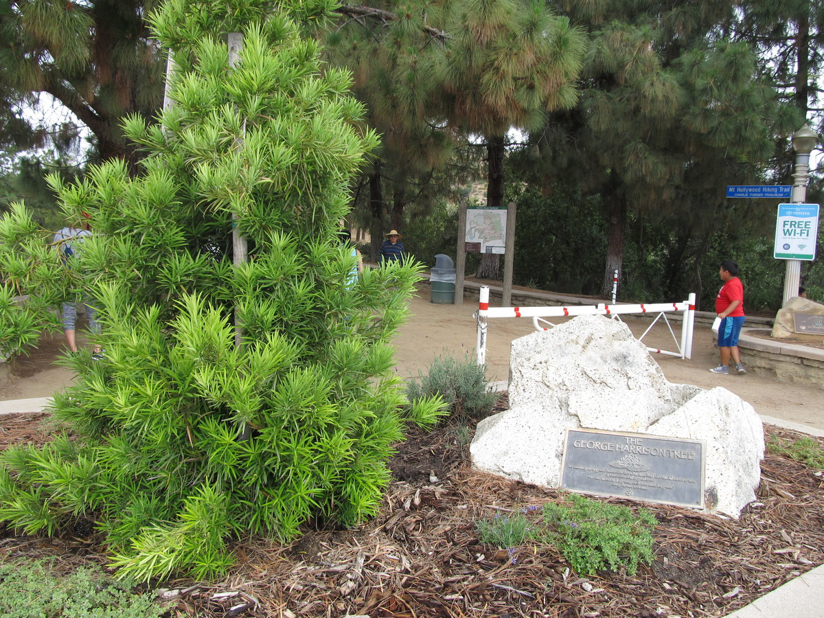
Return to the George Harrison Tree
 |
 |
 |
 |
 |
 |
 |
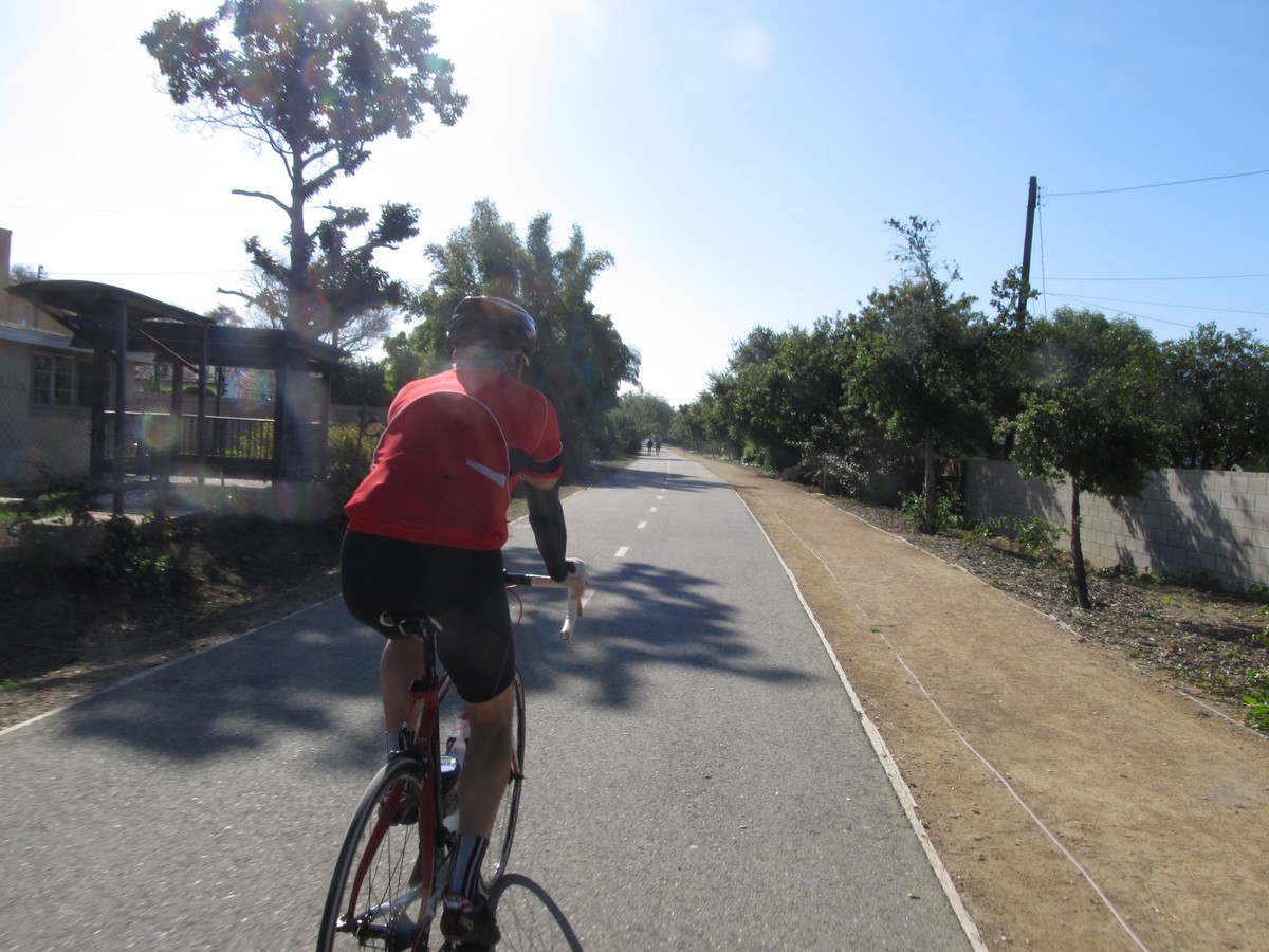
I don’t usually ride with the Foothill Cycle Saturday morning group, but today they were doing a ride that started from the park by my house, and they were doing one of my routes. The ride to Griffith Park to see the George Harrison Tree.
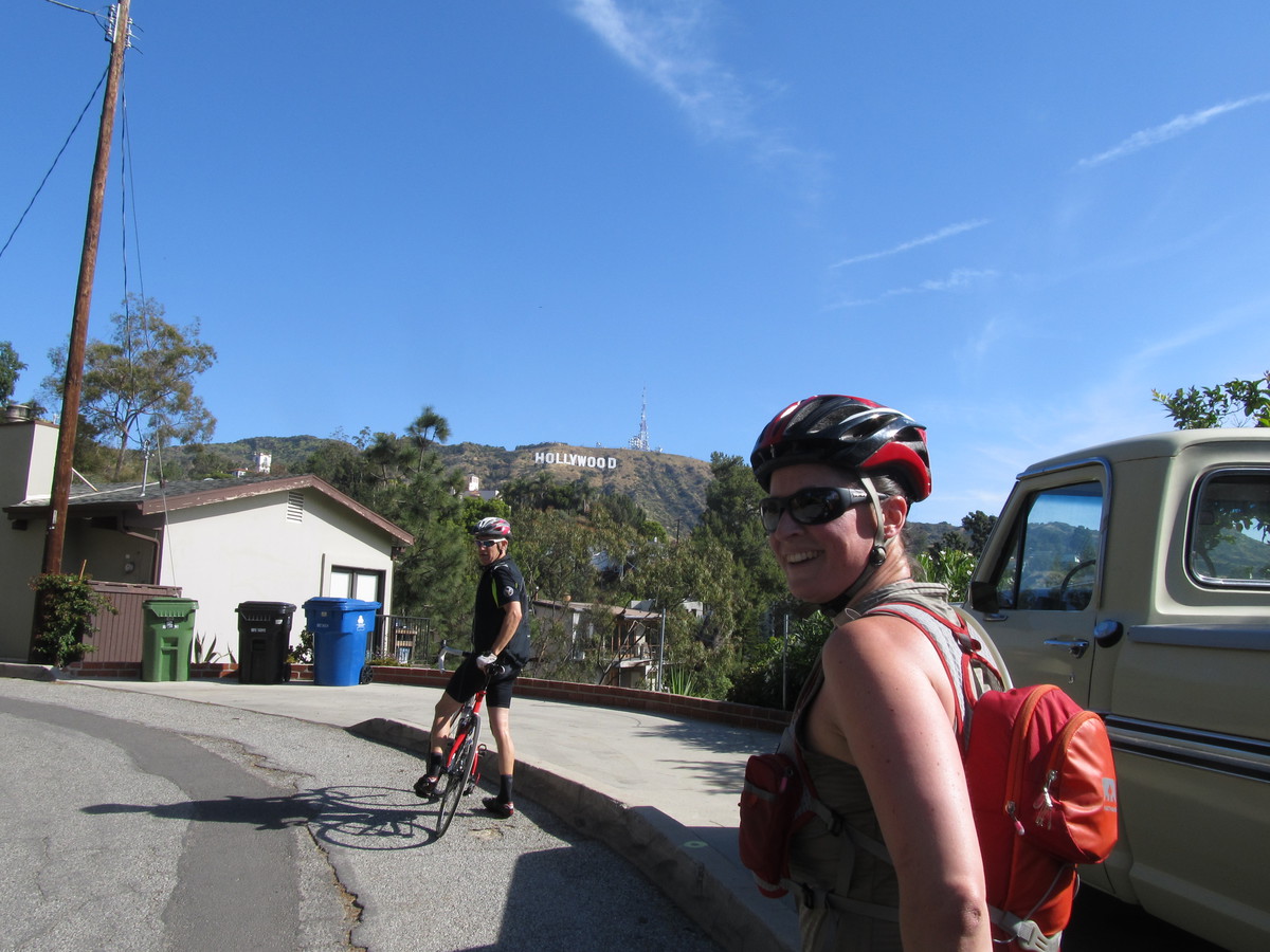
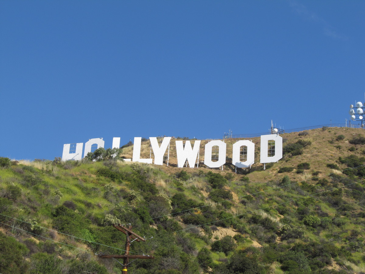
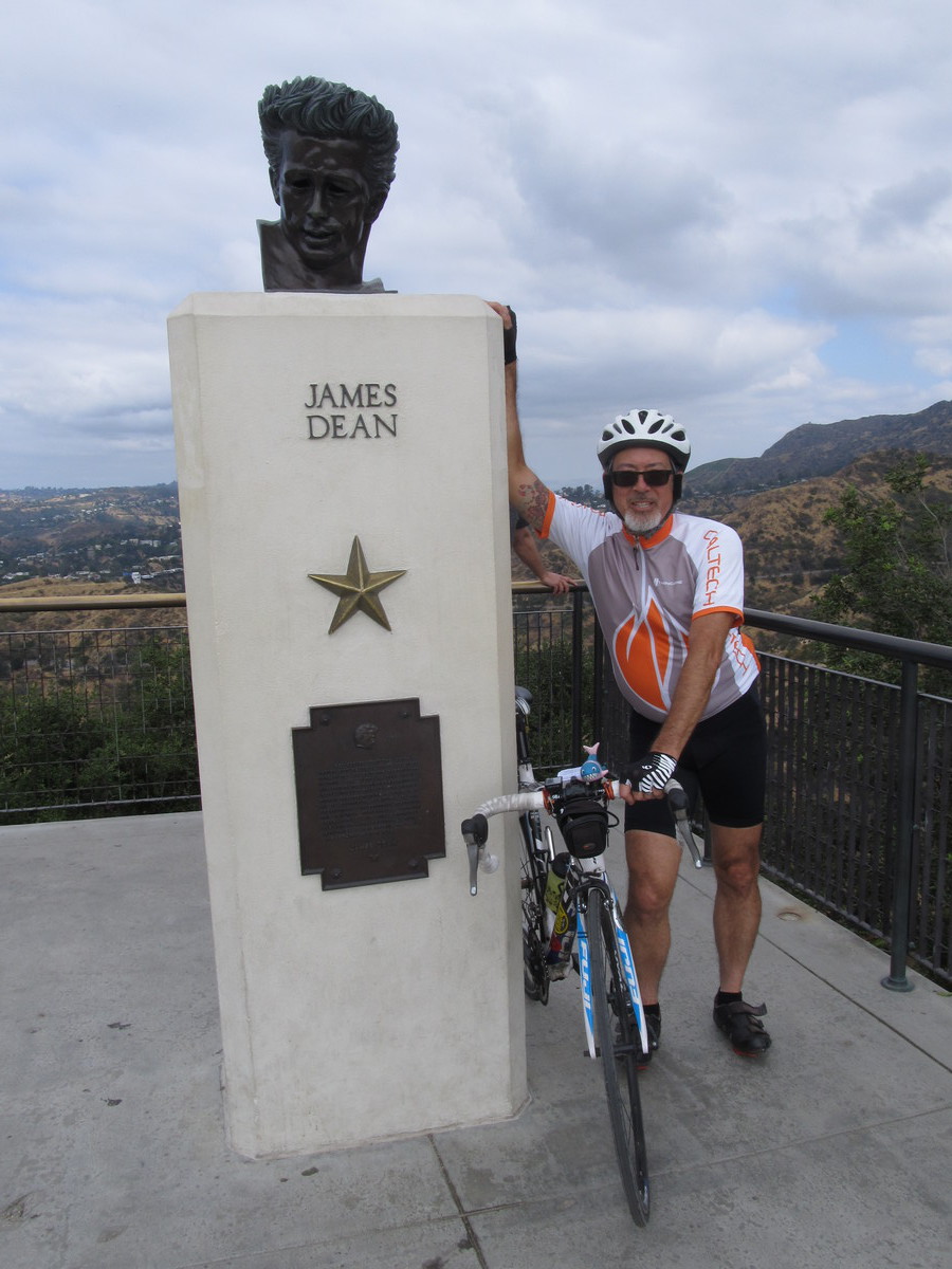
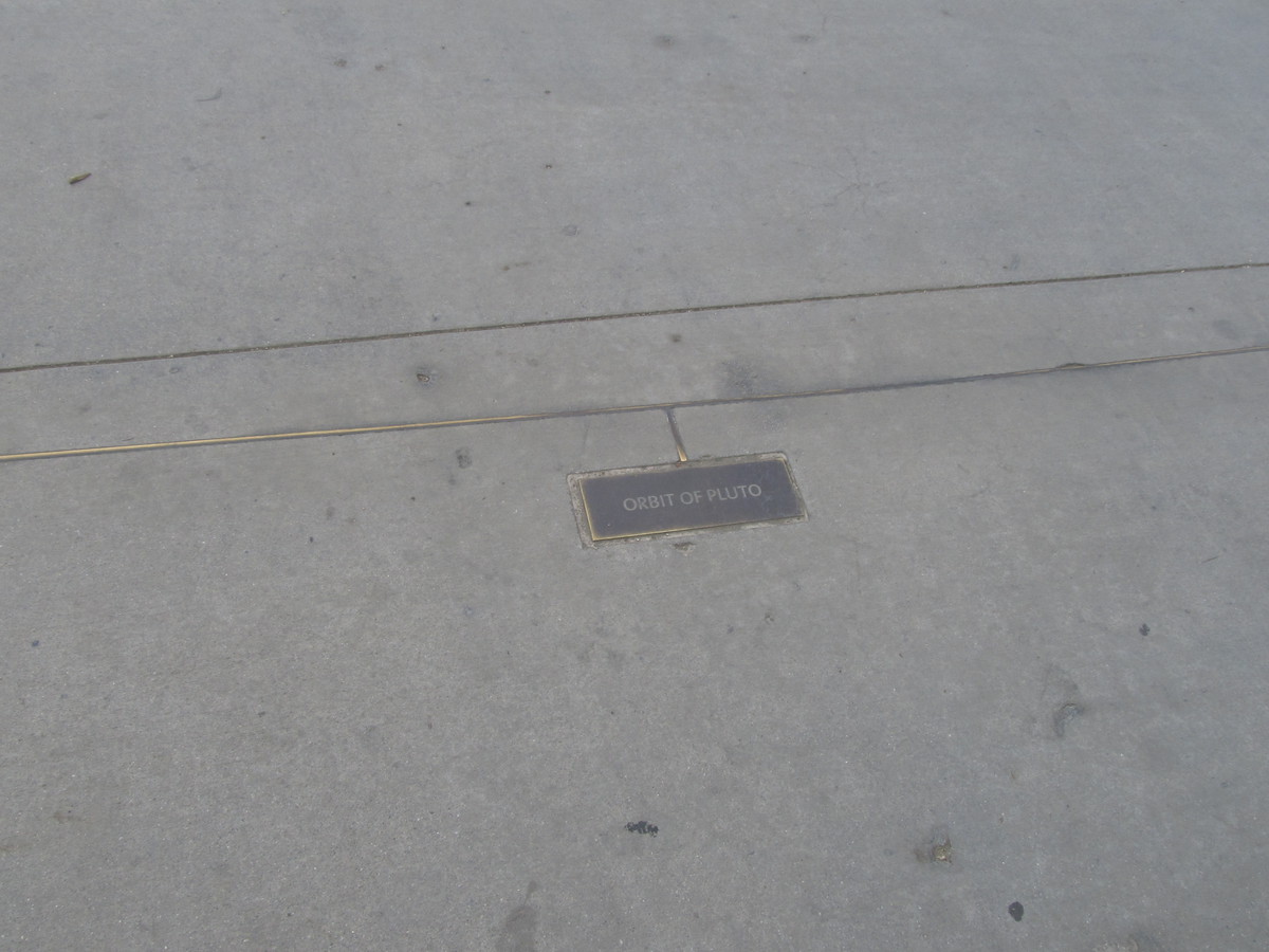
The route out was our standard route across Pasadena and through Eagle Rock to get to Hollywood. Then we turned and made our way up the hill to Griffith Observatory. They’ve changed the traffic pattern there since the last time we were there, and the two road leading up to the observatory are now designated as one-way, with one leading up, and the other leading down. So we had to ride through the tunnel to Toontown to get to the road up to the observatory. When we got up to the top, I went for the photo-op with the bust of James Dean, and also had a look at the orbits of the planets in the sidewalks in front of the observatory. I’d thought they didn’t have the orbit of Pluto plotted on there, but it turned out they did.
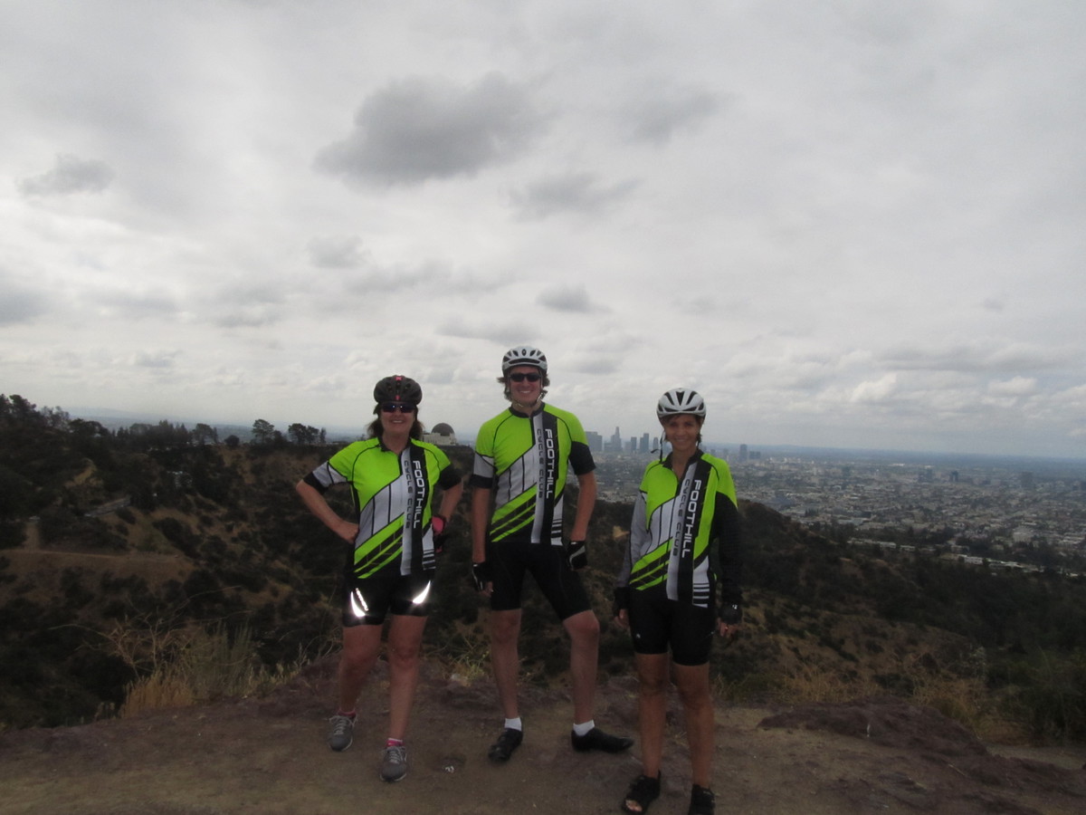
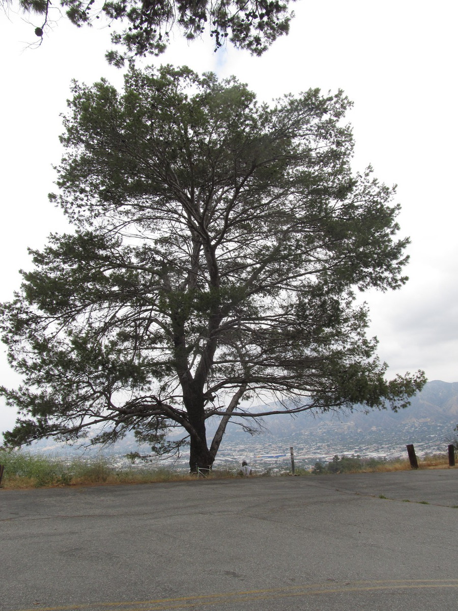
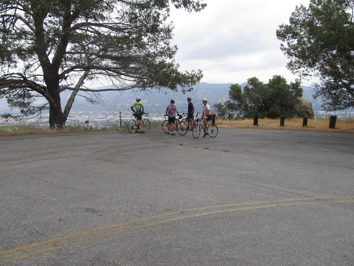
Leaving the observatory, we headed up Mt Hollywood Drive. We took a short side trip to an overlook that had a nice all-directions view of the park and the city. And after we rolled over the crest of the hill, we started down the Valley side, with a short stop at “Cathy’s Corner”, which was the location for the “What a Waste of a Lovely Night” scene from “La La Land”. I’m in the process of making up a theme ride to visit some of the “La La Land” shooting locations, and this is one of the more important ones on the list.
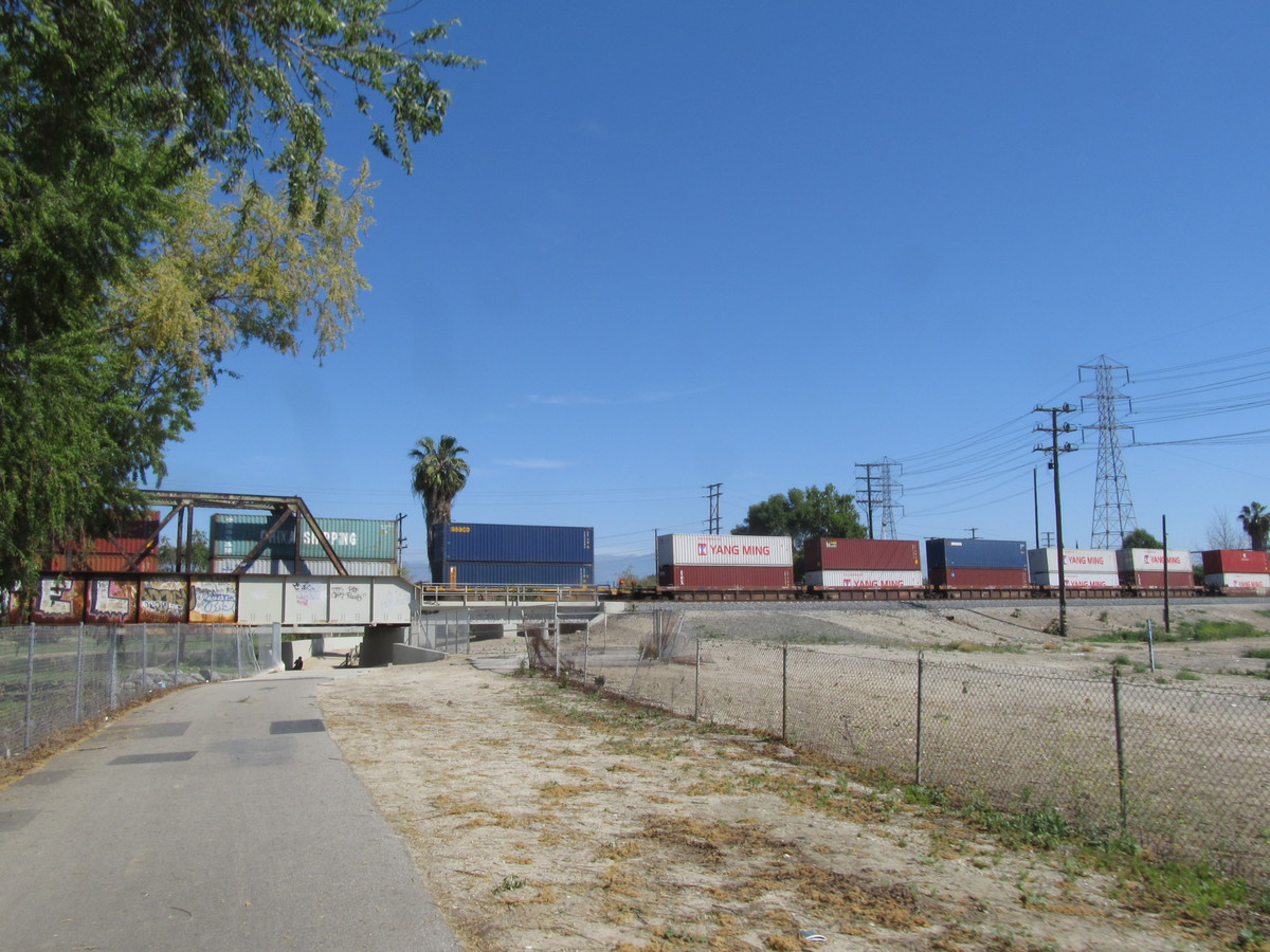
Continuing on down the mountain, we got to the bottom, where we turned left to head over the our snack stop at Priscilla’s in Burbank. We had drinks and snacks there, before starting for home. We rode back to the L.A. River bike path, which we took all the way to its south end at the bridge to Figueroa St. We took Figueroa north to Ave 57, and then turned off to get to Monterey Rd back to South Pasadena.
All told, it was a nice ride.
47 miles.