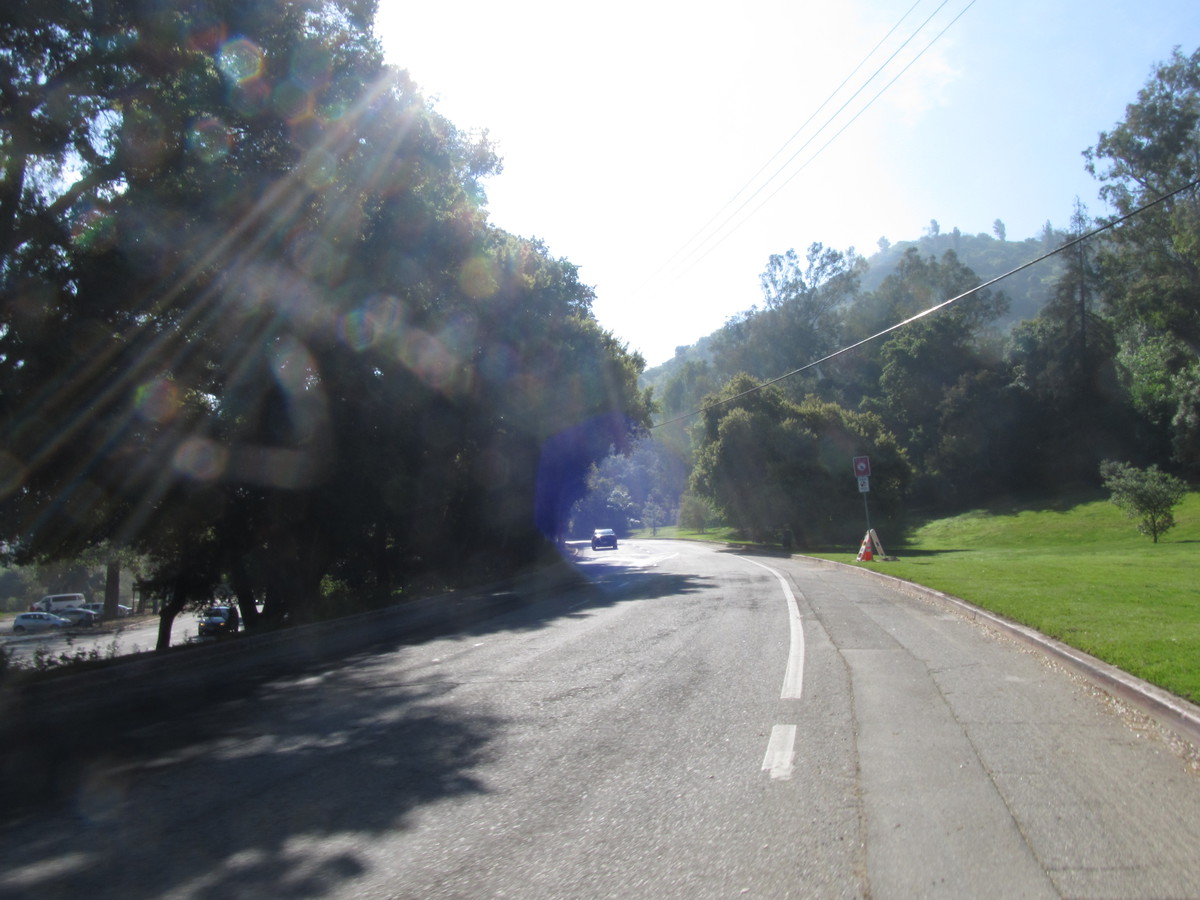
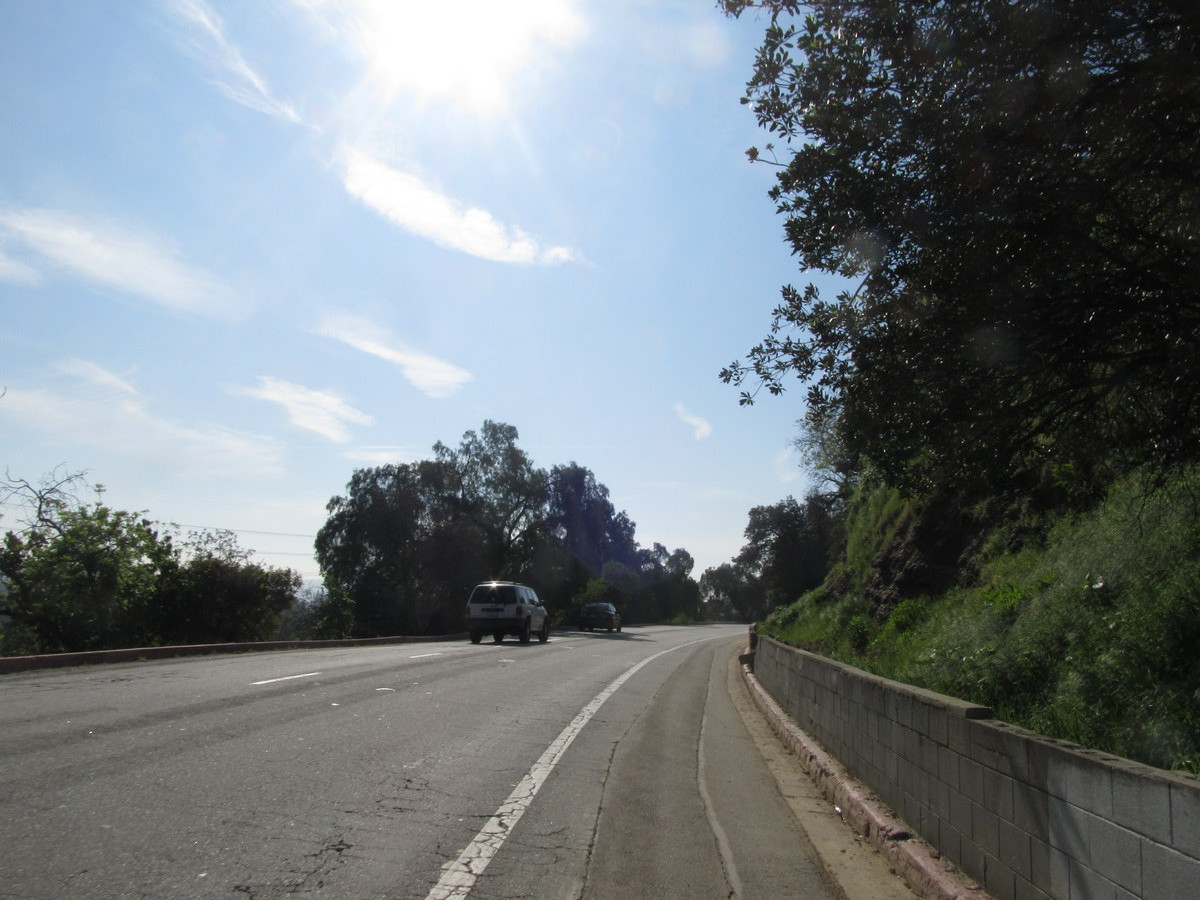
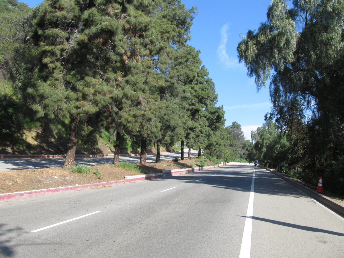
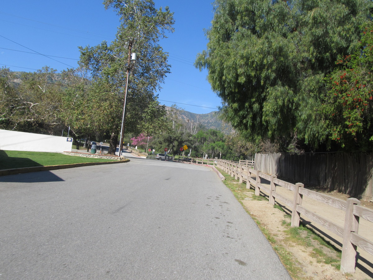
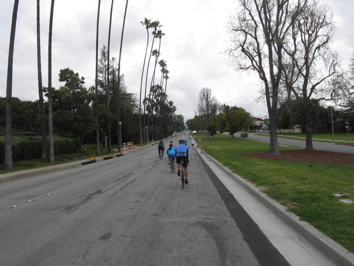
Today’s bike club ride was one to visit a little bit of my personal history. Back in 1978, I was bike racing, and I was here in Los Angeles that spring. And the first big race I rode in was the Griffith Park Road Race on March 19, 1978. The race was on the order of 50 miles, since that was pretty standard for Category 1-2 races in those days. And when we went around for the first lap, I realized that the course reminded me very much of the course we used to race in the Tuesday and Thursday evening training races at Old Westbury, on Long Island. It was a short loop with a long out-and-back dog-leg with a U-turn at the end. I remember seeing signs for the Merry-Go-Round, so I knew pretty much where it was, and the dog-leg was the out-and-back on Crystal Springs Drive. So today’s ride was to go back and visit the race course again.
The race itself went by in a blur. There were about 100 riders, and we were going fast the whole time. Nobody managed to break away. I don’t remember even making it to the front of the pack. I just stayed in the middle of the pack, hanging on. In the end, it was a pack sprint for the finish, and I recall that the winner was Jerry Ash. I had just graduated out of Juniors, so I felt pretty good to be racing in Category 2, and it didn’t seem particularly hard at the time. Which seems kind of ridiculous now, since I can’t even begin to think about riding my bike as fast as I could then. And even if I could, I think I’d be terrified by the speed…
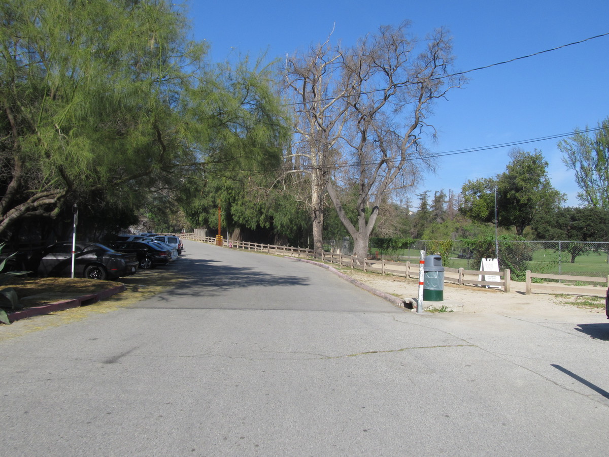
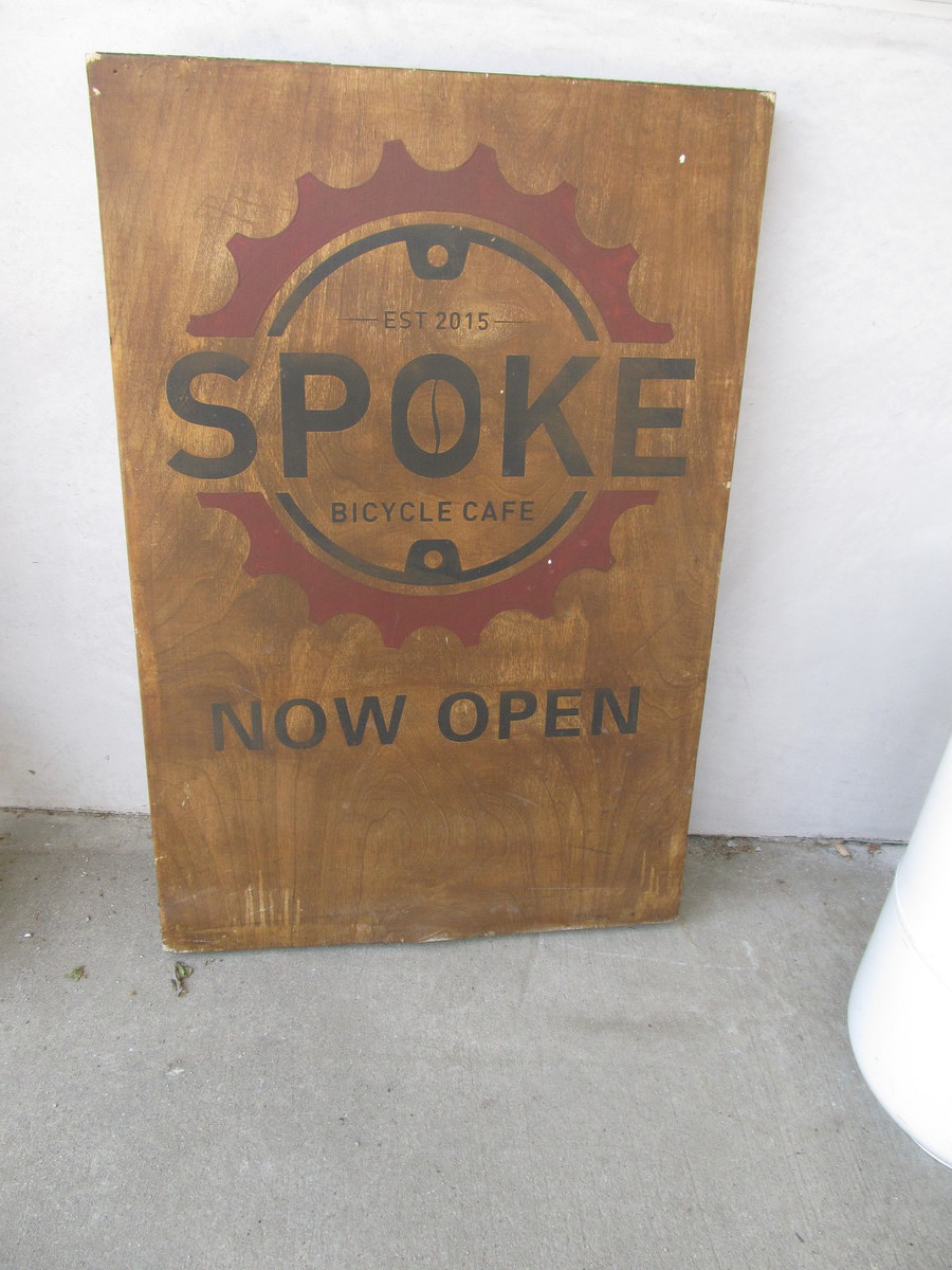
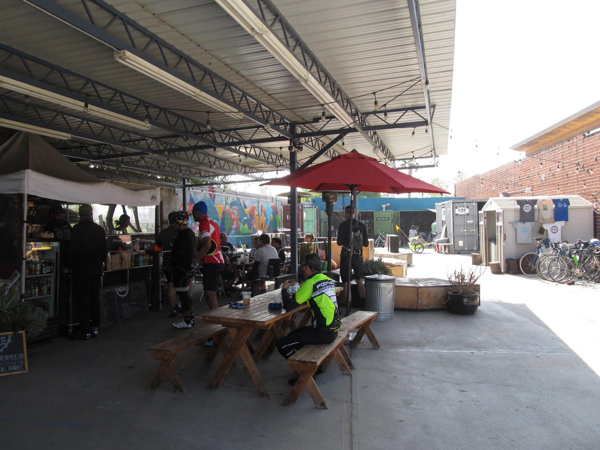
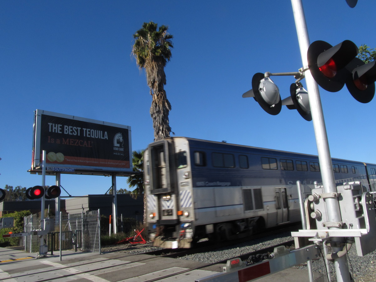
After visiting the old race course, we rode back through the park and got on the L.A. River bike path and rode down to Spoke. We had some snacks there, and then continued on down the river and then up Figueroa St. The route home was up the Arroyo Seco, and then back across South Pasadena, through Caltech, and then my regular route home from work.
44 miles.
Route map and elevation profile
Note that the map is incomplete. I forgot to turn my GPS thingy on until 4.4 miles into the ride.