Stan’s Obligatory Blog

10/30/2016

Down for the Count 2016

Filed under: — stan @ 2:46 pm

This year marks the tenth time we’ve done our traditional “Down for the Count” Halloween ride to Culver City to visit Bela Lugosi’s grave. The weather today was looking threatening, but most of the route was very close to one or another Metro Rail line.

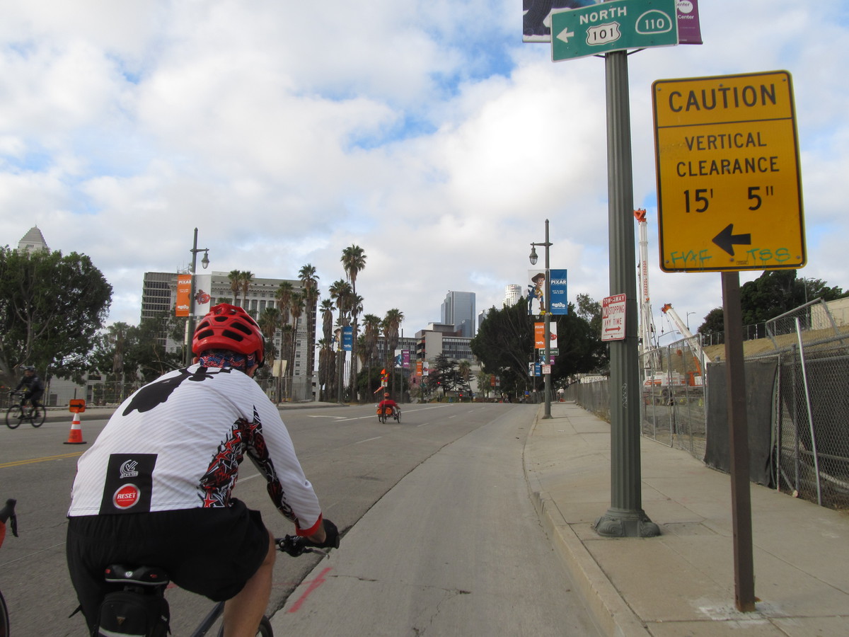
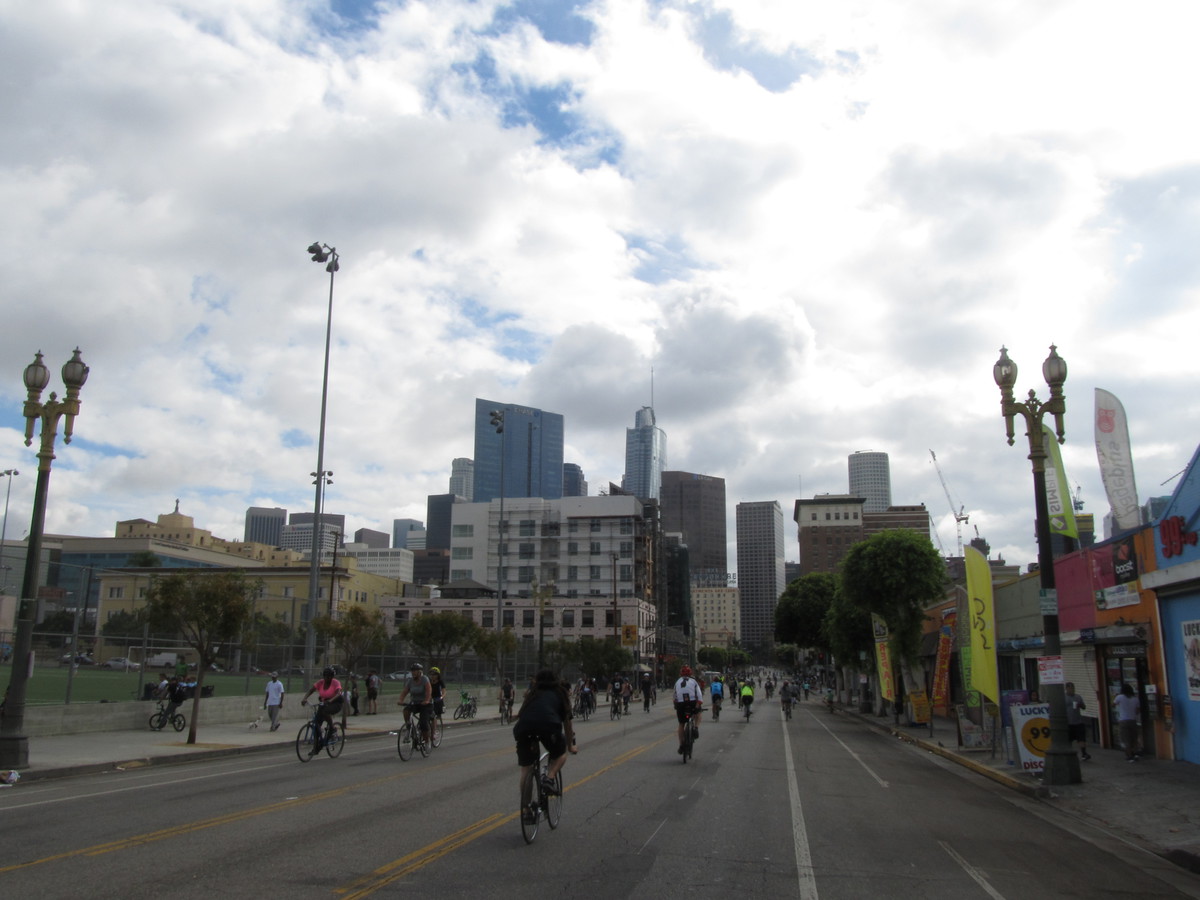
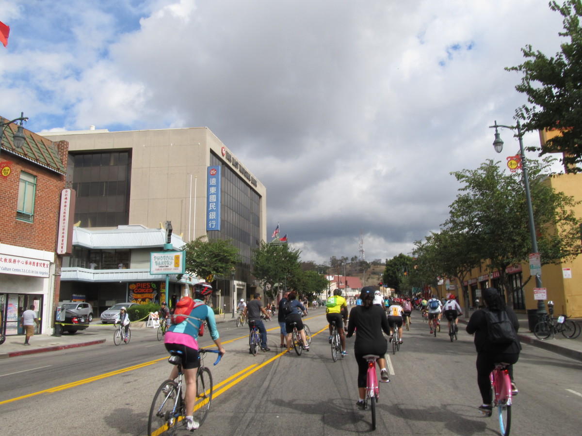
We rode through downtown L.A. I thought we’d see the Rock-’n'-Roll Half Marathon, and we did see a few runners, but it seemed like it was all over by the time we got there. Streets that I thought were supposed to be closed for the course were open to traffic. That seemed a bit odd.

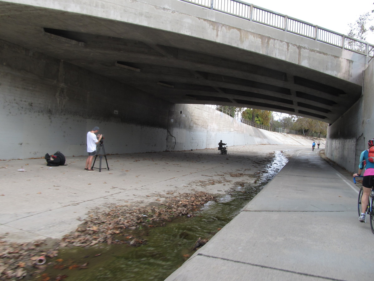
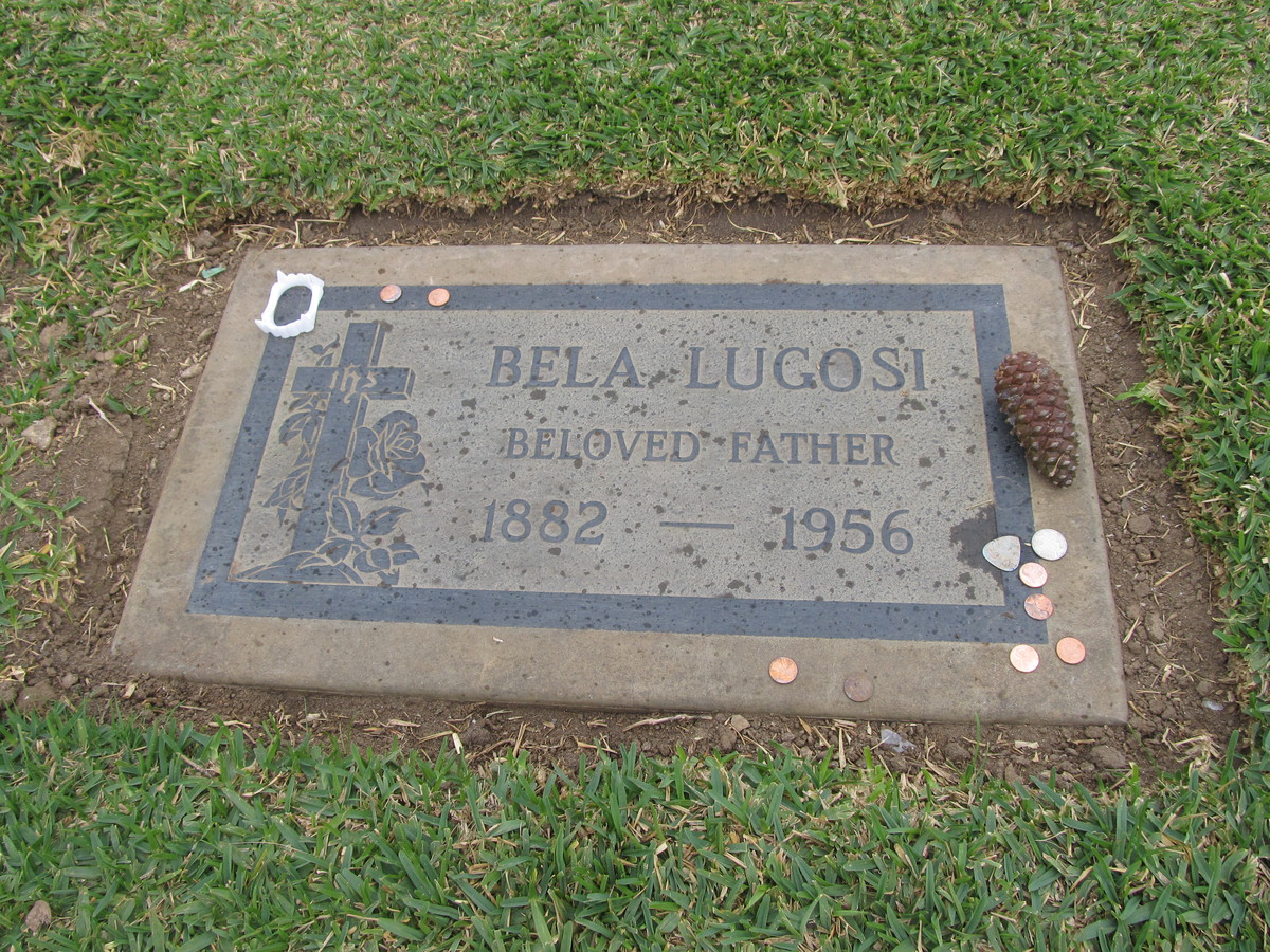
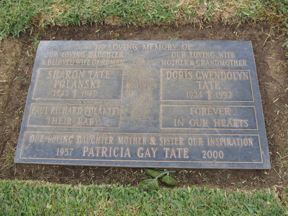
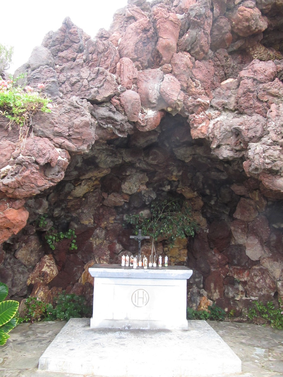
South of downtown, we picked up the bike lane built on Exposition, next to the Metro Expo line. We rode that all the way to La Cienega, where we got on the Ballona Creek bike path. We took that to Overland, and then rode to Holy Cross Cemtery. We came in the back entrance, and then rode up and over the hill to The Grotto, where there are a lot of famous people buried. As usual, someone had come by and left a set of vampire fangs on Bela Lugosi’s grave. And we were all a little surprised when Jen perked up when someone mentioned that Bing Crosby was buried nearby.

Leaving the cemetery, we rode back into Culver City to our snack stop at La Dijonaise in the old Helms Bakery complex. Just as we got there, it started raining. We got a table inside and had some snacks. When it was time to leave, it looked like the rain had stopped. But once we started up Venice Boulevard, it started raining again. It wasn’t pouring down, but it was raining hard enough that it really was not fun to ride in. So we turned off on La Cienega and rode over to the Metro station there.

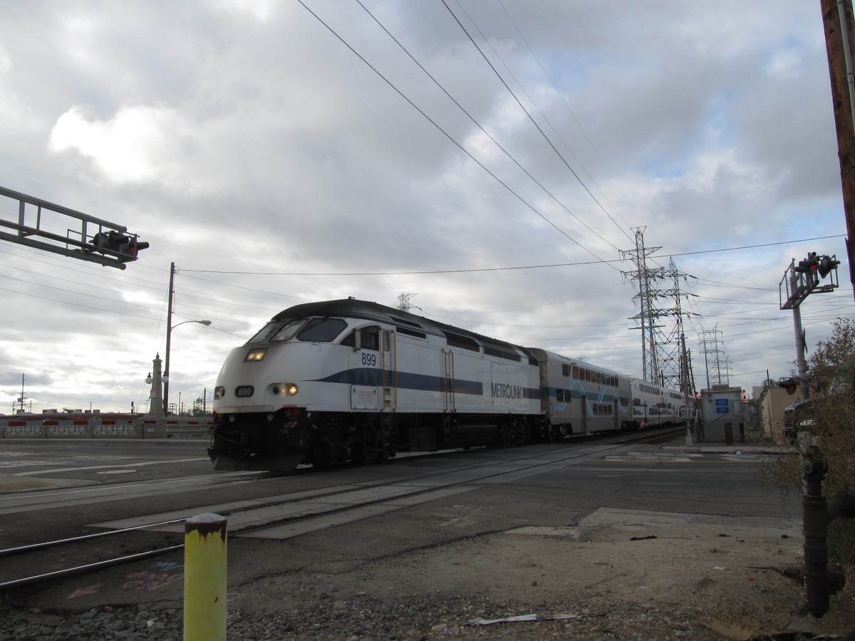
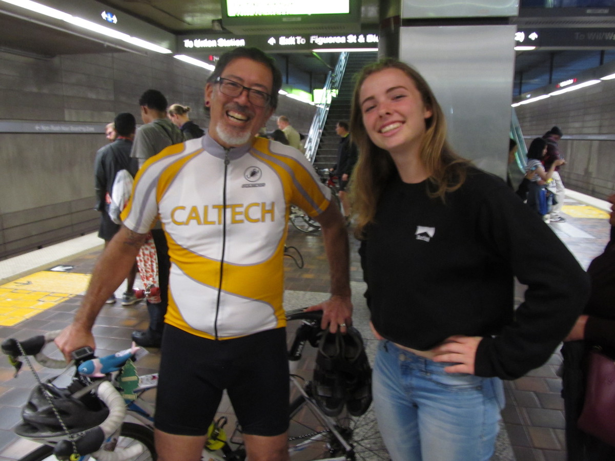
When we got up on the platform to wait for the train, there was a young girl there who started talking to us. It turned out she’s a bike racer. So I got to talk to her for most of the ride back to downtown. She told me stories about what racing is like now, and I told her some of my old-school racing stories from the ’70s. She said her dad used to race, so it’s possible we might have even been in some of the same races way back when.

33 miles

Route map and elevation profile

10/23/2016

Rainbow Donuts

Filed under: — stan @ 2:36 pm

Some months ago, I read an article about a small family-owned donut shop in West Covina. It’s owned by a family of Cambodian immigrants, and they have been a fixture in the neighborhood for almost 30 years. And now Dunkin’ Donuts is talking about opening a store in the same shopping center next year. So today’s ride was just to go see the shop and the center it’s in.

It was a cool and overcast morning. The forecast was for light rain later in the day, but it was pretty pleasant in the morning. We headed out east, and then south to get to West Covina. Along the way, we passed a house where the owners had really gone all-out decorating for Halloween. This was the same house that had the basketball-sized Christmas ornaments on the big tree next to it a few years ago. We were at the south end of the town, right up against the hills when we arrived. The donut shop is fairly unassuming. The sign was partially obscured by a tree. But there was a police car parked outside, so I guess that means the donuts are good.

Heading home, we rode through a little residential area to get to Lark Ellen Ave. That was the one real hill of the ride. Short, but pretty steep. Then we headed north. The plan was to take the little bike path next to the drainage channel north of Cameron. But when we got there, it was closed. There wasn’t a sign or anything indicating why, but that meant we had to double back and go around. Then we stopped for snacks at Panera in West Covina.

Heading home, we must have had a tail wind when we got on Arrow Highway by Santa Fe Dam. Without really trying, we were averaging over 20mph for no apparent reason. But then Silvio got a flat, so we had to stop for a bit. But once that was fixed, we headed home by our usual route. It was a pleasant ride.

40 miles.

Route map and elevation profile

10/16/2016

Metro Rail Tour and Ciclavia

Filed under: — stan @ 5:10 pm

The weather forecast for today called for a slight chance of rain, so that meant it was time to bring out the classic Metro Rail Tour. This is about 40 miles around L.A., but with the route never being more than two miles or so from the nearest Metro Rail station. We’ve done this before, and having the quick bailout option has come in handy in the past. Also, today was the Ciclavia downtown event, so we figured we could ride at least part of that route.

It feels like fall now, and we headed into downtown Los Angeles by our usual route. There were a few times when it started sort of just barely misting rain, but it wasn’t bad, and it stopped quickly. We made good time, and we got to the bridge across the river just in time to see the 8:50-or-so Metrolink train go by. Then we went to Chinatown and picked up the Ciclavia route. It had just opened, so it wasn’t crowded yet, and we rode the route to 7th and Flower, where we turned south.

We made the usual loop through Koreatown and Hancock Park, ending up at Noah’s Bagels in Larchmont Village. After the snack stop, we rode west, picking up the Ciclavia route again on 7th St near MacArthur Park.

Coming back into downtown, it started getting a bit crowded, so we turned off and rode up Main St instead of the Ciclavia route on Broadway. We took that to Chinatown, were we got back on Broadway to cross the river. Then we headed home by way of the Arroyo Seco bike trail

43 miles.

Route map and elevation profile

10/9/2016

Back in the saddle

Filed under: — stan @ 2:34 pm

It’s been just a bit over three weeks now since I had the surgery for the pituitary gland tumor, and last week, I got clearance from the surgeon to resume most of normal activities. Last week, I came on the bike club ride, and we rode to Glendora. That time, I bailed out at 25 miles and rode the Metro home from Azusa. So my goal for this week was to try and go a bit farther. The route for today was the ‘Big Donut’ ride to La Puente to see the Donut Hole drive-through donut shop. The route is something like 45 miles, but I figured I’d probably bail out somewhere near the end when the route met up with the Metro.

The route is pretty flat, although it begins with the ride up and over the hill through Sierra Madre. I was curious about this, since I was curious to see how the downhill out of Sierra Madre would feel. For the last few years, I’ve been having a sort of low-grade vertigo thing that’s made me doubt my balance on the bike. This has caused problems with both downhills, and also with doing my traditional trackstands at red lights. Last week, I managed to make it all the way to Glendora without having to put my foot down at any of the lights, and that was my goal again for today. And it worked out pretty well. There were a couple of intersections that were off-camber, so I ended up putting a foot down at them, but most of them, I was able to just balance on two wheels until the light changed. So between that, and the fact that the blurred vision I had in my left eye has cleared up, the surgery seems to have done what it was supposed to do.

We stopped briefly for a photo-op at the Big Donut. Then we continued on, making a loop through West Covina and back up to Irwindale and Santa Fe Dam. We picked up the bike path there, and rode that up to Duarte and Encanto Park. At that point, I had about 33 miles, and that was where I bailed. I rode about two more miles to get to the Duarte/City of Hope Gold Line station, where I got on the train to come home. For some reason, the train was packed. There must have been a game of some sort going on somewhere that everyone was going to. But I rode the train back to the Allen station in Pasadena, and then rode the two more miles home from there. So overall, it was a pretty good ride. I think next week, maybe I’ll try for the full 40-mumble miles we usually do on Sunday mornings.

35 miles, plus two more riding home from the Metro station.

Route map and elevation profile

Powered by WordPress