Stan’s Obligatory Blog

5/31/2020

The Glendora Bougainvillea

Filed under: — stan @ 2:16 pm

This has been a weird week. Protests erupting in the streets around the world. So it seemed appropriate that we should avoid going anywhere near downtown Los Angeles today. So the other direction took us east to go see the Glendora Bougainvillea. We’ve been to see it before, but this is the prime season for bougainvillea flowers, so it’s generally a good time to go see it. And it worked out well. We didn’t see any street protests along the way, and the flowers were nice.

43 miles.

Route map and elevation profile

5/24/2020

The Giant Tamale

Filed under: — stan @ 2:22 pm

Today’s bike ride was a trip down to East L.A. to see the giant tamale on Whittier Blvd. This is one of the relatively few remaining examples of programatic architecture in Los Angeles. Also, on the way there, we took a short side trip to see the sea monsters playground at Vincent Lugo Park in San Gabriel. On the way back, we stopped at Merengue in Monrovia. For some reason, there was no line there today, so we were able to go in and get some snacks.

39 miles.

Route map and elevation profile

5/22/2020

A Bit of History

Filed under: — stan @ 3:46 pm

This whole retirement thing is still very novel. It means that I can go on weekday bike rides, and being on lockdown at home means I have time to watch a lot of TV and movies. Lately, I found a new PBS show called “Lost L.A.”. One of the episodes is called “Discovering the Universe”, about how the Mt Wilson observatory was the site of one of the single greatest astronomical discoveries. So while I was out riding with Carla today, we decided to go by and see the Carnegie building in Pasadena where they have the archive of the glass photo plates where Edwin Hubble figured out that the universe was far, far larger than the Milky Way galaxy. It was this bit of history that was why I was willing to fork over a fair amount of money to Atlas Obscura for a chance to go look through the 100-inch telescope.

30 miles.

Route map and elevation profile

5/17/2020

The Little Free Pantry

Filed under: — stan @ 3:20 pm

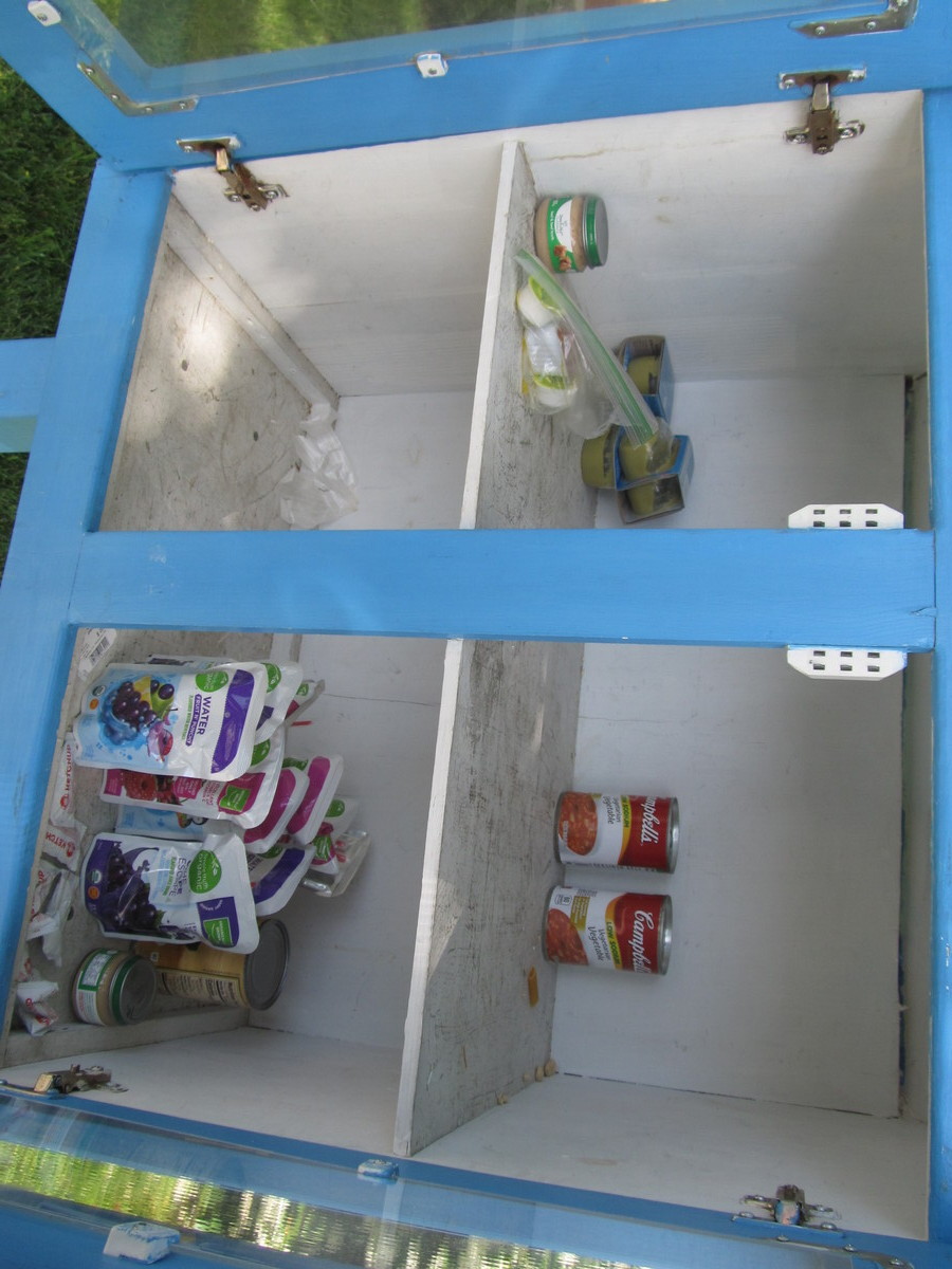
Last year, I’d read an article in the L.A. Times about a church in Burbank that adapted the Little Free Library idea into a Little Free Pantry for the community. Now that we’re on lockdown for the last two months, and millions of people are out of work, I thought we should go back there, since I guessed that it was probably pretty empty. I brought along two cans to donate, and several other people brought small backpacks with non-perishable food items in them.

When we got there, the Little Free Pantry was indeed pretty bare. We put all our items in it, and we pretty much filled up the top shelf. I hope that helps someone out there.

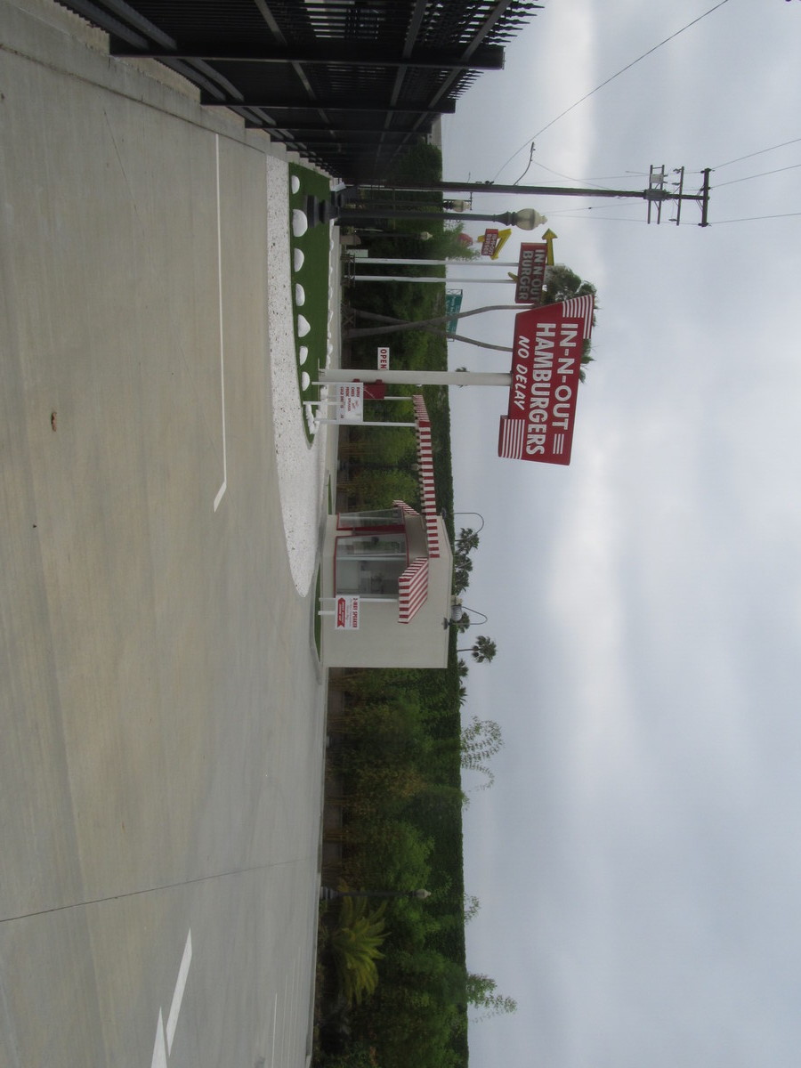
We went to Priscilla’s in Toluca Lake, but part of our group got separated, and I went back to look for them. It turned out they’d missed a turn, and just went there by a slightly different route. But that added a couple miles to my total.

Since my old Magellan GPS bit the dust a couple weeks ago, I decided to join the cult of Garmin. I got a Garmin Edge 130, and today was the first shakedown ride with it. Just looking at the data, it seems to do a very good job, and it seems that the altitude data looks better than what the old Magellan did.

44 miles.

Route map and elevation profile

5/10/2020

The Big Donut

Filed under: — stan @ 3:17 pm

I checked my logs, and it’s been over a year since we went to La Puente to see the big drive-through donut shop. So that was the ride for today. Since it’s exclusively a take-out operation, I figured it would be open. It was a pleasant ride. Nothing bad happened. We stopped for snacks at Merengue in Monrovia, but there was a long line outside, so we skipped it.

45 miles.

No map this time, since when I fell last week, it broke one crucial switch on my GPS unit.

5/3/2020

Whittier

Filed under: — stan @ 3:09 pm

Today’s bike ride was the Random Ride to Whittier. We’ve done this many times before, and today really looked like it would just like the others. Until I fell. We have riders fall on our rides once in a while, but it’s extremely rare that I go down. Last time was in 2002. And since I’ve been riding as an adult, I’ve only fallen seven times over the 47 years leading up to today. So it was a shock.

On the way there, we did the obligatory stop for a photo at Dork Street in Pico Rivera. We do this any time we’re down there and have someone new on the ride.

The incident took place just when we got on the Whittier Greenway Trail. I’d pulled off the trail for a moment, and on the way back onto the pavement, my front wheel caught on a little big plastic edging strip sticking out of the dirt. And down I went. Yick. It was a very low-speed crash, so really it was just me ego that was badly hurt.

We were going to stop for snacks at Mimo’s in Uptown Whittier, but we decided to just skip that and head home.

45 miles.

Route map and elevation profile

5/1/2020

This was nice

Filed under: — stan @ 4:14 pm

So this happened. I put in my paperwork to retire from the USGS, effective March 31. Then the coronavirus came along. They sent us all home, and I put in my last two weeks on the job from home. And of course, the lockdown also meant I didn’t get a proper retirement party. At the time, I’d told everyone that my plan was to spend the month of April doing nothing. But that was supposed to be by choice. But now we are here at the beginning of May, and I really did do nothing in April.

But today, a package came from FedEx. It was a very nice plaque for my retirement. So that makes for a nice cap to a 25-year career at the USGS.


Powered by WordPress