Stan’s Obligatory Blog

7/26/2015

Taco Bell

Filed under: — stan @ 1:53 pm

I recently read that the building that was the world’s first Taco Bell is going to probably be torn down soon. I looked it up, and it’s in Downey, not far from the old Johnie’s Broiler that we visited recently. Between that and the oldest operating McDonald’s in Downey, there’s a lot of fast-food history there.

We rode straight down Del Mar through San Gabriel, and then when we got to Whittier Narrows, we turned down Rosemead and took that all the way to Downey. We passed the old McDonald’s and then turned on 5th St. That took us past the apartment buildings The Carpenters owned. Then, when we got to downtown Downey, we stopped for coffee and snacks at 3rd St Coffee.

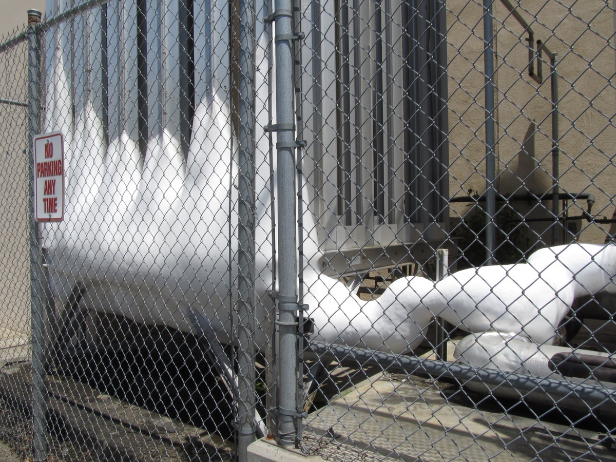
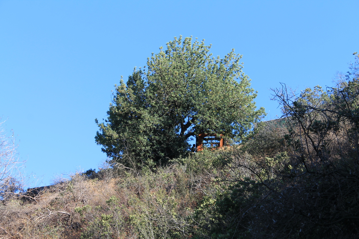
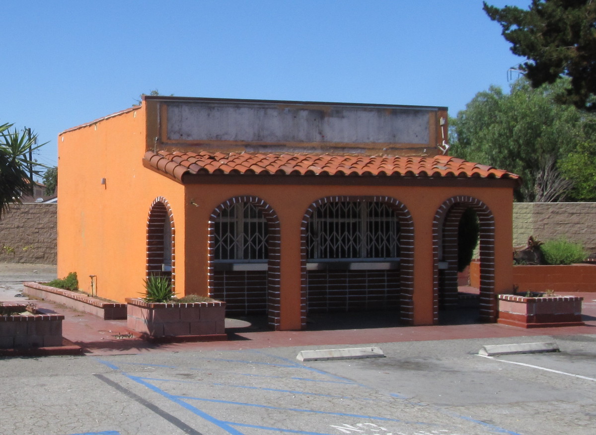
After the snack stop, we continued west for a bit, and then south to Firestone Blvd. We went a couple of streets beyond Firestone, turned right, and came back out on Firestone through a sidewalk at the end of a cul-de-sac. That brought us out right by the former Taco Bell. The building, as well as the building next to it, and their parking lot were all fenced off. I had to hold the camera up over the fence to see anything. It looks like the preservationists may not have succeeded, since the site looked like it was ready to knock down. I guess we will have to stop by again in the future and see.

Continuing south for a bit, we came out by the Rio Hondo. We got on the Rio Hondo bike trail and took that all the way back to Whittier Narrows. Then we took Walnut Grove back home. It was a pleasant ride.

40 miles.

Route map and elevation profile

That’s an even bigger telescope…

Filed under: — stan @ 1:26 pm

Last September, we went to Mt. Wilson for an evening with the 60-inch telescope. But last spring, I got a notice from the Atlas Obscura people that they were going to be doing an evening with the 100-inch telescope. That telescope is the one that Edwin Hubble used to discover Cepheid variable stars in the Andromeda nebula, which enabled him to establish that it was in fact another galaxy. This was a major discovery, since it proved that the universe consisted of far more than just our galaxy. It was also the telescope he used to discover the expansion of the universe. All told, it’s a big piece of astronomical history.

Our group met up in La Cañada before heading up Mt. Wilson. At the top, our session director, Shelly Bonus met us and led us back to the telescope. Inside, we got a tour of the dome while we were waiting for nightfall. As it started to get dark, they pointed the telescope at the moon so that we could have a look. The magnification on such a big telescope is pretty large, and we could only see a few craters in the small field of view. After that, they moved the telescope just a bit to have a look at Saturn. The Cassini Division was clearly visible, and this was the first time I’ve ever seen the C-ring. The planet also showed some nice color, and bands in the clouds.

Next up was M13, the big globular cluster in Hercules. I didn’t recognize it in the big telescope. In my little telescope, it looks like a ball of fuzz. But here it was big, and it was resolved into stars. Many, many stars. Then we moved just a short distance away to M92, which is a smaller globular cluster. It didn’t fill the field of view, so it was more easily recognized as a globular. We looked at a few double stars just to admire the resolution of the big telescope. Then we looked at Campbell’s Hydrogen Star. The nebula around the star was a deep red color, and it looked good. All in all, it was a fun time in a geeky way.

7/12/2015

The Rock Walk

Filed under: — stan @ 1:28 pm

A few years ago, I took a ride to Hollywood to do a Ramones tour. One of the stops on that tour was at Guitar Center on Sunset to see the Ramones’ handprints in the concrete in front of the store. I recently realized that the Rock Walk has a lot more than just the Ramones on it. In particular, I saw that the Funk Brothers are on it. So I thought this would be a good piece of sightseeing for the Sunday morning bike club ride.

We rode out there by our regular route through South Pasadena and Highland Park. After we crossed the L.A. River, we made a quick stop to see the Snow White Cottages. We’ve been by there a hundred times, but never made the half-block side trip to see them.

Once we got into Hollywood, we rode the length of Hollywood Boulevard down to the Chinese Theater. Then we turned off and headed down to Sunset and Guitar Center. Sadly, Guitar Center doesn’t open until 11 on Sundays, so we could only look at the handprints through the screen that they close at night. Still, it’s quite a collection.

From there, we rode down to Larchmont Village to Noah’s Bagels. I took a walk a couple doors down the street to Salt and Straw just to see what they had there. It looked and smelled good, but 10AM is just a little early for ice cream for me.

The route home was our regular route up Benton Way through Silver Lake. I’d read recently that they were draining the Silver Lake reservoir, but when we went by it, it still had quite a bit of water in it.

At the end, we went through Eagle Rock and up the Colorado hill to get back to Pasadena. It was a nice ride.

40 miles.

Route map and elevation profile

7/11/2015

Some local sightseeing

Filed under: — stan @ 12:44 pm

George Ellery Hale was an astronomer and one of the founders of Caltech. And I read recently that his old observatory, where he studied the Sun, was still standing, and only a few blocks from campus. So, one day when I was climbing the stairs at Millikan Library, I took a look out the window from the 9th floor, and I could see the dome peeking up through the trees a short distance away. So today, I went for a short bike ride to go see it.

It had been pretty easy to spot from up in the air, but it was a bit harder to find from the ground. The property it is on had been sold a long time ago, and a large house had been built there. So I had to cruise around the neighborhood, looking down all the driveways, before I saw it. It was at the far end of a very long driveway, and jut the top of the dome was above the trees.

Since I’d gone to see his observatory, I took a short side trip to Caltech to see bust of Hale on campus, and also to see the giant chunk of ice that is always present on the liquid nitrogen storage over by Physical Plant and the loading dock. And on the way home, I stopped for a photo of the funky palm tree. I pass it every day riding to and from the office, but I don’t usually stop to look at it.

7/5/2015

Glendora Mountain for the 4th

Filed under: — stan @ 2:59 pm

It’s July 4th weekend, and once again, they closed Glendora Mountain Road to cars. So, like we have for the past several years, the Sunday Morning Ride went there to enjoy riding the quiet eight-mile climb up Glendora Mountain.

The ride out there was pretty routine. And when we got to the turnoff, we rode the mile or so up to the closed gate, lifted our bikes over, and headed up the mountain. Along the way, we passed some guys hiking up with their skateboards. And then, a little farther up, we were passed by three guys on skateboards who were coming down the mountain fast. We also saw many, many other bike riders who had the same idea we had and had come to ride the fabled mountain road.

It was cool and overcast, which made for a pleasant ride. Up near the top, we came out above the marine layer, and we had blue sky and sunshine for the last mile or two of the climb. Still, it was a far cry from the time we rode there when it was over 100 degrees. And four years later, we still talk about how good the oranges we had that day were. But today was basically a perfect day for riding.

I’d brought along my little GPS unit, so I finally know just how long that hill is. According to the data, it’s about nine miles and 2,400 vertical feet from the turnoff at the bottom to the top of the hill. That works out to about a 6% grade, which is pretty consistent all the way up.

On the way back, we were going to try to go to Merengue in Monrovia. I’d read that they had a new location, and we were able to find it, but it wasn’t open. They had a sign in the window saying that they were going to be conducting interviews this coming week to hire staff to run the place, so that implies that they will be open again soon. In the meantime, we went up to the Coffee Bean at Foothill Blvd and had snacks there. Then we headed home by the most direct route. That was where Jim got a flat. But despite that, it was a pleasant ride.

55 miles.

Route map and elevation profile

7/2/2015

The Griffith Park Tea House

Filed under: — stan @ 7:17 pm

Yesterday, I read about how some unknown artists had popped up a little Japanese-style tea house on an old concrete pad on top of one of the peaks in Griffith Park. Apparently, it was done on the sly in one night, and from the pictures I saw, it looked like it was very nicely done. Since it was unclear how long it would be there, I figured it was something we should go see immediately. Fortunately, Morgan and Jason from my office were up for it, and we headed over there this afternoon.

The instructions on how to find it from Modern Hiker were for starting out from the observatory, but parking there is always a problem, and coming from Pasadena, it’s just easier to start from the other side of the park, by the Old Zoo. We headed up the trail just like we did back in March, when we went to Mt Hollywood to see the marathon lights. When we got to the part of the trail that goes around just below Taco Peak, we looked up, and the tea house was there. Just a short distance up the trail, we came to the spot and saw it close up. There were quite a few people there to see it. I guess everyone had the same reaction to hearing about it.

The artists had left pencils and little wooden chips to write wishes for Los Angeles on, but all the wood chips had been used. We went inside to see them all hung on the pegs and read what people had written. It was all very nicely done. The construction of the house was first-rate, and it really looked like it belonged there. It’s unclear what will happen to it, but at least we got to see it when it was still fresh.

It kind of reminded me of Amir’s Garden, which is another place in the park that was built by one man with a vision. So on the way down, we took a route to go through there. It was nicely cool and shady there, as the garden is irrigated with what I can only assume is reclaimed water. But it was very nice there. Then we took a very steep trail down the end of the ridge to get back to the trail that would bring us back to our starting point. It was a good little afternoon adventure.

Route map and elevation profile

Powered by WordPress