Stan’s Obligatory Blog

7/30/2017

“La La Land”

Filed under: — stan @ 5:55 pm
Screenshot
Screenshot
Screenshot
Screenshot
Screenshot

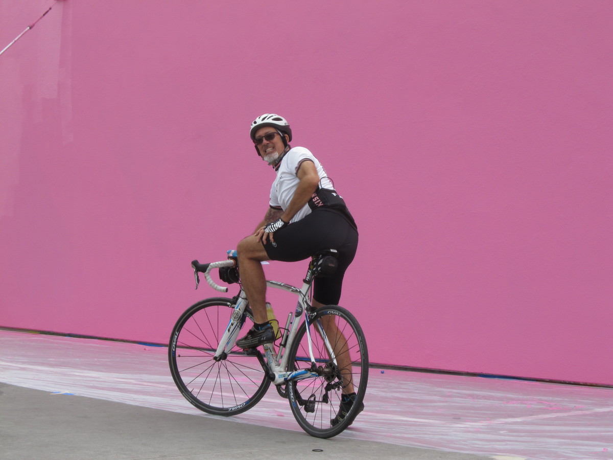
Today’s bike club ride was the “La La Land“-themed ride I’ve been putting together for a while. We rode around Pasadena, Hollywood, and Burbank to go by several of the locations where scenes from “La La Land” were shot. Some of them only appear for a few seconds, while a few were the locations for relatively long scenes. The pictures from the ride are here, and where it’s relevant, there is a screenshot of the location as it appeared in the movie.

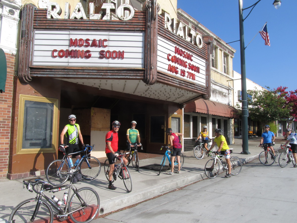
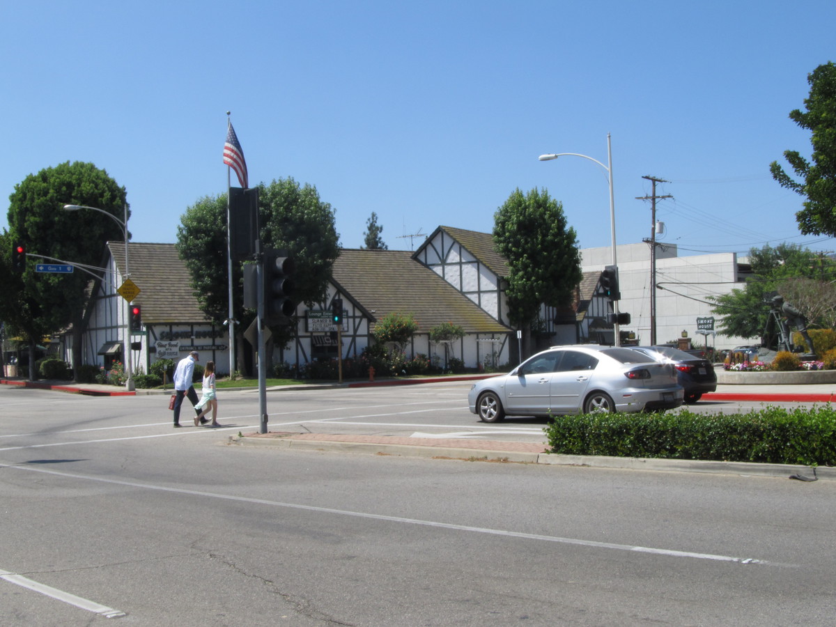
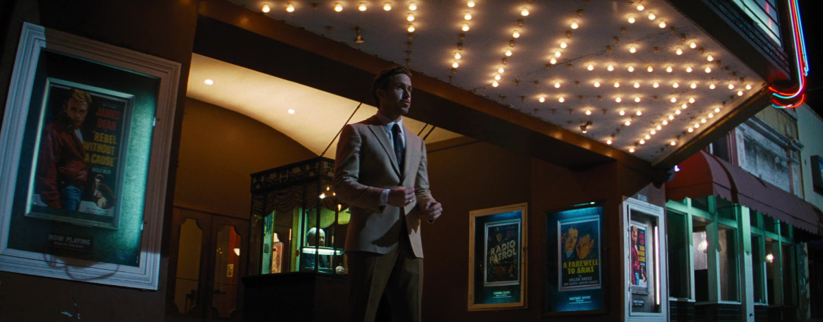
The first stop was the Rialto Theater in South Pasadena. This was where Sebastian and Mia went to see “Rebel Without a Cause”. The theater has been closed for about ten years now, but there is still talk of renovating it.

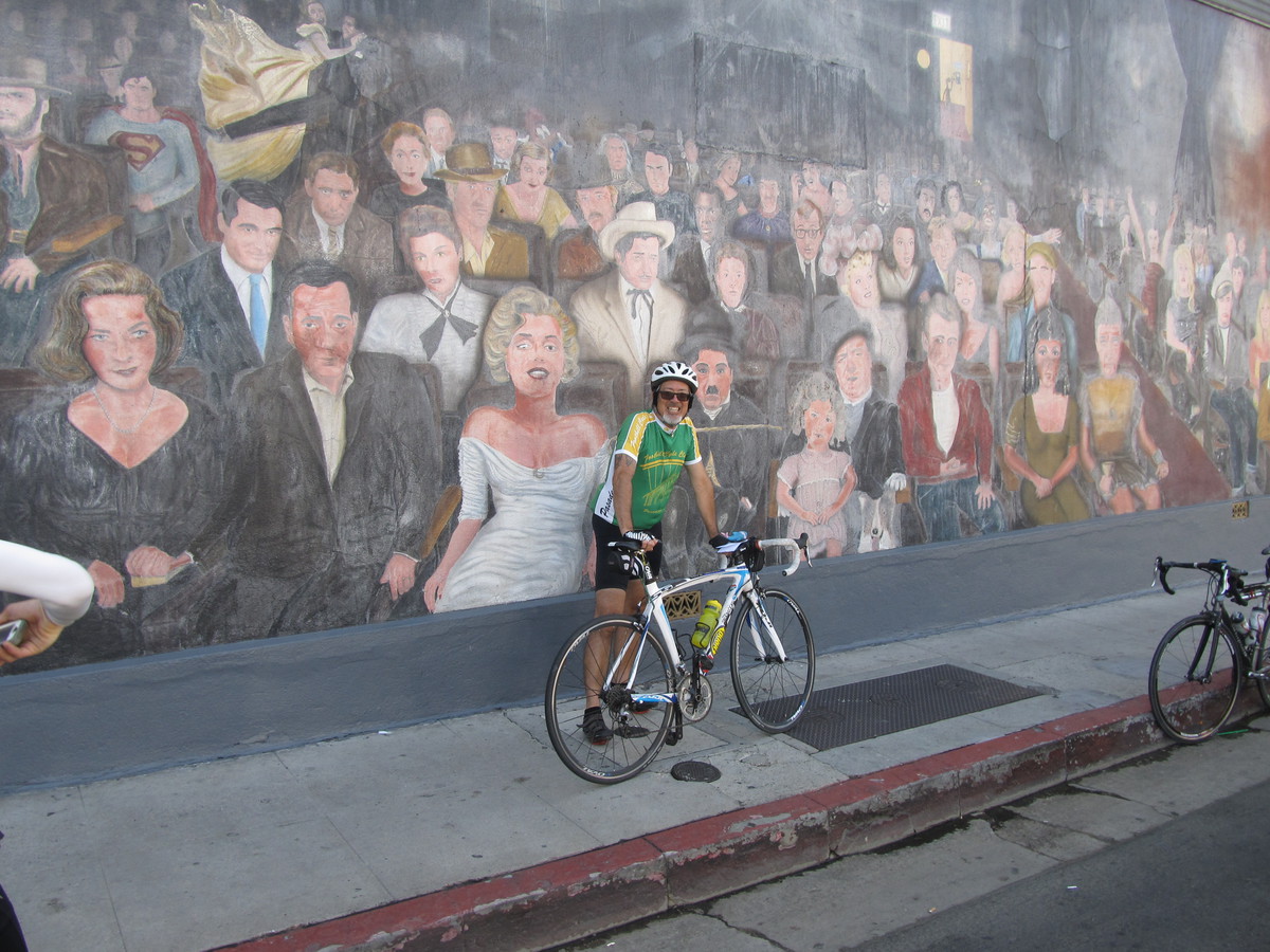
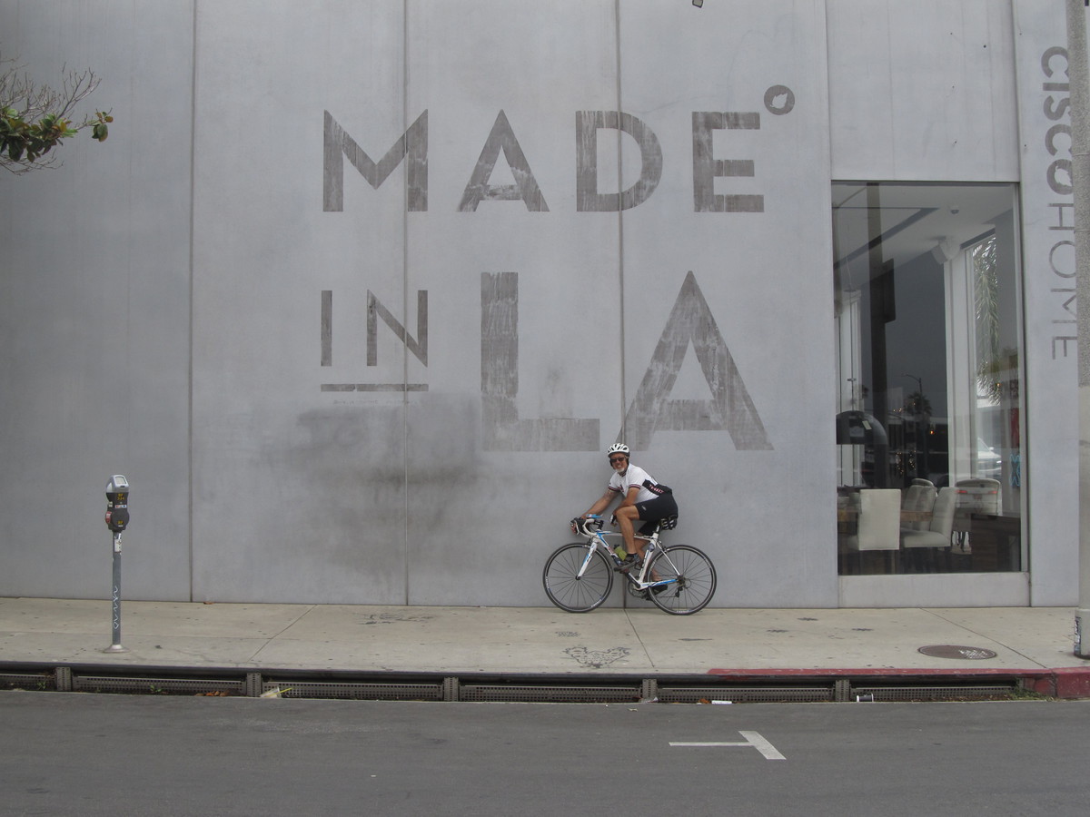
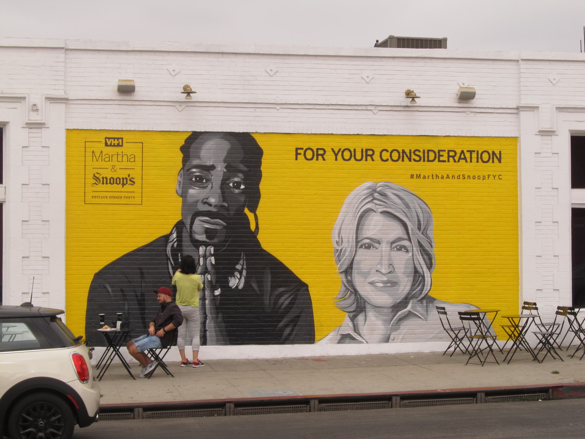
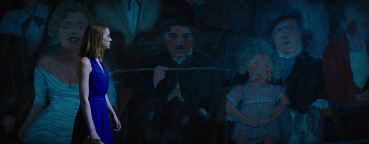
Next, we rode down through Silver Lake to find our way into Hollywood. The stop was at the “You Are the Star” mural painted on the side of a building at the corner of Hollywood and Wilcox. This was shot as the exterior of the restaurant where Mia first saw Sebastian playing the piano.

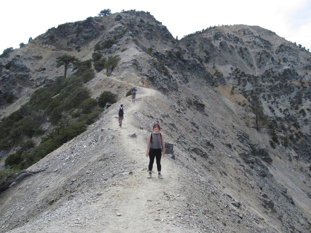
One novel thing about this route was that we went down a lot of streets we ride on fairly regularly, but in the opposite direction. So this time, we headed east on Hollywood Boulevard to get to Griffith Park. We turned up Western Ave, and then into the park at Fern Dell. That appeared briefly in the movie as part of the montage of Mia and Sebastian’s first dates. We were going to stop at The Trails Cafe in the park, but the line was too long.

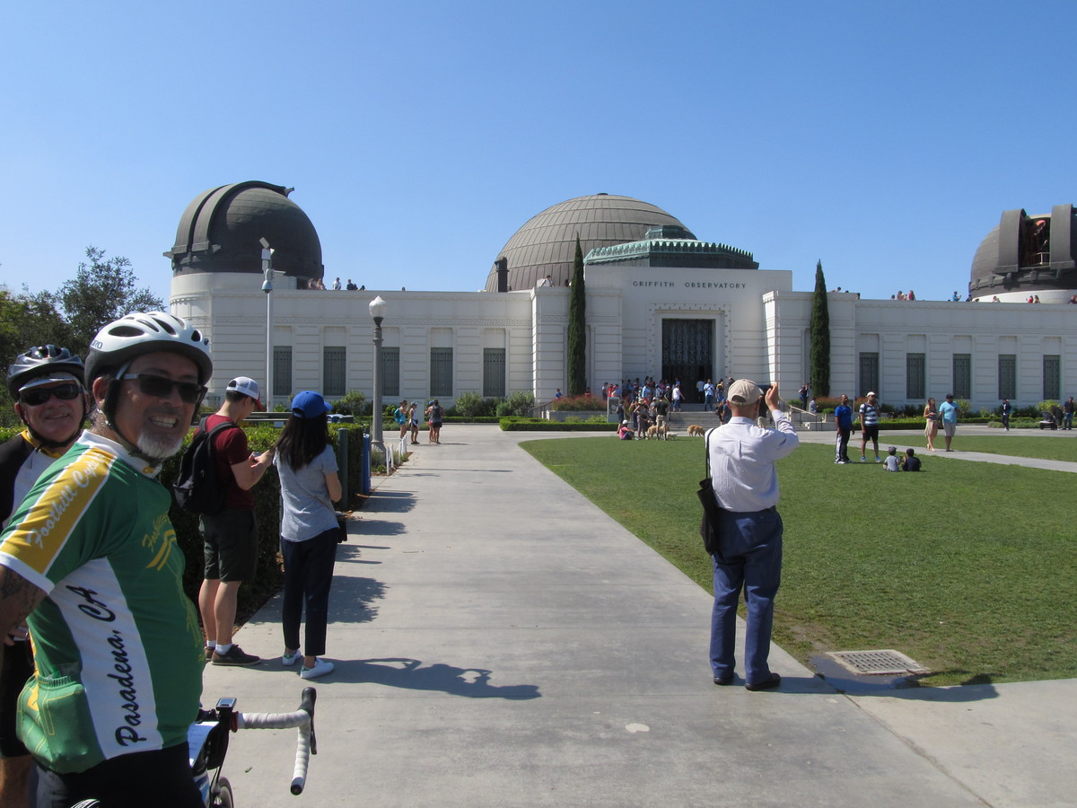
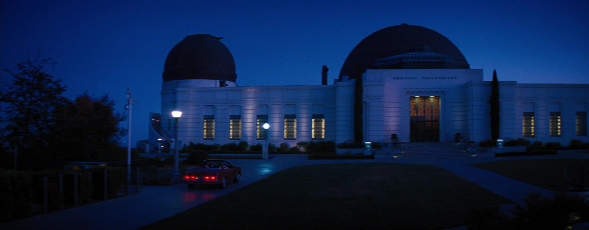
Continuing on up the hill, we ride up to the Observatory. This was where Mia and Sebastian went after the movie at the Rialto. The place was packed today.

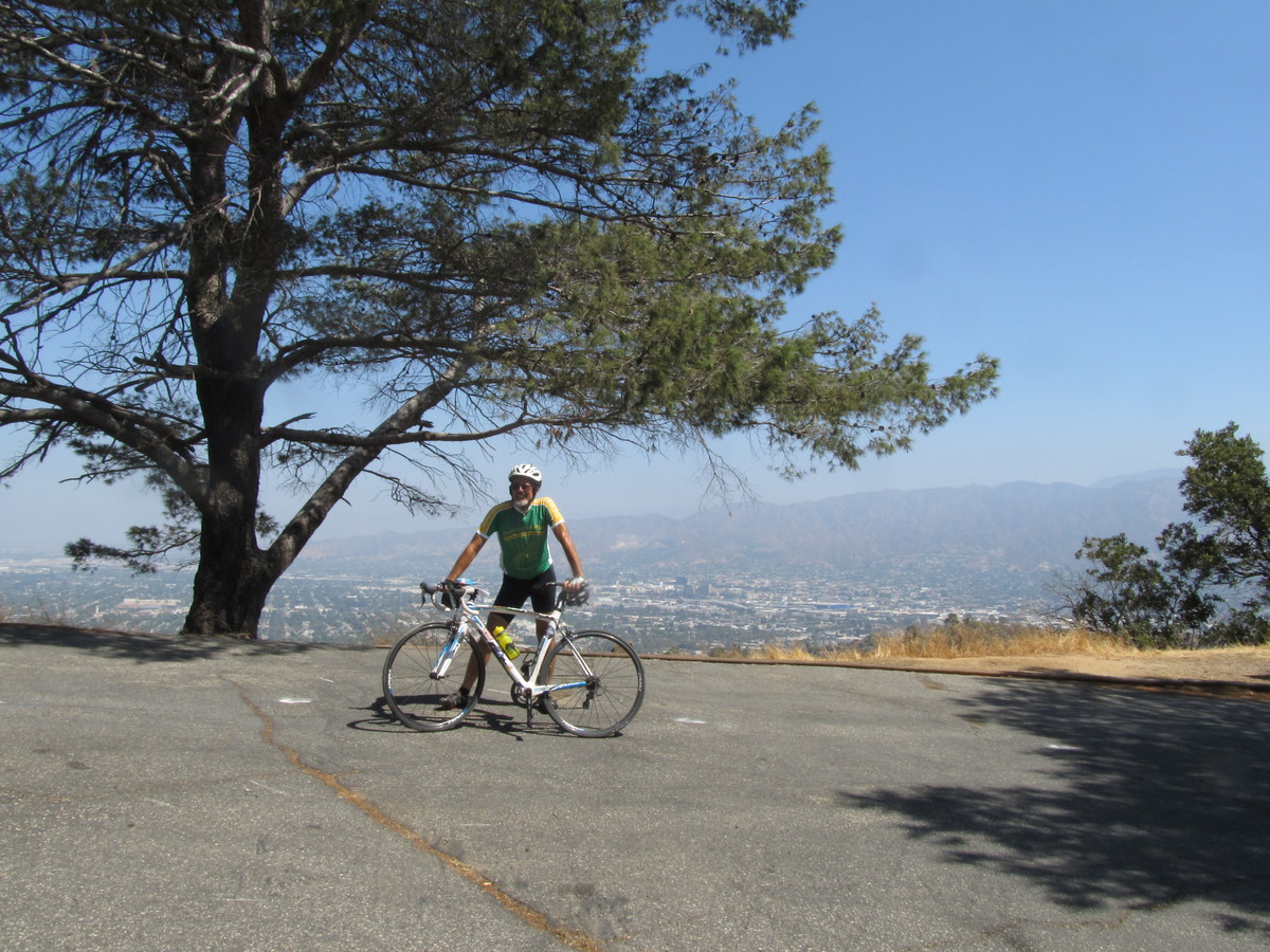
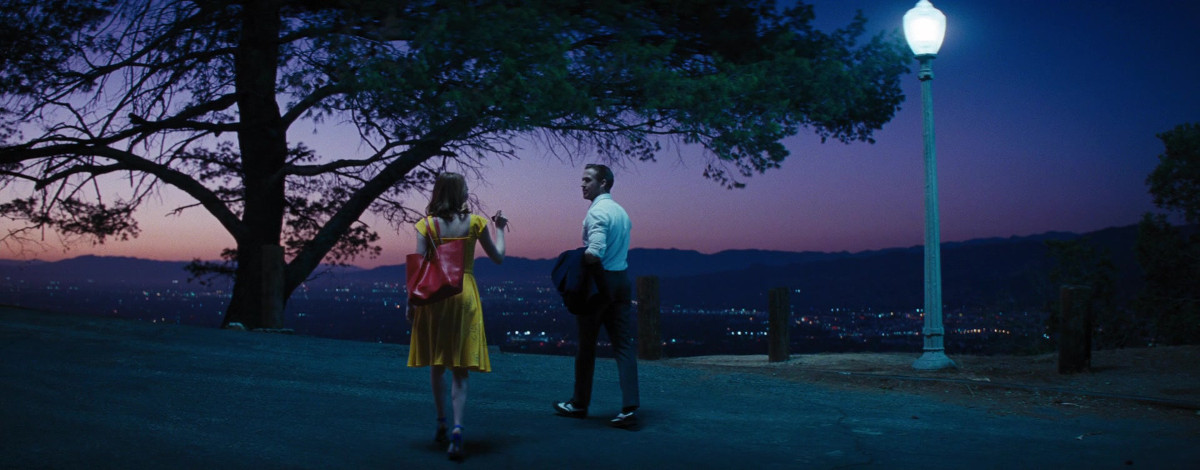
The next stop was just over the other side of Mt Hollywood Dr. We rode up to the top, and then started down the other side, stopping at Cathy’s Corner. This was the scene of the song-and-dance “A Lovely Night”. This scene is a bit over four minutes long, and was done as a single long shot. And it was filmed right at sunset to get the nice lighting. I read that they were able to get two takes during a single sunset. No word on how many days they were up there doing their two takes before they got the one they wanted.

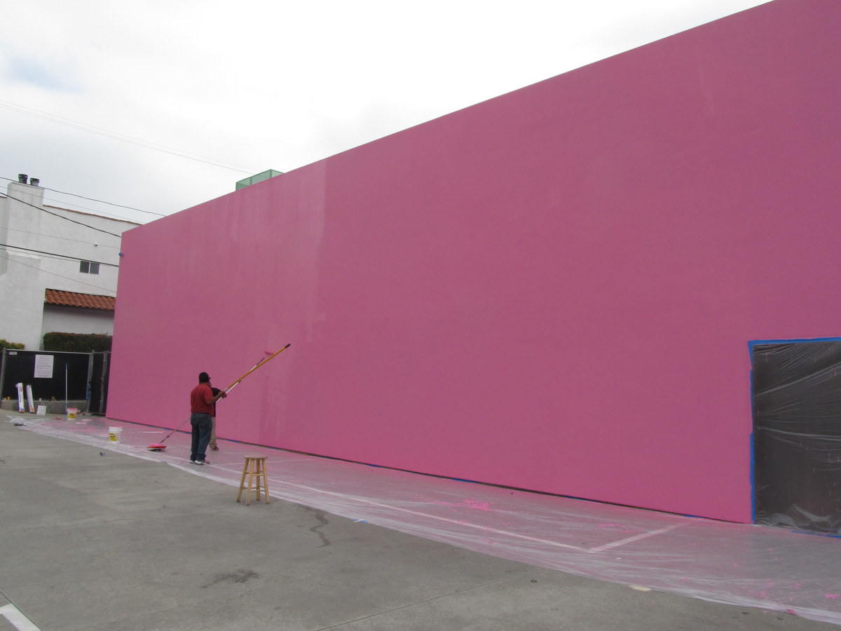
Heading on down the hill, we rode into Burbank, stopping briefly to see the Smoke House restaurant. That was used as the interior of the restaurant where Sebastian was grudgingly playing Christmas songs.

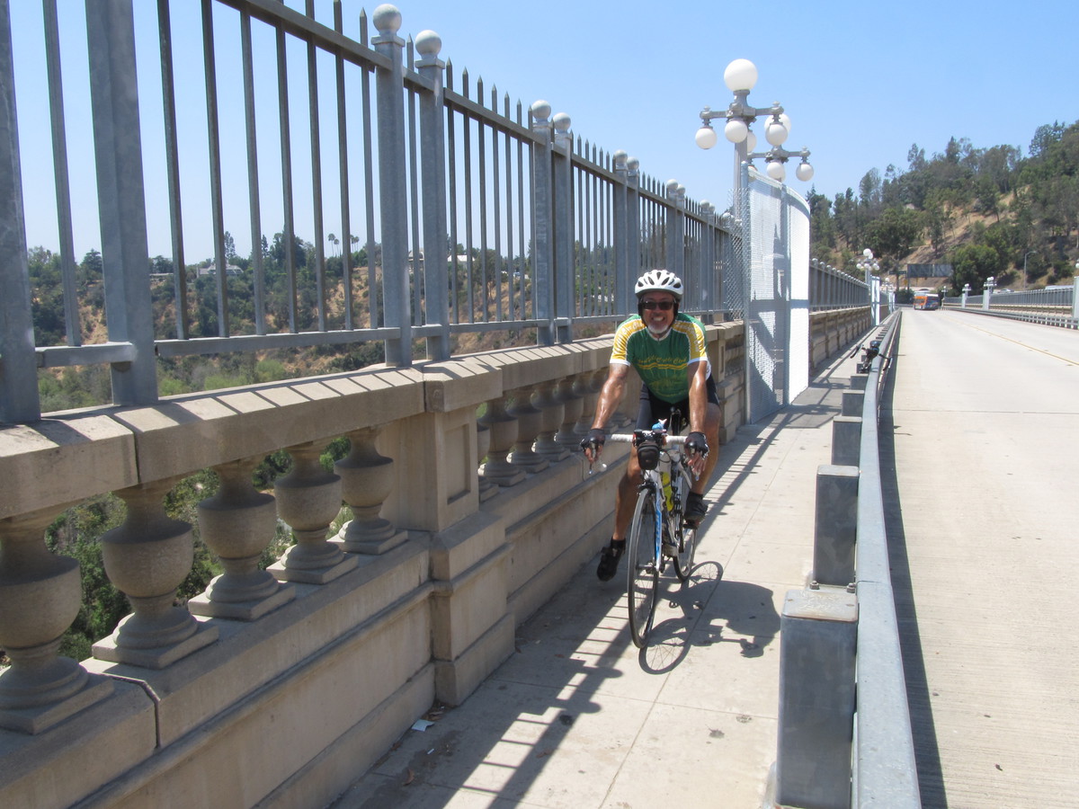
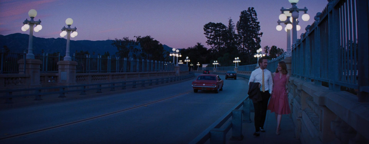
We stopped at Priscilla’s in Burbank to get drinks and snacks. Then we headed for home, straight across Glendale and Eagle Rock, and then up the Colorado hill. At the top, we rode across the Colorado Bridge, which also appeared briefly in Mia and Sebastian’s first dates montage.

48 miles.

Route map and elevation profile

7/16/2017

Bubble soccer with the Derby Dolls

Filed under: — stan @ 1:04 pm

It’s been a while since we’ve been to see the Derby Dolls, but I’m still on their mailing list. So when I saw that they were doing a fundraiser this Sunday where they would be playing Bubble Soccer, I thought this would be a fun thing to go see on the bike club ride.

The park where they were playing is not really very far away, so we took a roundabout route to get there, going down to Atwater Village, over the L.A. River, and then up the river bike path and making a big loop through Studio City and North Hollywood. We stopped for drinks at Groundwork Coffee at the old Pacific Electric depot in North Hollywood. Then we rode back across Burbank and into Glendale to the park where they were doing the bubble soccer.

When we got there, there were two matches in progress, although the proceedings bore only a passing resemblance to soccer as we know it. But there was lots of running around and colliding and general hilarity. Besides, roller derby players are no strangers to colliding with each other. When the matches finished, one of the Dolls asked if I wanted to try on one of the bubbles to see what it was like. She helped me in to it, and then promptly body-slammed me so that I went rolling across the grass. And yes, it was pretty hilarious.

45 miles.

Route map and elevation profile

7/9/2017

Lawnchair Larry

Filed under: — stan @ 1:59 pm

Last Sunday was the 35th anniversary of the flight of “Lawnchair Larry“. So today’s bike ride was to pay him a visit at Forest Lawn Hollywood Hills.

It was promising to be hot today, so I’d worked out a route that was about as flat as it could be. We rode out by the basic route across Eagle Rock and Glendale. Then we crossed the river to Griffith Park and headed out to Forest Lawn.

The listing in Findagrave.com said he’s in the “Columbarium of Valor”, which I wasn’t sure of the location. When we got there, there was nobody in the little information booth at the entrance, so took a chance and headed up to the top, where the Court of Valor is, with the idea that it might be nearby. But when we got there, there was nothing like that there. So we rode back to the entrance and I went into the main office to ask. The people there were very nice, and they gave me a map and detailed instructions to find the place. It turned out to be in the same general structure as where Carrie Fisher is buried.

Leaving Forest Lawn, we headed over to Priscilla’s. The original plan was to go to the gelato place in Studio City, but it was getting hot enough that we wanted to head back sooner. We had some cold drinks at Priscilla’s, and we even got some extra ice to put in our water bottles. Then we headed back by way of the L.A. River bike path. We had a couple of new riders along today, and one was suffering in the heat, so we stopped at Spoke to get some ice water. After that, we continued a bit more, but they wanted to bail out. I was still pretty sore from climbing Mt Baldy yesterday, so we all bailed out and rode Metro home from the Lincoln/Cypress station.

35 miles, including the two miles home from the Allen Metro station.

Route map and elevation profile

7/8/2017

Mt Baldy, 2017

Filed under: — stan @ 8:06 pm

I’ve been trying to get Lucinda to go and hike Mt. Baldy with me for a while. And since she’s off to college in the fall, today seemed like a good day to do it. The plan was to start at Manker Flat and take the Bowl trail up, and then come down by way of the Devil’s Backbone and the Baldy ski area service road.

It was going to be very hot down in the valleys today, but it was pleasantly cool at 6,100 feet at Manker Flat. We hiked the first 2 1/2 or so miles to the ski hut, and we took a break there. Then the trail went across the bowl, and then up the steep side of the ridge. We rested a bit at the top of the ridge, and then started up the last 1,000 or so vertical feet to the summit. At that point, we weren’t going very fast. But we were still moving. I kept an eye on the GPS to see when we were close to the summit. When we got there, we took the obligatory picture with the plaque, and then we sat down and had lunch.

After resting a bit and looking at the view, we started back down the ridge. I made a point of taking a picture of Lulu on the knife-edge ridge part of the trail.

We finally made it down to the ski lodge, where we got some ice and cold drinks. We briefly considered taking the chairlift back down, but in the end, we both wanted to actually do the entire hike. So we started down the service road. The road isn’t very steep, so we were able to make good time there, and it only took a little more than an hour to do the 3 1/2 miles back to where we started. It was a long and tiring day, but it was fun. And it was a nice treat to spend the day with Lucinda.

Route map and elevation profile

7/2/2017

“Instagrammed to death”

Filed under: — stan @ 4:01 pm

This week, I ran across an article in the LA Weekly, “10 L.A. Spots That Have Been Instagrammed to Death”. We’ve been to see a lot of them before, but there were two on the list that I’d never seen before. So that was today’s ride.

The route for today was very similar to the one we used for the “Where the streets have no name” ride in May. I just trimmed a few miles off the first part of it, since we were going to be adding a few extra to go out to West Hollywood.

When we were heading in to Hollywood on Hollywood Blvd, I saw a storefront that proclaimed that it was in “EaHo”, or East Hollywood, just as places in West Hollywood refer to it as “WeHo”. I thought that was funny. Back in the ’80s when I lived in Hollywood, the east end was just known as “Scary Hollywood”. Times change.

There was an odd bit in the middle where it looked like there had been a mudslide. There was brown mud all over Hollywood Blvd. That was very strange.

At Highland, we took a side trip up onto the sidewalk to go find Donald Trump’s star on the Walk of Fame. We saw some tourists taking selfies of them making rude gestures at it. But it didn’t look like it had been defaced recently.

The first Instagram stop was the “Made in LA” mural on the wall at Cisco Home at the corner of Melrose and Laurel. And true to form, there was a mother and daughter taking pictures there. They said they were from Denmark, so they definitely counted as tourists.

Heading a few blocks west on Melrose, we got to the #pinkwall at Paul Smith. And sure enough, there were more tourists taking pictures there. And there was even a crew putting on a fresh coat of pink paint to freshen it up. And across the street there was a wall painted to promote “Martha and Snoop’s Potluck Dinner Party”. I had no idea that that was even A Thing.

Our snack stop was in Larchmonth Village. Noah’s Bagels, or Mr Holmes Bakeshop, which opened recently, and we visited a few weeks ago. From there, we headed for home, by was of downtown L.A. That was an opportunity to make one more Instagram stop at Bottega Louie to get a picture of some of the famed macarons. I also stopped for a picture of Dearden’s, which I recently read is closing after over 100 years in business.

Overall, it was a pretty nice ride, and we got to see some things we’d never been to see before.

45 miles.

Route map and elevation profile

Powered by WordPress