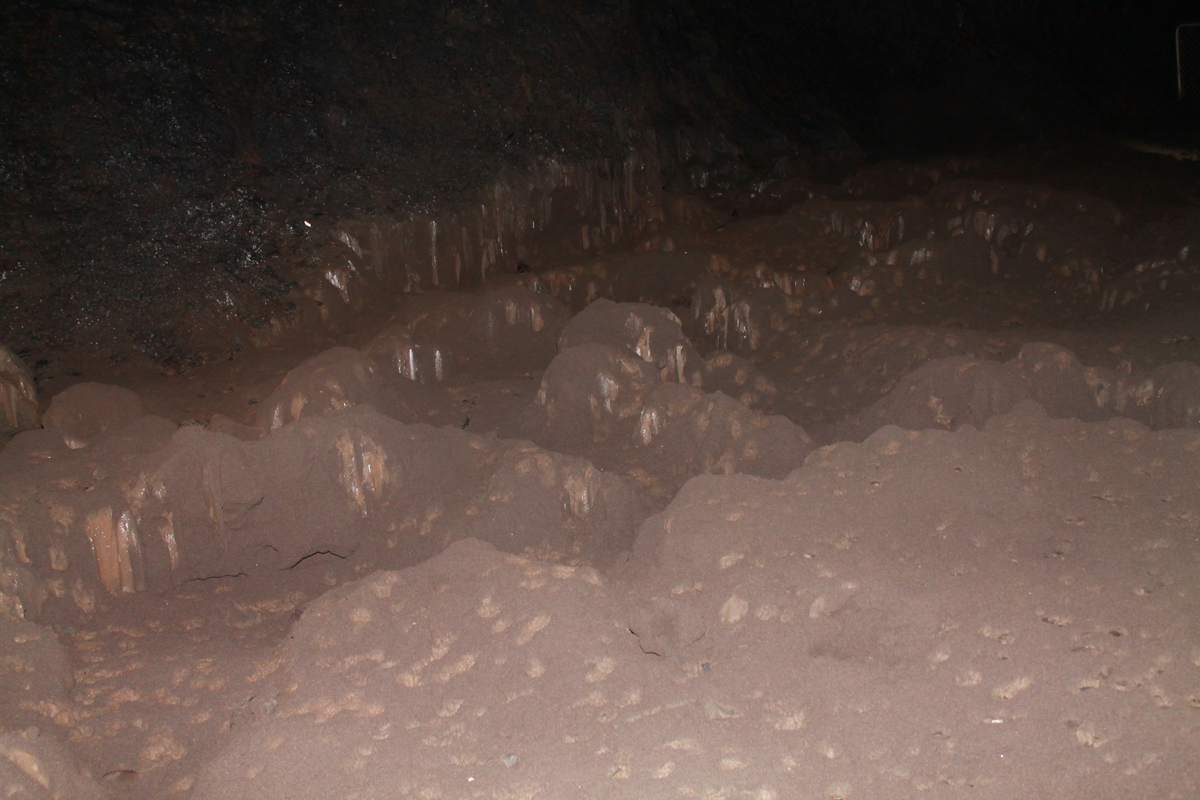
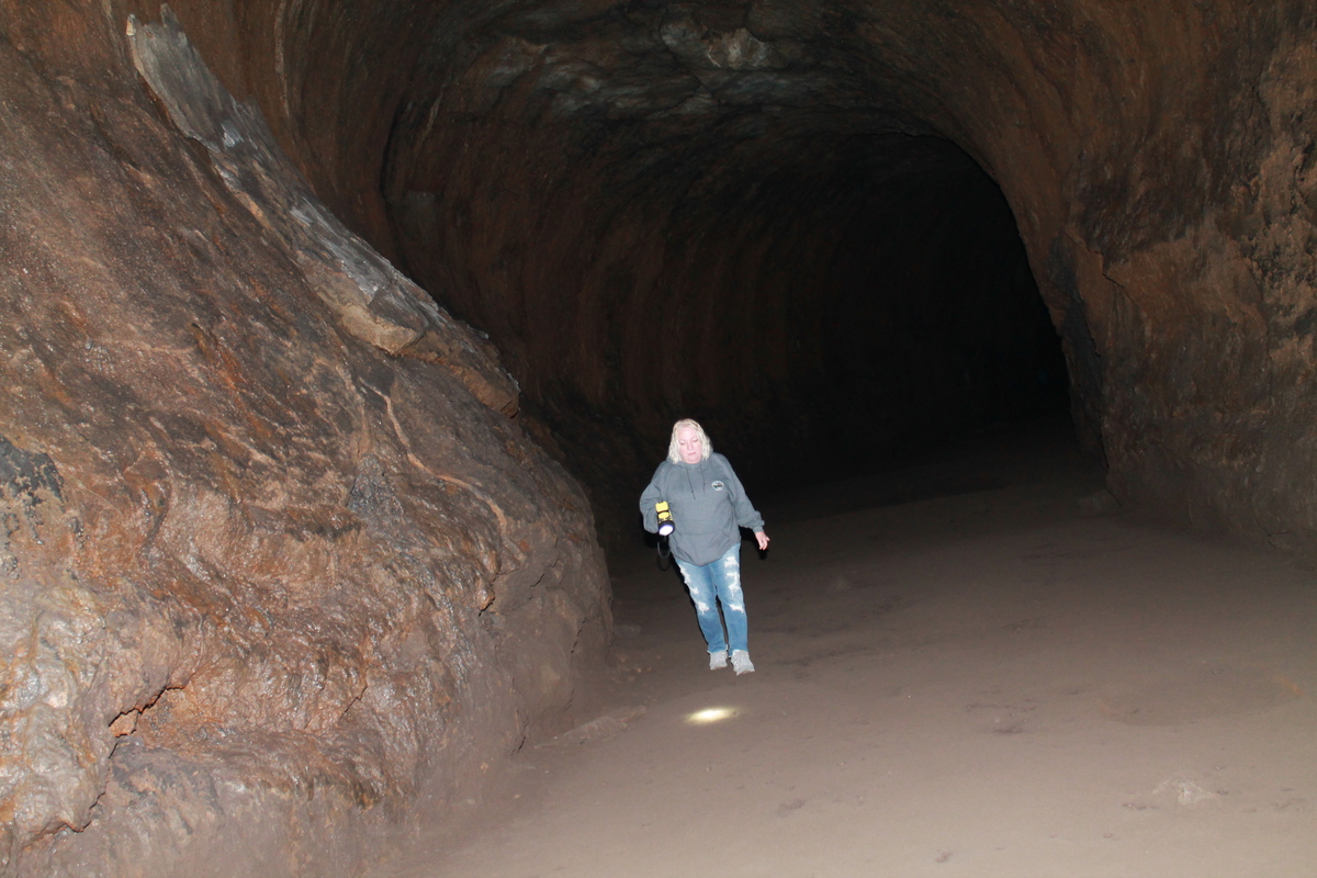
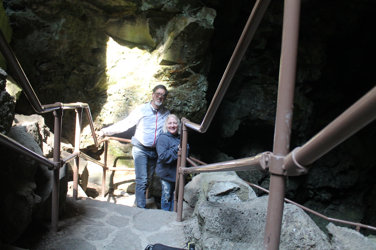
Stan’s Obligatory Blog

8/21/2017

The Main Event

Filed under: — stan @ 8:03 pm

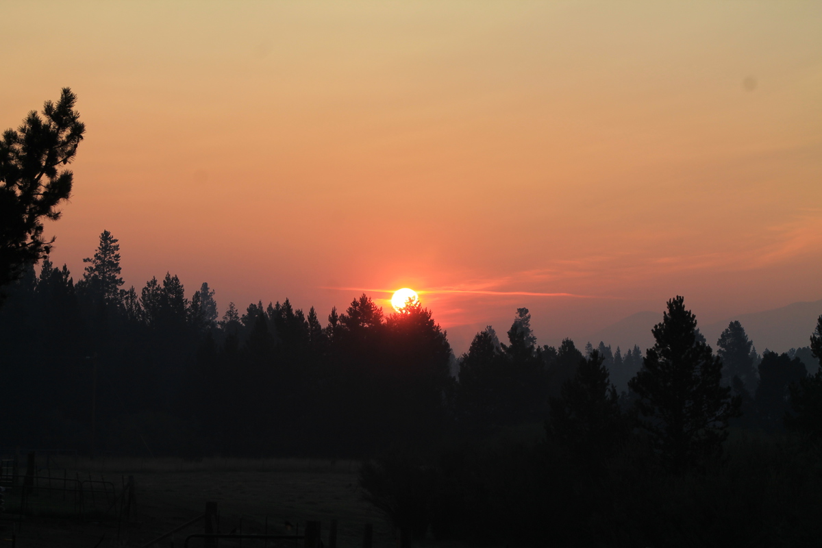
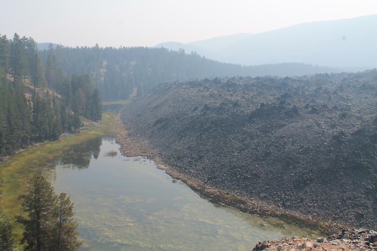
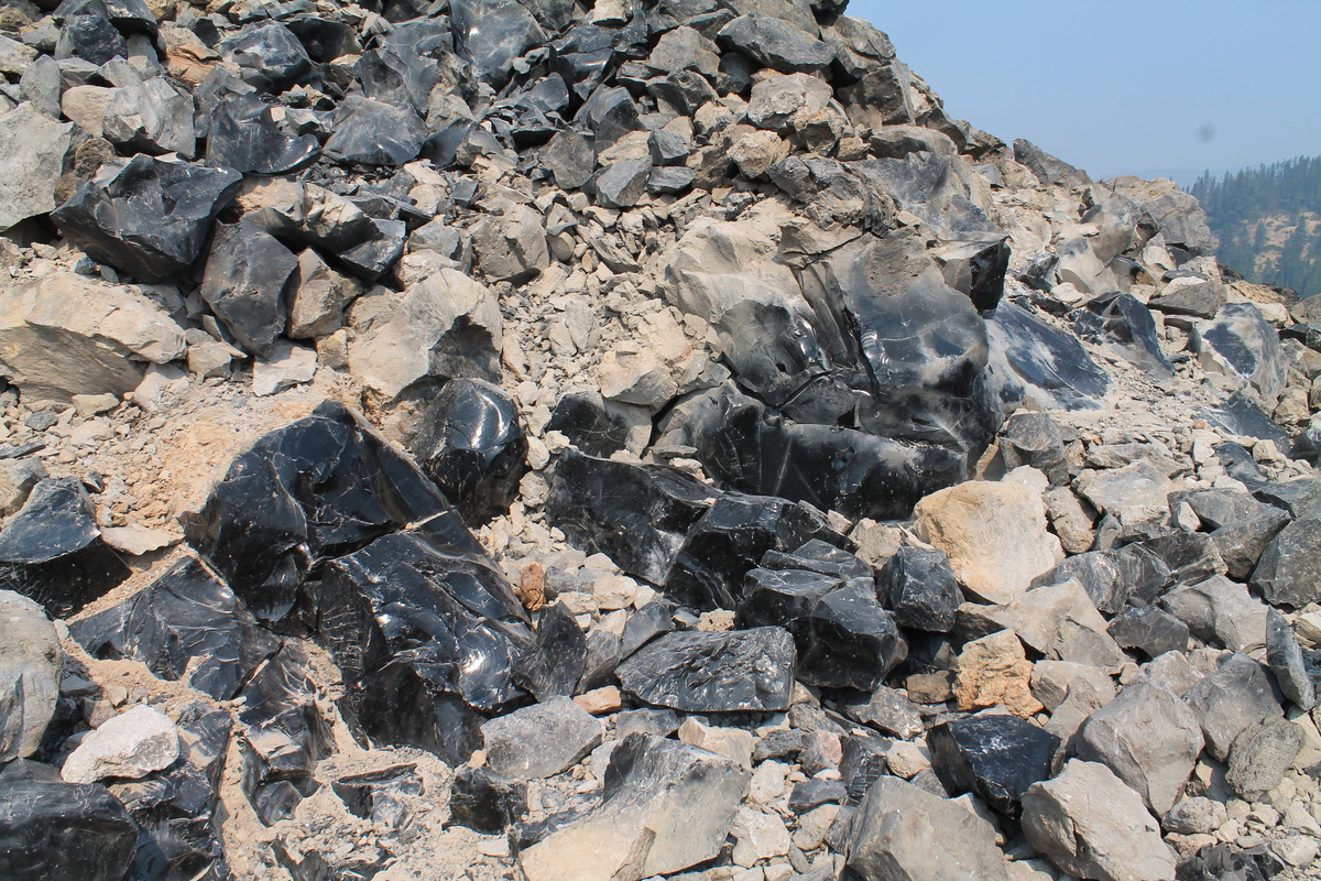
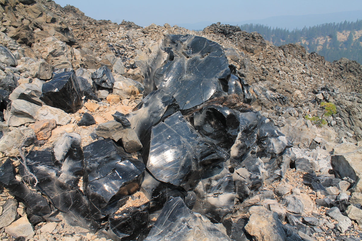
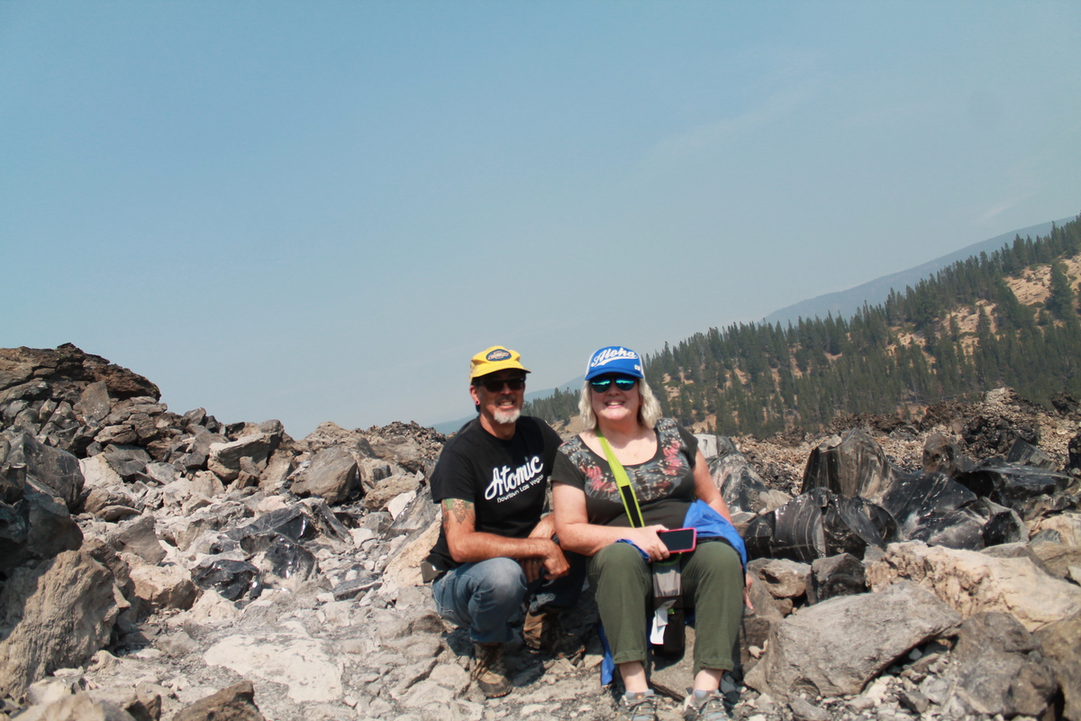
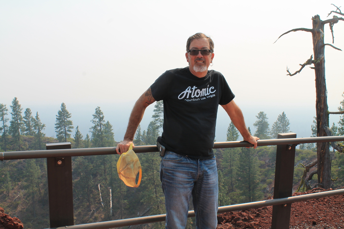
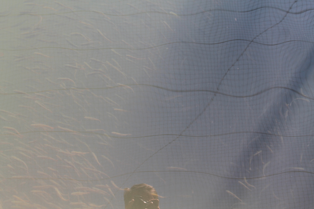
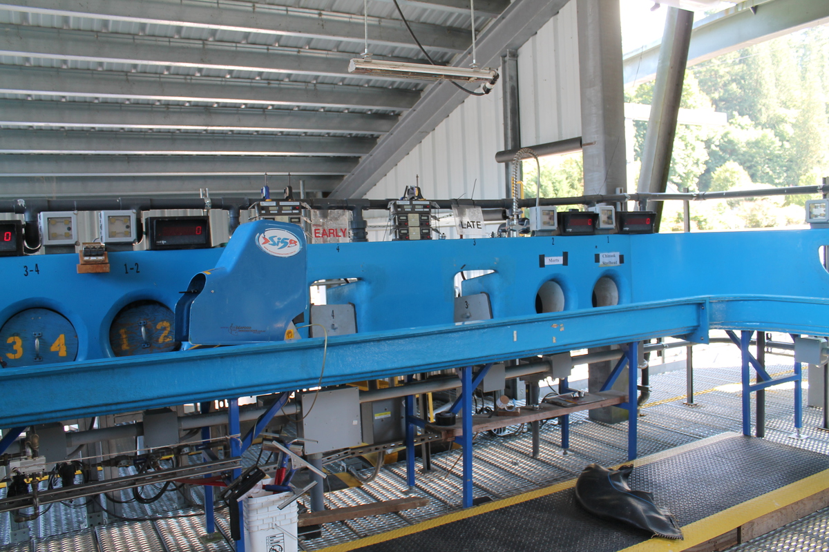
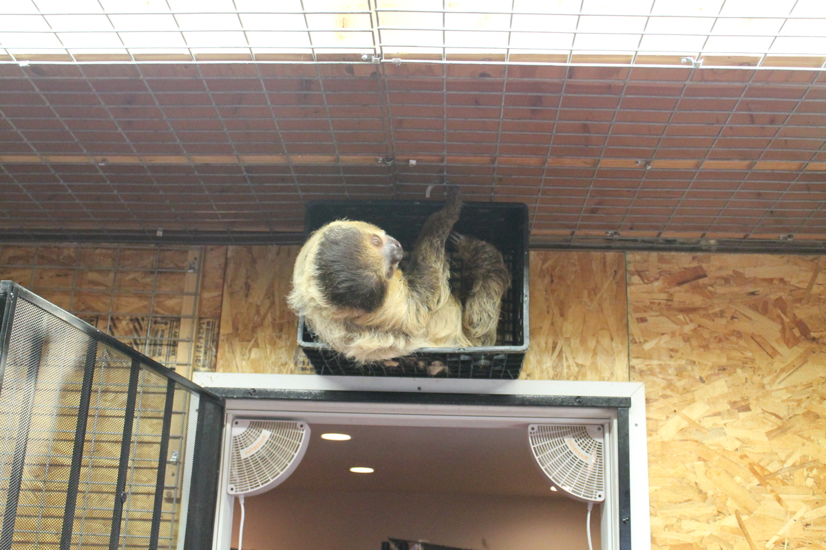
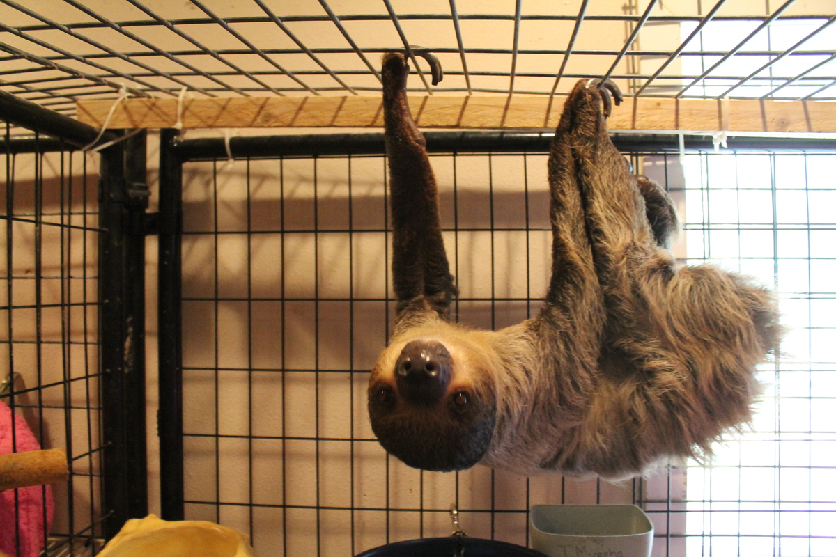
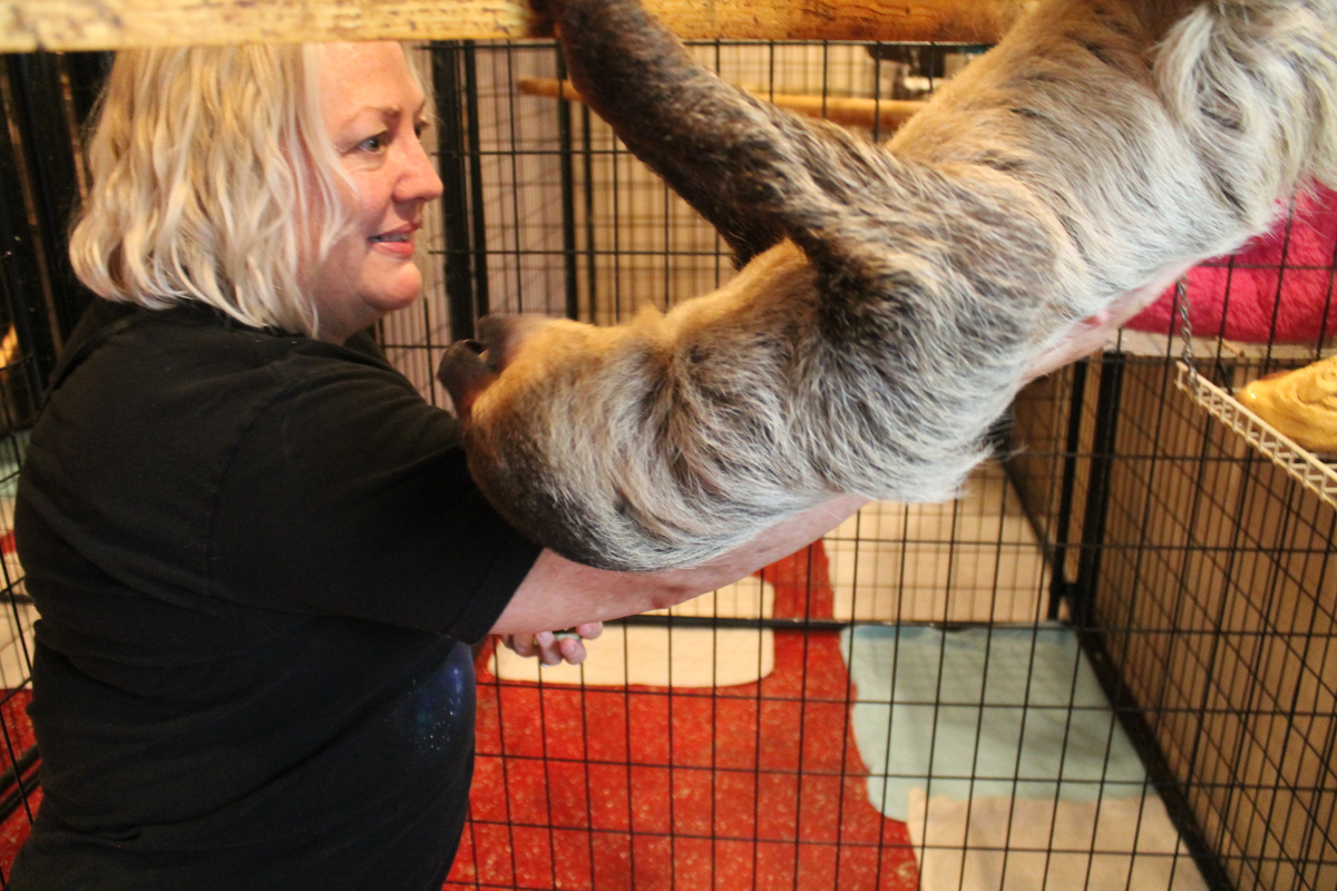
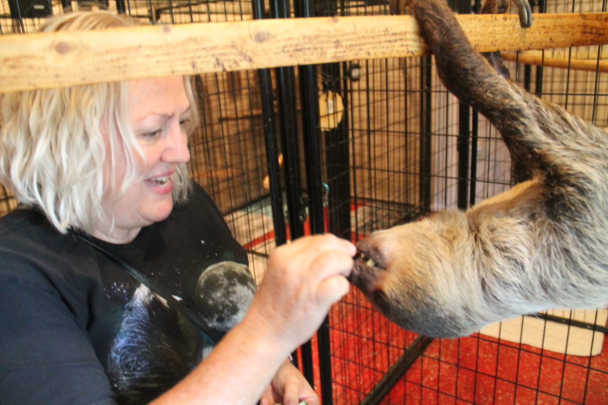
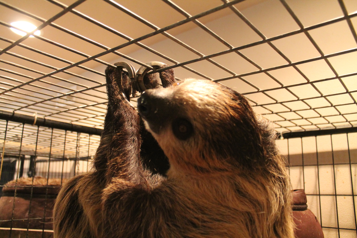
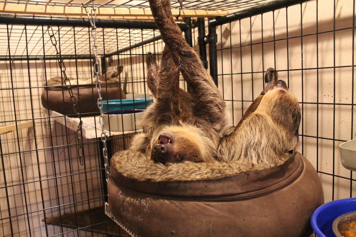
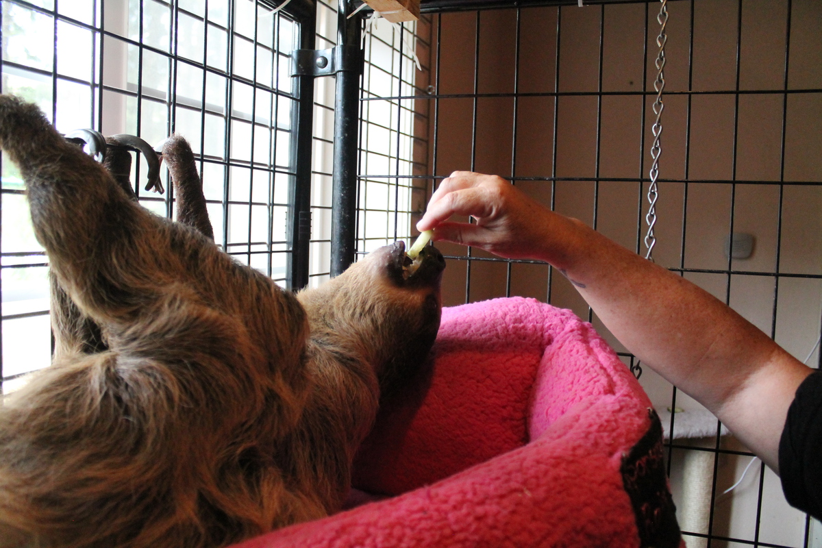
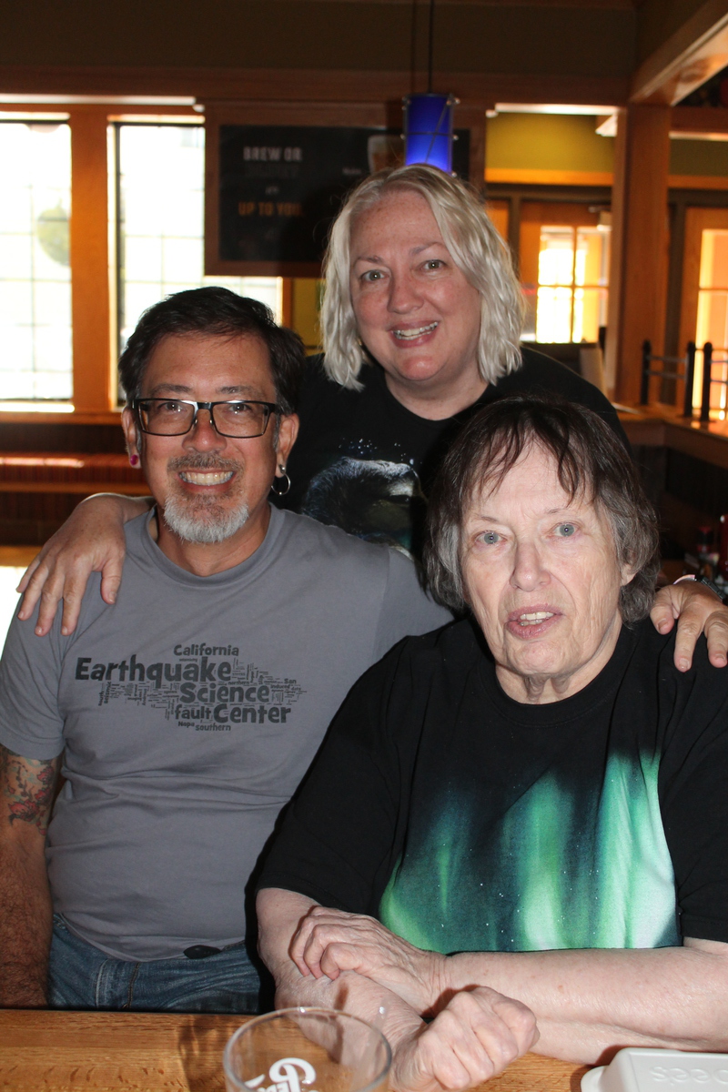
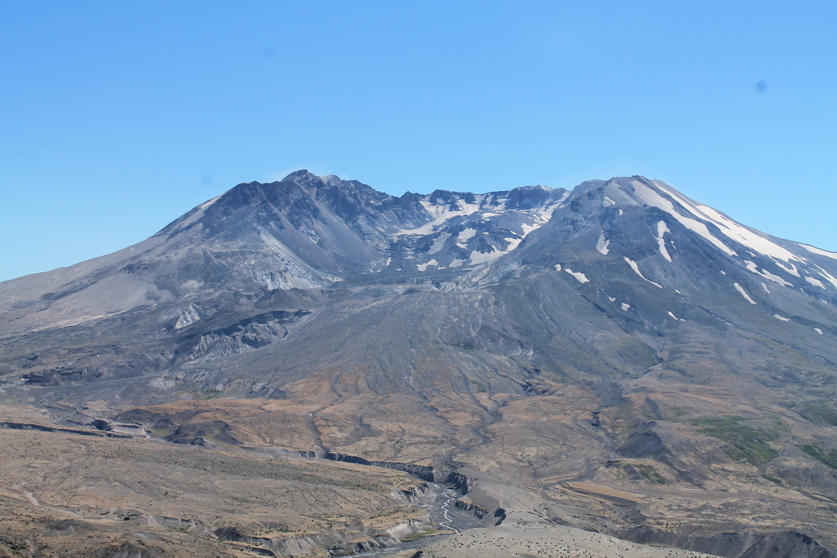
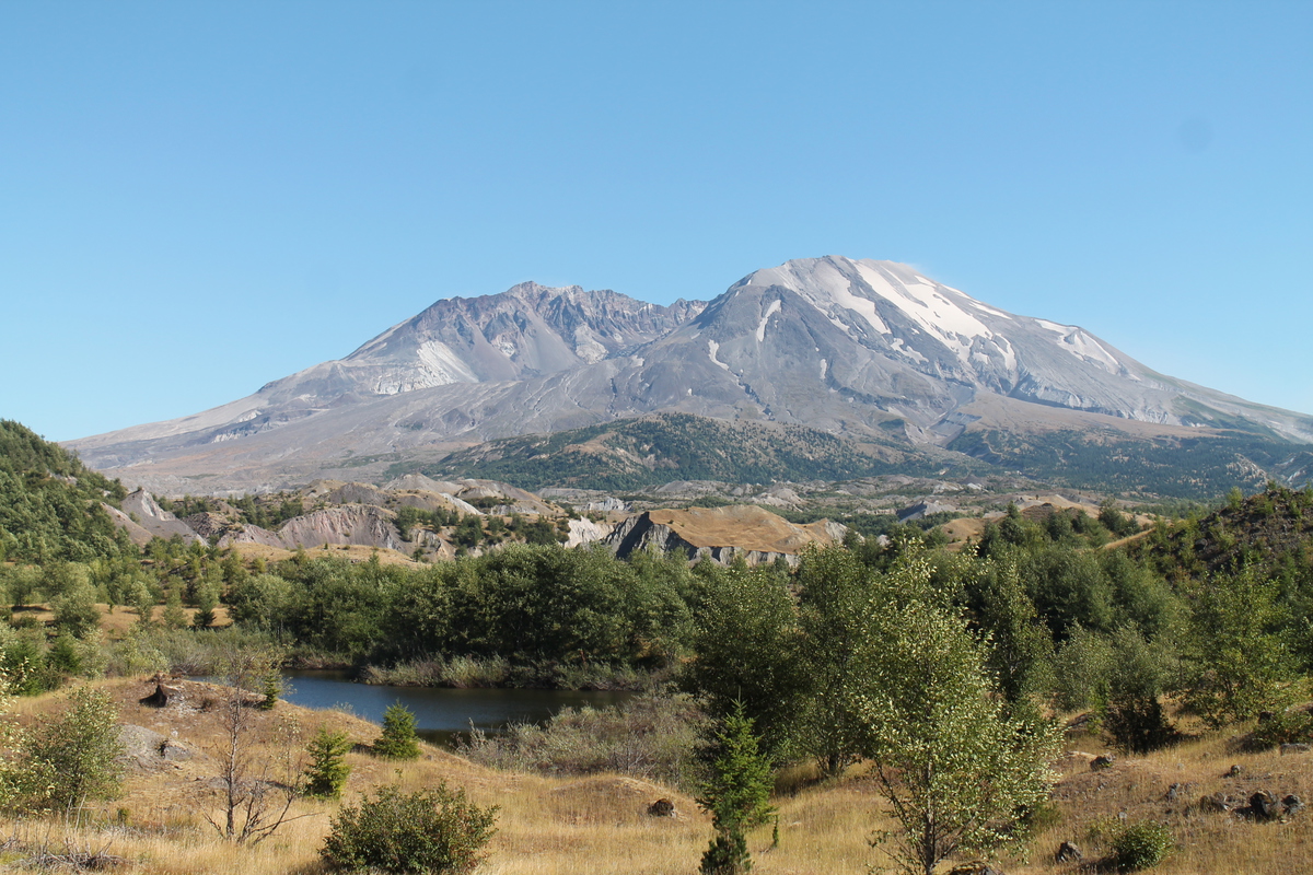
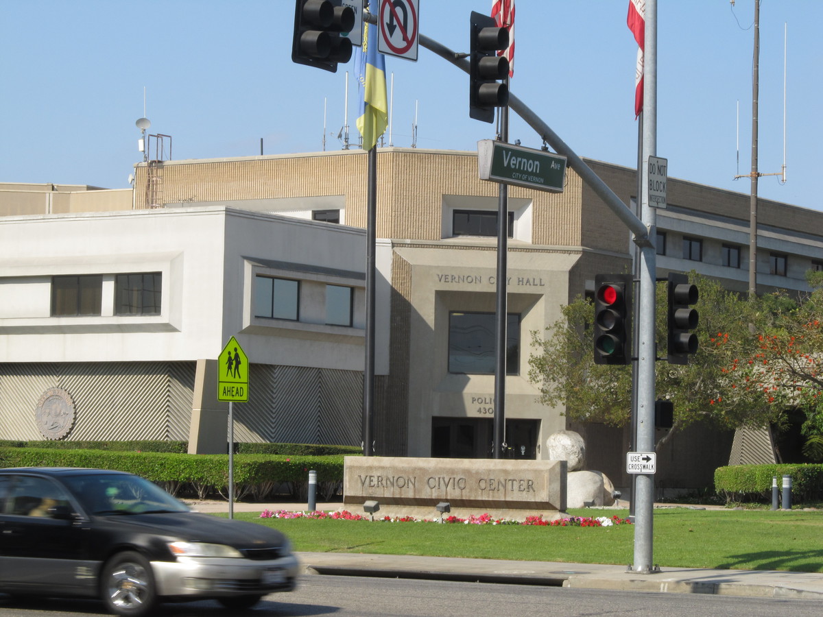
So, after two volcanoes, some sloths, thousands of tiny salmon, and dinner with Aunt Karen, it was finally time for the real reason for the whole trip. The total eclipse, and we had good front-row seats in the back yard of Kathleen’s brother Johnny’s house in Salem, Oregon.

We got stupendously lucky with the weather. It was a perfect, clear blue sky when we woke up. I set up my telescope with the camera on a little portable workbench on the back patio. With the clock drive going, the telescope tracked the sun as it rose.

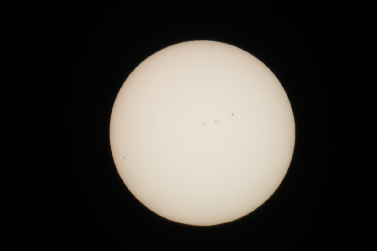
I snapped a few pictures of the sun through the solar filter just to see what it looked like, and to get the camera settings right. I’d used the filter before for the transit of Venus, and also a partial eclipse in 2012. But since I’d never seen a total eclipse before, I knew that I’d be guessing about the settings when that time came.

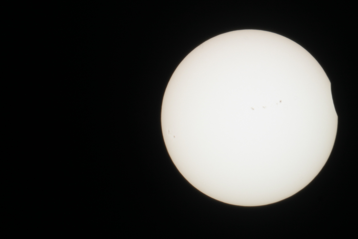
First contact was about 9:00AM or so, and it looked just like every other partial eclipse I’ve seen over the years. We just watched as the Moon slowly marched across the face of the Sun. It wasn’t until it was probably 90% covered that we could really notice that the light was getting dim, and right at the end, it got cold, too. But then, when the actual moment of totality came, it was like a switch was flipped, and I suddenly realized just why people travel all over the world to chase eclipses. It was really quite spectacular.

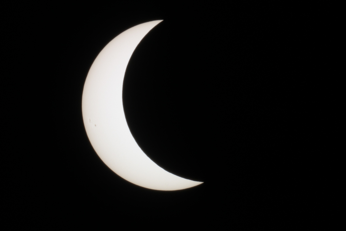
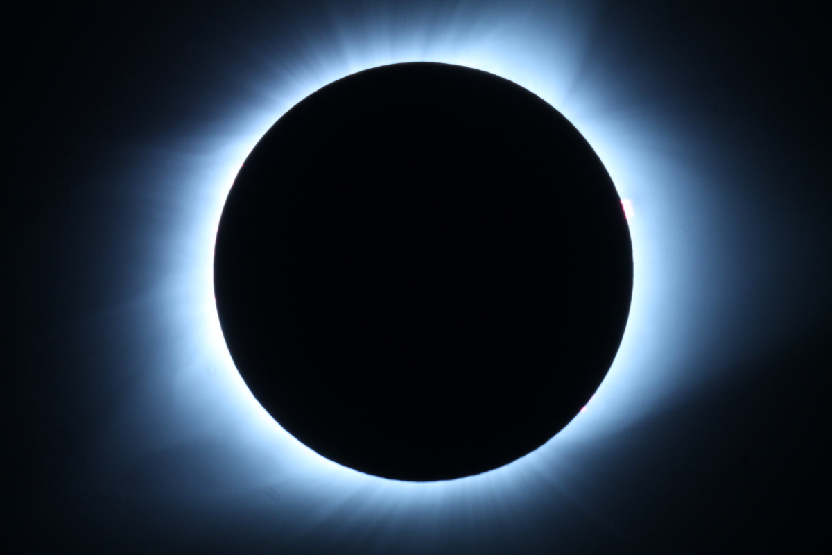
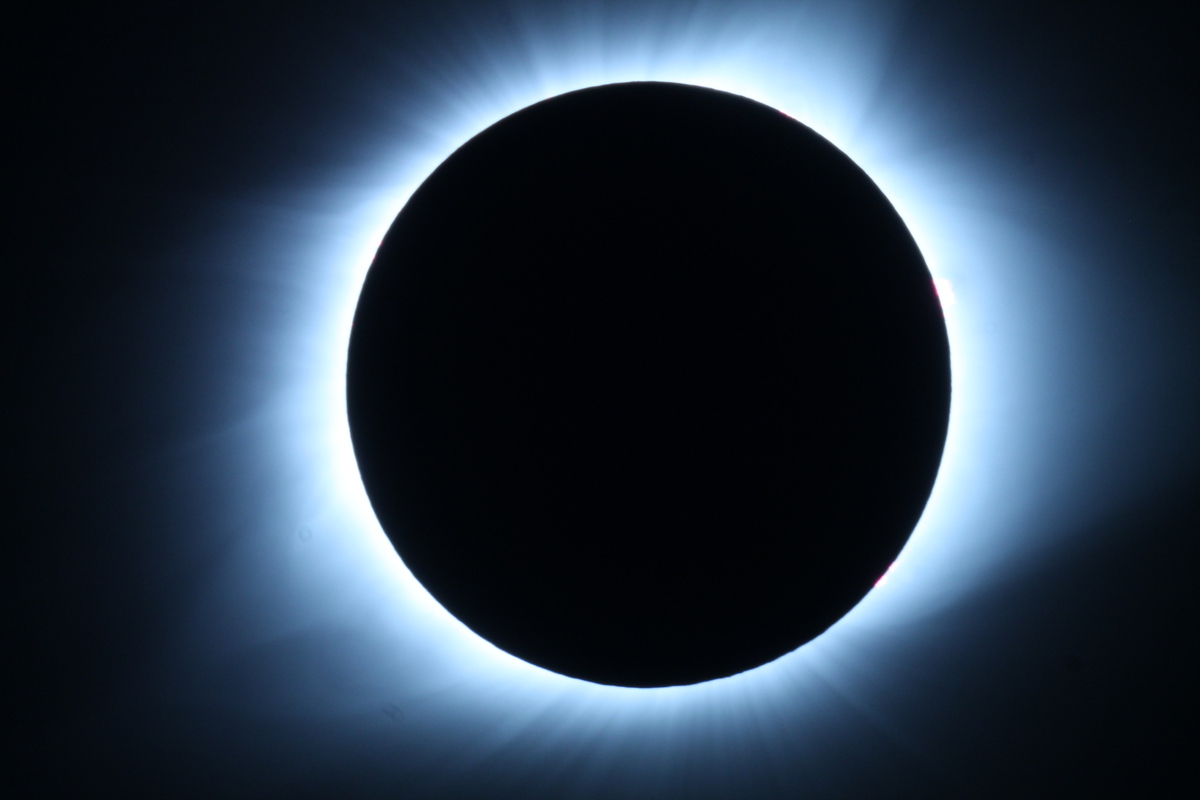
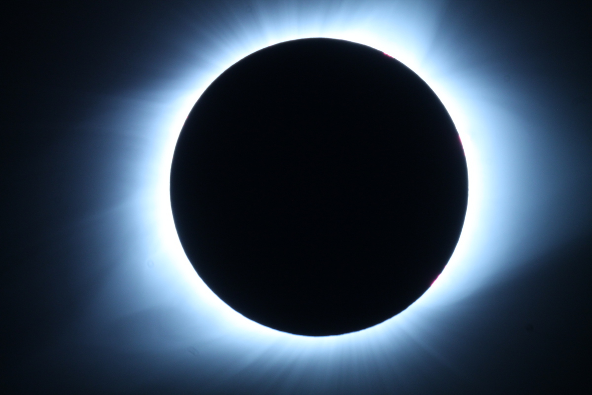
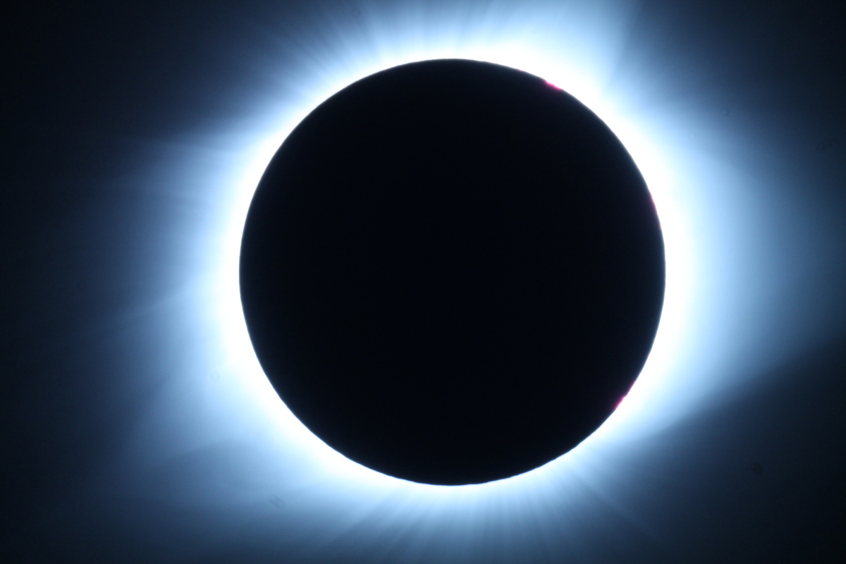
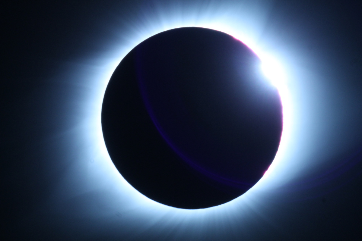
I pulled the filter off the telescope, and took some photos. I’d set the camera for ISO 800, and started with a guess of about 1/60 second exposure. Then I increased the exposure on each shot, just to see what it would look like. Because I’d forgotten the remote shutter-release thingy at home, I had to set the camera on a 2-second timer. That way, for each picture, I’d press the button by hand, and then the telescope and camera had two seconds to stop wiggling before the shutter tripped. For a last-minute workaround, it worked reasonably well. And besides, the enforced wait between pictures gave me some time to just look up a the sky, slack-jawed at the sight of the solar corona.

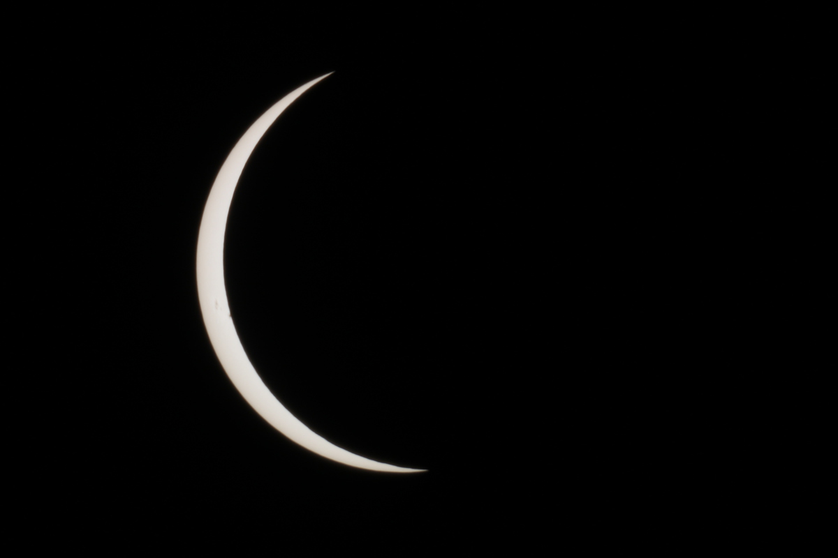
As the Sun started to reappear, I snapped a couple more pictures, and by sheer luck, I got a reasonably good picture of the ‘Diamond ring’ effect right at the end of totality. All told, it was a good time, and was easily the thing that made the whole trip worthwhile.


8/20/2017

Lava River Cave

Filed under: — stan @ 5:25 pm

Today was our last day at Newberry Volcano, and we got up early to go and see Lava River Cave before it was time to head back to Salem for the eclipse.

The cave opens at 9, and we got there a bit before that, just so we could be in the first group to go tour the cave. The rangers gave a short talk about cave safety, and then we picked up our rental lights and headed down to the entrance. Even though it’s August, the inside of the cave was an even 42 degrees, so it was actually pretty chilly.

The cave itself was pretty big. Most of it was just easy walking. There were just a few places where the roof was low, and we had to stoop a bit. The floor of the cave was covered in sand. The rangers said that the sand was actually ash from the eruption of Mt Mazama, about 7,000 years ago. That eruption left a thick layer of ash over the whole of what is now central Oregon, and the ash was washed down into the cave by rain over the years.

The walk through the cave was about a mile to get to the end. The cave went on, but the ceiling was very low, and the sign said to turn around and go back. So that was our little cave adventure, and now it was time to head back to Salem to see the eclipse.

8/19/2017

Newberry Caldera and Lava Butte

Filed under: — stan @ 8:52 pm

Today was our day to play tourist in the caldera at Newberry Volcano. We were staying in a little bed-and-breakfast place, and while we were having our breakfast, we saw couple of bucks wandering by. Then we headed over to the volcano. The first stop was at Paulina Falls. This is the western edge of the caldera, and it’s where water from Paulina Lake drains out of the crater. From there, we went to the visitor center. They had a stack of the USGS fact sheets about the volcano. I told the guys there that it was that fact sheet that got me interested to come there and see it.

Our next stop was the Big Obsidian Flow. This is one of the newest lava flows, at only about 1,300 years old. Apparently, obsidian was an ideal material for making arrowheads and other cutting tools in the ancient world. And it’s usually hard to come by. But this lava flow had lots of it. So the people who lived around here were able to collect it and trade it for other things. The signs along the trail said that arrowheads made from Newberry obsidian are found all over the western U.S.

After the obsidian trail, we went to the East Lake Resort for lunch. We also walked along the shore of the lake a bit, looking for hot springs. Apparently, the two lakes are both fed by hot springs that just sort of seep out of the lake shores.

The next stop was Lava River Cave. This is another lava tube cave. It’s open during the day, and the rangers there rent out lights to use in the cave. But when we got there, there were too many people already there, and we couldn’t get in. So instead, we went on the main visitor center at Lava Butte.

Lava Butte is a small cinder cone volcano. It formed in an eruption about 7,000 years ago. It’s also surrounded by a large lava flow that came out at around the same time. We took the short trail through the lower part of the lava flow. After that, we rode the shuttle bus up to the top of the cone. There, we walked the short trail that goes around the rim of the crater. By this time, the wind had shifted a bit, and the air wasn’t as smokey as this morning. Since we missed seeing the cave, we made plans to come back first thing in the morning to see it before heading back to Salem.


8/18/2017

Salmon and sloths

Filed under: — stan @ 9:30 pm

Today was an odd day. It was mostly traveling from Mt St Helens down to central Oregon to see Newberry Volcano. And along the way, we went to see a salmon hatchery on the Lewis River, also a sloth rescue, and we met up with my aunt Karen for dinner.

We started off at the salmon hatchery. One of the guys who worked there gave us a short tour of the facility. He said that the salmon would be returning starting in a couple weeks. At that point, the fish get diverted into the tanks there, and then they are sent into the sorting room. Wild fish are separated out and put in tanks to be taken up river in trucks. The hatchery fish are taken and ‘artificially spawned’ to create the next generation, and the fully-grown fish end up being given to food banks.

Our next stop was the sloth center in Ranier, Oregon. They took us on a short tour, and then we got to have a close-up meet-and-greet with some of the sloths. They gave us a little bowl of cucumber wedges to feed to the sloths. And they said that we could pet the sloths while they were (slowly) chewing on the cucumbers.

We had to pass through Portland, so we met up with my aunt Karen for dinner there. This was the first time I’d seen her since 1994.

The last part of the journey was up and over the mountains between Salem and Bend. We saw some nice lenticular clouds over Mt Jefferson there. After that, we descended down the eastern side of the mountains, and into a tremendous cloud of smoke from some big forest fires that were going on there. The city of Bend was completely enclosed by the smoke. We were going to be staying a bit south of there, right outside the Newberry National Volcanic Monument. I’d run across a USGS fact sheet about this volcano at my office, and it sounded like an interesting place.

8/17/2017

Visiting Mt St Helens

Filed under: — stan @ 8:51 pm

Our first destination on our trip was to go see Mt St Helens. As it turned out, we got there early enough on Wednesday afternoon to be able to go to the south side of the mountain and do a little sightseeing there. We went and saw Lava Canyon, the path of a big lahar from the 1980 eruption, and also the entrance to Ape Cave, which is a long lava tube cave. We didn’t have flashlights, so were weren’t able to go explore inside.

Lava Canyon was very pretty. It’s a steep canyon, so there were lots of waterfalls. We walked down one side of the canyon, and the crossed over on a suspension footbridge. Just like on Tom Sawyer Island at Disneyland. Except the bridge at Disneyland isn’t 100 feet above the water, and it doesn’t have a broken board right at the start to inspire confidence. This bridge kind of gave me the willies. But we made it across just fine.

The next day, we took the road up the Toutle River valley to the main Visitor Center, and to Johnston Ridge. Along the way, we saw the Bigfoot statue that was made out of cemented-together ash from the 1980 eruption. We also stopped at the Weyerhauser visitor center, where we found out that the trees they are farming there are all genetically modified to grow straighter, taller, and faster than regular trees.

At Johnston Ridge, we took in the view of the crater. We saw the trunks of trees that were blown over by the blast of the 1980 eruption. I zoomed in on the lava dome inside the crater, but I wasn’t able to see any steam coming off of it. The docents said that steam is sometimes visible when the temperature is right. We also saw a small group of elk down in the valley. One of the docents had a small telescope so we could see them, but my 300mm zoom lens just couldn’t quite bring them close enough.

After taking in the view of the crater, we went back down the road to the Hummocks. There is a trail through this little bit of terrain so that we can see the little hills and valleys that were created by the front end of the big landslide that began the 1980 eruption. The trail was a bit over two miles, and it went up and down and around, with signs along the way explaining how the terrain there was basically created in an instant.

On the way back, we stopped for a moment to again marvel at the GMO-forest. The trees are all so identical that looking at them made us feel like our eyes were going blurry, even when they were perfectly focused. It was impressive in a weird way.

Route map of the Hummocks Trail

8/13/2017

Pan Pacific Park

Filed under: — stan @ 2:05 pm

Today’s bike ride was a visit to Pan Pacific Park in Los Angeles. This was the site of the Pan Pacific Auditorium, which burned down in a spectacular fashion in 1989. After the fire, the burned-out hulks of the streamline-moderne entrance stood in the park for several years, before being torn down. Now, there is a new recreation center there, and its design echos the entryways of the old structure.

Our snack stop was at a new place. Just by chance, I found reviews in Yelp about Jessica Cafe inside of Park La Brea. We asked the guard at the gate, and she told us how to find it. They had pretty good food, and a nice outdoor area to sit. So it was nice.

46 miles.

Route map and elevation profile


8/6/2017

Hog Heaven

Filed under: — stan @ 2:18 pm

Today’s bike ride was a return visit to the Farmer John slaughterhouse in Vernon to see the big hog mural painted on the building. This is an odd bit of street art that is listed in many tourist guides. We went to see this last year, but it’s been long enough to go back for another look.

Our route was the usual way downtown by way of Huntington Drive and Mission Road. Then we took Santa Fe St down through the Arts District all the way to Vernon. We stopped for a few minutes to look at the mural, which is still impressive and a bit disturbing at the same time. Then we headed back into downtown. We went up Olive St, which took us past the apartment building with the oil oozing up in the basement, which was one of our first theme-rides, back in 2006.

We took Bonnie Brae from Westlake all the way up to Echo Park and our snack stop at Chango Coffee. Then we rode over the hill to the L.A. River and the bike path, which brought us down to Figueroa St. All told, it was a nice ride.

44 miles.

Route map and elevation profile

Powered by WordPress