Stan’s Obligatory Blog

9/29/2019

The George Harrison Tree

Filed under: — stan @ 5:14 pm

Today’s bike ride was a trip to Griffith Park to see the George Harrison Tree. Then we did the ride over Mt Hollywood and then the other way through Griffith Park before coming home by way of Highland Park.

47 miles.

Route map and elevation profile.

9/22/2019

The Fake McDonald’s

Filed under: — stan @ 5:08 pm

Many years ago, I read once that McDonald’s has location in City of Industry that is never open. It’s just a studio where they film McDonald’s commercials. So that’s been on my sightseeing list for some time, and I recently found out where it is, so that was the destination for this week’s bike ride. This route is slightly longer than ones we usually do, but it’s also comparatively flat.

When we got there, it was closed up, complete with a sign announcing that it was “Not Open To The Public”. It’s pretty big, which I guess may have to do with the logistics of lights and cameras and so forth involved in filming things. And I thought it was funny that they had a smaller golden arches sign on wheels, so they can move the outside sign around.

On the way back, we stopped off for snacks and drinks at Panera in West Covina.

48 miles.

Route map and elevation profile

9/15/2019

The Maywood Pot Shop

Filed under: — stan @ 3:39 pm

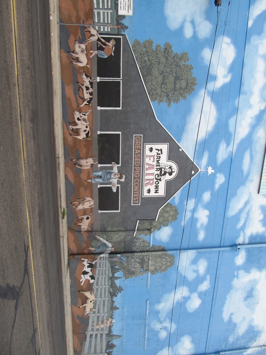
Today’s bike club ride was a trip to Maywood to visit the big Cookies L.A. pot shop there. We’ve been there a few times before, and it’s also a chance to see how the construction of the new 6th St bridge is coming, and also to see the hog mural on the Farmer John packing plant in Vernon.

We rode our usual route into downtown L.A., and then south on Santa Fe St through the Arts District to get to Vernon. When we got to the pot shop, the security guys in the parking lot remembered us. I guess they don’t get many bike club groups who ride there from any distance away.

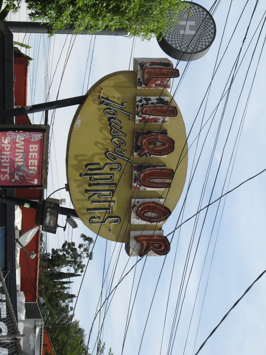
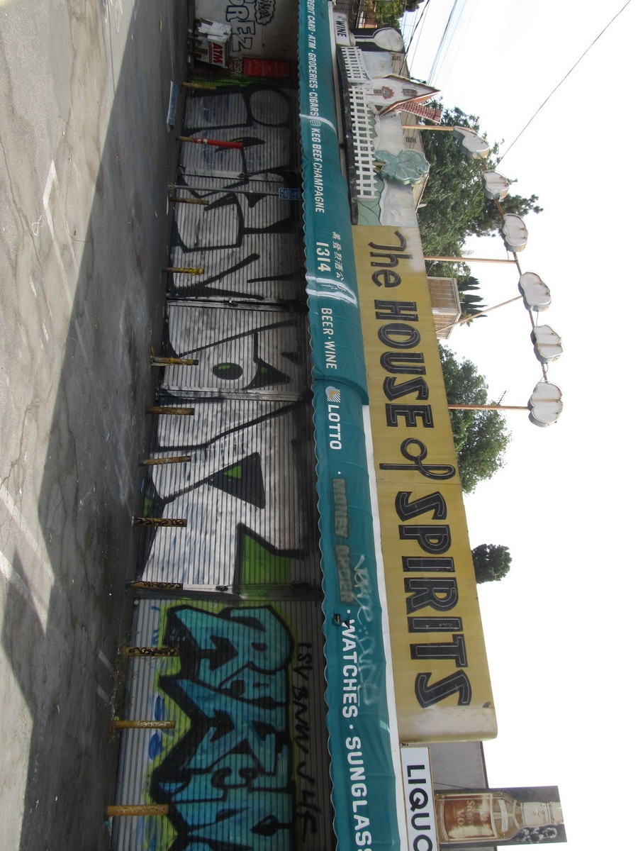
After leaving Maywood, we headed over to Hill Ave and then back into downtown. Then we went out 7th St to Bonnie Brae, and then took that up into Echo Park. We stopped for a moment to see the sort-of-famous old neon sign at the House of Spirits. We stopped for snacks and drinks at Valerie Confections in Echo Park. It’s a pretty nice place, although we still miss Chango Coffee.

Our route home went up through Highland Park and South Pasadena.

45 miles.

Route map and elevation profile.

9/8/2019

Here’s a story…

Filed under: — stan @ 2:19 pm

A bit over a year ago, we rode out to Studio City to see the “Brady Bunch” house. It was only seen as the exterior shot in the TV show, and none of the actual filming took place there. But HGTV bought it last year, with the intention of remodeling to make the inside of the house match the ‘inside the house’ sets that used to exist on a soundstage somewhere. So now the remodel is done, and the TV show is scheduled to show, starting tomorrow. So today’s ride was another visit to see the house.

We rode out to Burbank first, then made a loop and headed south to Studio City. Sadly, the house still had the construction fence around it. I guess maybe that’s because they want to keep it under wraps until the show airs. Still, we were able to see several obvious differences compared to the house as it looked last year.

We stopped for drinks and snacks at Sweet Salt in Toluca Lake. Then we rode home by way of Griffith Park and Highland Park.

46 miles.

Route map and elevation profile

9/1/2019

More aerospace history

Filed under: — stan @ 9:23 pm

Since this year is the 50th anniversary of the Apollo 11 moon landing, today’s ride was to see a bit of aerospace and space program history. The goal was Exposition Park to see the DC-8, F-104, F/A-18, and the space shuttle external fuel tank on display at the science museum.

The ride downtown is pleasant, with 14 miles of gentle downhill. We tried an experiment this time and tried taking Figueroa south through downtown, rather than Spring St. But it turned out that Figueroa turns into one-way northbound at 3rd St, so we ended up having to turn off and take Flower St.

We paused a few minutes at the park to look at the exhibits. Then we continued west on Exposition. That was where we saw the signs for Obama Boulevard. After that, we turned north to our snack stop at Noah’s Bagels in Larchmont Village. While we were sitting there, we saw a Jeep go by with a man, and with his dog wearing a big hat and sitting next to him. I guess with a big enough hat, nobody knows you’re a dog.

46 miles.

Route map and elevation profile.

Powered by WordPress