Stan’s Obligatory Blog

1/20/2019

Laurel and Hardy

Filed under: — stan @ 6:17 pm

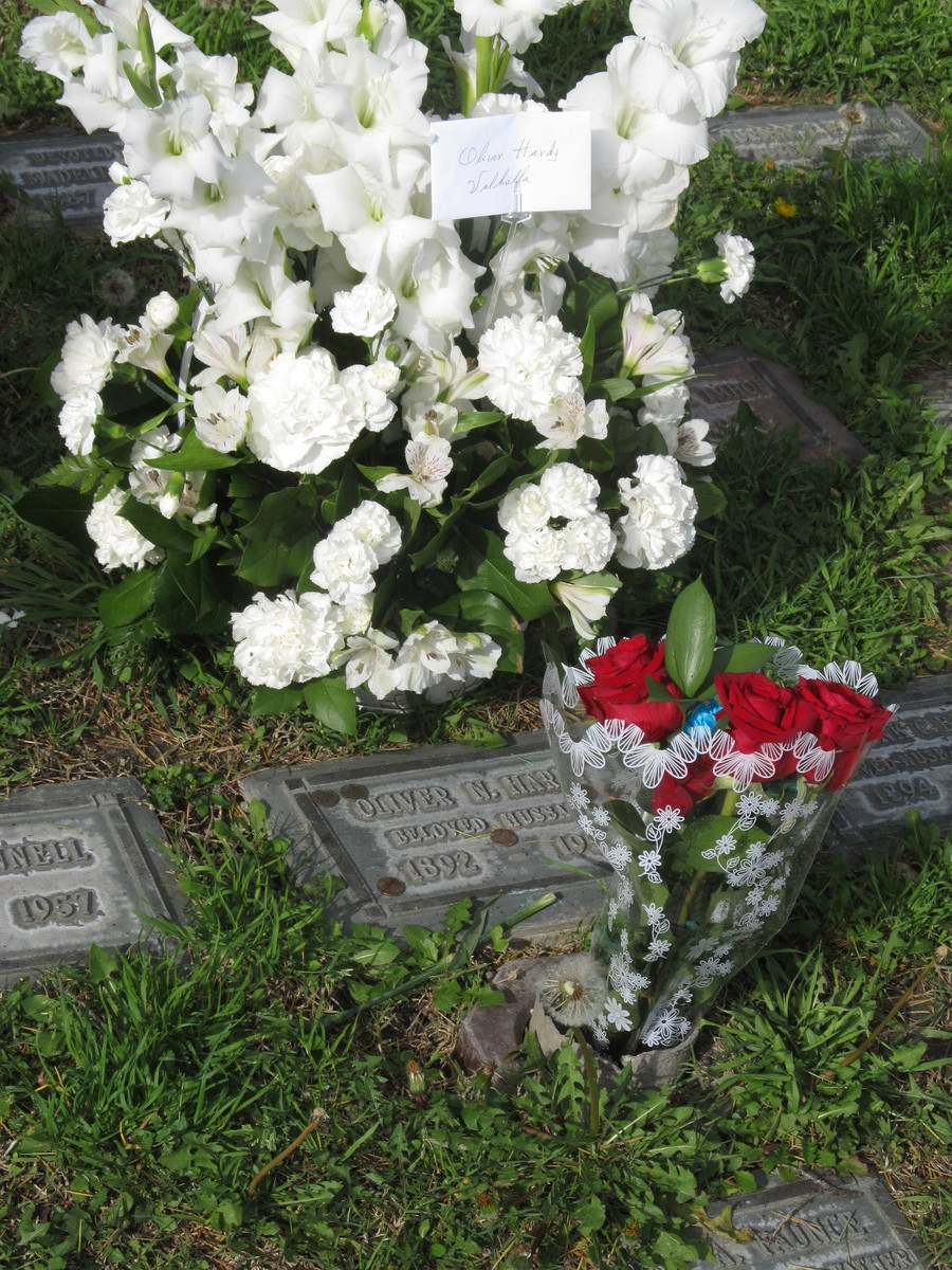
Today’s bike club ride was Laurel and Hardy theme. The plan was to ride to North Hollywood to visit Ollie’s grave, and then to Forest Lawn to see Stan.

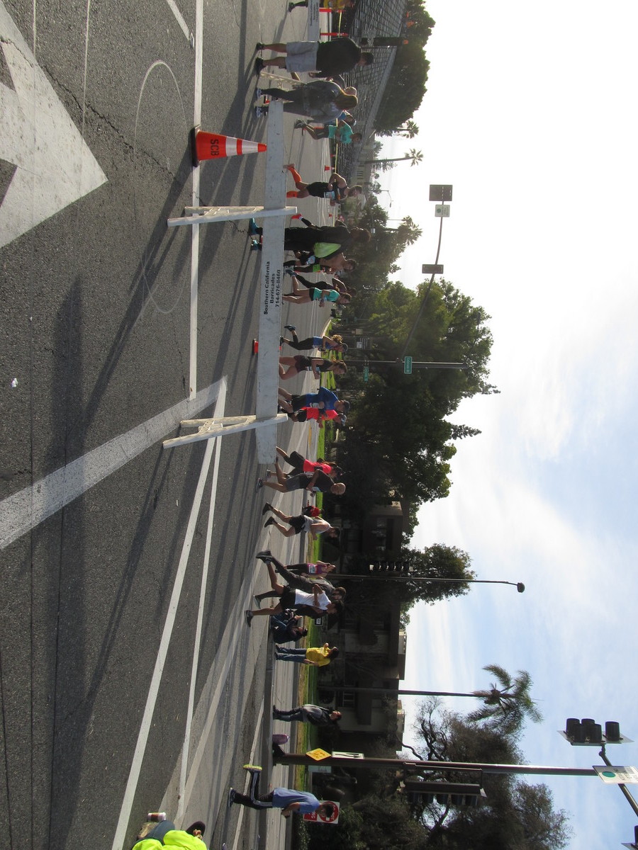
Right at the start, we had a small problem. Turns out today was the Pasadena Half-Marathon, and the course was using the Colorado bridge that we were planning on crossing. So we had to take a detour around. Then we got back on track and rode to NoHo.

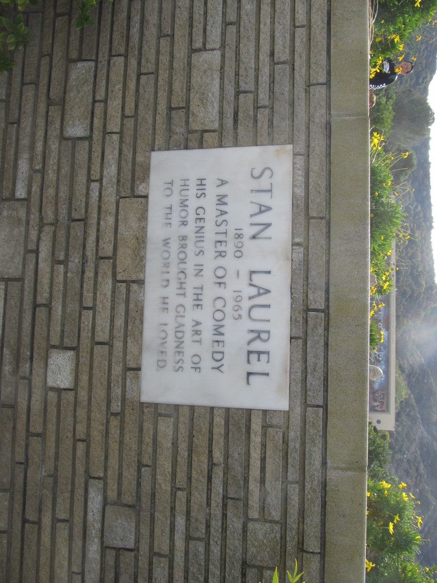
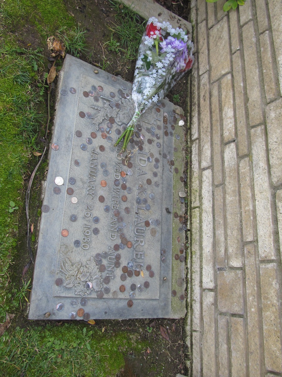
After visiting Ollie, we headed south to Priscilla’s for snacks and drinks. Then we continued on to Forest Lawn. Stan’s grave is in the Court of Liberty, which is all the way in the back, high up on the hill.

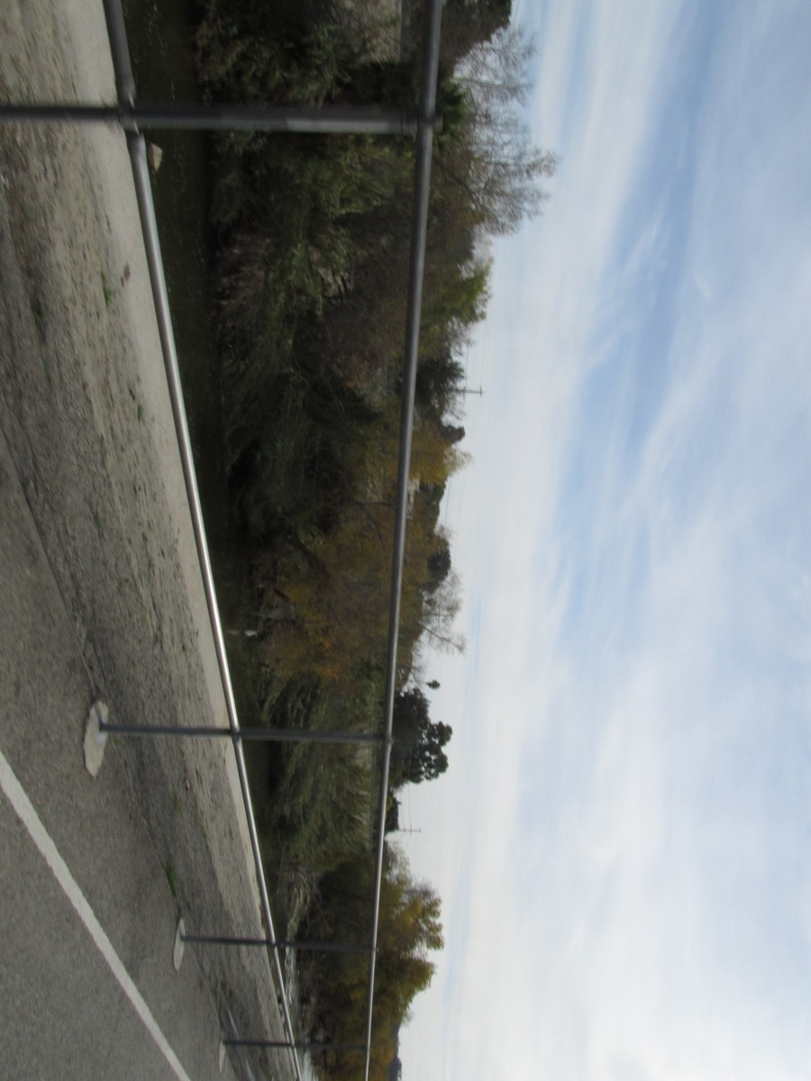
The route home went through Griffith Park, down the L.A. River a bit, and then home by way of Highland Park and South Pasadena.

47 miles.

Route map and elevation profile

1/11/2019

Brown Mountain

Filed under: — stan @ 3:27 pm

Today was yet another furlough-cation hike for our little USGS and Forest Service group. This time, we did the Brown Mountain loop trail above JPL. It was cool, but still a nice day. The trail is very popular with mountain bike people, and we saw a lot of them along the way.

On the way up, Nicholas saw some old mylar balloons in the brush a bit off the trail. That got us started, and we were looking for more, and in the end he was able to find something like seven old balloons. When we got to the top, we sat down and had lunch. Then we continued on down the rest of the loop. We saw several deer crossing the trail ahead of us along the way. They ran away before I could get the camera out, but I did see some little hoof prints on the trail.

All told, this was a good way to spend yet another furlough day.

7.6 miles

Route map and elevation profile

1/9/2019

Josephine Peak

Filed under: — stan @ 5:40 pm

It’s now the third week of the government shutdown, and Karina is back in L.A., so we’re going on the traditional furlough-cation hikes. We did this during the 2013 shutdown, and it was a good way to fill the time.

Today’s hike was Josephine Peak. I’ve doing this one once before, but that was back in 1995, so it’s been a while. The trail is a fire road, so it’s not terribly difficult. The road wraps around the mountain, so we got lots of good views in all directions. At the top, we sat down for some lunch. There used to be a fire lookout at the summit, so the foundations of it made a good place to sit.

8 miles.

I forgot my GPS, so I don’t have a map this time.

Powered by WordPress