Stan’s Obligatory Blog

11/20/2016

Mt Washington and Doo Dah

Filed under: — stan @ 1:52 pm

Today’s bike club ride was our old Mt Washington route, but cut a little bit short to end up at the Doo Dah Parade route right about when the parade was scheduled to start. I went to see the parade on my own in 2012, and the Sunday Ride went to see it in 2008.

It was cool and overcast, and it even rained on us for a few minutes just as we were starting out. We headed up into Altadena and then to La Cañada. Then we had about seven miles downhill through Glendale all the way to Eagle Rock Blvd in Cypress Park. We made a loop around, and then headed up Mt. Washington. That was where we saw the garage sale with the “Fuck Trump” painting, and also the DeLorean with the “STAYNLS” vanity plate.

After going over the hill, we headed back home, ending up at the Doo Dah parade on Colorado Blvd. We watched the parade for a while before it started to rain. At that point, we bailed out and headed home.

32 miles.

Route map and elevation profile


11/19/2016

Earthquake Tour with Atlas Obscura

Filed under: — stan @ 8:55 pm

Last year, I helped put on the San Andreas Scavenger Hunt with Atlas Obscura. It was pretty popular, and people have been asking when we’d do it again, so today was the day.

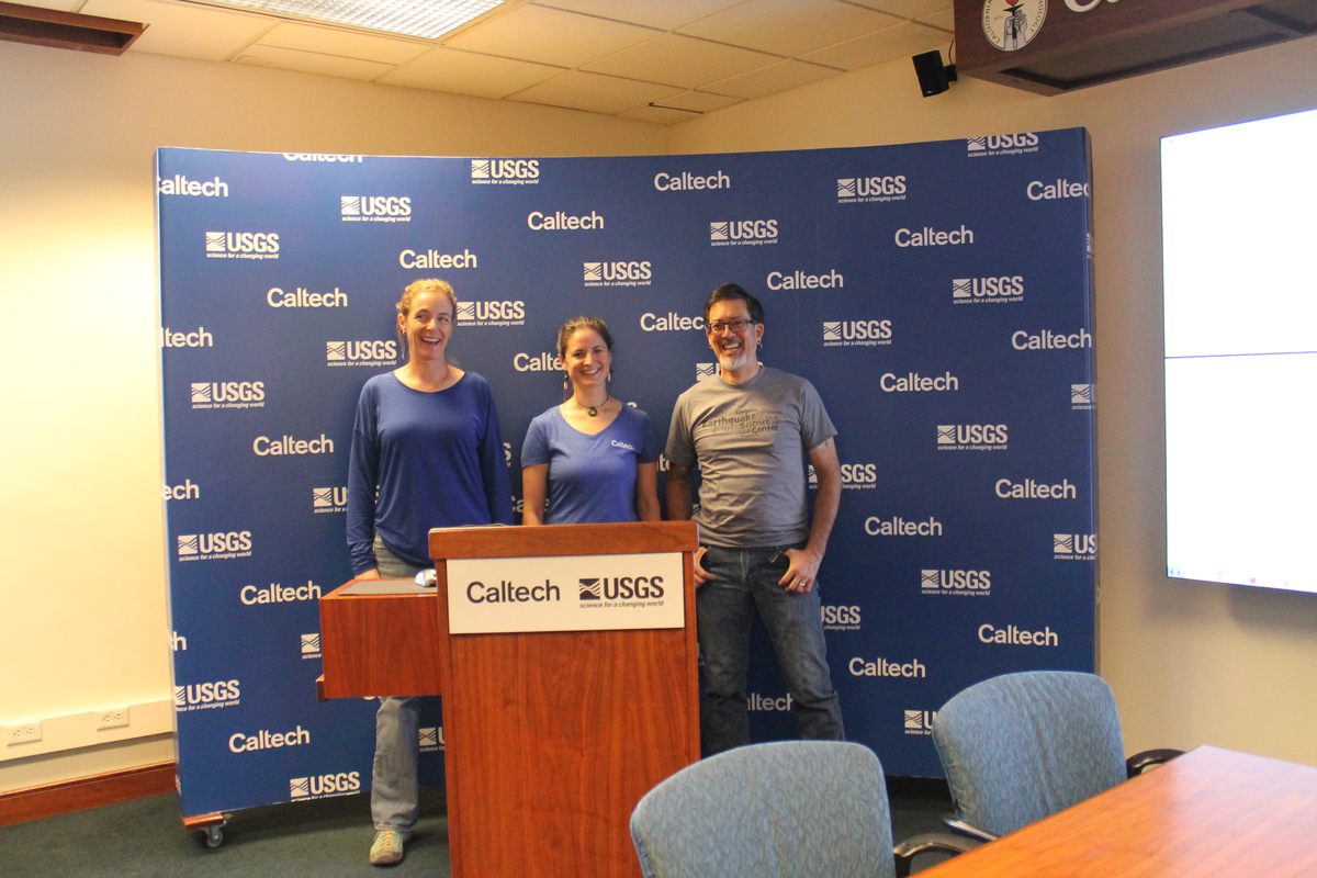
We met up at the Seismo Lab at Caltech for a quick tour. I brought everyone in to the first floor exhibit, where our geologist guide Kate explained the peel from Pallet Creek and told a bit of the history of trenching studies and how they tell us about the history of earthquakes at a site. Kate was a good guide for this, since she does trenches as part of her research at the USGS.

Next, we went upstairs to the Media Room, largely so everyone could see the room where the TV people go after an earthquake. Jen is the new staff seismologist at Caltech, and she spoke for a bit about how the displays work and how they are used after an earthquake.

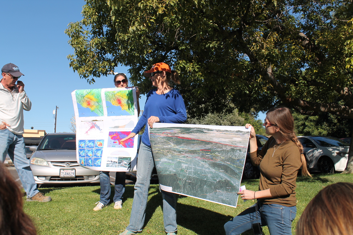
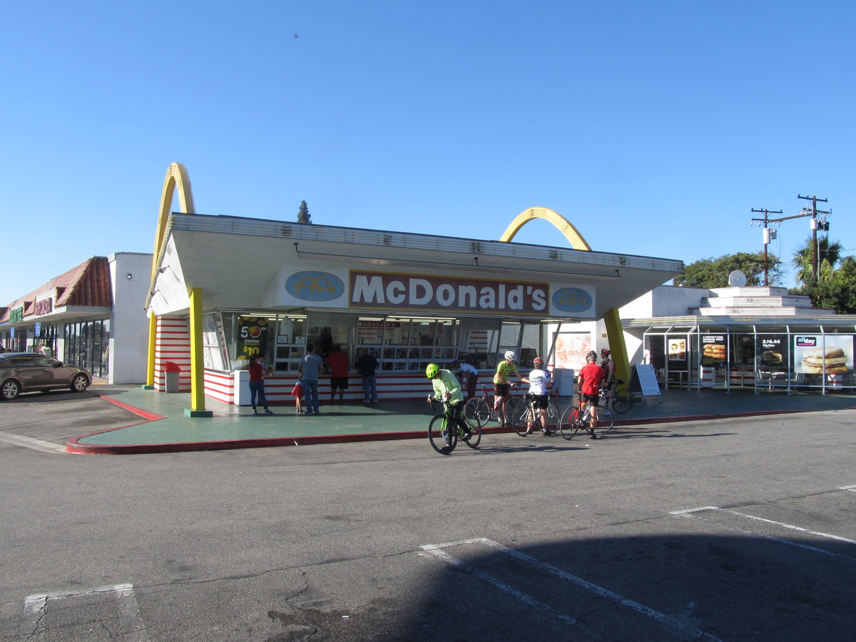
Then we all got on the bus for our first stop at the McDonald’s in San Fernando. This is the small fault scarp from the 1971 earthquake that they just sort of smoothed over and planted grass on. Kate brought along a poster that showed a map of surface ruptures from the 1971 earthquake.

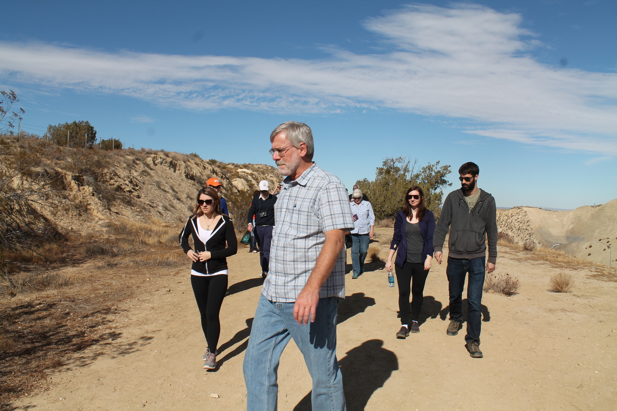
Our next stop was the overlook off the 14 freeway in Palmdale. That was a long ride from San Fernando. But it also meant we got to pass by Vasquez Rocks. I made sure to point out the famous spot where Captain Kirk faced off with the Gorn in the original series episode, “Arena”. When we got to the overlook, Kate explained what we were looking at and how we could see the trace of the fault stretching off into the distance. Then we got back on the bus for the short ride to Avenue S, where we walked up the hill to look at the famous road cut where the 14 freeway goes through a small hill that was pushed up by motion on the San Andreas.

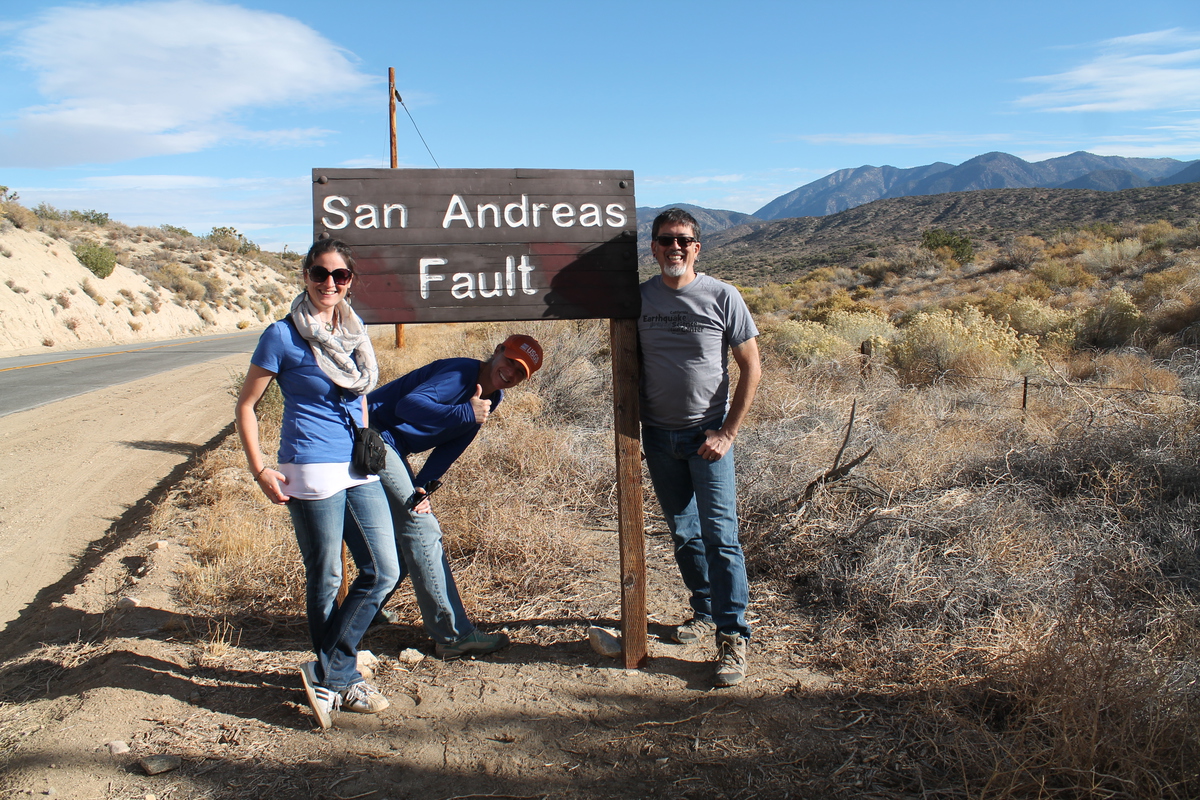
Our lunch stop was at Charlie Brown Farms, which is a weird little place in Littlerock. And after that, we went to our photo-op stop at the signs marking the fault line on Pallet Creek Road. We took a group photo, and make sure to point out that from that side, we could see the trace of the fault going off into the distance in both directions.

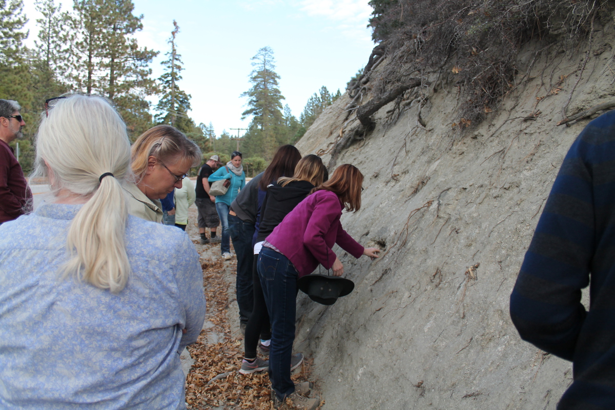
Then we went just a short distance down the road to the Pallet Creek site. This was where Kerry Sieh did his original trenching studies back in the ’70s and established a timeline of past earthquakes going back several hundred years. Kate does trench studies, so she was able to point out lots of details in the face where the fault trace was exposed.

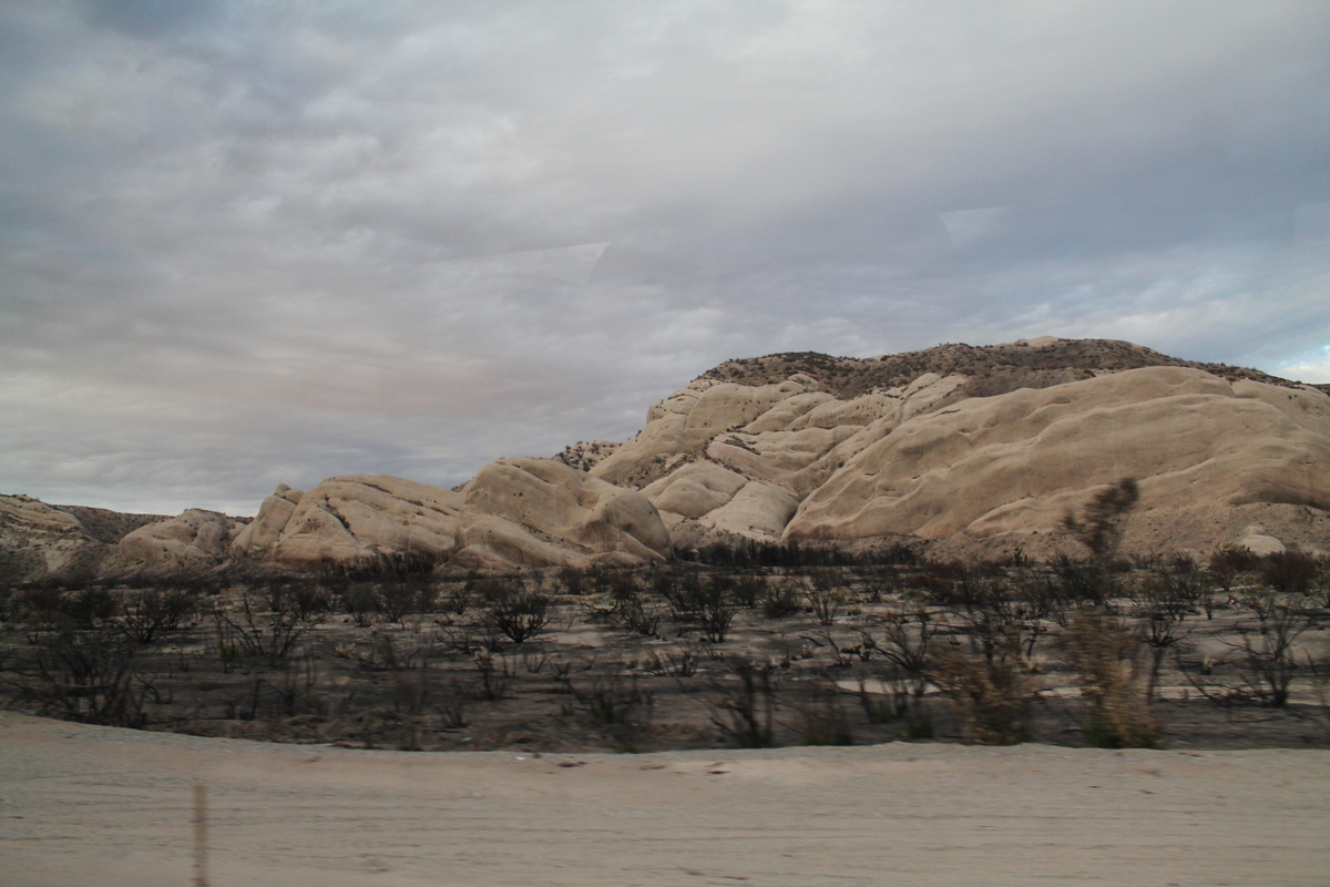
The next stop was a road cut near Big Pine. One side of the cut is a hill of sandy fault gouge. I showed everyone how you can dig out seemingly-solid chunks of rock from the sand and crush them in your hands. That’s always a hit.

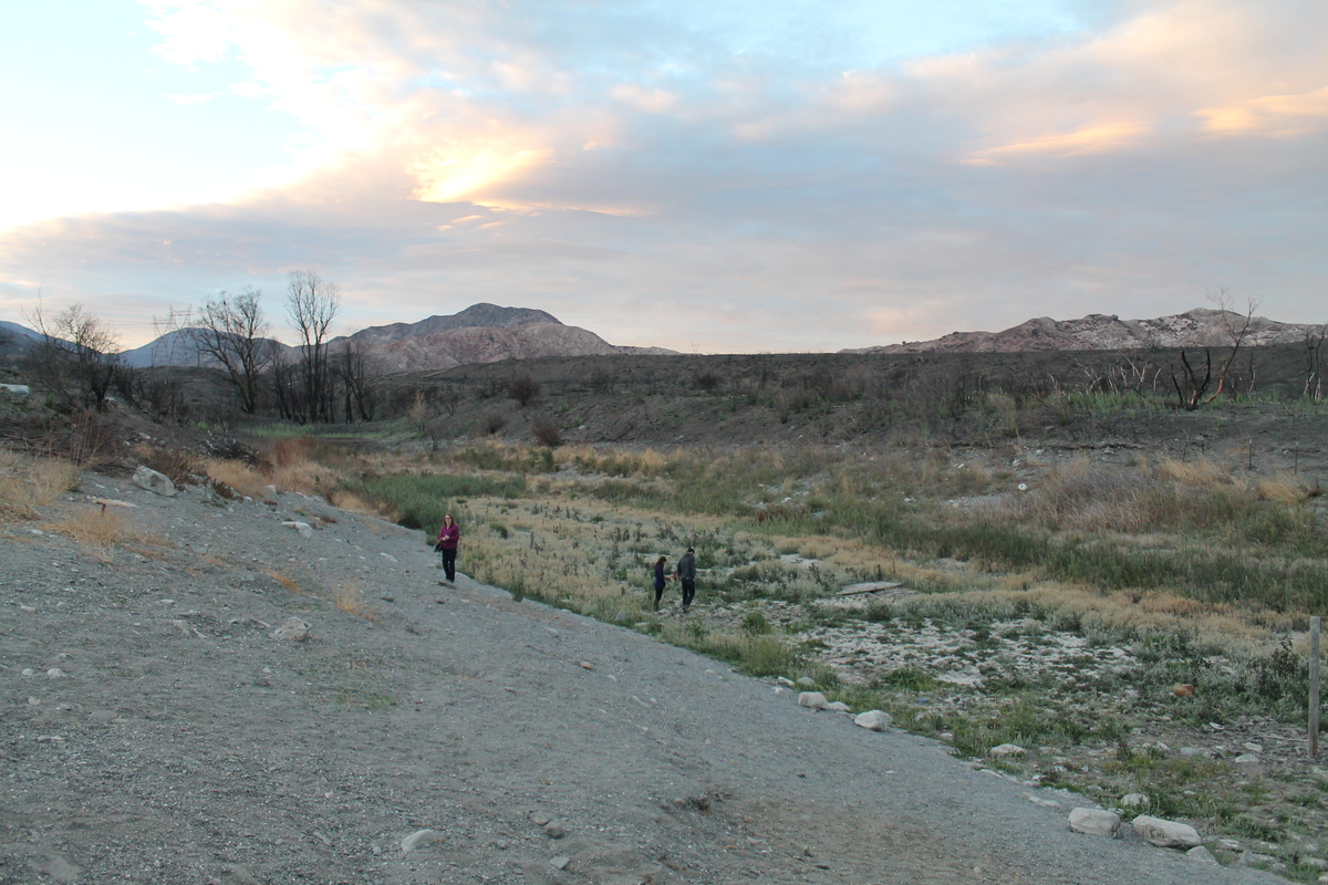
After a short stop in Wrightwood, we headed down the other side of the mountains. Then we turned off to go to the last stop of the tour at Lost Lake. As we got to the railroad crossing, there was a train slowly making its way up the mountain. And then it stopped. We sat there for a few minutes, and then a very long train came by, going down the mountain. We figured that the stopped train might be waiting for the downhill train to pass, so we waited it out. When the downhill train finished passing, the stopped train still sat there. And then another downhill train came by. We waited again until it had passed. Then the uphill train started moving again and finally cleared the crossing. And we finally made it to Lost Lake. Sadly, the drought has taken its toll, and the lake was no more. The bottom was soft mud, which shows that there is still a bit of water there, but not much. Also, there had been a fire there recently, and the parking lot gate was closed. This presented a problem for turning the bus around. We ended up having to back up about 1/4 mile to a turnout to get the bus turned around.

By the time we got moving again for the trip home, it was dark. And the traffic on the 210 freeway was very heavy. So we ended up getting back to Caltech about 1 1/2 hours later than planned. But it still seemed like everyone liked the tour.


11/13/2016

The Wall of (Un)Fame

Filed under: — stan @ 2:01 pm

Today’s bike club ride was yet another art tour. We’ve been to Downey to see the Columbia Space Center, and also to see the Carpenters, but I recently heard about the Wall of (Un)Fame.

Every Metro Rail station has some sort of art in it. And it turns out the Green Line station in Downey is home to a piece called the Wall of (Un)Fame. The piece features something like 650 concrete panels, each with hand and footprints and names, much like the Walk of Fame at the Chinese Theater in Hollywood, but each is a random, not-famous local person who was chosen in a lottery.

So we started out going south, and we went through the part of Downey that has the oldest operating McDonald’s. Then we went a bit farther south and came do the Green Line station and the Wall of (Un)Fame. We go to see a lot of public artworks, and this one was very entertaining. It’s a funny idea, and it’s a bit of social commentary at the same time.

Leaving the Metro station, we headed back into Downey and our snack stop at 3rd Street Coffee. Then it was back up the Rio Hondo bike path to Temple City, and then home through Arcadia.

47 miles.

Route map and elevation profile

11/6/2016

Wrigley Field

Filed under: — stan @ 2:21 pm

In honor of the Chicago Cubs winning the World Series, the Sunday morning bike ride did what is our first, and probably only baseball-themed ride ever today. The destination was Gilbert Lindsay Park, which was the former site of the original Wrigley Field. The stadium was there from 1925 until 1969, and for many years was home to a the Los Angeles Angels, who were a farm team for the Cubs.

We started out with our standard route into downtown Los Angeles. This time we didn’t make good enough time to be at tracks where Main St crosses the L.A. River in time to see the Metrolink 261 train to Lancaster that crosses Main St at about 8:51.

Coming in to downtown, we saw that Spring St in front of City Hall was closed off to traffic. We’ve seen this before when there were events going on on there, so we figured it was something like that, and like we usually do, we just rode down the sidewalk across the street. Playing tourist, I pulled out my camera, but one of the guards said something about “you can’t take pictures of the set”. That was when we realized it was all a set for filming something. The fake news trucks for fictitious L.A. TV stations were another giveaway.

Continuing south, we saw that the clouds were very low today. So the tops of the Bunker Hill skyscrapers were in the clouds. We rode Main St all the way down through downtown. When we got south of the 10 freeway, we saw the L.A. Sports Museum. I never knew there was such a place. And across the street from it was another aspect of L.A. life. A BMW with a broken-out window. And then behind that was an art installation in the form of a giant chair. It was all a bit surreal.

At 41st St, we came to the park. The far corner of the park is where the former stadium was, so I went and took a picture of the building that occupies the site now.

After leaving the park, we came back up into downtown, passing by the steel origami horse and the apartment building on Olive St that we visited back in 2006 on the Tour de Oozing Oil. Then we turned left on 7th St and rode that out to Westlake, and then Bonnie Brae up to Echo Park and our snack stop at Chango Coffee.

The route back was our regular route up the Arroyo Seco. It was a nice ride.

40 miles.

Route map and elevation profile

Powered by WordPress