Stan’s Obligatory Blog

Page 1 of 3123»

1/11/2019

Brown Mountain

Filed under: — stan @ 3:27 pm

Today was yet another furlough-cation hike for our little USGS and Forest Service group. This time, we did the Brown Mountain loop trail above JPL. It was cool, but still a nice day. The trail is very popular with mountain bike people, and we saw a lot of them along the way.

On the way up, Nicholas saw some old mylar balloons in the brush a bit off the trail. That got us started, and we were looking for more, and in the end he was able to find something like seven old balloons. When we got to the top, we sat down and had lunch. Then we continued on down the rest of the loop. We saw several deer crossing the trail ahead of us along the way. They ran away before I could get the camera out, but I did see some little hoof prints on the trail.

All told, this was a good way to spend yet another furlough day.

7.6 miles

Route map and elevation profile

1/9/2019

Josephine Peak

Filed under: — stan @ 5:40 pm

It’s now the third week of the government shutdown, and Karina is back in L.A., so we’re going on the traditional furlough-cation hikes. We did this during the 2013 shutdown, and it was a good way to fill the time.

Today’s hike was Josephine Peak. I’ve doing this one once before, but that was back in 1995, so it’s been a while. The trail is a fire road, so it’s not terribly difficult. The road wraps around the mountain, so we got lots of good views in all directions. At the top, we sat down for some lunch. There used to be a fire lookout at the summit, so the foundations of it made a good place to sit.

8 miles.

I forgot my GPS, so I don’t have a map this time.

12/31/2018

The Bridge to Nowhere

Filed under: — stan @ 7:22 pm

Since Lucinda and Melissa are both home from school right now, I suggested that we take a hike out to the famous “Bridge to Nowhere” at the Narrows on the east fork of the San Gabriel River. So today was the day. This was my third time doing this particular hike.

I had it lodged in my memory that we were supposed to have to cross the river four times, but in the end, it turned out to be six times. The river is higher than it was the other times I’ve been out there, which made the crossings a bit more difficult. In the end, I had to stop and take my shoes off to wade across about three of the crossings. Between that and losing the trail a few times along the way, the trip out there took longer than the other times. And when we got there, it was pretty cold and windy, so we didn’t spend much time at the Bridge. Coming back was a lot easier, though. We’d made all the mistakes on the way out, and so we were able to avoid them coming back.


8/20/2017

Lava River Cave

Filed under: — stan @ 5:25 pm

Today was our last day at Newberry Volcano, and we got up early to go and see Lava River Cave before it was time to head back to Salem for the eclipse.

The cave opens at 9, and we got there a bit before that, just so we could be in the first group to go tour the cave. The rangers gave a short talk about cave safety, and then we picked up our rental lights and headed down to the entrance. Even though it’s August, the inside of the cave was an even 42 degrees, so it was actually pretty chilly.

The cave itself was pretty big. Most of it was just easy walking. There were just a few places where the roof was low, and we had to stoop a bit. The floor of the cave was covered in sand. The rangers said that the sand was actually ash from the eruption of Mt Mazama, about 7,000 years ago. That eruption left a thick layer of ash over the whole of what is now central Oregon, and the ash was washed down into the cave by rain over the years.

The walk through the cave was about a mile to get to the end. The cave went on, but the ceiling was very low, and the sign said to turn around and go back. So that was our little cave adventure, and now it was time to head back to Salem to see the eclipse.

8/19/2017

Newberry Caldera and Lava Butte

Filed under: — stan @ 8:52 pm

Today was our day to play tourist in the caldera at Newberry Volcano. We were staying in a little bed-and-breakfast place, and while we were having our breakfast, we saw couple of bucks wandering by. Then we headed over to the volcano. The first stop was at Paulina Falls. This is the western edge of the caldera, and it’s where water from Paulina Lake drains out of the crater. From there, we went to the visitor center. They had a stack of the USGS fact sheets about the volcano. I told the guys there that it was that fact sheet that got me interested to come there and see it.

Our next stop was the Big Obsidian Flow. This is one of the newest lava flows, at only about 1,300 years old. Apparently, obsidian was an ideal material for making arrowheads and other cutting tools in the ancient world. And it’s usually hard to come by. But this lava flow had lots of it. So the people who lived around here were able to collect it and trade it for other things. The signs along the trail said that arrowheads made from Newberry obsidian are found all over the western U.S.

After the obsidian trail, we went to the East Lake Resort for lunch. We also walked along the shore of the lake a bit, looking for hot springs. Apparently, the two lakes are both fed by hot springs that just sort of seep out of the lake shores.

The next stop was Lava River Cave. This is another lava tube cave. It’s open during the day, and the rangers there rent out lights to use in the cave. But when we got there, there were too many people already there, and we couldn’t get in. So instead, we went on the main visitor center at Lava Butte.

Lava Butte is a small cinder cone volcano. It formed in an eruption about 7,000 years ago. It’s also surrounded by a large lava flow that came out at around the same time. We took the short trail through the lower part of the lava flow. After that, we rode the shuttle bus up to the top of the cone. There, we walked the short trail that goes around the rim of the crater. By this time, the wind had shifted a bit, and the air wasn’t as smokey as this morning. Since we missed seeing the cave, we made plans to come back first thing in the morning to see it before heading back to Salem.


8/17/2017

Visiting Mt St Helens

Filed under: — stan @ 8:51 pm

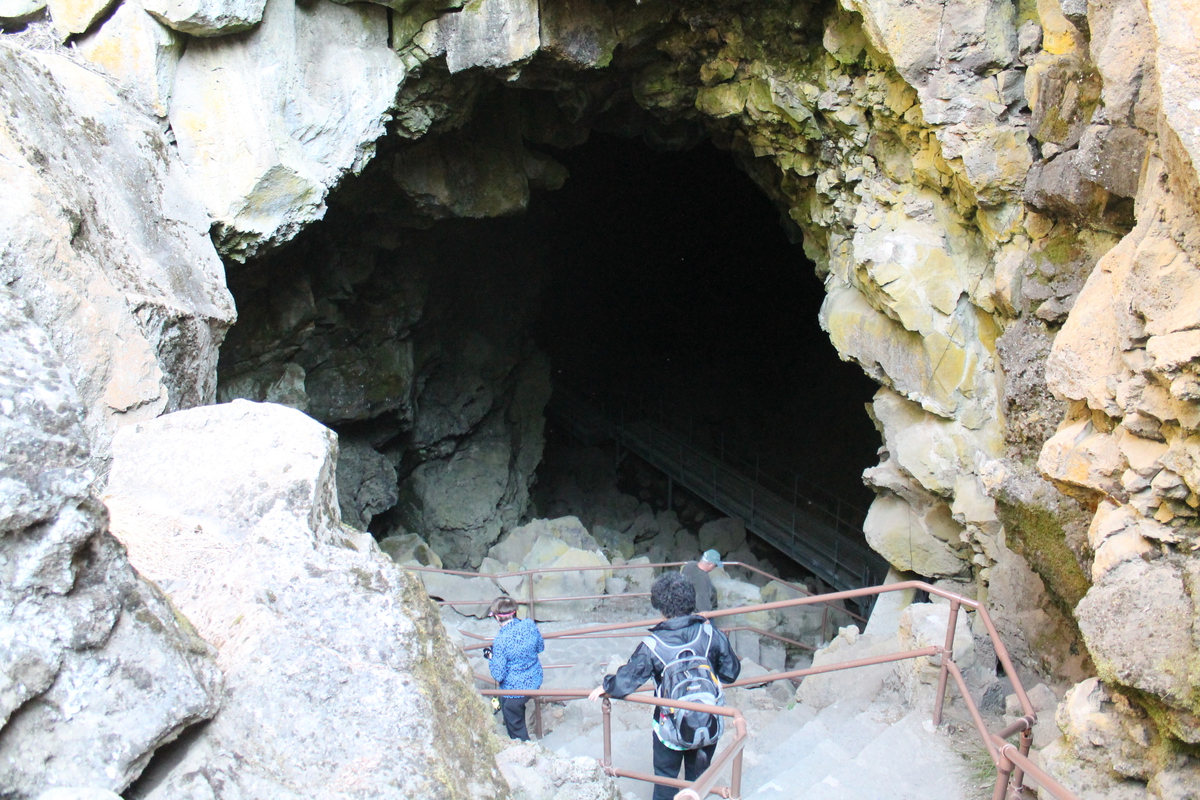
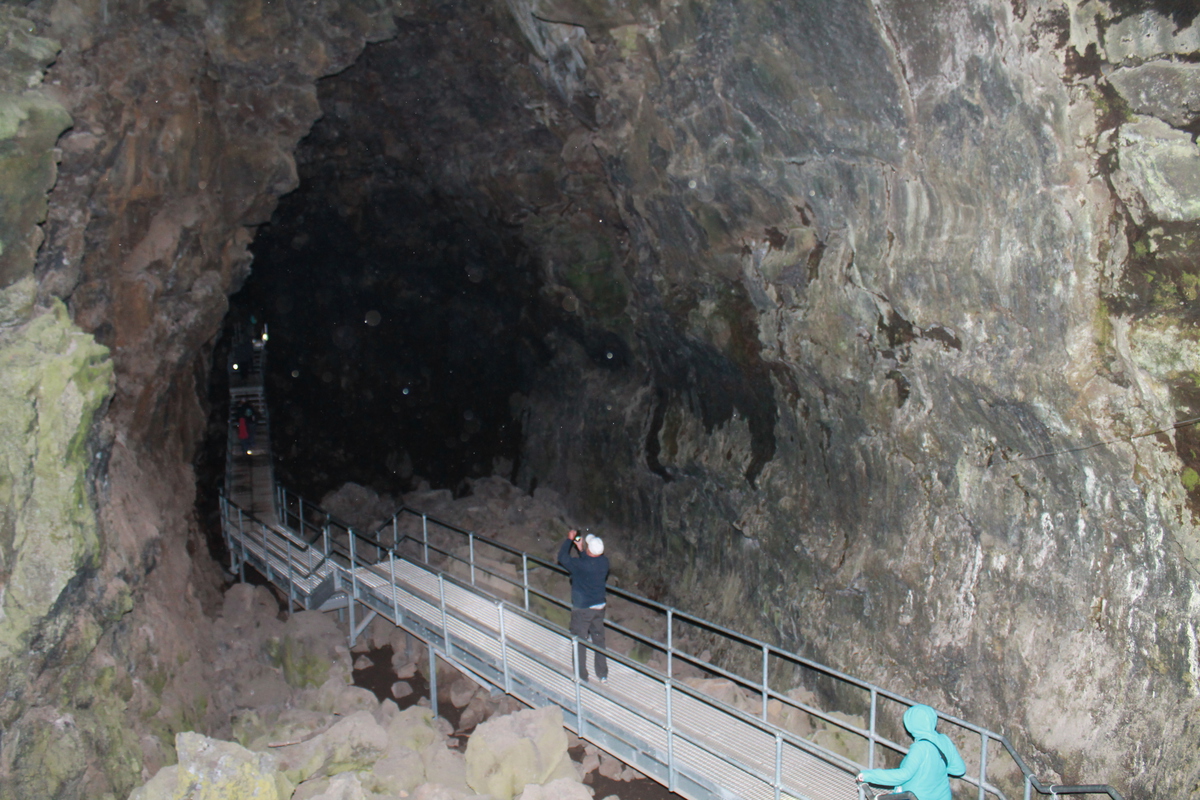
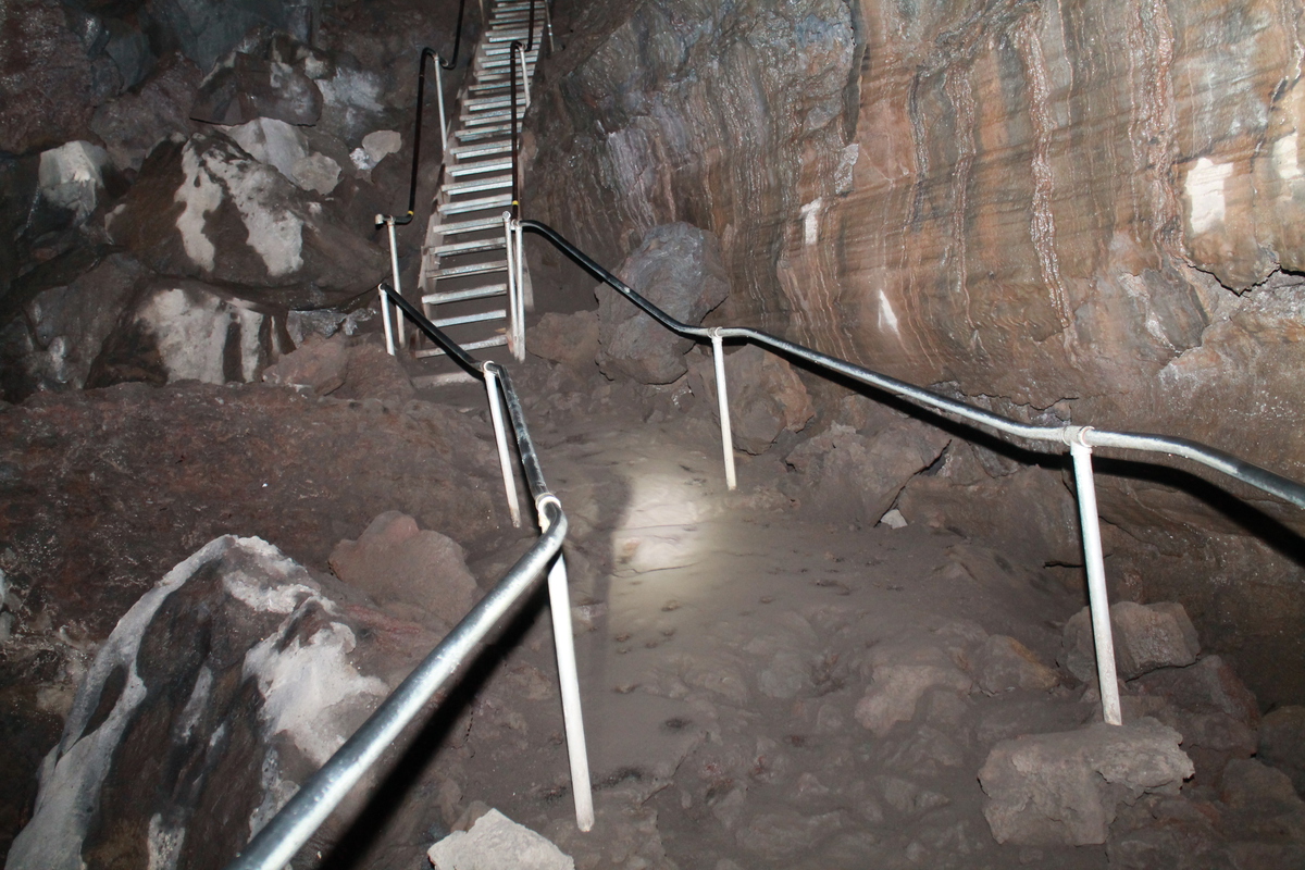
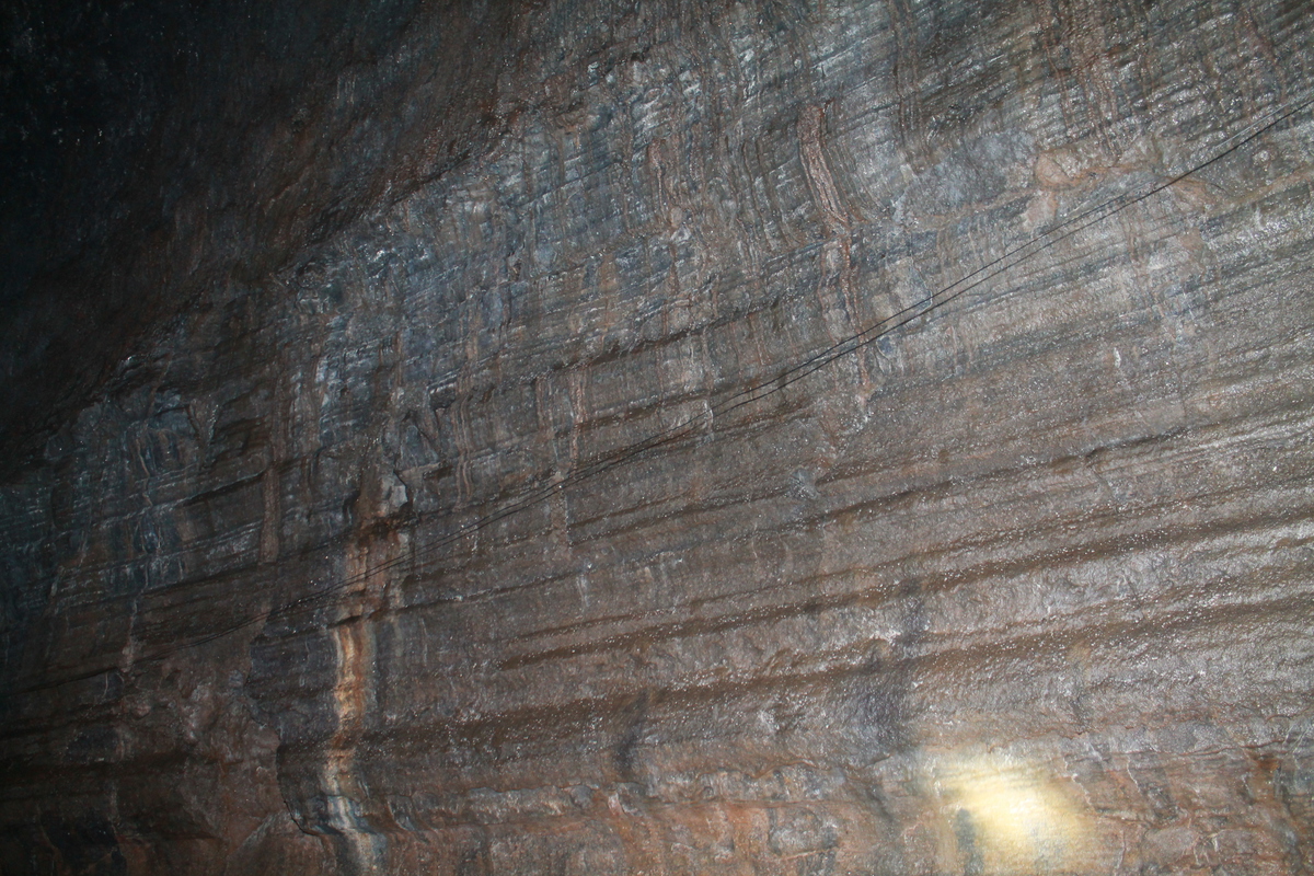
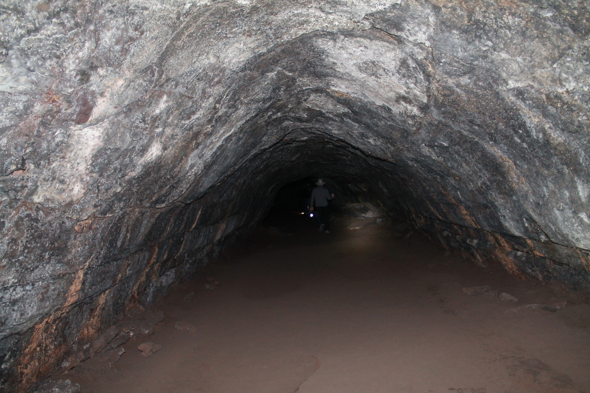
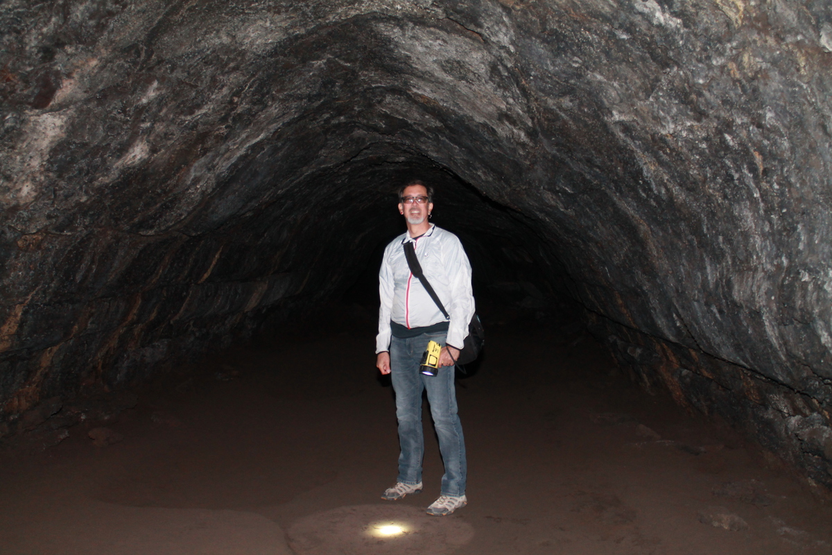
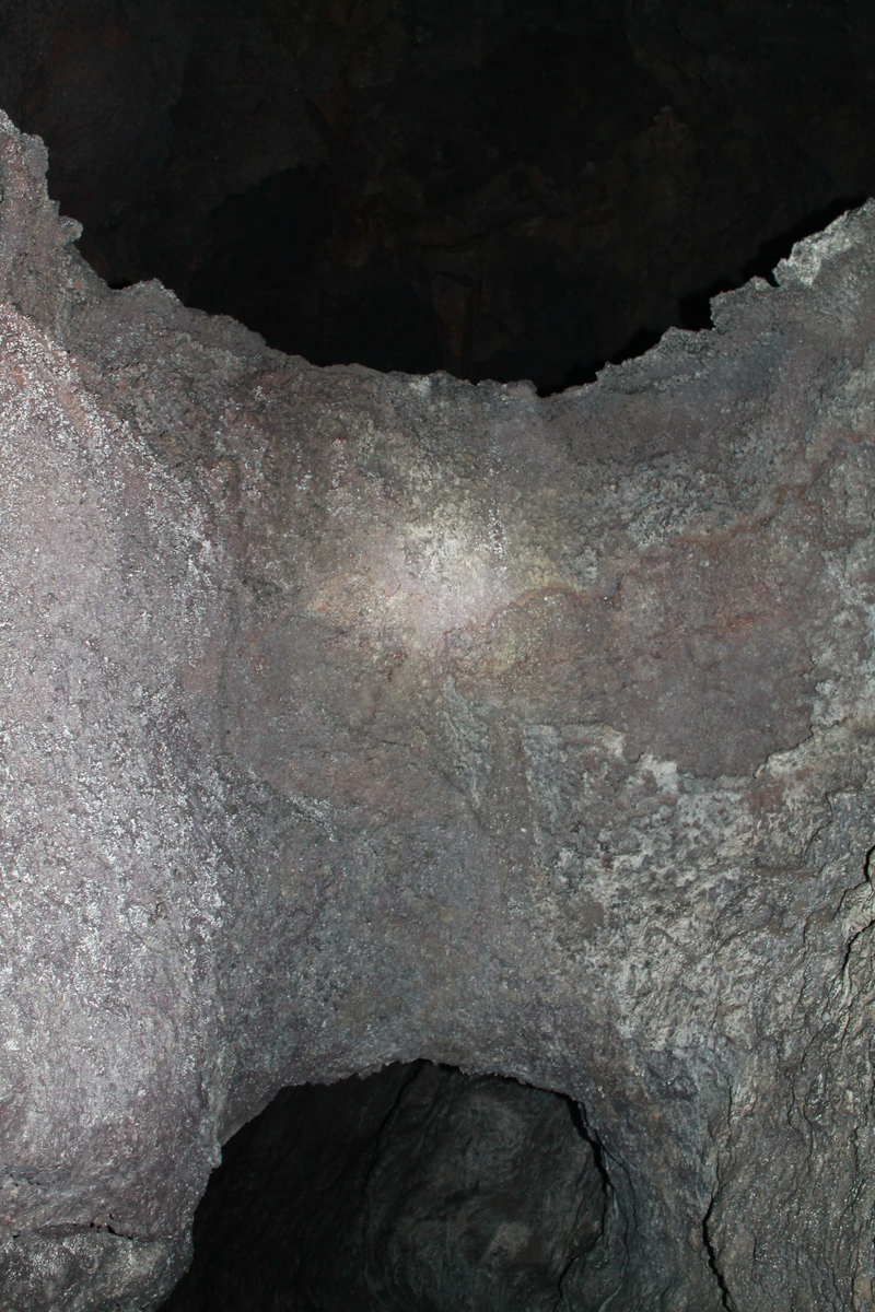
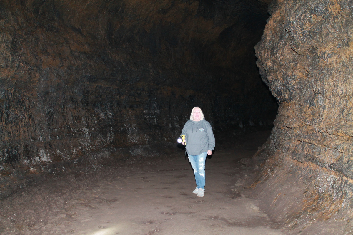
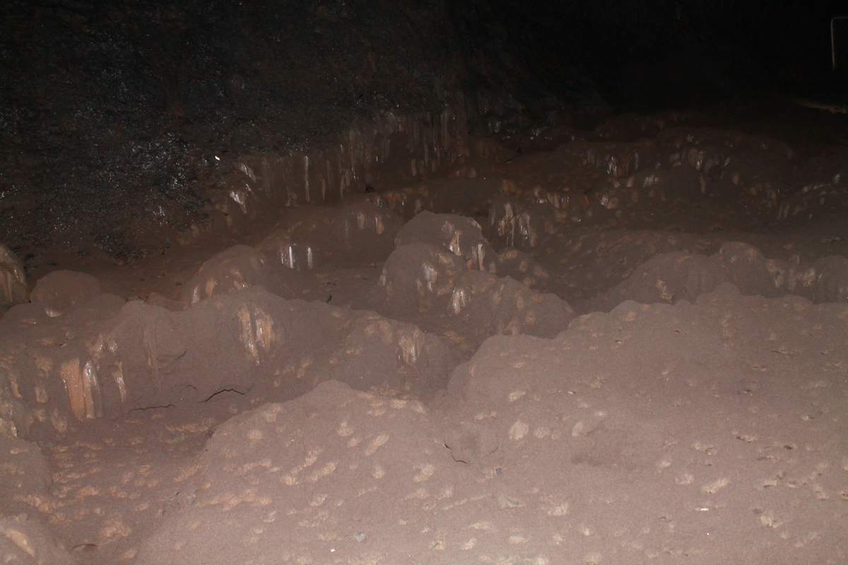
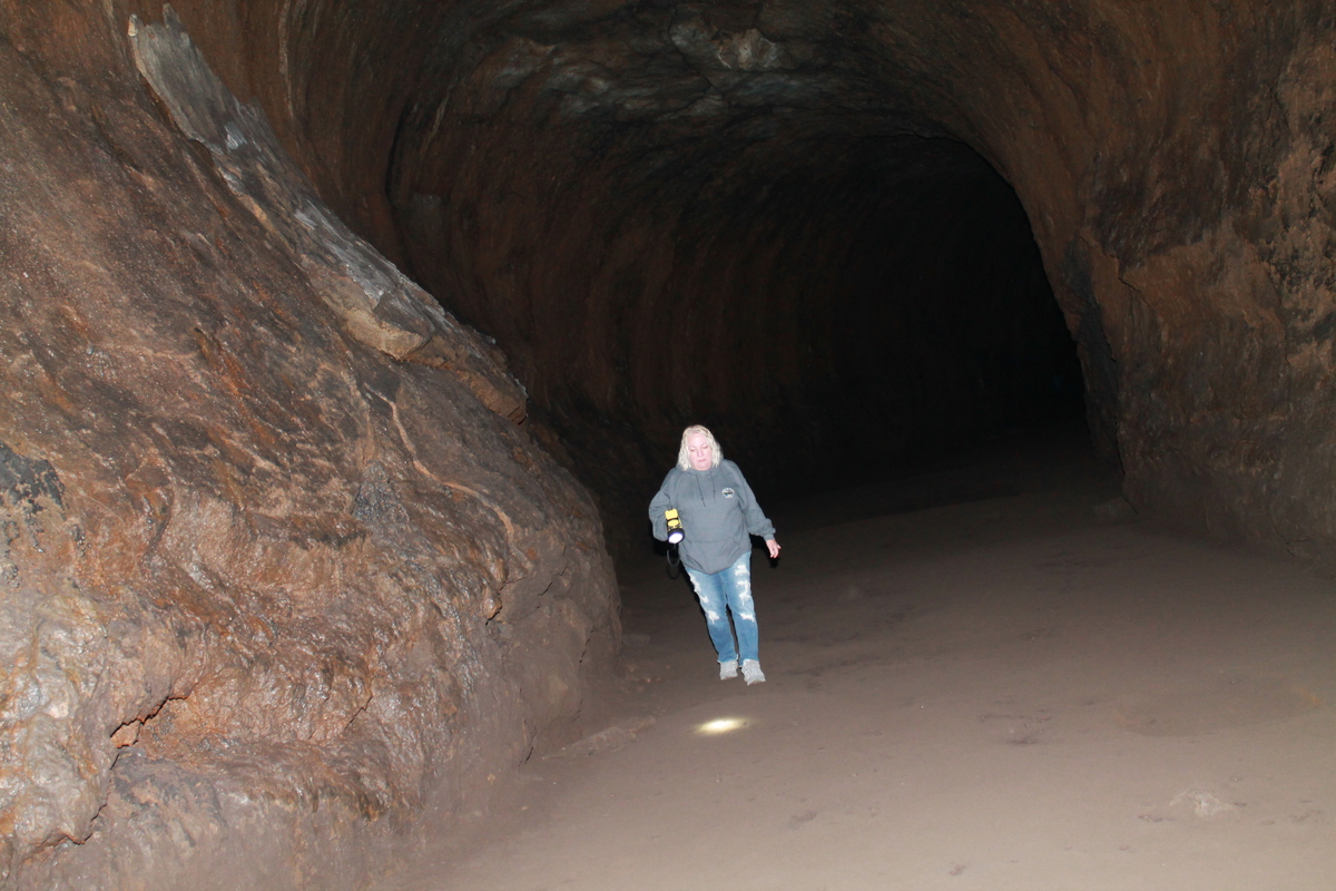
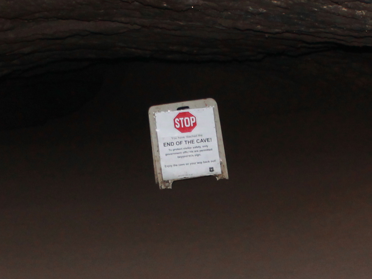
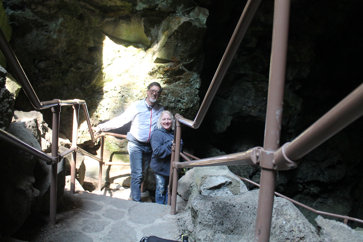
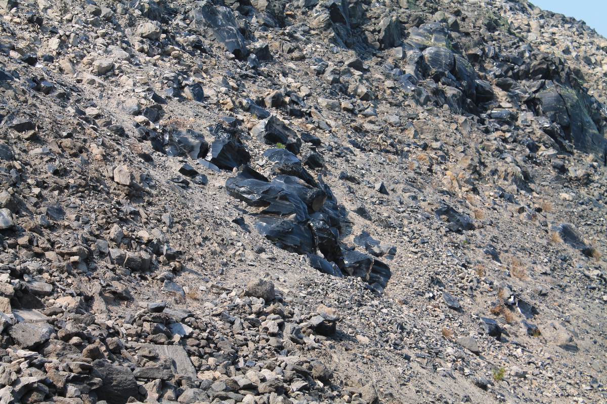
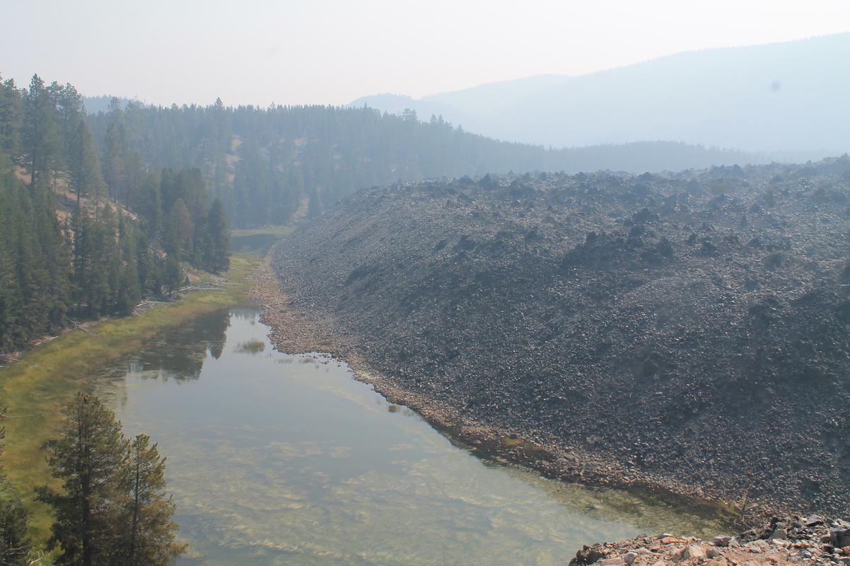
Our first destination on our trip was to go see Mt St Helens. As it turned out, we got there early enough on Wednesday afternoon to be able to go to the south side of the mountain and do a little sightseeing there. We went and saw Lava Canyon, the path of a big lahar from the 1980 eruption, and also the entrance to Ape Cave, which is a long lava tube cave. We didn’t have flashlights, so were weren’t able to go explore inside.

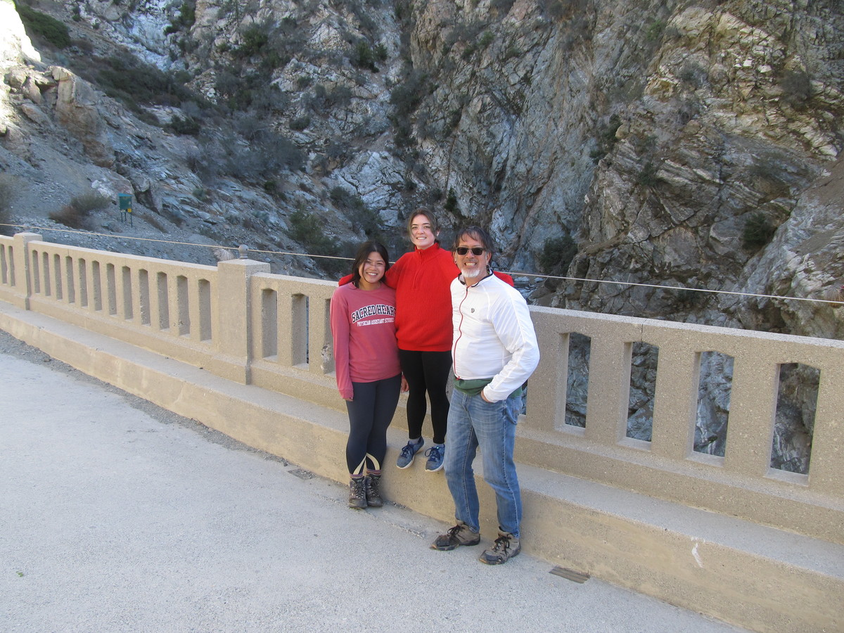
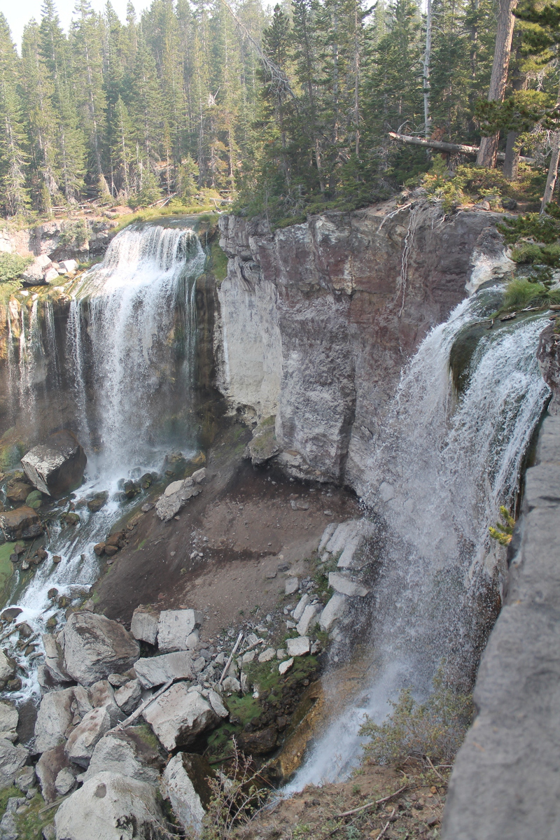
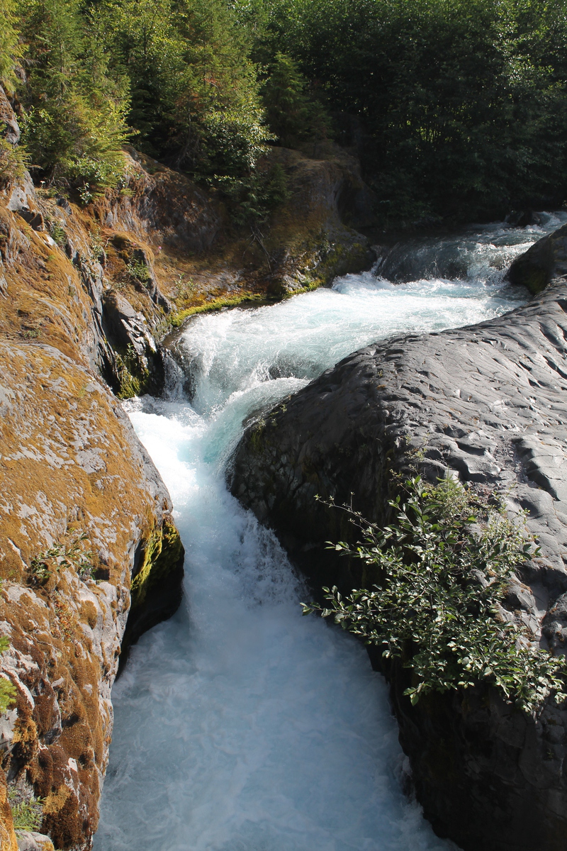
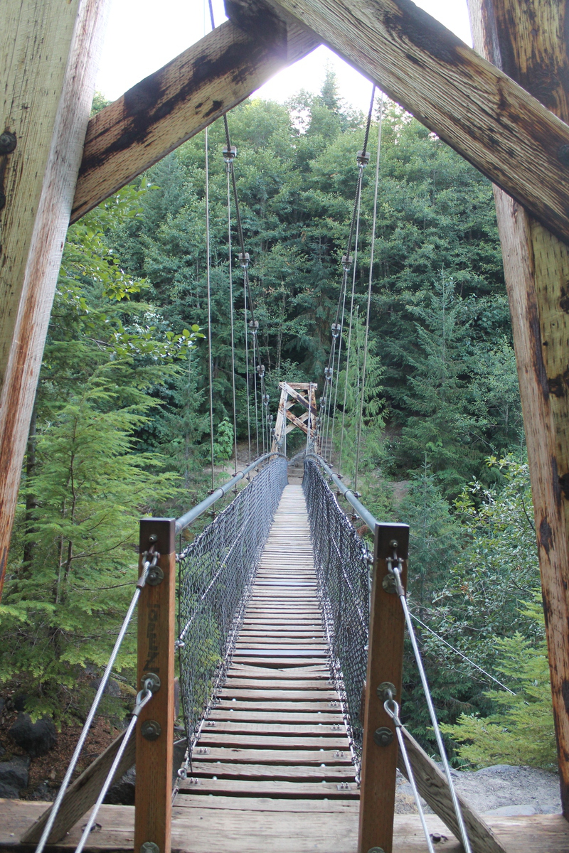
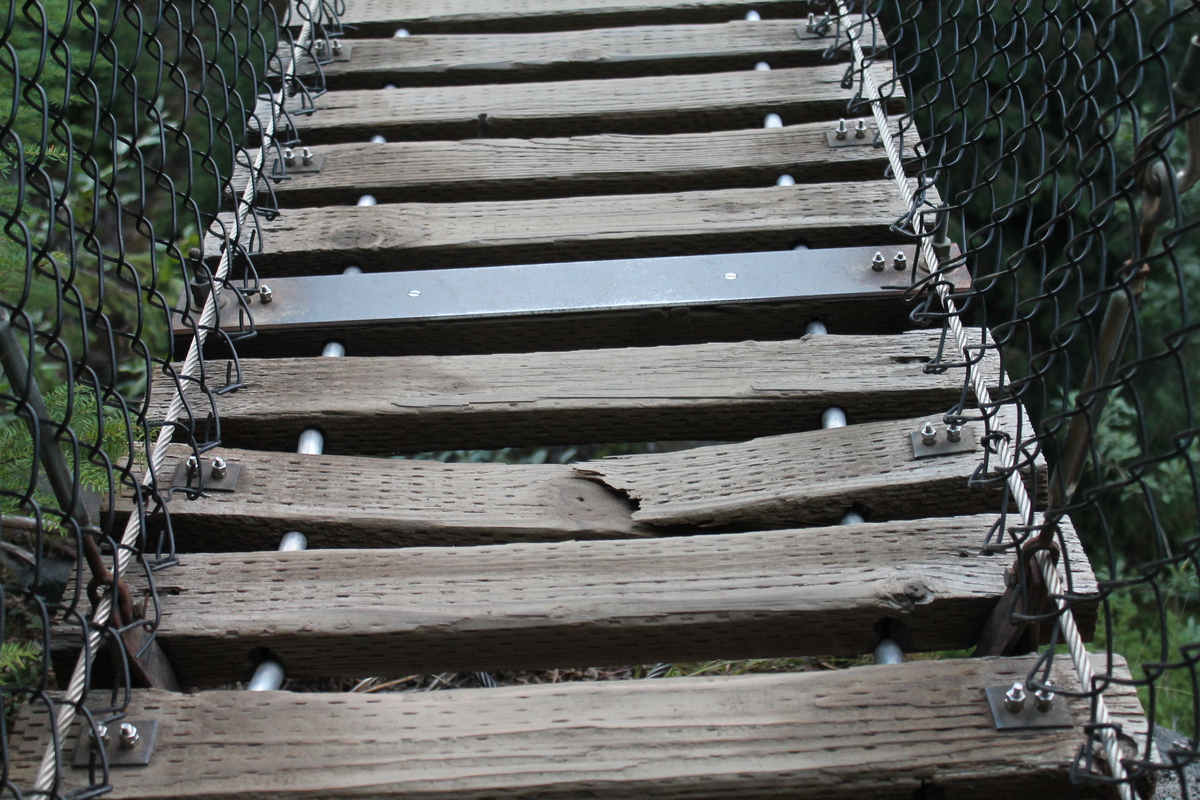
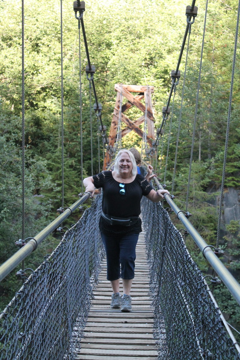
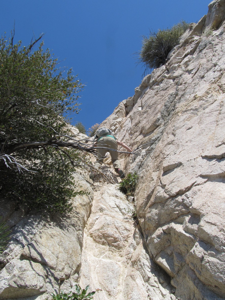
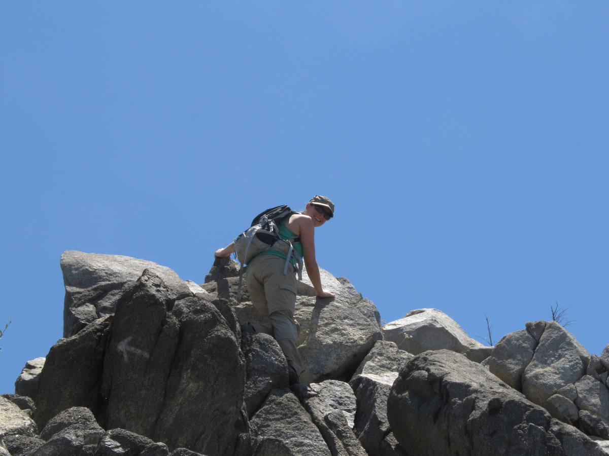
Lava Canyon was very pretty. It’s a steep canyon, so there were lots of waterfalls. We walked down one side of the canyon, and the crossed over on a suspension footbridge. Just like on Tom Sawyer Island at Disneyland. Except the bridge at Disneyland isn’t 100 feet above the water, and it doesn’t have a broken board right at the start to inspire confidence. This bridge kind of gave me the willies. But we made it across just fine.

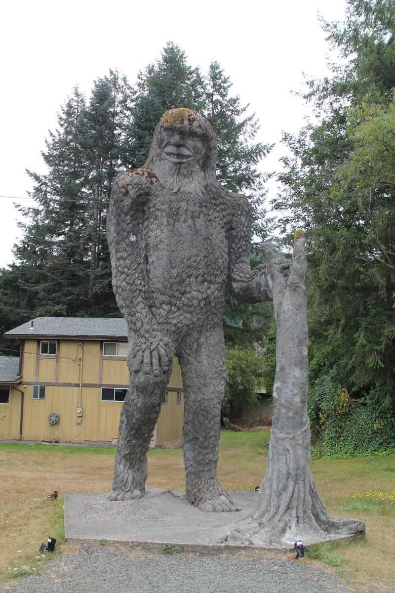
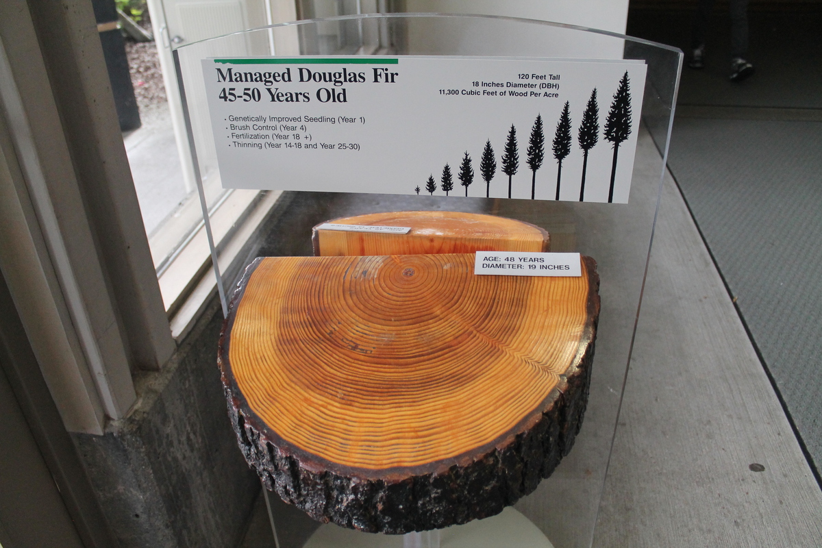
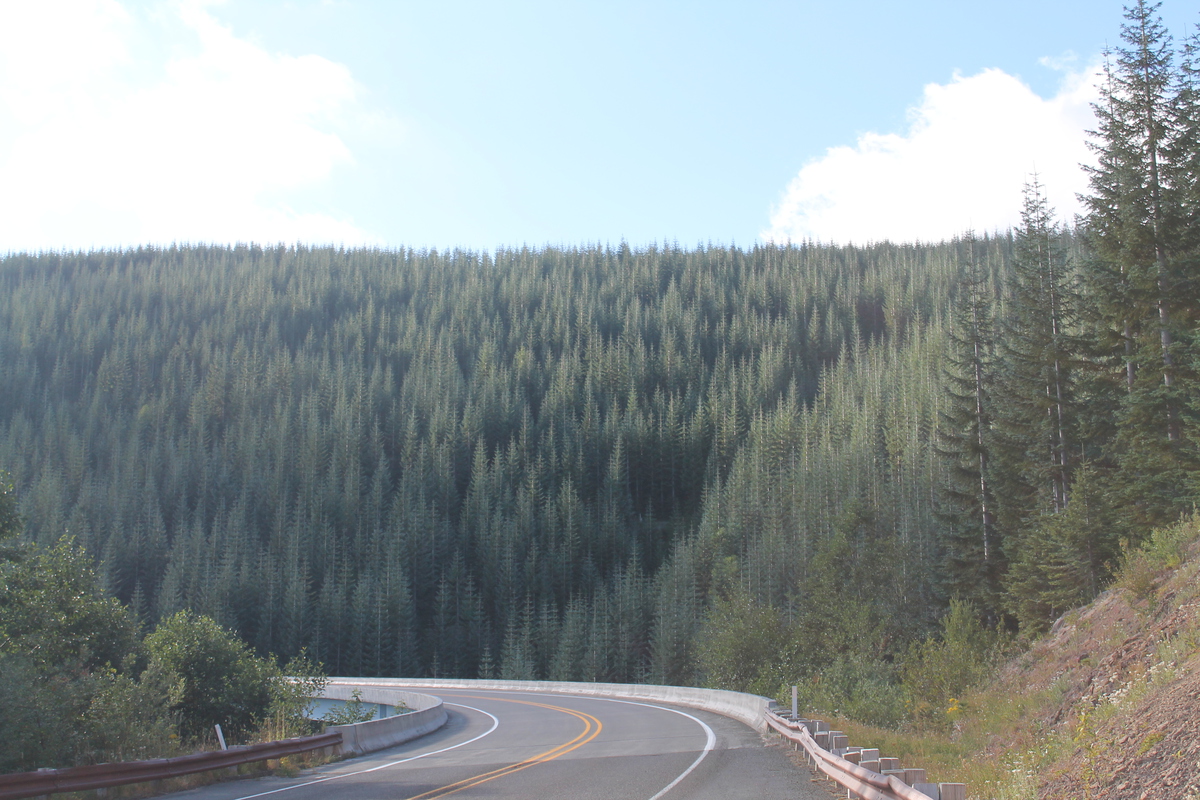
The next day, we took the road up the Toutle River valley to the main Visitor Center, and to Johnston Ridge. Along the way, we saw the Bigfoot statue that was made out of cemented-together ash from the 1980 eruption. We also stopped at the Weyerhauser visitor center, where we found out that the trees they are farming there are all genetically modified to grow straighter, taller, and faster than regular trees.

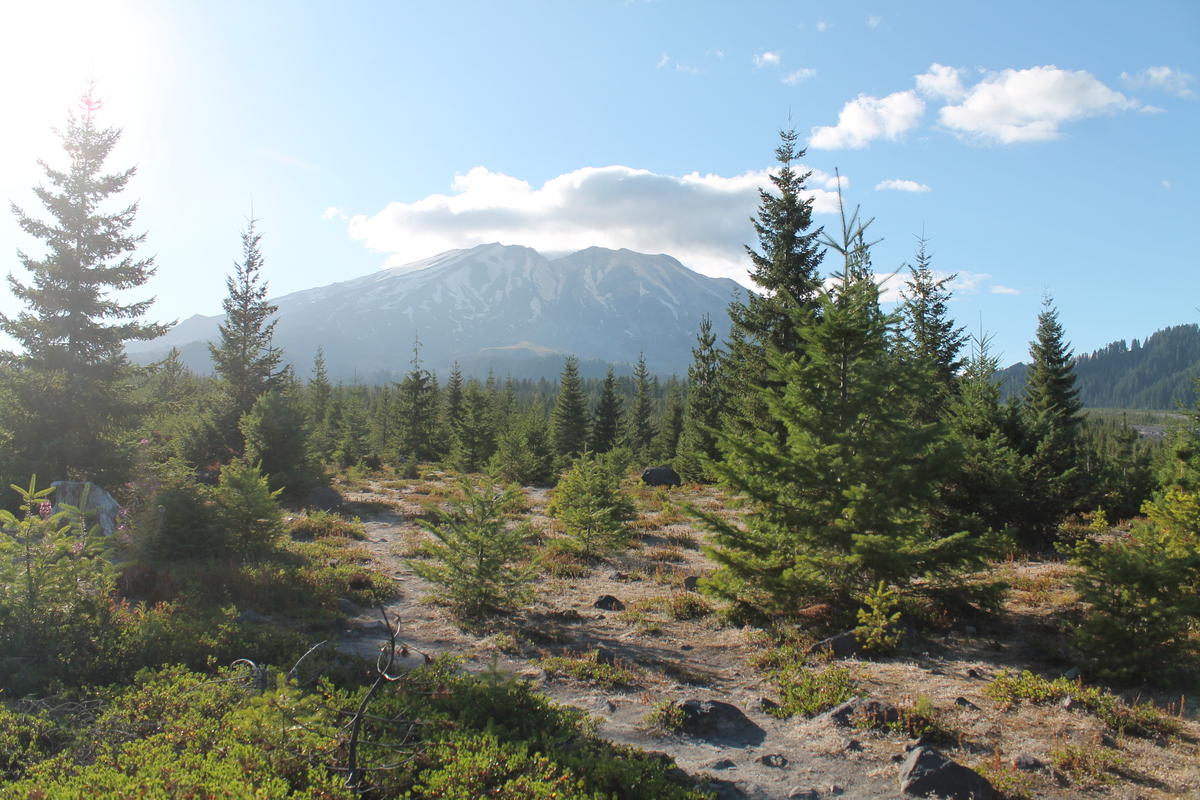
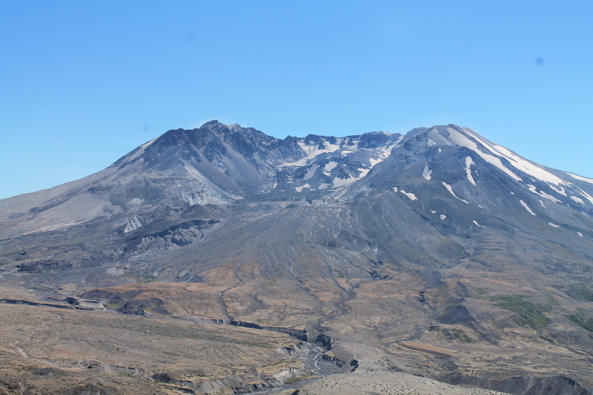
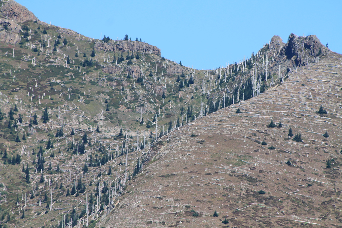
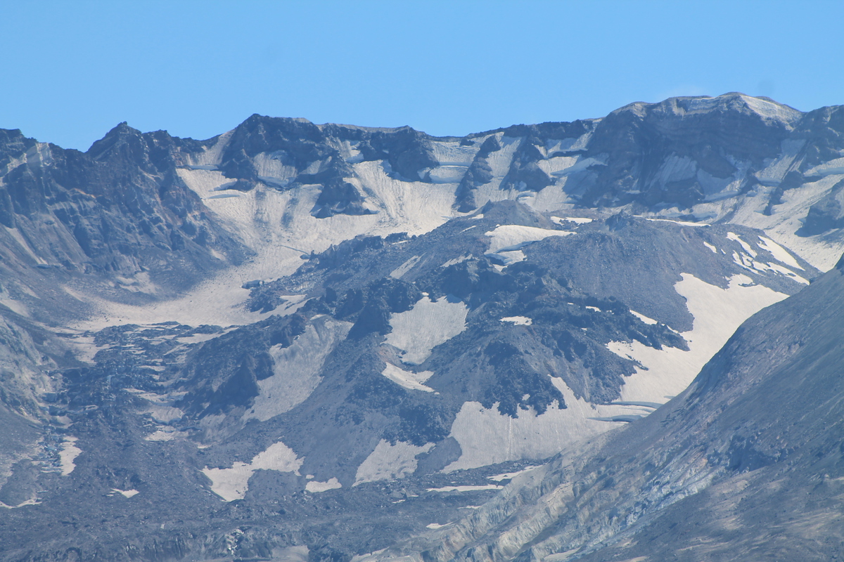
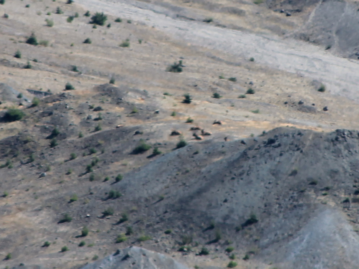
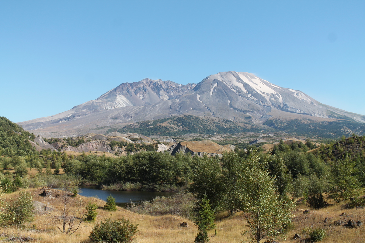
At Johnston Ridge, we took in the view of the crater. We saw the trunks of trees that were blown over by the blast of the 1980 eruption. I zoomed in on the lava dome inside the crater, but I wasn’t able to see any steam coming off of it. The docents said that steam is sometimes visible when the temperature is right. We also saw a small group of elk down in the valley. One of the docents had a small telescope so we could see them, but my 300mm zoom lens just couldn’t quite bring them close enough.

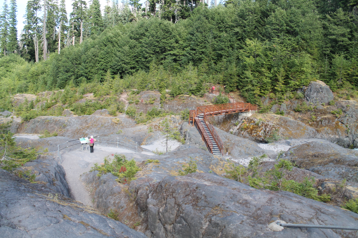
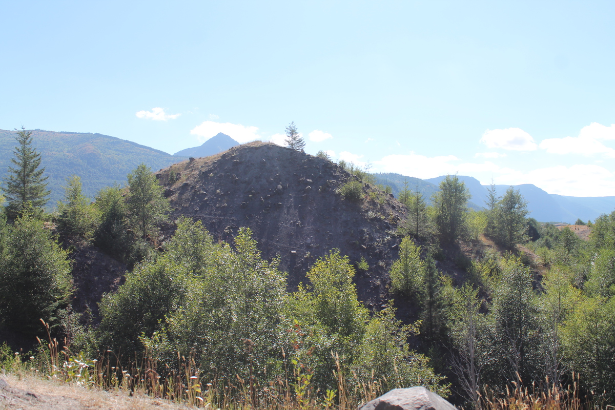
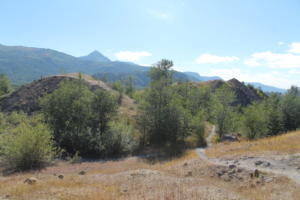
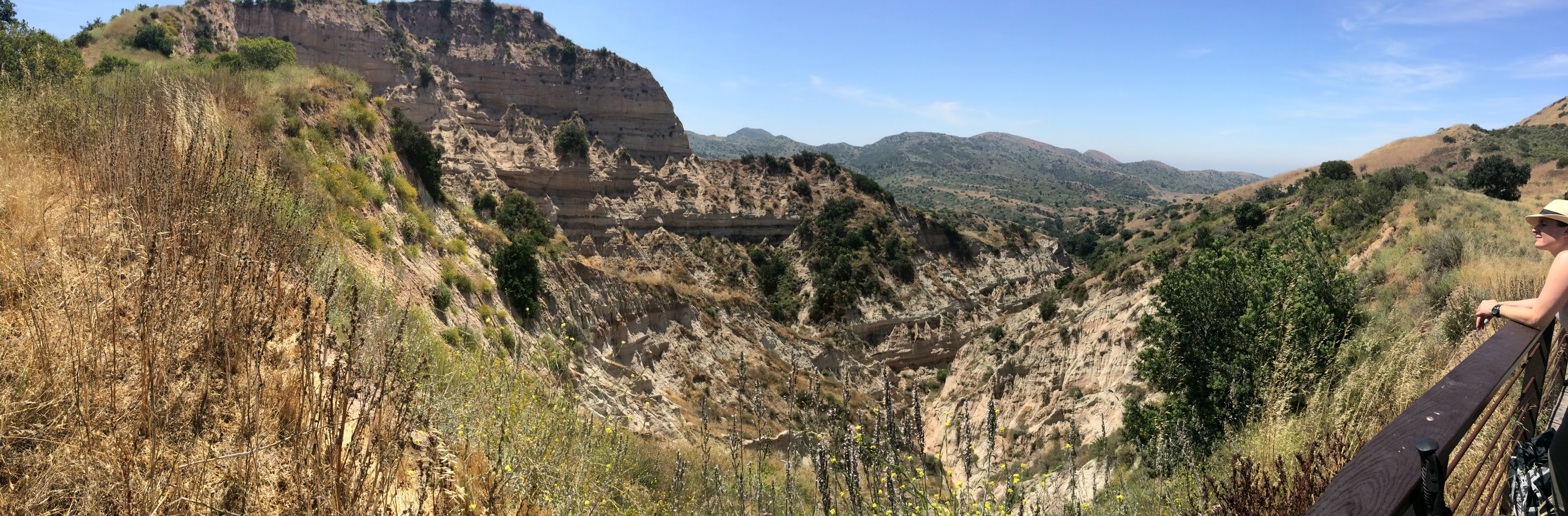
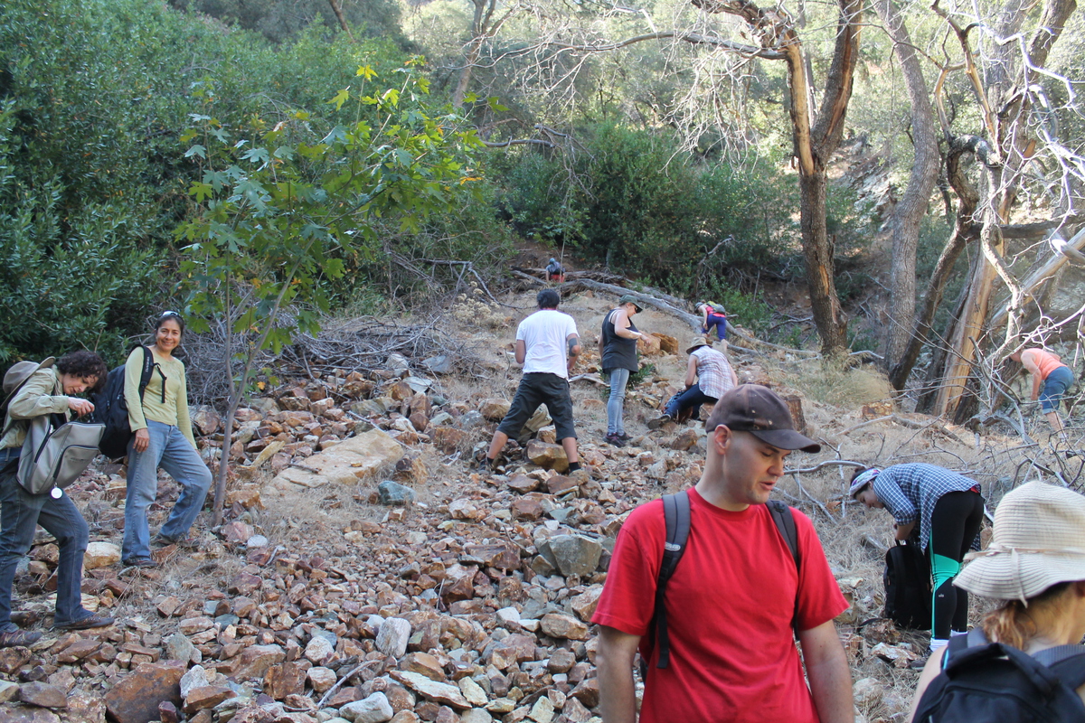
After taking in the view of the crater, we went back down the road to the Hummocks. There is a trail through this little bit of terrain so that we can see the little hills and valleys that were created by the front end of the big landslide that began the 1980 eruption. The trail was a bit over two miles, and it went up and down and around, with signs along the way explaining how the terrain there was basically created in an instant.

On the way back, we stopped for a moment to again marvel at the GMO-forest. The trees are all so identical that looking at them made us feel like our eyes were going blurry, even when they were perfectly focused. It was impressive in a weird way.

Route map of the Hummocks Trail

7/8/2017

Mt Baldy, 2017

Filed under: — stan @ 8:06 pm

I’ve been trying to get Lucinda to go and hike Mt. Baldy with me for a while. And since she’s off to college in the fall, today seemed like a good day to do it. The plan was to start at Manker Flat and take the Bowl trail up, and then come down by way of the Devil’s Backbone and the Baldy ski area service road.

It was going to be very hot down in the valleys today, but it was pleasantly cool at 6,100 feet at Manker Flat. We hiked the first 2 1/2 or so miles to the ski hut, and we took a break there. Then the trail went across the bowl, and then up the steep side of the ridge. We rested a bit at the top of the ridge, and then started up the last 1,000 or so vertical feet to the summit. At that point, we weren’t going very fast. But we were still moving. I kept an eye on the GPS to see when we were close to the summit. When we got there, we took the obligatory picture with the plaque, and then we sat down and had lunch.

After resting a bit and looking at the view, we started back down the ridge. I made a point of taking a picture of Lulu on the knife-edge ridge part of the trail.

We finally made it down to the ski lodge, where we got some ice and cold drinks. We briefly considered taking the chairlift back down, but in the end, we both wanted to actually do the entire hike. So we started down the service road. The road isn’t very steep, so we were able to make good time there, and it only took a little more than an hour to do the 3 1/2 miles back to where we started. It was a long and tiring day, but it was fun. And it was a nice treat to spend the day with Lucinda.

Route map and elevation profile

6/3/2017

Limestone Canyon and The Sinks

Filed under: — stan @ 3:15 pm

The May issue of the AAA “Westways” magazine had a short feature about things to do in Orange County, and one of them was to visit Limestone Canyon Nature Preserve, which is just off Santiago Canyon Road. I’ve been by there many times, and I never even knew there was something like that there.

They spoke in particular about The Sinks, which is a place that people say resembles a small Grand Canyon. So of course I wanted to go see it. I recruited Jen from the office to come along, and we were on our way.

We hiked out by way of the Limestone Ridge trail. In the end, this turned out to have been a good choice. We had a nice marine layer in the morning, so it was overcast and cool for the first part of the day. That was where we saw the small gopher snake sunning itself on the trail.

We finally made it out to the first overlook point, where there was a small viewing platform to look into the Sinks. We looked and took a few pictures before starting back. We stopped at the spot of shade under a tree for a bit before we turned off on the trail to get to the viewing platform on the other side of the Sinks. Going to the second overlook added about a mile to the hike, but it was entirely worth it. The view from the second platform was clearly better than from the first one.

We came back by the trail through the canyon. By this time, the sun was out, and it was pretty hot. So it was good that we were down in the canyon for the trip back. There were a fair number of trees there, so there was some shade. The only bad thing was that I’d forgotten a hat, and I actually got a little sunburned on my neck. That was kind of shocking, since it’s only the fourth time in my life that I’ve ever been sunburned. I know that sunburn is just a normal hazard for most people, but it’s pretty unusual for me, so whenever it does happen, it’s pretty disconcerting. Still, it was a pretty nice hike, and a chance to visit a place I’d never heard of before.

Route map and elevation profile

6/25/2016

Strawberry Peak At Last

Filed under: — stan @ 5:46 pm

There is a tendency of people in Los Angeles to regard the San Gabriel mountains as being like sort of a painted backdrop to the city. I know that I tended to think of them that way when I first moved here in 1982. But one day, my friend Gordon mentioned going hiking in the mountains, and I realized that these mountains were a real place where we could go and actually get out in actual nature.

My first-ever hike in the San Gabriels was Strawberry Peak via the Colby Canyon trail, which I climbed with Gordon in January, 1983. I liked it a lot. The trail was interesting and entertaining, and the view from the top was pretty amazing. I went back there again by a different trail in the summer of ‘83. In the summer of 1986, I hiked up Colby Canyon to Strawberry Peak with my mother and my cousins Irene and David. And that was the last time I was at the top of the mountain. I made an attempt in the summer of 2007. And I made two attempts with my hiking partner Karina in January and April of 2015. None of those trips made it to the top. But today, I finally made it back up there again.

Today’s trip was with Jen, who is the new Staff Seismologist at Caltech. She came into that position after Kate Hutton retired. I told her about the trail, and she was game to try it. So we headed up into the mountains and hit the trail. The first two miles were pretty easy, just walking up the trail to the saddle between Strawberry Peak and Josephine Peak. We stopped there to sit in the shade for a bit before striking out for the summit. The trail went up the crest of the ridge, and it included two sections of steep rock climbing.

We got to the first rock section and climbed up it. Then we followed the ridge for a while before reaching the second section of rock. The second was much longer and harder than the first. My memory of this trail was that it was interesting and entertaining, but this time, I was just marveling that the climb was about ten times harder than I remembered it being. I think that this is effect of 30 years passing since the last time I did it. We made it to the top, but I was the laggard here. Jen just scrambled up the rocks and left me behind. I was carefully picking my way, and moving very slowly. I think that was largely why in the end, the hike was a bit over six miles, but it took us seven hours.

At the top, we sat down and had lunch while looking at the view. We were up there for about a half-hour before heading back down. And the climb down the rocks was an exercise of carefully picking hand and foot holds. Again, I was the slow one, and I blame old age for my perhaps excessive caution. But we made it down the rocks all right, and made it back to the saddle and the water tank where we got to sit in the shade for a few minutes before heading back down the canyon trail. The last two miles down the canyon went pretty fast. I kept thinking about the bottle of ice water that was in the cooler in the trunk of the car. But when we finally got there, the formerly-iced water was warm. I guess it really was that hot today. Despite that, it was a fun time. And I finally made it up to the top of that damn mountain again, for the first time in 30 years.

Route map and elevation profile

8/29/2015

Rock Hunt with Atlas Obscura

Filed under: — stan @ 2:50 pm

Today was yet another little adventure with Atlas Obscura. Today it was Rock Hunt: Rubies. This was a short hike to a rock slide where the many of the rocks have corundum crystals embedded in them.

The night before, the organizer emailed us the location to meet. It was a bare set of lat/lon coordinates, which turned out to mark the location of a turnout off Mt. Baldy Road above Claremont. I put them into Waze, and it worked out how to get there. At the start, our guide passed around some rocks for us to look at so we would know what we were looking for. Then we headed out. We walked a short distance down the road to a small road that branched off down into a canyon. At the bottom, we took a trail that led us down to the river at the bottom of the canyon. Since we’re in our fourth year of drought here, the river was very small. We were even a bit surprised to see running water in it at all. We hopped across on some rocks and kept walking.

In a bit less than a mile, we got to the hillside with the rockslide. We all just sort of picked a spot and started digging and breaking rocks. In about ten minutes or so, I found my first ruby crystals. Once I’d found the first one, it was pretty easy to find more. We stayed there for about two hours, and in the end, I had about ten pounds of rocks collected.

On the way back, we stopped at the blackberry patch. Looking closely, we saw quite a few blackberries on the bushes. Most of them were just out of arm’s reach, but there were some we could reach, and they were very tasty. This was an interesting and entertaining little adventure.

The one final bit of drama was on the freeway going home. Traffic stopped suddenly, and up ahead, I could see there had been a spectacular truck accident, and the CHP had temporarily completely blocked traffic in both directions. Most of the wreck was on the other side, so our side was only stopped briefly, but it was still dramatic-looking.

Page 1 of 3123»

Powered by WordPress