Stan’s Obligatory Blog

Page 3 of 3«123

9/20/2014

Mt Lukens

Filed under: — stan @ 3:20 pm

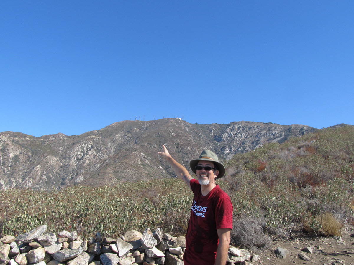
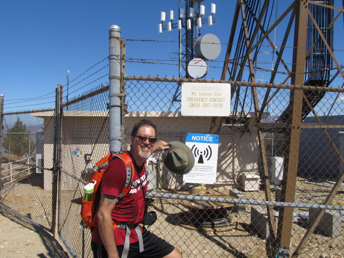
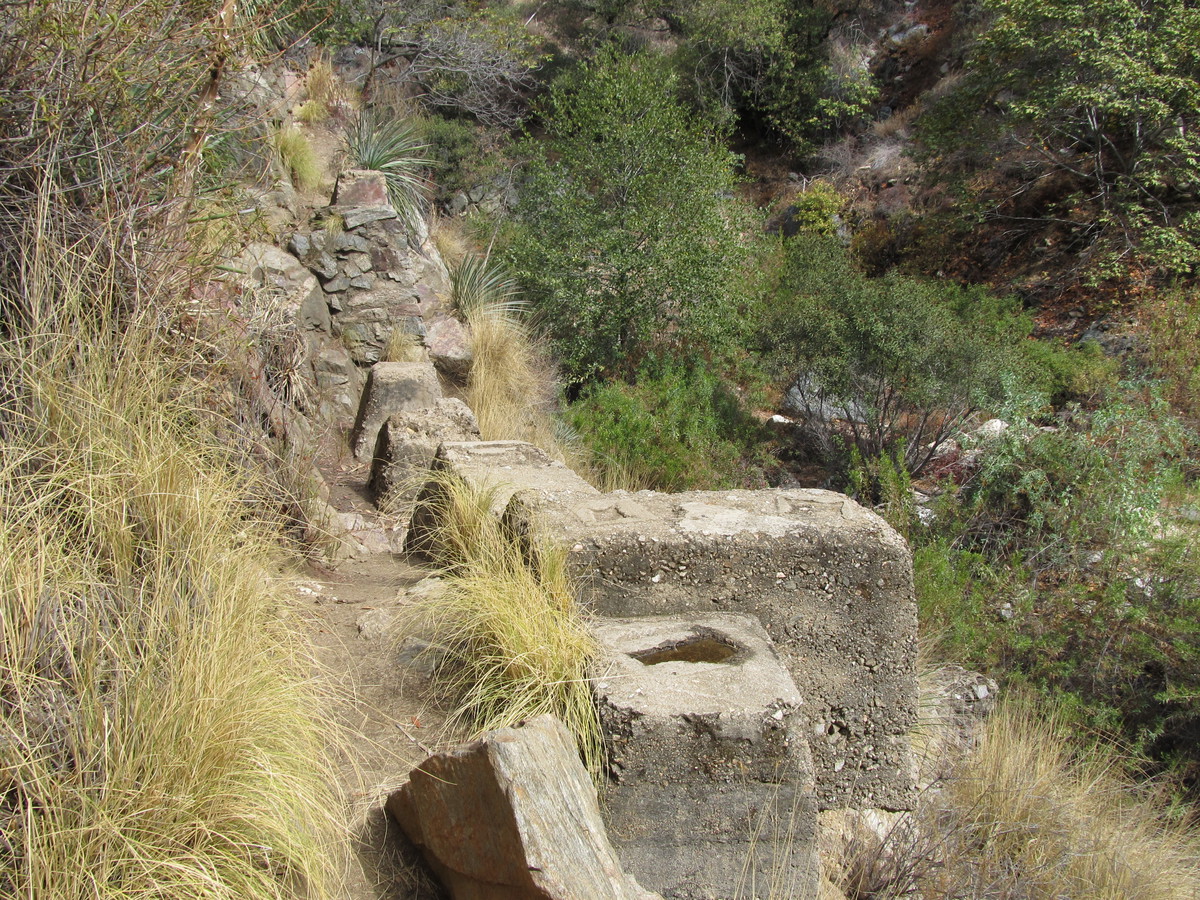
Mt Lukens is the highest point within the city limits of Los Angeles, and as such, it’s home to a lot of communications equipment for the Department of Water and Power, and other things like that. Since the seismic network uses some of the DWP network, we have a microwave link up there from the Seismo Lab. So I was curious to see it. I read a post on a hiking blog about climbing this mountain, and it sounded like a fun hike.

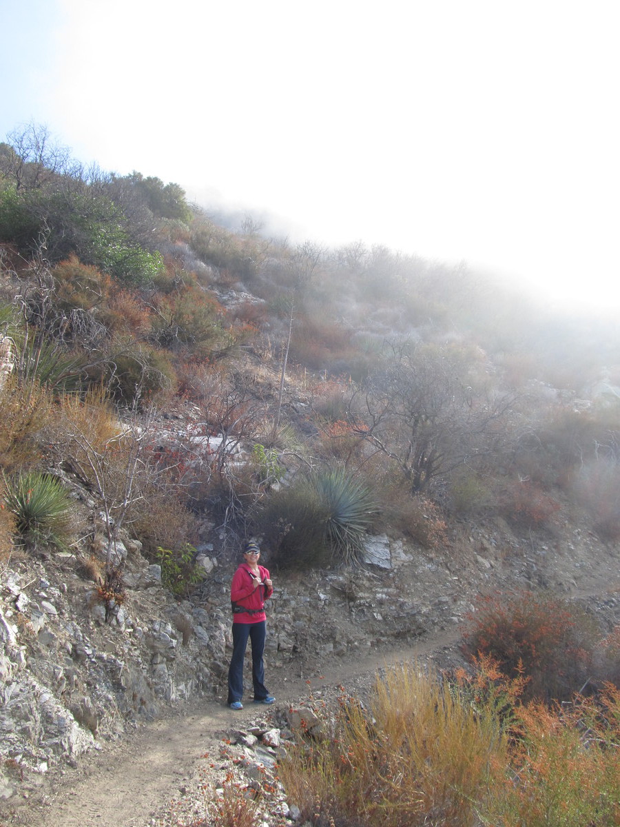
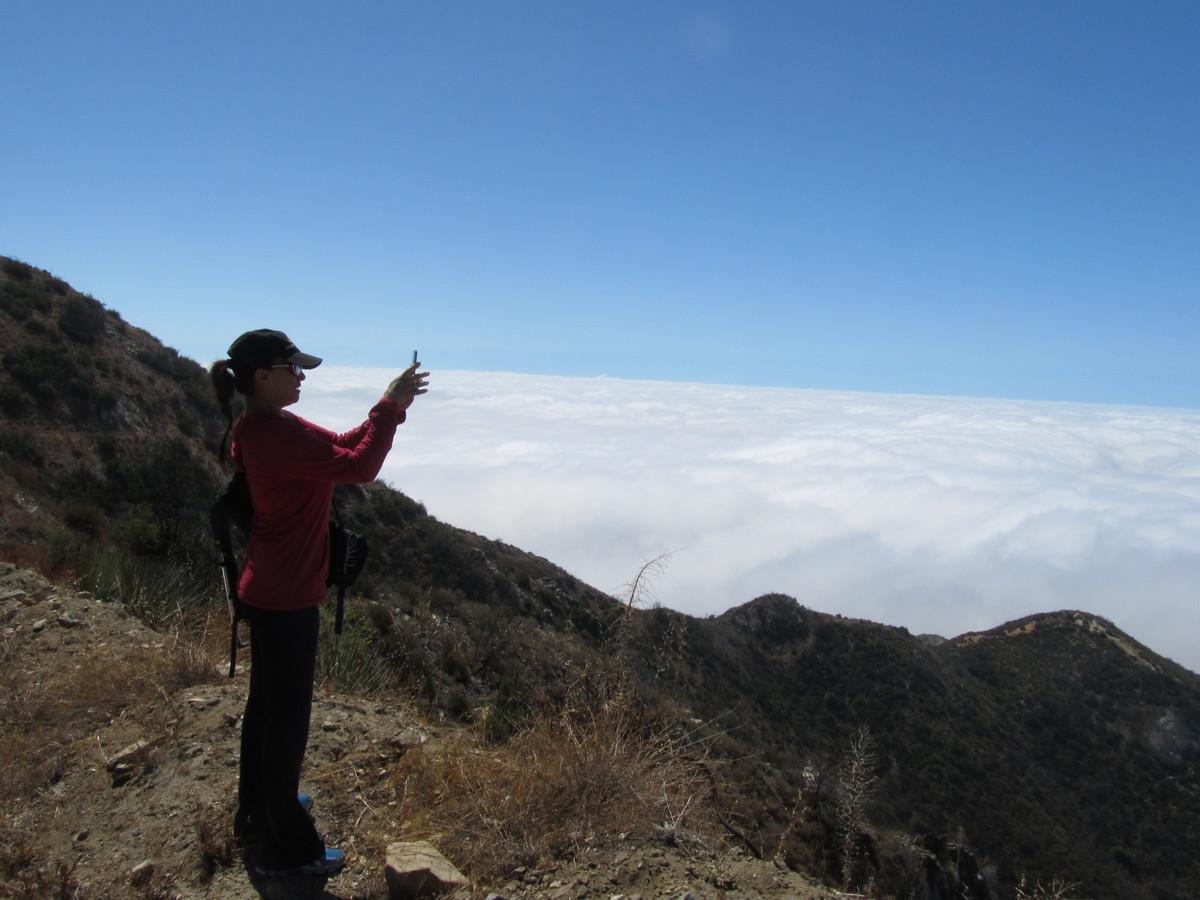
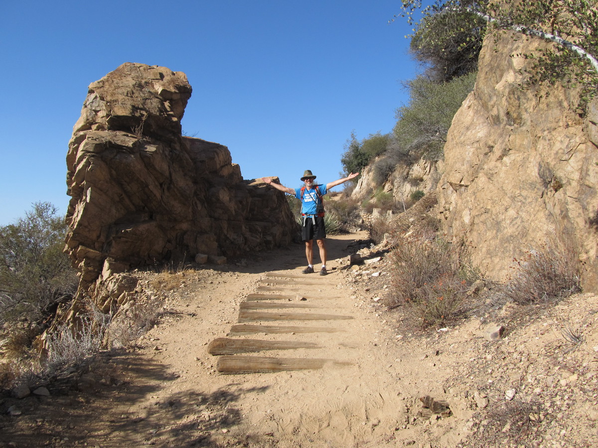
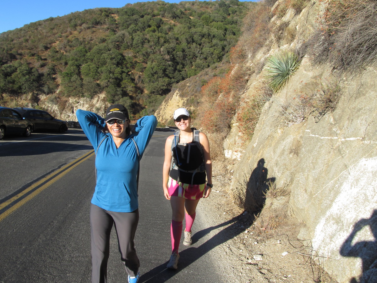
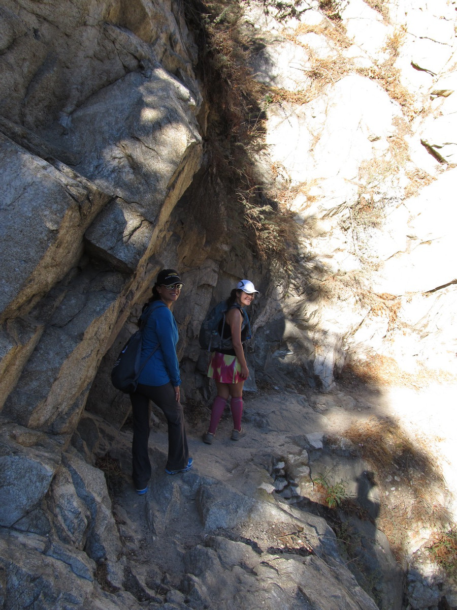
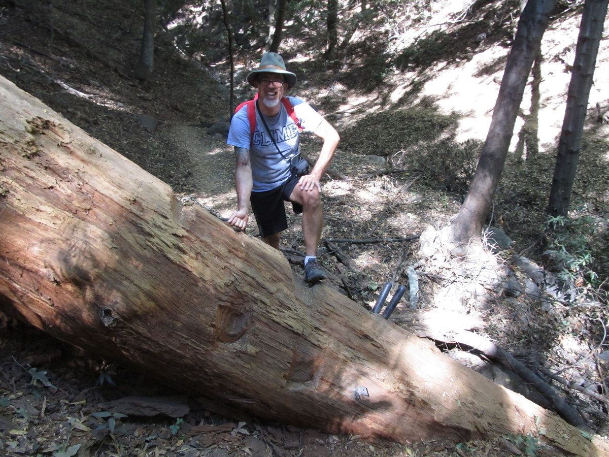
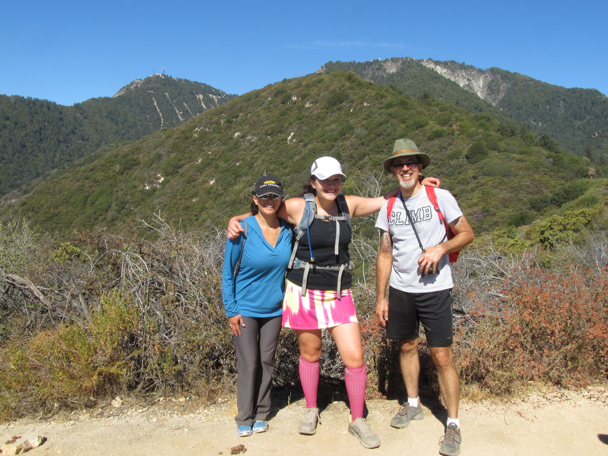
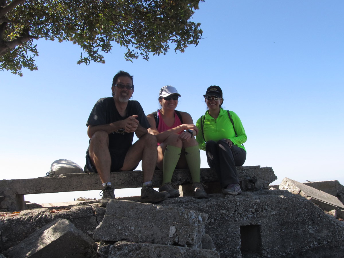
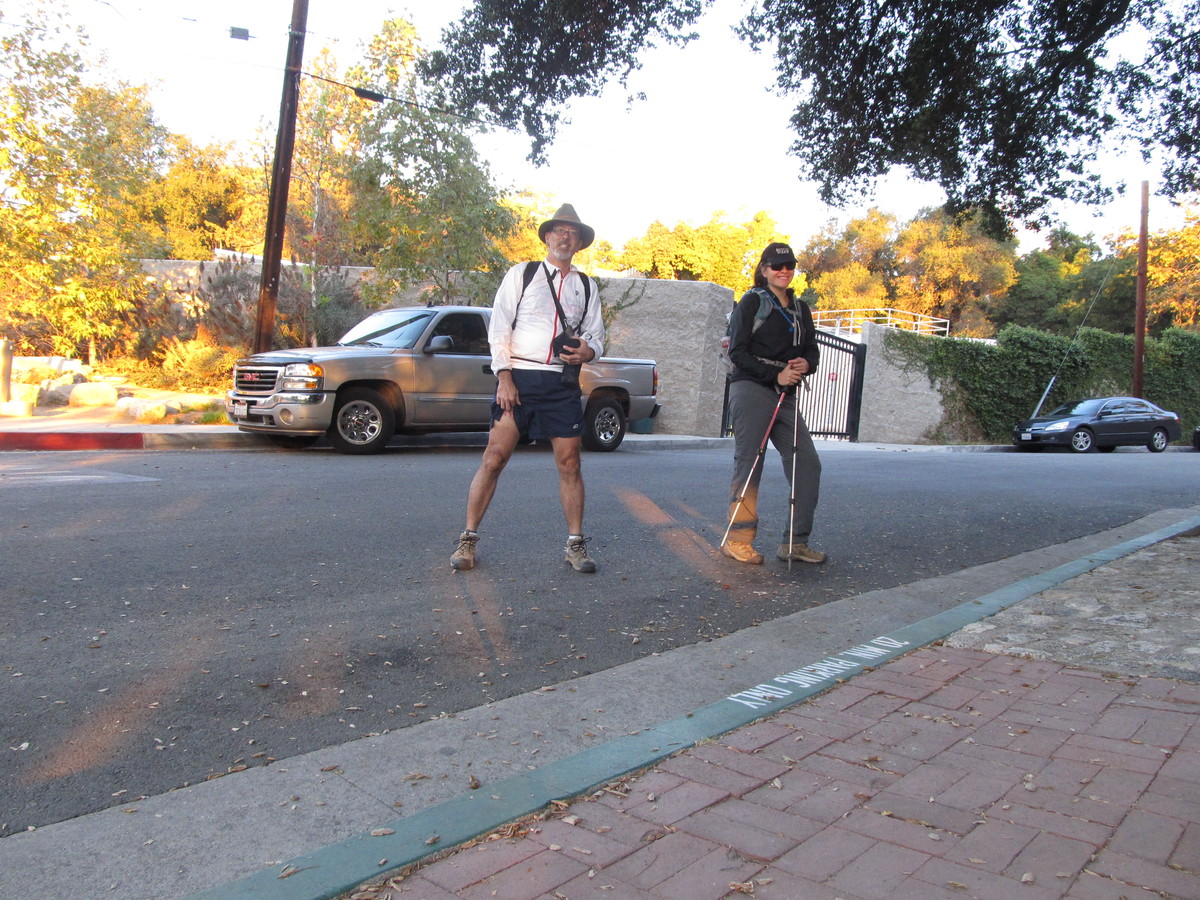
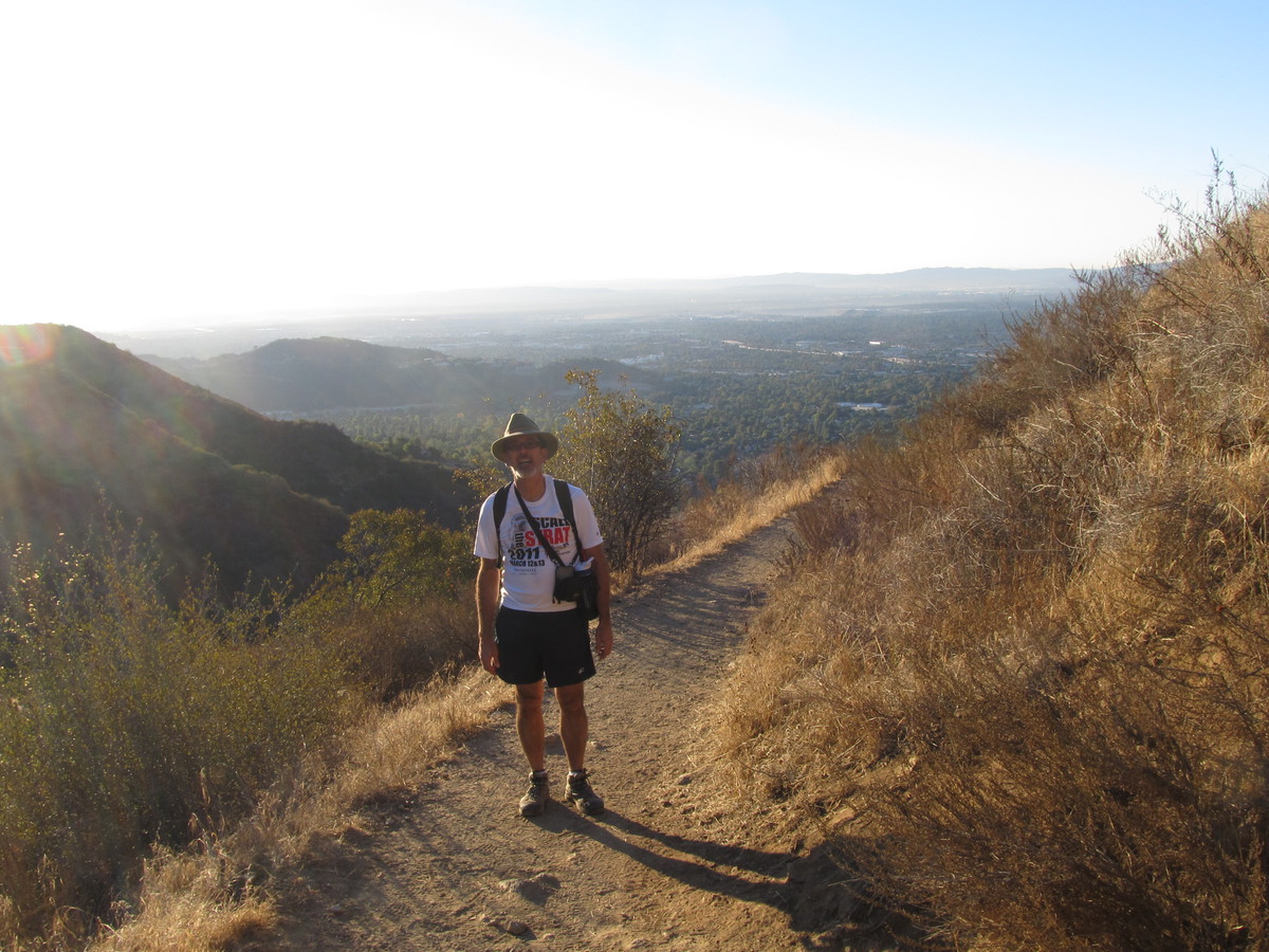
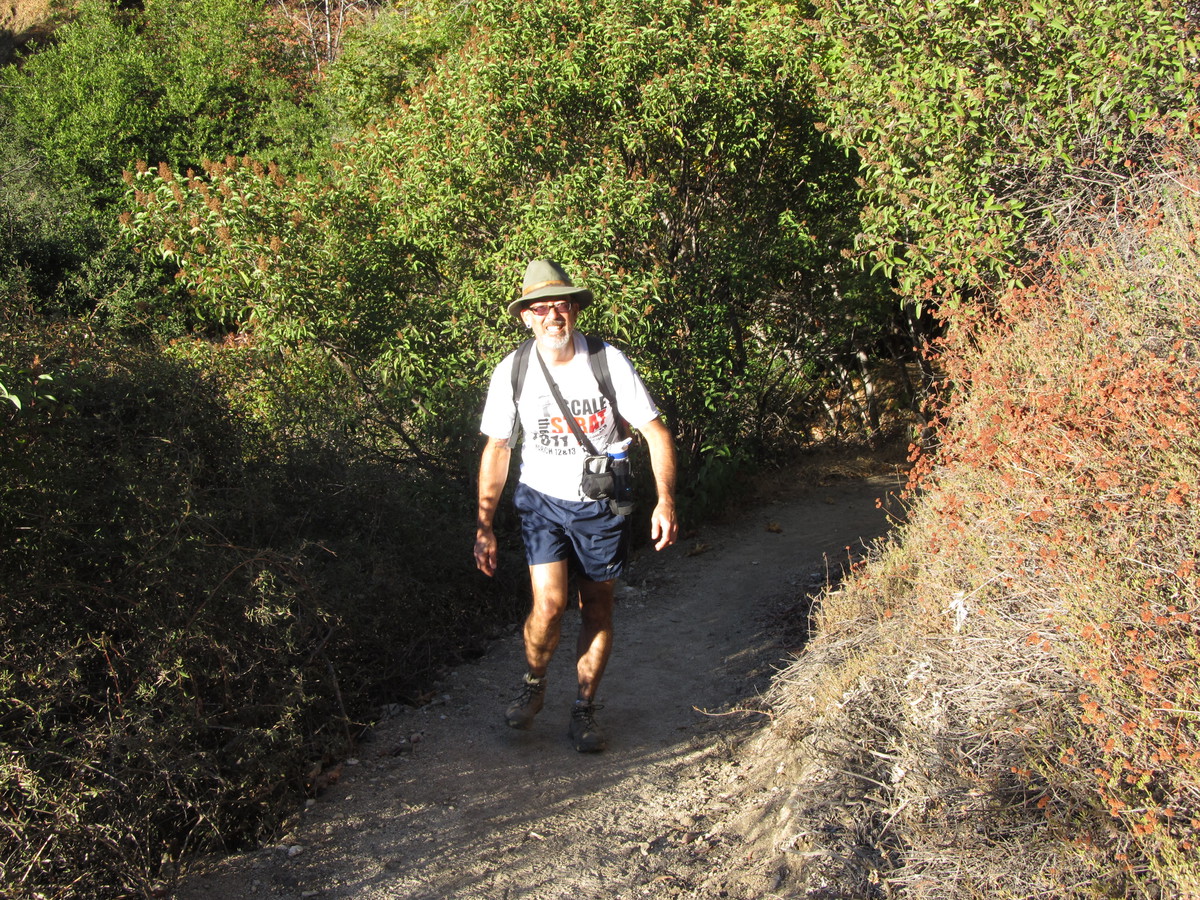
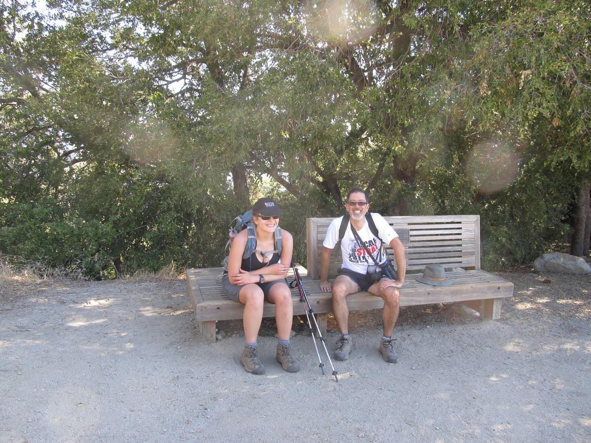
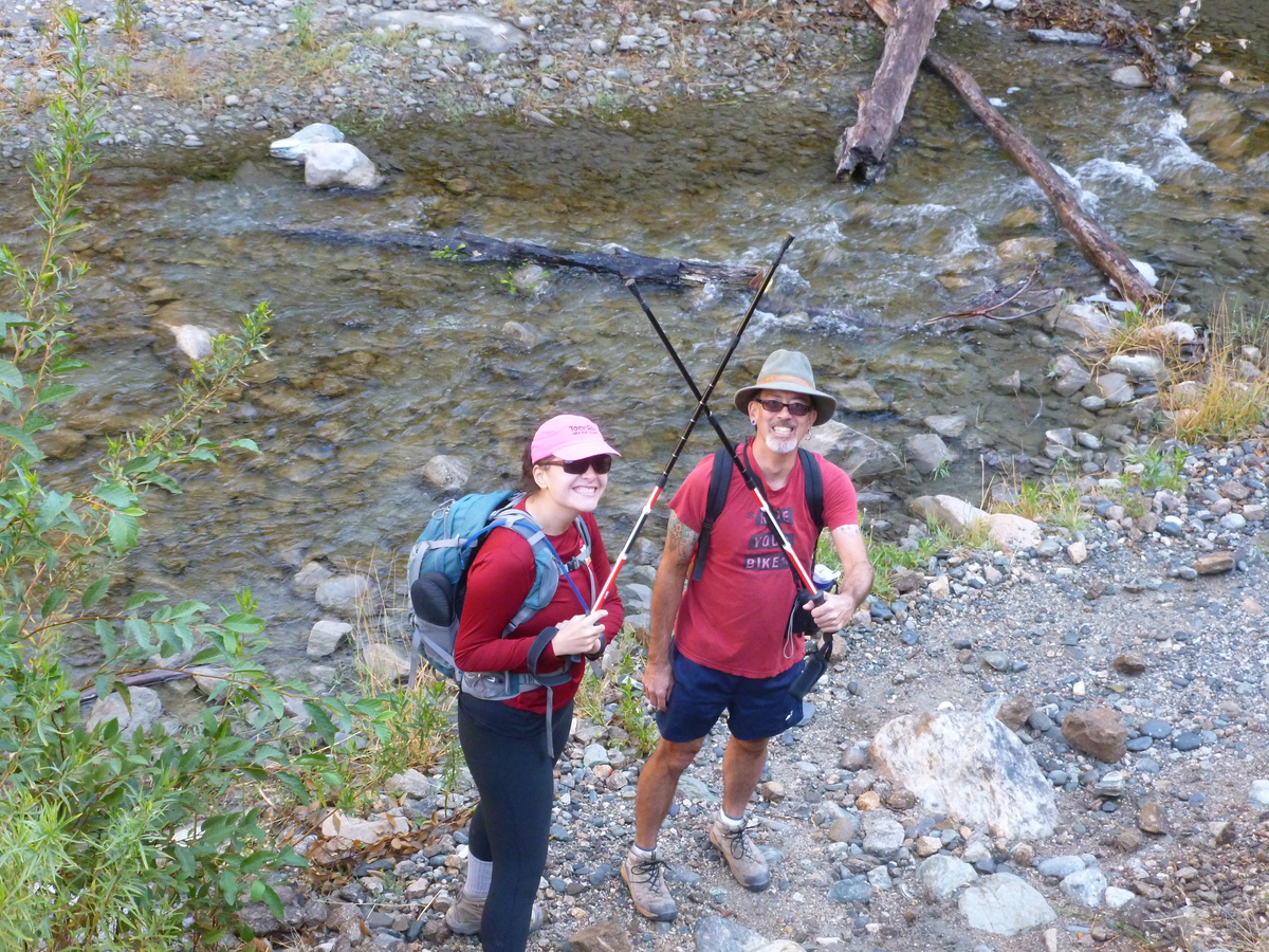
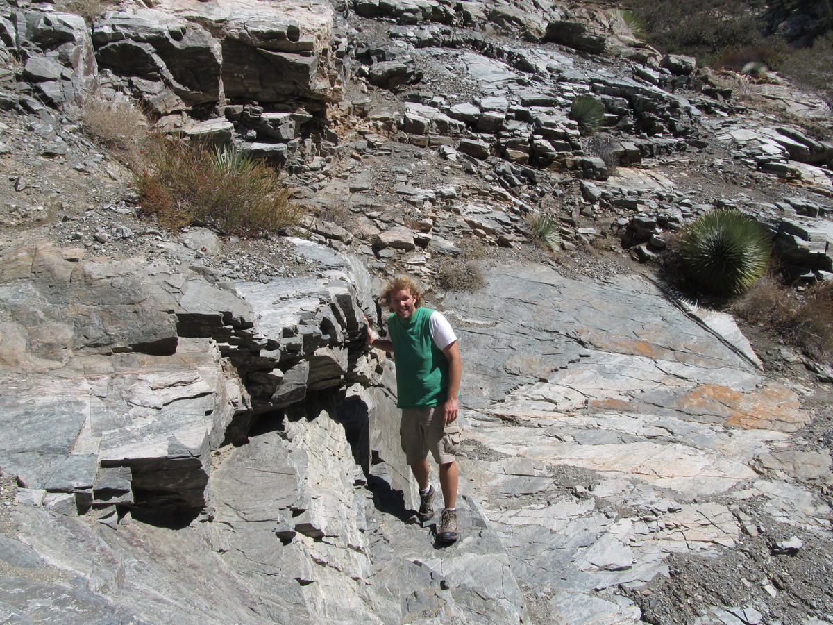
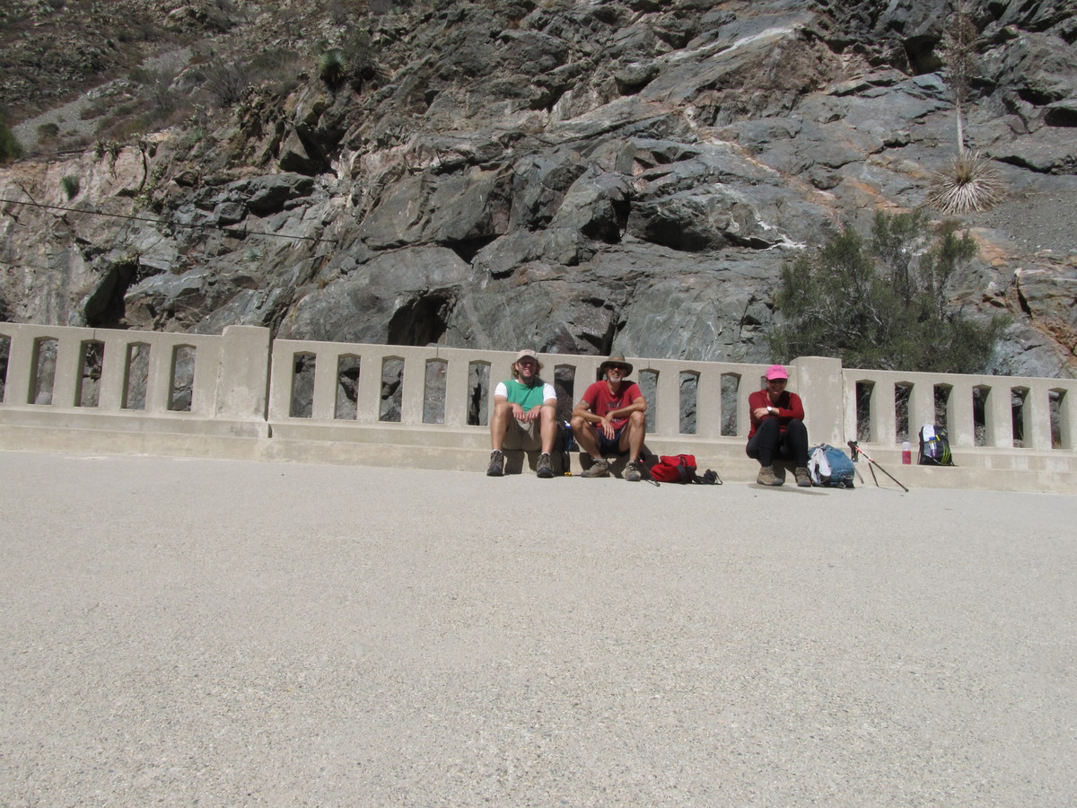
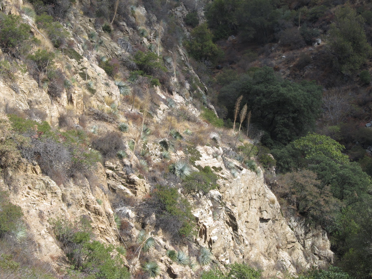
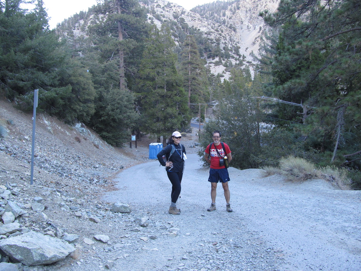
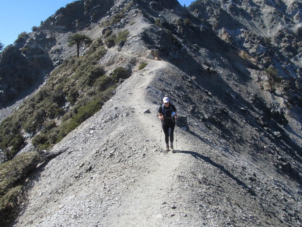
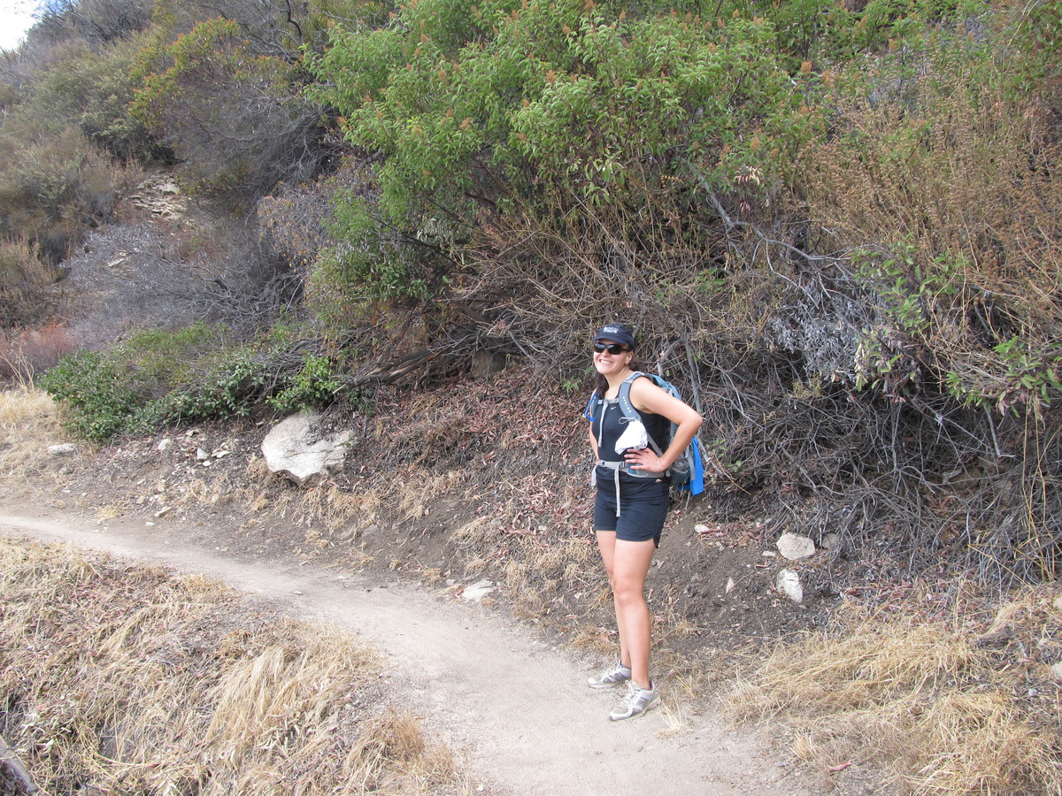
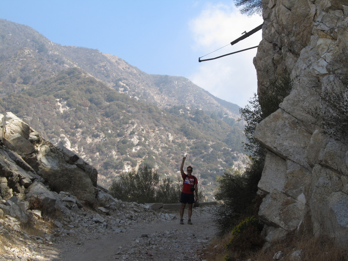
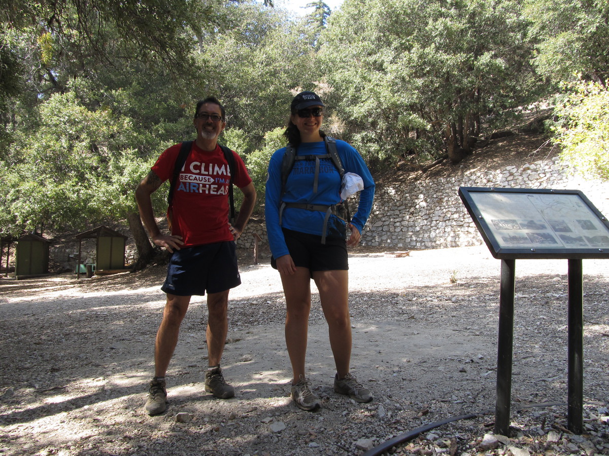
Karina is training for the New York Marathon, so she was busy going running, so Kathy and I did the hike. We started out from Deukmejian Wilderness Park in Glendale. The trail started out up the wash in the park, but quickly turned right and went up a steep ridge. The first couple miles were very steep, and pretty soon we were above the clouds. It was kind of gray and overcast down below, but it was a perfect day up on the mountain.

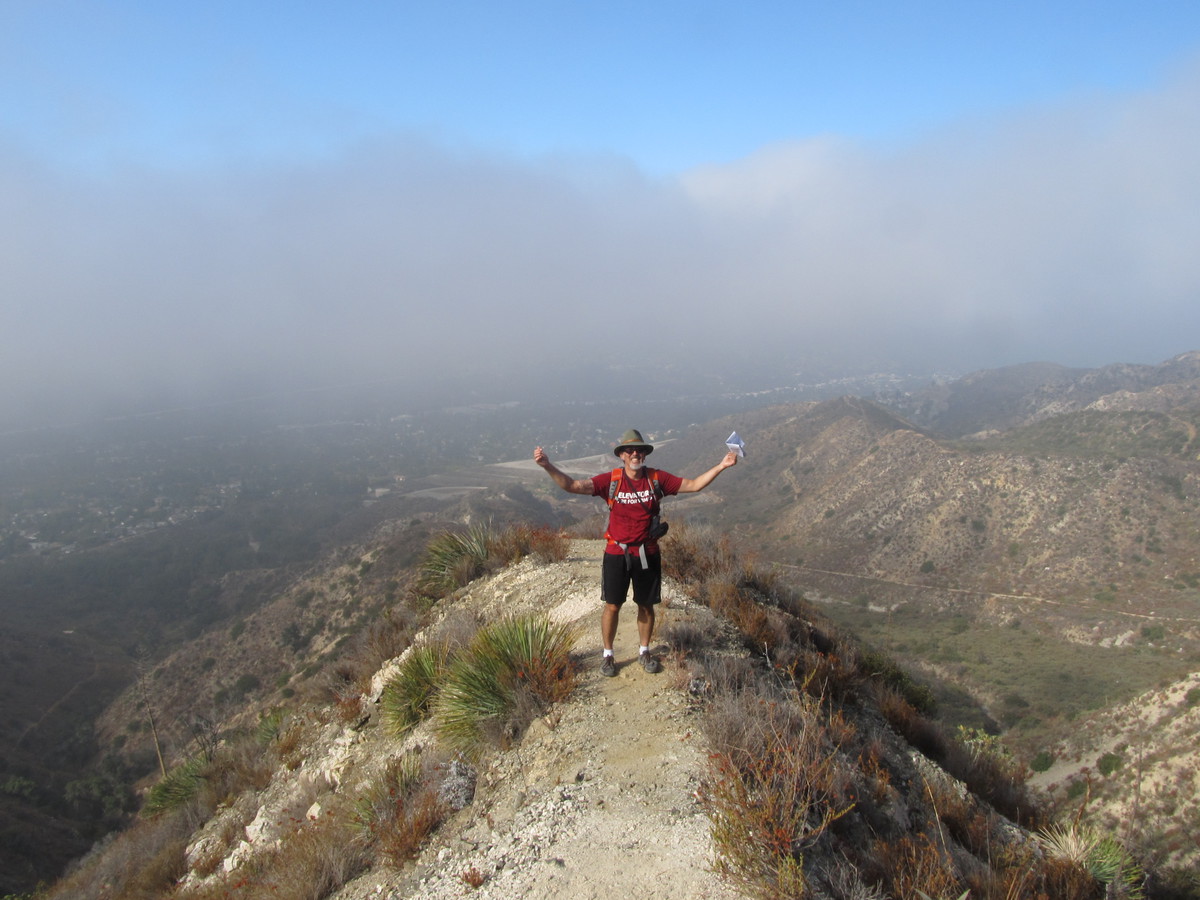
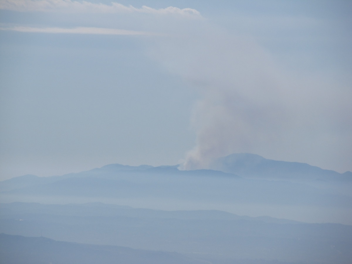
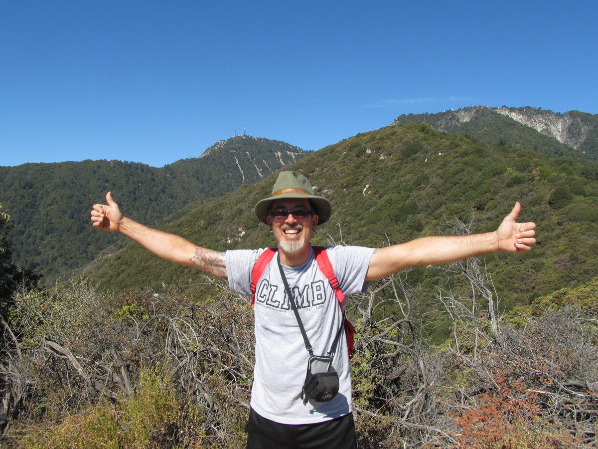
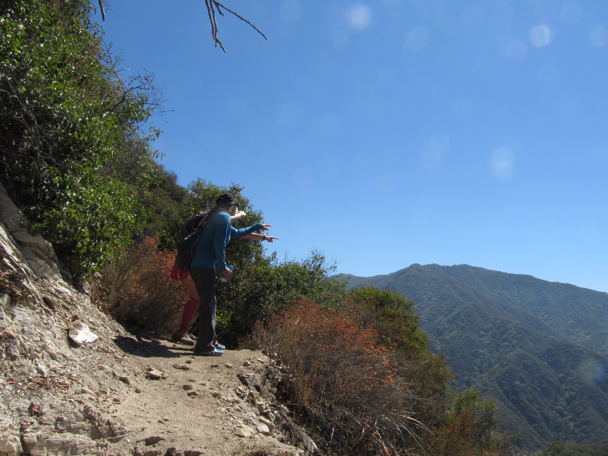
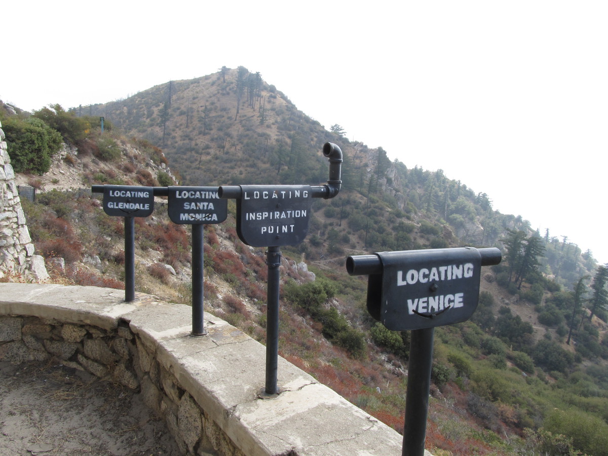
At the top of the ridge, the trail turned into a fire road for a bit along the top of the ridge before we met up with the Mt Lukens road. From there, it was an easy mile or so up the road to the top. At the top, we spent a few minutes looking at the view. To the south, it was just clouds, with some other mountains poking up through them, and to the north it was clear.

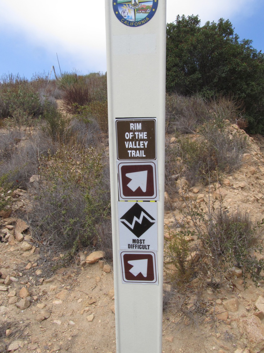
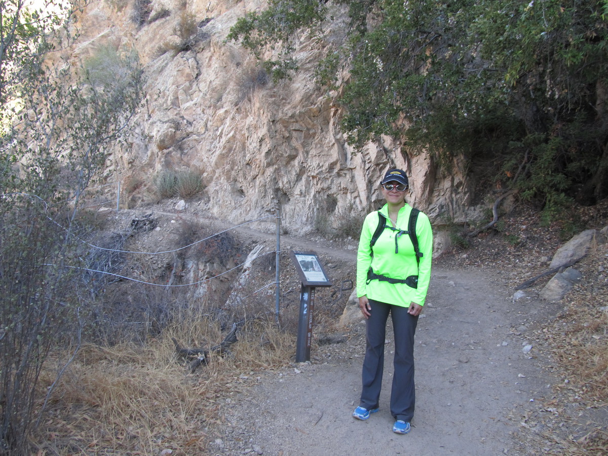
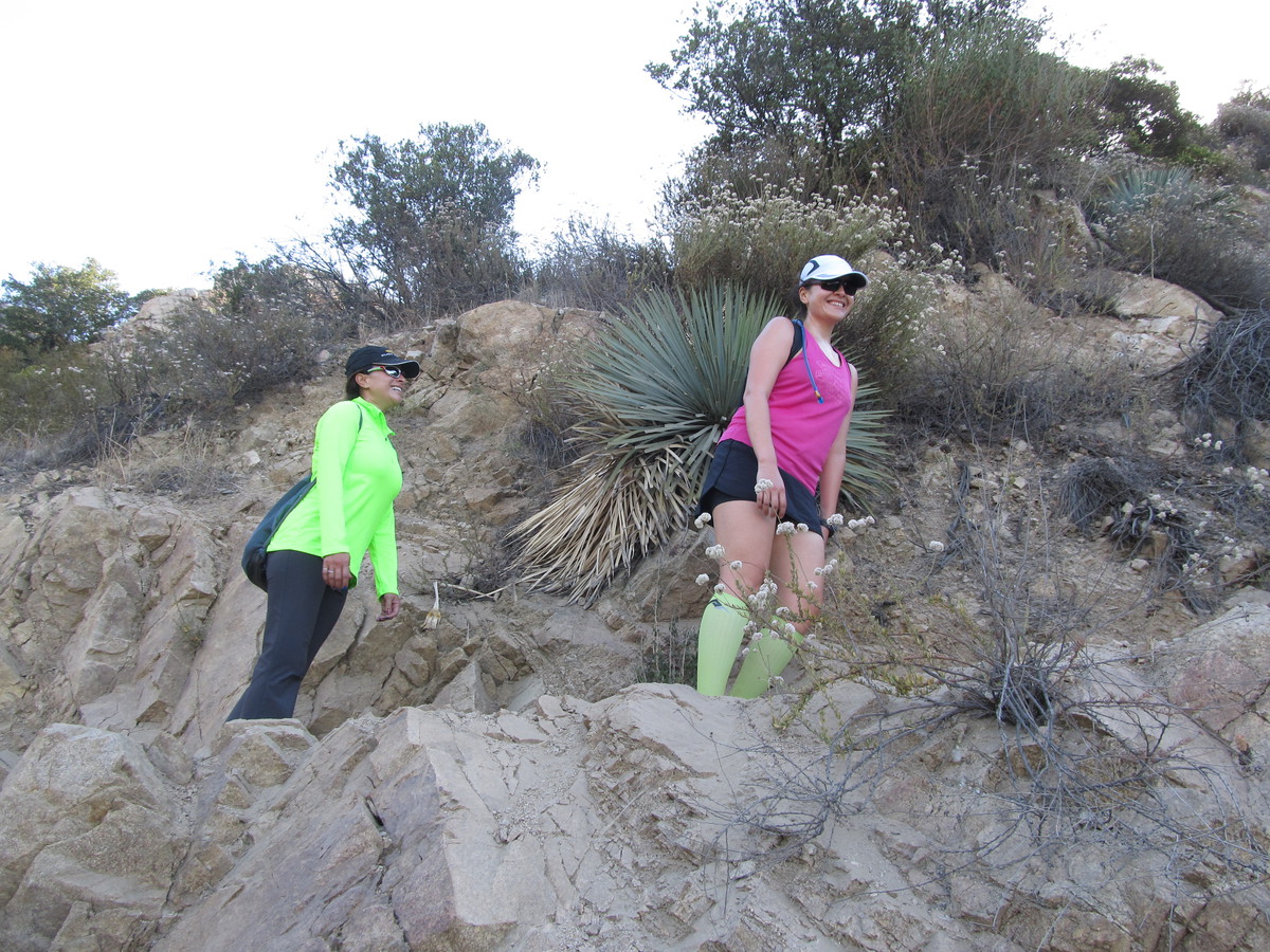
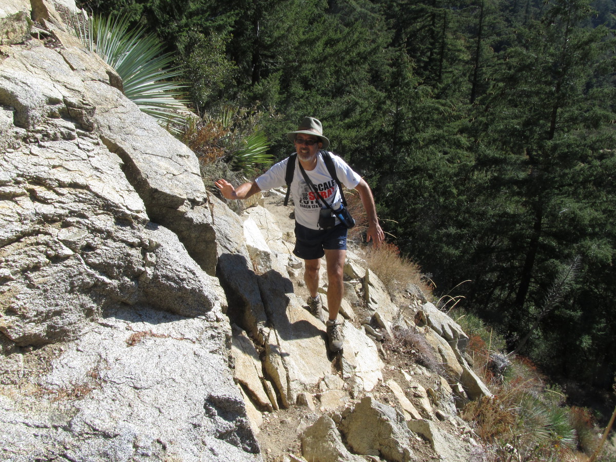
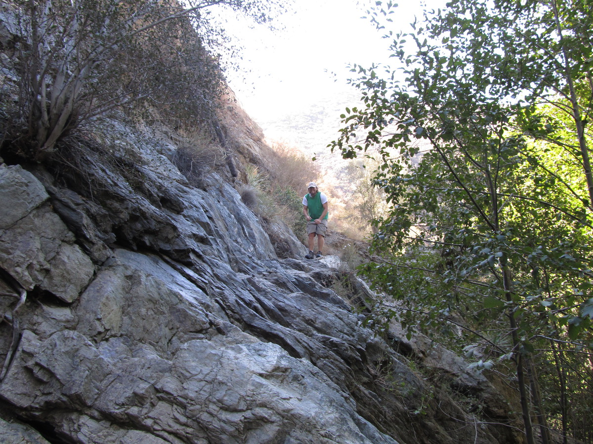
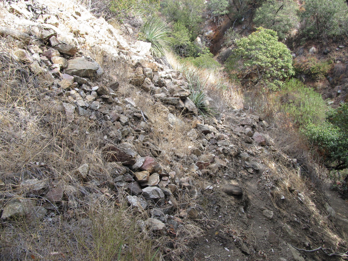
Going down, we took the Rim of the Valley trail, which came down a different ridge a bit west of the ridge we’d hiked up. The only really tricky part of the trip down was finding the turnoff, since the main trail goes down to Haines Canyon, and we needed to take the cutoff trail to get back to Deukmejian Park. The saving grace of the southern California mountains is that there are basically no trees, so it’s easy to see the different trails and where they go. So we turned off and headed down toward the park.

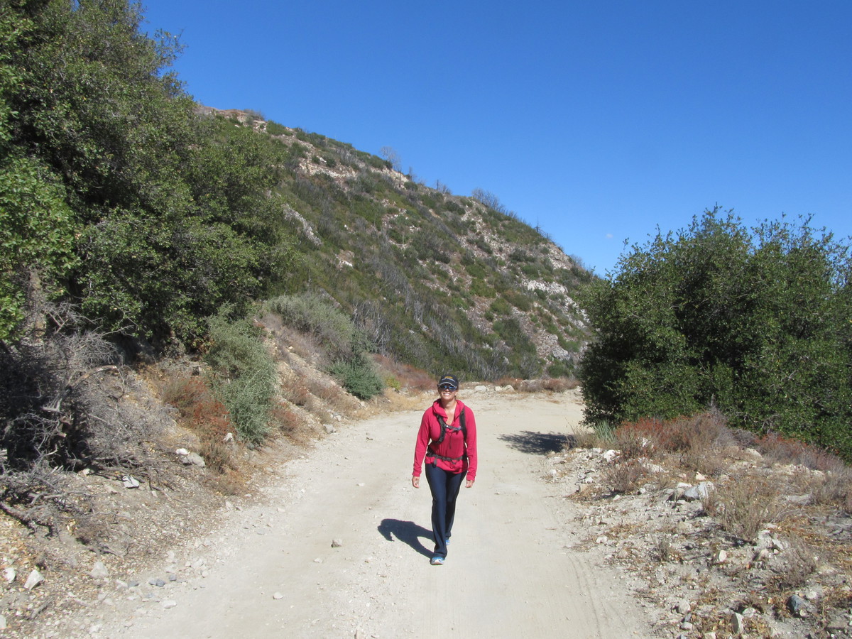
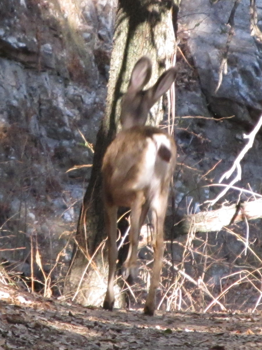
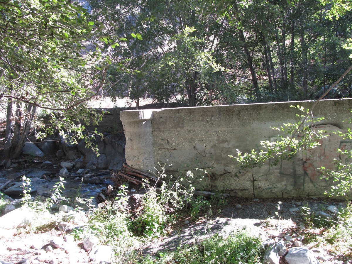
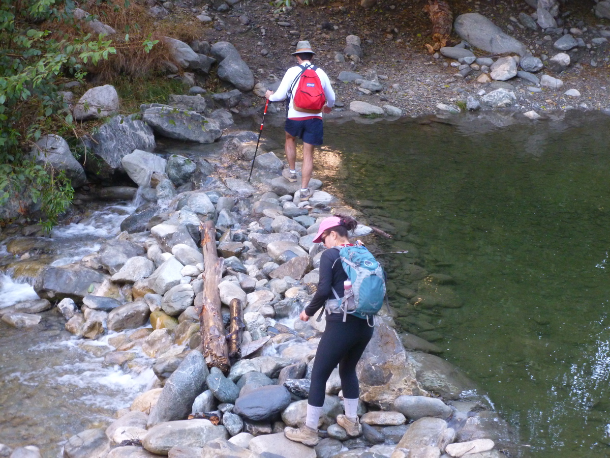
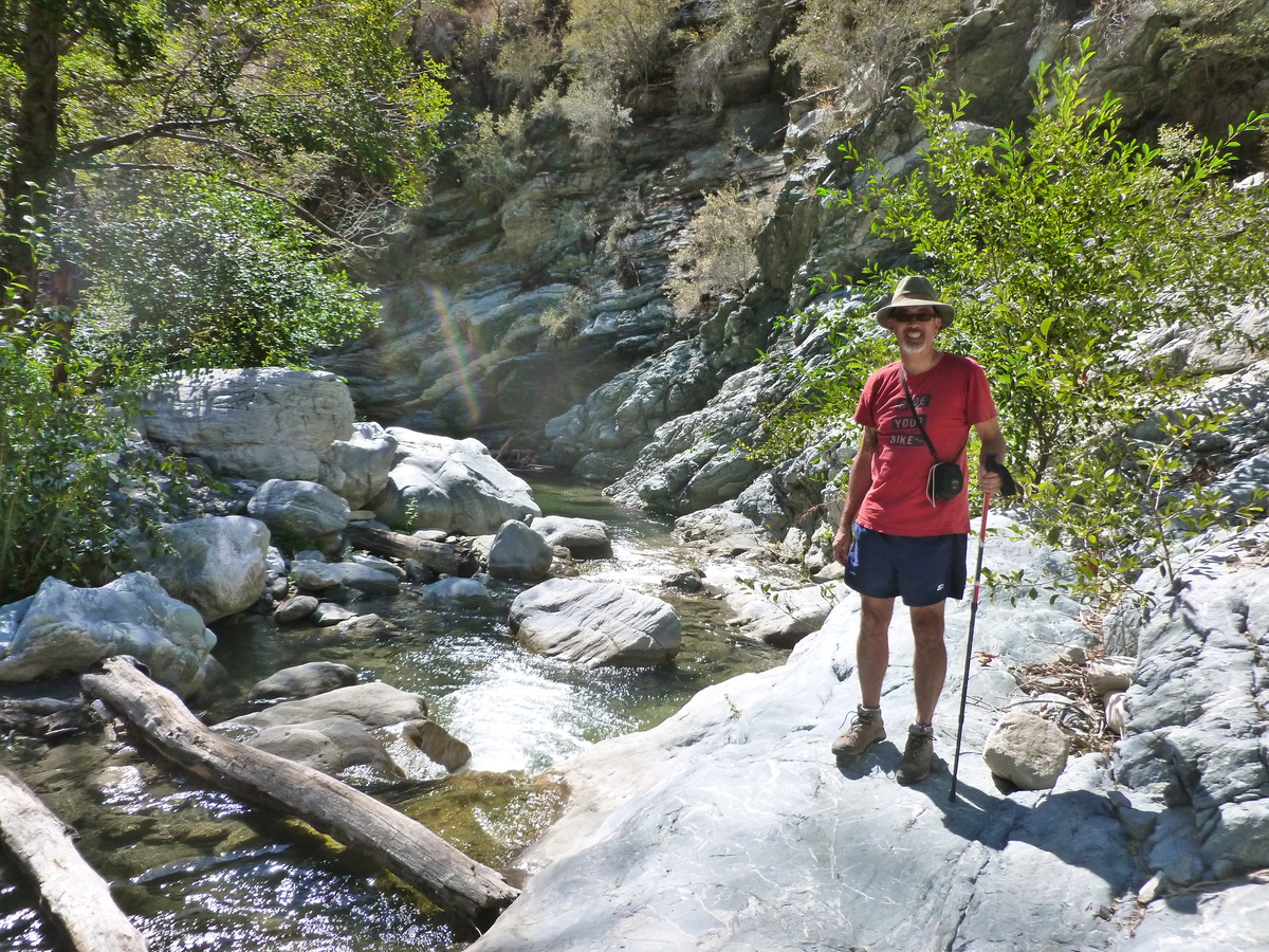
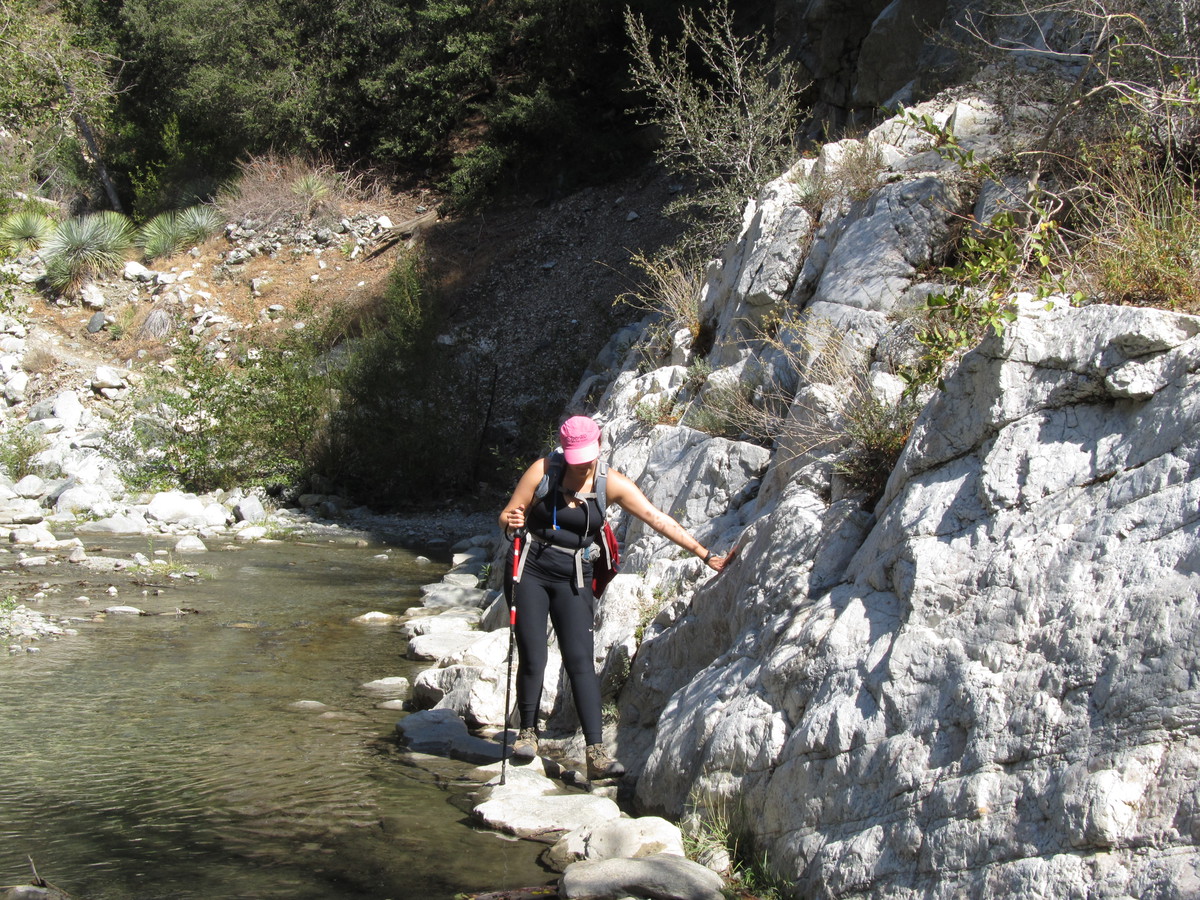
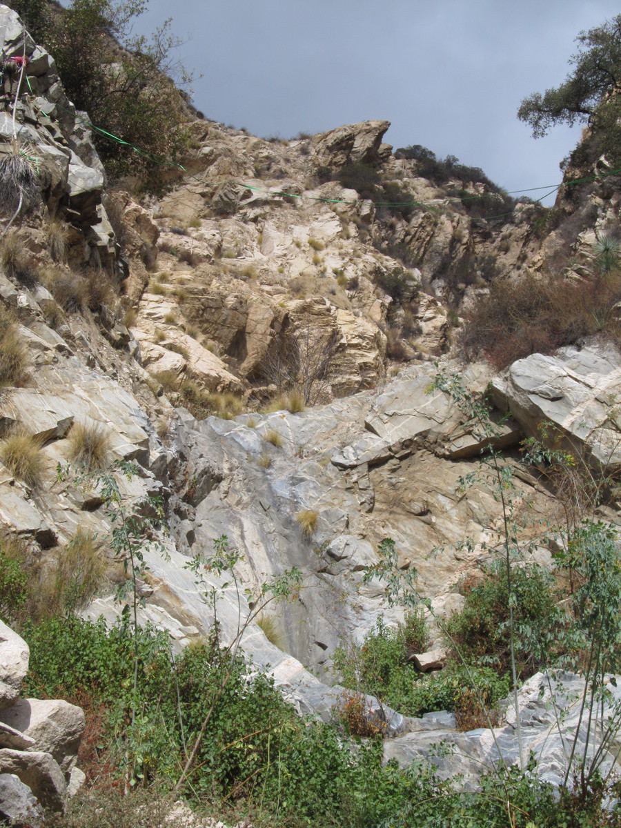
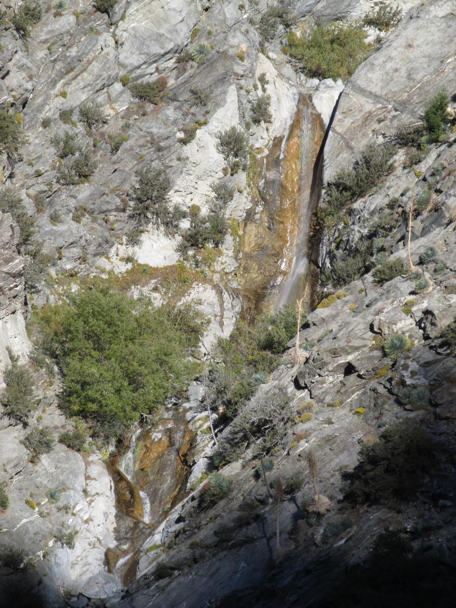
At one point, the trail went down into a canyon where there was actually a small stream. It was just a trickle, but it was actual running water. And there were big trees growing at the bottom of the canyon. From there, we had to climb up and out to get over the next ridge, and then we could see where we’d started. The last part of the route was an easy walk back down Dunsmore Canyon to where we started. In the end, it was nearly 10 miles in all, but it was a nice day, so it was a good time.

Here’s the route map: http://www.1134.org/routemap.php?xmlfile=mtlukenshike

9/13/2014

The Mt Lowe Railway tour

Filed under: — stan @ 12:26 pm

After doing the hike up Mt Zion two weeks ago, I was ready for more. Karina couldn’t go today, but Kathy could, so we made plans to meet up and do part of the Mt Lowe Railway tour. When I did this last fall with Karina, we walked up Echo Mountain and then all the way up to the location of the old Alpine Tavern. This time, the plan was to go not quite so far, but to make a loop of it.

We met up at the top of Lake Ave, by the Cobb Estate gate. From there, we walked down Loma Alta Dr to Chaney Trail and walked up that road to the actual start of the trail, which was the Sunset Ridge fire road. At the start, there was a sign with a map, showing the route of the old railroad, and some of the points of interest along the way. We took the fire road up the ridge to the Cape of Good Hope, where the fire road meets up with the old Mt Lowe Railway roadbed. From there, we turned and took the railroad route back down through Flores Canyon to Echo Mountain.

At Echo Mountain, we found a small spot of shade under a tree and had a look around. We were joined by Stella, who was hiking with another group. Like most dogs, she was happy to find a bit of shade to lie down in. Looking to the southwest, we could see the big plume of smoke from a brush fire burning in Silverado Canyon in Orange County.

On the way down, there was a sign asking for people to go to Facebook and ‘like’ the Friends of Echo Mountain. Apparently, if they get enough likes, they will get some sort of funding to do trail maintenance and other good things.

By the time we got down, it was getting pretty hot, but since we had started out at 7:15AM, it was only about 11:15 when we got down, so we missed the hottest part of the day. So overall, it was a fun hike.

Here’s the route map

8/30/2014

Mt Zion

Filed under: — stan @ 2:43 pm

After doing a short ’shakedown’ hike last summer, I think I’m up for hiking more again. So today was the day. I met up with Karina and Kathy and we headed up to Chantry Flat. Karina knows a route from there that goes up Santa Anita Canyon, over the summit of Mt. Zion, and then back down another part of the canyon. And perhaps most importantly, since Santa Anita Canyon usually has a small stream flowing in it, most of the route was through forest, so there would be shade.

We tried to get an early start, since parking is very limited at Chantry Flat. We got up there before 8:00, but we still ended up having to park about 1/2 mile back down the road. Then we started out, walking back up to Chantry Flat, and starting down the trail, which began with about 1/2 mile downhill into the canyon. At the bottom, we saw where the stream should have been, had we not been in the middle of an epic drought here. What was supposed to be a flowing stream was just a stream bed, with occasional little pools. Most of the bed wasn’t even visibly damp. Which is why I thought the guy with the fishing pole was being perhaps a bit too optimistic. But he did find a fair-sized pool, although I’m not sure there were any fish in it.

We hiked a good way up the canyon, and then we turned and headed up the side of the canyon, toward Mt. Wilson. There was a little side trail that went up to the top of Mt Zion, which was nice. it was one of the few times we came out of the trees and got a view. After that, we went back to the trail junction and sat down in the shade to have our lunch.

The trail back switchbacked down the south face of Mt Zion. There were some spots where there was a view, which was nice, but it was also getting pretty hot by then. At the bottom of the canyon we came through Hoegees Campground, and a bit farther along, we saw a small cave in the rocks. I went in it a bit just to see how far it went. Finally, the trail came out back at the junction at the bottom of the canyon, below Chantry Flat. From there, we had to walk back up to the road, and then down the road to where we’d parked. In all, it was about 8 1/2 miles or so.

7/4/2014

Echo Mountain for the 4th

Filed under: — stan @ 2:05 pm

Since my back has finally recovered from the troubles I had over the winter, I wanted to see if I could hike again. So this morning, I met up with Karina and her friend for an easy hike up Echo Mountain. This is the first time I’ve tried a decent hike since we’d hiked Mount Wilson last October, during the government shutdown.

It was a nice day to be outside. We did the hike at a reasonable pace. Not quite as fast as we’d done it last October, but brisk nonetheless. At the top, we found some shade, and I broke out the chocolate muffins I’d made last night. And then we came back down. I was a little worried about the going down part, but my back did just fine. So I guess that means I’m ready for more hiking.

10/16/2013

Mount Wilson

Filed under: — stan @ 3:43 pm

Last week, when Karina, Gary, and I were on the hike to the Bridge to Nowhere, we talked about doing Mount Wilson this week. Our original plan was to go up the trail that starts at Chantry Flat. Karina said that one is more scenic and not as difficult as the trail from Sierra Madre. But on the way home from Sunday’s bike ride, I’d gone by the bottom of the Chantry Flat road and found that it, too, was closed due to the government shutdown. So Sierra Madre it was.

I met Karina at the trailhead at 7AM. It was barely past sunrise when we started up the trail. The sign at the bottom said that the trail had been built in 1864 by Don Benito Wilson, and that it was originally intended for mule trains and horses. Which explains why the trail builders didn’t seem to care all that much about taking the most efficient path up the mountain. There were several places on the way up where the trail dropped into narrow canyons, only to climb back up and out of them on the other side. I hate it when that happens.

A good bit of the lower part of the trail is through actual forest. That’s nice, since forests are kind of rare in southern California. We came across a couple of deer on the trail at one point. They ran away when they saw us coming.

Karina woke up with a cold this morning, so she was sort of dragging. She said that if she could make it to the trail junction at the top of Manzanita Ridge, she thought she’d make it to the summit. When we got to the top of the ridge, we stopped for a few minutes, and then continued on to the junction with the old Mt. Wilson Toll Road. At that point, Karina said ‘uncle’ and decided to turn back. I kept going, since we were almost at the top, and I’d never done that trail before.

The rest of the walk to the top took about 1/2 hour. I stopped briefly at the top to refill my water bottles. Then I headed down. I wanted to see if I could catch up with Karina before she made it back to the bottom. I stopped to take some pictures on the way down, including the steps on the foundation of Orchard Camp. I figured that was the closest I’d be coming to stairs today. I managed to average almost 3 miles per hour on the way down. I reset my GPS at the top, and when I got to the bottom, it said it was just a bit over 7 miles, and it took me 2 1/2 hours to do. Karina’s car was gone, but I later heard from her that she’d only gotten to the bottom about 40 minutes before I did.

In the end, it was a fun hike. It was pretty hard. Probably harder than Mt. Baldy was, even though that’s a much higher mountain. Still, I didn’t feel too wiped out. And I started thinking about maybe doing downtown for stair practice in the evening. I thought that doing that might be a good capstone of insanity for the day.

14 miles, 4,700 feet of climbing

10/11/2013

The Bridge to Nowhere

Filed under: — stan @ 6:34 pm

For many years, I’ve wanted to do the hike up the East Fork of the San Gabriel River to see the Bridge to Nowhere. So today was a good day. I went with Gary and Karina from my office, since we’re all on furlough-cation.

We headed out and got on the trail at about 9. I’d brought along some hiking poles, since the guidebook mentioned having to cross the river several times along the way, and I thought they would help for balance while rock-hopping.

The trail pretty much follows what’s left of the former road. There are a few places where there’s still enough pavement that it almost looks like a road, but for the most part, it’s all gone. In many places, I looked at the canyon and wondered what they were thinking back then to think they could even build a road through there.

We saw the foundations of a couple of bridges across the river along the way. There were places where the trail was hard to follow. Then two women and a dog passed us. They had a definite air of we-know-where-we’re-going, so we followed them for a bit. When they stopped to take a break, I talked with them and got some hints about the rest of the trail. At that point, we were almost at the Bridge.

The last part of the trail is pretty high up on the side of the canyon, and it’s easy to follow. Then it came around a bend, and there was the Bridge. The river is going through a narrow gorge at that point, so the bridge is high, and it’s anchored in the rock walls of the gorge, which I guess is why it didn’t get washed away when all the rest of the road did. We stopped for a bit at the bridge and had lunch. Then Gary and I went on, following the trail for about another 1/4 mile of climbing around the bend in the gorge, and then down to the river. There is a camp there, and it’s really a nice setting.

The way back was better, since we had a much better idea what we were doing. It turned out that we’d crossed the river more times than we needed to on the way out. Coming back, we only crossed it about four times.

In the end, we did about 10 miles. The total climb was about 1,000 feet. It wasn’t a hard hike, but it was interesting and fun.

10/10/2013

Rubio Canyon

Filed under: — stan @ 4:34 pm

It rained all day Wednesday, and I’m still a bit sore from the hike up Baldy on Tuesday, so today was a day to do something easy. I rode my bike up to Rubio Canyon and walked up the trail to the site of the old Rubio Pavilion. I’d been up there before, but that was back in 1996. That time, I got a nice picture of one of the waterfalls up there. But since then, the waterfalls were buried by a rockslide in 1998, and subsequently uncovered by a flash flood in 2004. So I was curious to see what the place looked like now.

The ride up to the trailhead was up some steep hills. Oddly enough, when we’re looking down on that neighborhood from up on Echo Mountain, it looks pretty flat. But it’s all on a pretty steep slope. When I got to the trail, I found a post and locked my bike up. Then I headed up the canyon.

The walk up the canyon is pretty easy. It’s only about a mile or so to the foundations of the old pavilion at the base of the former funicular up to Echo Mountain. Not a lot remains. Continuing up the canyon, I climbed over the rocks that had come down a few years ago until I saw the waterfall that I’d photographed back in 1996. There was no water today, even though it rained all day yesterday.

This was a nice little walk, and now I’m ready for the hike to the Bridge to Nowhere tomorrow.

10/8/2013

On top of Old Baldy

Filed under: — stan @ 8:22 pm

Well, I’m still on furlough-cation this week. I’ve recovered from last Thursday’s hike, so it’s time for another. I wanted to go and climb Mt San Antonio, colloquially known as Baldy, since I haven’t been up there since 1996. I’d only been up there three times ever, so I figured it was time. So I made plans to do this with Karina from my office.

We got an early start, and hit the trail from Manker Flat up to San Antonio Falls at 8AM. After a short walk up the fire road, we turned off onto the trail up the Bowl on the south slope of Baldy. The sign at the bottom mentioned that there were Jeffrey Pines in the forest above, and those are the ones with the bark that smells like vanilla. So I had to stop and smell the trees on the way up. We stopped for a break at the Sierra Club Ski Hut.

From the hut, the trail turned and went across the slope for a bit before it started a very steep climb up to the top of the ridge that comes off the summit on the south side. When we got to the top of the ridge, we had to take a rest. I checked my GPS, and it said we were close to 9,000 feet, so that meant the summit wasn’t too far away.

The final climb up to the summit was hard. It was steep, and there wasn’t enough air to breathe. When the GPS said 9,800 feet, I knew it wasn’t far, and that and the magnificent scenery were the only things between me and the crushing wave of “What the HELL are you trying to prove here?!?” that I always get while doing stair-climbing races. So this wasn’t so bad. And of course, we made it to the summit all right.

We had lunch on the summit, while trying to get away from all the bees. (Why are there bees living on top of a 10,000 foot mountain, anyway?) Then we headed down by way of the Devil’s Backbone Trail. This trail is famous for the section where it’s on a knife-edge ridge, with steep drops on both sides of the trail. And yes, that kind of gave me the willies. But we made it down all right, walking down into the ski area, and then down the very long fire road from the ski area back to where we started. That fire road was a long walk, but at least it was something where we could pretty much walk normally, rather than having to climb over boulders or anything like that. So it was pleasant enough. In the end, we made it back to the start in just a bit more than 8 hours. Not bad for 11 miles and about 4,000 feet of climbing. So yes, this was a fun day.


10/3/2013

Furlough-cation

Filed under: — stan @ 5:42 pm

Today, I’d made plans to go hiking with my friend Karina from work. Since our office has turned into a pumpkin, we don’t have anything to do. She hikes a fair amount, but I haven’t been up in the mountains since 4th of July last year. So we arranged to meet up a the trailhead a the top of Lake Ave. We figured we’d start out by going up Echo Mountain, and then just see what we had time for after that.

The trail up to Echo Mountain is about 2 1/2 miles, and it’s not hard. At the top, we turned left and headed up the old Mt. Lowe Railway roadbed. Most of it is still passable. The bridges have all been taken out, and there are signs along the way, indicating points of interest, and with photos showing how it looked when it was still operating. We ended up walking the entire length of the former railroad, all the way to the Mt. Lowe Trail Camp, which is at the location for the former Alpine Tavern that was at the end of the line. We stopped there for lunch, since they have some picnic tables there.

After lunch, we continued on up the trail to Inspiration Point, which is on top of the ridge behind Echo Mountain. There is a little shelter built up there, along with a sign telling the story of the One Man and a Mule Railroad, which used to bring people up to Inspiration Point from the Alpine Tavern. After that, we headed back by way of the Upper Sam Merrill Trail, which took us back to Echo Mountain. Then we headed back down the way we’d started. All together, it was about 12 1/2 miles, which is easily the longest hike I’ve done in many years. But it was a good time, and a good thing to do on a day when we have nothing else useful to do.

Page 3 of 3«123

Powered by WordPress