In honor of the Chicago Cubs winning the World Series, the Sunday morning bike ride did what is our first, and probably only baseball-themed ride ever today. The destination was Gilbert Lindsay Park, which was the former site of the original Wrigley Field. The stadium was there from 1925 until 1969, and for many years was home to a the Los Angeles Angels, who were a farm team for the Cubs.
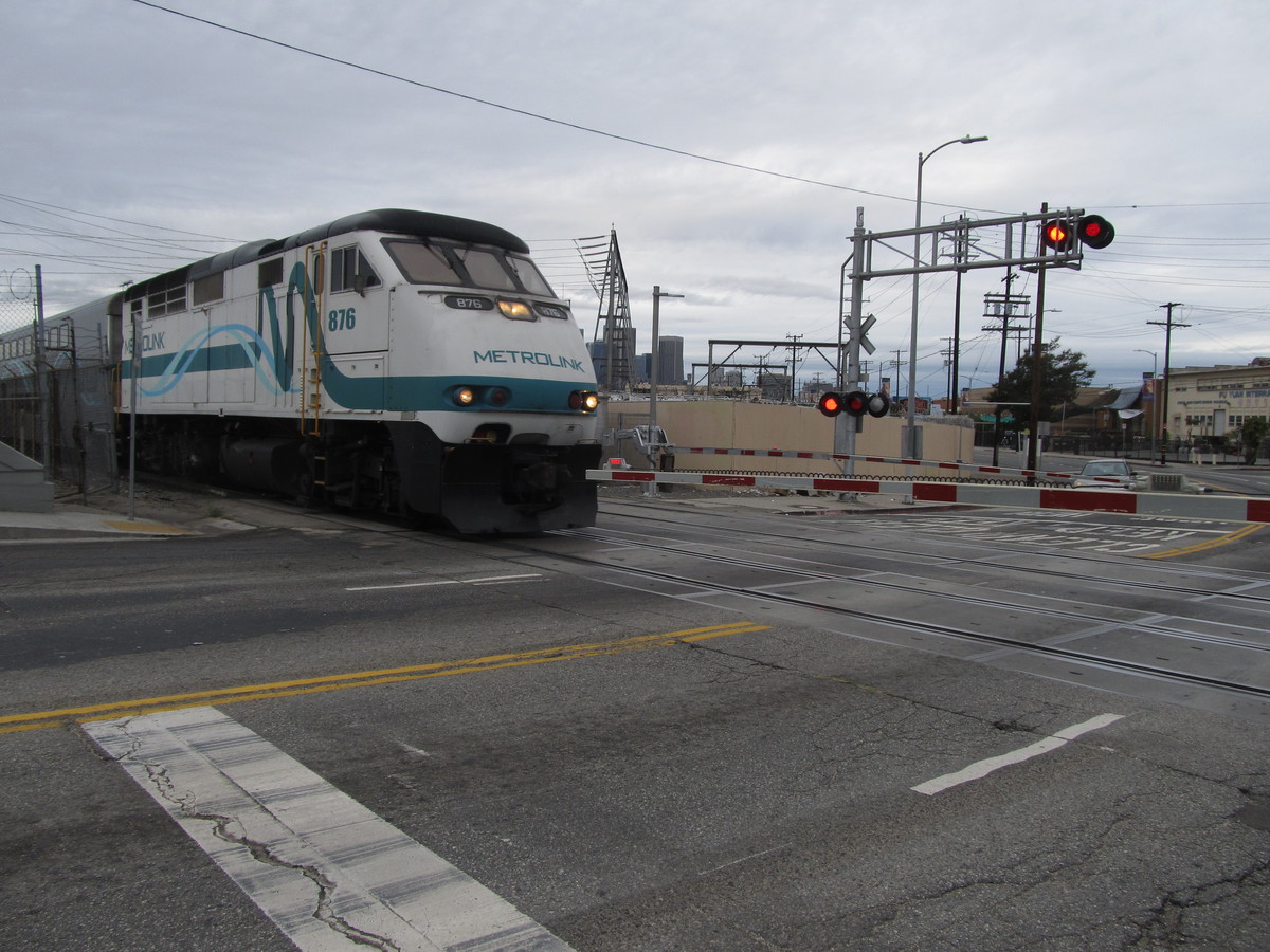
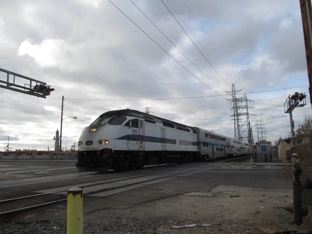
We started out with our standard route into downtown Los Angeles. This time we didn’t make good enough time to be at tracks where Main St crosses the L.A. River in time to see the Metrolink 261 train to Lancaster that crosses Main St at about 8:51.
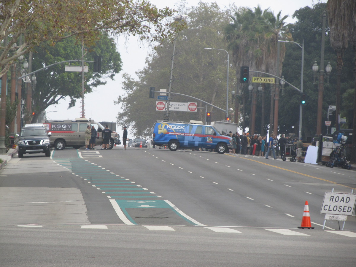
Coming in to downtown, we saw that Spring St in front of City Hall was closed off to traffic. We’ve seen this before when there were events going on on there, so we figured it was something like that, and like we usually do, we just rode down the sidewalk across the street. Playing tourist, I pulled out my camera, but one of the guards said something about “you can’t take pictures of the set”. That was when we realized it was all a set for filming something. The fake news trucks for fictitious L.A. TV stations were another giveaway.
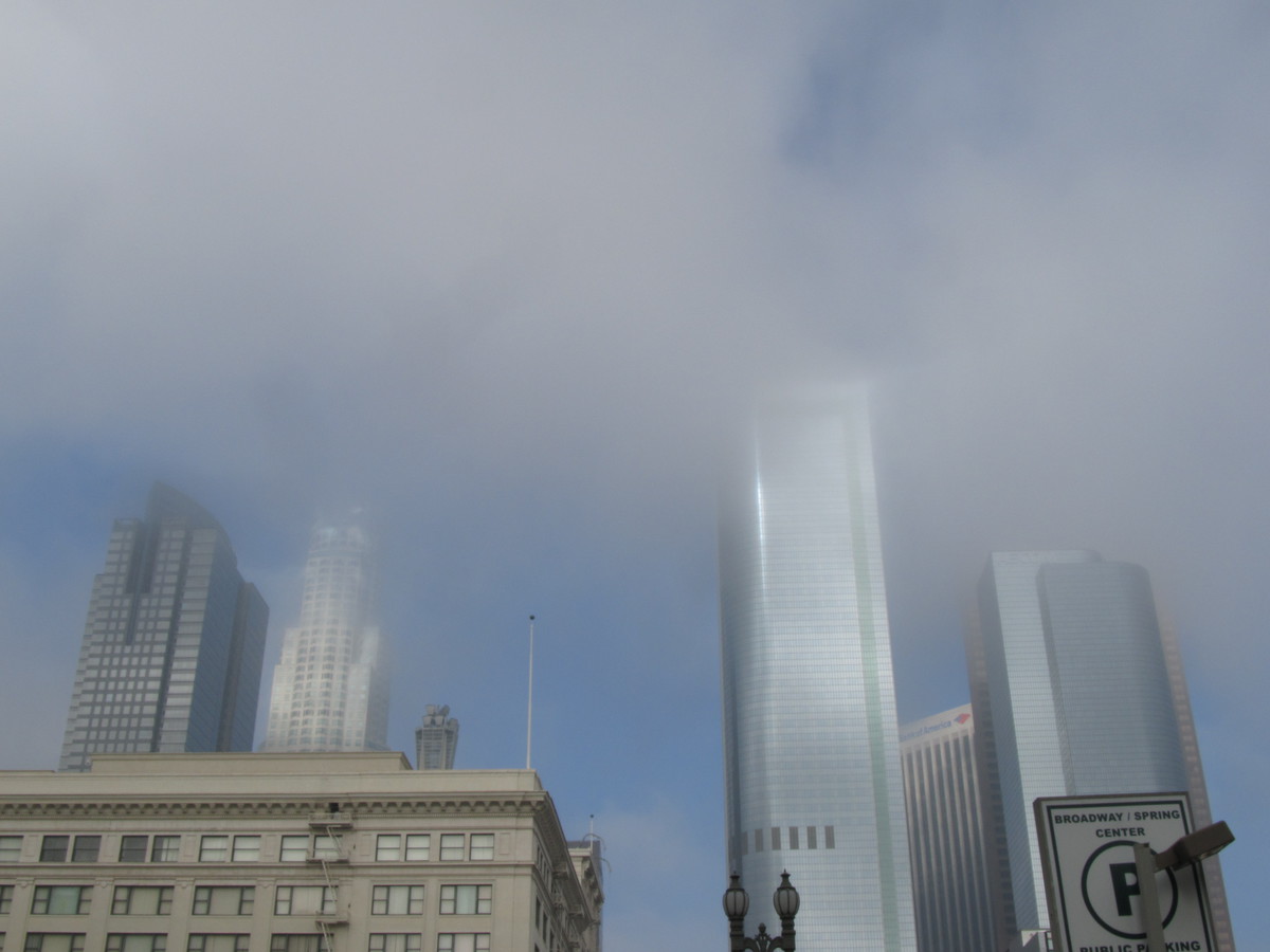
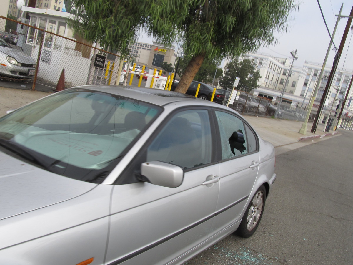
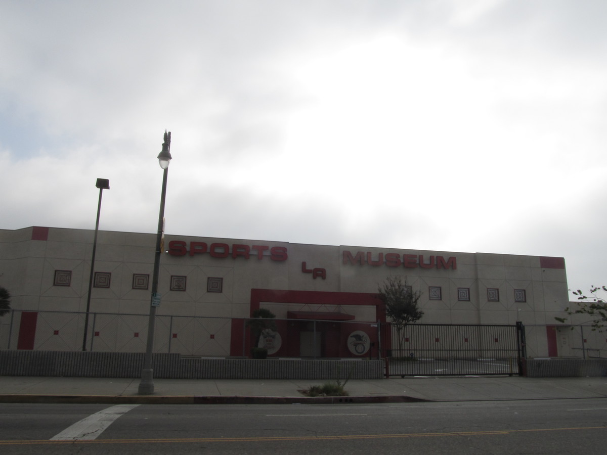
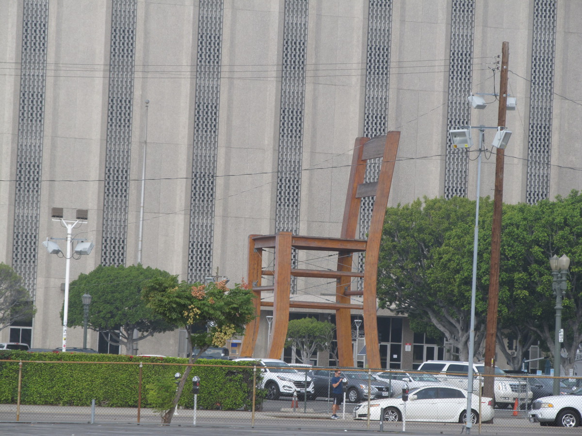
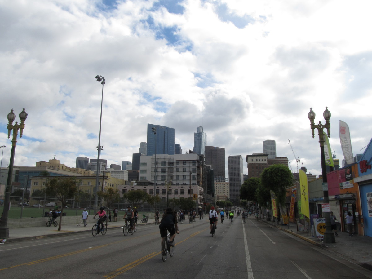
Continuing south, we saw that the clouds were very low today. So the tops of the Bunker Hill skyscrapers were in the clouds. We rode Main St all the way down through downtown. When we got south of the 10 freeway, we saw the L.A. Sports Museum. I never knew there was such a place. And across the street from it was another aspect of L.A. life. A BMW with a broken-out window. And then behind that was an art installation in the form of a giant chair. It was all a bit surreal.
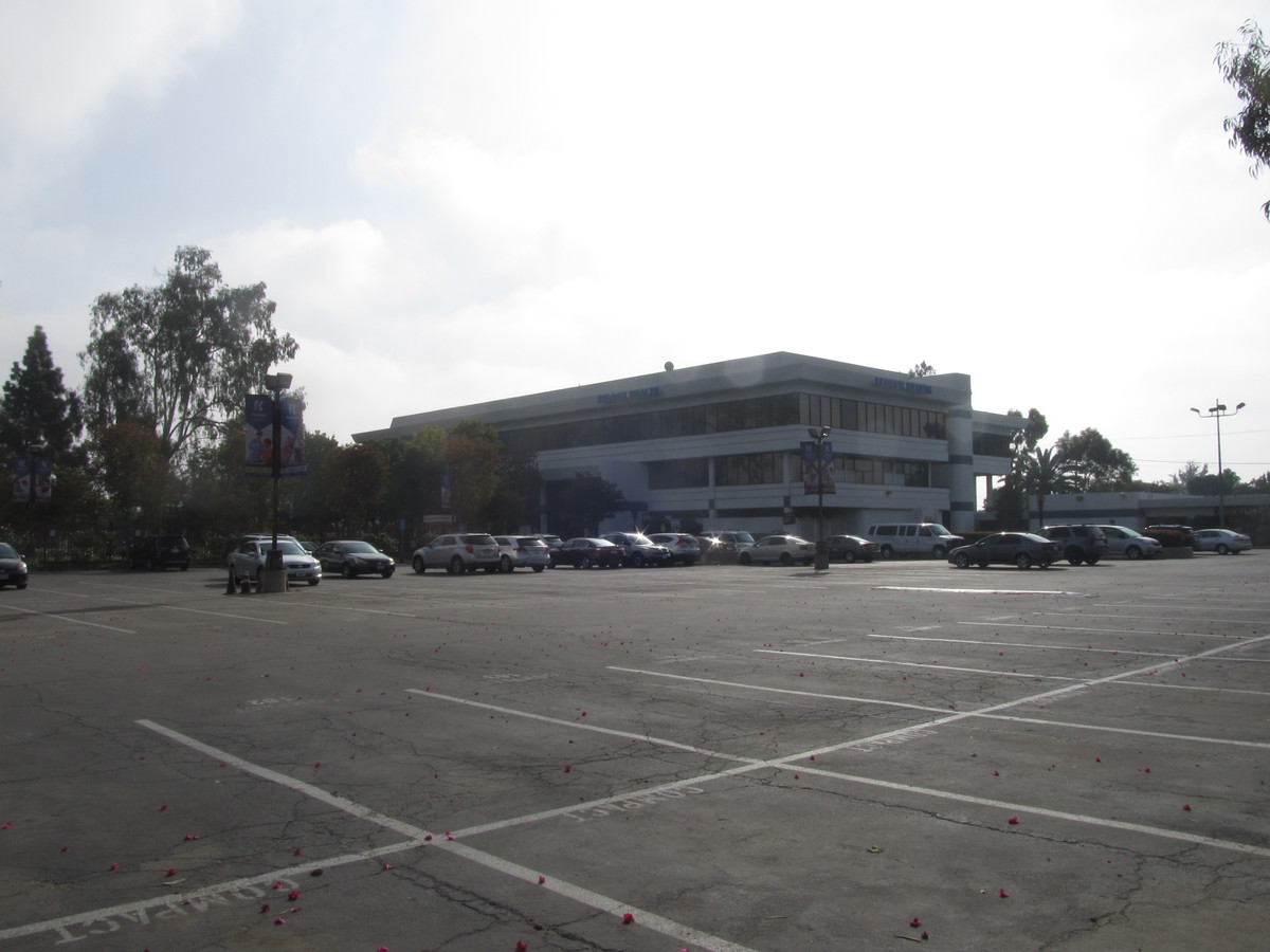
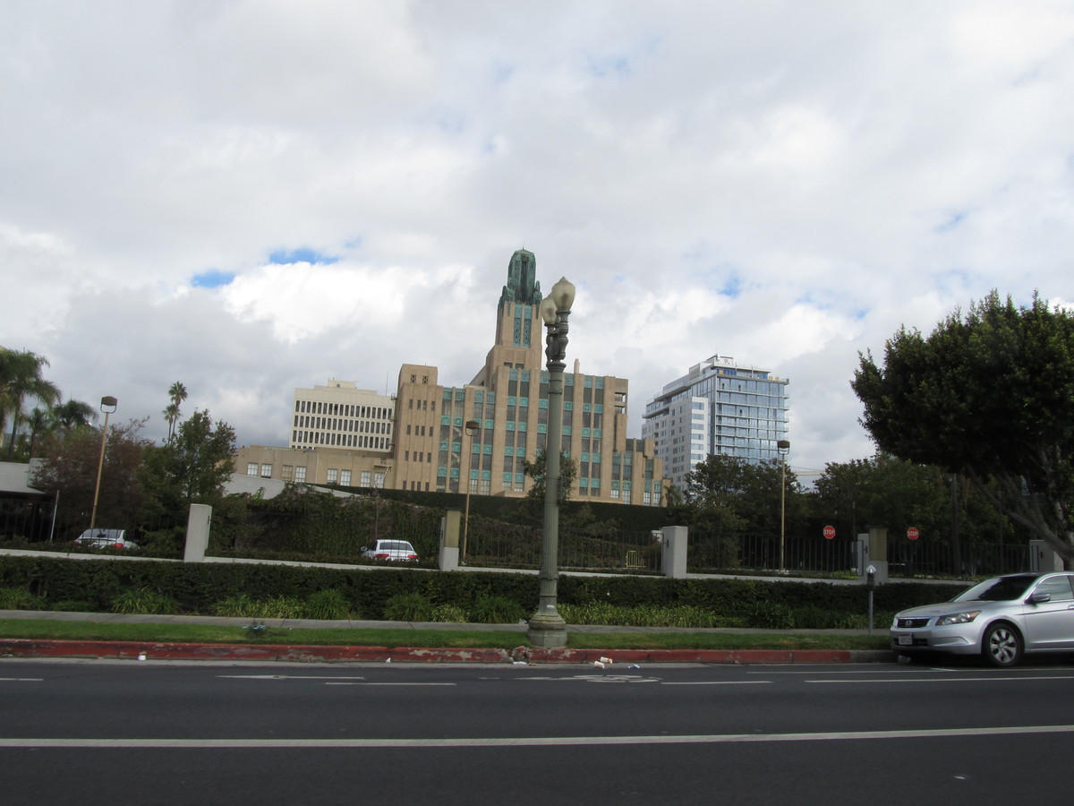
At 41st St, we came to the park. The far corner of the park is where the former stadium was, so I went and took a picture of the building that occupies the site now.
After leaving the park, we came back up into downtown, passing by the steel origami horse and the apartment building on Olive St that we visited back in 2006 on the Tour de Oozing Oil. Then we turned left on 7th St and rode that out to Westlake, and then Bonnie Brae up to Echo Park and our snack stop at Chango Coffee.
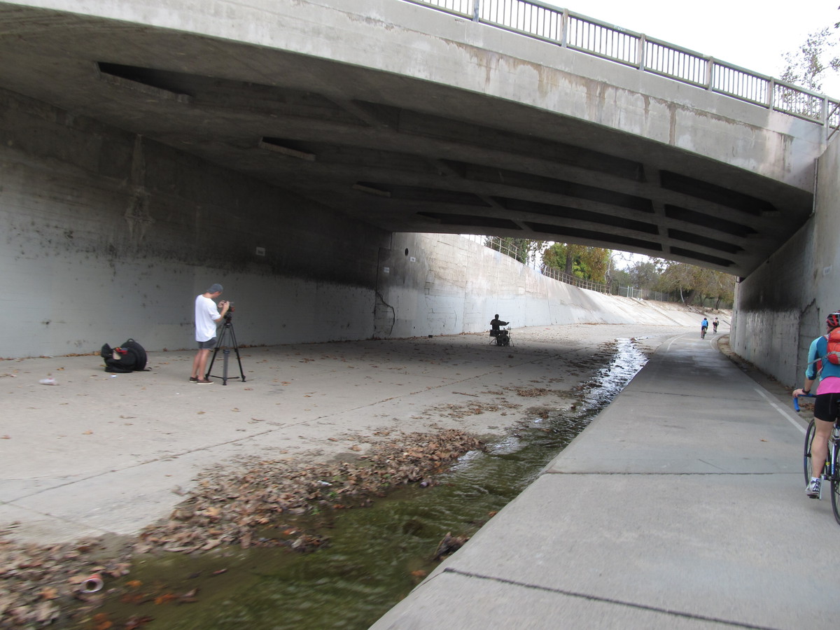
The route back was our regular route up the Arroyo Seco. It was a nice ride.
40 miles.
Route map and elevation profile