It finally didn’t rain today
 |
 |
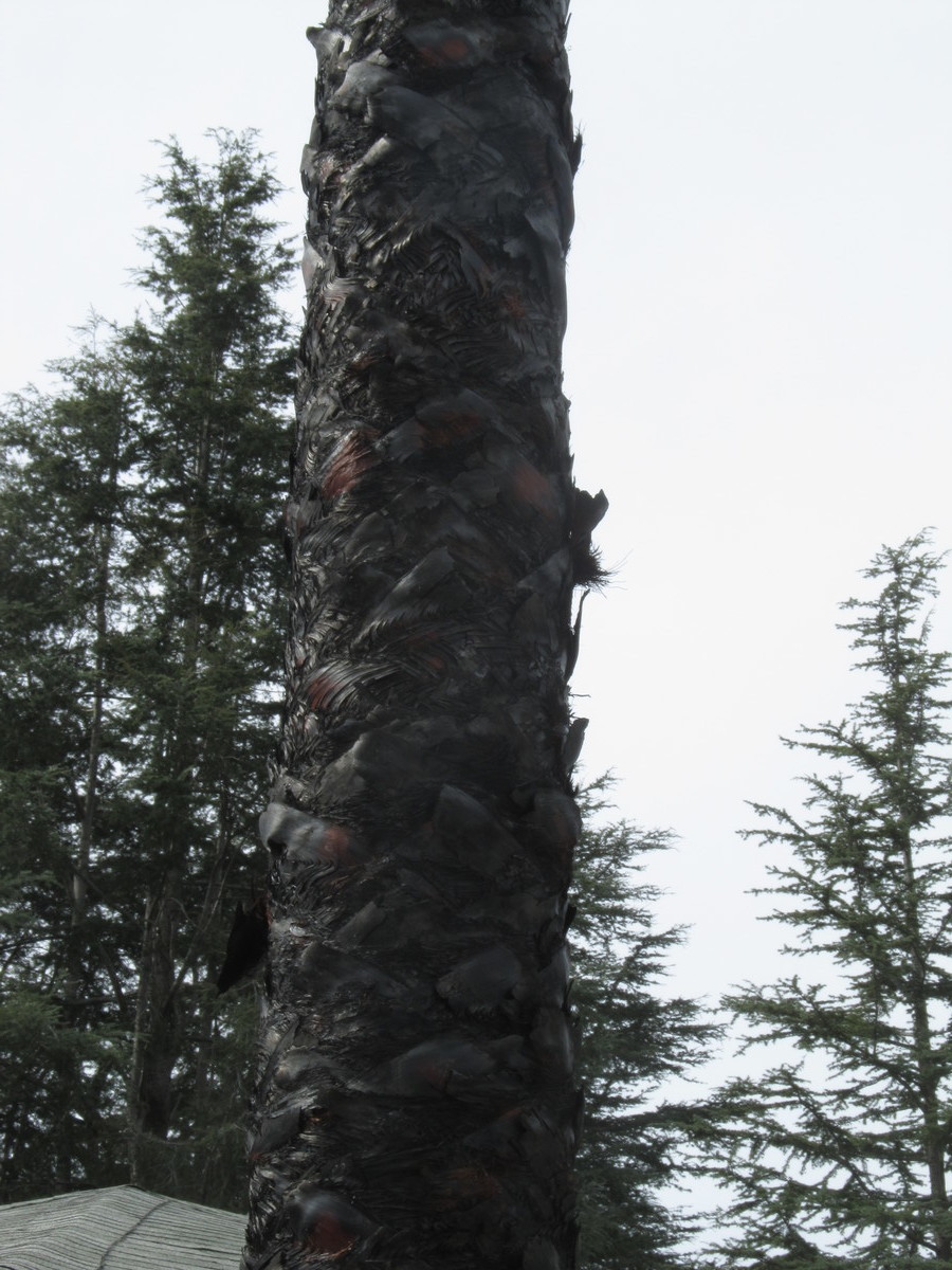 |
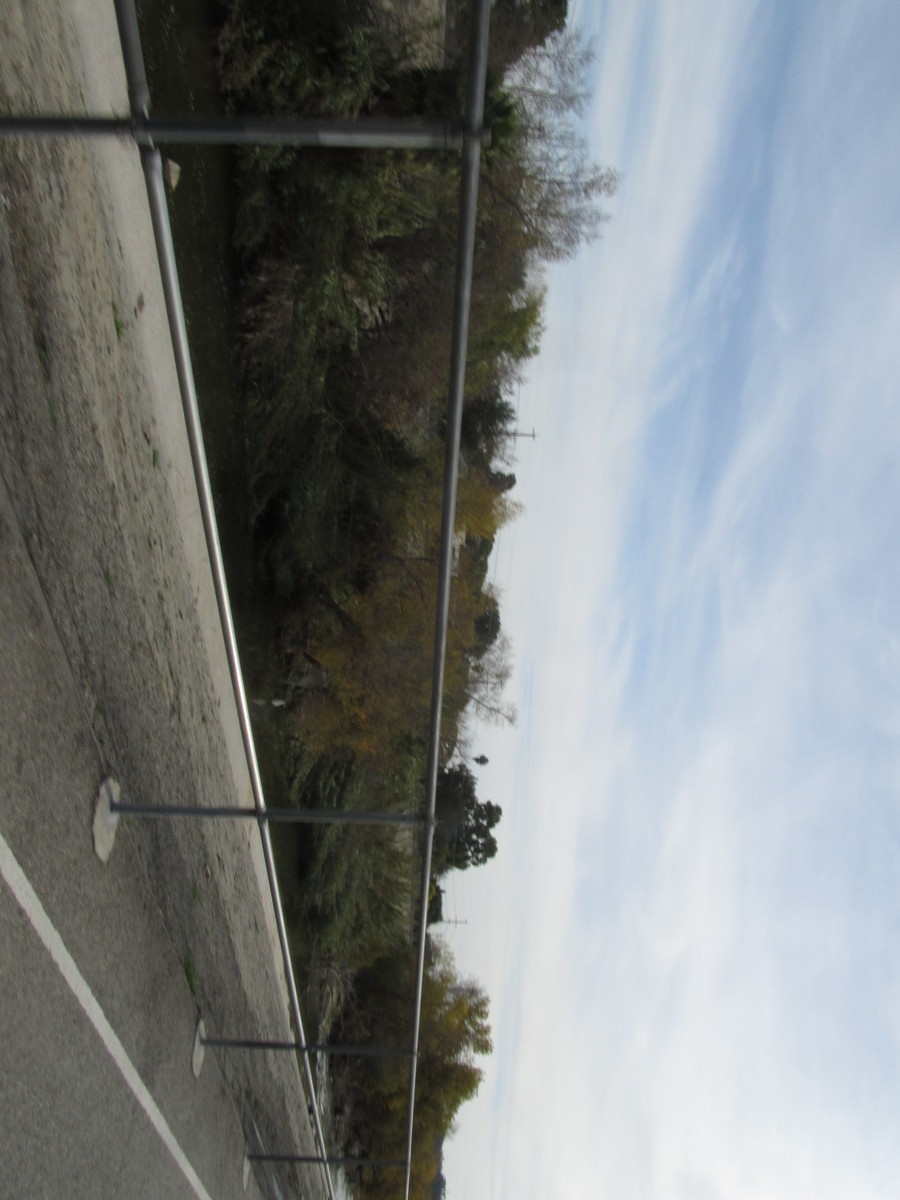
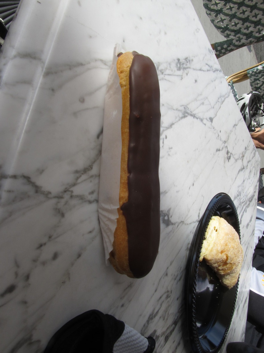
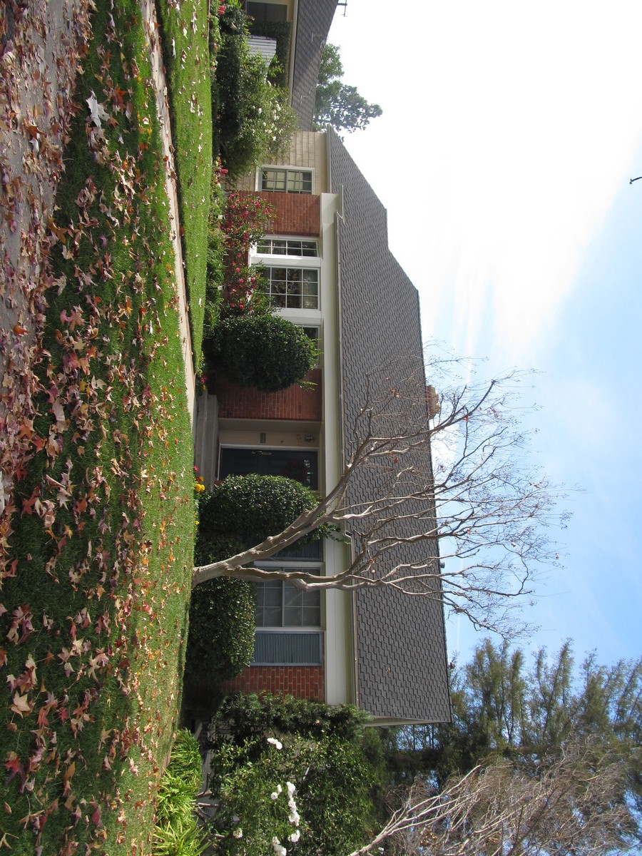
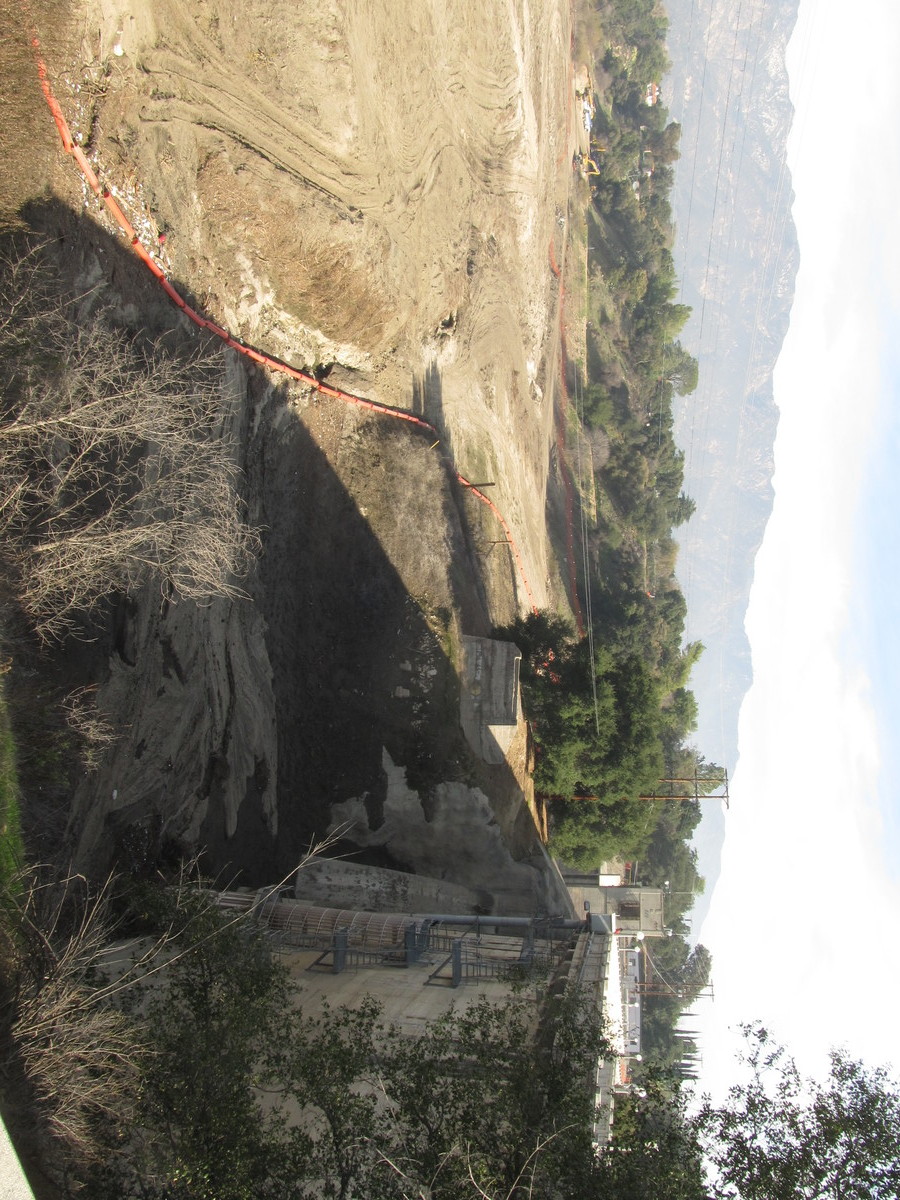
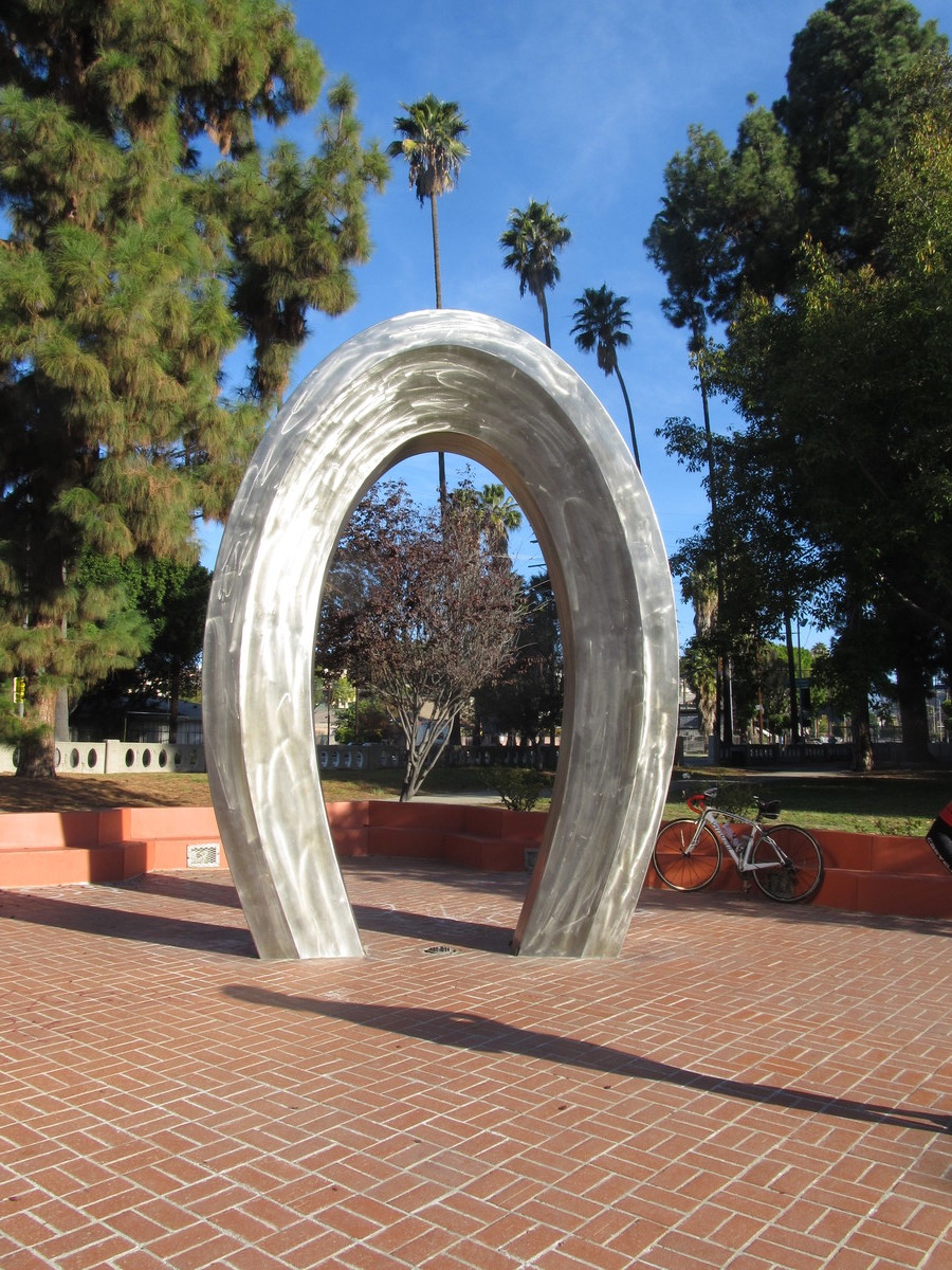
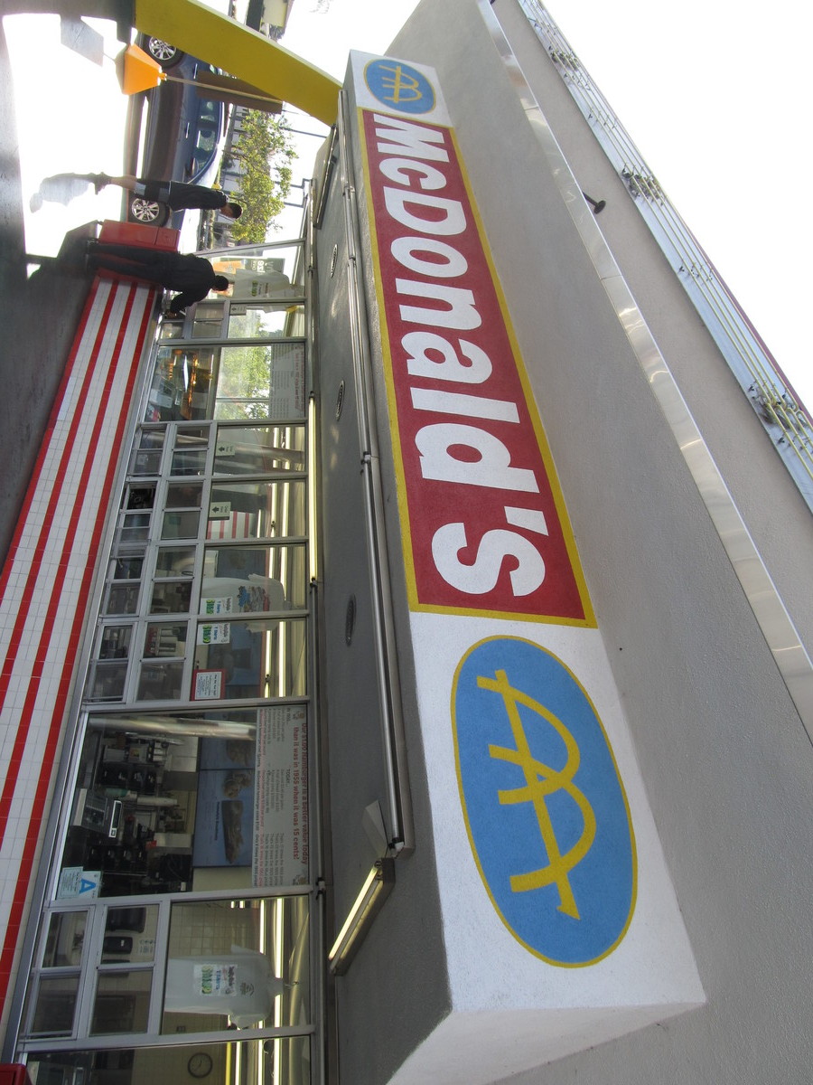
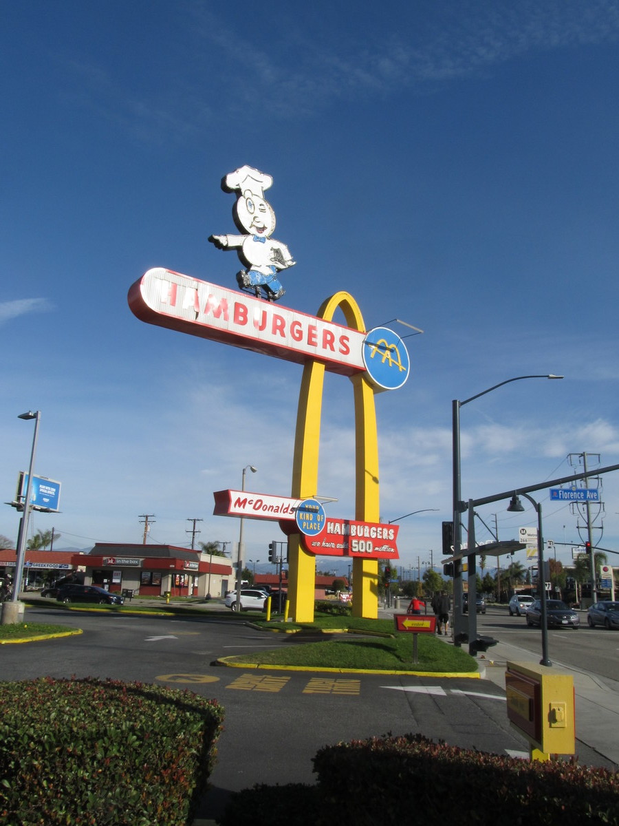
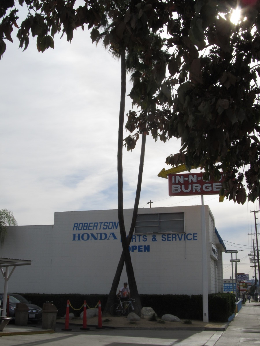
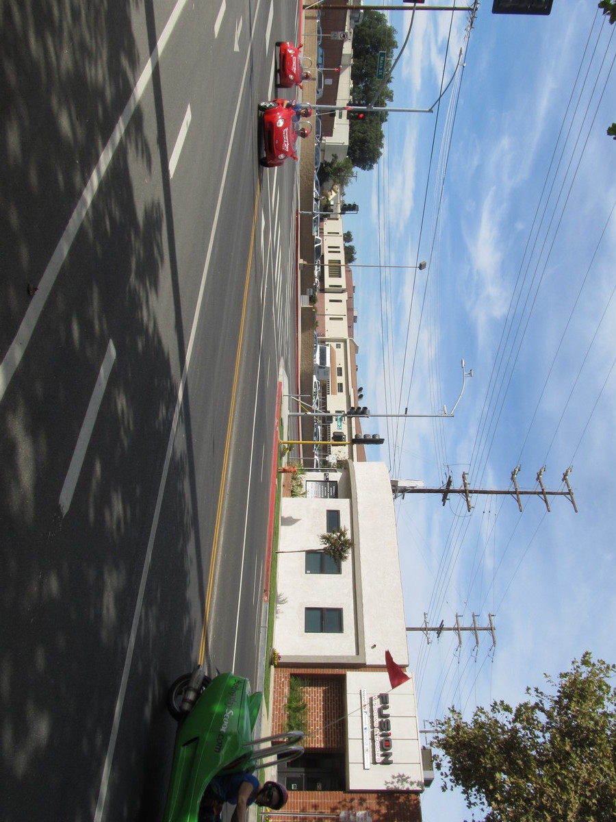
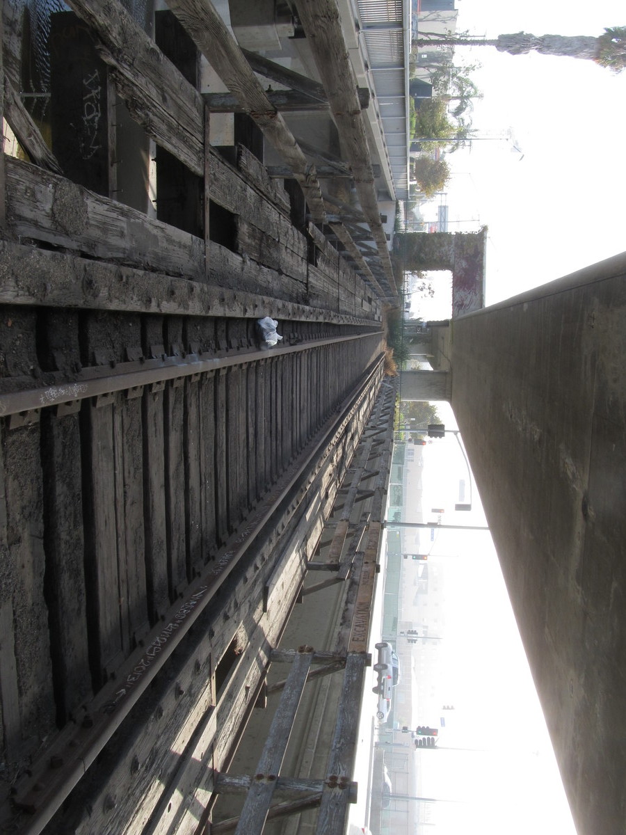
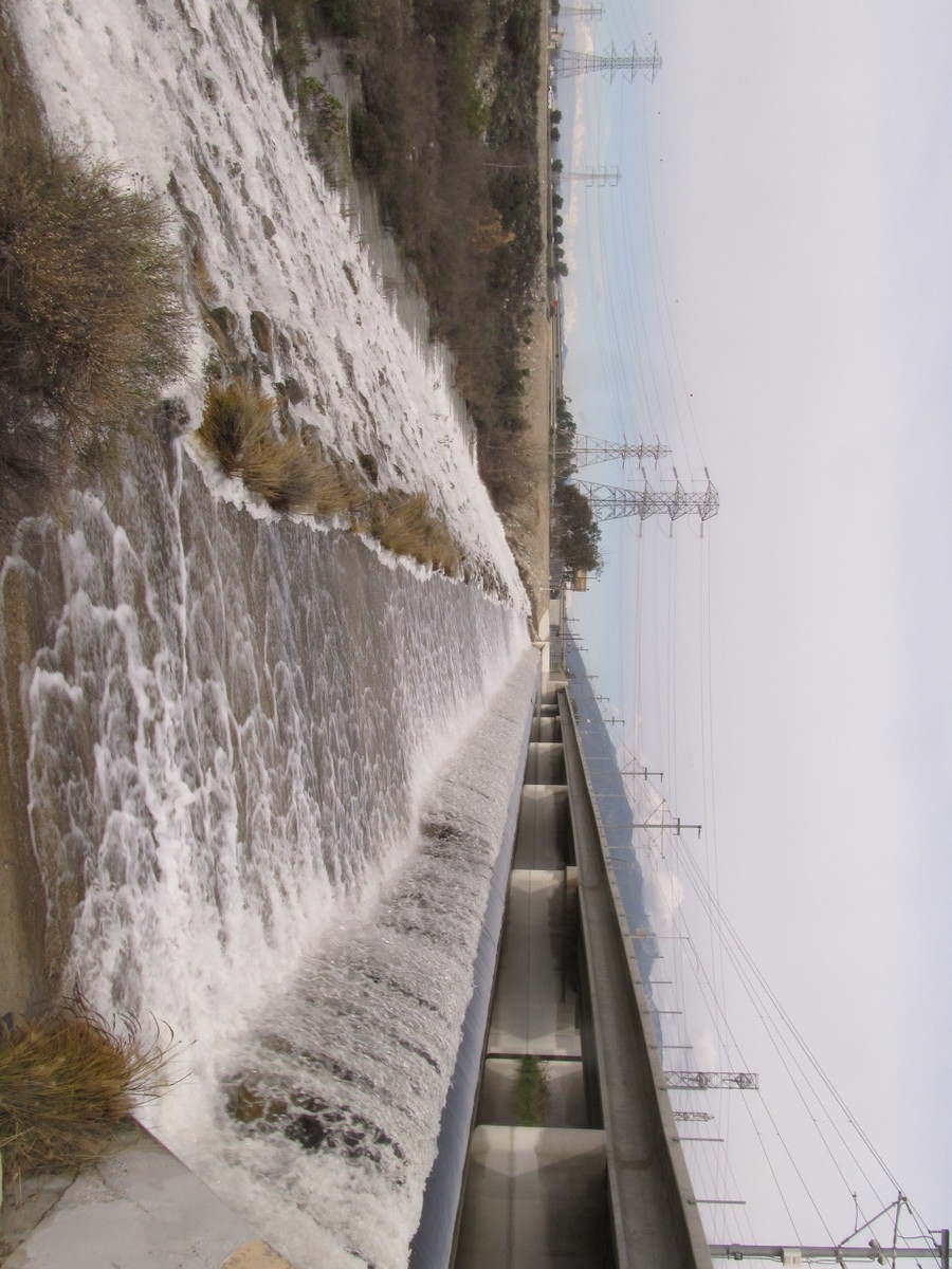
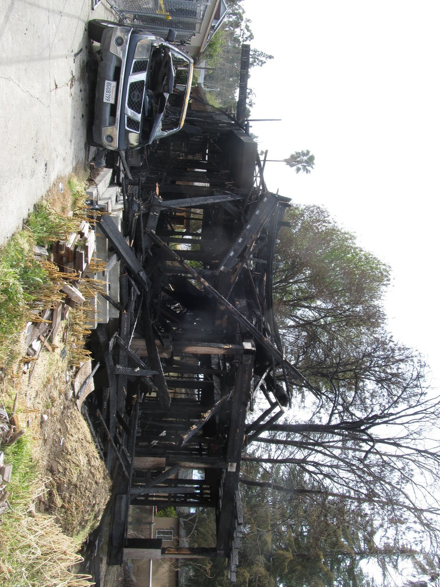
It finally didn’t rain today, so we went for a bike ride. The route was to Glendora and back. The plan was to bail out and take the train back if it did decide to rain. But as it turned out, it didn’t rain, and we were able to ride the whole route. And on the way back, we got to see the charred remains of a half-built house that we’ve been passing for several years, and that just burned a few days ago.
37 miles.
Comments Off on It finally didn’t rain today