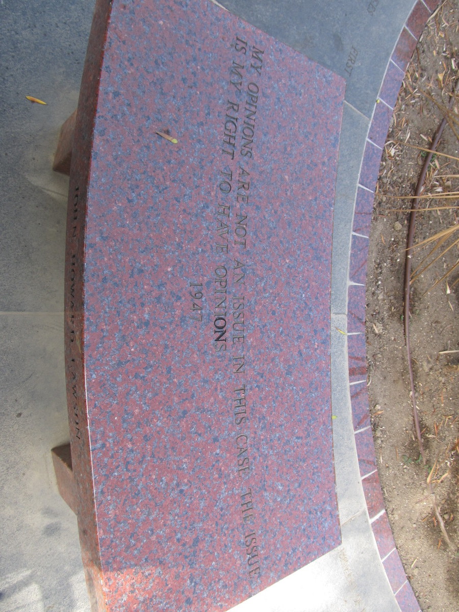
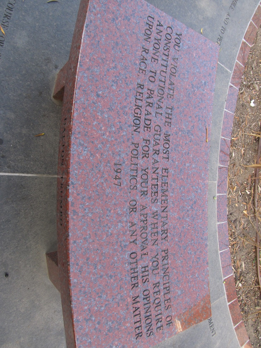
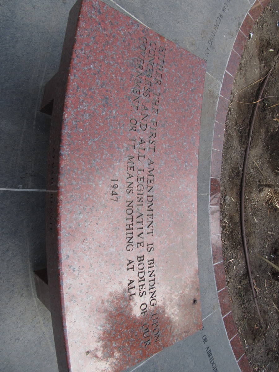
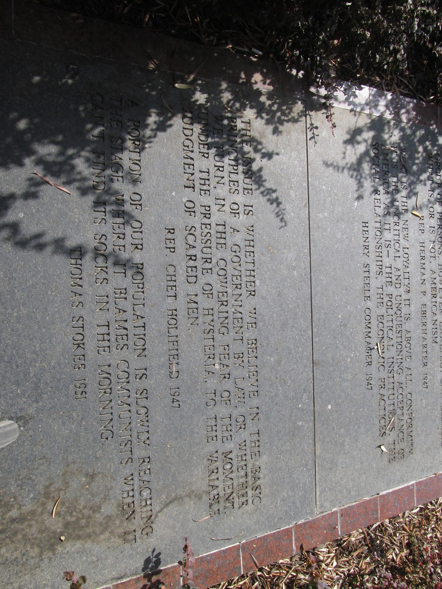
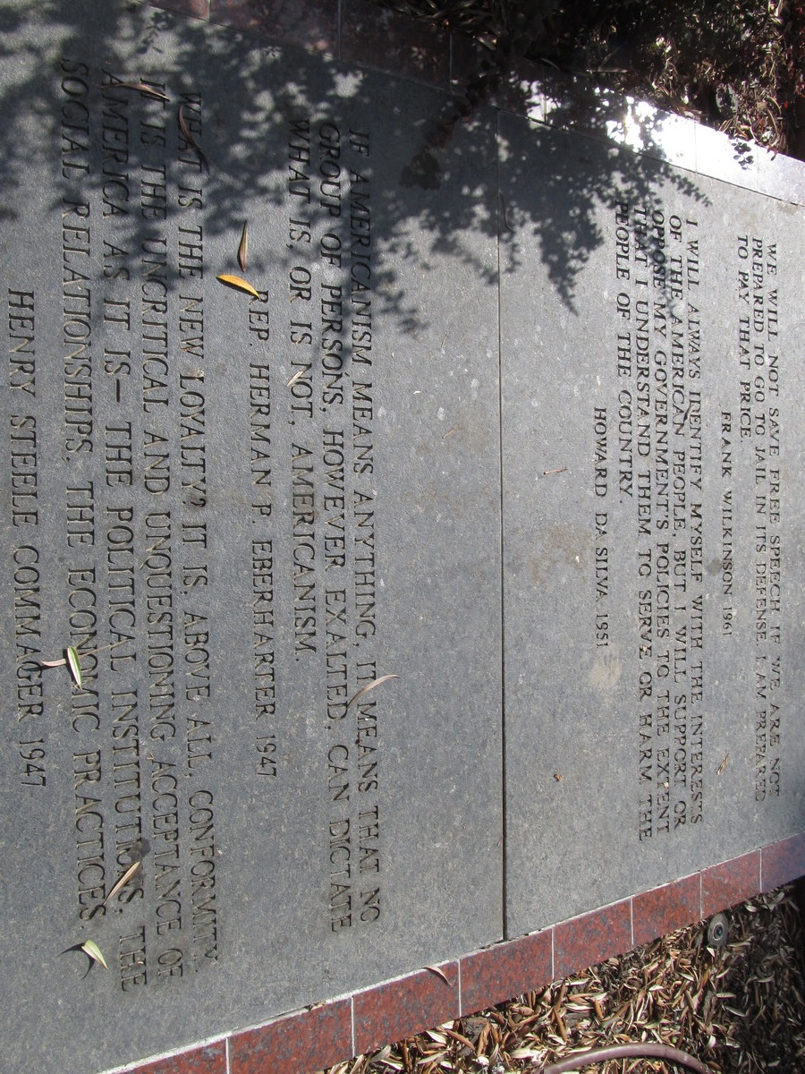
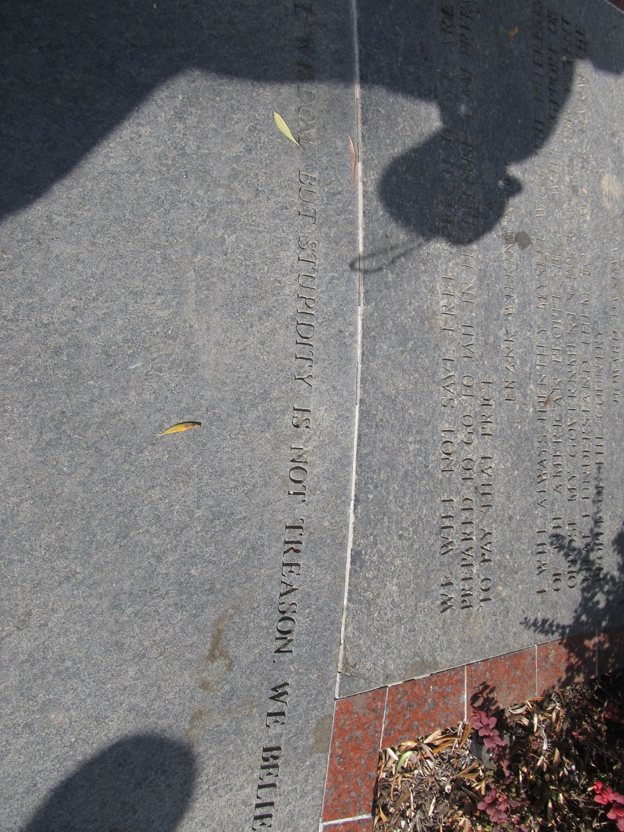
Today’s bike ride was a visit to USC and the Fisher Museum to see the art project in front of the museum commemorating the Hollywood Blacklist of the 1950s. We did this before, but it was several years ago. Besides, it seems that people doing un-American things is more in the news again lately for some reason…
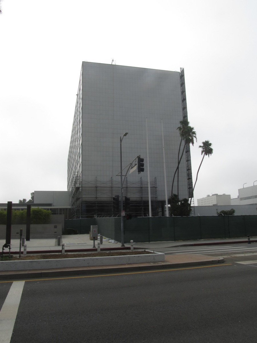
It had been long enough since we did this ride that I had to make a few adjustments to the route, but that wasn’t a bad thing. We rode the usual route into downtown, and then south to USC. Along the way, we stopped to see the old Parker Center, which was the long-time headquarters for the Los Angeles Police. It’s slated to be torn down soon, so I wanted to see the building again before it’s gone. Besides, I still remember going to the Street Scene in downtown L.A. back in the ’80s. They had stages set up all over the Civic Center area, and I always wanted to know what rocket scientist thought it was a good idea to put the hardcore punk stage on the street in front of Parker Center. And of course, everyone was shocked – shocked, I tell you – that a riot broke out.
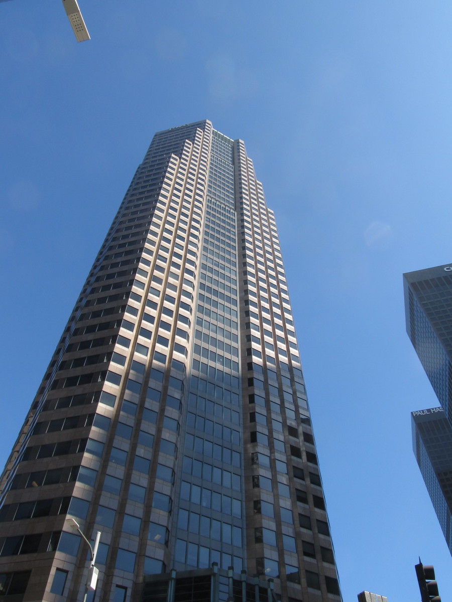
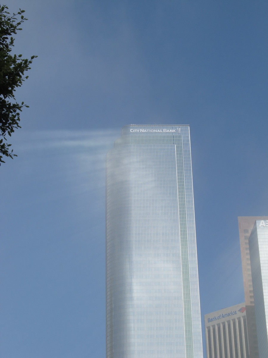
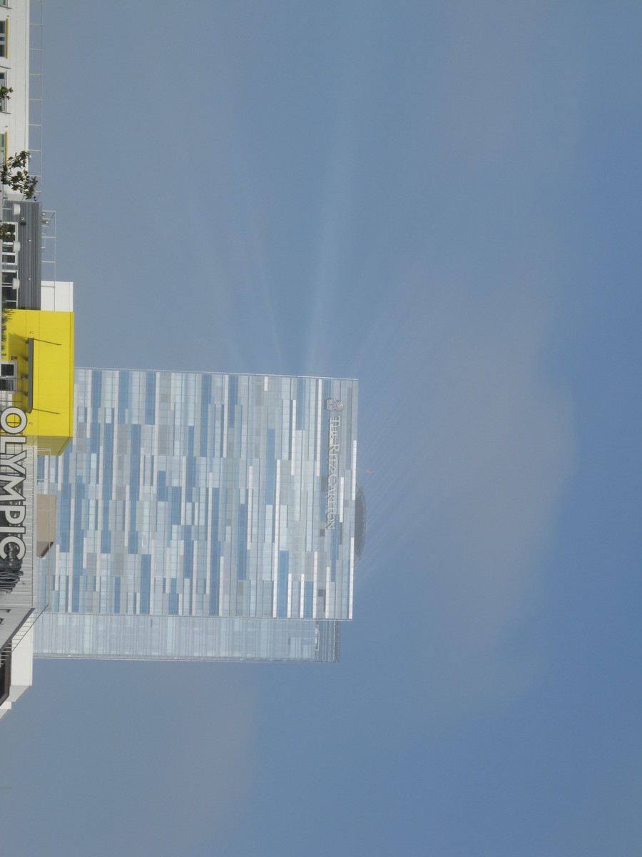
Riding through downtown, it was a misty sort of morning, which made for some nice sunlight reflecting off the buildings. We haven’t seen that since we did “Down for the Count” in 2009.
We stopped at USC to see the garden and the art installation there, and then continued on to Larchmont Village and bagels at Noah’s. Then we rode home through Silver Lake, and up Benton Way, which we haven’t done in a while.
44 miles.
Route map and elevation profile.