The Stonehurst Cottages
 |
 |
 |
 |
 |
 |
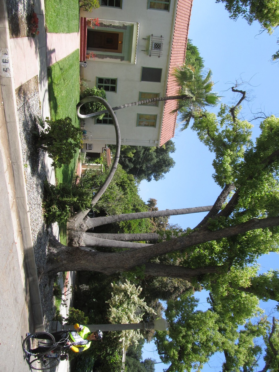
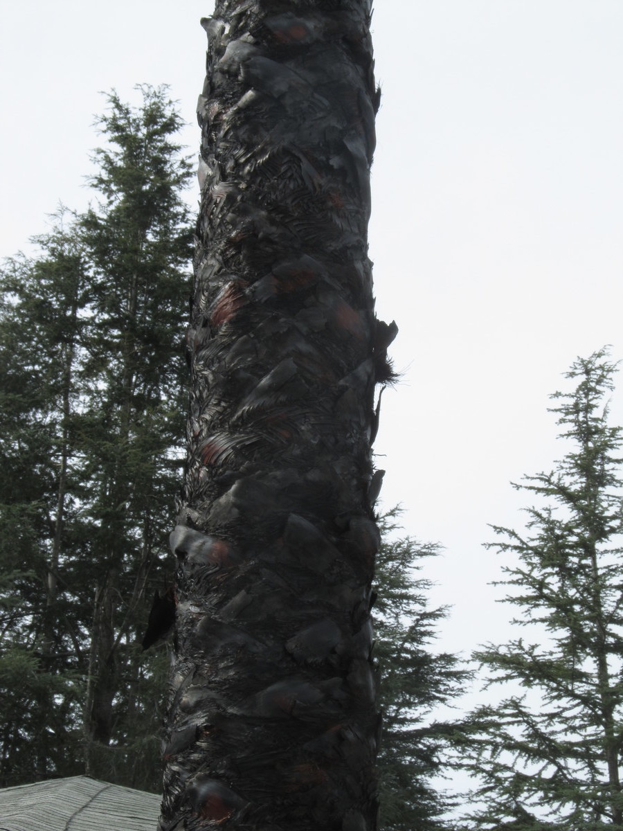
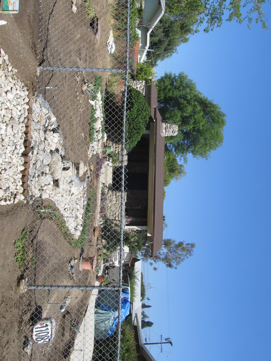
Today’s bike club ride was a trip to Sun Valley to see the Stonehurst Cottages. There are a collection of stone houses, all built by one man in the 1920s. It’s a testament to what can happen when you have one man with a vision, as well as a lot of time on his hands.
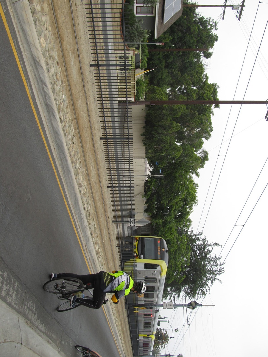
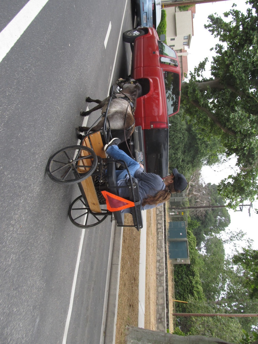
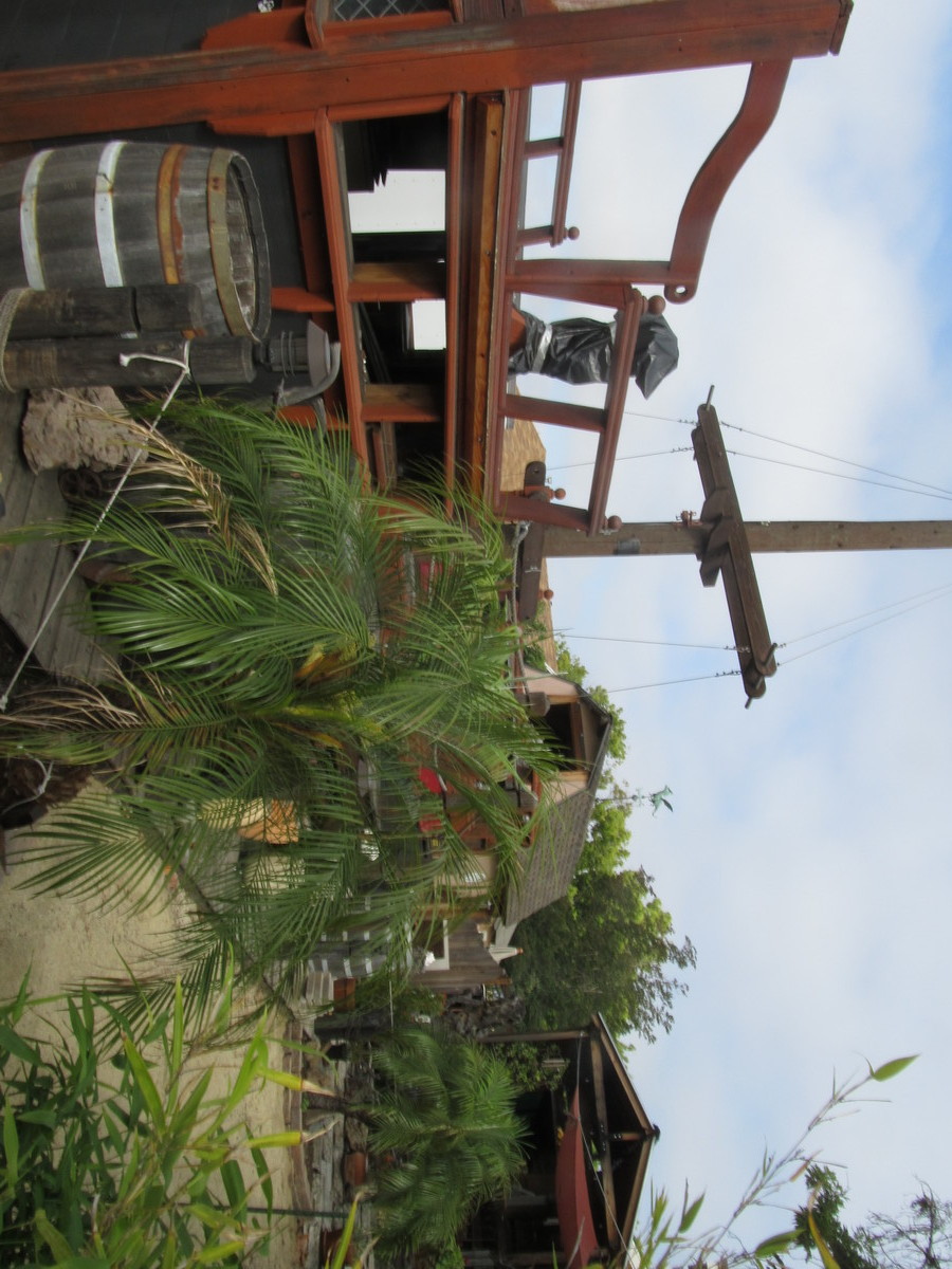
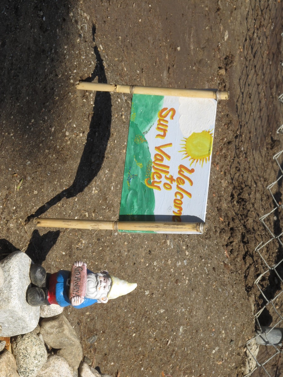
The ride up there was pretty straightforward. Across Eagle Rock, Glendale, and Burbank. We did one short side trip in Burbank to see the house with the backyard playhouse in the shape of a pirate galleon. Then we continued on up into the auto-wrecking-ghetto of Sun Valley, and then turned off on Sheldon St to get to the Stonehurst neighborhood. We rode around randomly on some of the streets there to see a few of the stone houses. Then we continued on through the horse neighborhood around there. Seeing and smelling horses, it felt like we were out in the country, not inside the city limits of Los Angeles. This was the same neighborhood we visited once to see a llama named Lorenzo.
44 miles.