A Metro Rail and grave tour
 |
 |
 |
 |
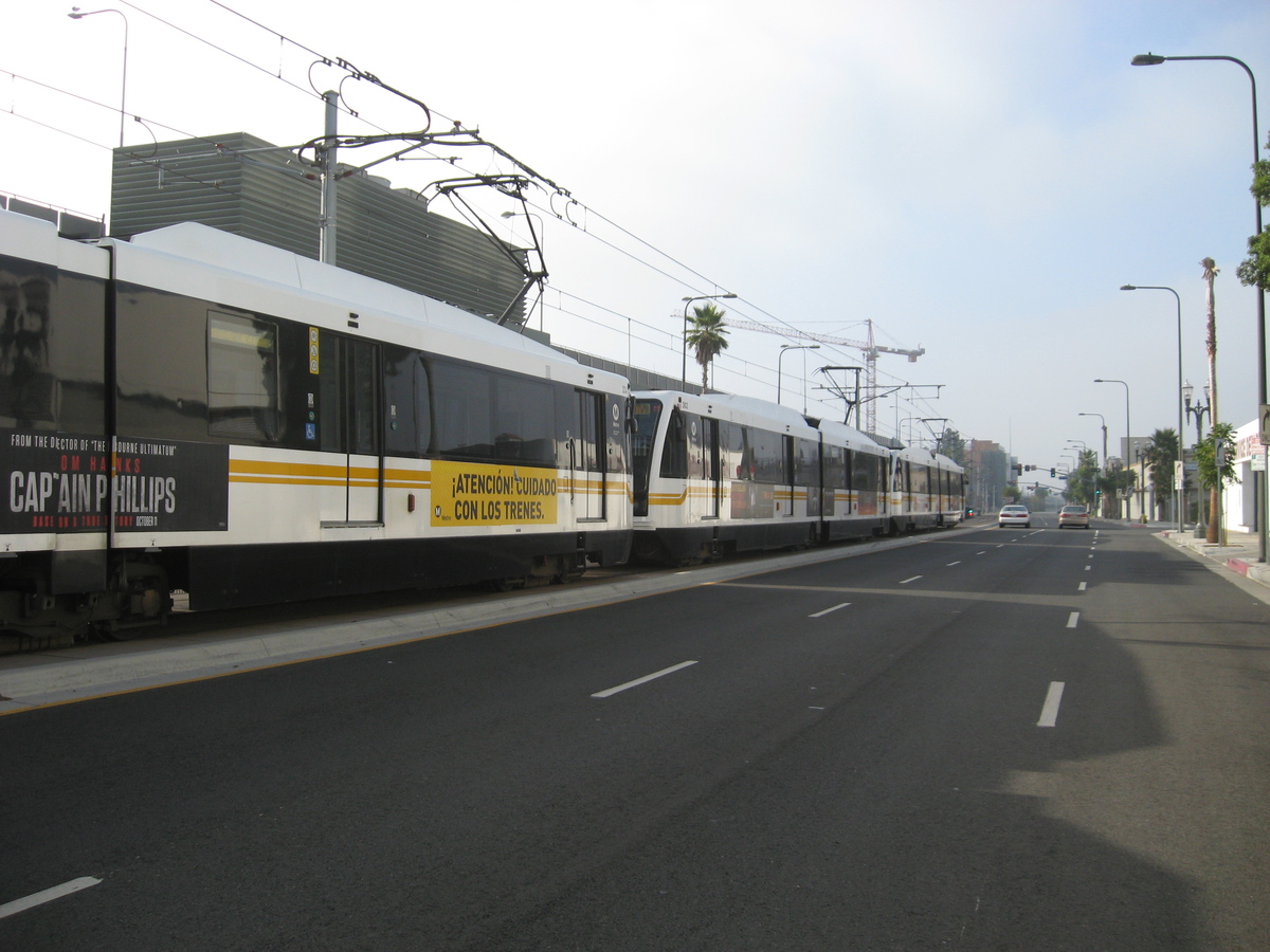
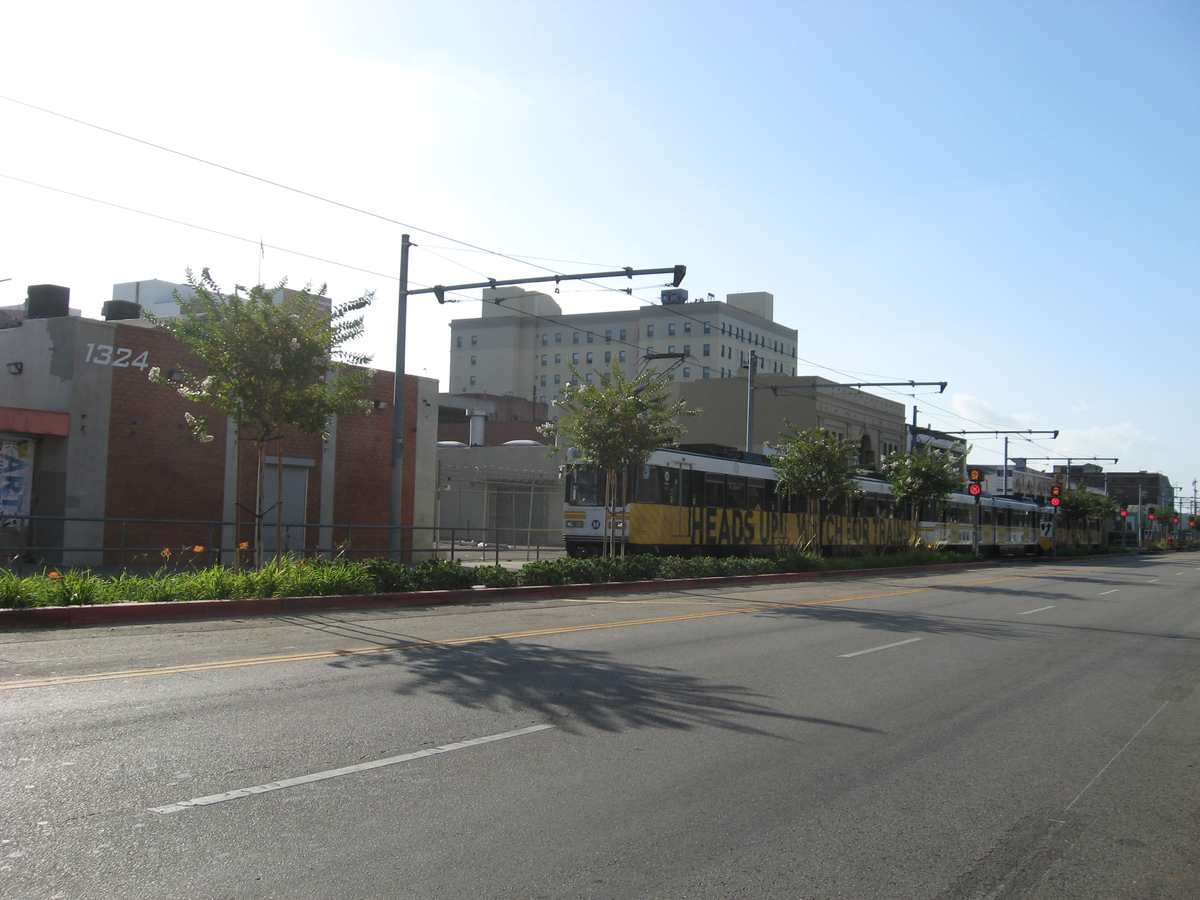
Rain was forecast for today, so we did the route that I made up that travels around the city, never going more than 2 miles from the nearest Metro Rail station. That way, if the sky opens up and rains on us, we have a quick exit strategy at all times.
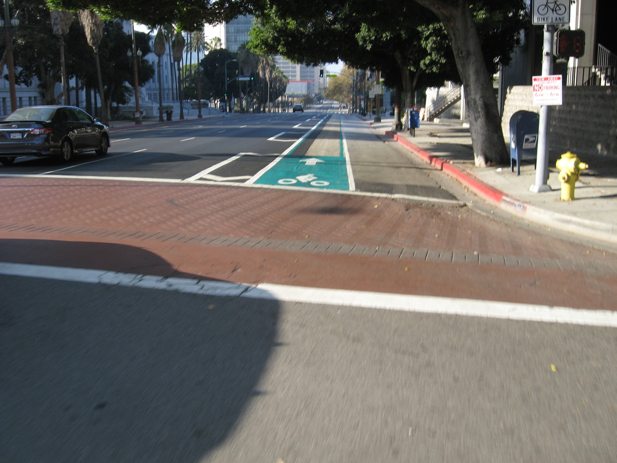
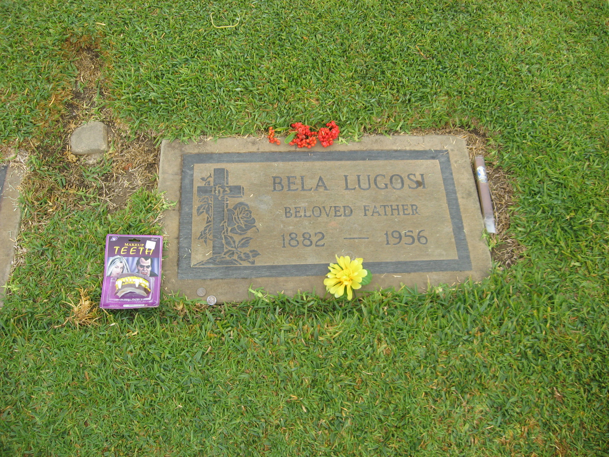
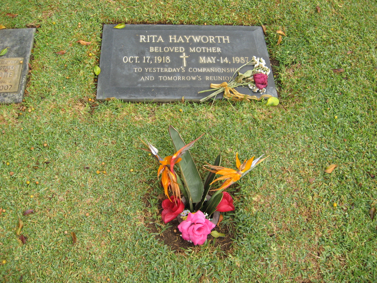
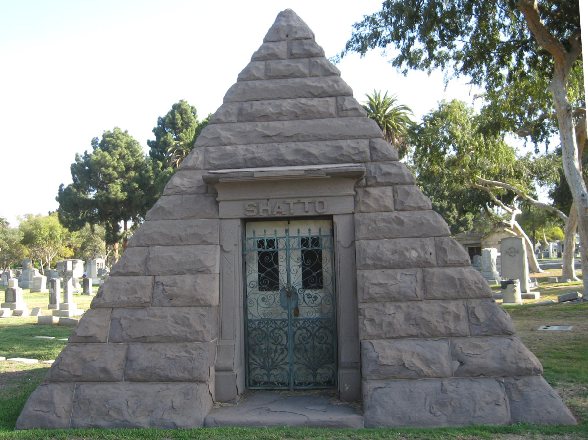
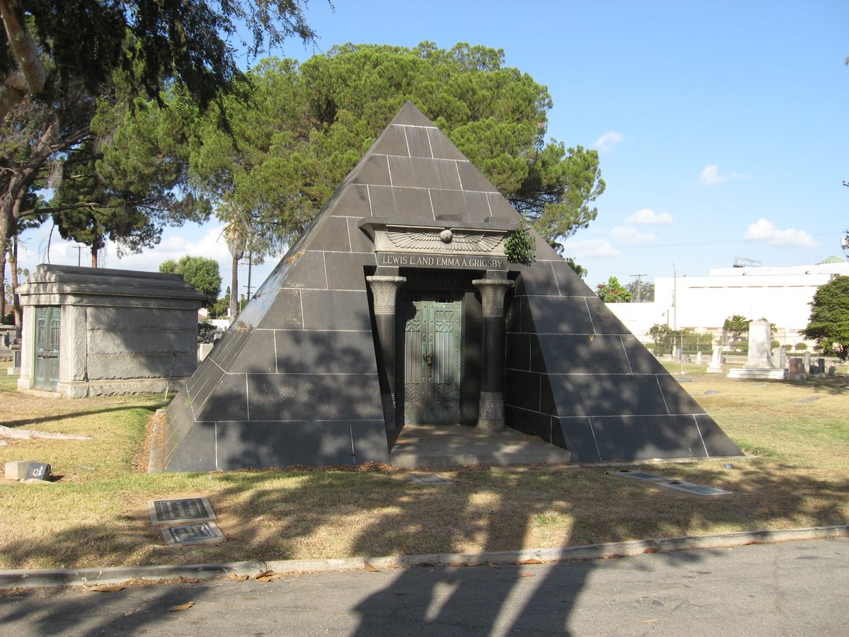
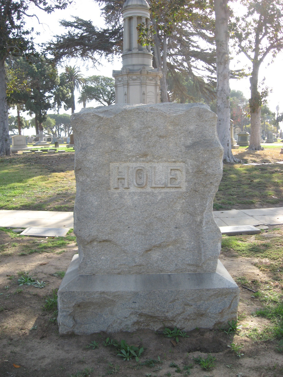
The route starts out going downtown, and then south along the Blue/Expo lines to near USC. From there, we head west, riding about mid-way between the Expo Line on the south, and the Red/Purple subway line to the north. At that point, we were passing the Angelus Rosedale cemetery on Washington Blvd. We’d been there before to visit the grave of Dooley Wilson, who is known for playing Sam in “Casablanca”. We stopped in there because last April, when we were riding in the Ciclavia to the Sea, we rode by the back side of that cemetery, and I saw a large pyramid there. I’d done some looking, and apparently there are three known pyramid crypts in Los Angeles County. One is in Brand Park in Glendale, and is not accessible to the public. The other two are in Angeleus Rosedale. So we stopped off to see the two pyramids.
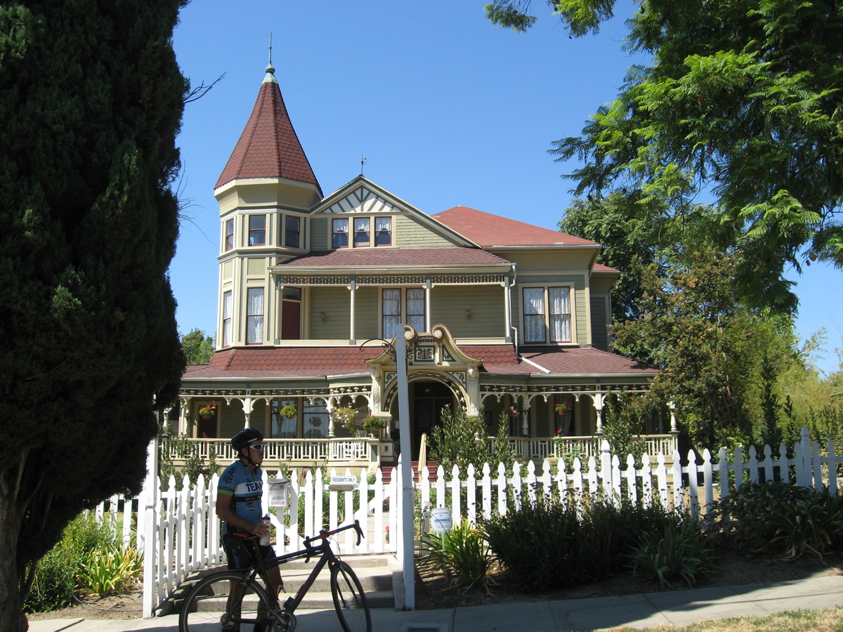
After that, we headed up through the Harvard Heights neighborhood to Larchmont Village and Noah’s Bagels. We had some snacks, and then headed for home. By now, the weather was looking quite fine, with no threat of rain. But we stuck to the route, heading back on 7th St, roughly parallel to the subway line under Wilshire, and then through Chinatown and home by way of Lincoln Heights and South Pasadena, along the Metro Gold Line route. All told, it was a pleasant day, and we were glad not to have to use our exit strategy.
44 miles.