Off to the Races
 |
 |
 |
 |
 |
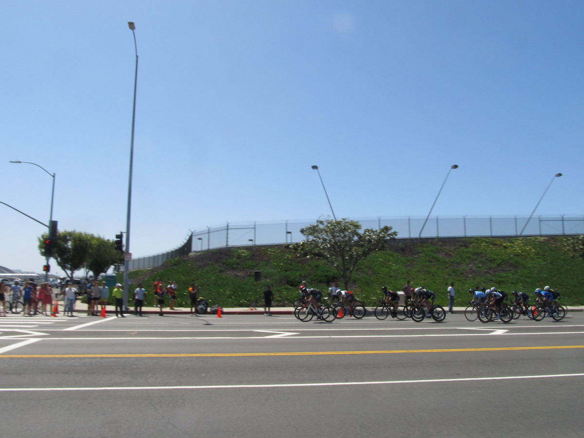 |
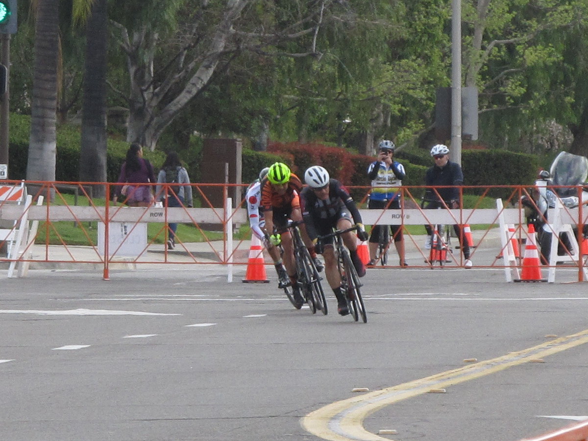
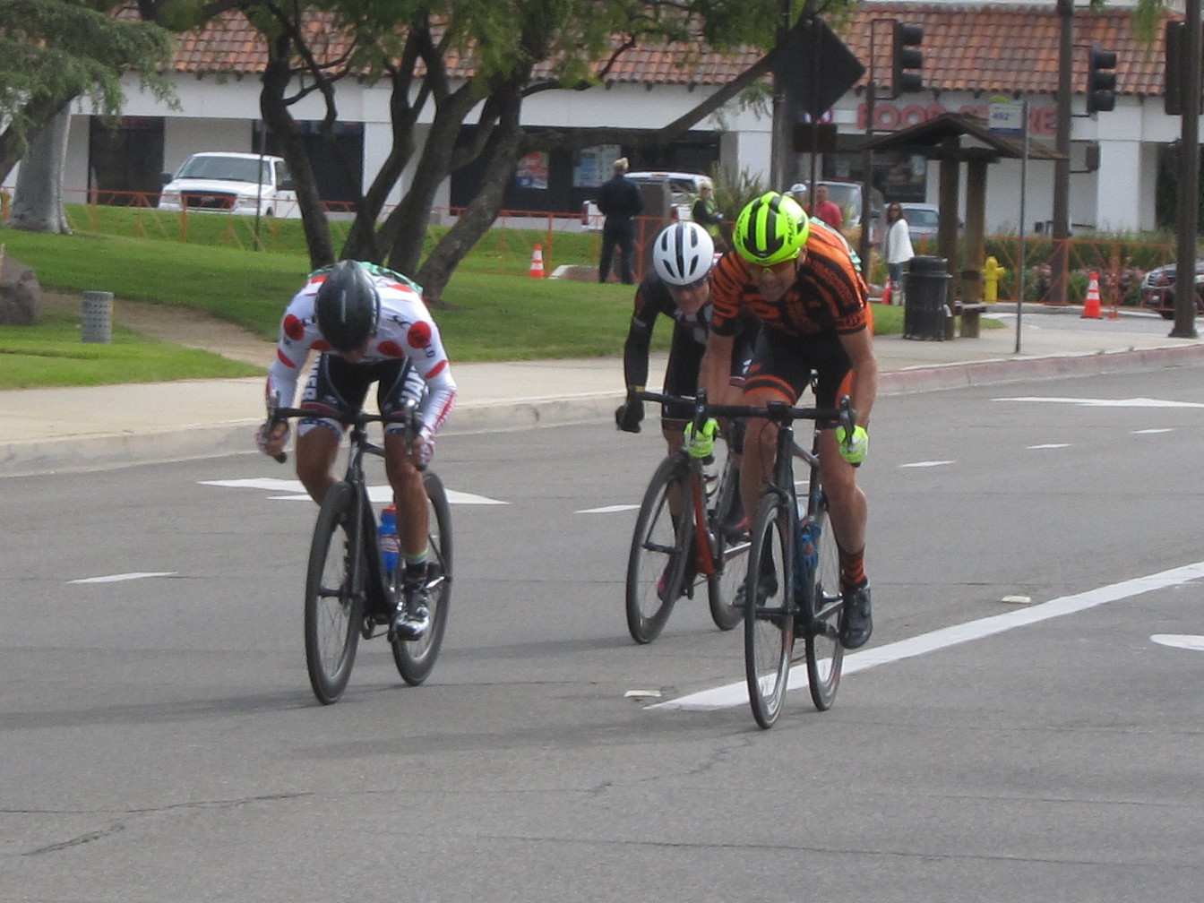
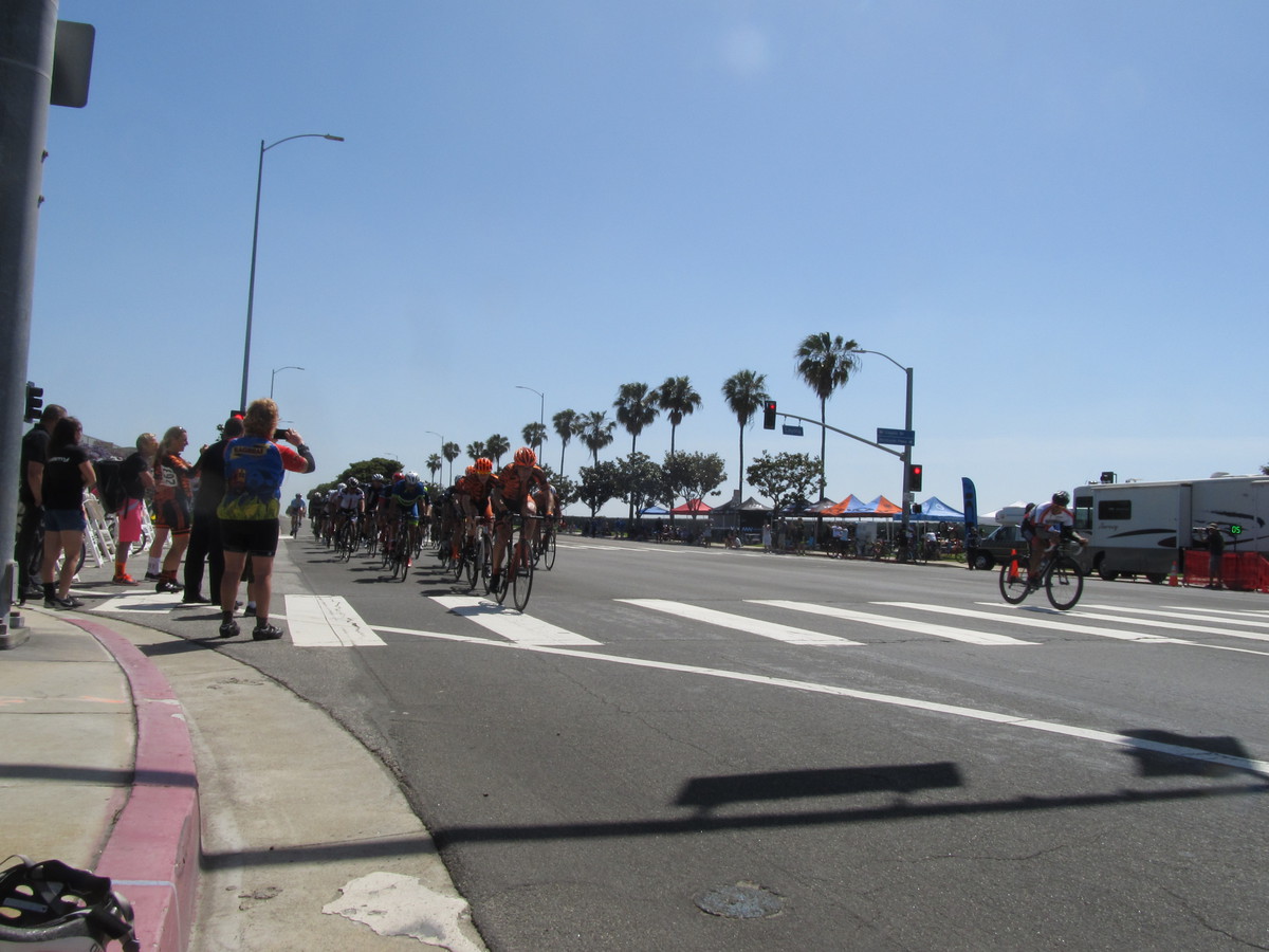
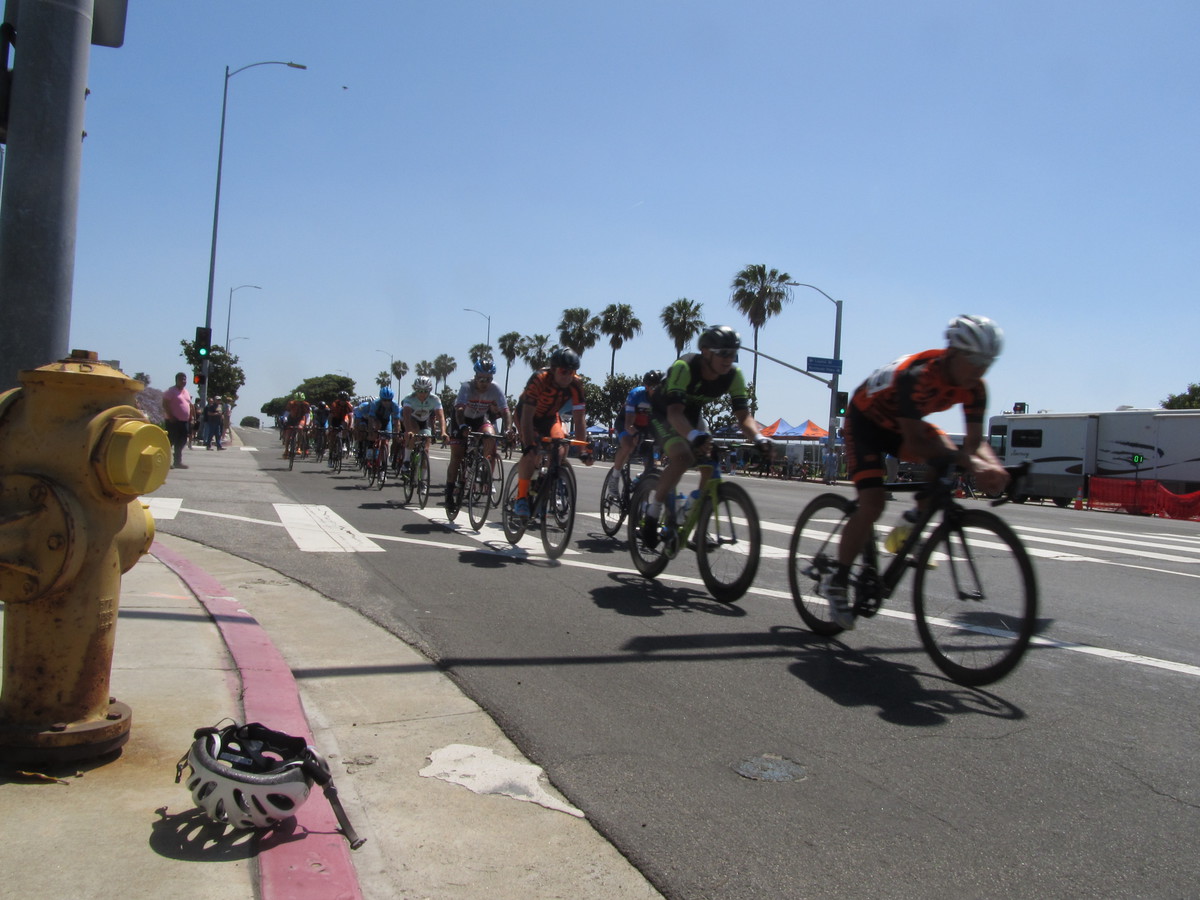
Today’s bike club ride was another special one-way ride. Out to Westchester, next to LAX, to see the L.A. Circuit Race. I knew that my old racing friend Cleave from the ’70s was going to be there. Remarkably, 40 years later, he’s still racing.
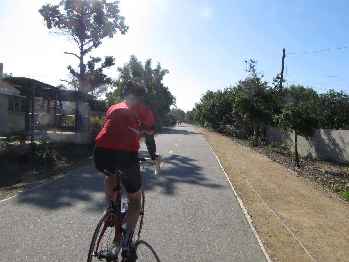
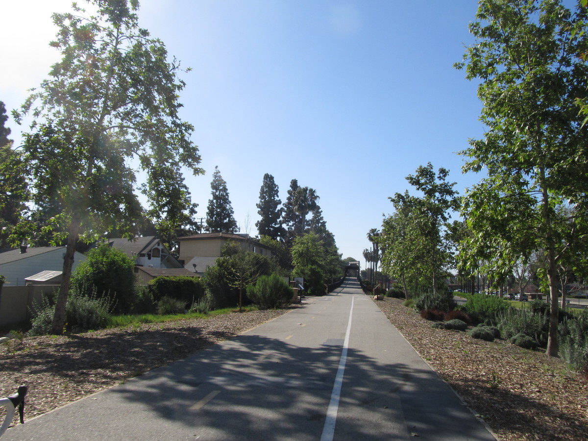
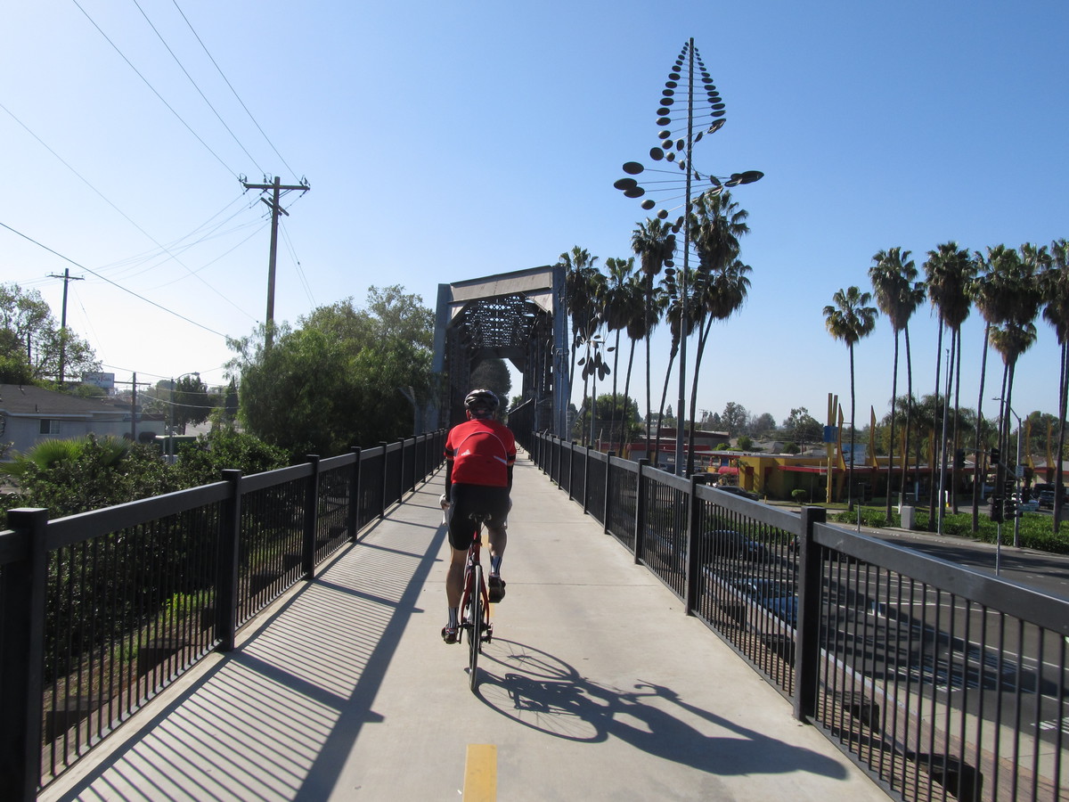
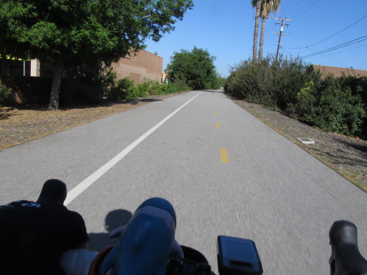
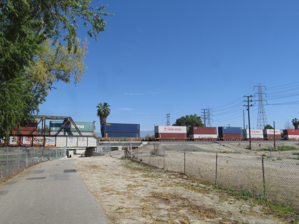
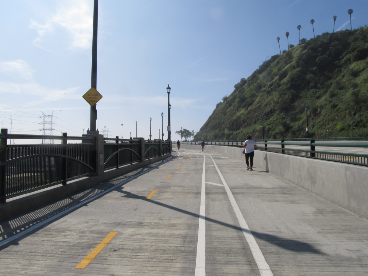
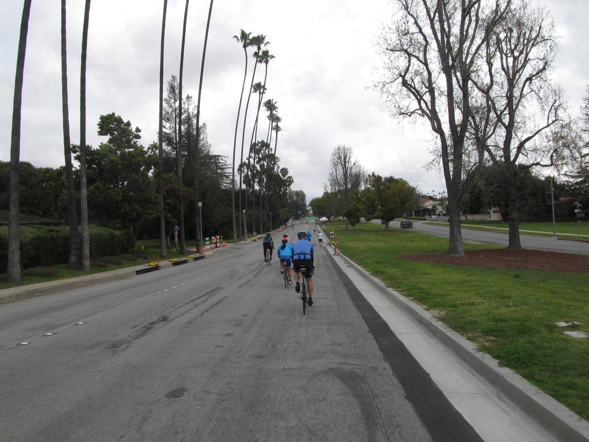
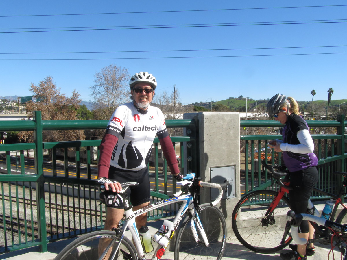
The route out there was almost the same as the route we took when we rode to Santa Monica last year. Through downtown, and then out to the west side by way of the Expo Line bike lane. At La Cienega and the old Air Line bridge, we picked up the Ballona Creek bike path and rode that down to the ocean by Marina Del Rey. Then we turned left and headed up the hill to Westchester.
When we got to the race I took a moment to ask around to see if the young girl racer we’d met on the Metro last fall was racing there. Sadly, the people from her club said she’d crashed, and her arm was in a cast. So I continued on until I found the group from Lightning Velo in Long Beach. And Cleave was there, having just finished racing. We talked a bit about racing in the old days in New York, and the races they used to have on Tuesday and Thursday evenings on Long Island. The one instruction we were all given at the start of each of those races was from the race master, Mr. Ando. He would tell us, “Don’t-a cross-a da double line-a!”
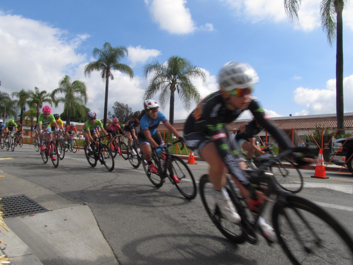
I hung around and watched the mens’ Category 3 and Category 4 races for a bit. I talked to a woman who turned out to be my age whose son was racing in the Category 4 race. She said he was going off to college in New York in the fall, so I told her what I knew about the racing scene there. NYC had a very good racing scene back in the ’70s, and it seems to be still going strong. The last time I saw it was in 2007, when I was there and made a point to go see the Wednesday evening races at the velodrome in Queens.
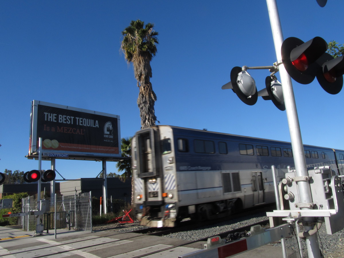
Leaving the race, it was time for the 10 or so miles back to the La Cienega Metro station. Which turned out to go by very quickly. There was a stiff tailwind coming off the ocean, and I was able to pretty much go top speed all the way there. Then I got on the train and rode it back to Pasadena.
45 miles, including riding home from the Allen Metro station