“And your little dog, too!”
 |
 |
 |
 |
 |
 |
 |
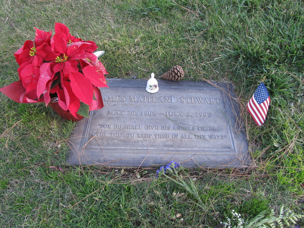
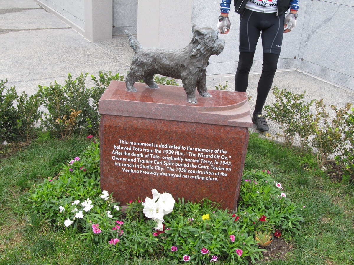
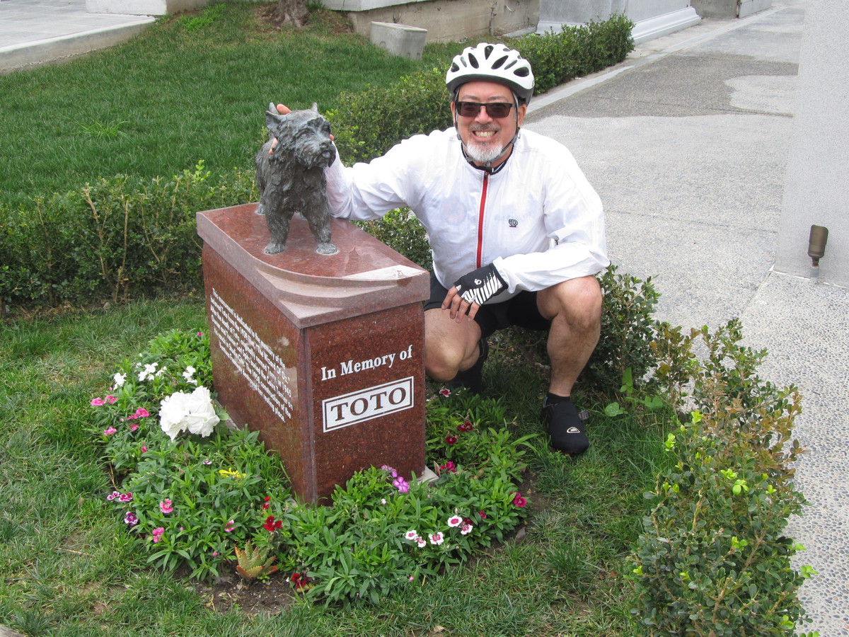
I recently read that there was a memorial monument at Hollywood Forever in memory of the dog who played Toto in “The Wizard of Oz”. So of course I figured it would have to be a sightseeing destination for the Sunday bike ride.
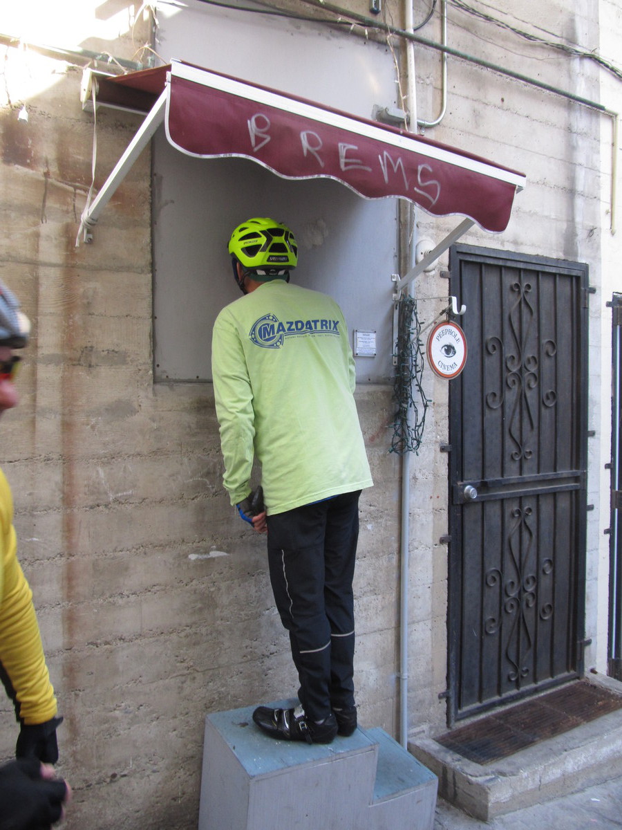
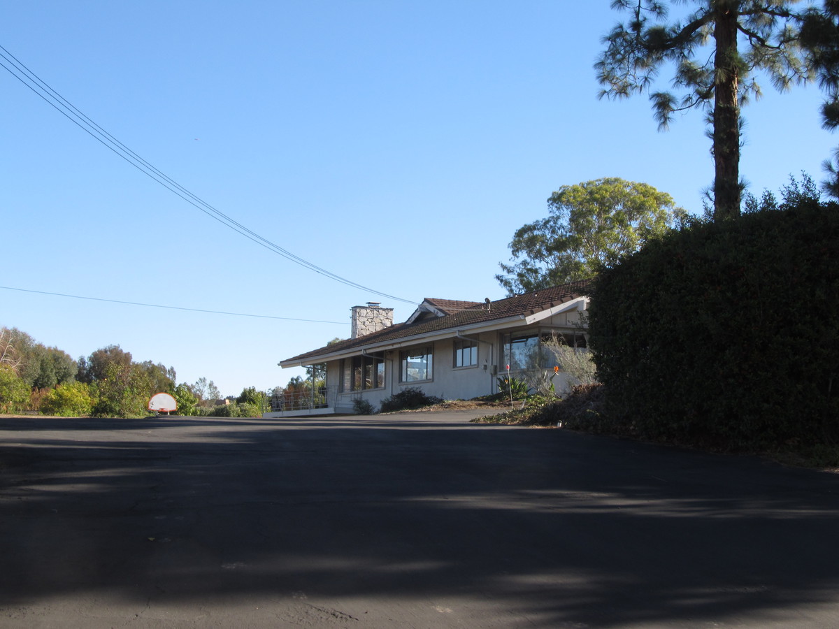
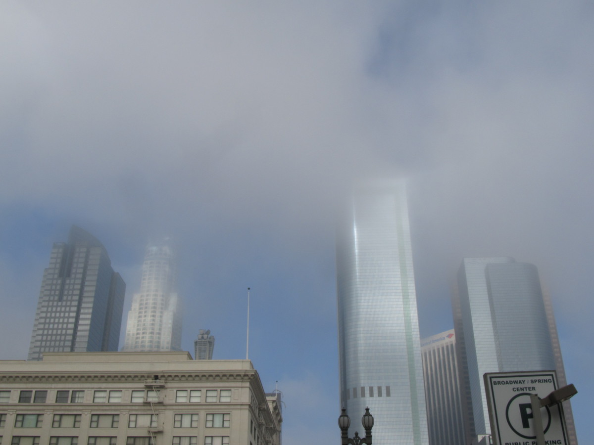
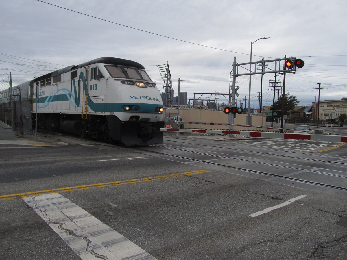
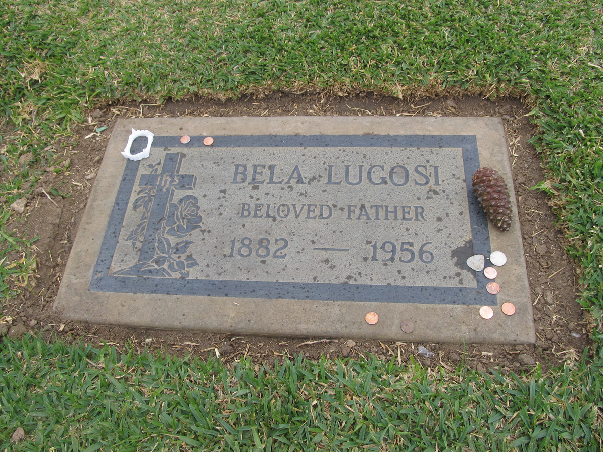
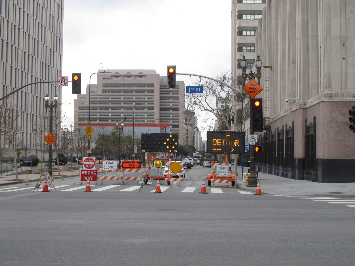
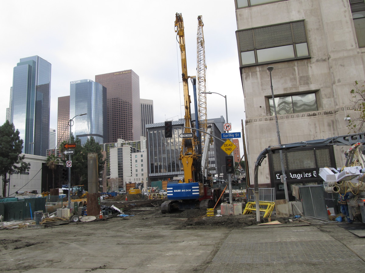
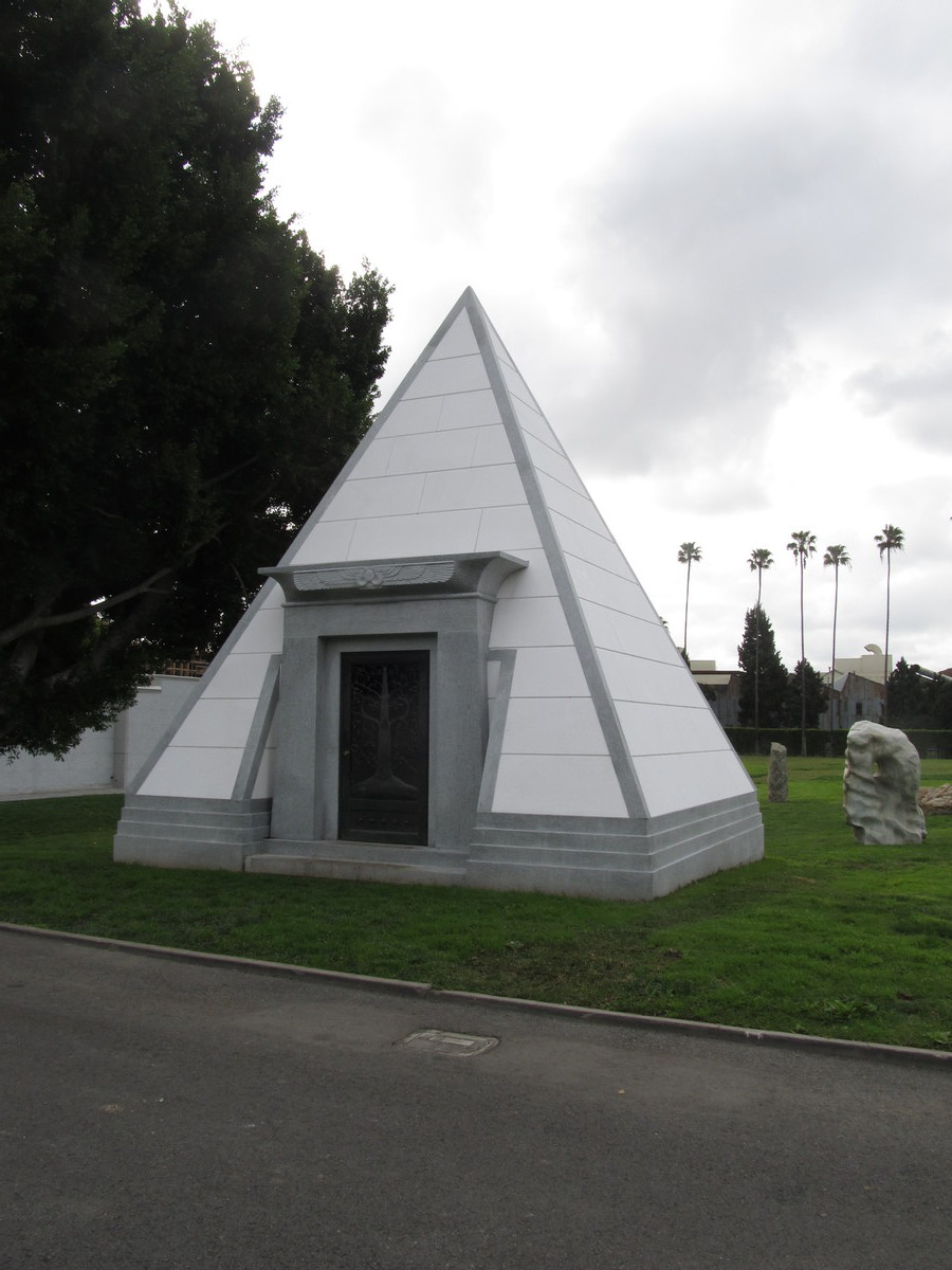
We started out heading into downtown L.A., and then out of downtown on 7th St. Along the way, we got to see how construction of the Regional Connector was coming along. The plan was to get to Larchmont Village for bagels at Noah’s, and then to go the short distance to the cemetery. When we got there, we asked the guy at the information booth, and he gave us directions to where the monument was. On our way there, we passed yet another pyramid crypt. I’d read some years ago that there were only three of these in Los Angeles County, and this one makes four. And we’ve been to see all of them now.
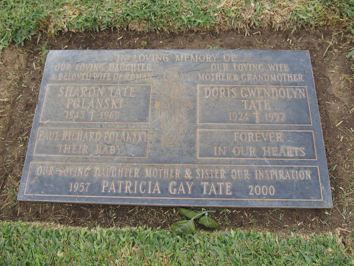
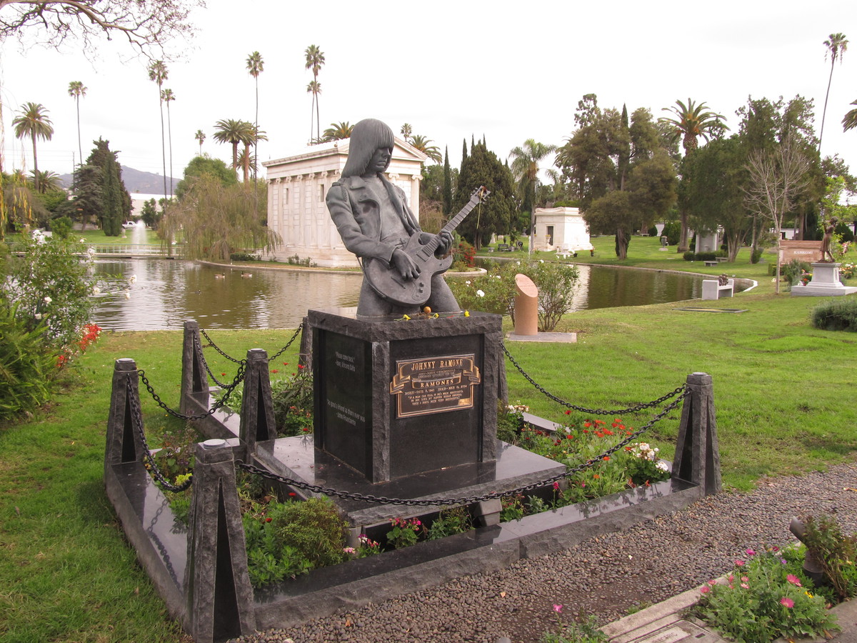
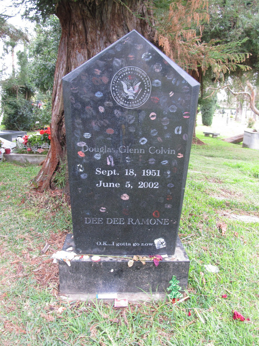
The bronze statue of Toto is life-sized, and I’m surprised I’d not seen it before, since it’s basically right across from the monument to Johnny Ramone. And while we were there, I stopped off to look at Dee Dee Ramone’s grave, which was covered with a larger-than-usual number of lipstick kisses.
For our route home, we began by taking the advice offered by Bette Davis, and we took Fountain. Then we crossed the L.A. River and headed up Eagle Rock Blvd, and then home across Highland Park and South Pasadena. It was a pleasant ride.
39 miles.