Rainbow Donuts
 |
 |
 |
 |
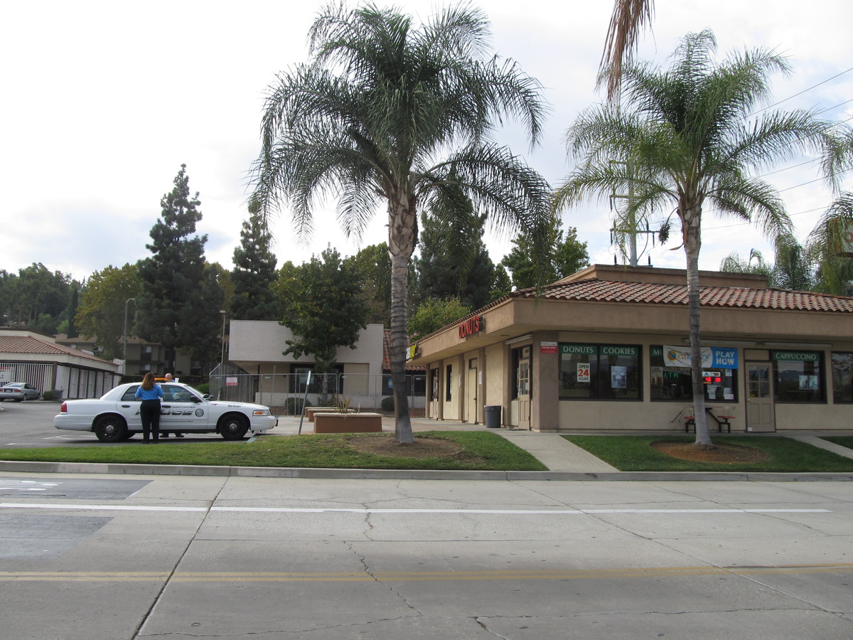
Some months ago, I read an article about a small family-owned donut shop in West Covina. It’s owned by a family of Cambodian immigrants, and they have been a fixture in the neighborhood for almost 30 years. And now Dunkin’ Donuts is talking about opening a store in the same shopping center next year. So today’s ride was just to go see the shop and the center it’s in.
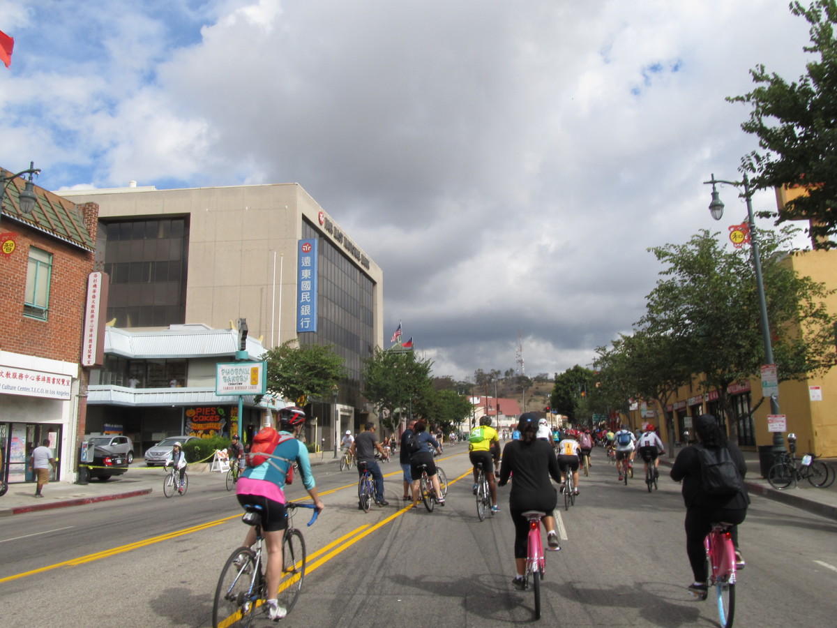
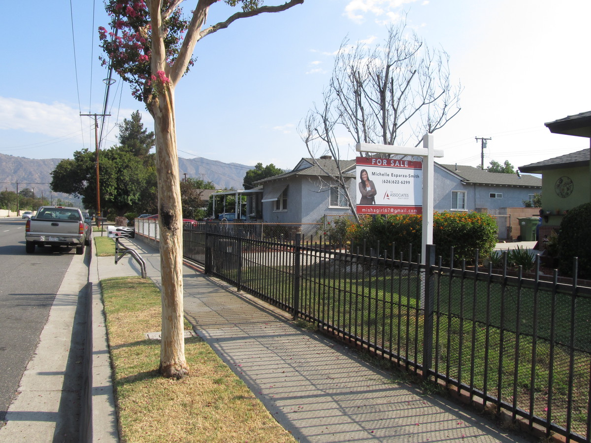
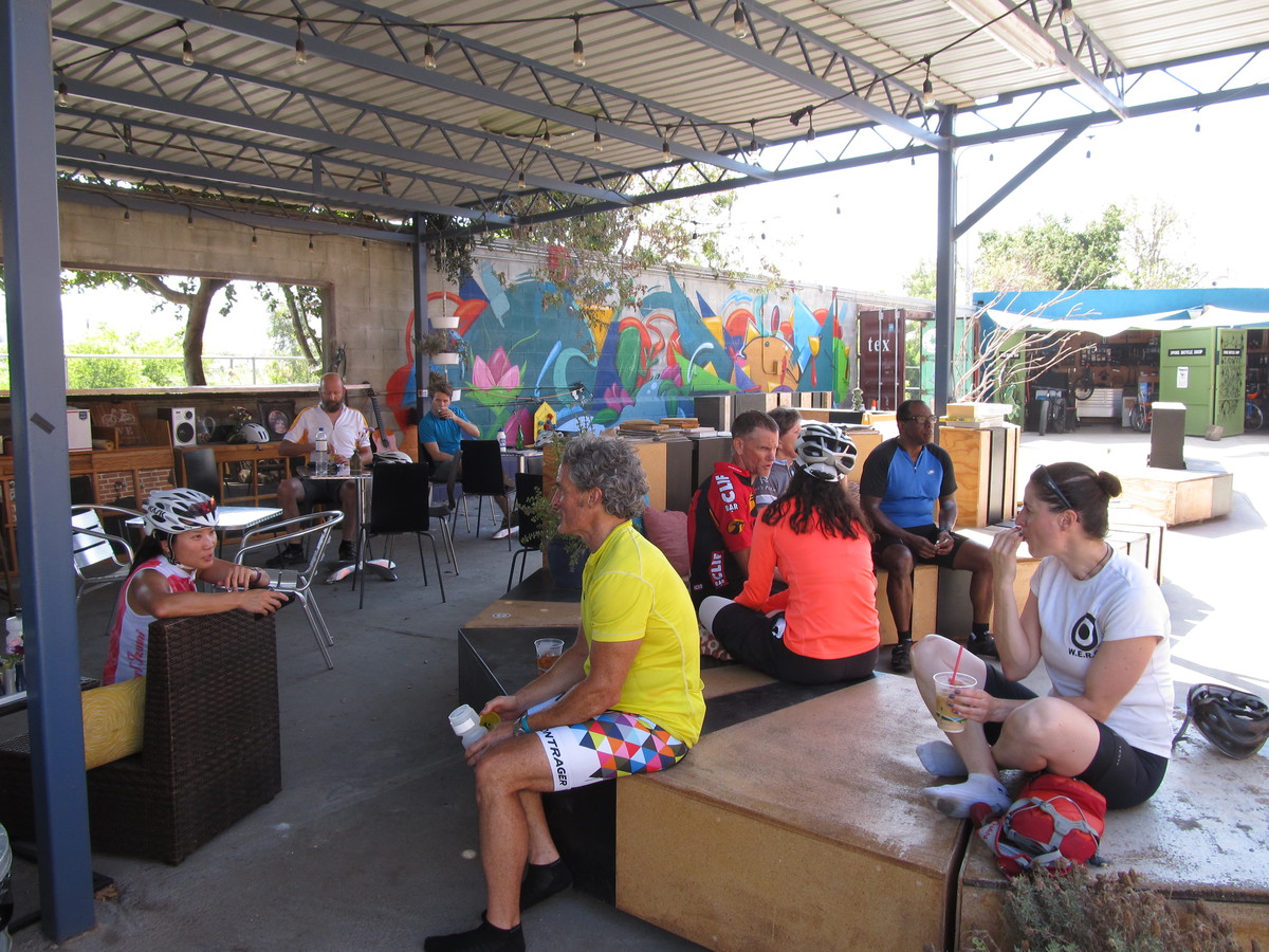
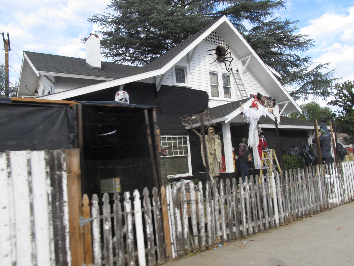
It was a cool and overcast morning. The forecast was for light rain later in the day, but it was pretty pleasant in the morning. We headed out east, and then south to get to West Covina. Along the way, we passed a house where the owners had really gone all-out decorating for Halloween. This was the same house that had the basketball-sized Christmas ornaments on the big tree next to it a few years ago. We were at the south end of the town, right up against the hills when we arrived. The donut shop is fairly unassuming. The sign was partially obscured by a tree. But there was a police car parked outside, so I guess that means the donuts are good.
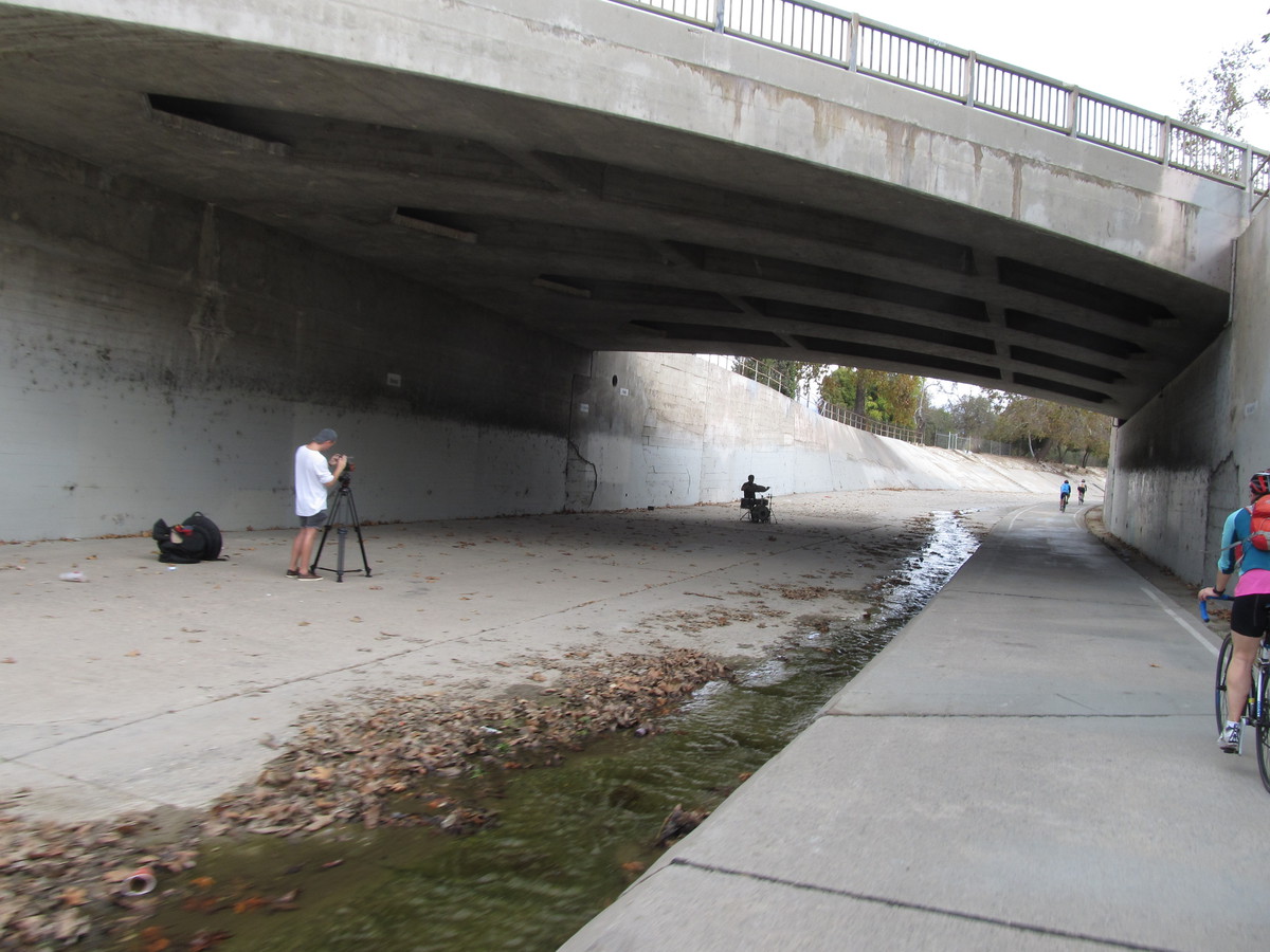
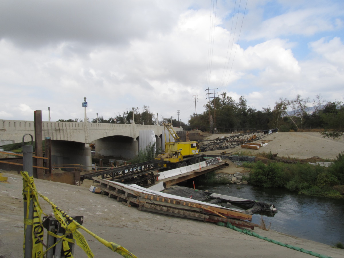
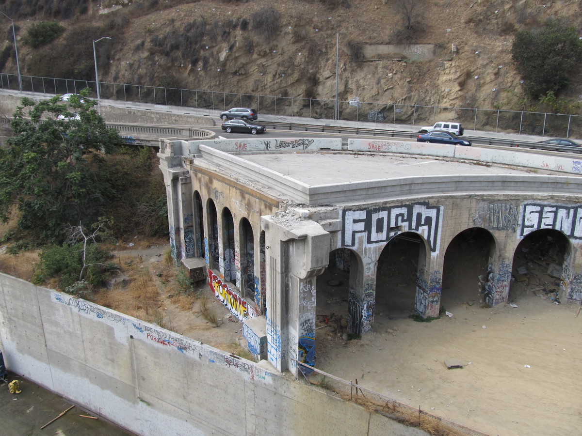
Heading home, we rode through a little residential area to get to Lark Ellen Ave. That was the one real hill of the ride. Short, but pretty steep. Then we headed north. The plan was to take the little bike path next to the drainage channel north of Cameron. But when we got there, it was closed. There wasn’t a sign or anything indicating why, but that meant we had to double back and go around. Then we stopped for snacks at Panera in West Covina.
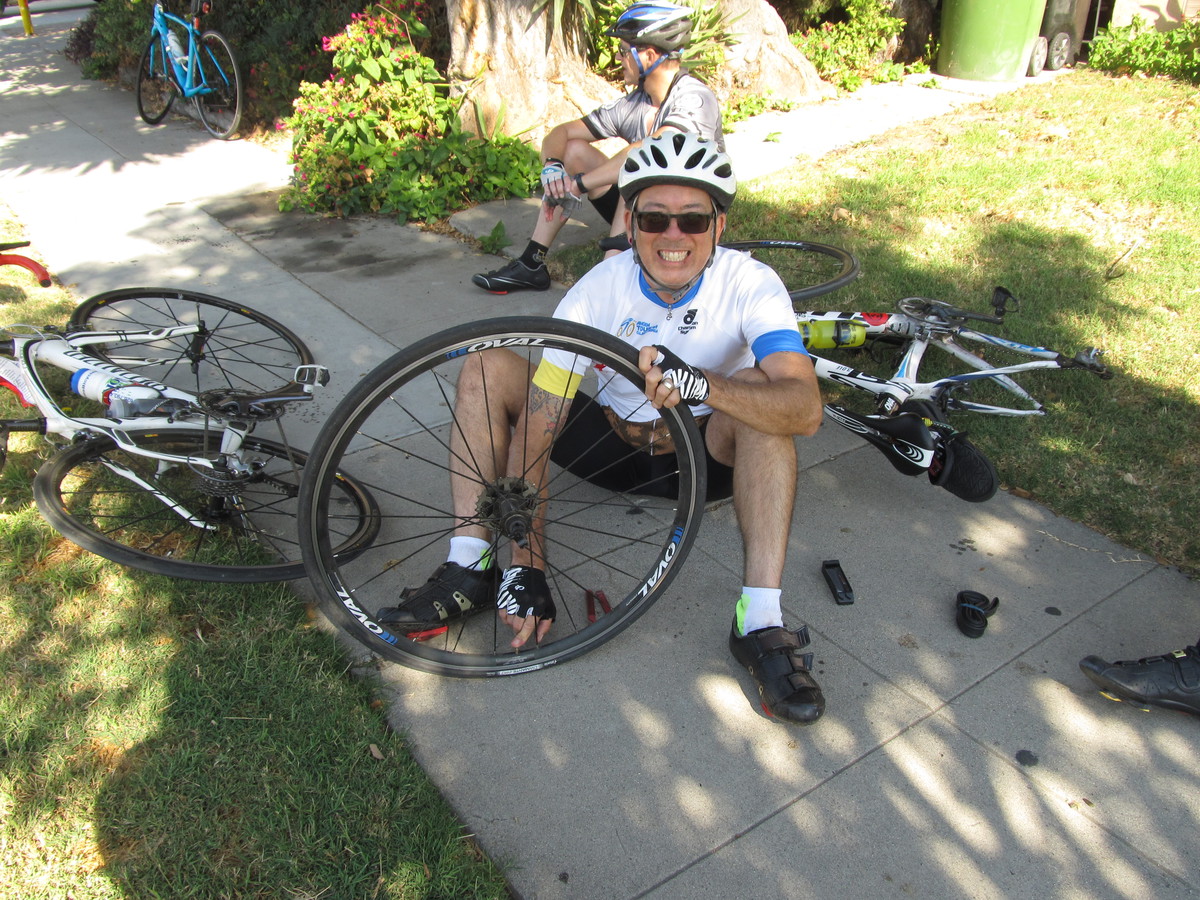
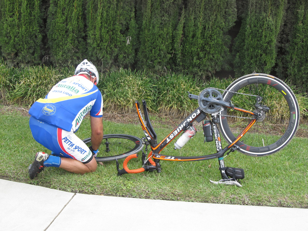
Heading home, we must have had a tail wind when we got on Arrow Highway by Santa Fe Dam. Without really trying, we were averaging over 20mph for no apparent reason. But then Silvio got a flat, so we had to stop for a bit. But once that was fixed, we headed home by our usual route. It was a pleasant ride.
40 miles.