Santiago Canyon
 |
 |
 |
 |
 |
 |
 |
 |
 |
 |
Today was Aunt Maggi’s “Girls’ Party”. Cathy usually takes Lucinda down there for the day, but because she is out of town, I had to do it. I was left with the afternoon to find something to do. So I brought my bike along and went for a ride.
I got the route from Hugo, who lives in the area and used to work at my office. I modified his route a bit to shave off a couple of miles, and I did it backwards. I thought this would work out better, since I knew I’d be finishing up near sunset, and I didn’t want to be riding down Jeffrey in Irvine into the setting sun.
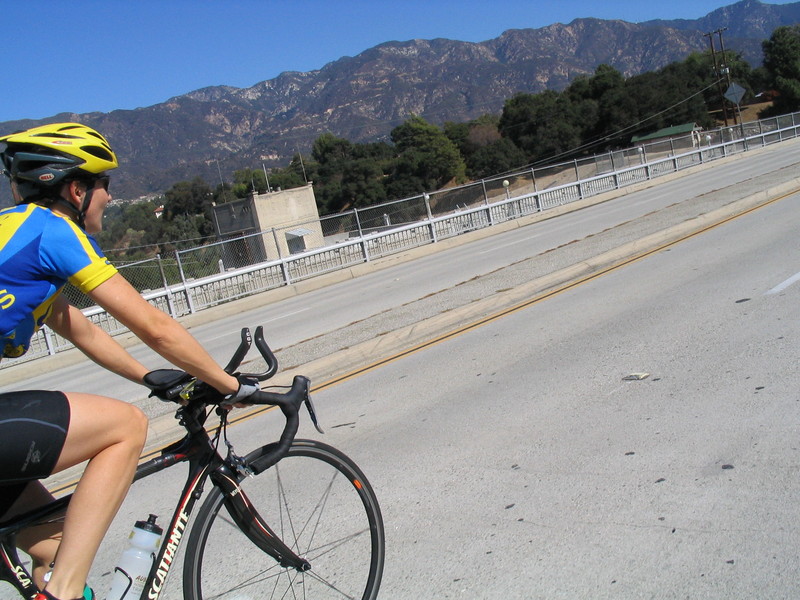
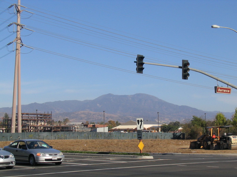
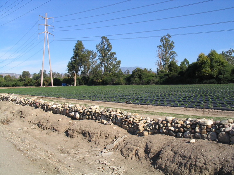
I started out going east on Jeffrey, towards the mountains. There was a good view of Saddleback from the start. Along the way, I saw strawberry fields, which still looks kind of odd. I’m not used to the idea that there is still farming going on in the depths of suburbia.
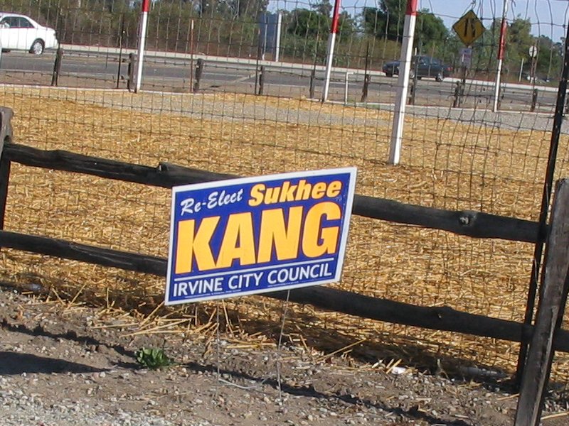
A little bit farther along, I saw a campaign sign for Kang, who was running for City Council. Of course, my first thought was, “don’t blame me, I voted for Kodos!”
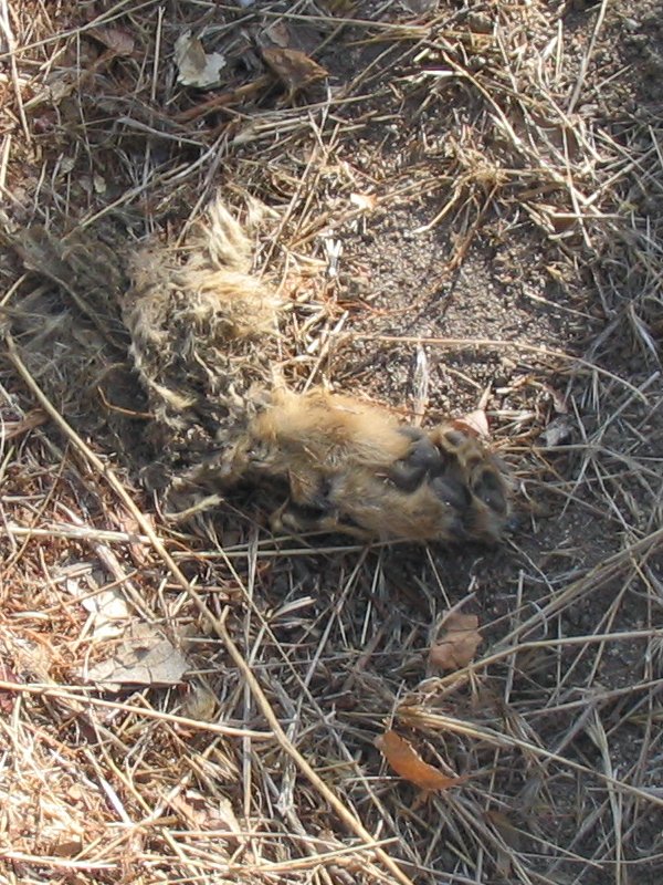
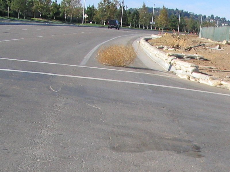
On Jamboree Road, I saw a tumbleweed. We don’t see them much up this way, but it shows just how close the suburbs come to wilderness.
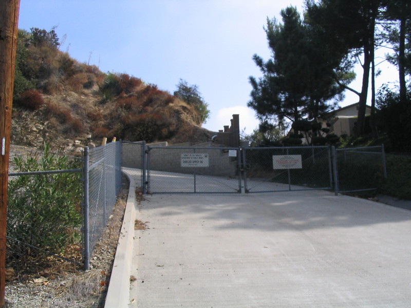
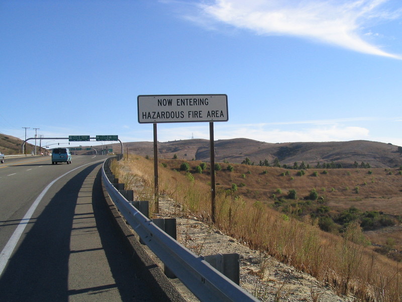
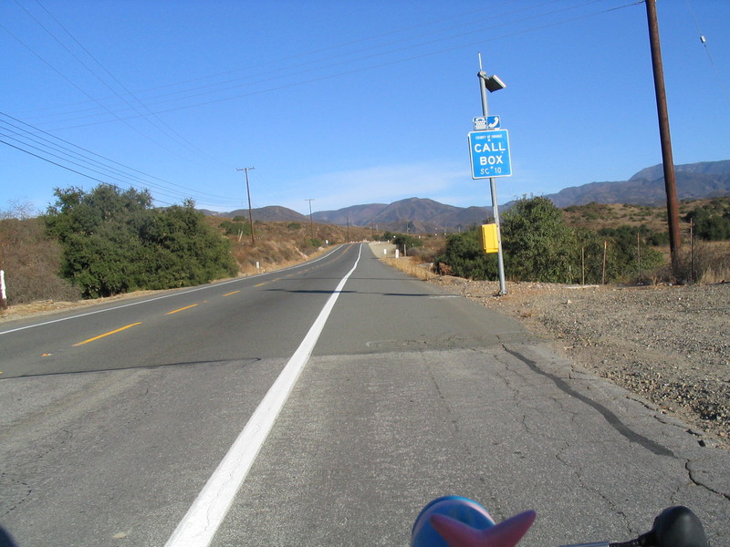
Turning up Santiago Canyon Road, there was a sign warning of fire danger. The canyon is quite scenic, and the road was pretty nice, even if there is a fair amount of traffic on it. There is a big bike lane the whole way, so it was pretty good.
A bit farther into the canyon, I saw a sign of the Nanny State at work. There was a sign that said “Concrete Barrier Ahead”. The barrier was in plain sight about 50 feet behind it. Duh. Glad they told me that.
I rode for a bit with a guy named Mike, who told me about how his job requires him to travel a lot, and how he has a bike stashed with friends in every city he goes to.
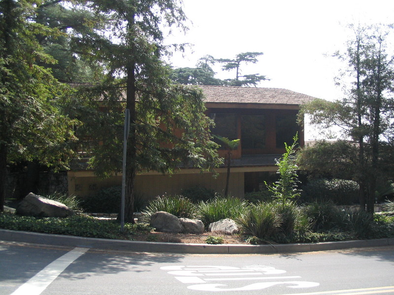
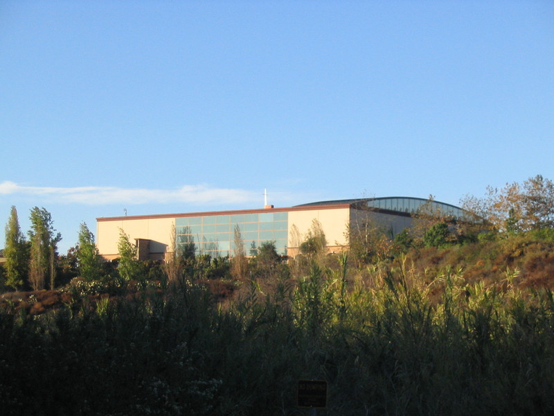
At the end of the canyon, I came out in Lake Forest. The bike lane split off onto a separate path, which was pretty nice. I got a view of Saddleback Church, which certainly deserves the ‘mega-church’ label. This is Rick “Purpose-Driven Life” Warren’s place. It had its own traffic light, and the entrance looked like the entrance to a stadium.
I followed the path a while longer, until it started wandering away from El Toro Road. Then I got off and took El Toro down into Lake Forest.
A right on Muirlands got me going north again. There were some more fields, complete with a ‘Tractor Crossing’ sign, which I collected for the Animal Crossing Signs gallery.
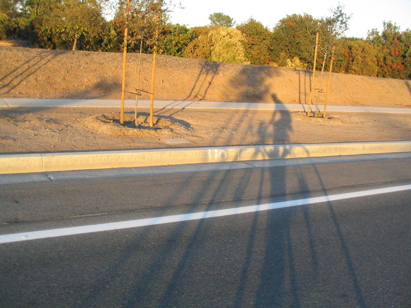
Muirlands turned into Barranca and brought me back into Irvine. By now, the shadows were getting long, and it was time to be done.
It was a very pleasant ride.
37 miles.