Doheny Library at USC
 |
 |
 |
 |
 |
 |
 |
 |
 |
 |
 |
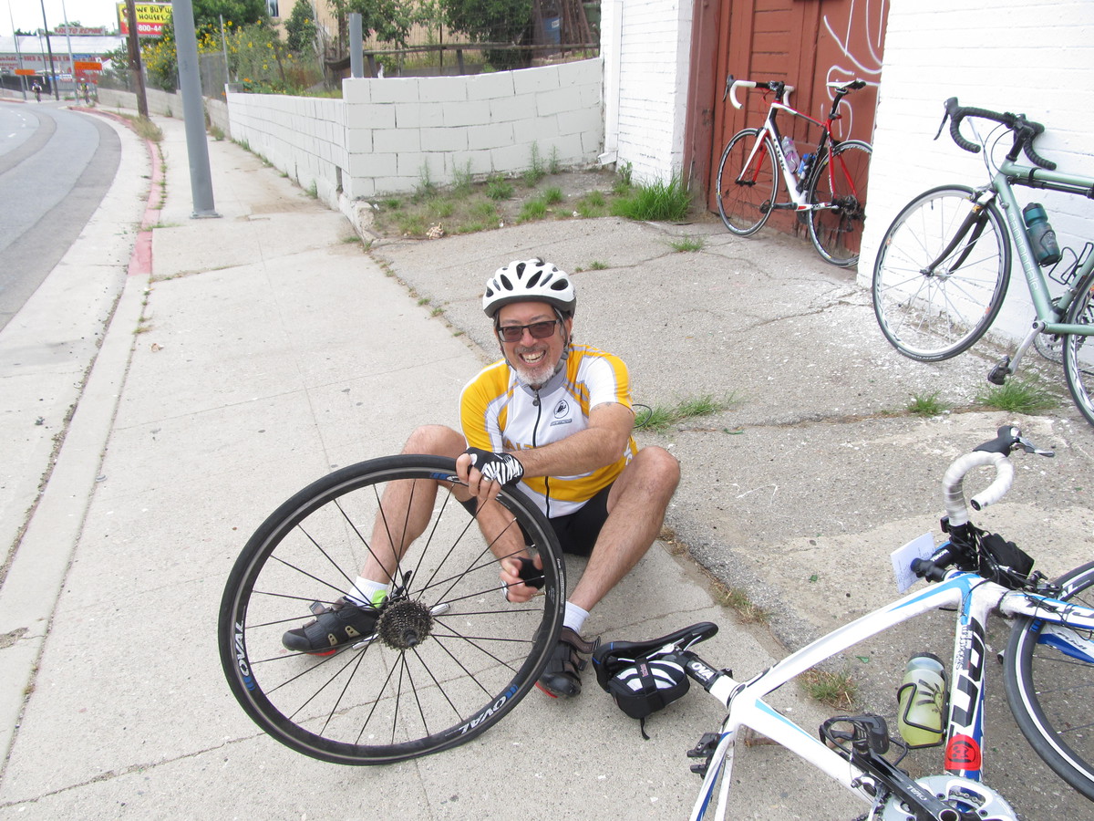
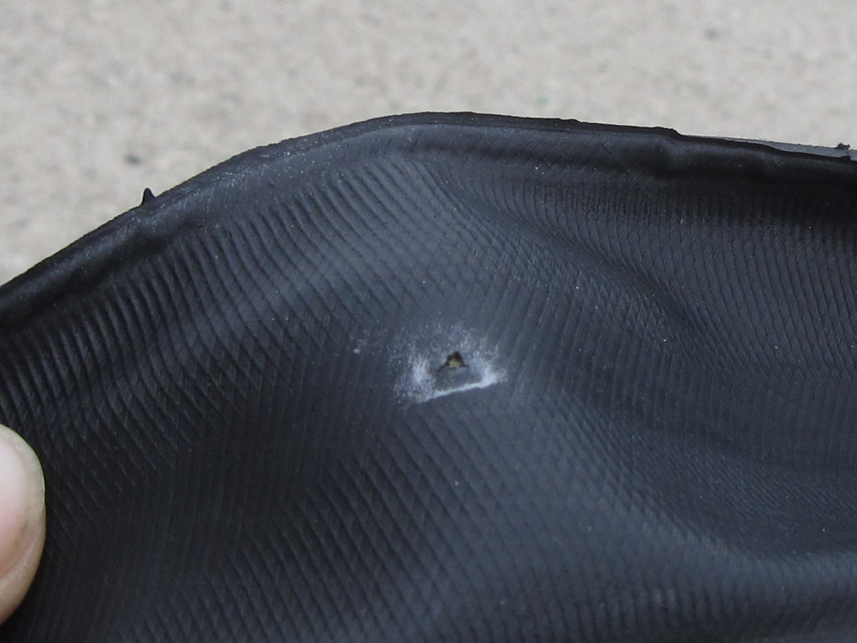
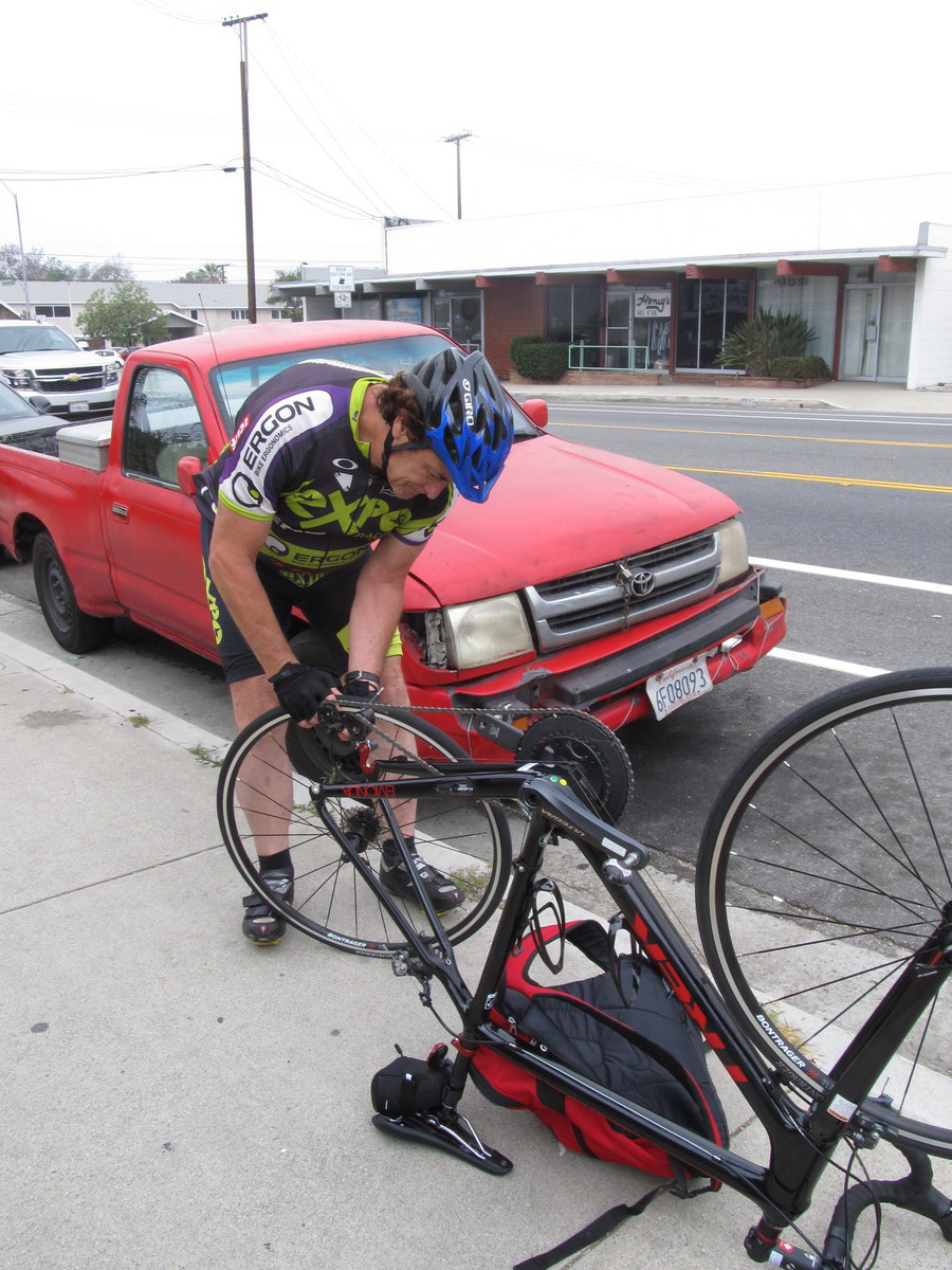
Today’s bike club ride was a mishmash sightseeing ride.
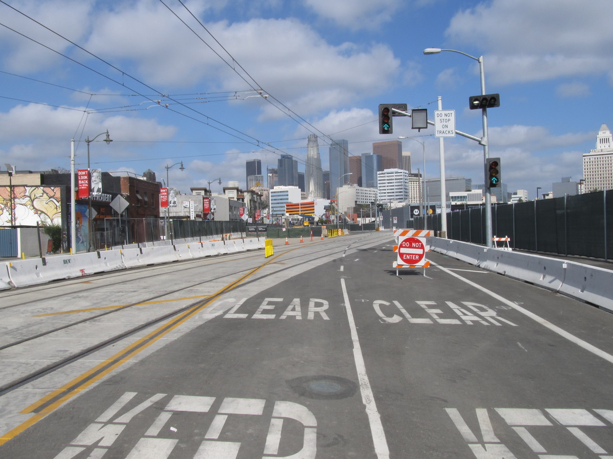
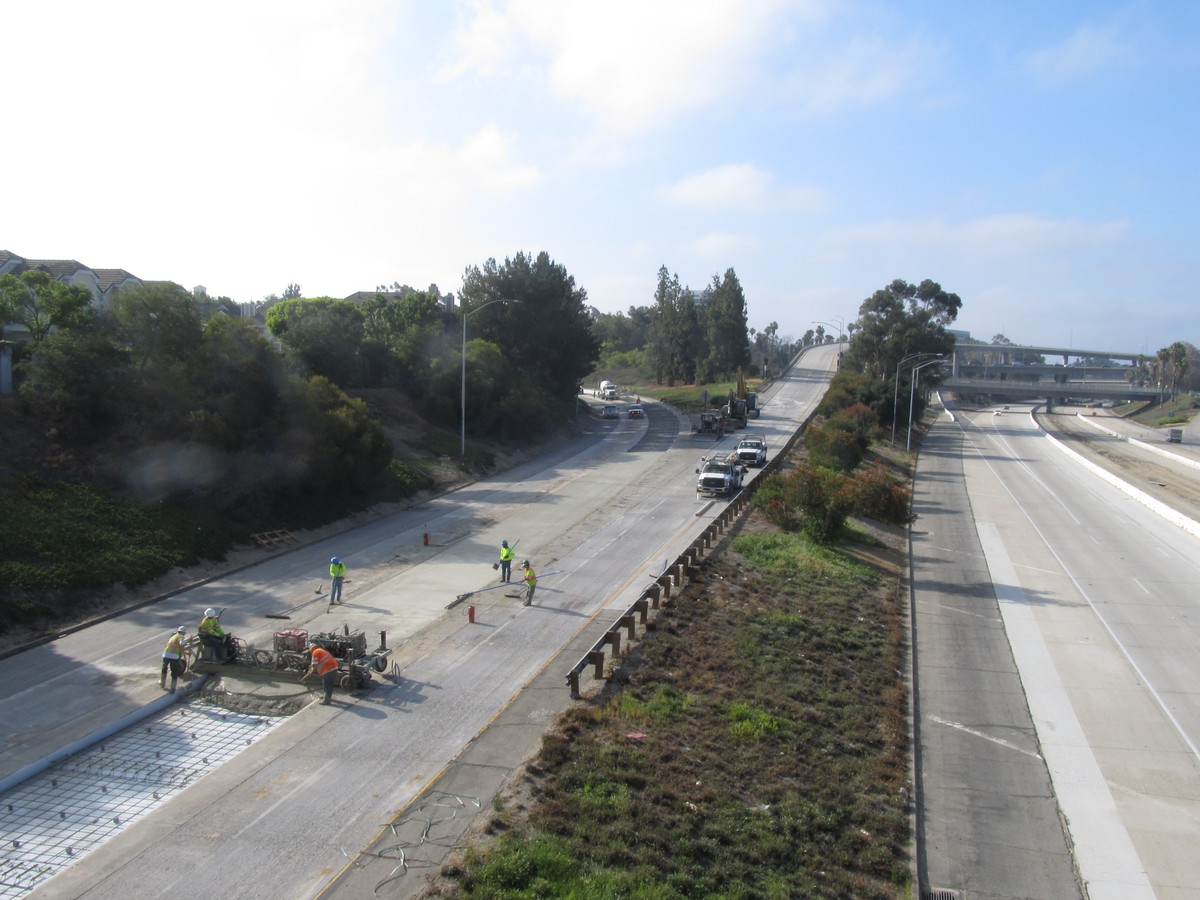
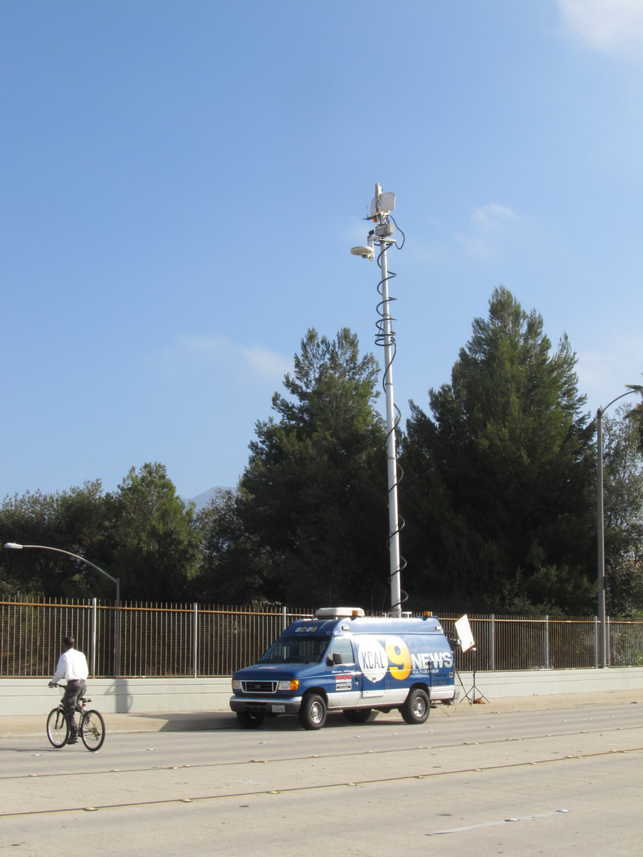
The first bit of sightseeing was the closed bit of the 210 freeway in Pasadena. This didn’t have a catchy name, like “Carmageddon” did, but seeing a freeway with no cars on it is strange no matter what. There was even a news truck parked on the overpass. But when we looked, it was really only the ramps that feed into the northbound 210 that were closed. It was really pretty anticlimactic.
Continuing on, we headed south into downtown Los Angeles. We took a short detour to go see the old Fire Station 23 on 5th St. This was the location used for all the firehouse interior scenes from the 1984 “Ghostbusters”.
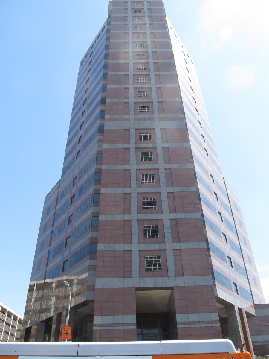
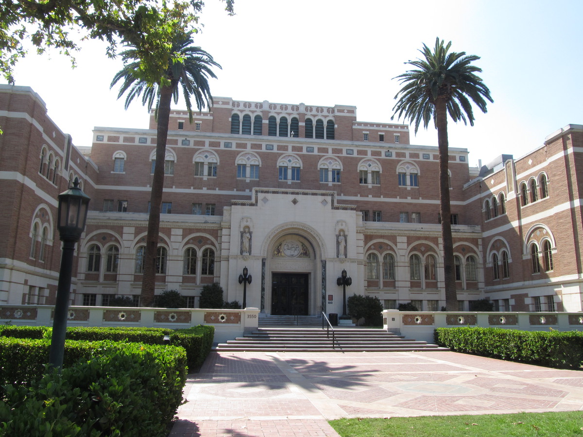
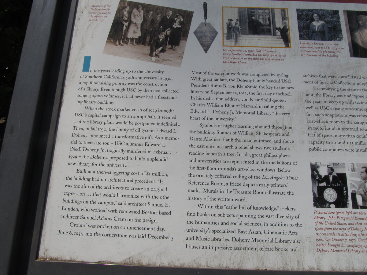
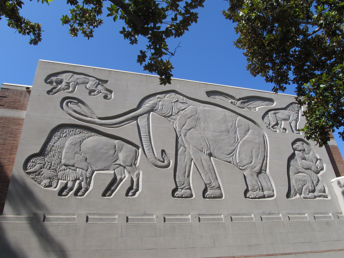
The main bit of sightseeing for the day was Doheny Library at USC. I had recently been to a talk at Caltech where the retiring Vice President of Finance told us a story about the library building. Apparently, when Rice University was starting up, they had their architect design the main administration building, as well as the library. The two buildings were meant to form the ends of the main academic quad on campus. But due to some financial trouble, the library was never built. In the meantime, Edward Doheny gave USC a donation to build a new library. They contacted their architect, who was the same one who had designed the buildings for Rice, and he told them that he had a library already designed and ready to build, so that’s what they did. So in the end, the building that was designed to be a companion to Lovett Hall ended up being built on the USC campus. When I heard this story, I figured it would make a good sightseeing destination, both for the architectural interest, and because Amiee and I are both Rice alumni. And sure enough, it looked a lot like Lovett Hall.
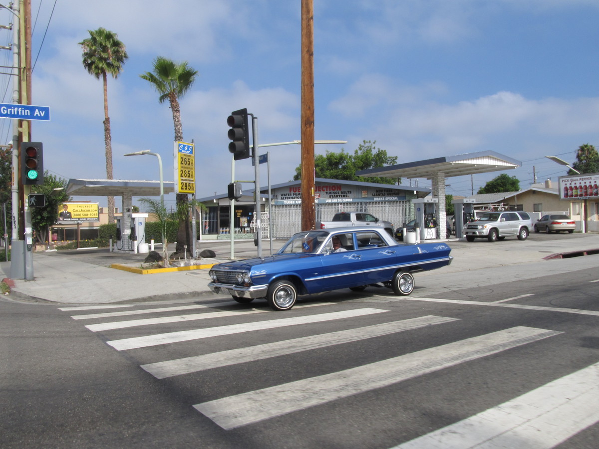
Riding back up Hill and Olive, we went back into downtown, and then turned west. The plan was to try a new route to get to Echo Park and Chango Coffee. I’d looked up a way to get there from Benton Way in Silverlake. And as it turned out, that way involved riding up and over a short, but terrifyingly-steep hill. It’s pretty rare that I have to use may lowest gear, but it came out today.
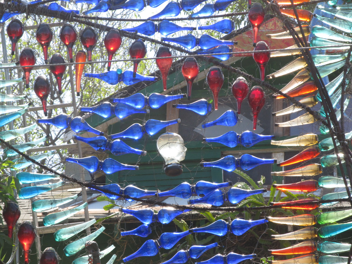
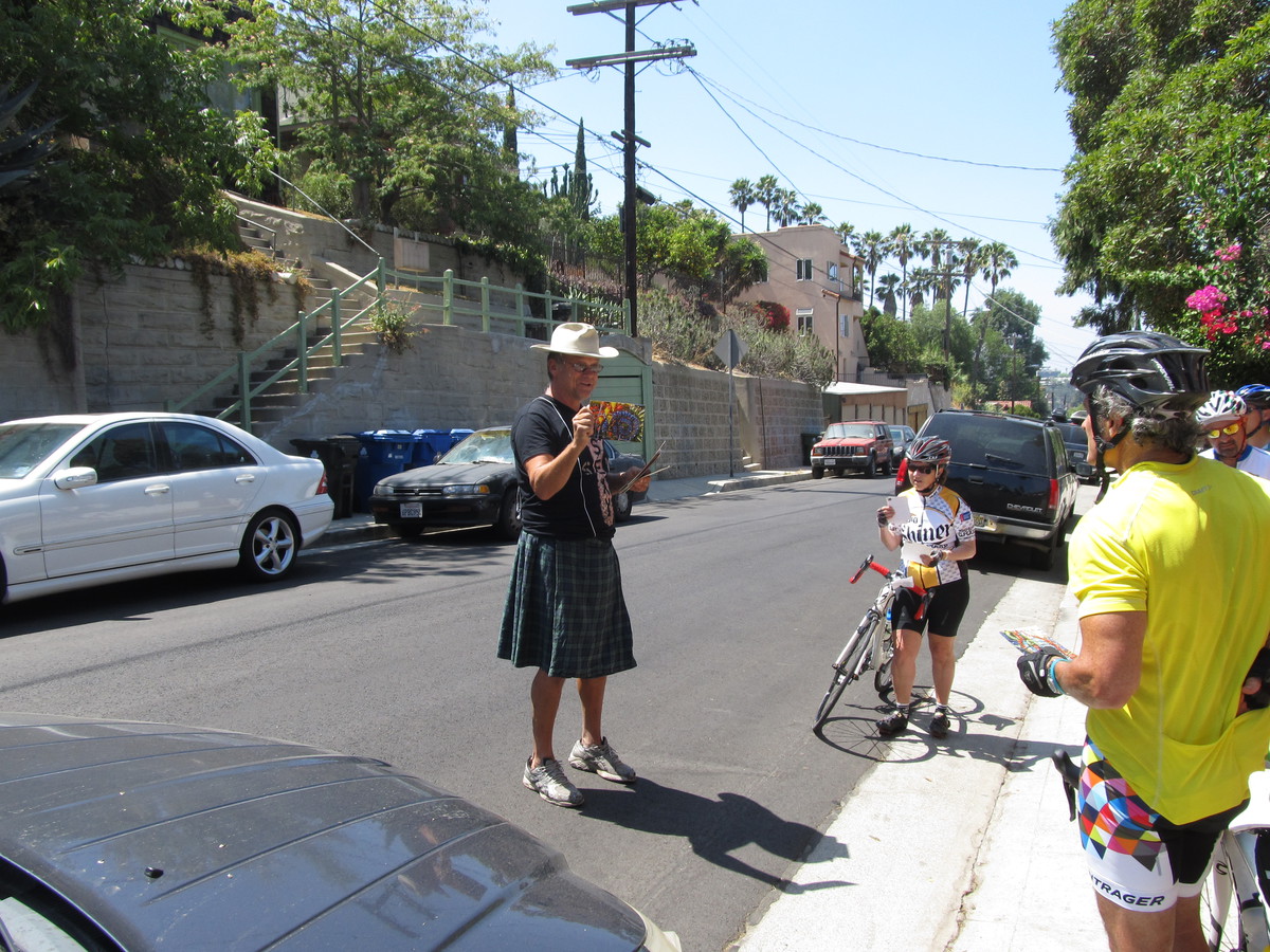
Once we made it over that hill, we were in Echo Park. But we had one more bit of sightseeing. I’d read an article in Atlas Obscura about Randyland, which is a big art project in front of the artist’s house. And as it turned out, he saw us on the street and came down to tell us about it. That was nice, like the time we got the special tour of the backyard boat in Sun Valley.
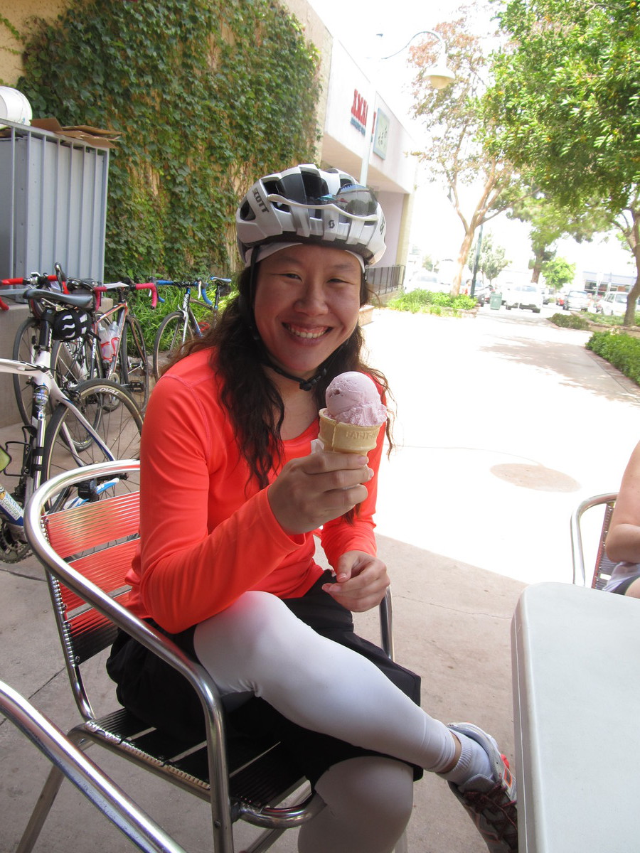
Our snack stop was at Chango Coffee. Then we rode around Dodger Stadium to Chinatown, and then back to Pasadena by was of the Arroyo Seco bike path. It was a pretty entertaining ride.
45 miles.