No celebrities, but a roast none the less…
 |
 |
 |
 |
 |
 |
 |
 |
 |
 |
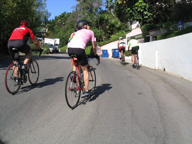
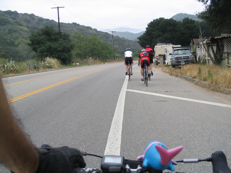
Today I met Gene for a ride out to Encino to the velodrome. I had heard that they were going to be doing 1/10-scale radio-controlled model car racing there. I thought that this would be something interesting and different to see.
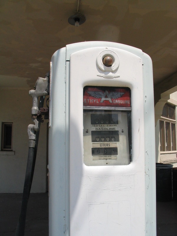
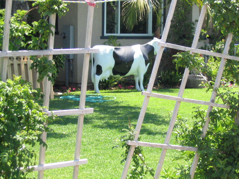
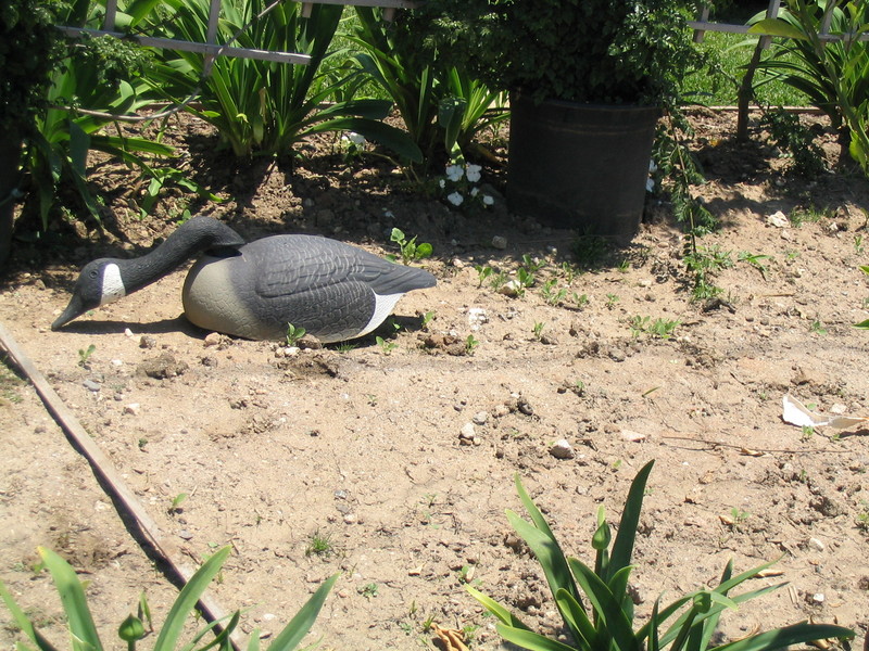
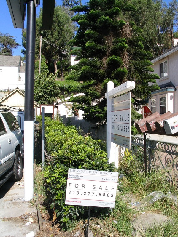
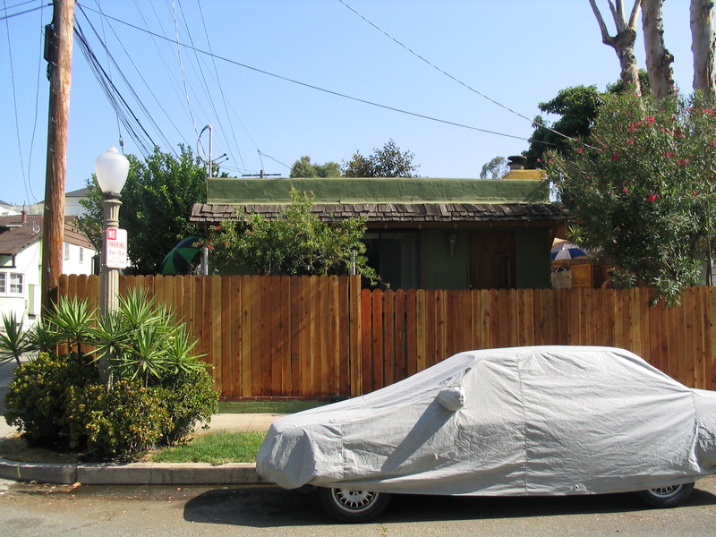
On the way out, we stopped off at the tiny house we’d seen back in April. We wanted to see if it had sold, and indeed it had. It had a new coat of paint and an owner out tending the garden. We chatted with her a bit and we were glad to see that the tiny house had found some love.
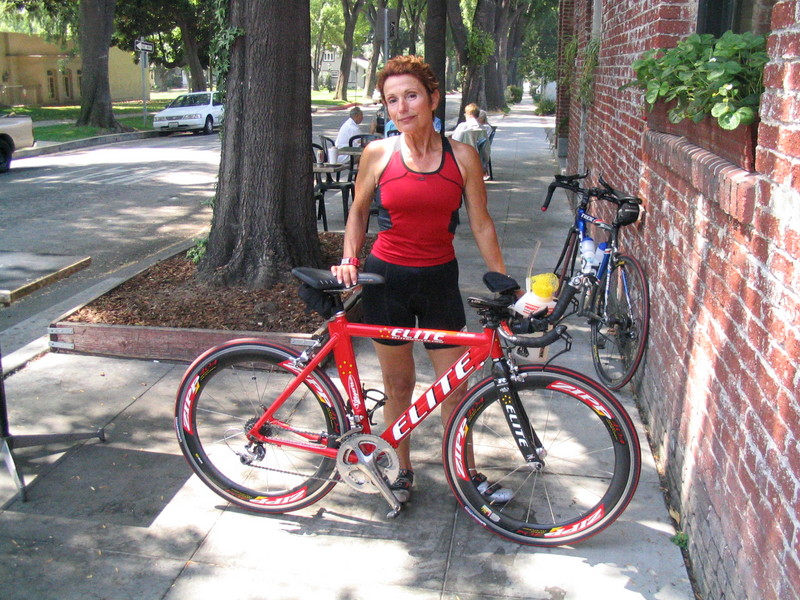
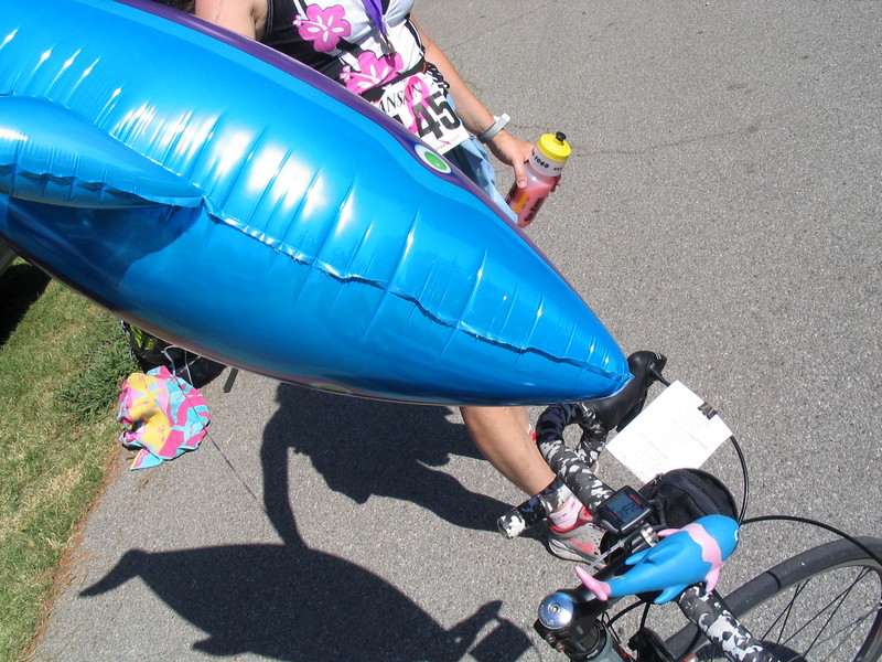
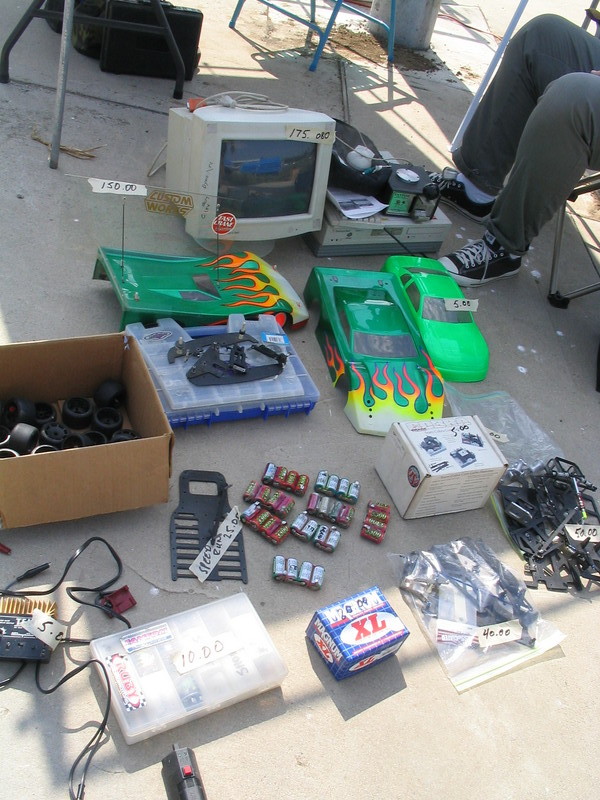
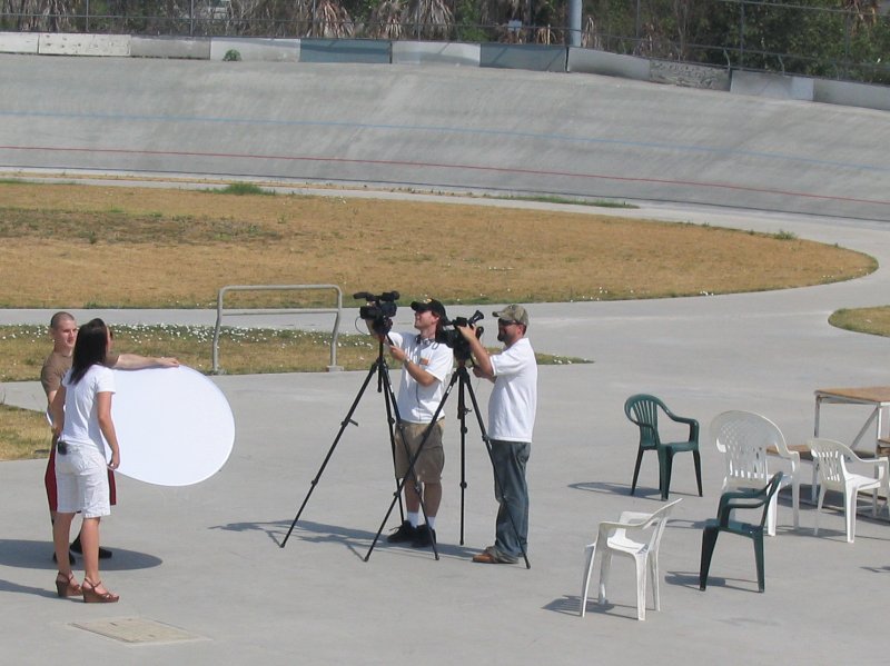
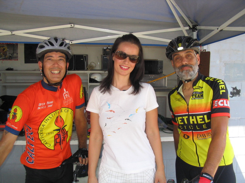
When we got to the velodrome, some of the racers were doing practice laps. The cars were going quite fast. Oddly enough, there was a rather attractive young woman with a camera crew there. Given that radio-controlled race cars are kind of a geeky hobby, her presence seemed a bit odd. So we asked them about it. They were from The Outdoor Channel, which has a show called Inside R/C. So they asked if we wanted to be in the sign-off for the show. We stood on either side of the host, Anna Curtis, while she recited her spiel. She finished with, “and now it’s time for us to go, because these guys want their track back”, while we just smiled stupidly. It was fun. They said that the show would probably air in the fall, so if anyone has cable and can get me a screen-capture, that would be great.
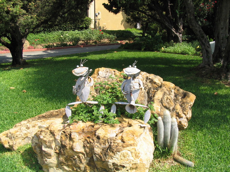
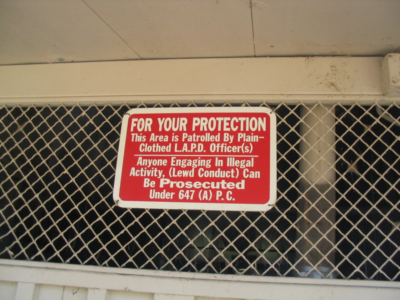
We left the velodrome and headed back across the park. We stopped to refill our water bottles at the water fountain right below the sign warning that ‘lewd conduct’ would be prosecuted. I’m not sure I want to know what goes on in that park after the soccer games are over.
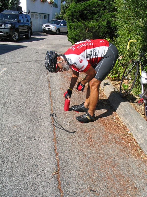
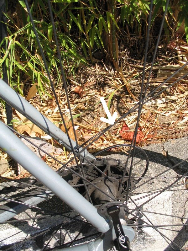
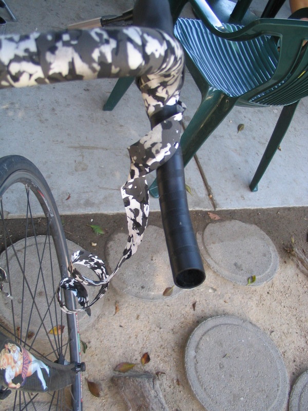
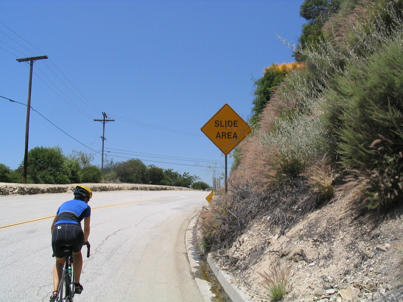
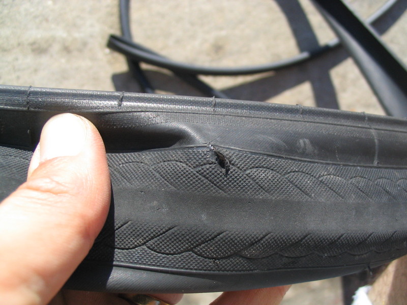
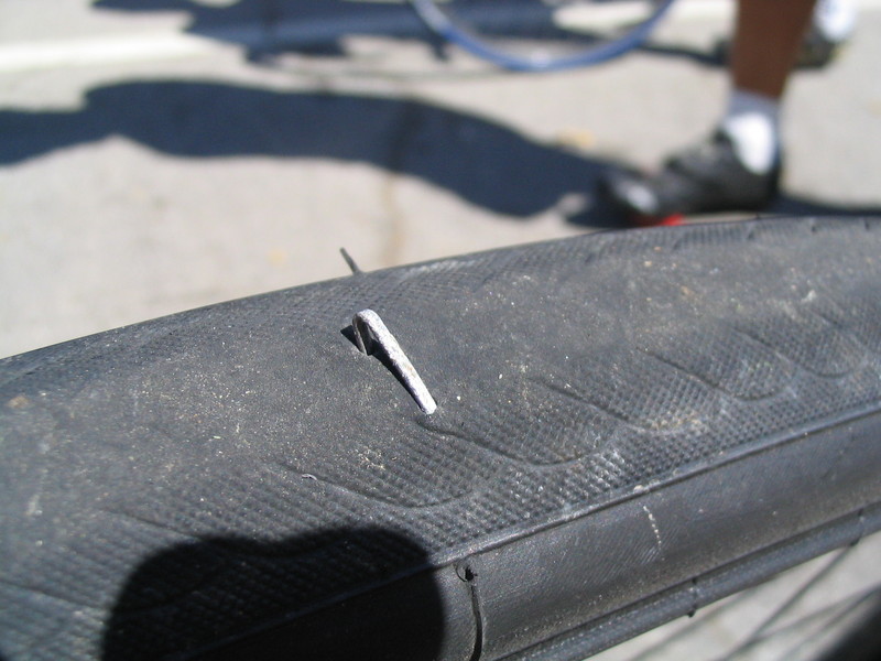
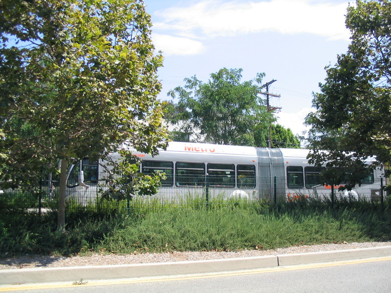
We took Burbank Blvd to Van Nuys and then went down to Chandler, which is a nice, tree-lined street. The shade was a good thing, because I got a flat there. So we stopped in the shade of a big tree and I fixed the tire. The eastern part of Chandler is where the Orange Line busway is, and we got a look at the big articulated bus. It was very quiet, which is maybe why when it first opened it broadsided lots of cars on the cross streets.
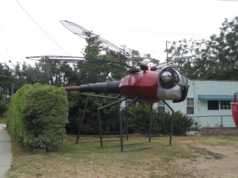
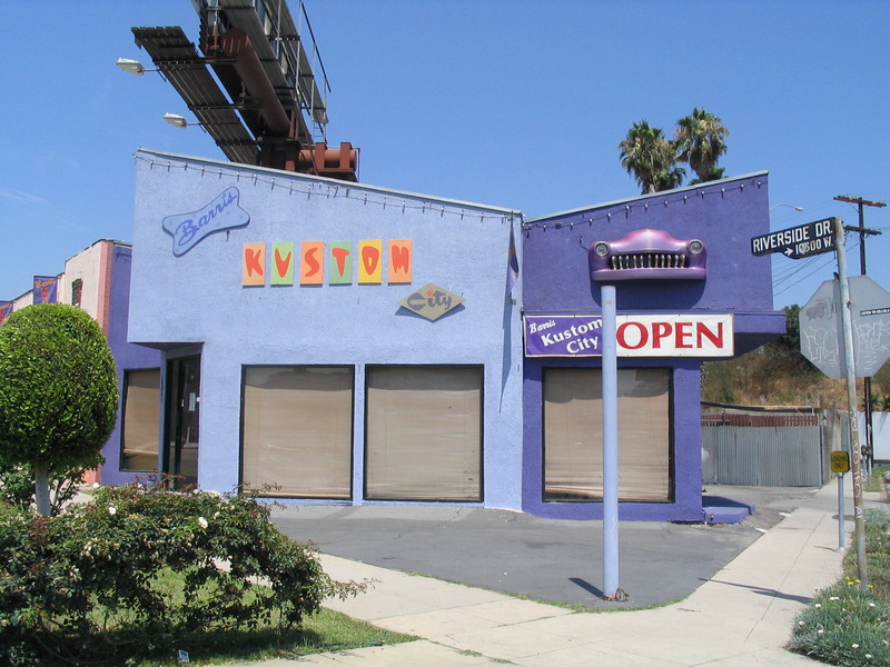
On Riverside Drive in Toluca Lake we saw the Barris Custom shop. He is perhaps best known for building the 1966 Batmobile, but his shop makes a lot of weird vehicles for the movies.
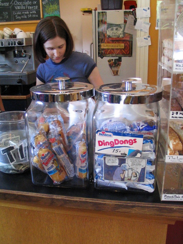
In Glendale we stopped at a Carl’s Jr. and got some cold drinks. I filled my water bottle up with ice and water and then drank the whole thing twice. We sat in the air conditioning for a little while before braving the heat again.
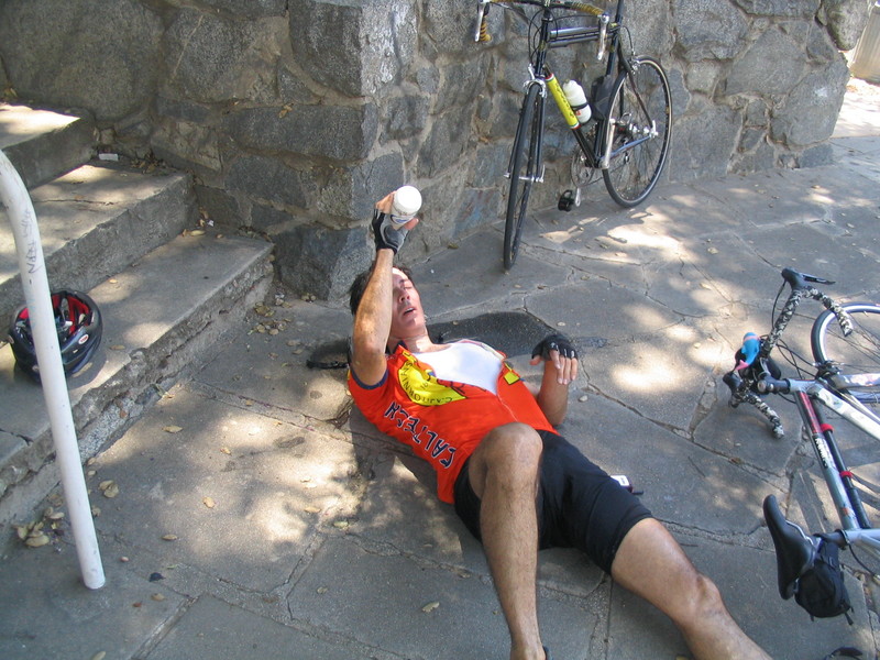
In Eagle Rock I hit the proverbial wall. There was no shade and it was well over 100 degrees. I just started riding slower and slower. On the Colorado hill I actually shifted down to my lowest gear and just crawled up the hill. Fortunately, after that there were no more hills. But we had to stop at Memorial Park in Pasadena so I could lie down in the shade and pour water on my head. I think I had heat exhaustion. It was so bad that for the rest of the ride home, I put my foot down at every light, rather than doing my usual track stand. And at the end, Gene rode with me all the way to my street just to be sure that I wasn’t going to keel over.
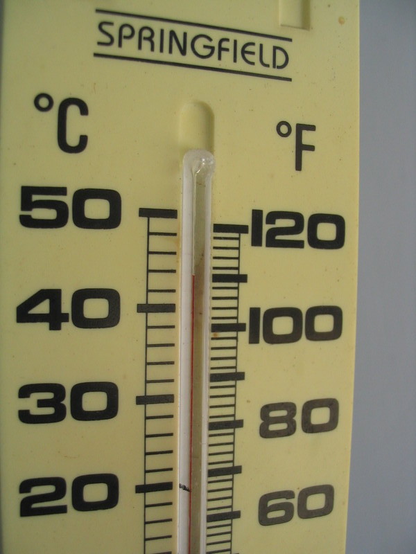
When I got home, the thermometer on the back porch said 110 degrees. That’s about 44C for non-USAnians. I drank my water bottle four times on the ride, which is over 3 liters of water, but I was still 7 pounds (3.2kg) lighter when I got home. Yikes.
59 miles, one flat tire, and heat exhaustion.