Three American icons
 |
 |
 |
 |
 |
 |
 |
 |
 |
Today’s ride was another cemetery sightseeing tour. We rode up to Mission Hills to Eden Memorial Park to see Lenny Bruce and Groucho Marx, and then to the San Fernando Mission cemetery across the street to see Ritchie Valens.
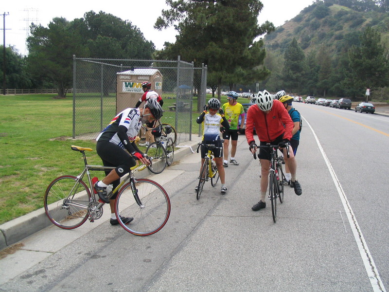
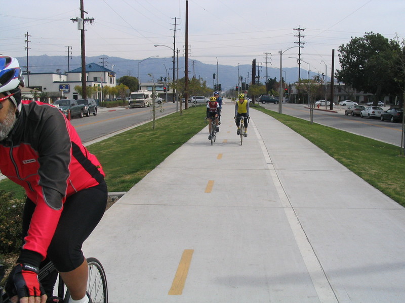
It was cool, overcast, and the forecast called for rain later in the day. We started out from Victory park, heading west on Paloma. At Hill we turned right and went up the hill. Then we went left to get on Woodbury to get out of Pasadena and pass by JPL.
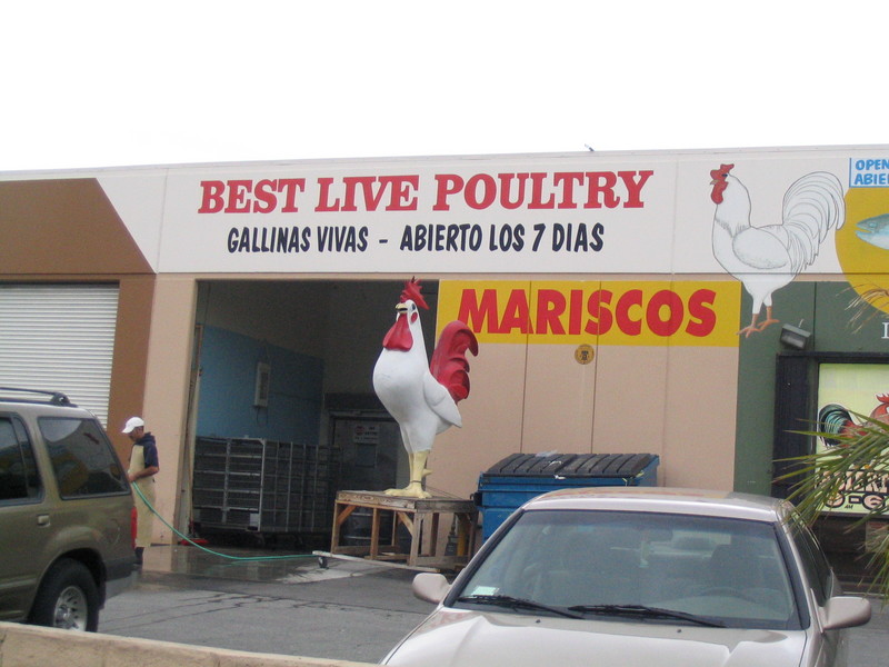
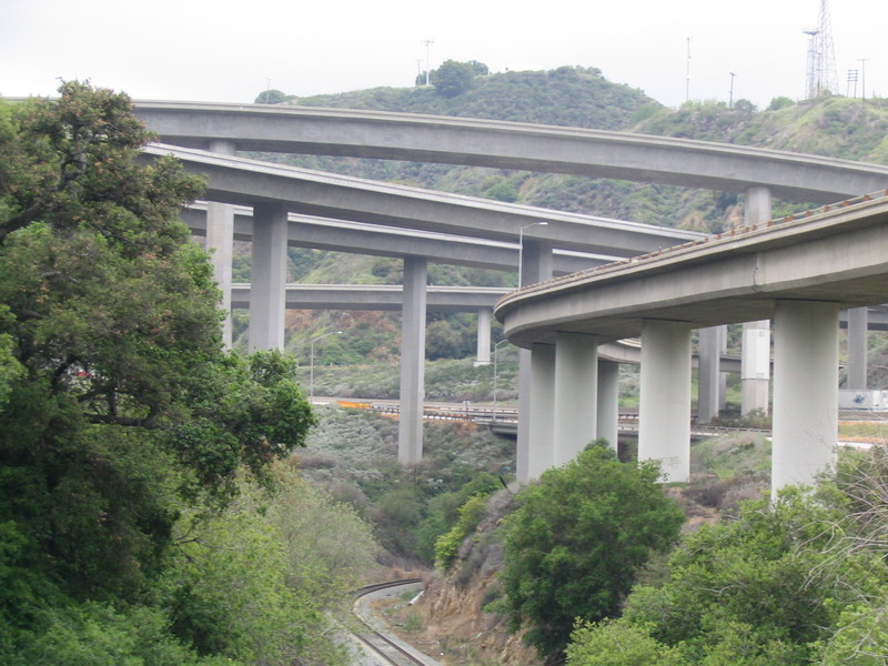
In La Cañada we took Berkshire, Chevy Chase and Descanso to get up to Foothill Blvd. Then we took a left and rode Foothill all the way across La Crescenta and Tujunga, passing by Hanson Dam and into Sylmar, where we passed the “Best Live Poultry” place.
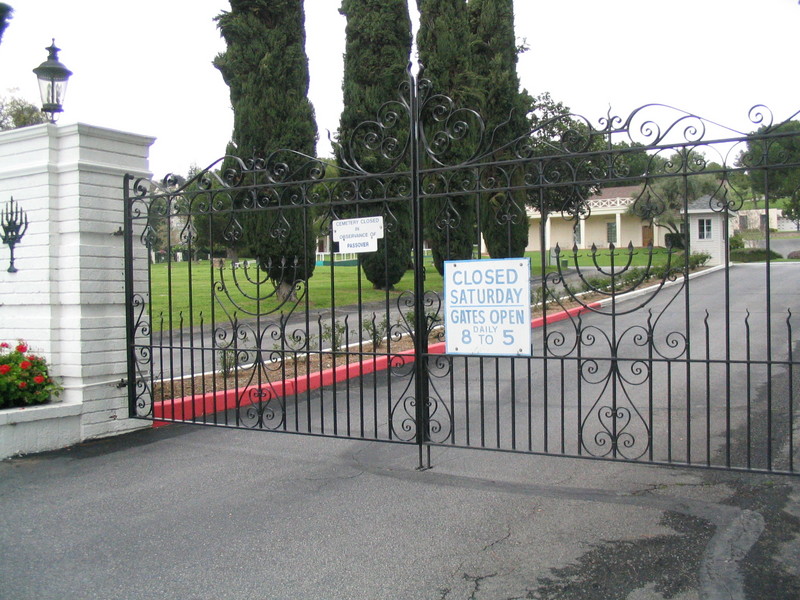
At Maclay we went left and rode through San Fernando. We went right a few blocks to get on Workman, which turned into Rinaldi and brought us to Eden Memorial Park. The guy at the front gate looked at us kind of funny and asked why we were there. We told him we were there to see Groucho Marx. He gave us a map and sent us up the hill. At the top of the hill it became clear that he had misunderstood and given us the map to the memorial service that was being held there that day. So we turned around and went back down the hill. We stopped about half-way down and found Lenny Bruce’s grave. Years ago I took a class at UCLA Extension called “How to Perform Stand-Up Comedy”, and we talked a lot about how Lenny was in many ways the father of modern stand-up. He was one of the first to break the old ‘two guys walk into a bar’ joke-telling mold. And he was rewarded with obscenity prosecutions.
Next, we went down to the big outdoor mausoleum and followed the directions that I’d brought along. We found the door to a small room, where we found Groucho Marx. Each niche has a small holder for flowers. Groucho’s had a cigar in it, which seemed entirely appropriate.
Leaving Eden Memorial, we took a quick left on Sepulveda and went into the San Fernando Mission cemetery. Just inside the front gate between curb numbers 235 and 247 we found Ritchie Valens. I’m not quite old enough to remember the Day the Music Died, but I heard about it when I was growing up.
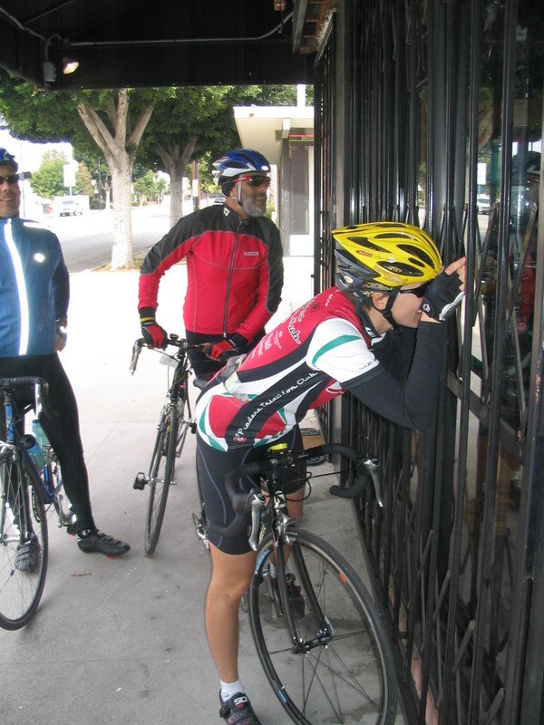
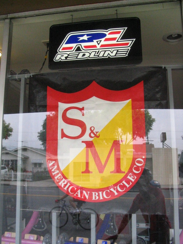
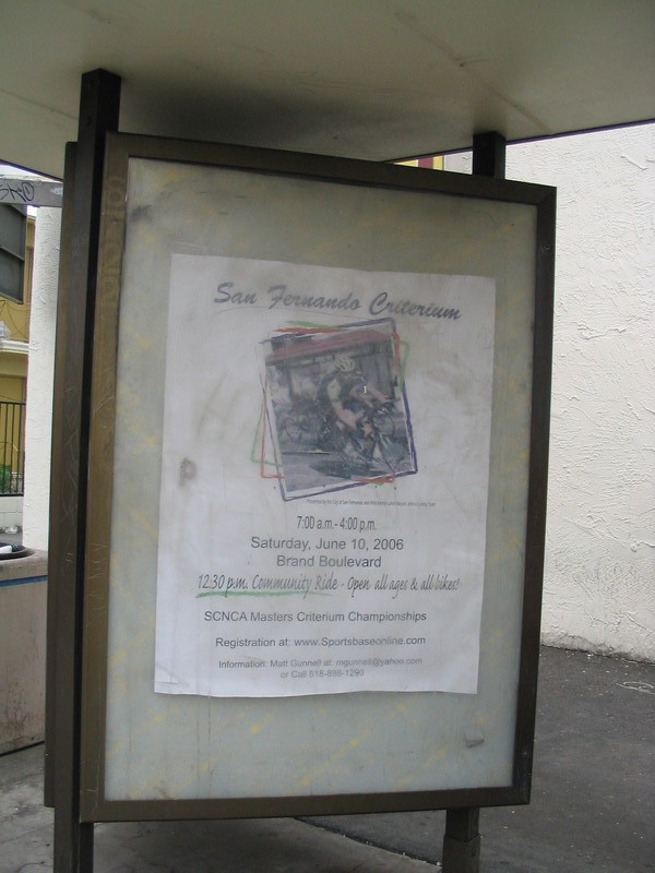
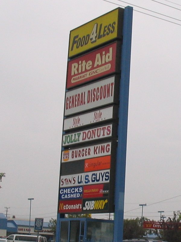
Next, we got on San Fernando Mission Road and rode back into San Fernando, passing by the mission. (Who’d have guessed it would be there?) Then we went back through downtown San Fernando, pausing briefly at the bike shop for a picture of the “S&M Bicycles” sign in the window. Then we took a right on Glenoaks and headed for home. There was a billboard on a bus shelter there for the San Fernando Criterium, which is coming up in two weeks. Mabye we will have to ride up there again to see it. Continuing south on Glenoaks, I saw the sign for “Stan’s U.S. Guys”. I always take pictures of signs that have my name on them.
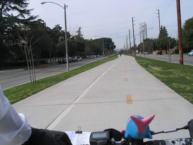
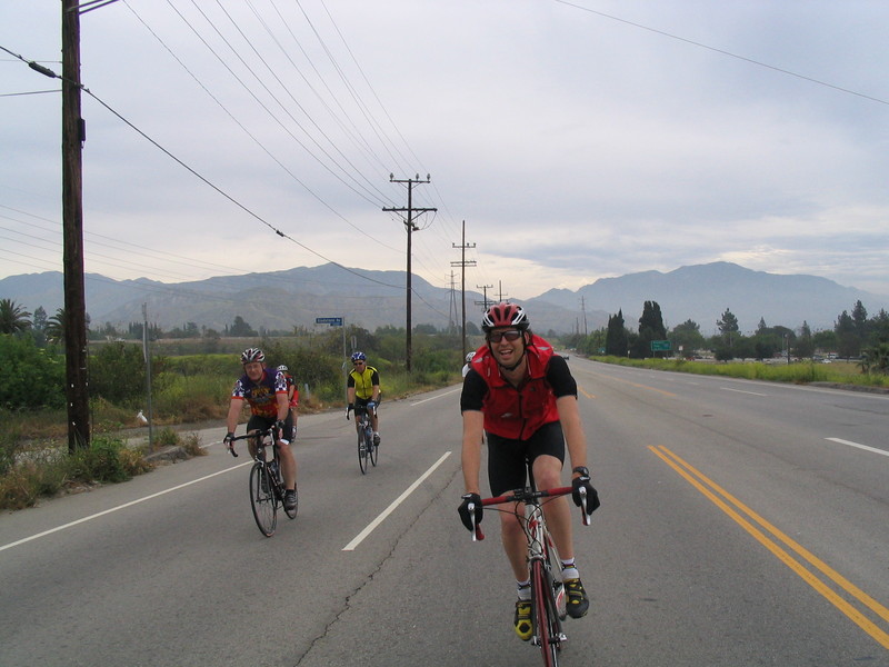
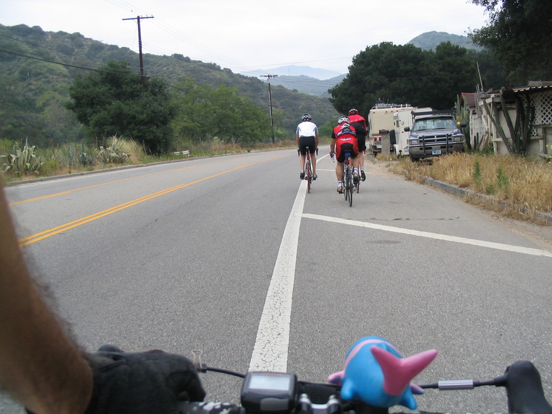
We rode through the auto-wrecking ghetto in Sunland, and passed the stinky landfill. Then we turned left on Tuxford, which brought us to La Tuna Canyon Road. Then it was time for that nice four-mile climb up the canyon. As usual, Matt was the first to the top. Jon brought up the rear, saying something about how he needed to do more riding. I was just a bit ahead of Jon. It’s a nice climb, but no matter how you slice it, it’s still uphill.
From the top, we rode down into Montrose and then up Hospital Hill. Then it was downhill the rest of the way home. We rode for a bit with a couple of triathlon people who were preparing for their first Ironman next weekend. I told them about our regular Sunday ride, so maybe they will join us in a few weeks after they’ve recovered.
It was a nice ride.
55 miles.