An earthquake tour by bike
 |
 |
 |
 |
 |
 |
 |
 |
 |
 |
Since this coming week is the 100th anniversary of the 1906 San Francisco Earthquake, I decided it was time to do a bike ride with an earthquake theme. The route was to visit a number of locations connected with the 1971 San Fernando Earthquake. As it turned out, none of my regular riding group could make it today, so this was a solo effort. The day was overcast and cool, with some intermittent light sprinkles, but overall it wasn’t a bad day for riding.
I started out heading across Pasadena to La Cañada and then up Foothill Blvd. I took Foothill all the way up to Sylmar. It was a pretty long ride, but it was all right. Once I got past Tujunga, it looked, felt, and smelled like I was out in the country. That’s always kind of a weird feeling when one is within the Los Angeles city limits.
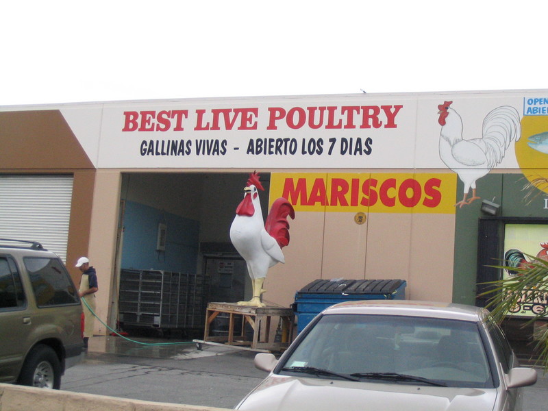
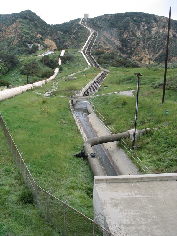
When I got up to Sylmar, it started to look more urban, but in a barrio kind of way. That was where I saw the “Live Poultry” shop. Then I got up to where all the freeways meet at the north end of the San Fernando Valley. I stopped there to take a picture of the Los Angeles Aqueduct Cascades. This is where William Mulholland gave his famous “There it is – take it” speech back in 1913.
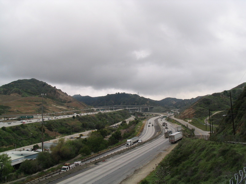
Then I rode up a little hill to get into the little valley where the big I-5/CA-14 freeway interchange is. The ramps here fell down in both 1971 and 1994, and the photo of the fallen overpass is one of the iconic images from the 1994 Northridge Earthquake.
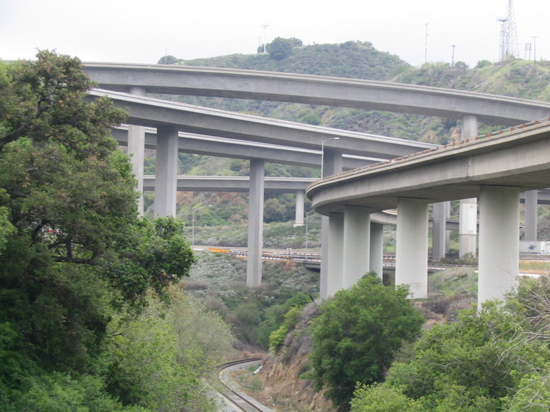
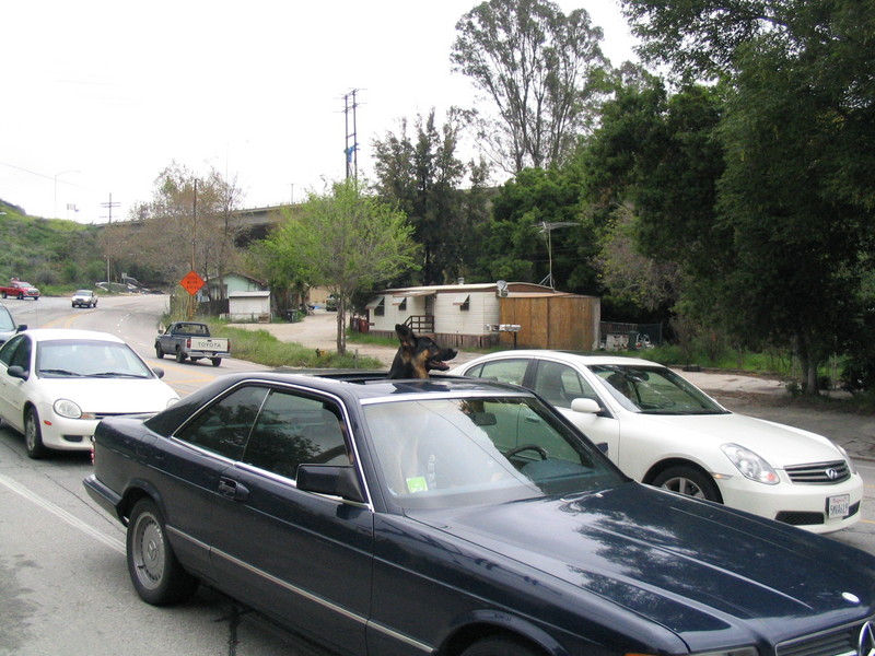
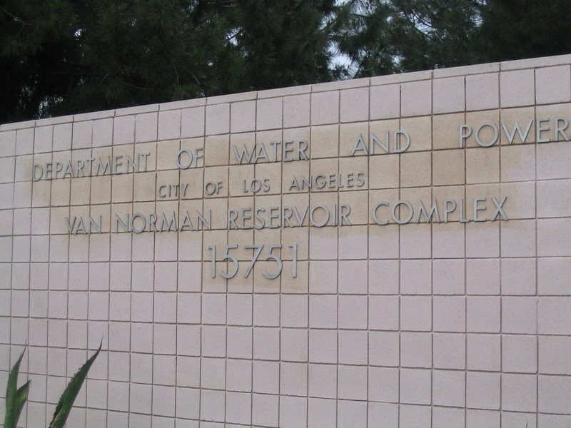
I got a nice view of the overpasses from down below. Then I got on San Fernando Road and started back south. That was where I saw the car with the big German Shepherd sticking out of the sun roof. Then I turned right on Balboa and headed down into the Valley. I took a left of Woodley so I could come down next to the Los Angeles Reservoir. The dam here was damaged in the 1971 quake, and a large portion of the San Fernando Valley had to be evacuated for a time because of the danger that the dam would collapse. Sadly, it was not possible to actually see the dam from the road. The USGS has a fact sheet that tells the story of the dam.
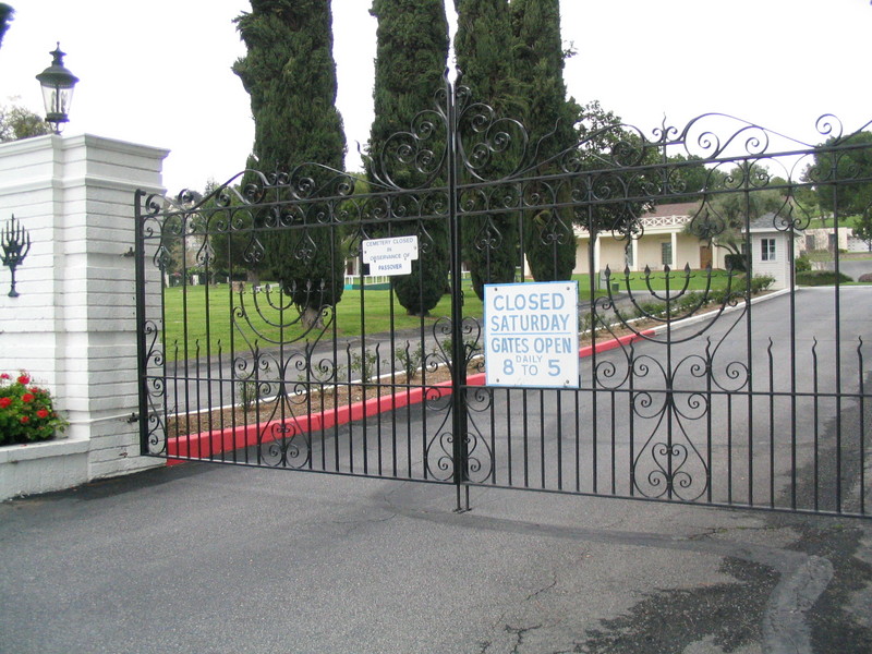
At Rinaldi St I took a left. I went a short distance and then stopped at Eden Memorial Park. I’d planned on visiting Groucho Marx’s grave there, but when I saw the Star of David on the fence I knew that they would be closed on Saturday.
Continuing on, I took Maclay St back up into San Fernando. I took a right on Glenoaks Blvd., which is a big and busy street, but it has a bike lane, so it’s not all bad. I took that all the way back down to Sun Valley, passing the big landfill and recycling center (stinkeroo!) and KAOS Auto Parts. Then I turned left on Tuxford to get to La Tuna Canyon Road.
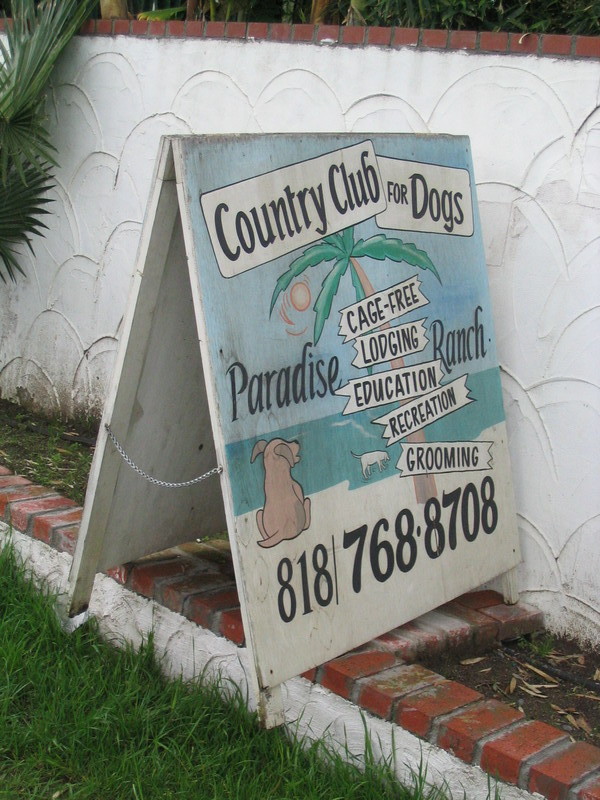
The four miles uphill in La Tuna Canyon is always fun. On the way up, I passed the Dog Resort, and also another mailbox painted with hot-rod flames. Then when I got to the top, the sun came out. I got out my sunglasses and continued down the other side into La Crescenta.
A quick trip up Hospital Hill, and then it was downhill all the way home. It was a nice ride.
61miles.


April 17th, 2006 at 5:43 am
Bryan left me a comment that there was 4.2 earthquake epicenter near Hearst Castle (about 10 days or so ago) – was it damaged at all? Or anything in that area?
April 18th, 2006 at 11:28 am
I’ve been fortunate enough to ride the ’71 Sylmar, the ’87 Whittier, the ’89 San Francisco, and the ’94 Northridge quakes. I’m just lucky, I guess!
But I’d be luckier still if I had a badass mailbox like that!!
Sounds like a good ride!