Tour de “Get Smart”
 |
 |
 |
 |
 |
 |
 |
 |
 |
 |
Today’s ride was another ‘theme’ ride. We were going to try and visit a couple of sites associated with “Get Smart”.
We started off heading down Sierra Madre, all the way to Huntington Drive. Then we took Huntington towards Downtown. In El Sereno, we turned off onto North Mission and then onto Main St, passing by S&M Liquor on our way into Downtown.
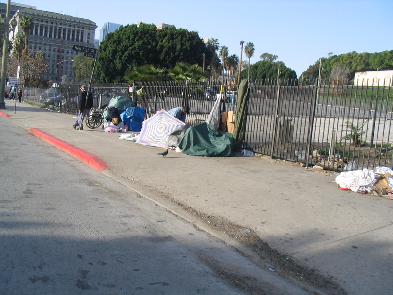
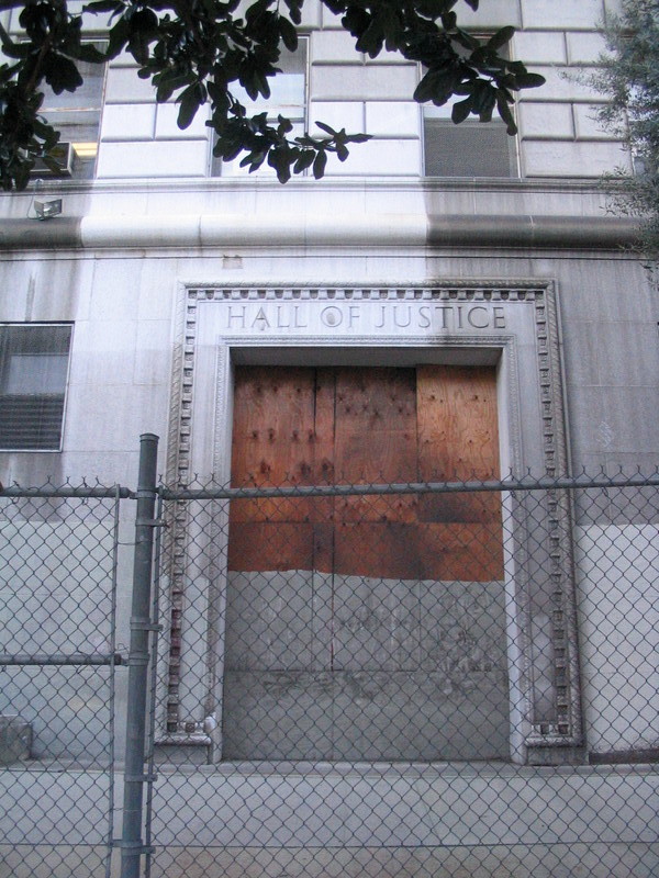
When we got to Downtown L.A., we went through Chinatown to get to New High St. Then we passed a homeless camp before reaching the Hall of Justice on Temple St. This was the building used as the exterior for CONTROL headquarters in the title sequence for the third and fourth seasons. The building itself was damaged by the 1994 Northridge Earthquake, and it’s red-tagged and slated for demolition.
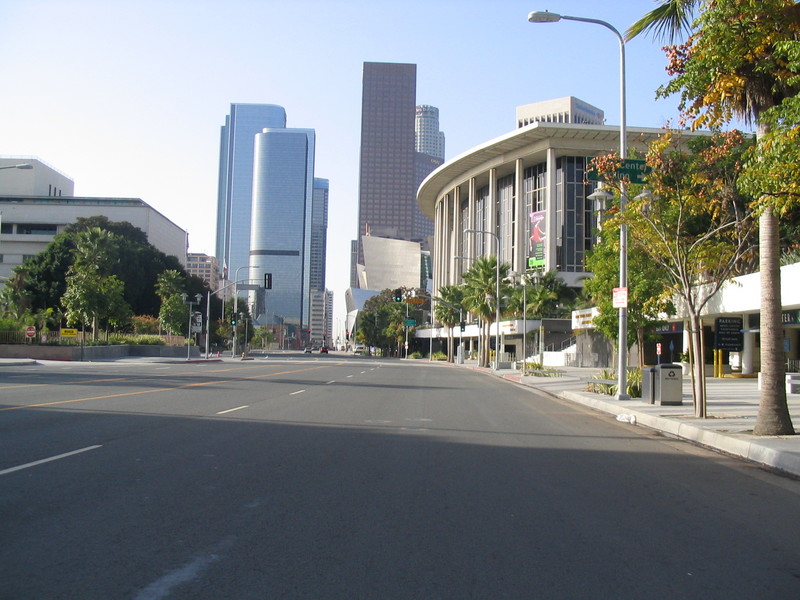
From there we went up Temple to Grand and then turned south. We passed the new Disney Hall and then passed between the towers on Bunker Hill. There was some filming going on there, but it wasn’t clear what they were doing.
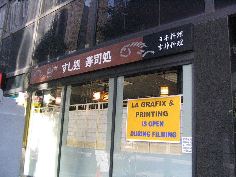
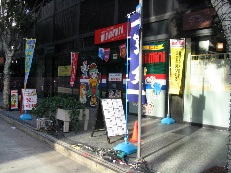
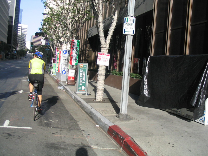
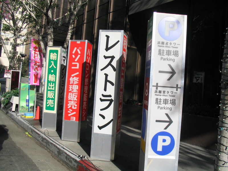
When we got to Wilshire, we took a right and were immediately transported to Tokyo. The last three blocks or so of Wilshire are currently dressed up as Tokyo for filming “The Fast and the Furious: Tokyo Drift”, AKA “The Fast and the Furious 3”. It’s always fun to see our city dressed up to play a new part.
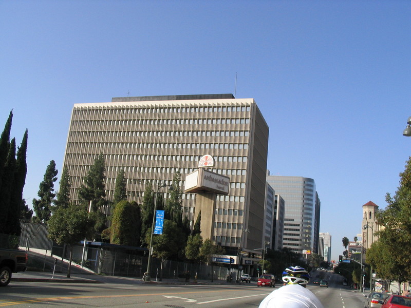
Going west on Wilshire, we went through MacArthur Park and Koreatown. Then we passed the old Ambassador Hotel, which is perhaps best remembered as the place where Bobby Kennedy was killed.
We took a right on Alexandria and went north to Second St. Then we turned left and took Second out to Larchmont Blvd.
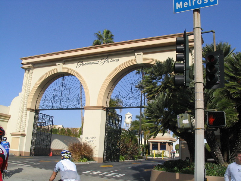
We stopped for a bagel at Noah’s in Larchmont Village. Then we continued on north a bit, going east on Clinton so that we would come out on Melrose by the front gates of Paramount Studios, since that was where most of “Get Smart” was filmed.
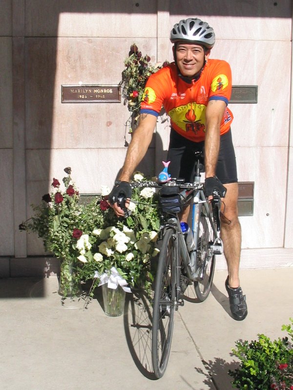
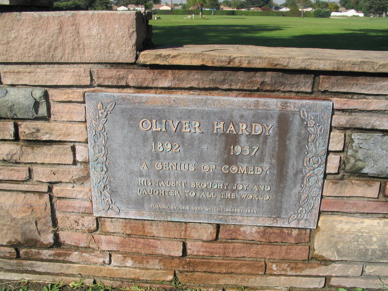
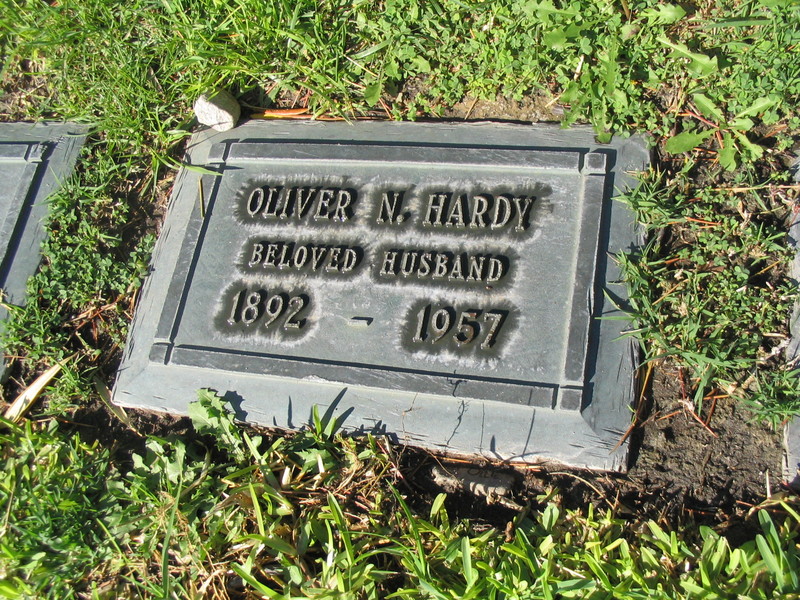
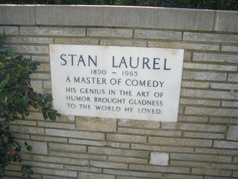
Continuing west on Melrose, we turned right on Gower and went up to Santa Monica. Then we went into Hollywood Forever Cemetery to look for Don Adams’ grave. Sadly, the directions we had were not clear, and we were not able to find it. I asked at the front gate and at the flower shop, where they sell a map to the stars’ graves. But their map had not been updated yet, so they didn’t know. So we left. I guess we’ll have to come back again some time.
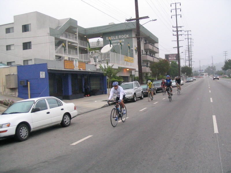
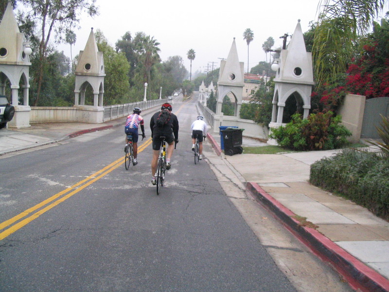
Going north, we went up Bronson to Franklin and then went east to the Shakespeare Bridge. Then we took St. George and Rowena to get to Fletcher, which we took through Atwater Village up to Eagle Rock Blvd.
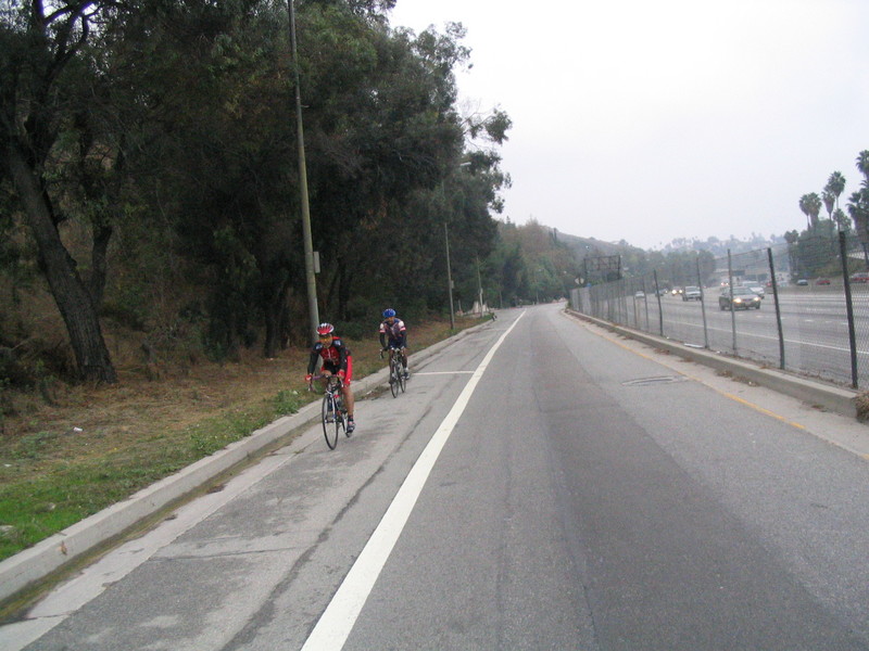
We rode up Eagle Rock all the way to Yosemite. Then we took that over to Figueroa, and then took a right on La Loma. A few hills later and we were on San Rafael and then Linda Vista to go past the Rose Bowl. By this time, everyone else had turned off to go home, so I just continued on to just below JPL. Then I took Woodbury back across Pasadena, and some little streets to get home.
44 miles.