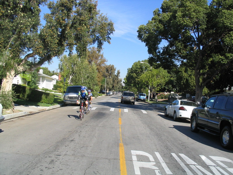
Bike Riding on Dicks Street
 |
 |
 |
 |
 |
 |
 |
 |
 |
 |
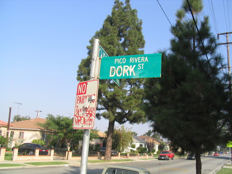
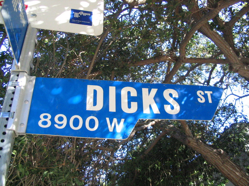
A couple of weeks ago, I read an item in the paper about Dicks Street in West Hollywood, and how the neighbors are lobbying to have the name changed. It turns out that Dicks St. is just off the stretch of Santa Monica Blvd which is commonly known as “Boys’ Town”, due to the large number of gay bars there. And of course, just like when I heard about Dork St., I started planning a ride to go and see it. I figured it would be a nice 50-mumble mile ride from Pasadena.
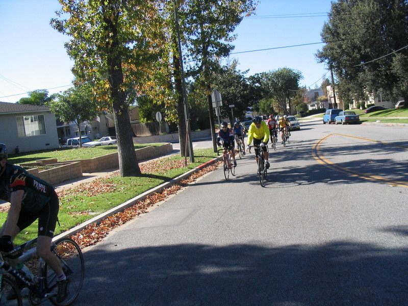
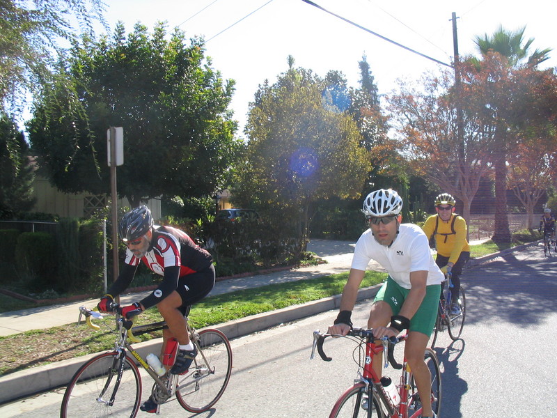
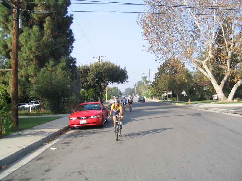
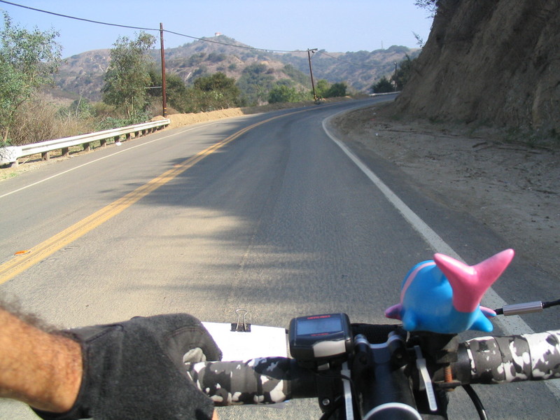
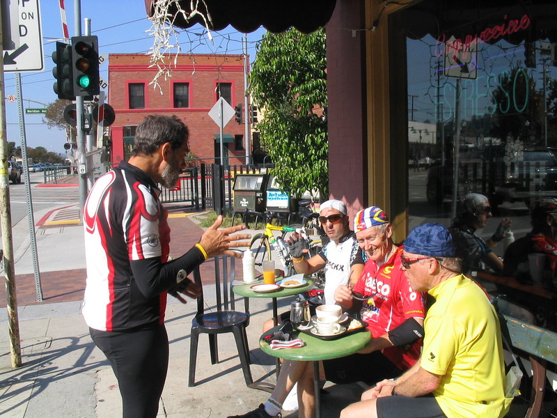
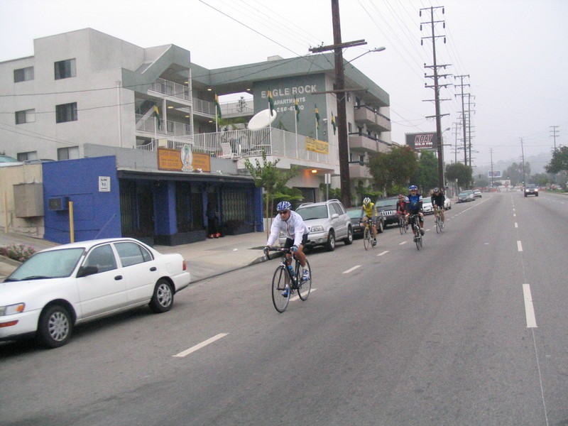
I met Matt at Victory Park at 7:30 and we set out on our pilgrimage. We went west on Orange Grove, intending to go across the Colorado Street Bridge. But when we got there, the bridge was closed off and a sheriff’s deputy indicated that we should take the other fork, which was the freeway entrance. We decided that we didn’t really want to try riding on the 134 freeway, so we took Grand Ave down into the Arroyo. A right turn on La Loma and a couple of hills later, we were in Eagle Rock.
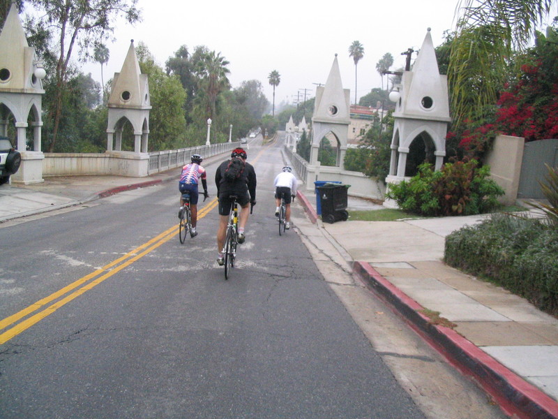
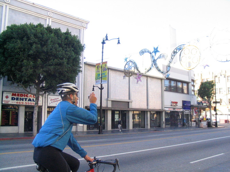
After a turn on Fletcher, we crossed the L.A. River and headed into Silver Lake. A few turns and one small hill later, we were on Hollywood Boulevard. At this point, Matt pulled out his camera and played tourist a bit.
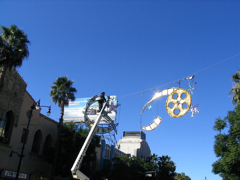
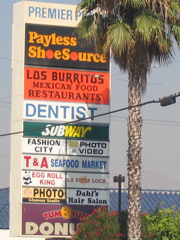
We rode down Hollywood Blvd all the way to the Chinese Theater. Then we headed south a bit to get on Fountain Ave. We took this all the way to its end at La Cienega.
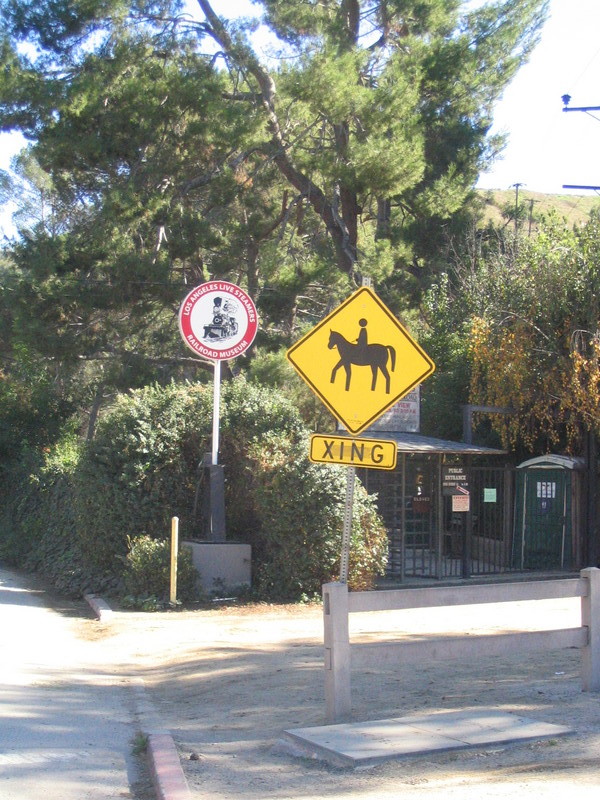
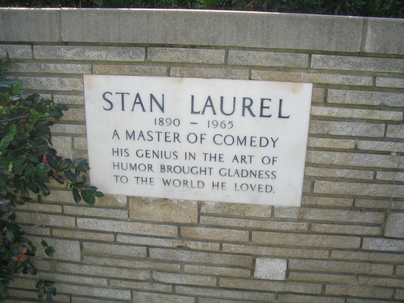
A few quick turns later, we were at Dicks Street. I took a picture of the sign for my collection. Then we headed up the hill on Doheny up to the Sunset Strip.
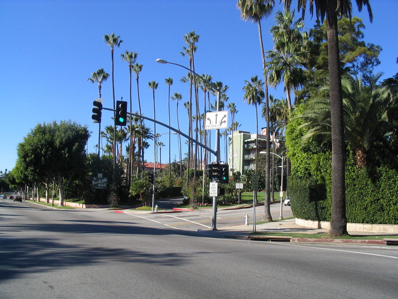
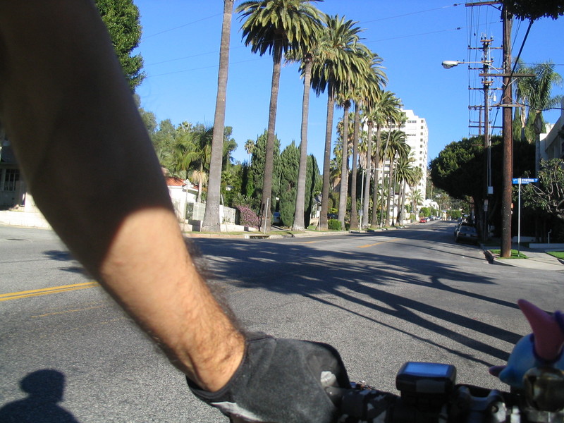
Riding on the Sunset Strip is always a strange experience. We rode just a few blocks east to get to Sunset Plaza, then we turned left and headed up the hill.
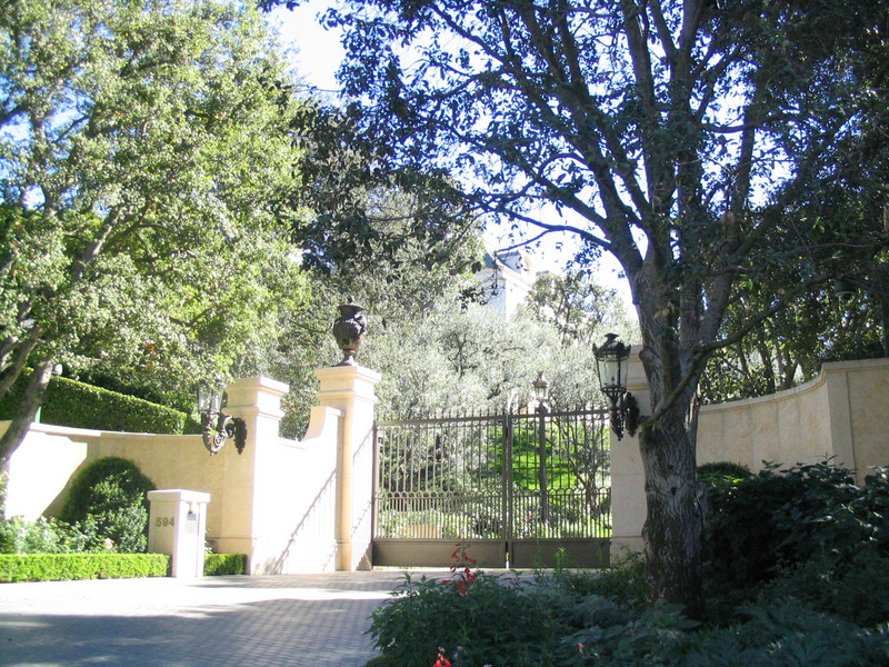
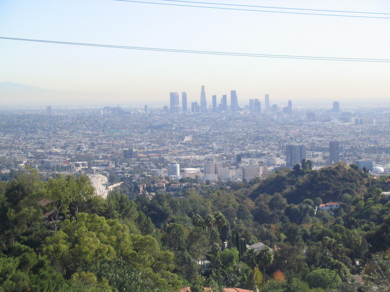
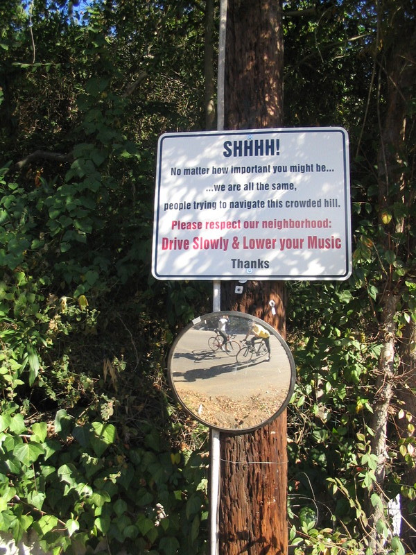
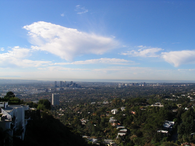
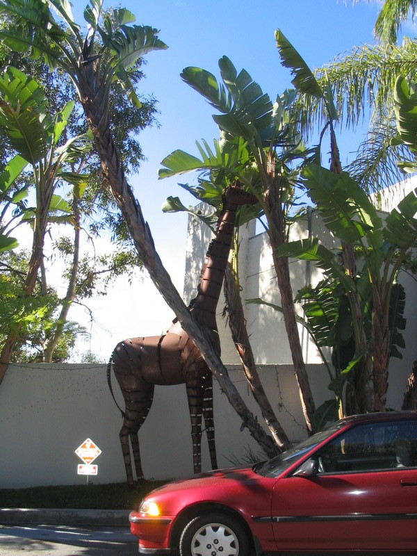
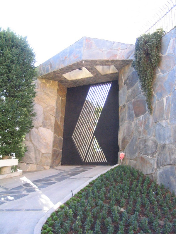
On the way up the hill, we stopped to look at a sign that pleaded for quiet on the streets. We also stopped at the top to admire the view of Century City and West L.A., as well as to look at the steel giraffes and ostrich in front of one house. Also, we saw a house that had what has to be the single most imposing-looking front gate I’ve ever seen on a private residence.
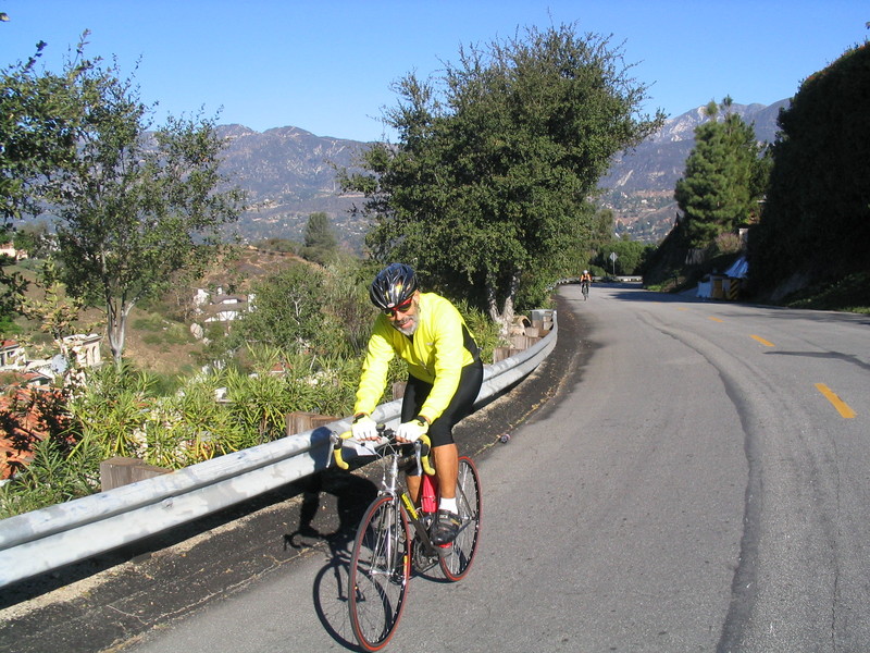
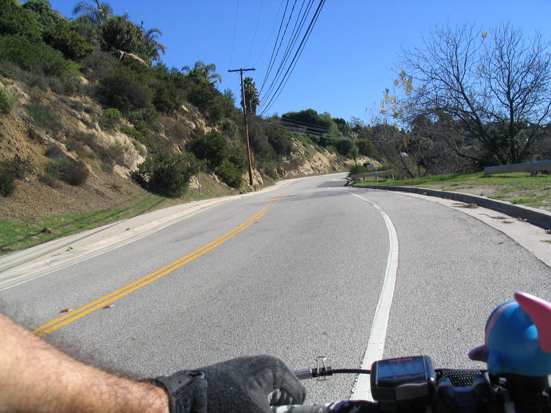
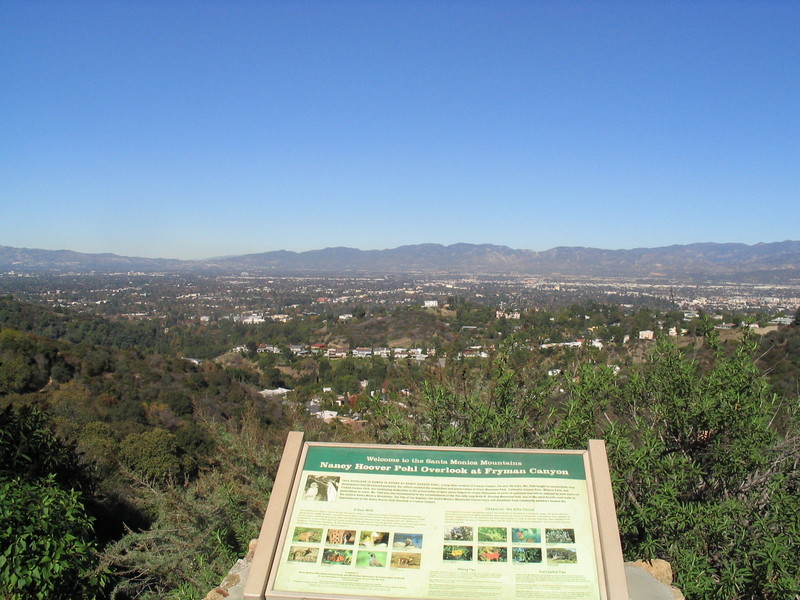
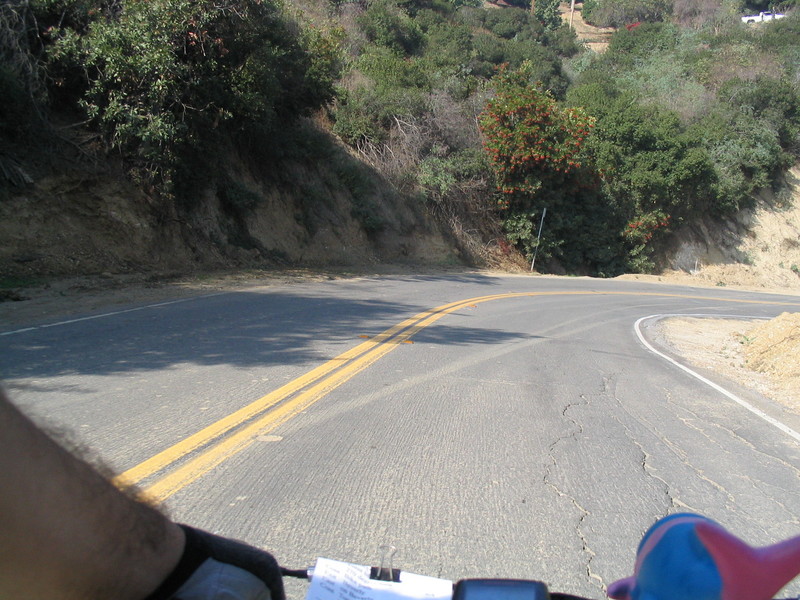
Continuing down the other side, we went down towards Laurel Canyon. Then we turned left and headed up Laurel Pass Rd and Allenwood, coming out on Mulholland Drive at Fryman Canyon Park.
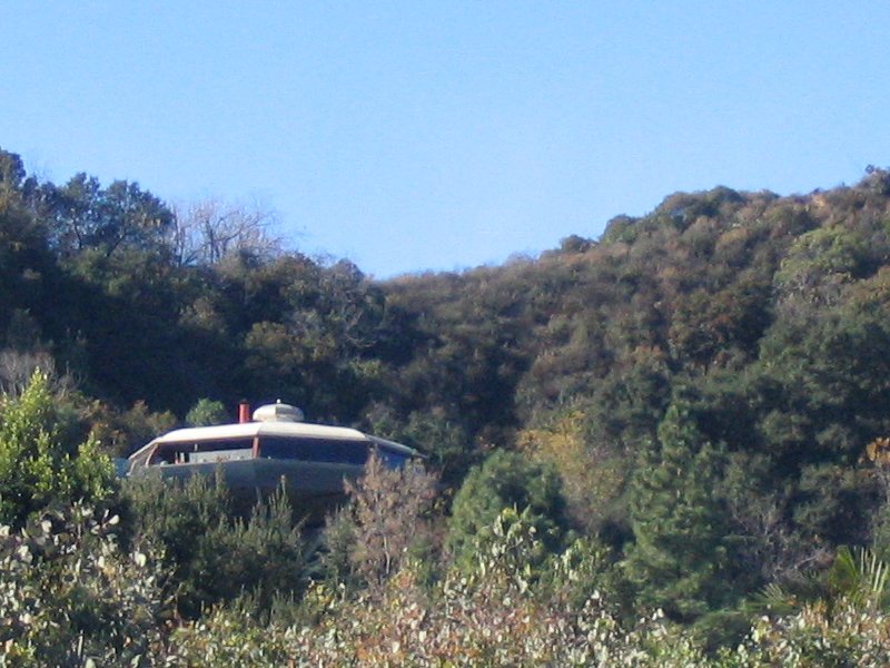
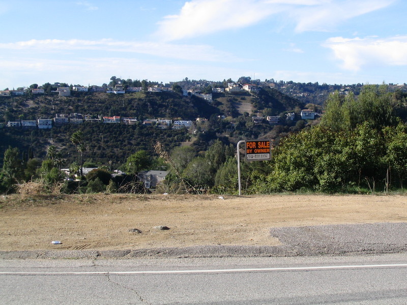
After a brief stop to refill our water bottles, we headed east on Mulholland. We stopped again for some more sightseeing at the Universal City overlook. I snapped a picture of the flying saucer house up on the hill above us. A little bit farther down the road, we saw a sign offering us the void, For Sale By Owner.
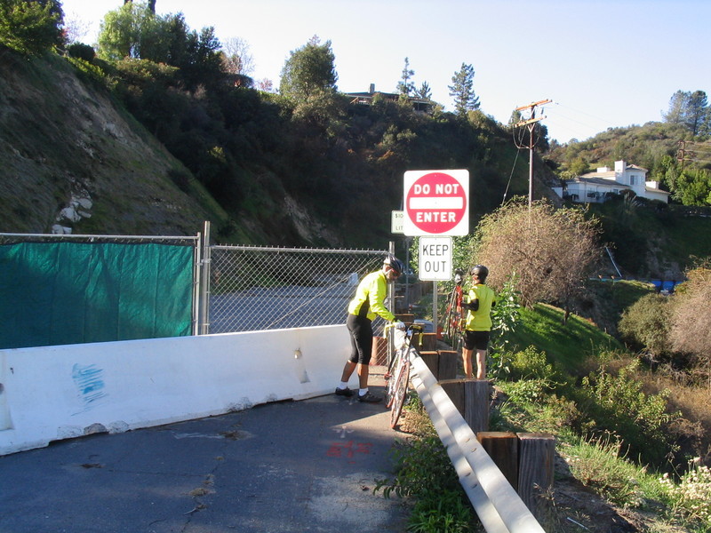
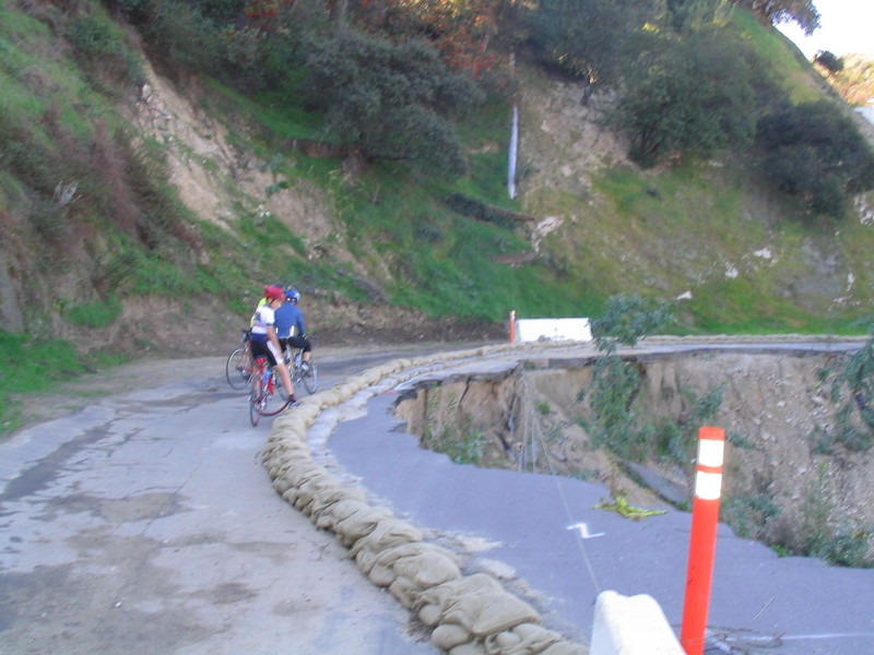
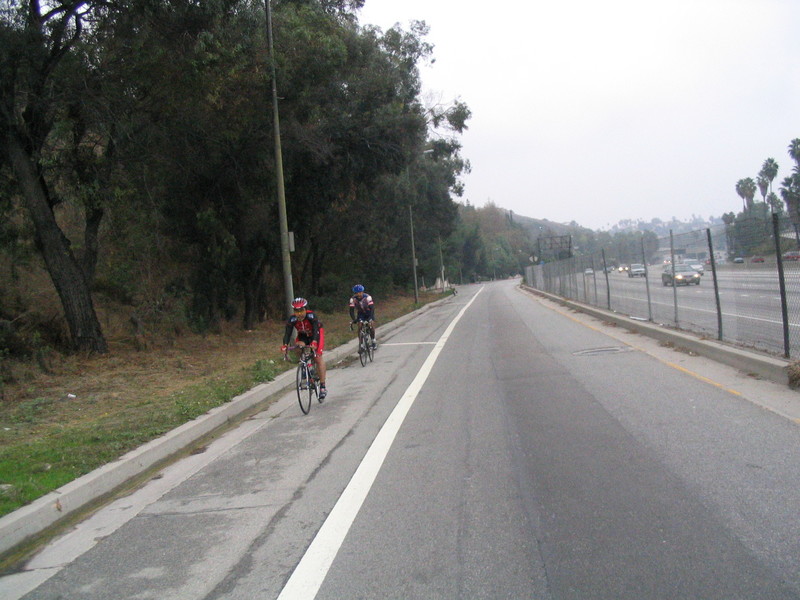
At the bottom of the hill in Cahuenga Pass, we crossed the freeway and headed up Wonder View toward Lake Hollywood. Coming down off the hill, we got on Barham Blvd and cruised down into Burbank. A quick right took us past Forest Lawn and into Griffith Park.
After the park, we went into Glendale, going up Sonora and Graynold to get to Kenneth and Mountain. We took Mountain over to Verdugo and headed up to Hospital Hill. From there, it was all downhill back to Pasadena and home.
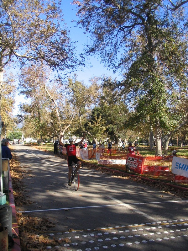
56 miles