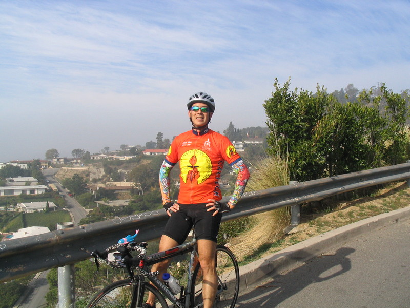
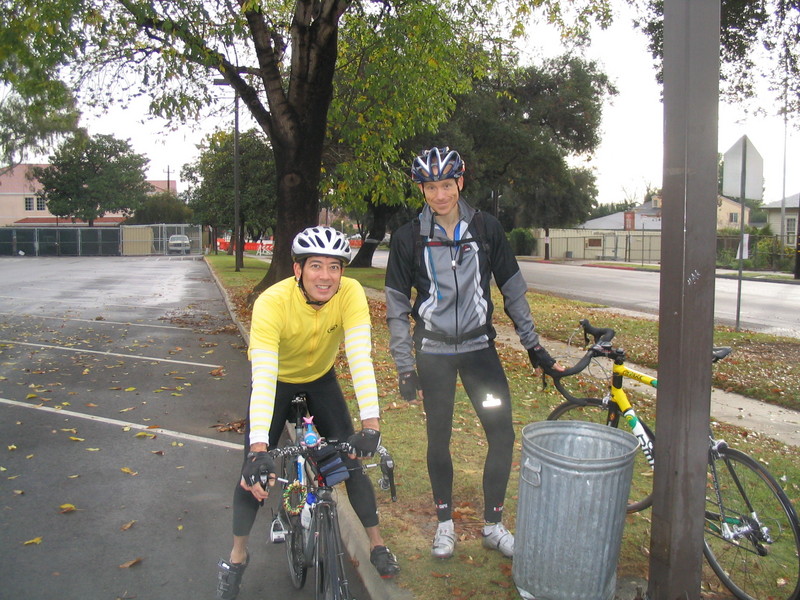
I still got to go riding a little today
 |
 |
 |
 |
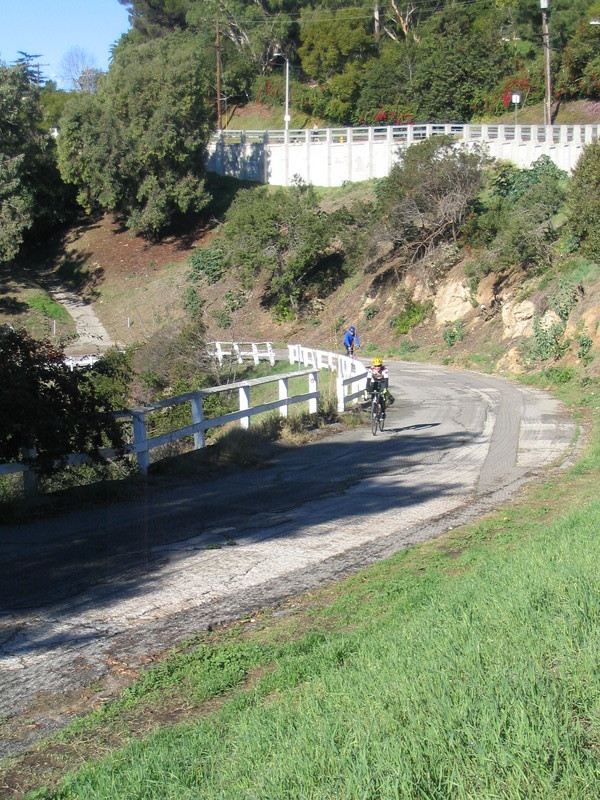
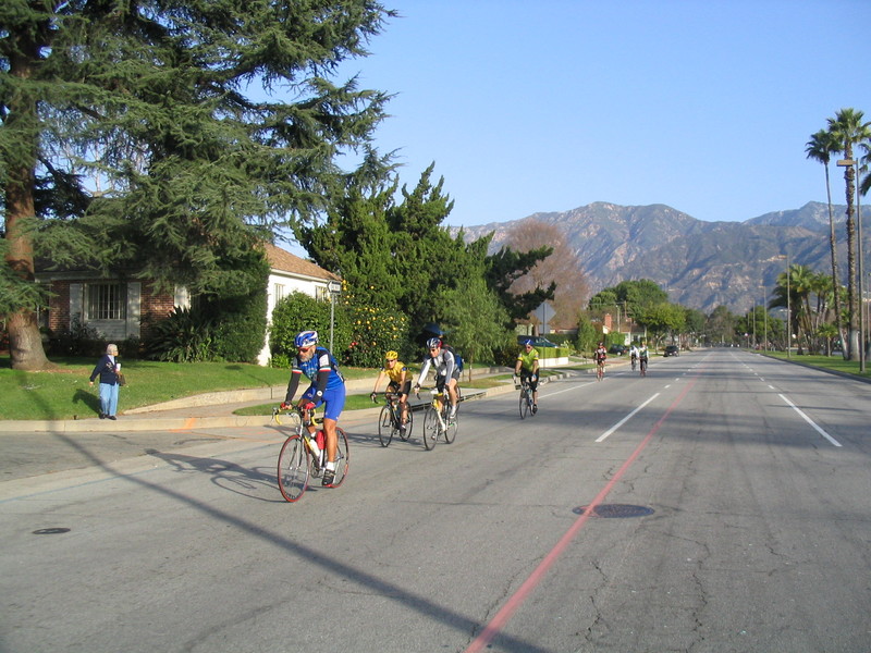
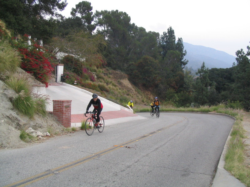
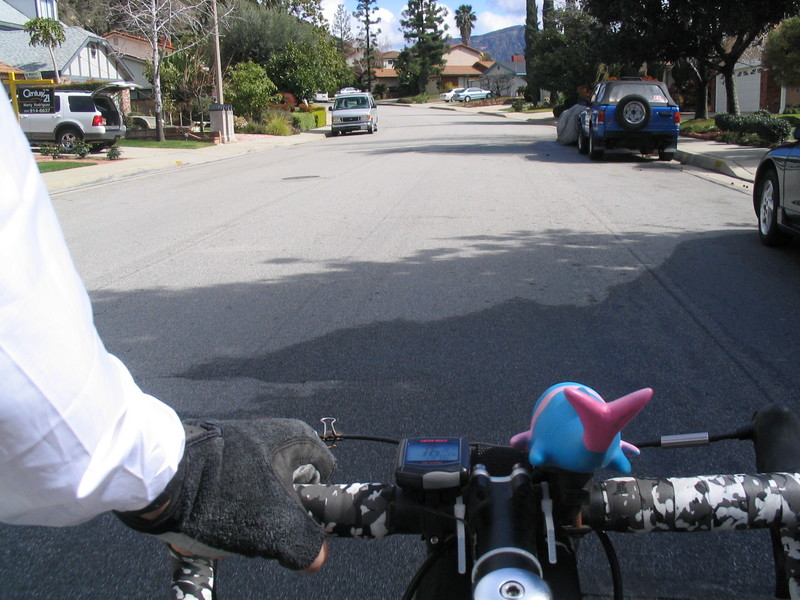
Today started out cold and rainy, and it rained out the regular Sunday club ride. But then, almost miraculously, it stopped raining and cleared up. But 10:00, the sky was blue and the streets were (almost) dry. So I went for a little ride by myself.
I headed east through Sierra Madre to Arcadia, then east some more into Monrovia. When I got there, I went up Norumbega Drive, which goes up a nice hill and makes a loop back down to where it started. It was a nice gratuitous hill.
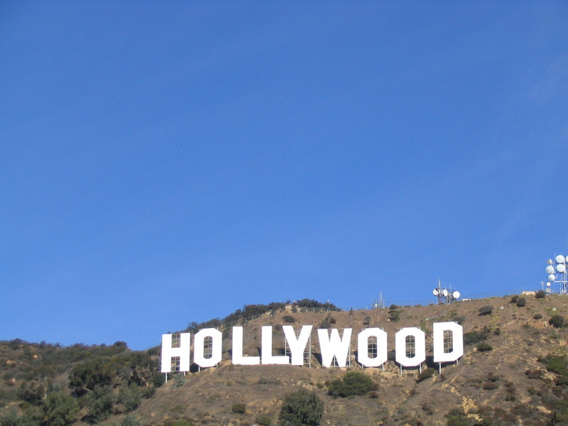
Then I went down Mountain Ave, and it was there that I spotted a thong in the street. When I used to live in Hollywood, I rode every weekend on Mulholland Drive, up in the hills. And every Sunday morning, I would see lots of women’s clothing, particularly shoes and underwear on the side of the road. That was just a normal thing in the hills above Hollywood, but this is the first time I’ve seen anything like that here in the suburbs.
I rode through a little bit of Bradbury and then into Duarte. I took the bike path along Royal Oaks to its end, and then went up Melcanyon just to add another gratuitous hill. I made a loop up there and came out on Encanto by the park there, and then headed back towards home.
I took Santa Clara St back into Arcadia just so I could stop for a photo at the Young Dong Restaurant. Its name probably means something like “Mom’s” in Korean, but the sign looks funny to American eyes. And it’s right around the corner from the Turf Analist, so there is an ongoing tradition of Engrish in that area.
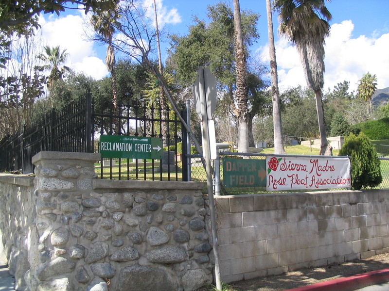
Next, I headed back up 1st St to get to Highland Oaks and Sierra Madre for the trip home. I stopped for one more photo of the “Reclamation Center” sign, right by the cemetery. I guess it makes sense in some way.
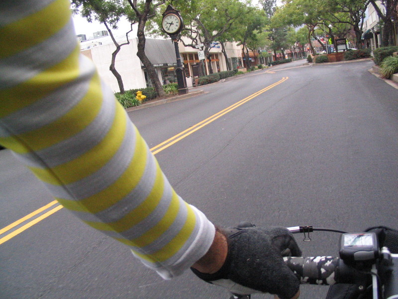
From there, it was downhill all the way home. It was a pleasant ride, even if it was chilly and kind of windy.
27 miles.