Noodling around the San Gabriel Valley
 |
 |
 |
 |
 |
 |
 |
 |
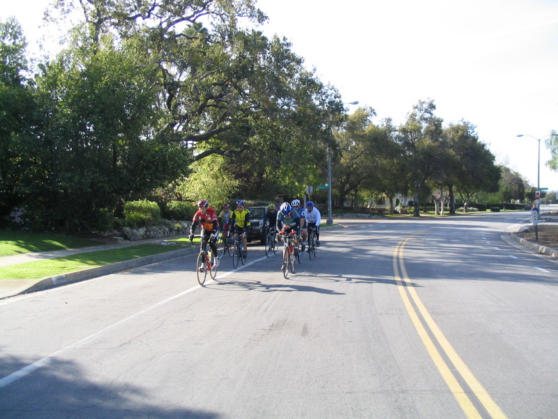
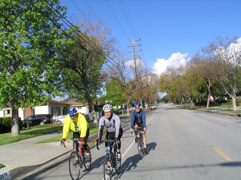
Today’s installment of the Foothill Cycle Sunday Moderate Ride was roundabout tour of Pasadena and close-by cities.
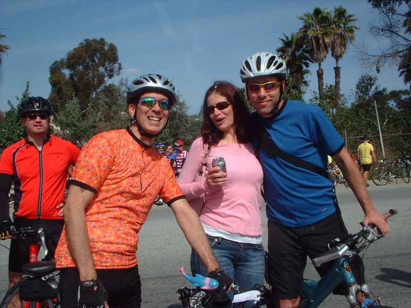
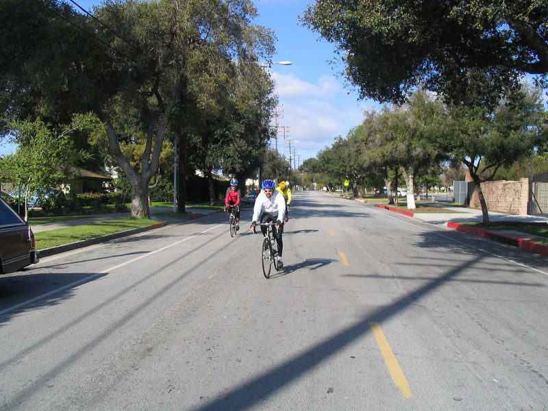
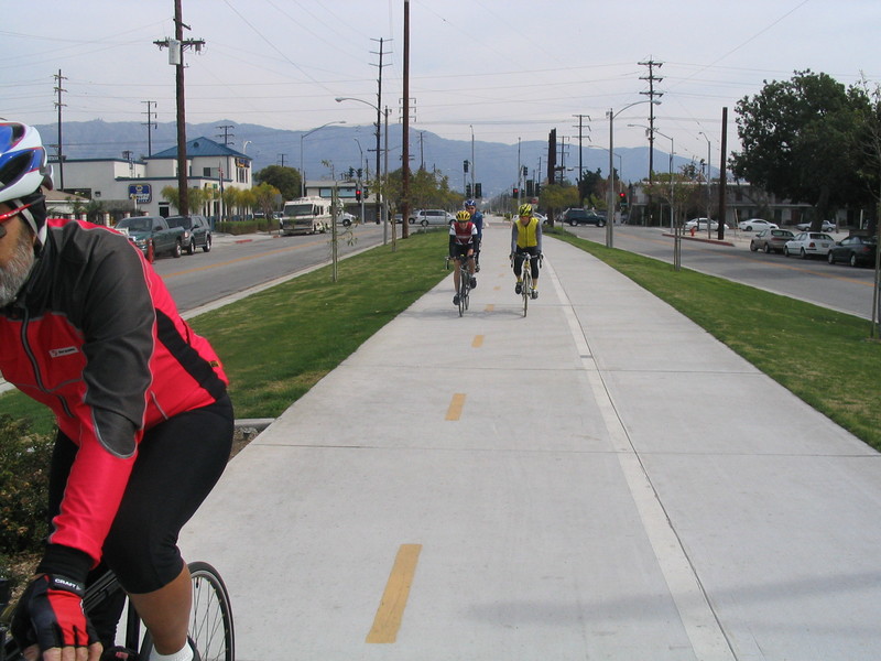
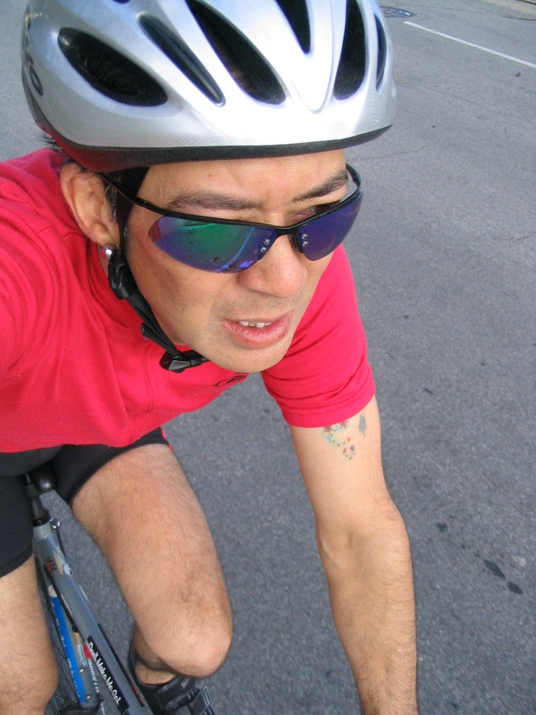
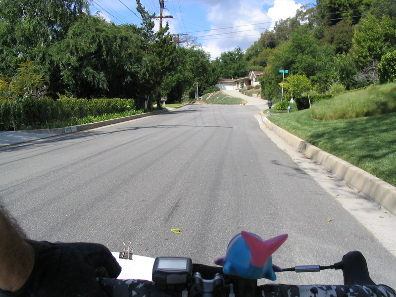
We started out from Victory Park with some nice sunshine. Right at the start I tried a quick bit of Myspace-style self-portraiture. That’s taking a picture with the camera held at arm’s-length. I take pictures on almost all the rides, but it’s rare that I actually get in any of them. So this was my attempt to make up for this. But to really get a good bike-riding picture, I need a longer arm.
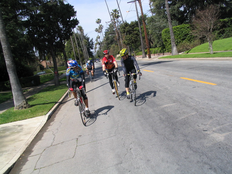
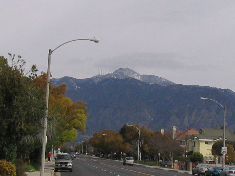
We headed east to Sierra Madre Villa, and then south to Huntington Drive. From there we went west a bit and then south into Temple City. We took Broadway west back into San Gabriel, and then Mission north to San Marino.
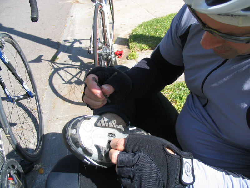
A left on Monterey Road took us across San Marino, and then we got on El Molino and rode all the way north into Pasadena and Mountain Ave. Then we took a left to go to Lincoln and then a right onto Forest. It was there that Rick started complaining about his pedal, so we stopped to see what was wrong. It turned out that one of the screws in his cleat had fallen out, and the second was nearly out. He managed to get the one screw back in, but he had to bail and head for home at that point.
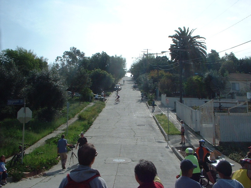
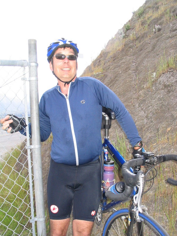
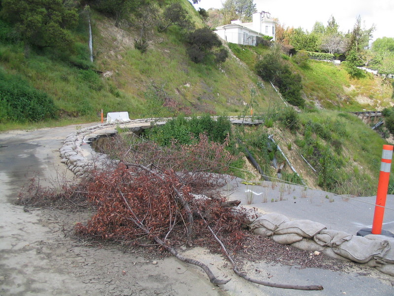
At Washington we went left and rode down past the north end of the Rose Bowl, and then up the hill on the other side to Linda Vista. We went right there and then left on Inverness to start riding up the nice hill there. We rode up for a bit to get to the place where the road was washed out. We had to squeeze in between a fencepost and a cliff to get past the barrier, and then we rode past the washout.
After that, we rode up some more on St Katherine to get to Wendover and the top of the hill. There was a nice view from up there. Then we went down San Augustine to Figueroa and Chevy Chase. A quick left on Inverness again, and we were riding along the top of the hill. Then a right on Hempstead took us back down to Chevy Chase. We went left there and rode up to Foothill Blvd in La Cañada.
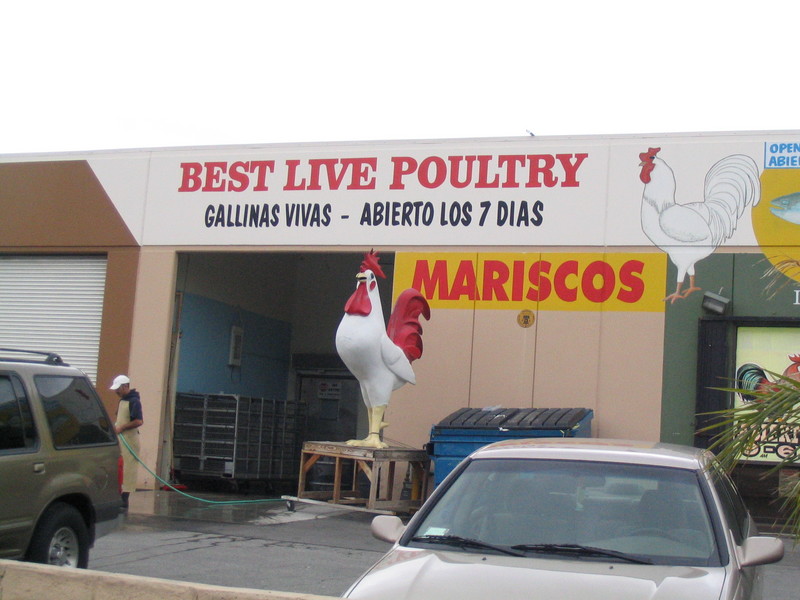
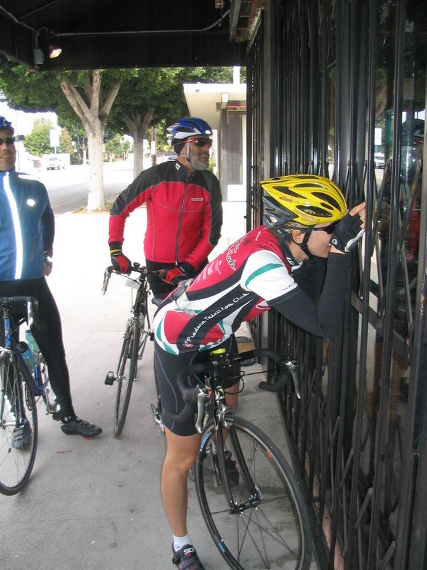
We took a right on Foothill down to Oakwood, where we stopped at a little coffee shop. It was our first time stopping there, and likely the last. The people working there got everything wrong on our orders.
After the stop, we rode up Oakwood for a bit and then took a right on Knight Way. Then another right on Crown Ave to get back down to Foothill. Then we turned left and dropped down the hill to Oak Grove by JPL. A right on Oak Grove brought us back into Pasadena and Woodbury Rd.
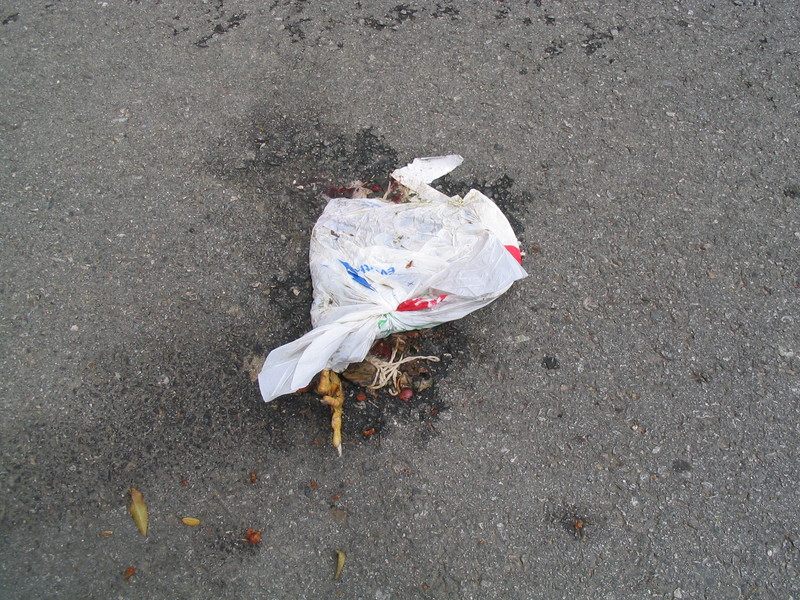
We went left on Casitas and went up the hill to Ventura, where we took a right. At Lincoln we went left again to get up the hill to Loma Alta, right at the foot of the San Gabriel Mountains. We took Loma Alta all the way up to the top of Lake Ave. Along the way I stopped for a picture of something not-quite-identifiable. It was a squashed bag with what looked like a large bird’s foot sticking out of it. Yick.
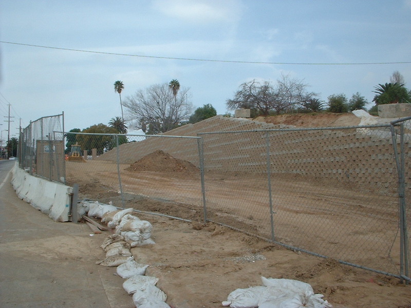
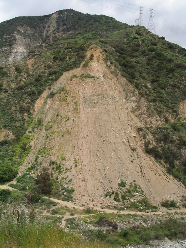
At Lake we went right, down the hill. Then a left on Mt. Curve and Maiden Ln to get to Rubio Canyon Rd. Another left took us around the mouth of Rubio Canyon and Loma Alta again. Then we went left on Pinecrest to the base of the Mt. Wilson Toll Road, which was closed by a large landslide over a year ago. The landslide was still there, and it doesn’t appear that there has been any work done on trying to clear it. You can see this in this picture taken just over a year ago. About the only thing different is that there is more vegetation growing on it now.
From there, we got on Altadena Drive and rode down the hill back to the park. At that point we had gone 35 miles, so I took Sierra Madre Blvd east to Sunnyslope to add a little bit more. I went up the hill to Grand View and then east some more to Baldwin. Then down the hill to Sierra Madre and back home.
41 miles.