A ride to Bonelli Park
 |
 |
 |
 |
 |
 |
 |
 |
 |
Today’s ride was out to Bonelli Park in San Dimas. There was a big women’s triathlon going on there, and we thought we might get to see Vikki racing in it. It was a very hot and sunny day, so I brought along my big water bottle.
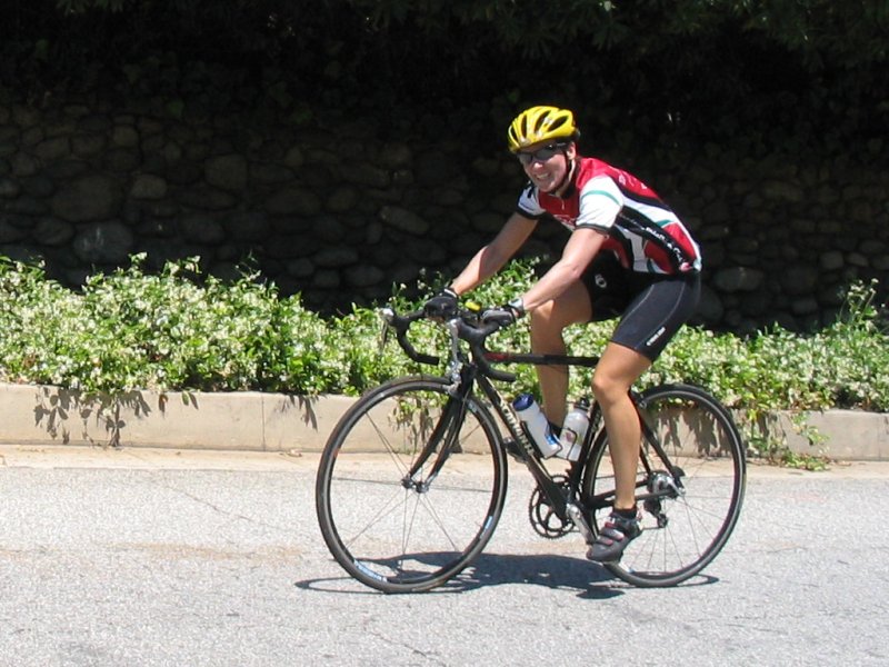
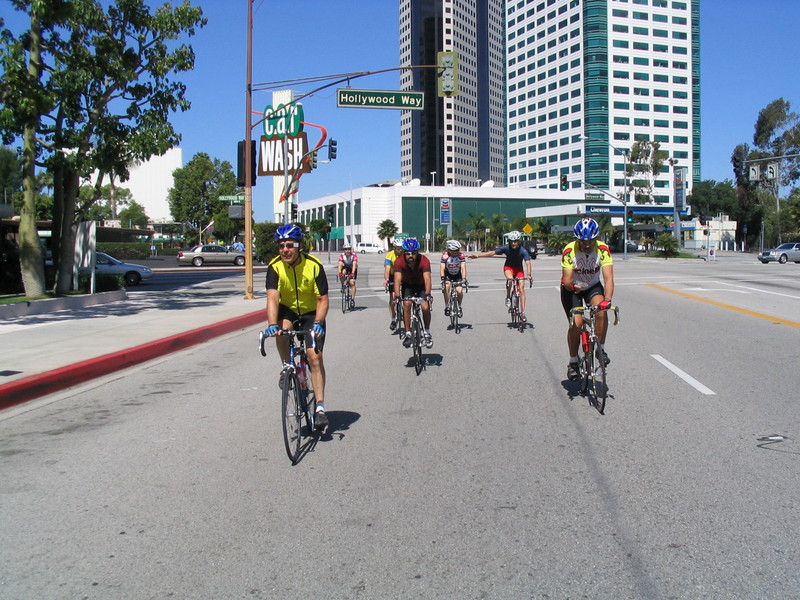
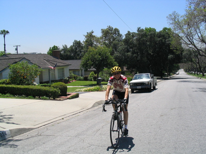
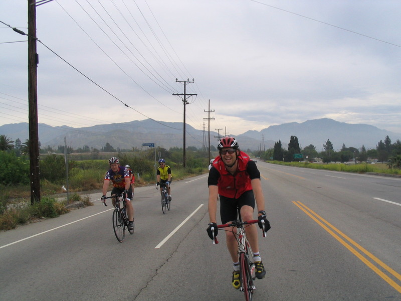
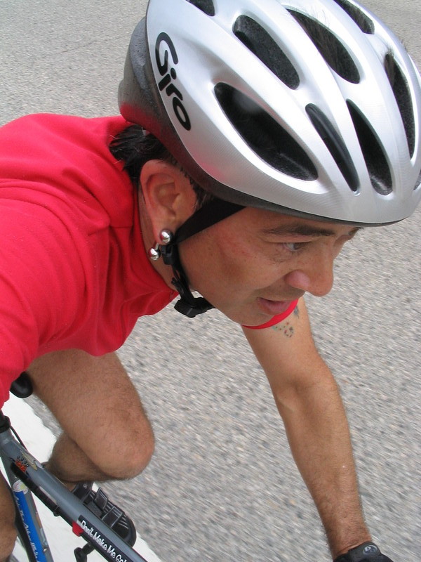
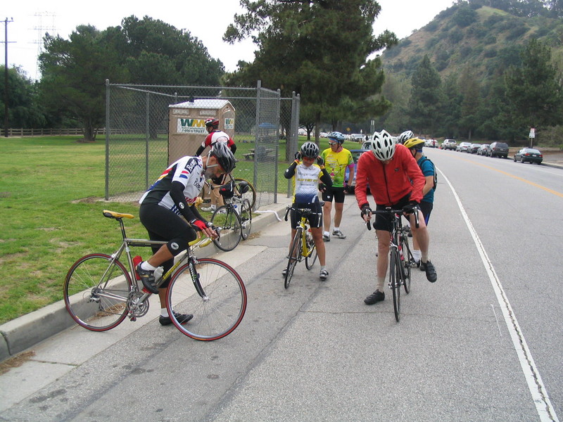
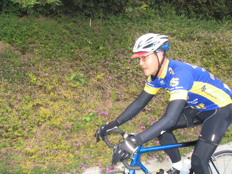
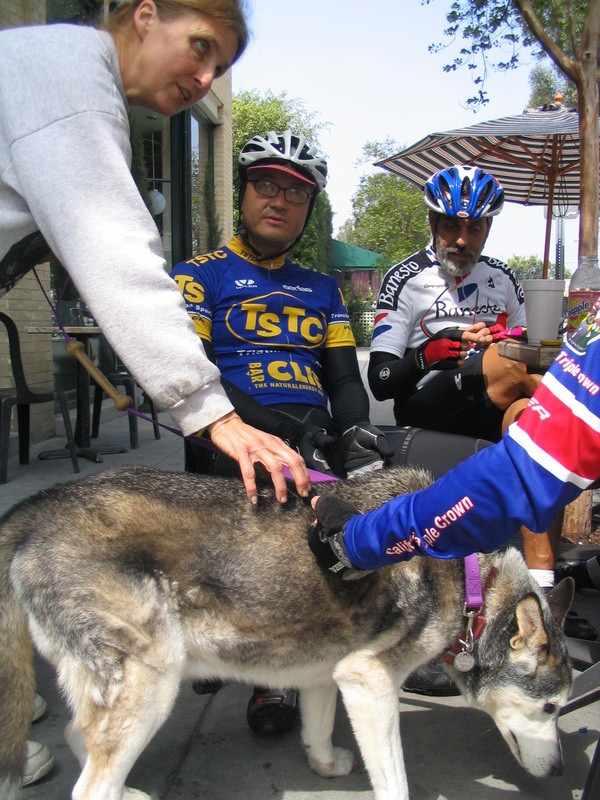
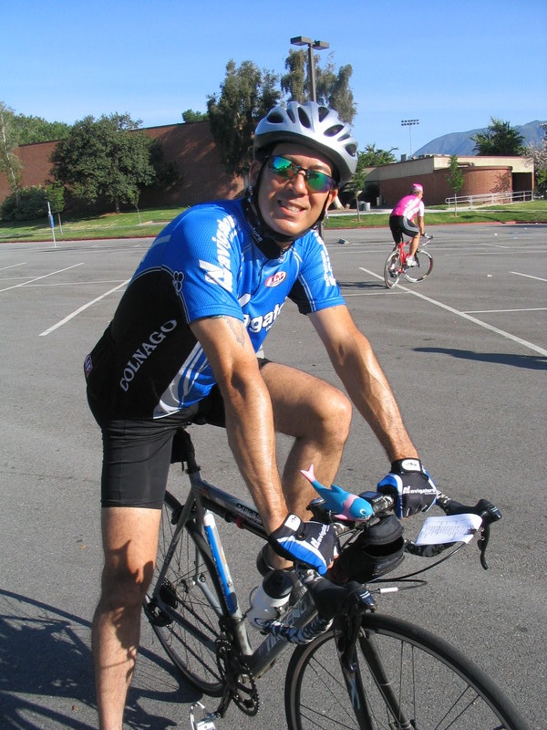
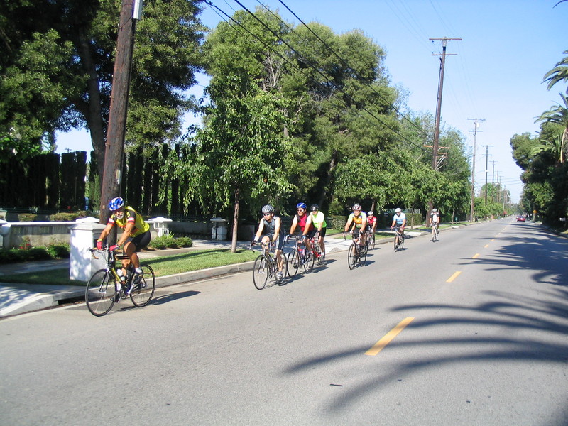
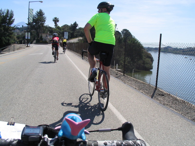
I wore my new Navigators team kit. I’m not generally one for wearing the jerseys of major professional teams, but I feel a slight connection to the Navigators. Their founder and team manager is an old friend. We were junior racers together back in 1977. He’s in this picture on the far left in the light blue jersey. And here’s a picture from when I saw him at the Tour of California. I told him I’d get one of his team jerseys just so I could tell the story on rides.
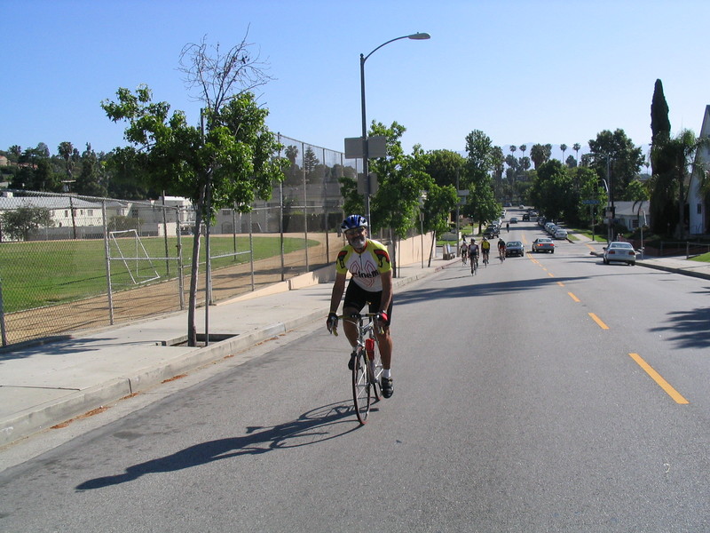
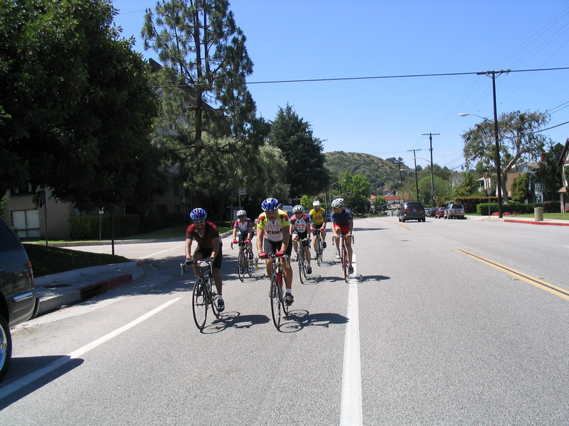
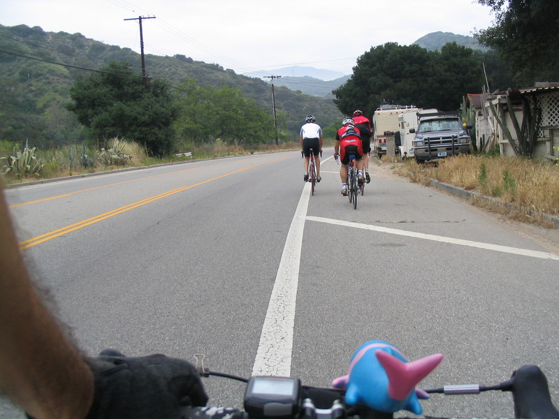
We started out going east through Arcadia. We took Sierra Madre out to Santa Anita and then went down to Longden and took that all the way out to where it put us on Arrow Highway. Then we turned right on Azusa Canyon. Well, some of us did. The others missed the turn and just kept going. I pulled out my phone and called Newton to tell him that they’d missed the turn, but I guess he didn’t hear it ringing. So I left voicemail and we just kept on going.
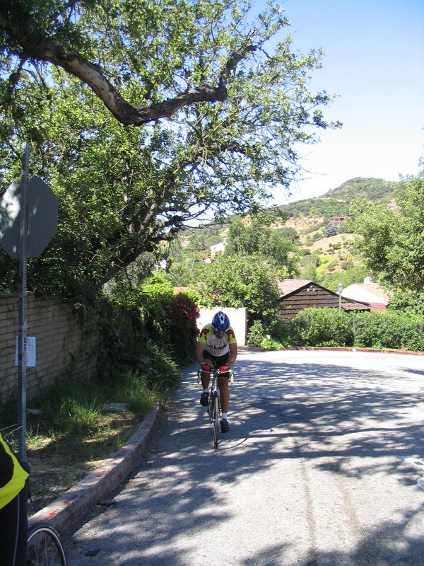
We took Cypress St east all the way to Reeder, which then turned into Puente St. We took that until we got to Via Verde, where we took a left and headed up a nice hill. Jon was the first to the top, and when I got to the top he was waiting for me. And he made me promise that I’d mention that he was the first to the top. And yes, Jon was the first to the top of the hill.
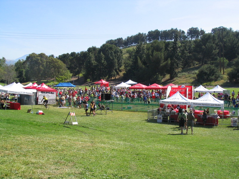
Continuing on Via Verde, we rode into Bonelli Park. This was the site of the Danskin Women’s Triathlon. They had started at 6:45 in the morning, so we figured that most of them would be done by the time we got there, but there were still a few people finishing. We looked around, but we couldn’t find Vikki and her team. I tried calling her, but I guess she wasn’t near her phone, so I left voicemail. (Are you seeing a pattern here?)
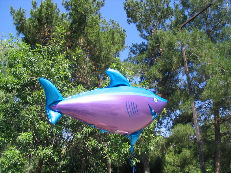
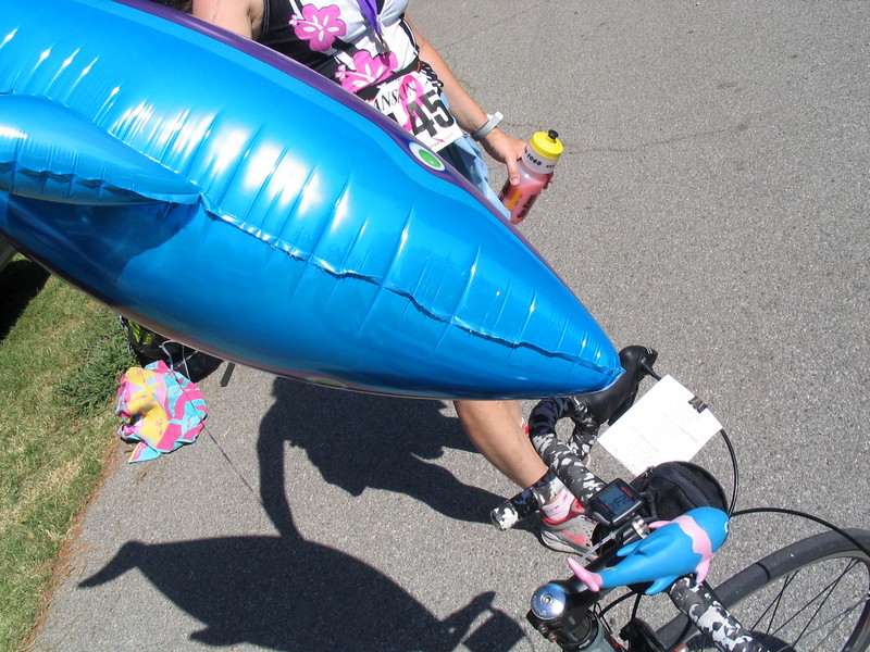
When we were getting ready to leave, I saw a woman holding a big blue mylar shark balloon. So I had to ask her about it. She said it was so her friends could find her. Maybe we should have tied one of those to Vikki. Anyway, I snapped a couple of pictures of the shark before we left.
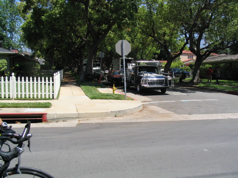
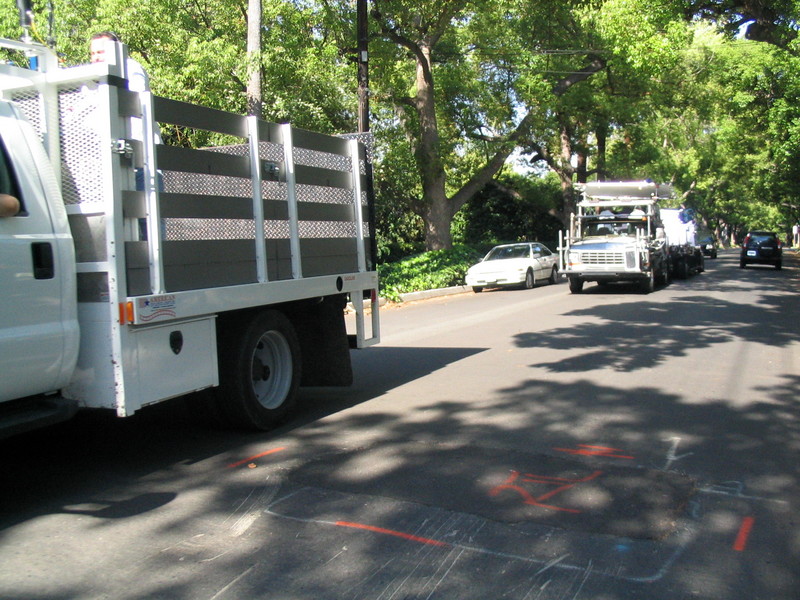
On the way out of the park, we took a somewhat creative route that took us through the maintenance yard and then past Raging Waters and Puddingstone Lake before we came out in San Dimas. Then we stopped at the Bagelry, where we had a bagel.
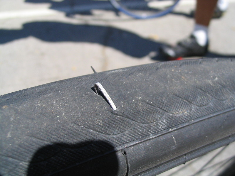
After the snack stop, we got on Gladstone and headed west. This is the nice street with the very slight downhill slant, so we all feel like a million bucks when we’re riding on it. Except for Jon, who got a flat. We found a small bit of shade to stop in while he fixed his tire. And did I mention that Jon was the first one to the top of the hill?
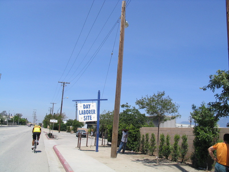
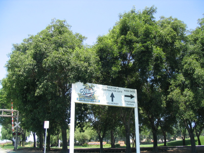
After the flat, we continued on Gladstone. That was where we saw the “Day Laborer Site” spot and also passed behind the Miller brewery. Years ago I remember reading about how there was an idea to put an NFL team in a new stadium in Irwindale. I thought that this would be perfect synergy. The brewery is already there, so they could just run a pipe directly into the stadium.
After we passed the brewery, we turned and went into the Santa Fe Dam Recreation Area. We stopped for water at the nature center. Then we rode up the bike path to the bridge into Duarte and got back on the streets for the last part of the ride home.
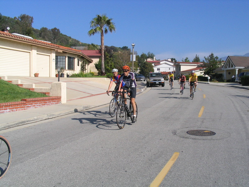
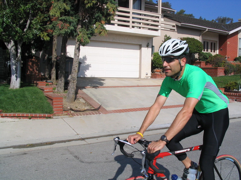
We took Royal Oaks for a bit before going up a small hill into Bradbury to get on Lemon Ave. Then we took that into Monrovia and got on Colorado. Then we took a right on Michillinda and rode up to the little street behind Sears and cut over to Rosemead and Orange Grove to get back to the park. At that point I had 49.3 miles, so I rode a few blocks extra on my way home to get to a nice round number.
50 miles.