Down for the Count – 2018
 |
 |
 |
 |
 |
 |
 |
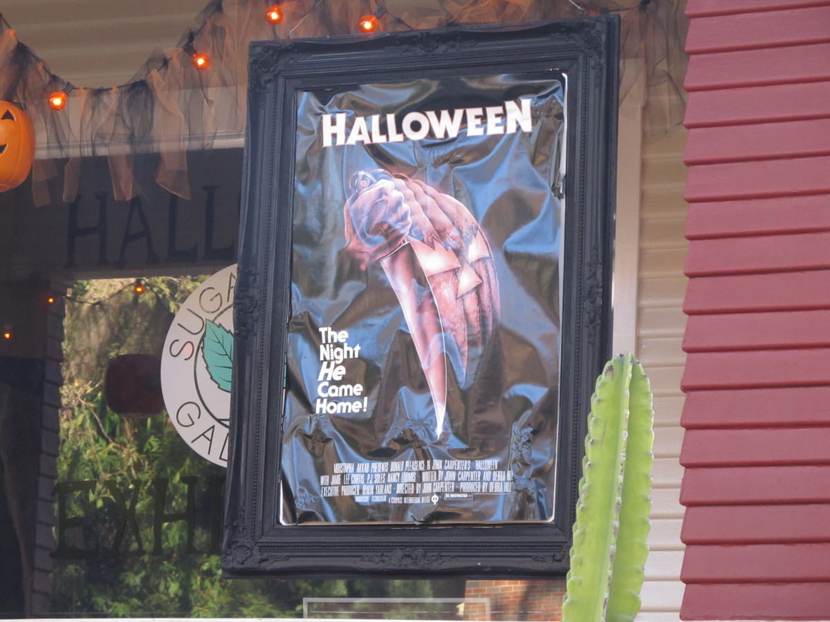
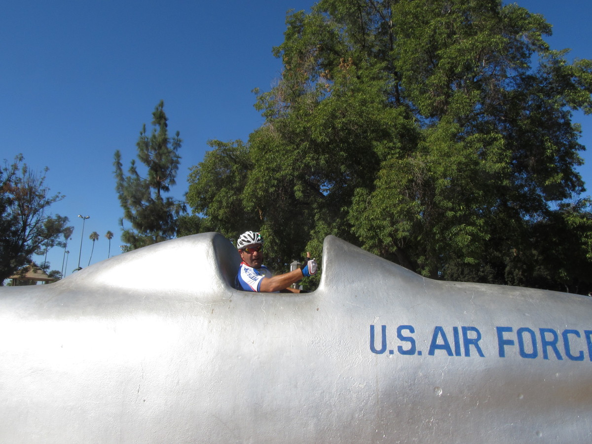
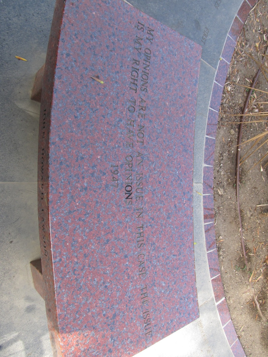
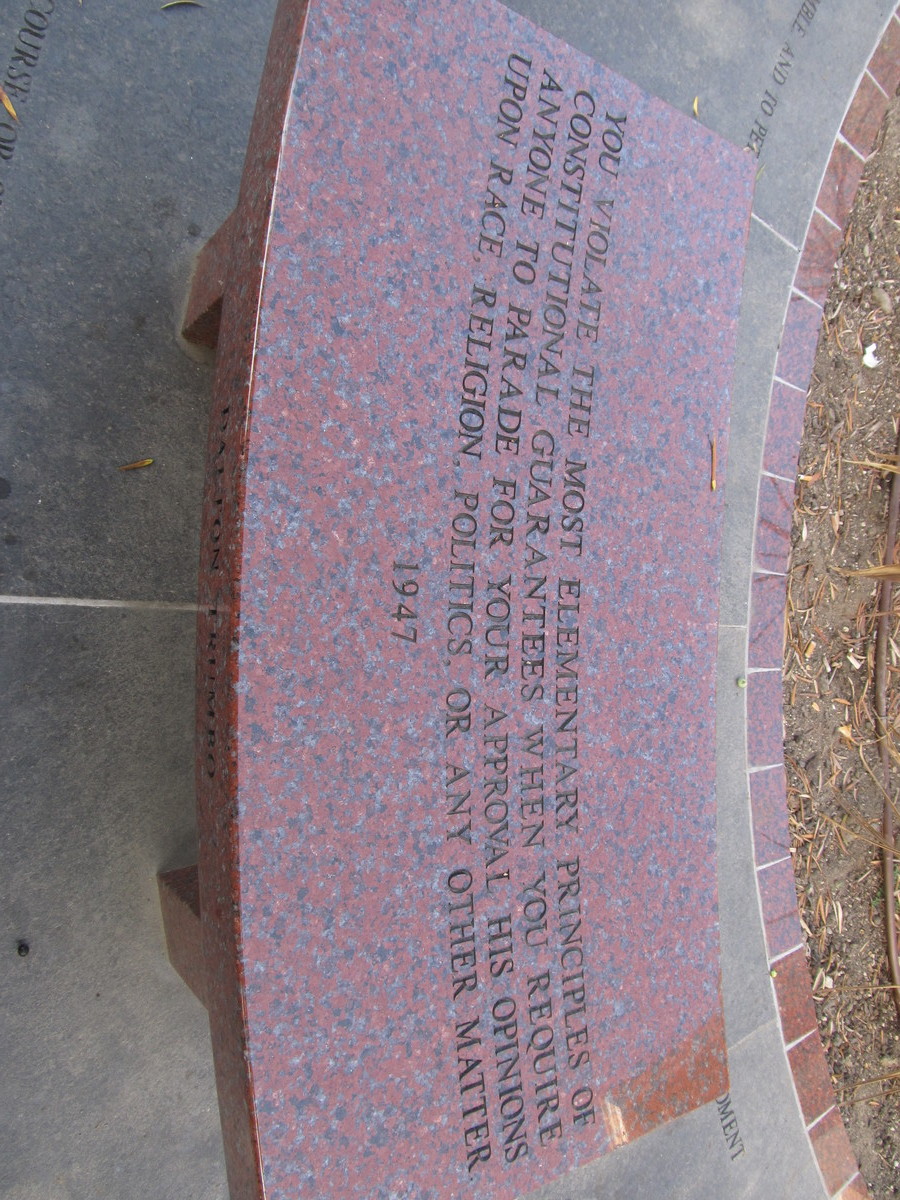
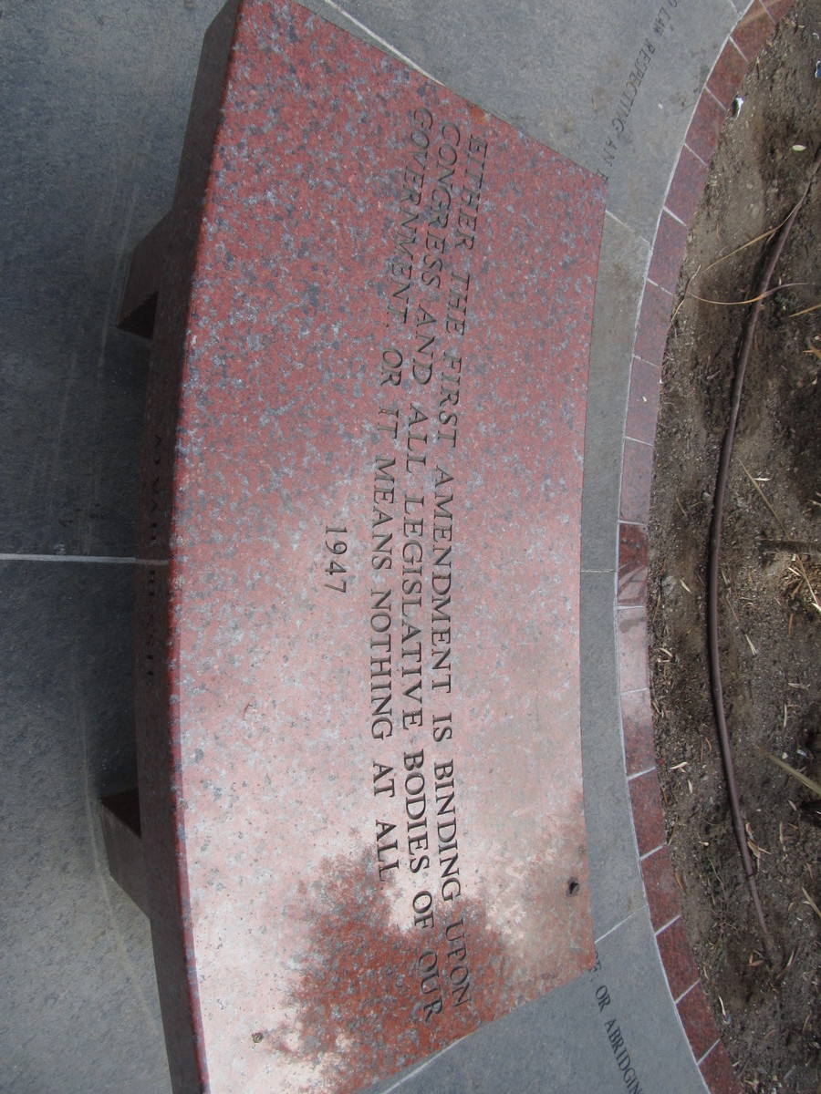
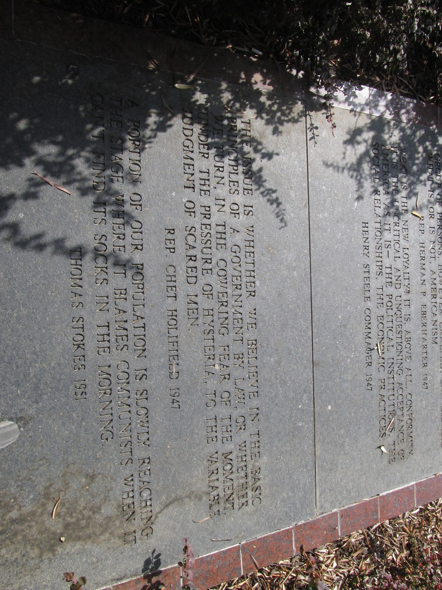
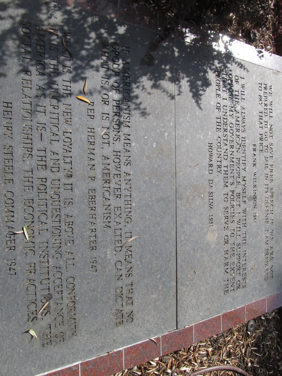
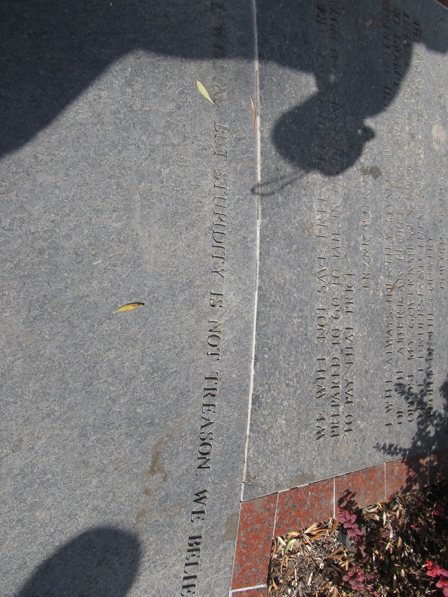
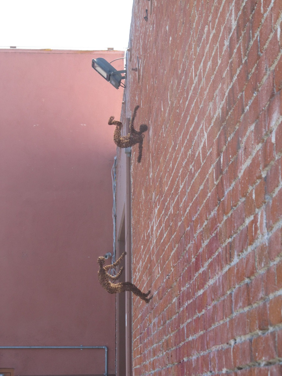
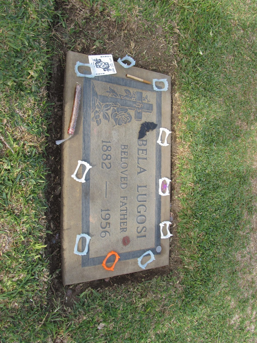
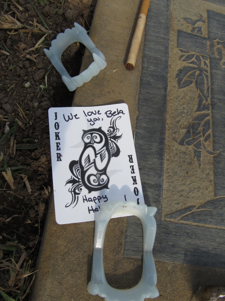
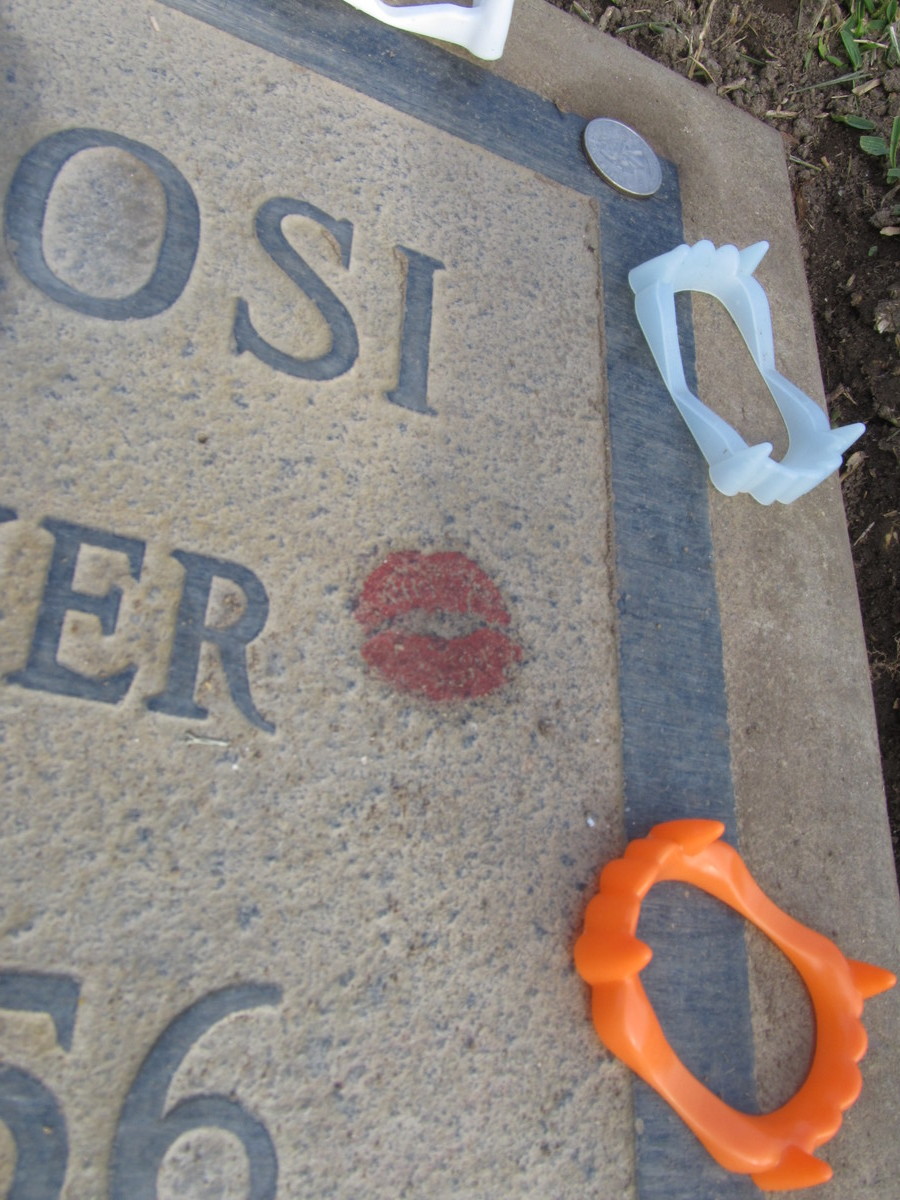
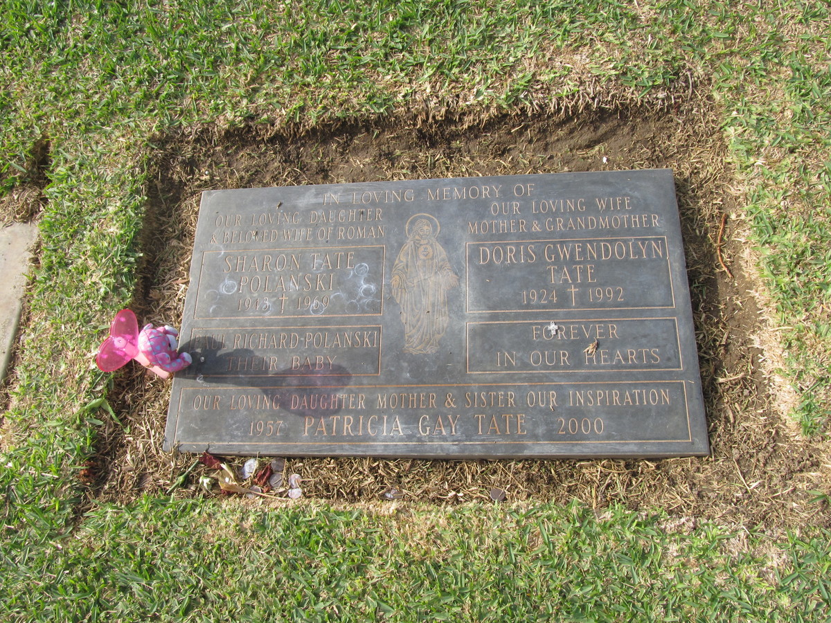
It’s the Sunday before Halloween, so it’s time for the annual “Down for the Count” ride to Culver City to visit Bela Lugosi’s grave. Someone comes and decorates for Halloween every year.
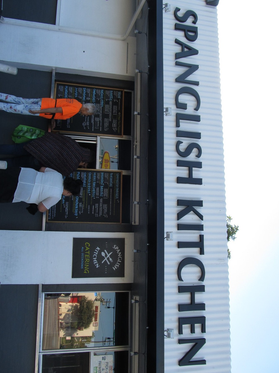
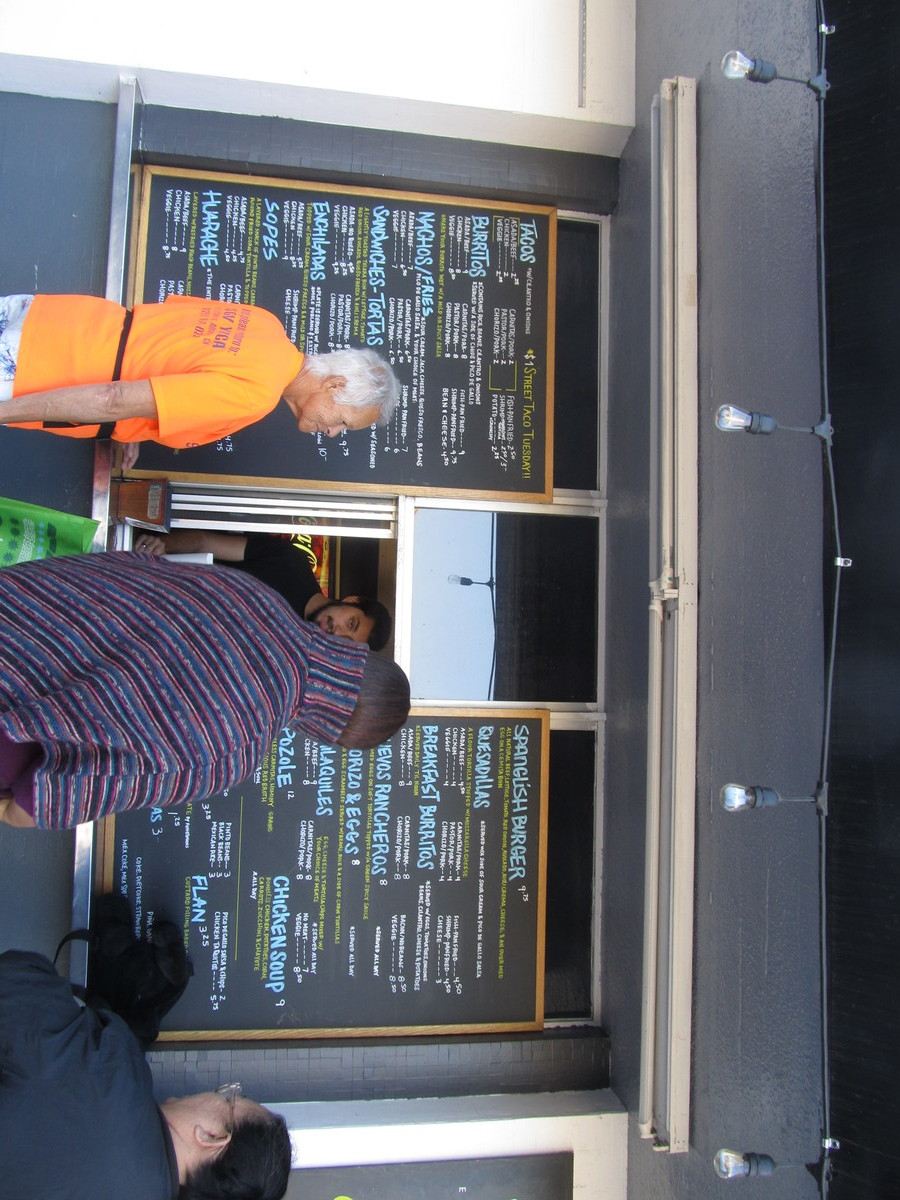
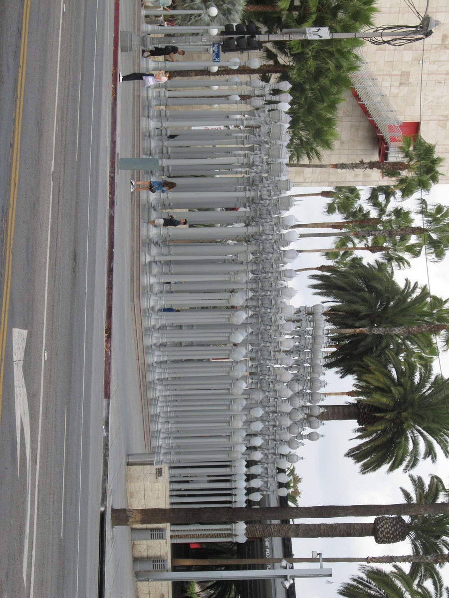
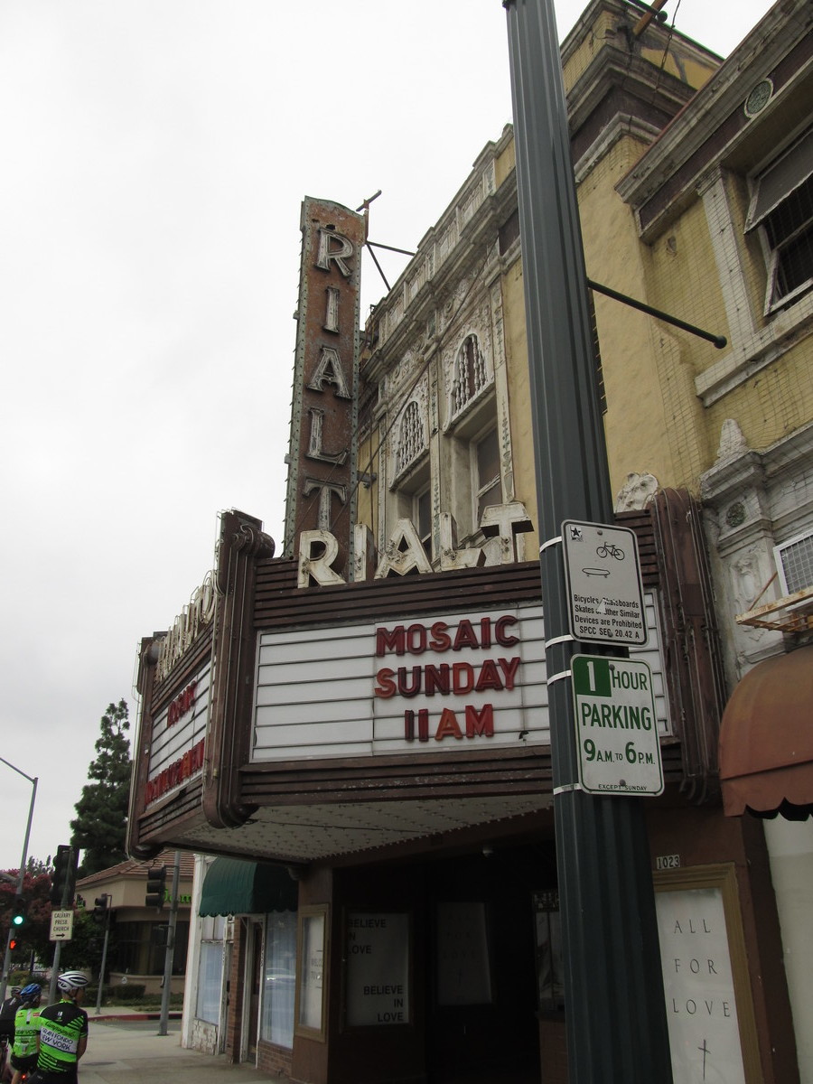
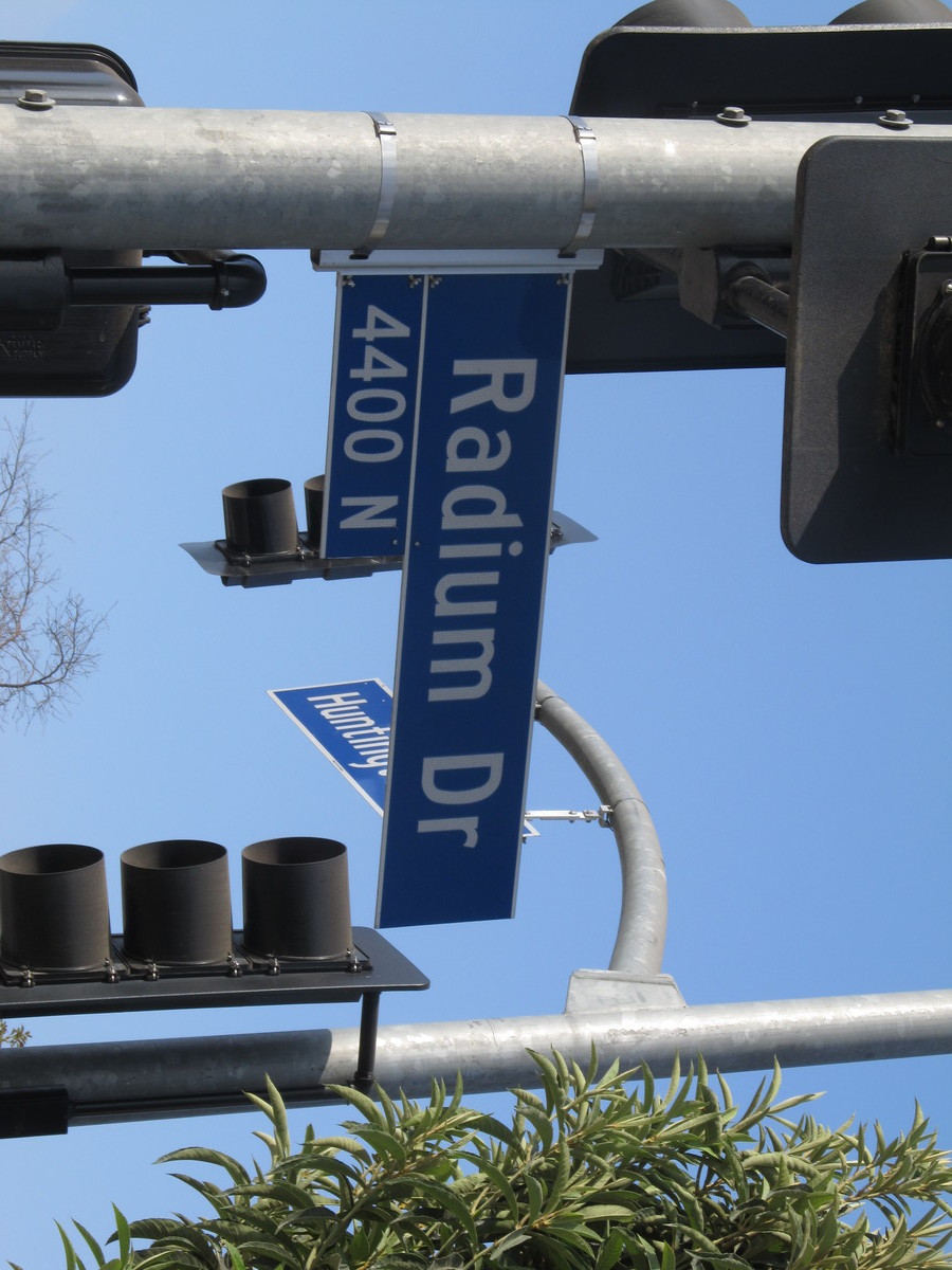
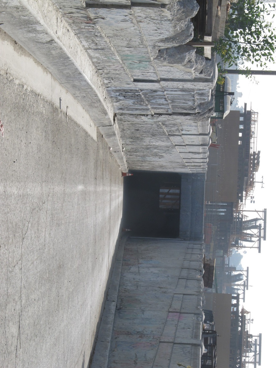
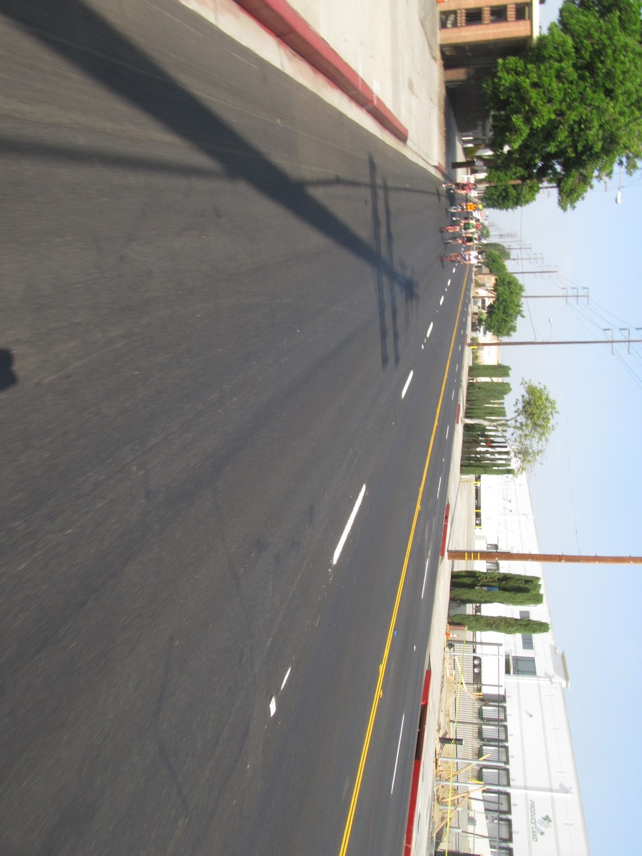
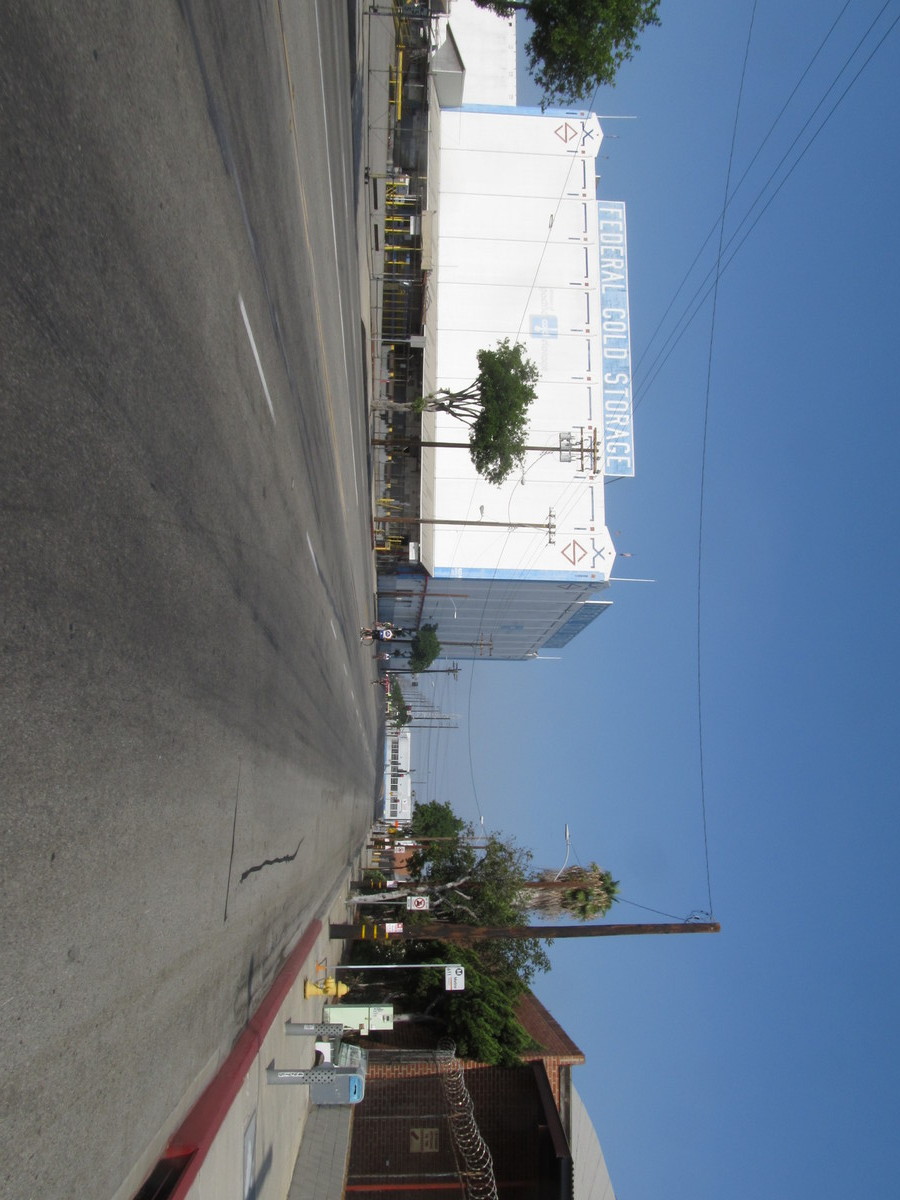
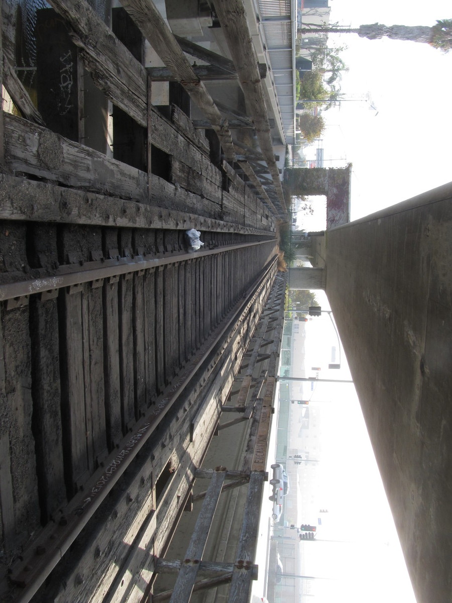
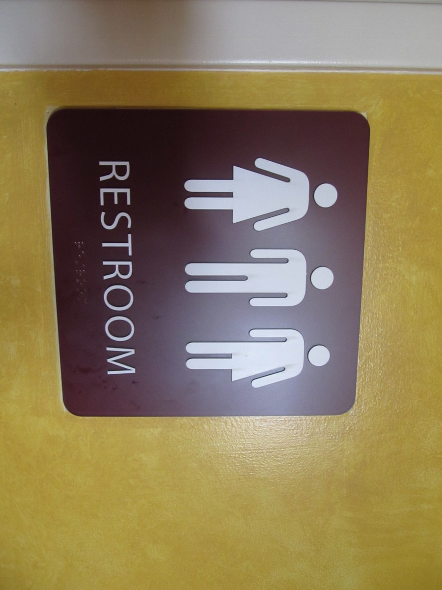
Our route out there is pretty straightforward. We head downtown, and then pick up the bike lane along the Metro Expo line out to La Cienega, and then the Ballona Creek bike path to Culver City. On the way back, we stopped at La Dijonaise in the old Helms Bakery building for snacks and drinks. I liked the signs they had outside the bathrooms. They truly were all-inclusive for men, women, and those in-between.
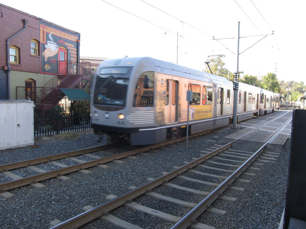
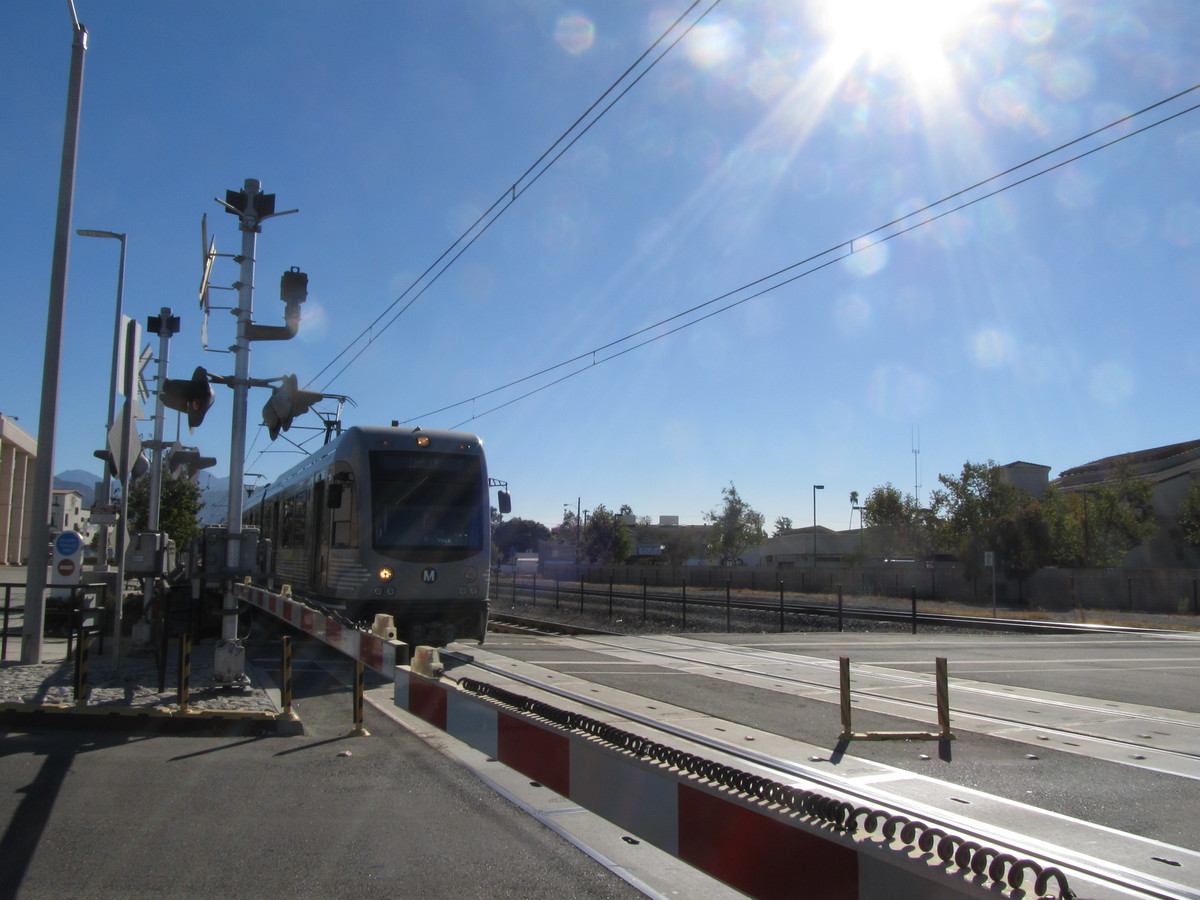
After snacks, we took Venice Blvd and 7th St back to downtown L.A. Then the Arroyo Seco bike trail to South Pasadena. At that point, I bailed out and took Metro Rail just to get home a little earlier, since I was planning on going back downtown to go see the Hapa.Me exhibit at the Japanese museum in Little Tokyo.
50 miles.