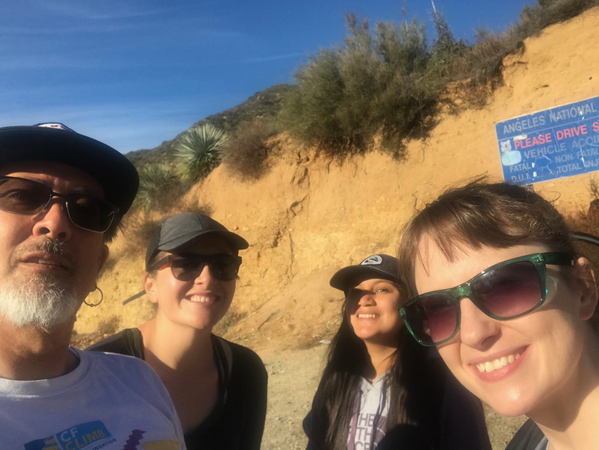
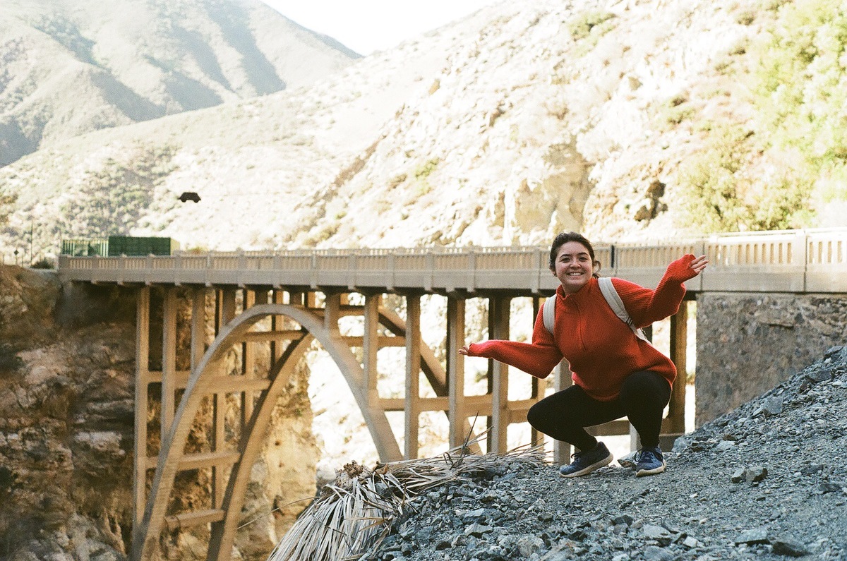
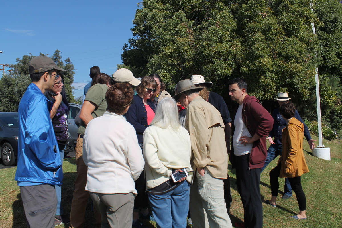
Today was the latest version of the San Andreas Fault tour with Atlas Obscura. This is about the fifth time we’ve done this tour, which is based on Sue Hough’s book, Finding Fault in California: An Earthquake Tourist’s Guide. Back in 2014, Sue took our office on a tour based on her book, and I knew immediately that this tour would be a hit with the Atlas Obscura crowd.
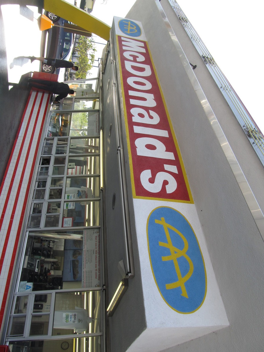
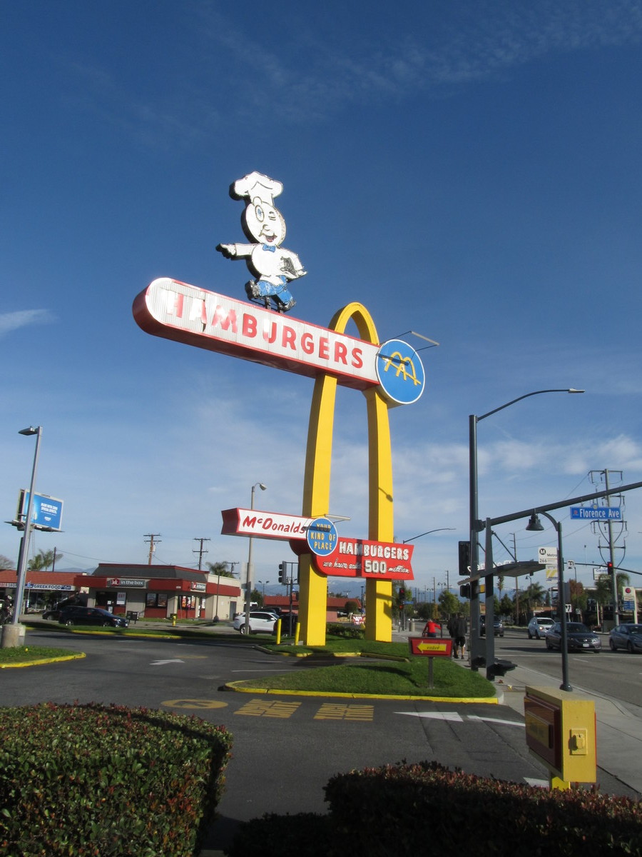
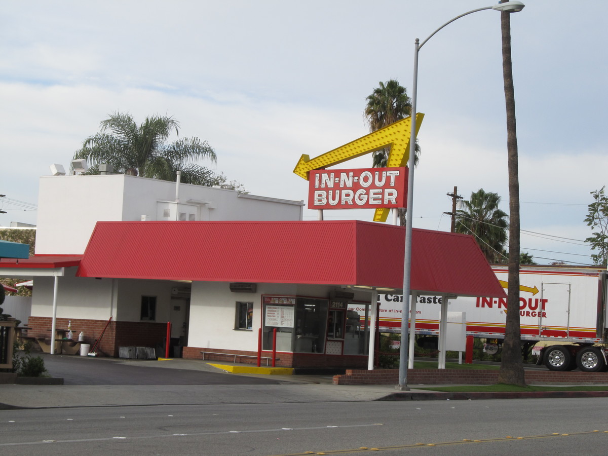
The first stop was the McDonald’s in San Fernando, which has a nice little fault scarp between the drive-through and the parking lot. This is a remnant from the 1971 San Fernando Earthquake. After that, we headed up the 14 Freeway, passing over the famous interchange that fell down in 1971, and then again in 1994, and then on to the Antelope Valley. We stopped at the scenic overlook by Lake Palmdale, and then took a short walk up the hill to see the famous road cut where the freeway cuts through a hill that was pushed up by motion on the fault.
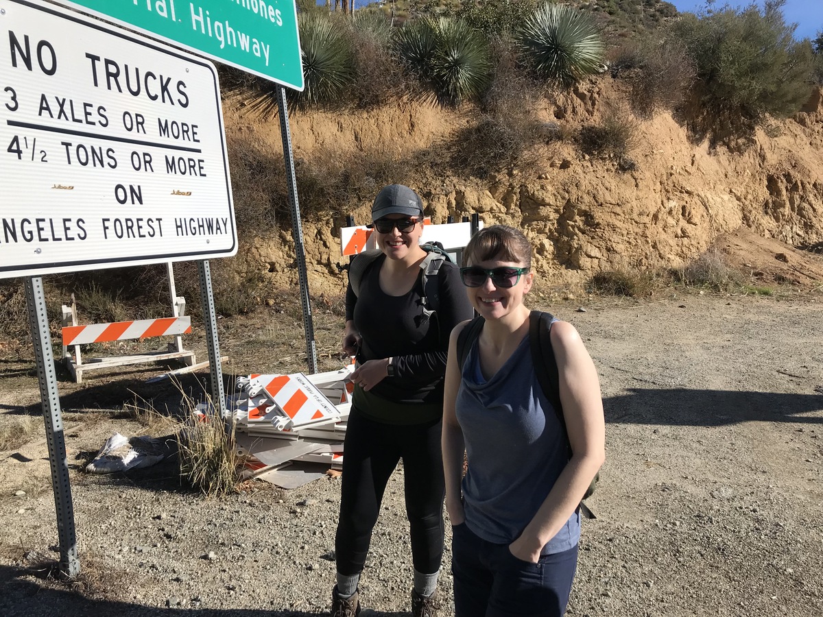
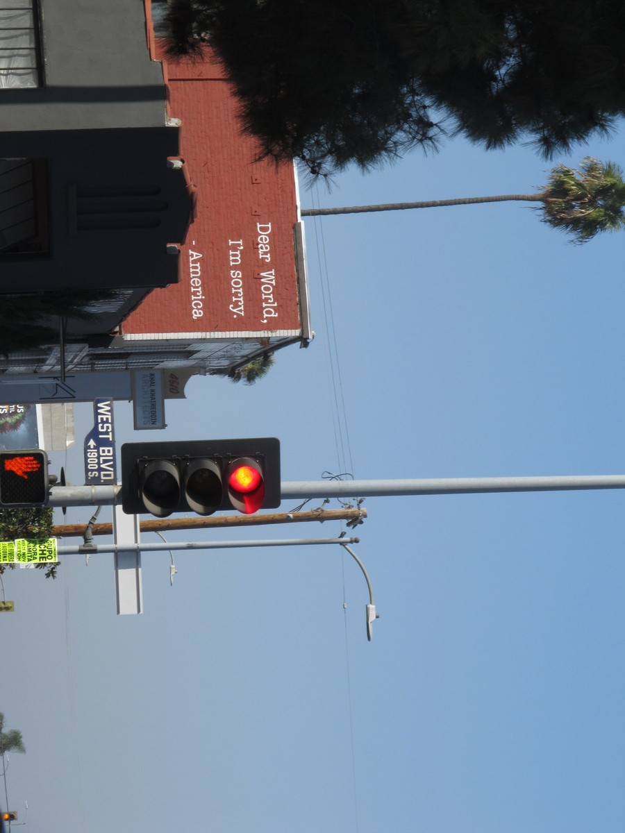
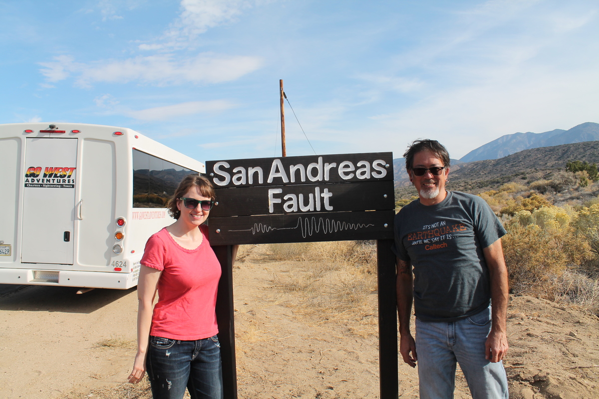
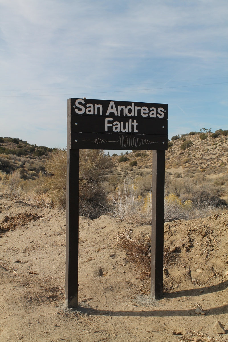
WE stopped for lunch at Charlie Brown Farms in Littlerock, and then we went on to Pearblossom. We stopped for a photo-op at the signs marking where the fault crosses the road. There was a pair of signs there that someone installed decades ago, but those signs were vandalized some time in the last year or so. So Morgan and I had made a new pair of signs, which we took a field trip to go and install back in May. The new signs are still there, and still look nice and clean and new. After that, we went just a short distance down the road to go see the Pallett Creek trench site, which was the birthplace of the relatively new science of paleoseismology.
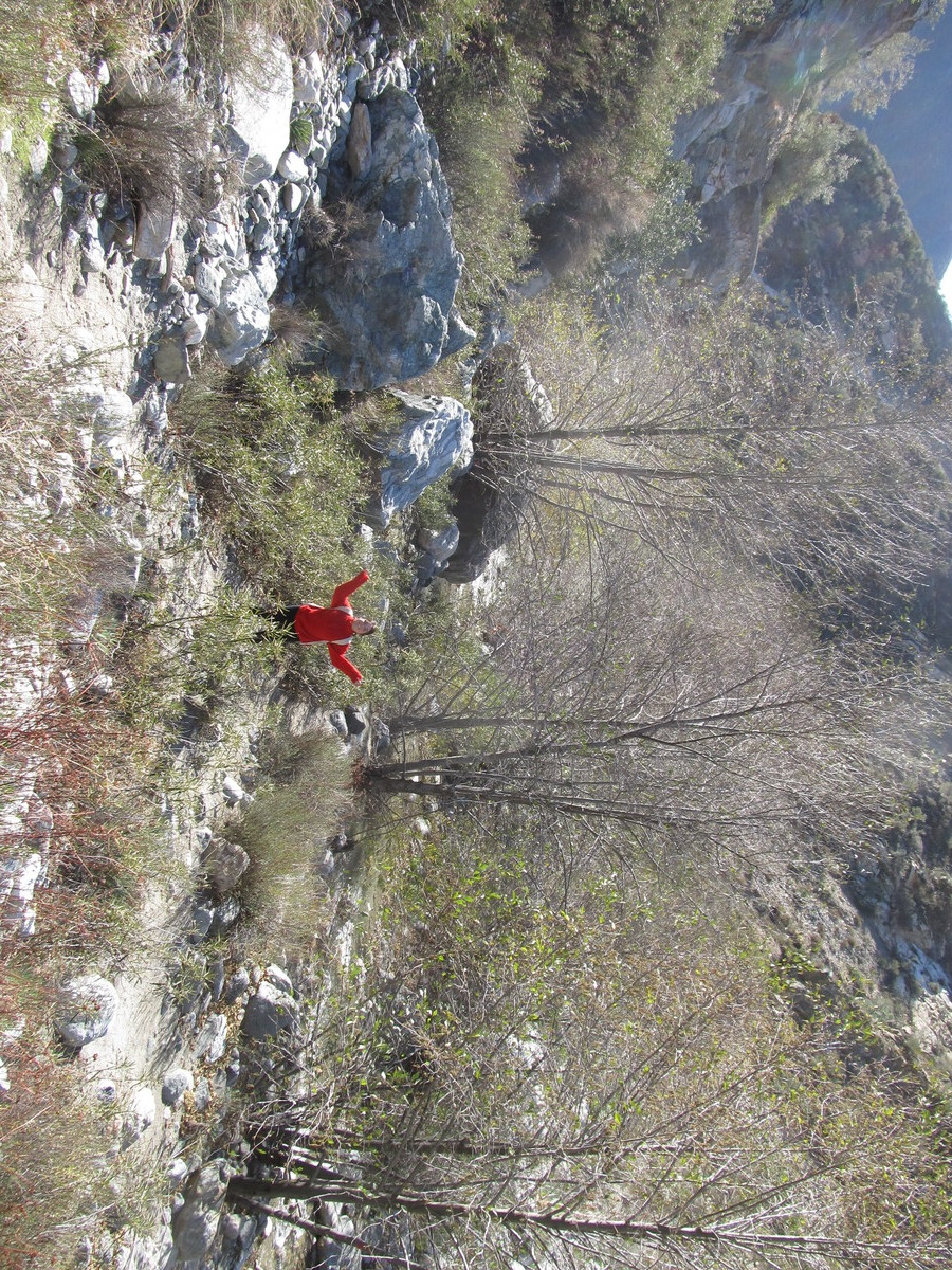
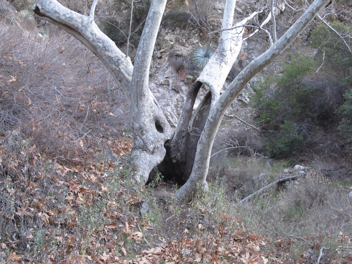
Heading up into the mountains, we stopped to dig a bit in some fault gouge in a road cut near Big Pines. Then we went through Wrightwood, and on down into Cajon Pass. That was the final stop, at Lost Lake, which is a small sag pond. It’s a pretty unlikely place for a lake, which is the charm of it. After that, we headed back to Pasadena.