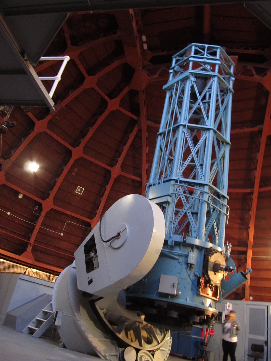
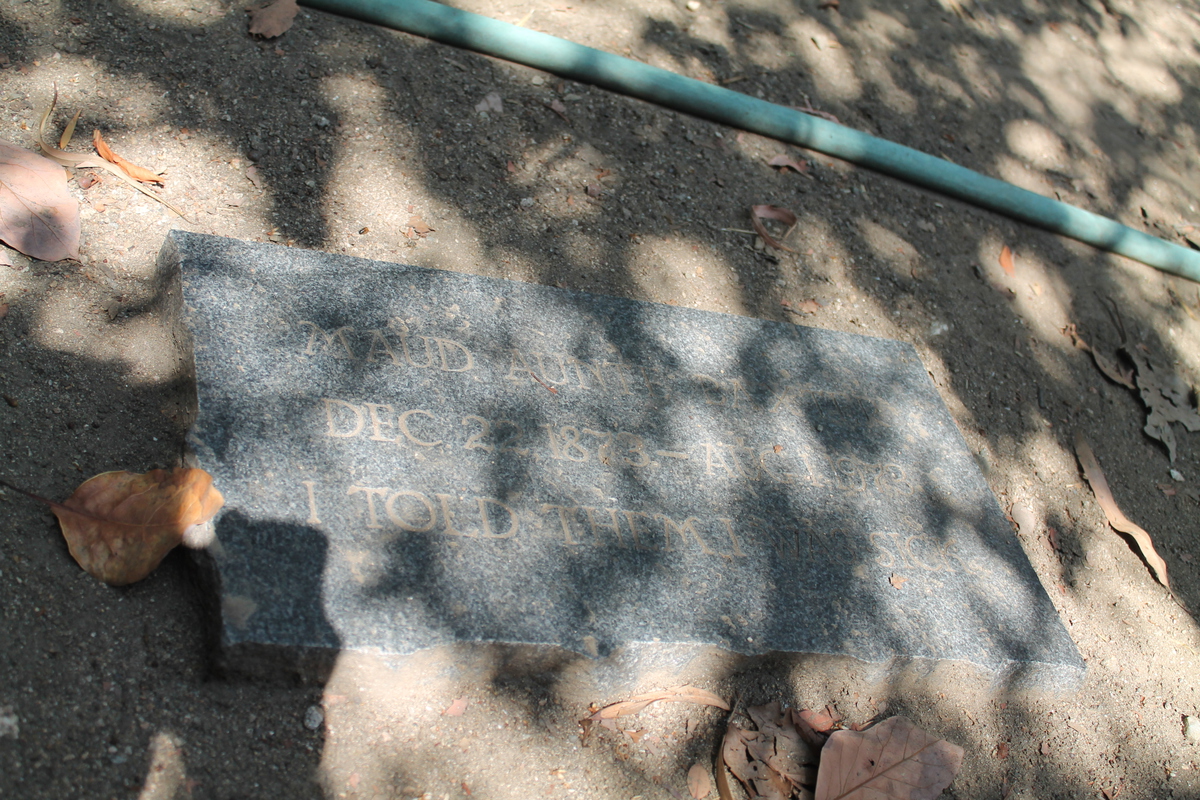
Cucamonga Peak
 |
 |
 |
 |
 |
 |
 |
 |
 |
 |
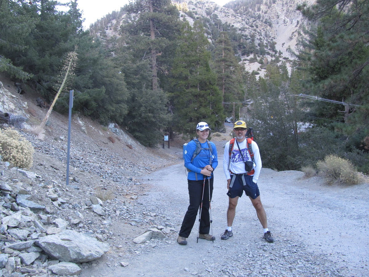
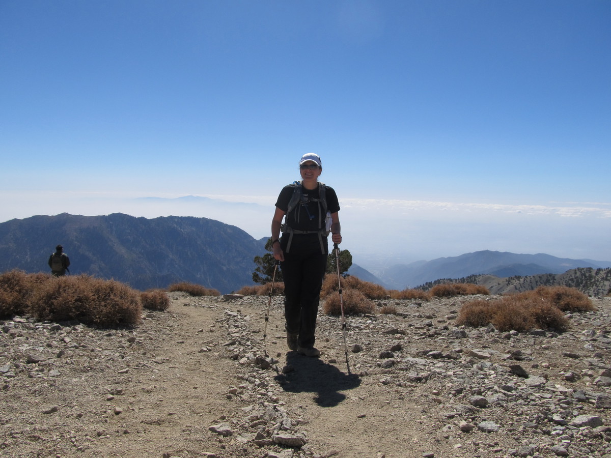
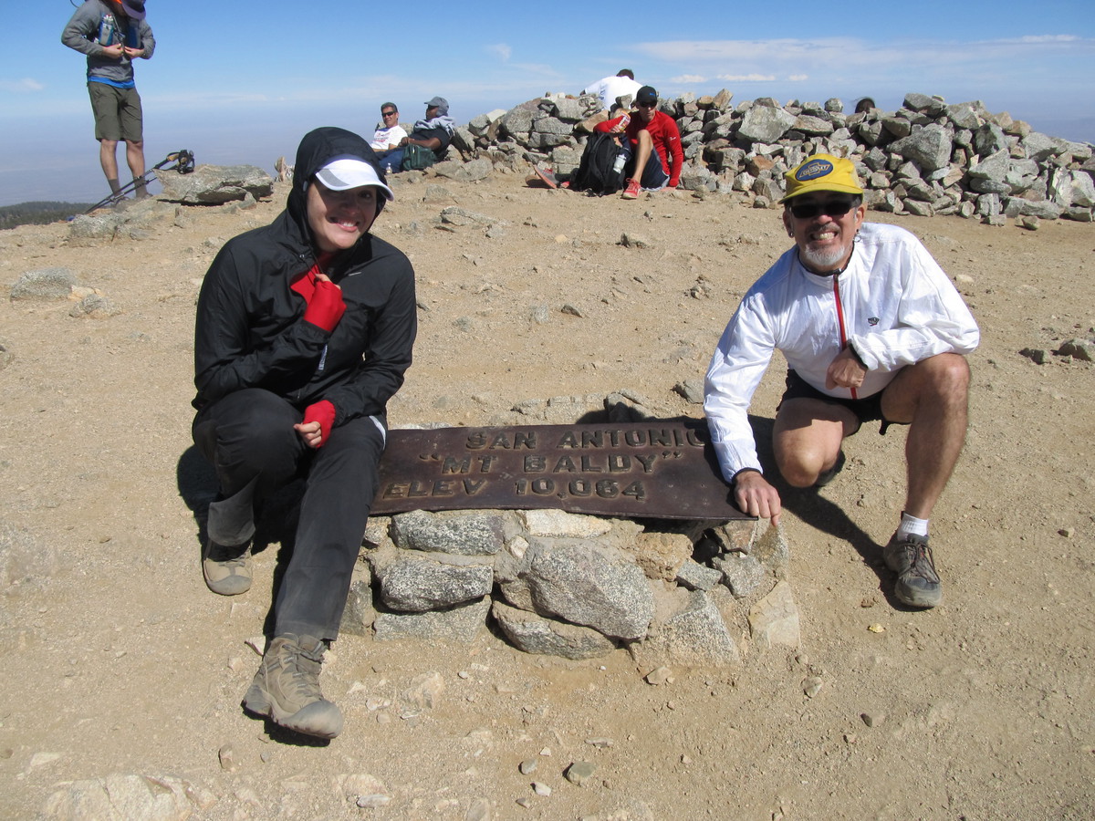
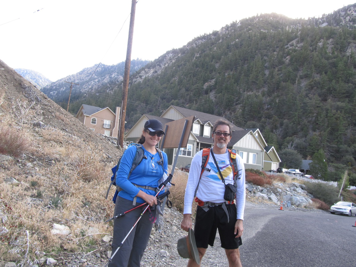
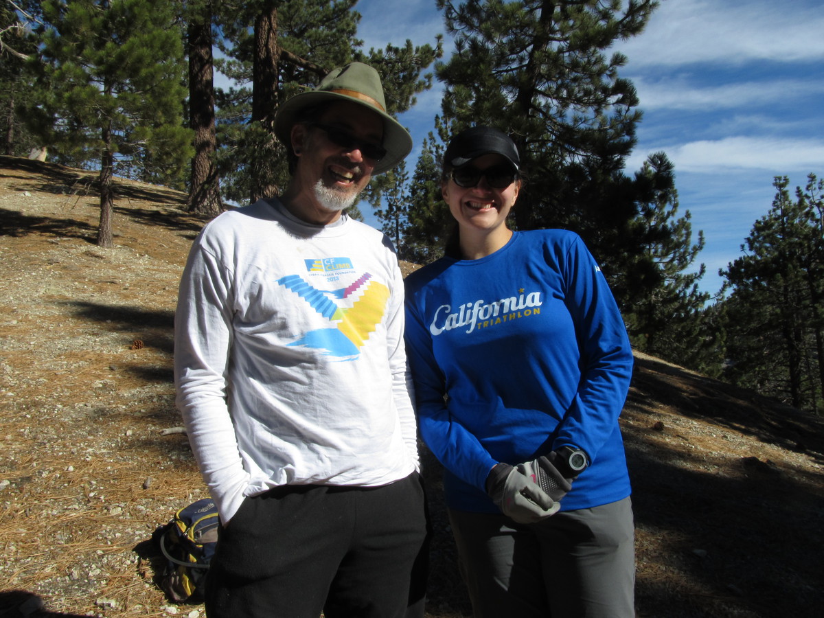
Last month, when we climbed Mt Baldy, Karina had mentioned that she thought that the hike up Cucamonga Peak was actually a bit harder than the Baldy hike. Given how hard Baldy is, I was a bit skeptical. Still, I’d always wanted to try Cucamonga Peak, since it’s one of the highest mountains in the front part of the San Gabriels.
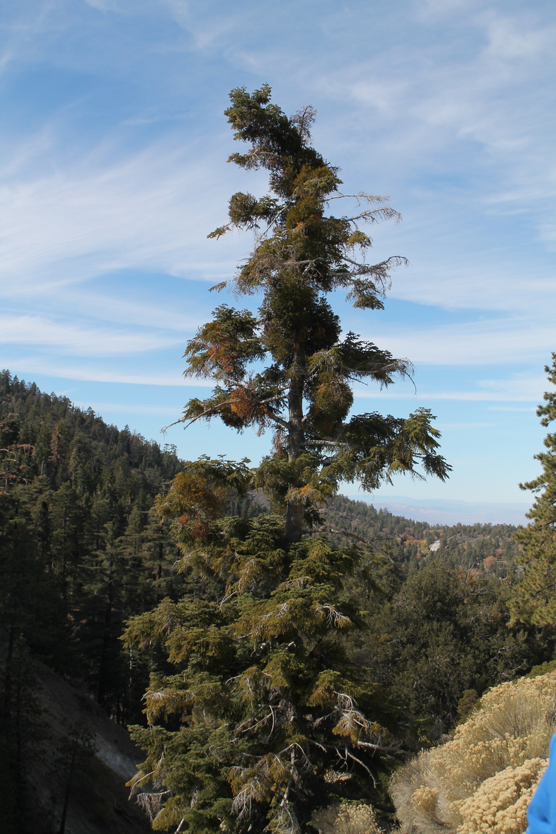
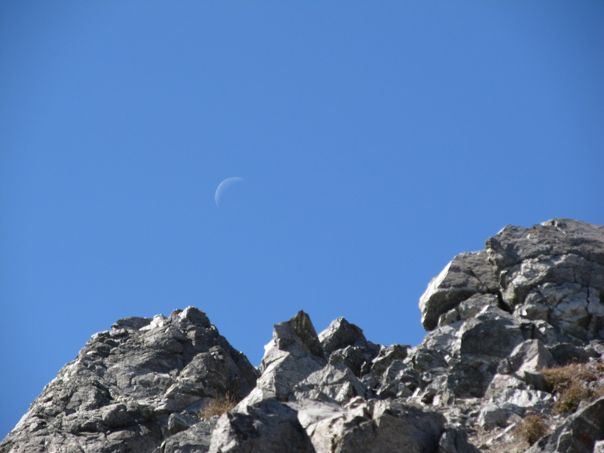
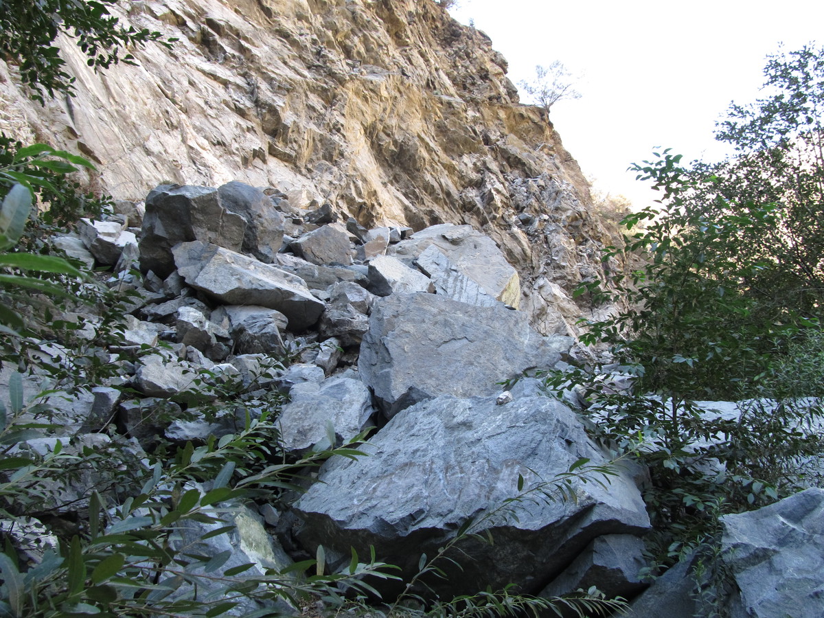
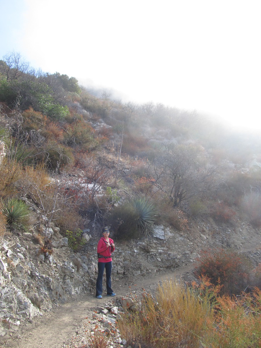
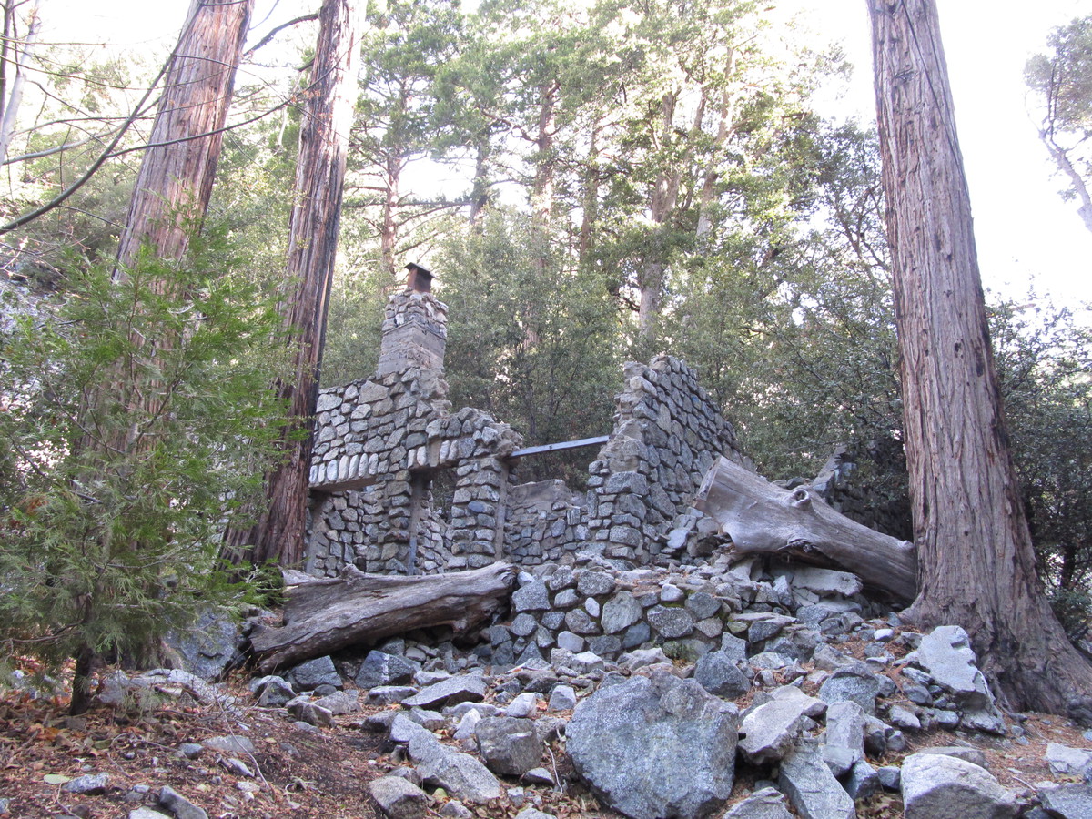
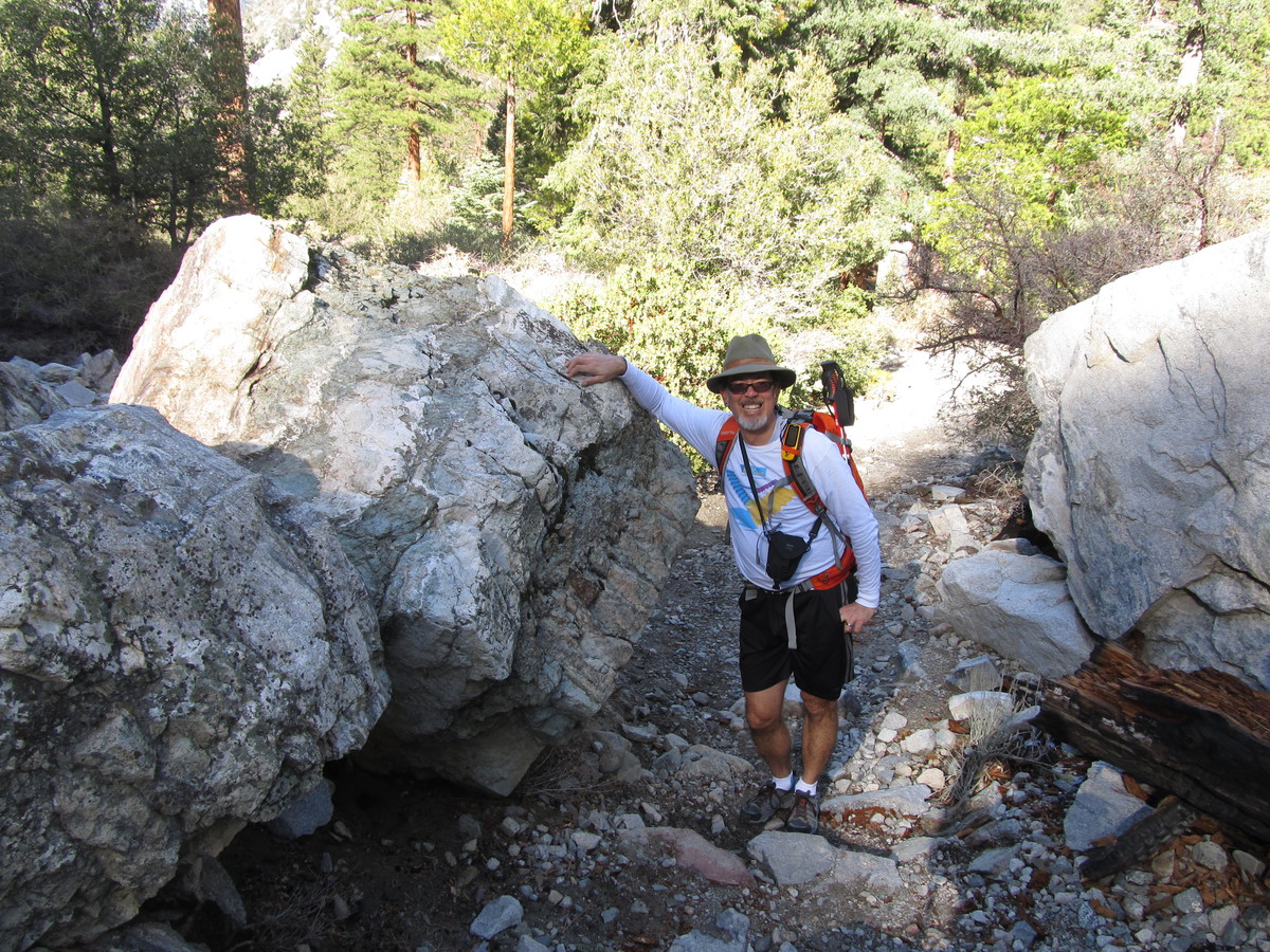
We started up the trail at 9:23 in the morning. It was promising to be a nice day, although we thought that there might be a bit of snow up high, since it had rained a tiny bit a couple nights ago. Starting out up Ice House Canyon, we passed by several cabins, and several more ruins of former cabins. Judging by the size of the boulders in the canyon that had pretty obviously fallen from high up, it was not surprising to see that some of the cabins had been destroyed. As we got a little higher up the canyon, we could see that there was a thin layer of snow on the south wall of the canyon. The north wall was in sunlight, and the snow there had melted. There were just some small patches in the shade of trees or rocks.
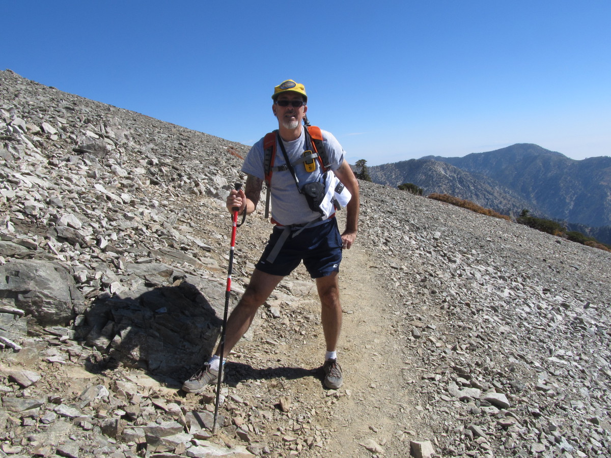
At that point, the trail got steep, and we went up a series of big switchbacks to climb up out of the canyon. And then we came out in Ice house Saddle. At that point, there were trails going off in different directions to climb various nearby peaks. It was here that I realized how cold it really was, and I put on my sweatshirt and sweatpants.
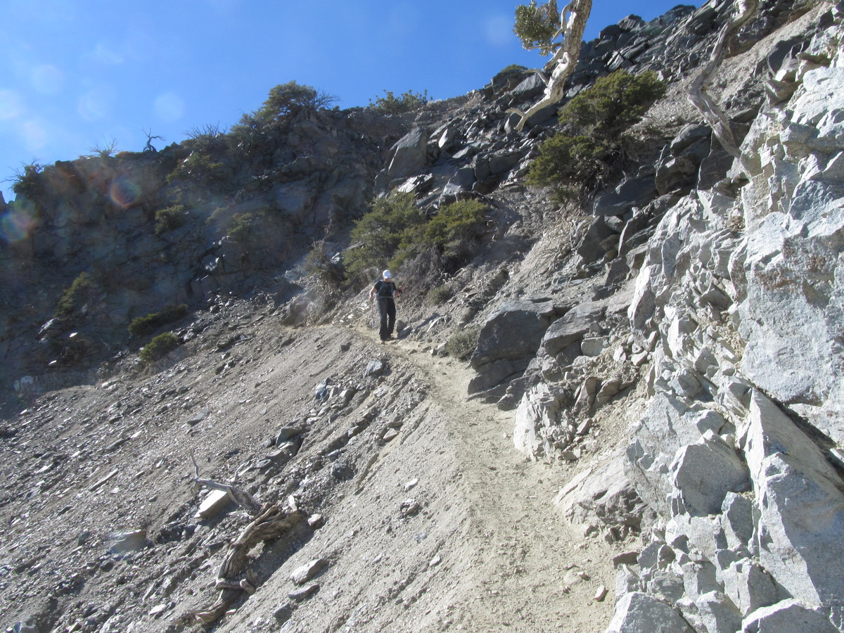
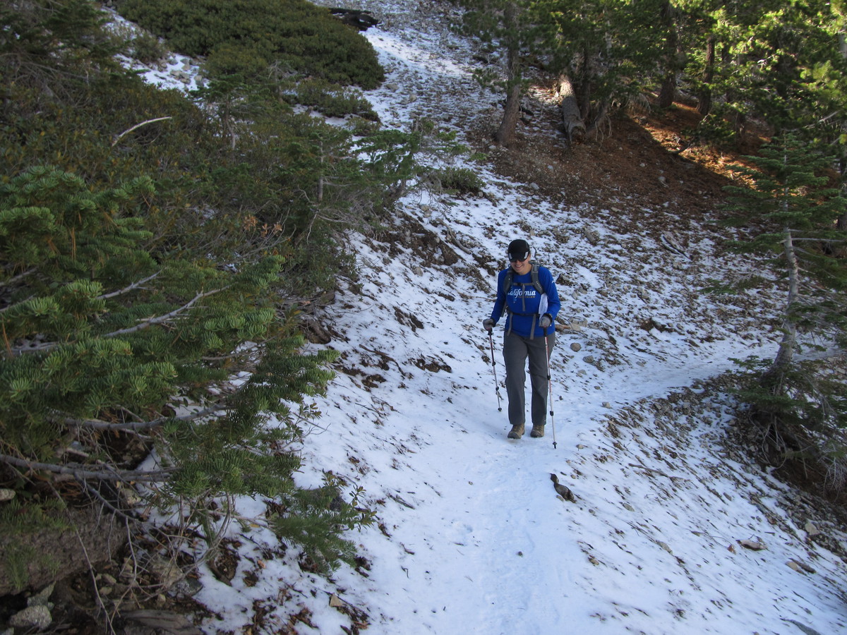
The trail to Cucamonga Peak goes around the side of Bighorn Peak, and the first part of the trail is across the north side of the mountain. There was quite a bit of snow there. The side of the mountain there is very steep, and the trail is just a narrow path carved into the steep slope. With snow on it, it was really kind of scary. I got out both my poles to use for balance and stability.
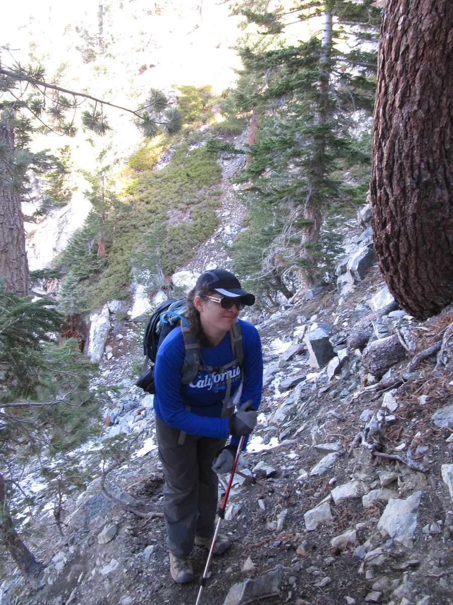
As we came around to the saddle between Bighorn Peak and Cucamonga Peak, the snow went away, although the trail was still crossing some intimidatingly-steep slopes. When we got to the saddle, we stopped and had lunch. From the sounds we were hearing, it sounded like the wind was blowing pretty hard higher up, so we figured that it was probably better to stop in the relatively-sheltered saddle for lunch. While we were there, another group of three hikers passed us. We had passed them on the way up Ice House Canyon, so I said we should make it our goal to catch them before the summit.
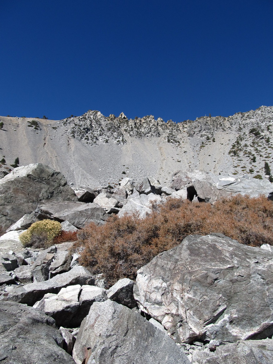
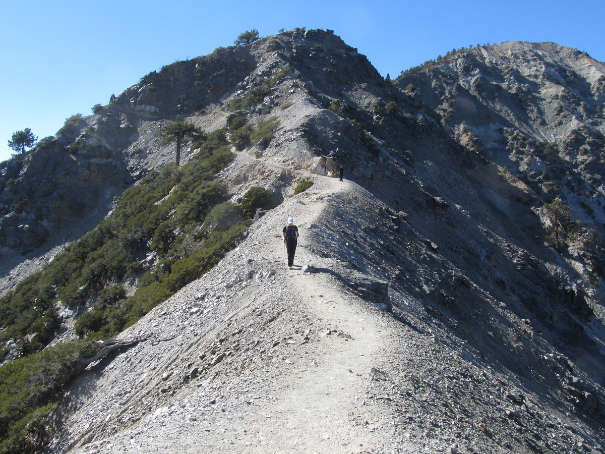
Leaving the saddle, the trail started up some more steep switchbacks, including a couple of crossings across a big scree slope that kind of gave me the willies. Fortunately, it was on the west side of the peak, so there was no snow there. There was more snow farther up the trail, but the north-facing slopes there had a fair number of big trees on them, so it didn’t feel so exposed. We caught up with the other group just a short distance below the summit.
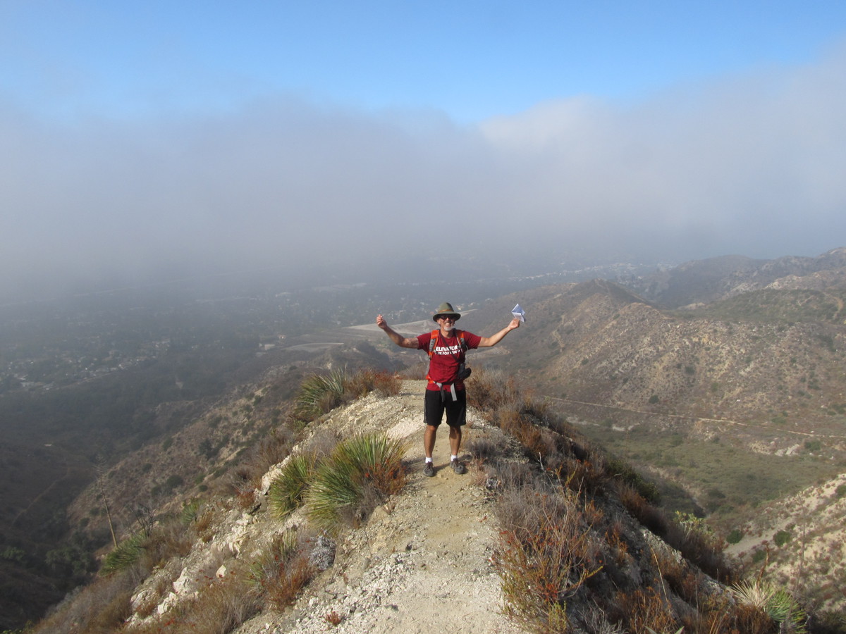
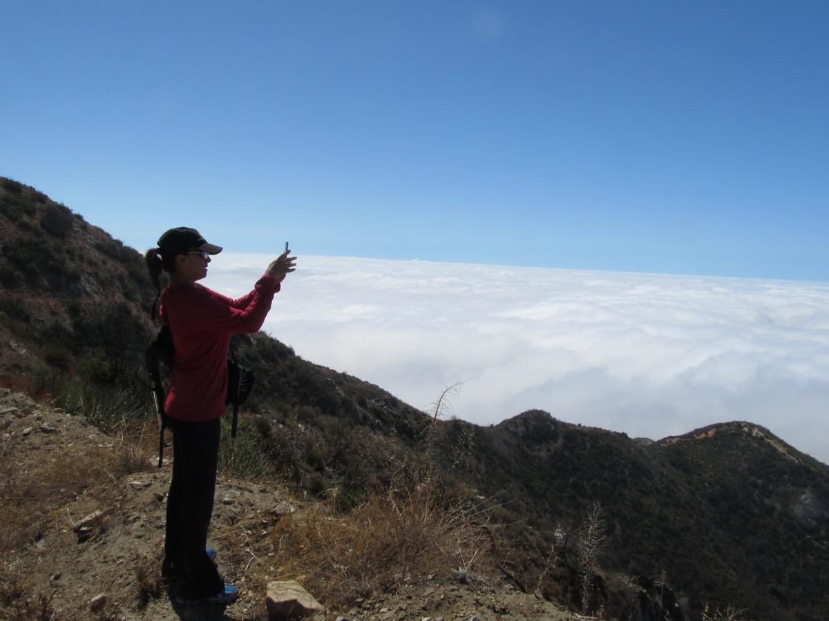
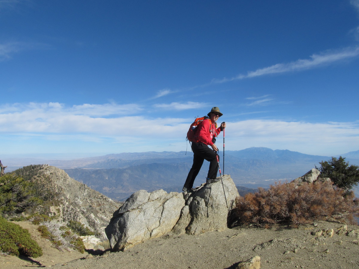
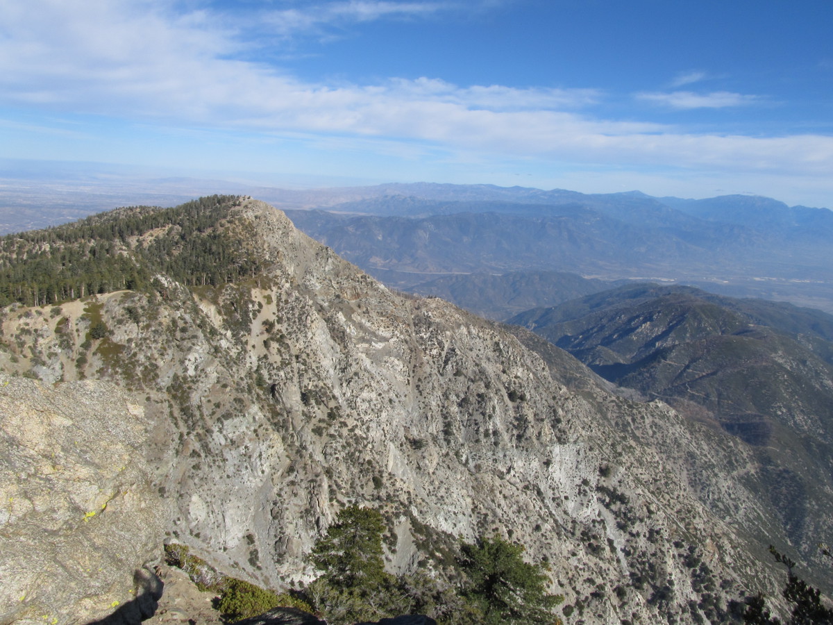
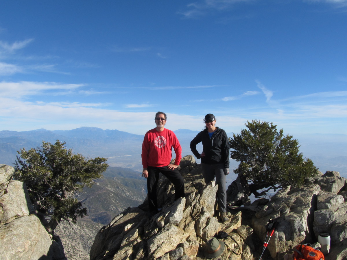
At the top, I made a point to climb up and stand on top of the highest rock, just, you know, because. We had a look at the view down into Cajon Pass, where we’d been on the office field trip last week. I was particularly impressed by how steep and rugged the south face of Etiwanda Peak was. After a few minutes, the other group came up to the summit, and we got them to take our souvenir picture with the view. I also gave them some of my water, since I wasn’t going to use all that I’d brought along.
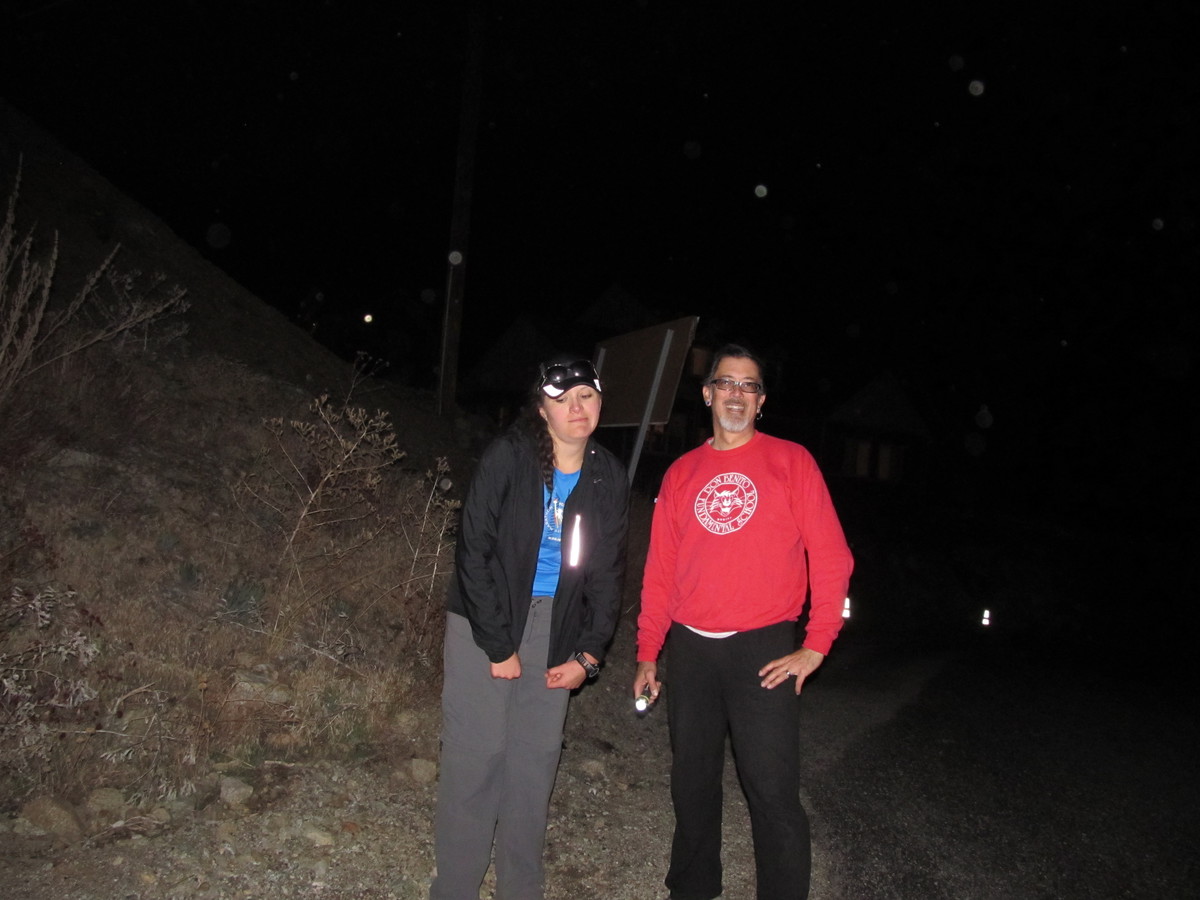
When we started back down, we made much better time than on the way up. It first, I thought we’d make it back before sundown, but we really missed that extra hour of sunlight that we had for Baldy last month. And sunset came when we were still about a mile from the end. At that point, i was glad that I’d thought to put a flashlight in my pack. It wasn’t a particularly bright one, but it helped. And we made it back to the end. On the way home, we wondered what had become of the group we’d seen at the top, since we didn’t see them at all on the way down, so they must have come down much later than us. Anyway, it was a fun hike, and yes, I agree now that it’s harder than Mt Baldy. I also think that a hike this long was perhaps a bit over-ambitious for this time of year. We really didn’t like walking that last mile in the dark. Still, it was a good time.