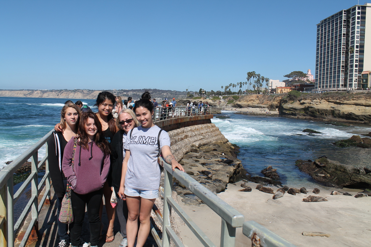
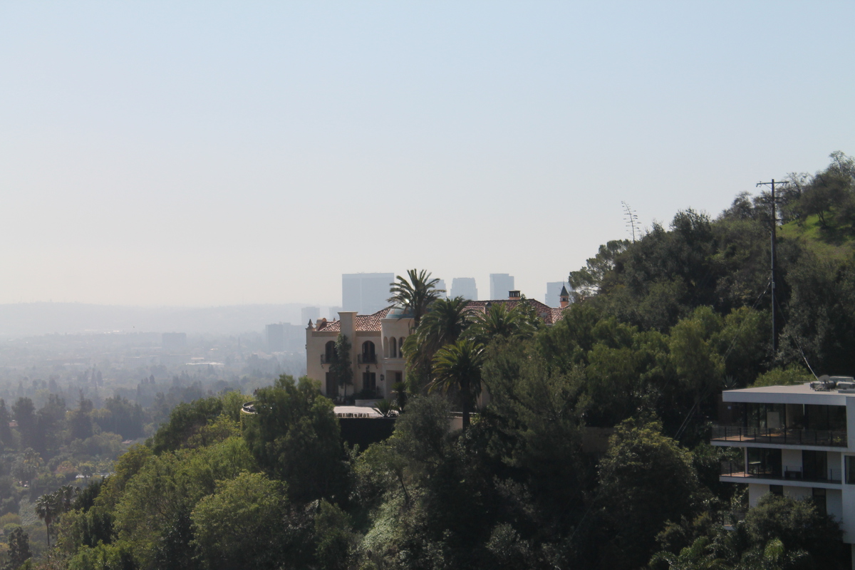
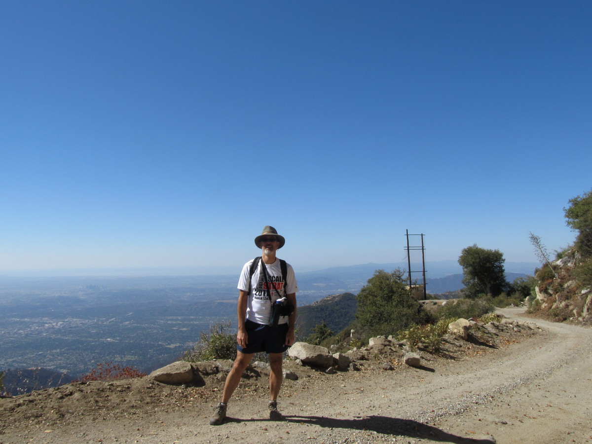
I can still see my house from up here
 |
 |
 |
 |
 |
Today was time for the Los Angeles edition of the Lung Association’s Fight for Air Climb. 63 stories up the stairs at the Aon building downtown. This was the first stair climb I ever did, back in 2009. At the time, I had no idea what I was getting into, and certainly no idea I’d still be doing it five years later, or that I’d end up making an actual contribution to this insane little sport.
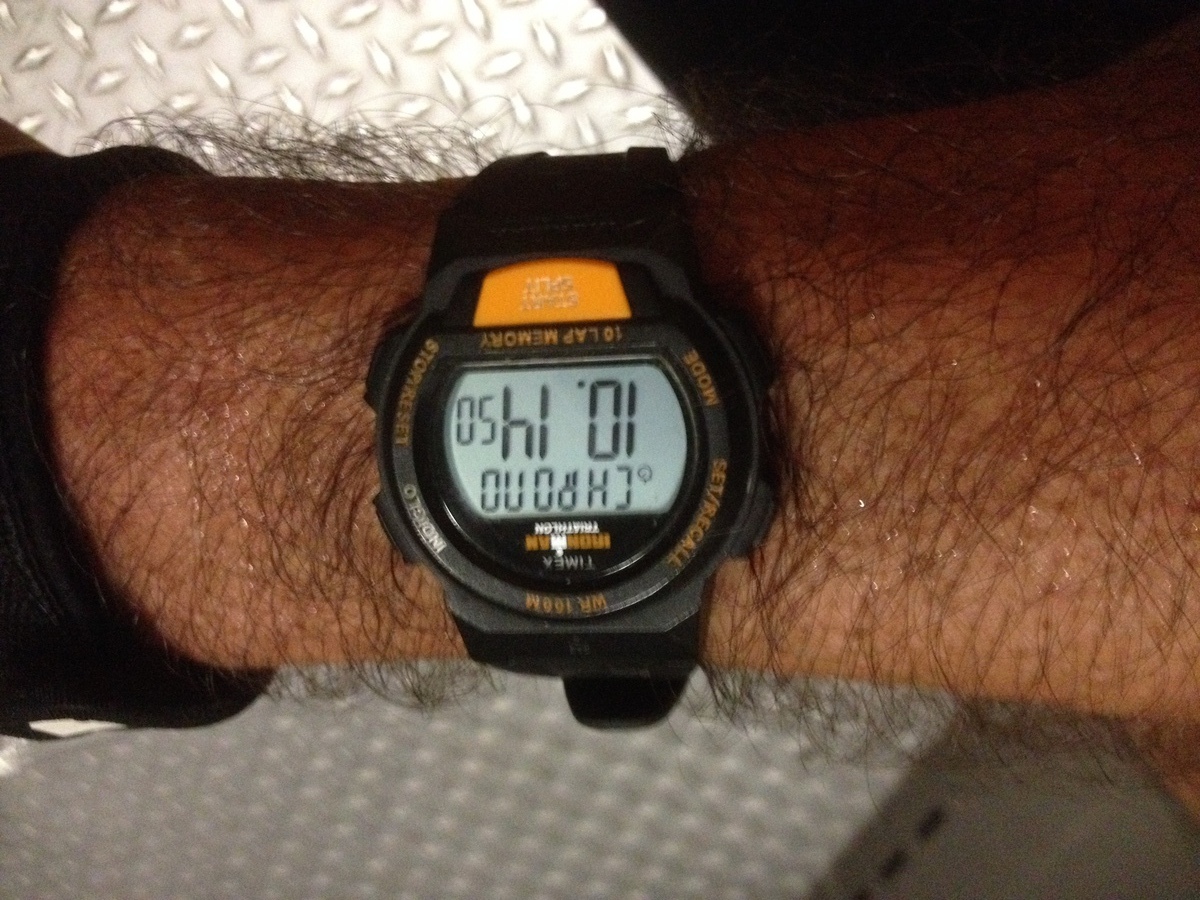
Since I’ve been having major back issues since November, I went into this with the idea that I wanted to have no expectations. And that was my intention. But since I’ve been doing a little bit of faster stair climbing in practice, I thought I’d maybe try for at least a little bit of speed. But when we got there, I realized that I’d forgotten to bring my watch. So even if I wanted to go for speed, there was no way to really do that without a watch. So that made it easy to go into this event with no expectations.
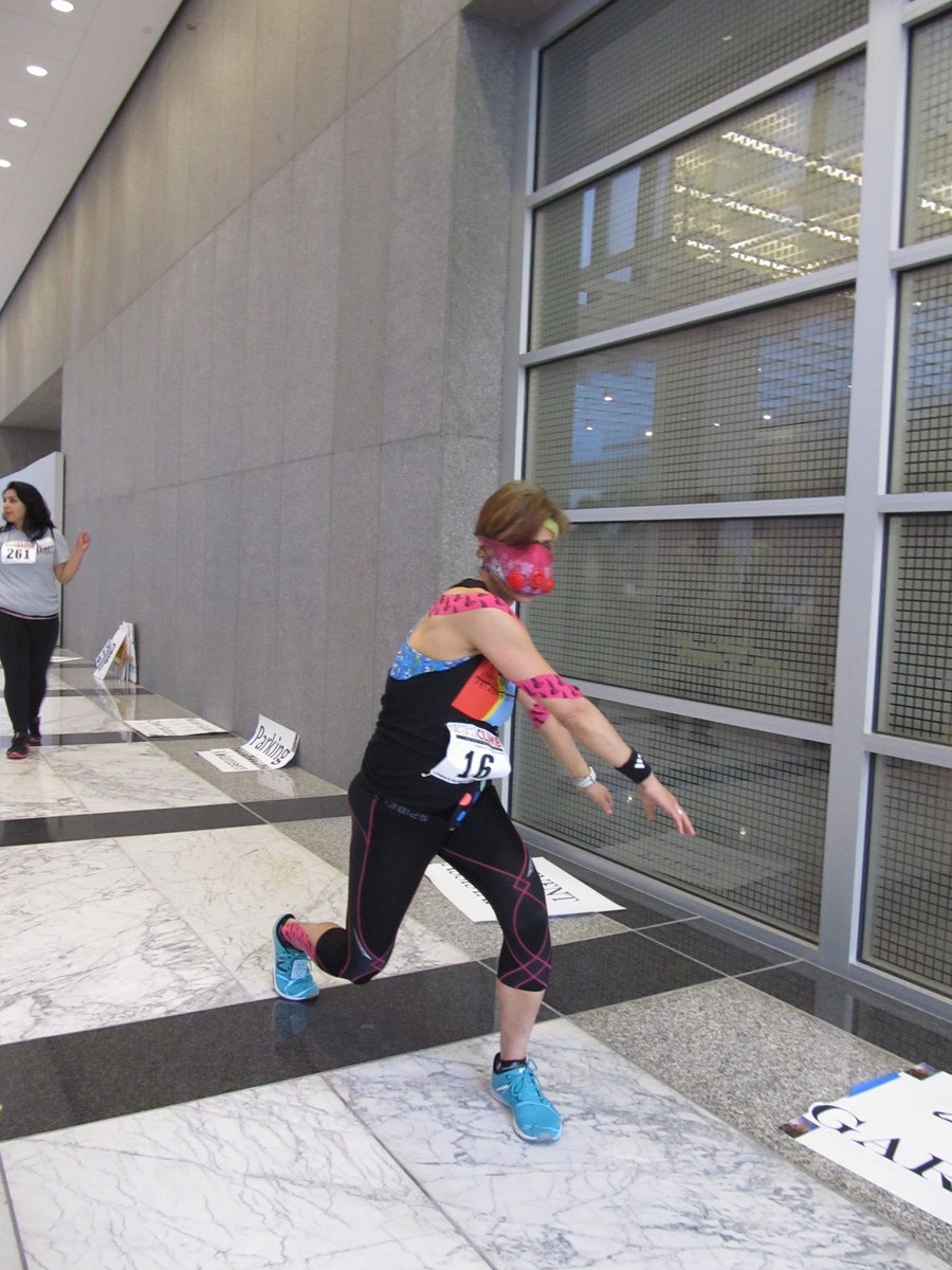
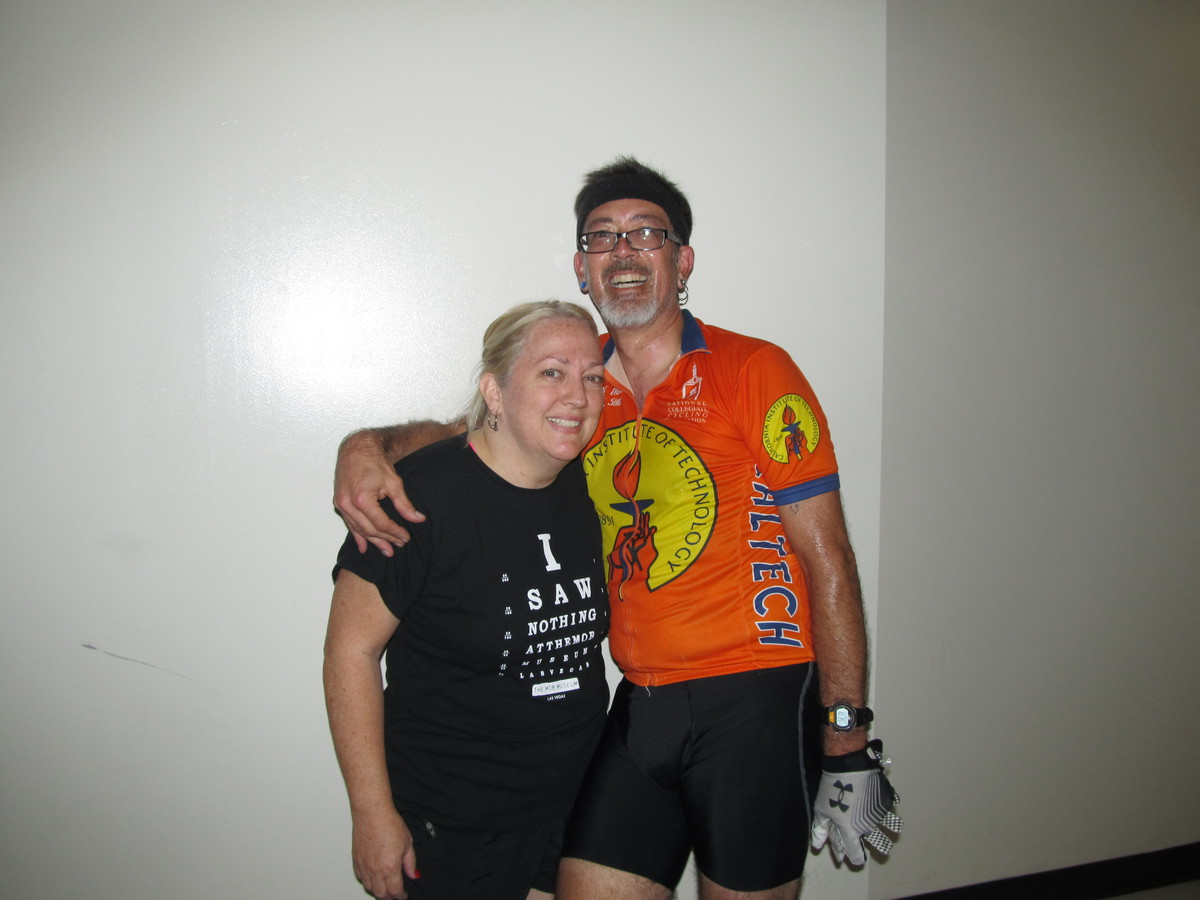
When we got there, Lisa was warming up in the lobby of the building, wearing an altitude-training mask. She said it’s supposed to restrict breathing just a bit to simulate the lower oxygen levels at high altitudes. Well, mostly, it made her look a bit like a Hannibal Lecter of the stairwell. Which I guess is a good thing.
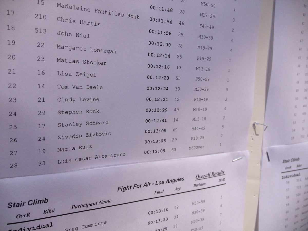
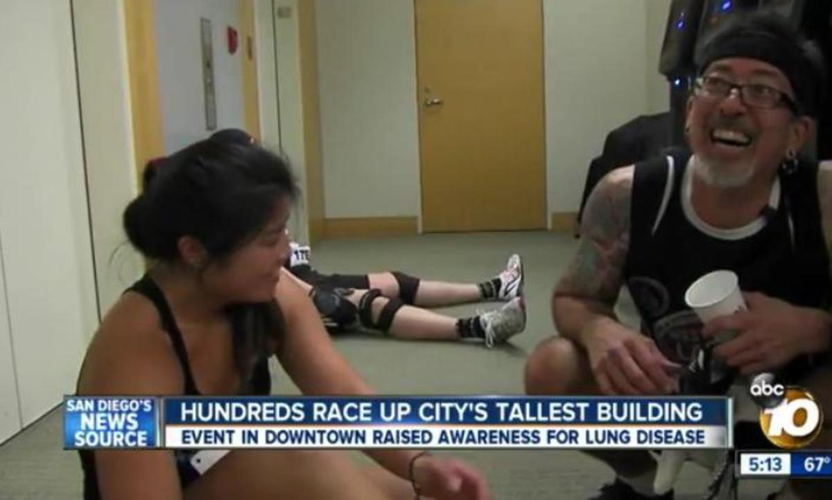
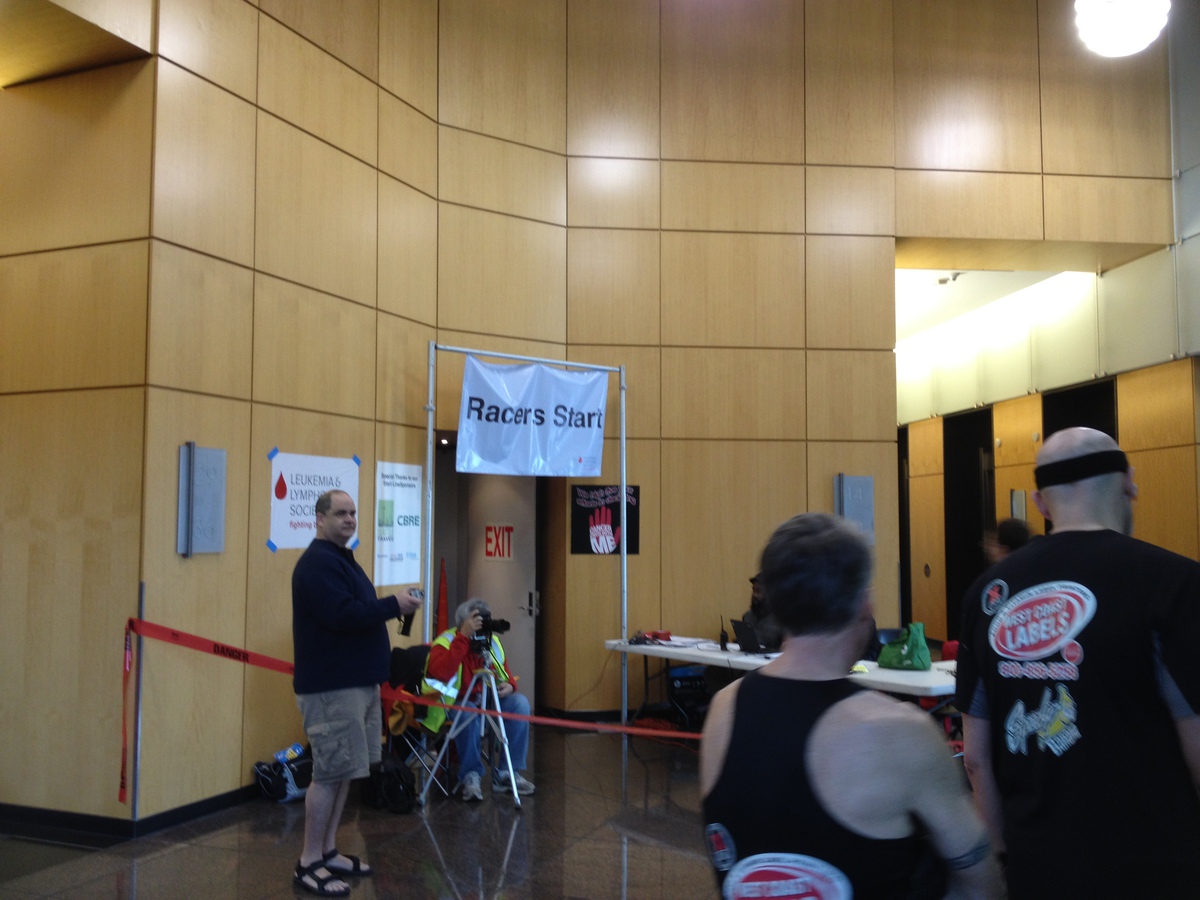
When it was time to go, we all lined up, roughly in numeric order, and roughly in the order we thought we’d finish in. My only goal at that time was that wanted to not have anyone pass me. And that worked out all right. I didn’t pass anyone, and nobody passed me. So that was all right. And in the end, my time was 12:41. Not especially fast, at least by my standards, but it was all right. It was faster than my time the first time I did this, and even though I was just taking it easy and not trying to go fast, there were only four people my age or older who went faster than me. So I really can’t complain too much about that.
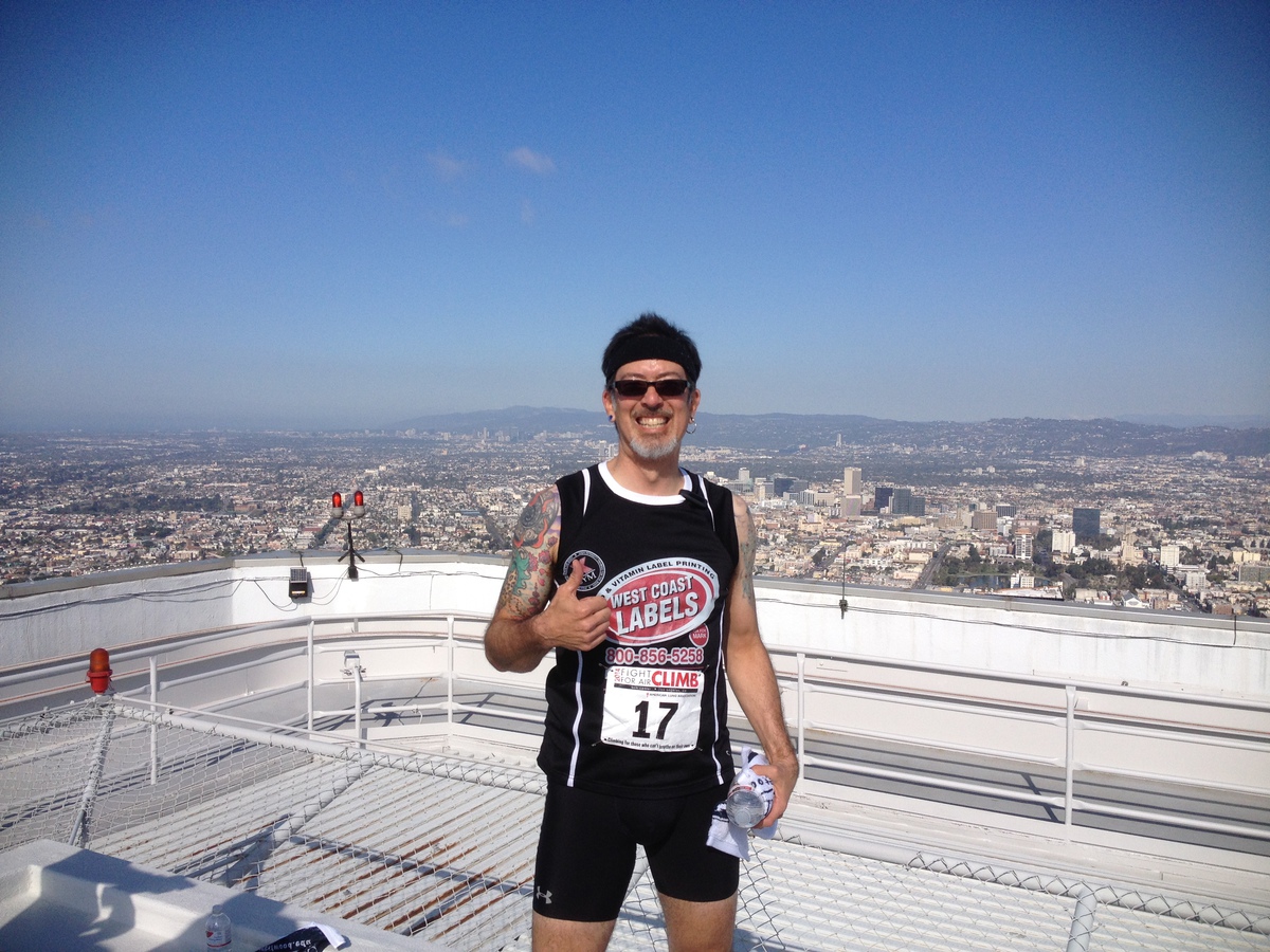
When I got to the top, I took the obligatory picture with the view. and then I headed back down. I knew that Morgan was on her way downtown, and I’d told her I’d walk up with her to pace her. So we met up at the bottom and got in line for the stairs.
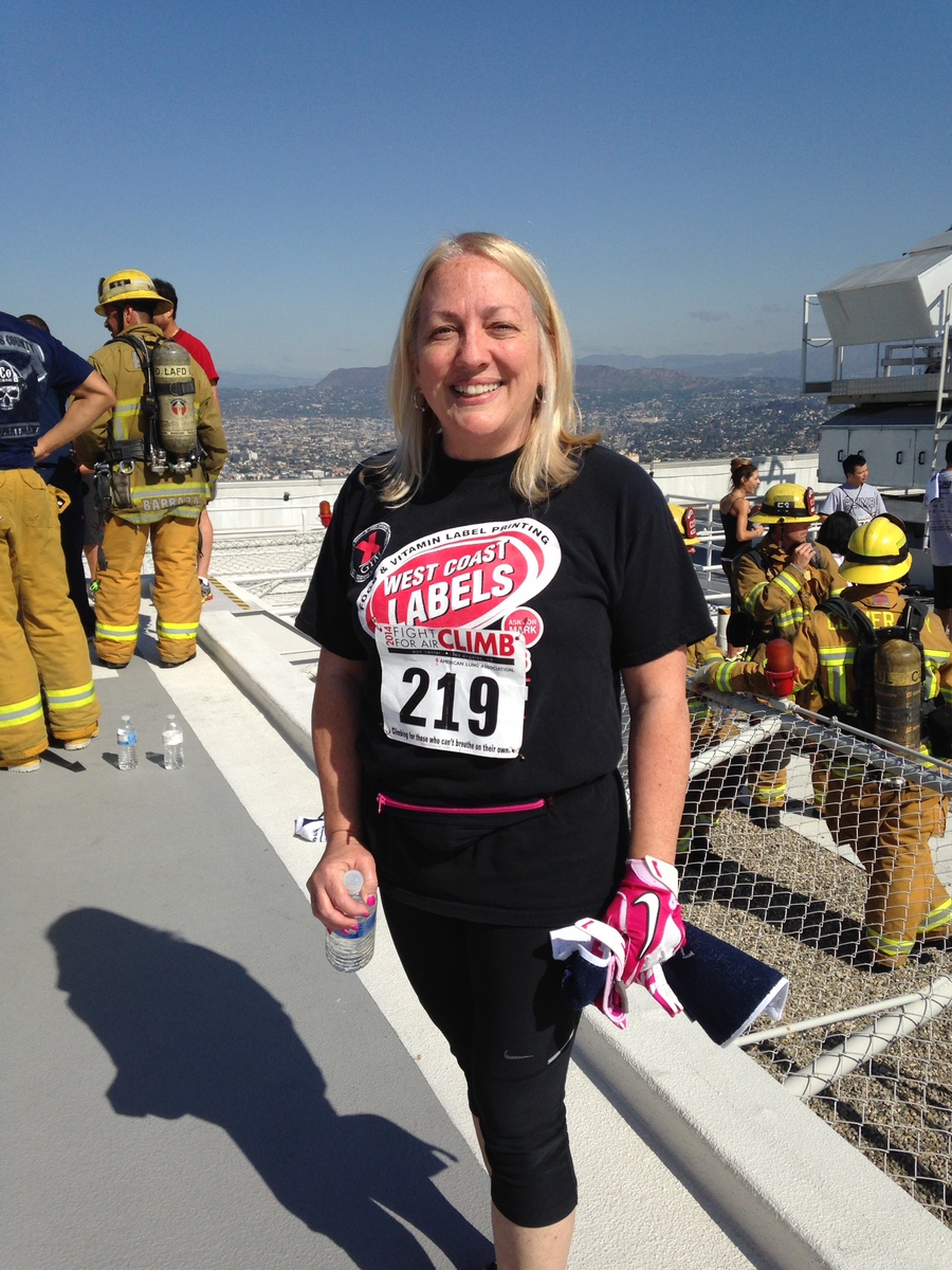
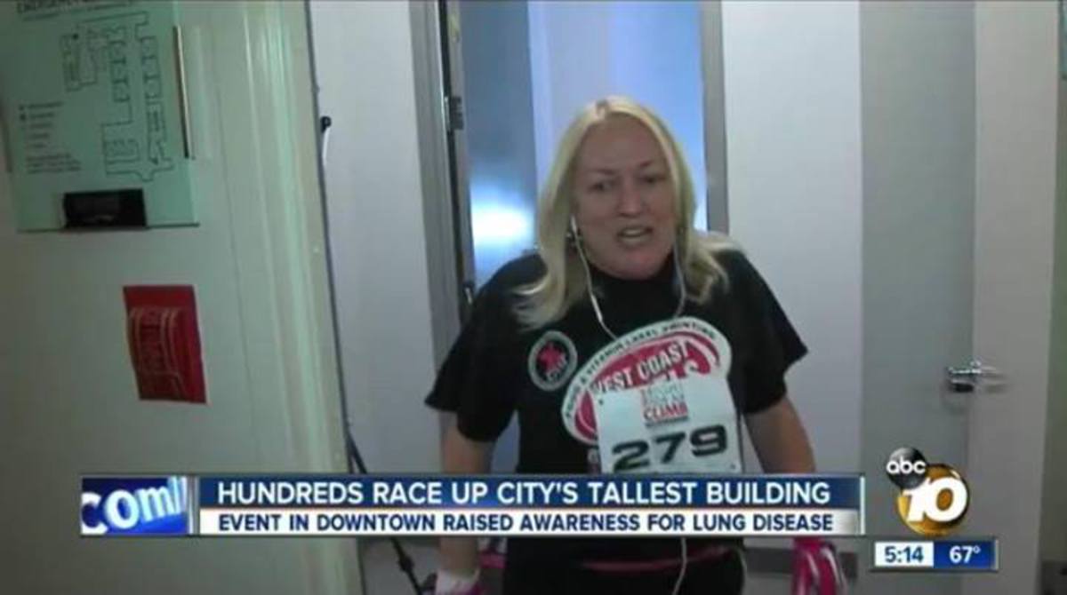
Meanwhile, Kathleen had started up the stairs just a bit behind me the first time, and she walked most of the way up with a group of firemen in their full regalia. She also got a picture with the view on top before heading back down.
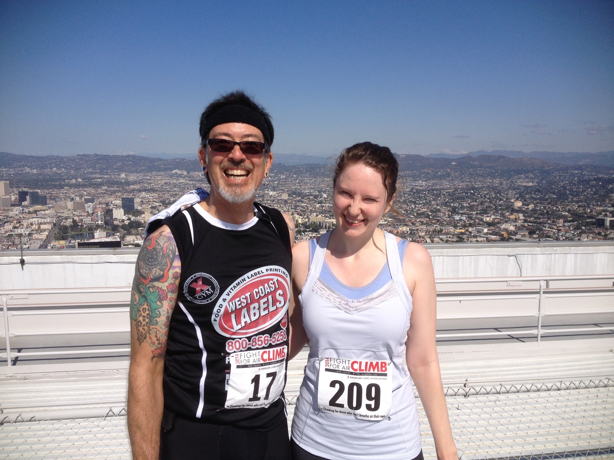
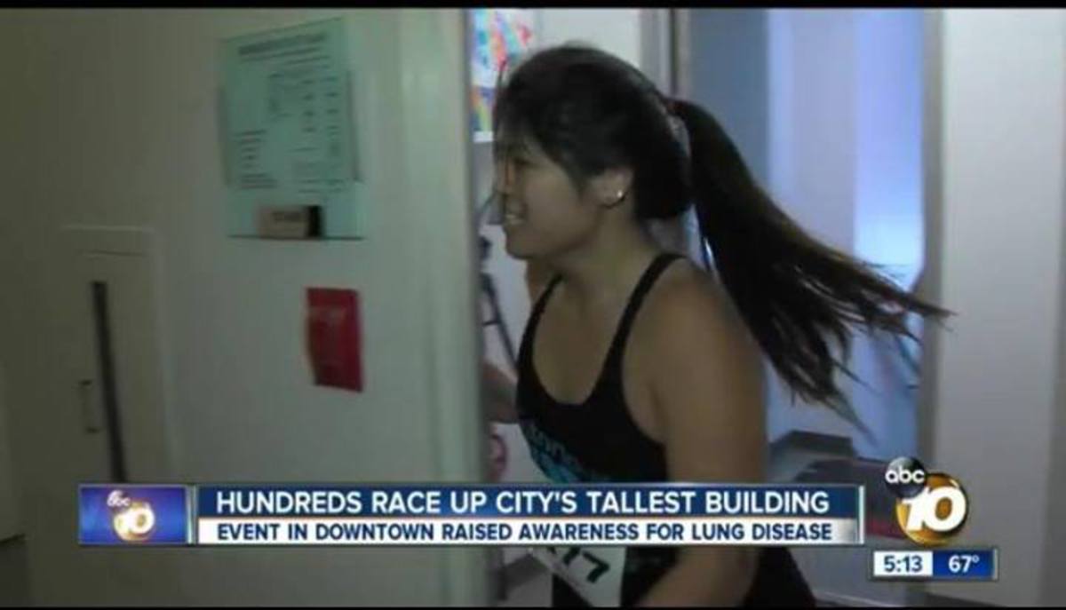
The second time up, I walked with Morgan. I tried to be an encouraging coach, and she did very well. She maintained a steady pace all the way up. We passed lots of people, and nobody passed us. A few times, we ran up against big groups of people who were hard to get through, and at least once, I had to go ahead to sort of plow a path through them so we could pass. And when we made it to the roof, Morgan realized she should have brought her sunglasses. Who thinks of bringing sunglasses along for a stair-climbing race? But that’s the difference between a Saturday morning in April and a Friday evening in September.
When they started posting the results, I saw that they’d made a typo, and they had me listed as being 14 years old. Hmm. I had to email the timing company after we got home to get that corrected.
All told, it was a pretty good time.


