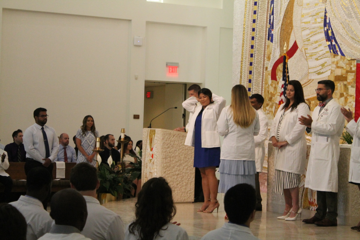
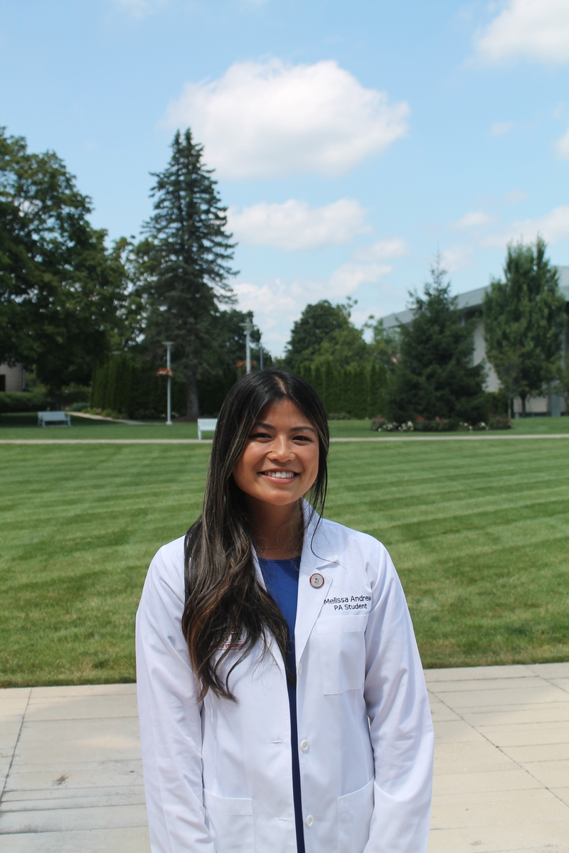
This summer’s big trip was a visit to the East Coast. First, to Stamford, Connecticut, where Melissa is having her White Coat Ceremony. In the Physician Assistant program, this marks the end of the first year of classroom instruction, and the beginning of about a year and half of real-world experience with doctors and patients. It’s a Big Deal.
We started out our day at LAX, which is generally not the way one wants to start any particular day. And today was a brilliant example of that, since when we got there, we quickly found out that our 9:30AM flight had been delayed until 3:15PM. Fortunately, I’d come prepared with my MacBook and a few movies. So we watched “Pandas” and “Long Shot” while sitting in the terminal at LAX.
We finally got underway at just a bit after 3:00, finally getting to JFK at about 11:45PM. The plan had been to take the train to Stamford, but because we were getting in so late, Melissa was able to drive into the city to pick us up.
In the morning, we all headed up to Sacred Heart for the ceremony. It was nice, and the 39 students all looked very pleased.
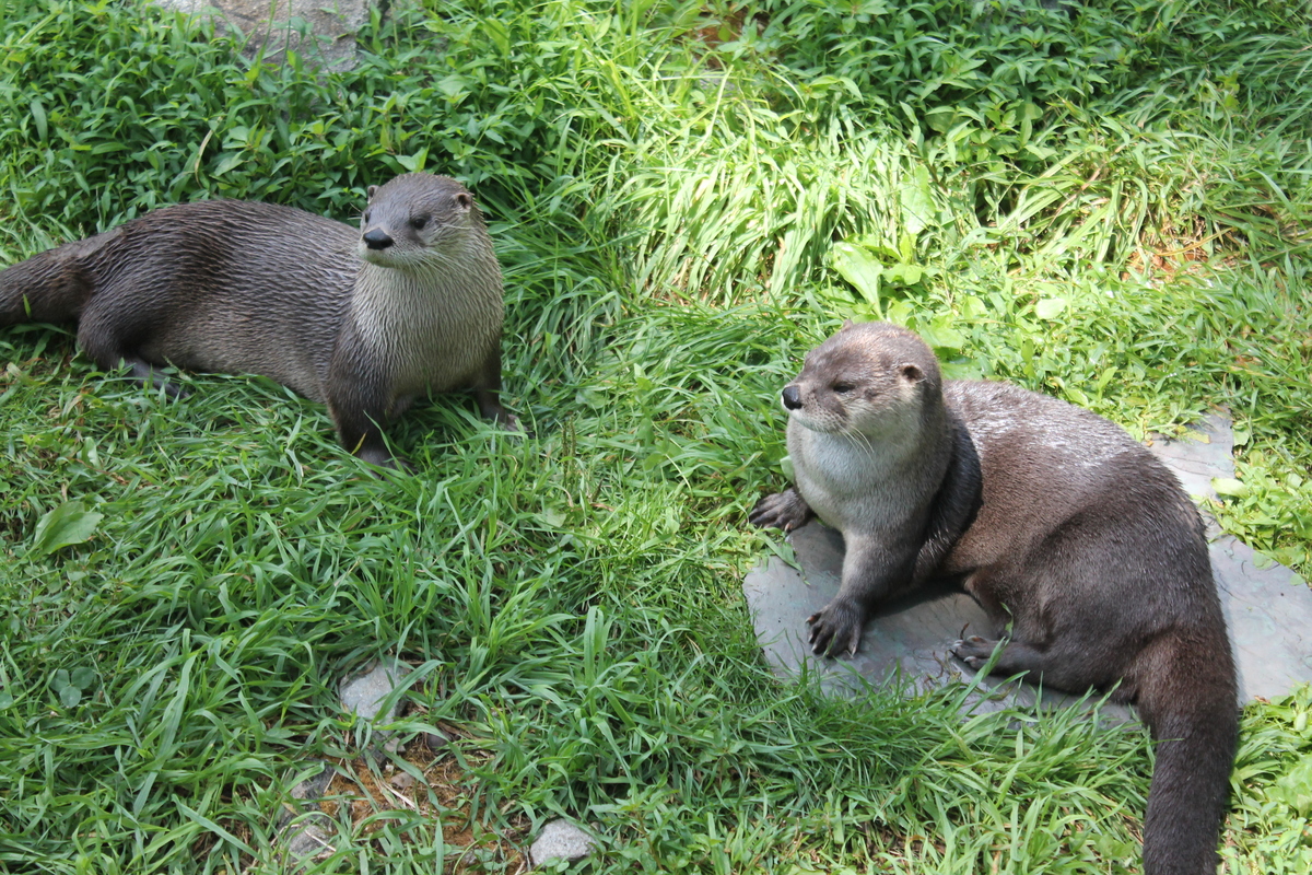
The next day, we played tourist a bit around Stamford. We went to the Stamford Nature Center. We got to see feeding time for the little river otters.
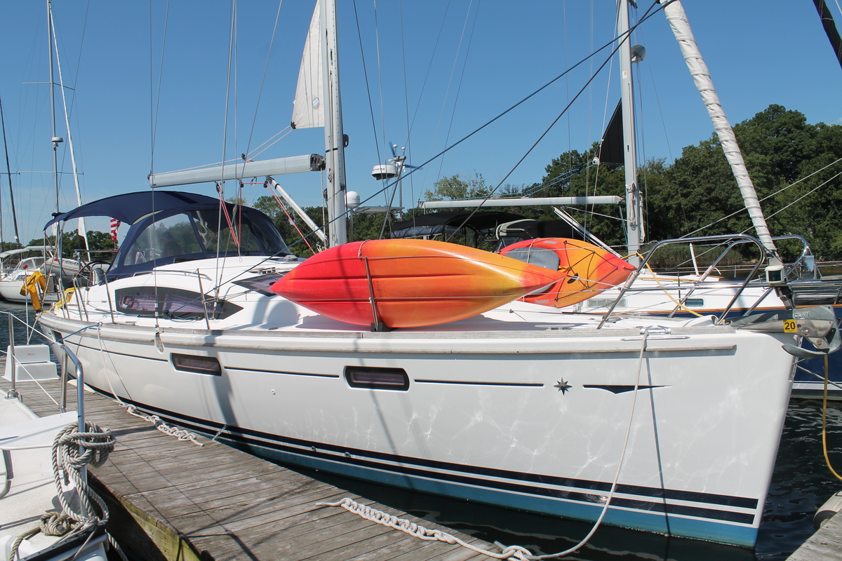
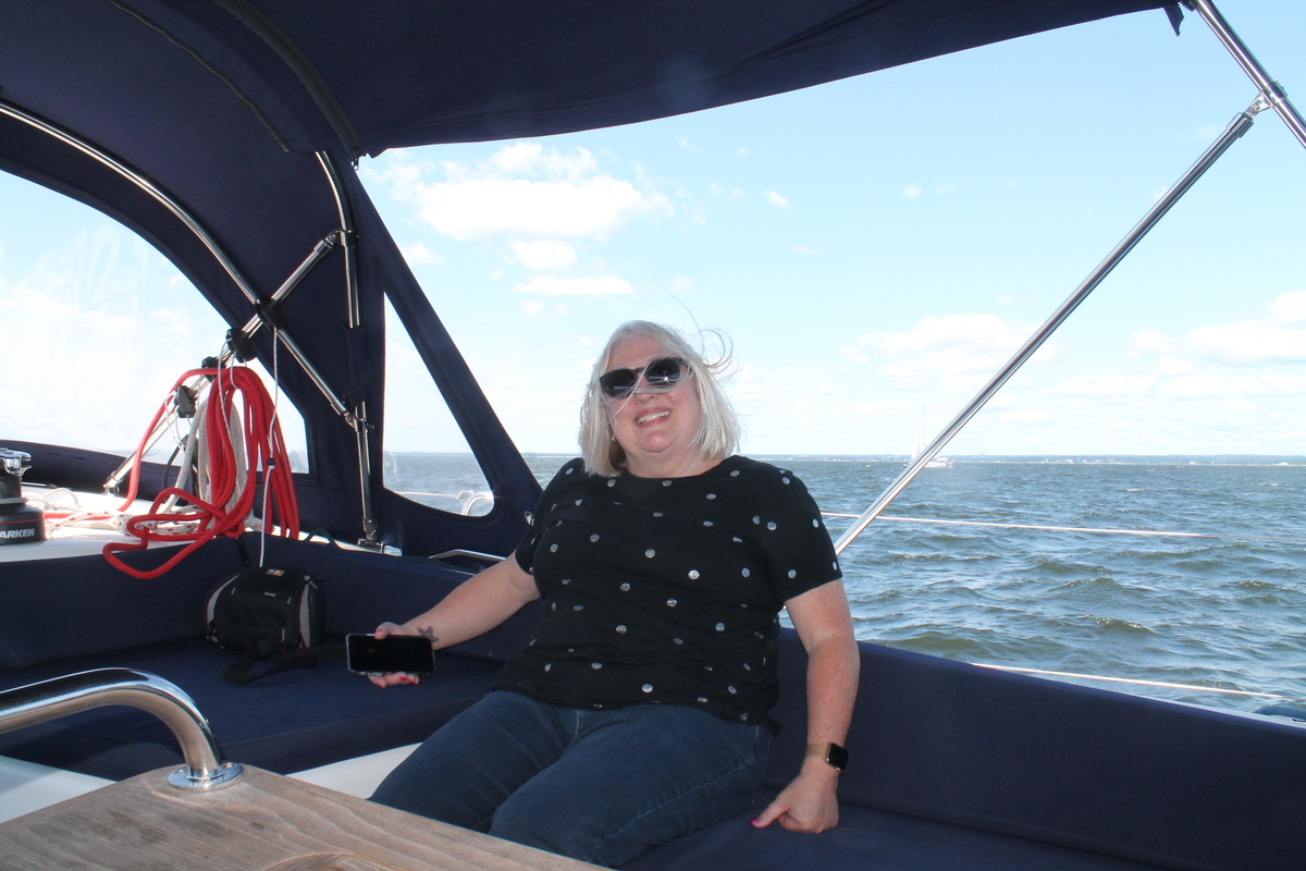
The original plan was to take the train to New York after the Nature Center, but I had contacted my old high school friend Steve to see about when we’d be able to get together. And it turned out that not only does Steve have a very nice boat, he keeps it at a marina in Stamford, just a half-mile from the hotel where we were staying. So we arranged to stay one more night in Stamford, and then we went sailing with Steve on Saturday. That was a nice and unexpected treat.
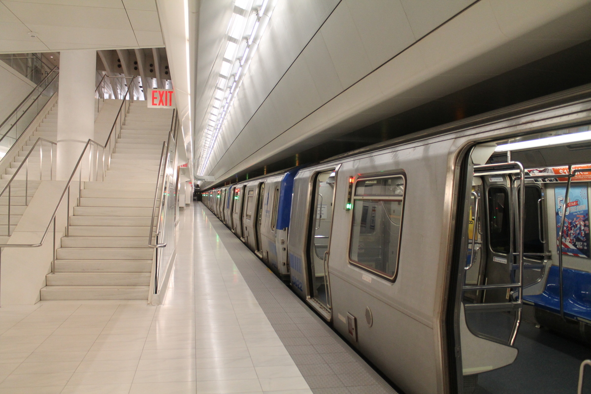
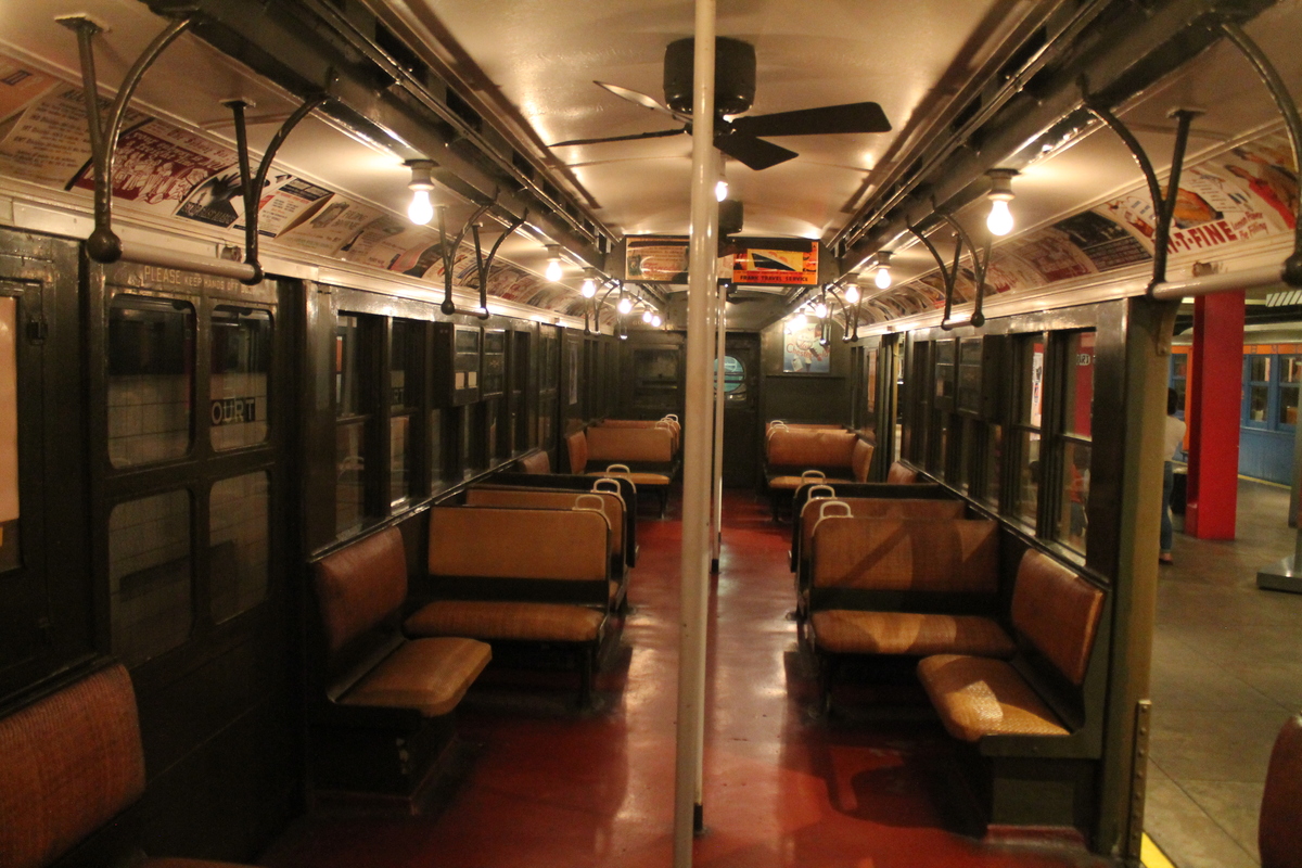
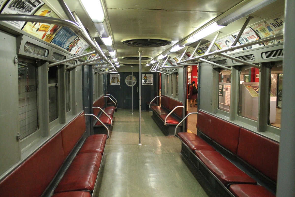
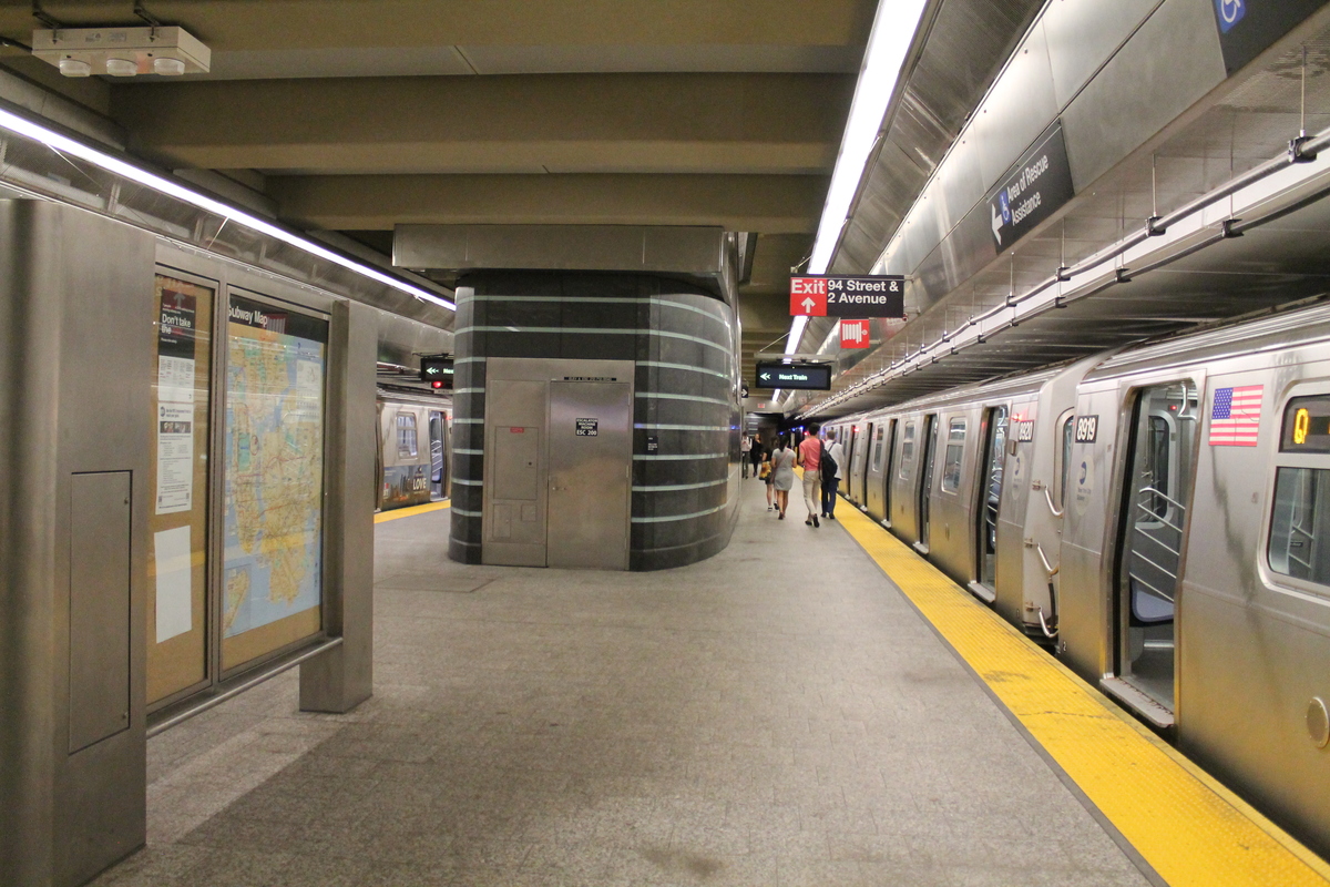
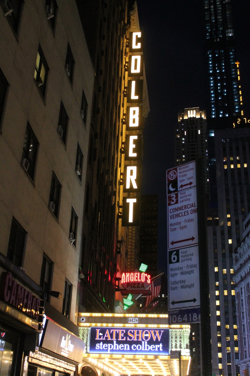
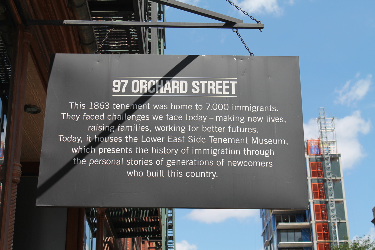
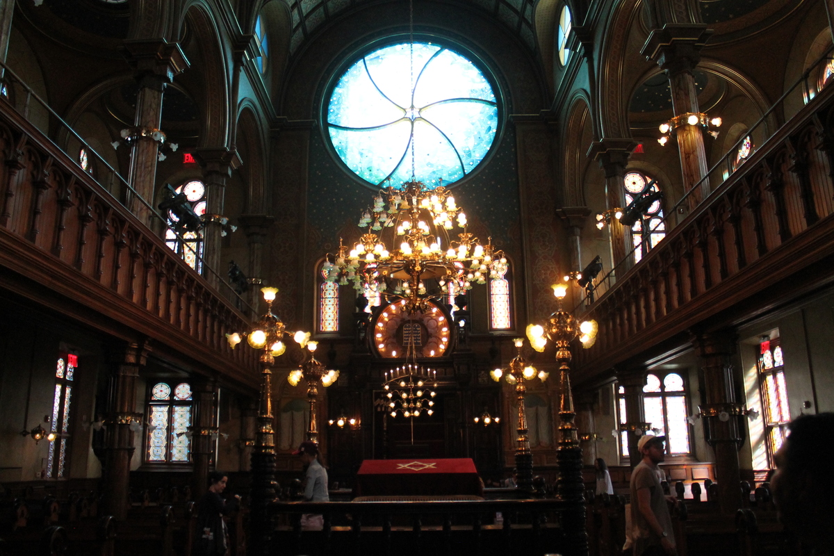
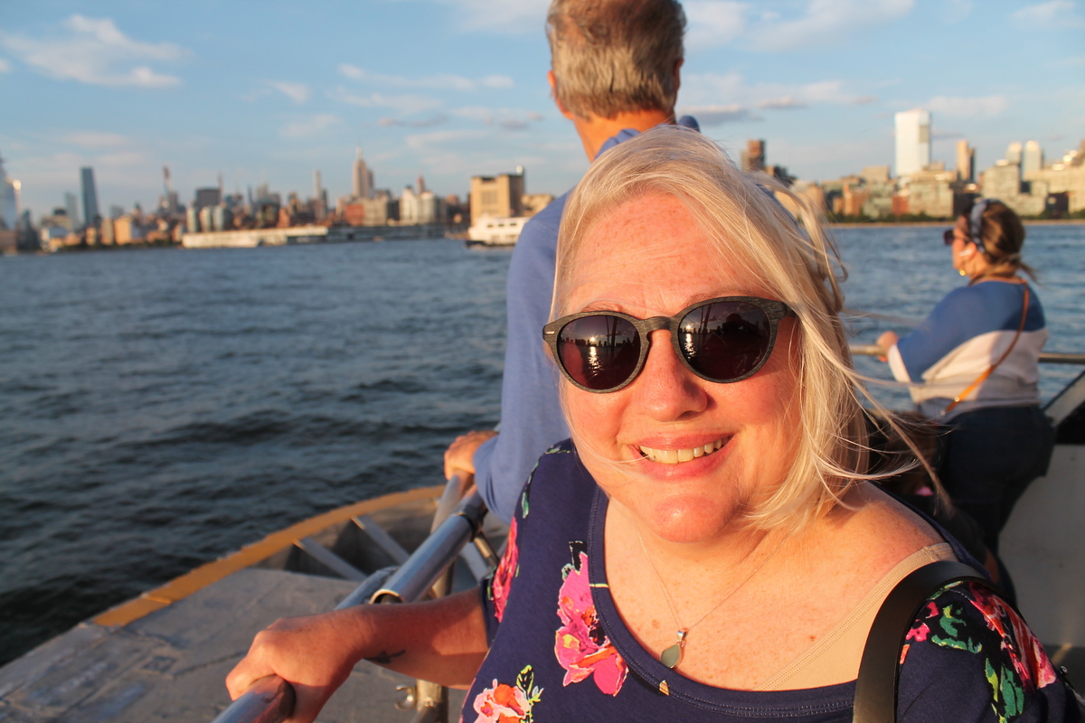
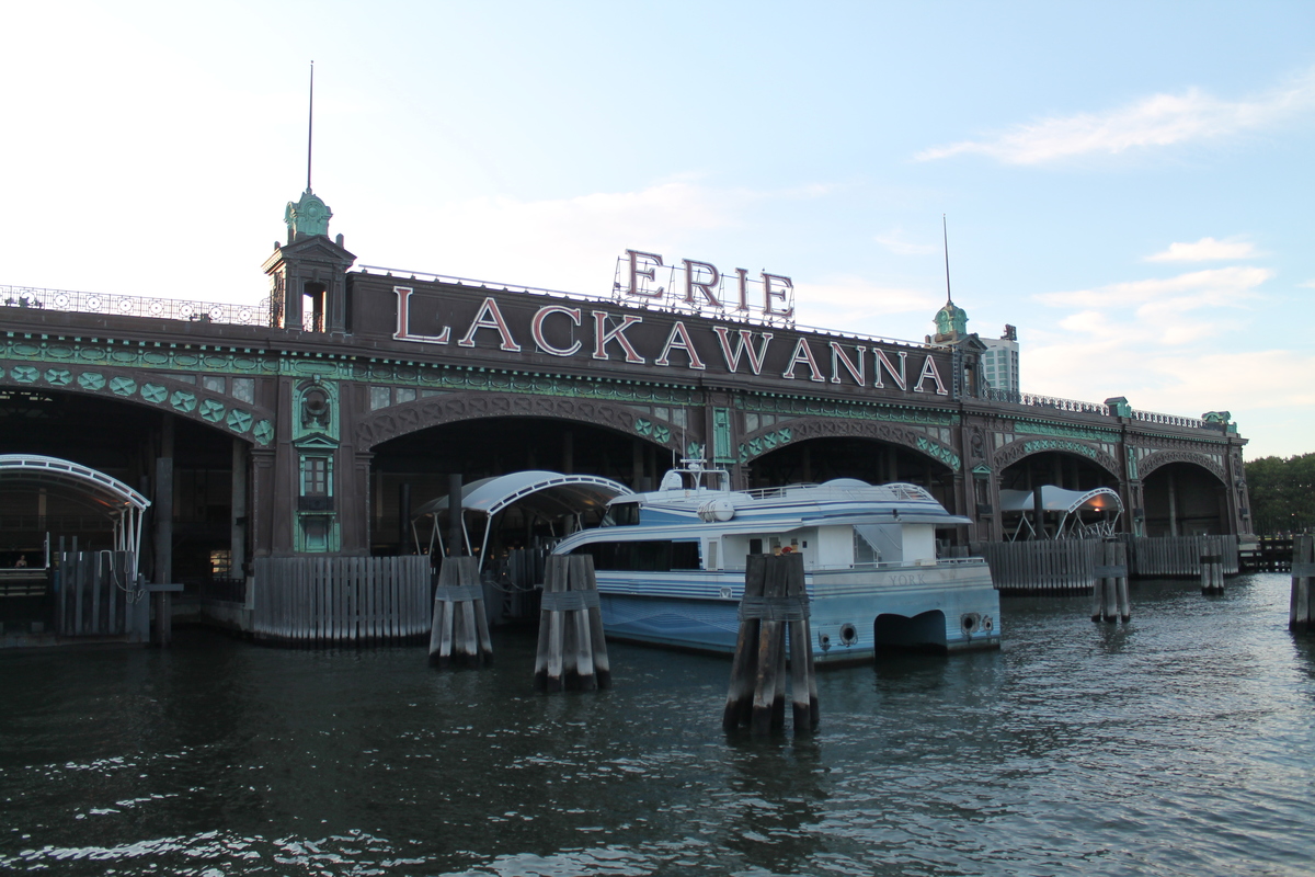
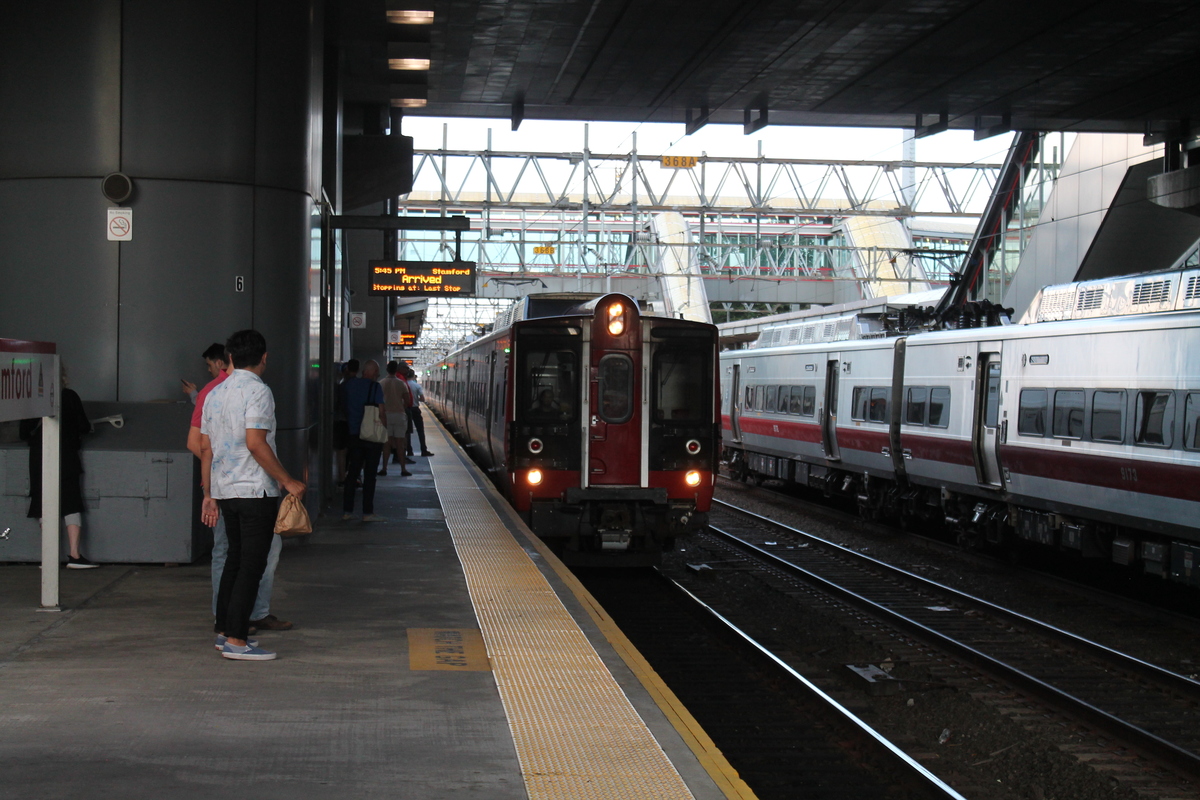
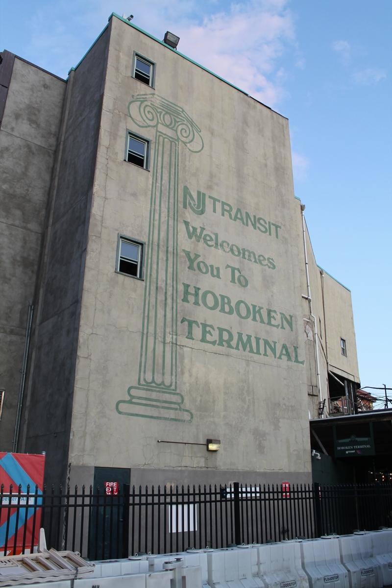
After sailing, we rode the train into New York. The, two subways and a PATH train later, we came out in Hoboken to visit with my old friend Gordon.
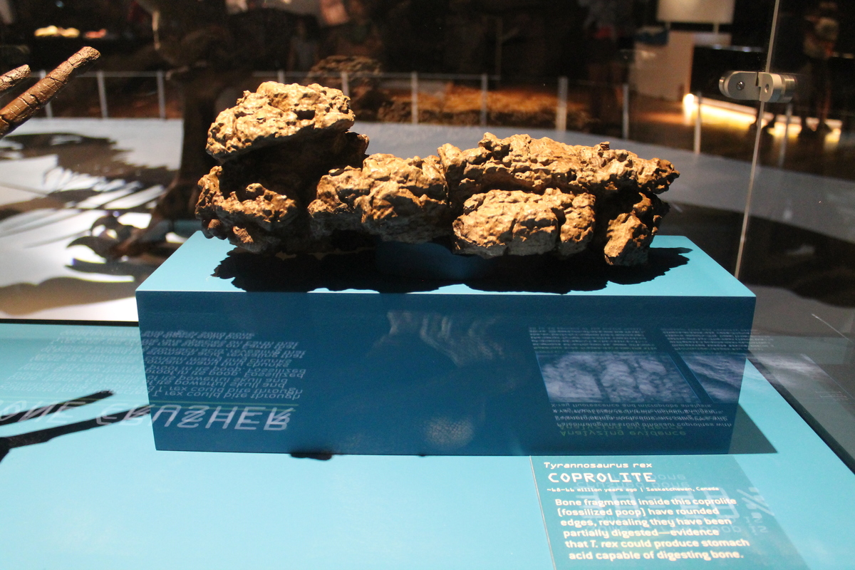
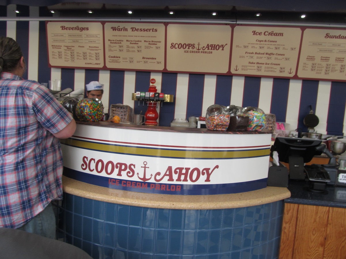
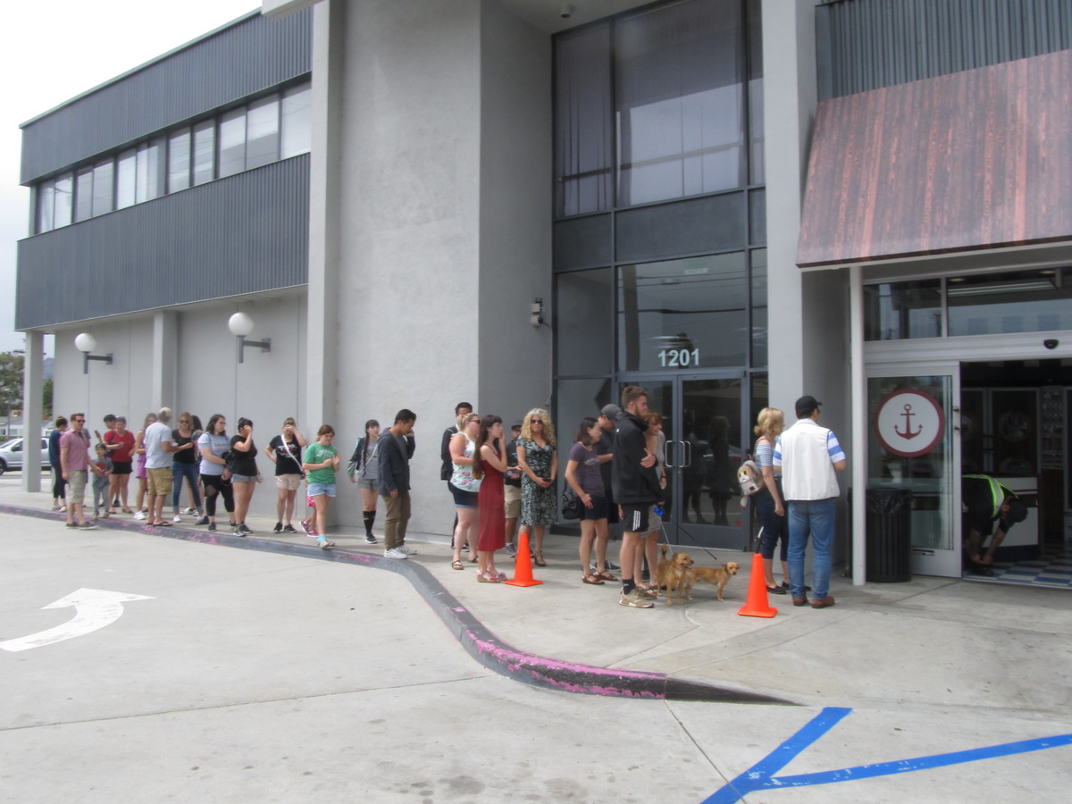
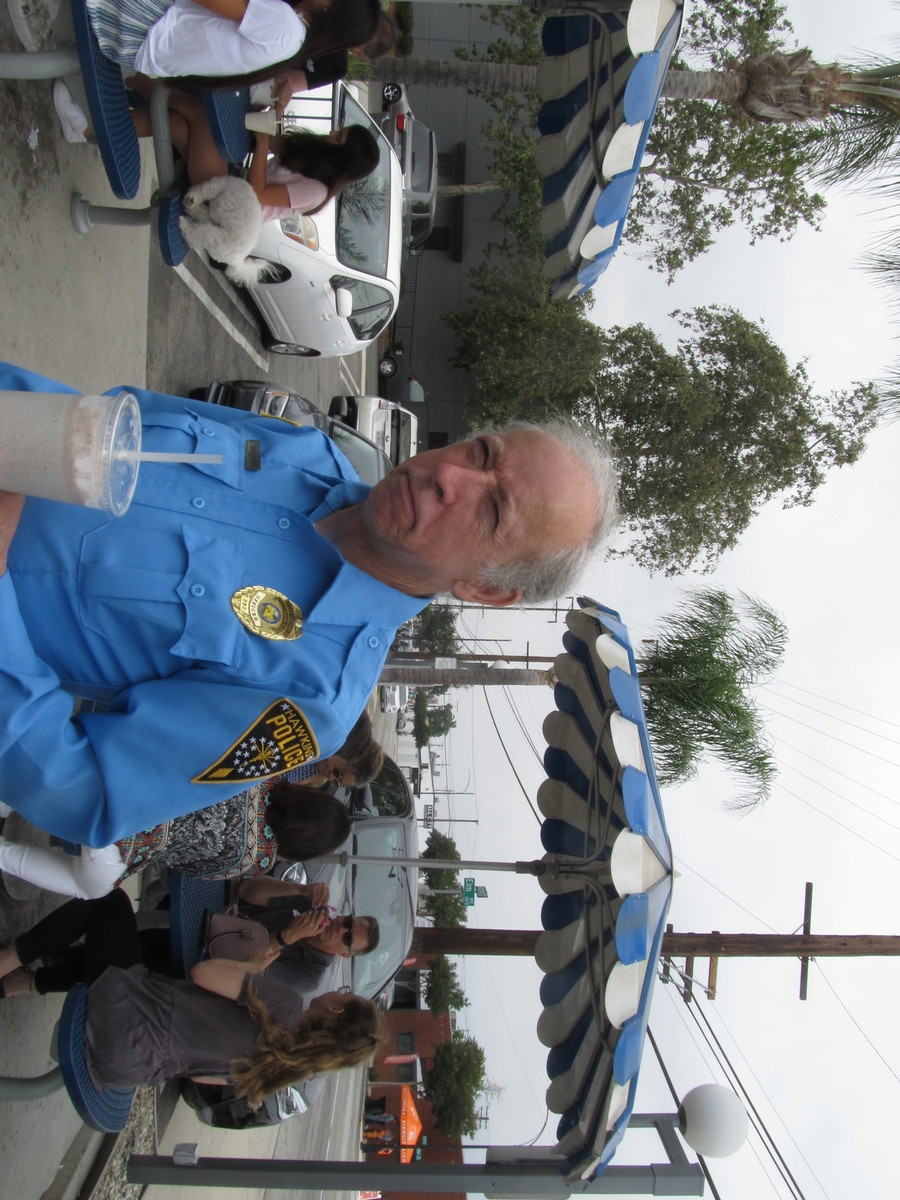
So far, it’s a pretty fun trip.