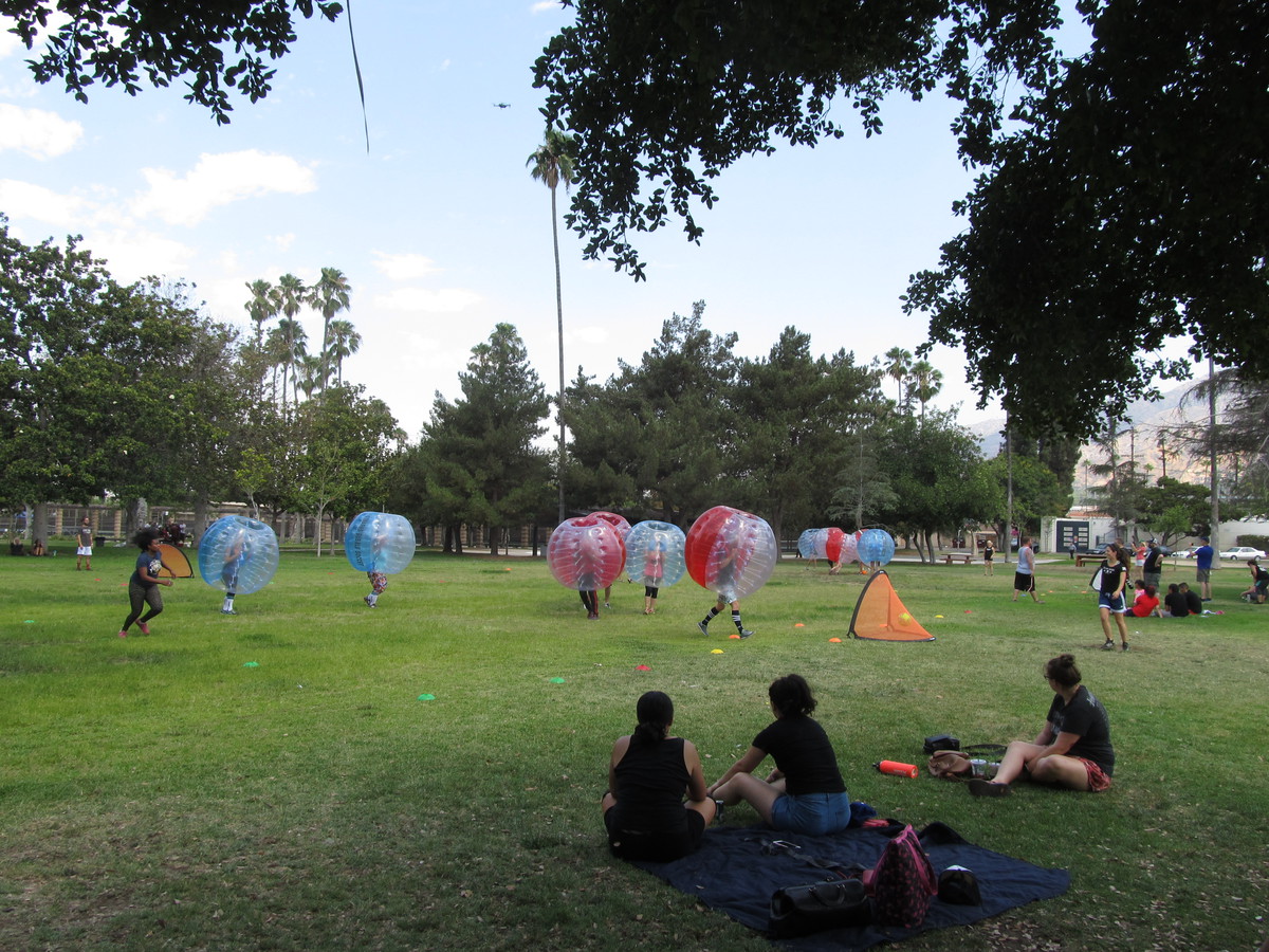
Bubble soccer with the Derby Dolls
 |
 |
 |
 |
 |
 |
 |
 |
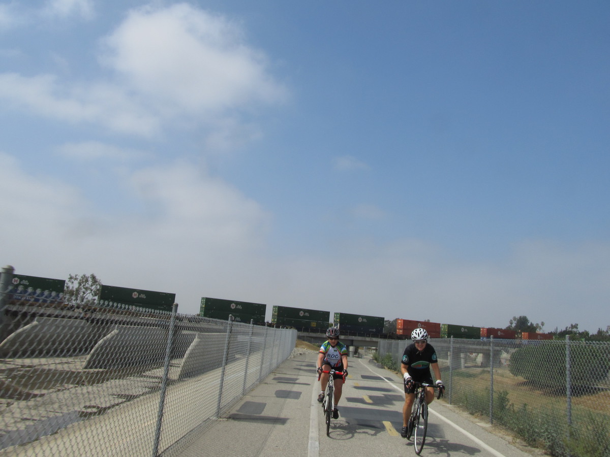
It’s been a while since we’ve been to see the Derby Dolls, but I’m still on their mailing list. So when I saw that they were doing a fundraiser this Sunday where they would be playing Bubble Soccer, I thought this would be a fun thing to go see on the bike club ride.
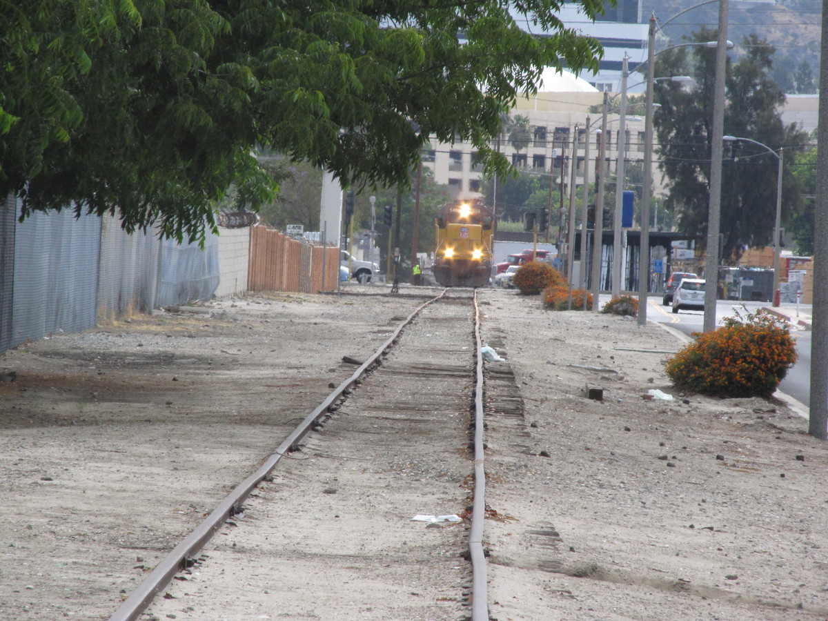
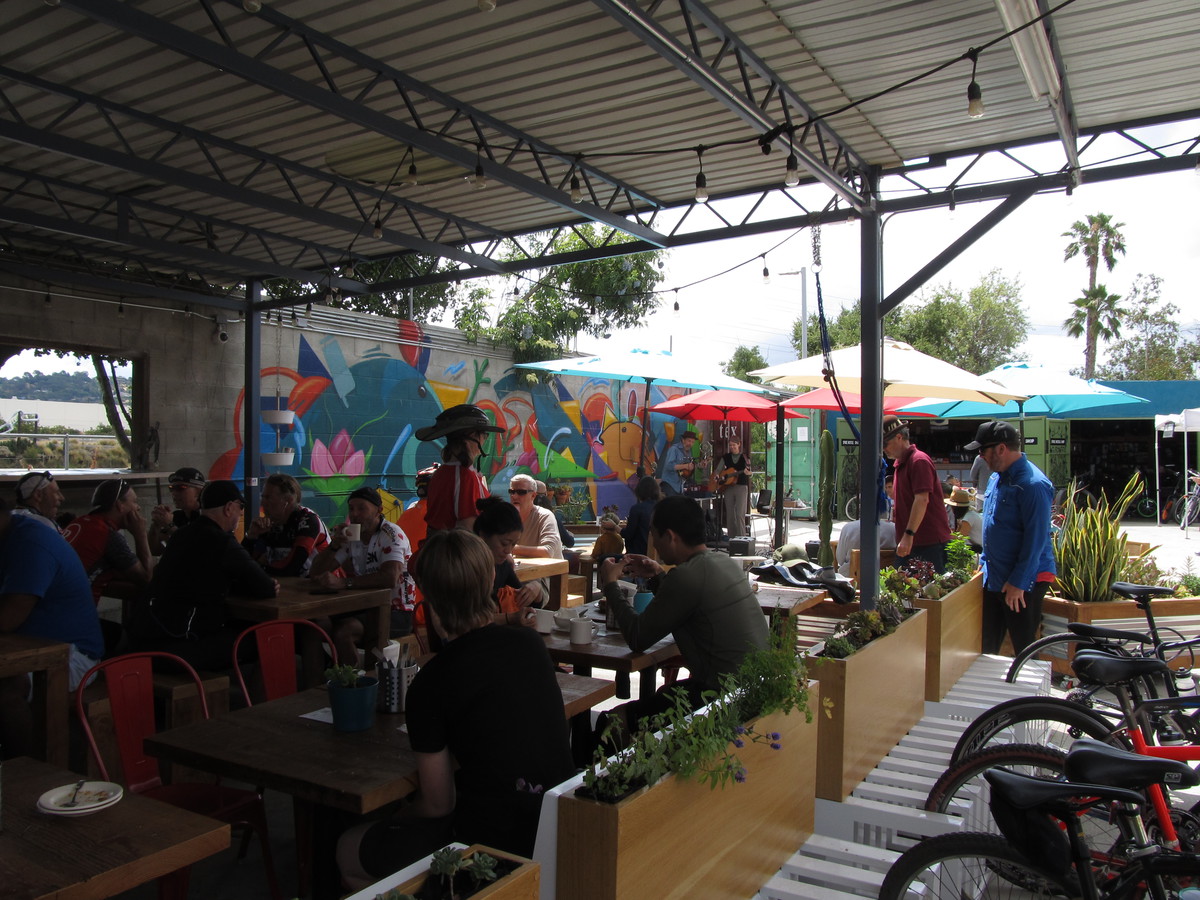
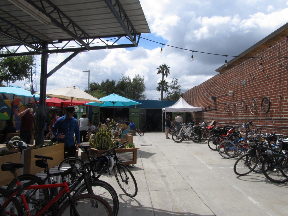
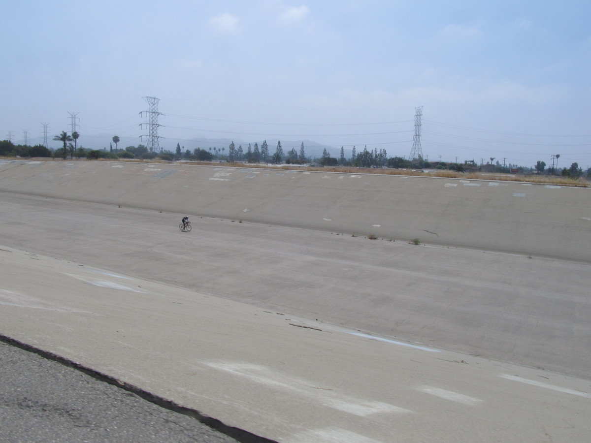
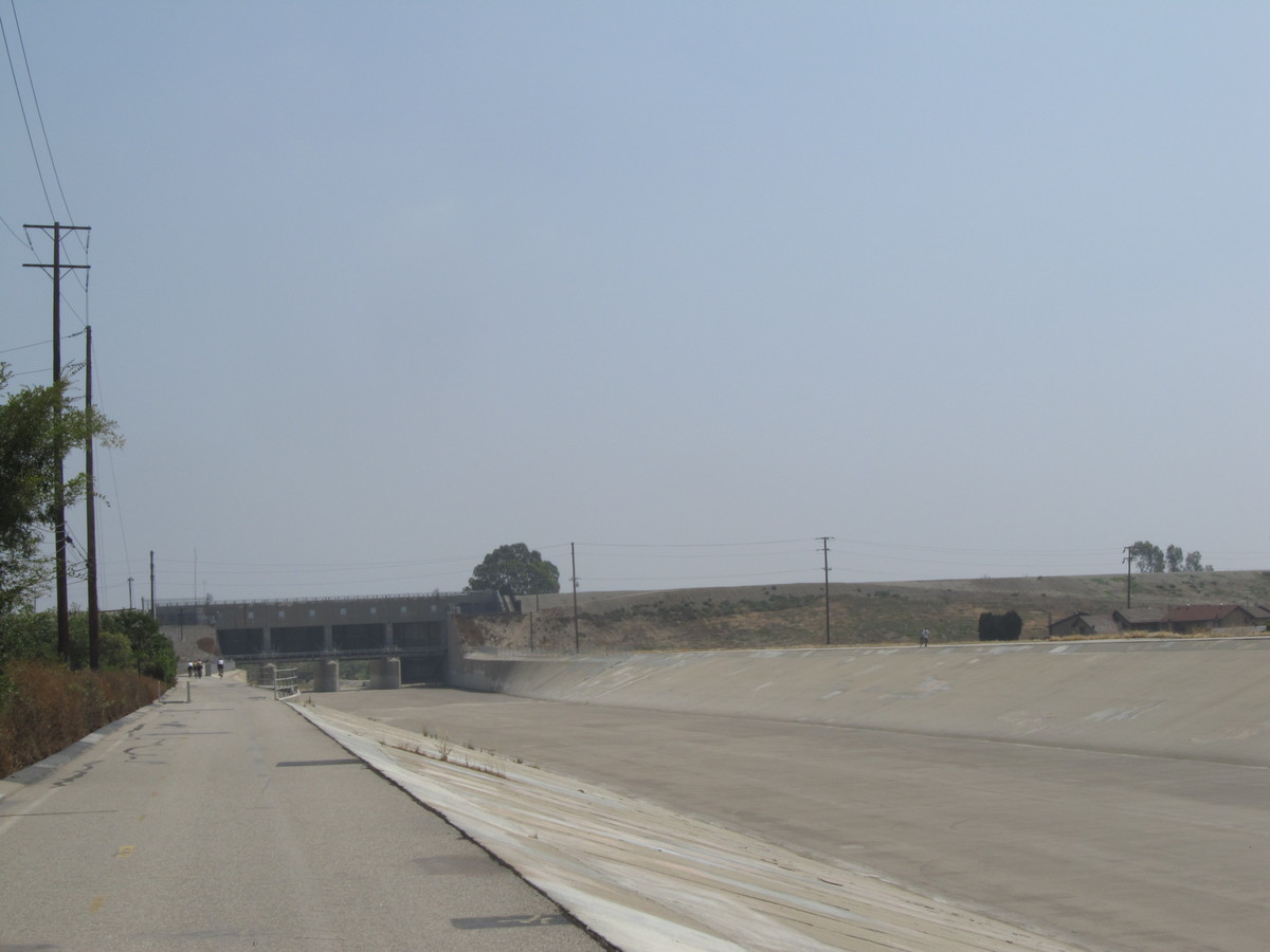
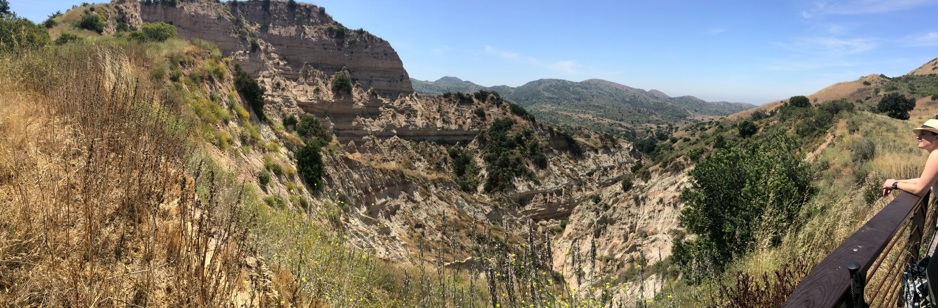
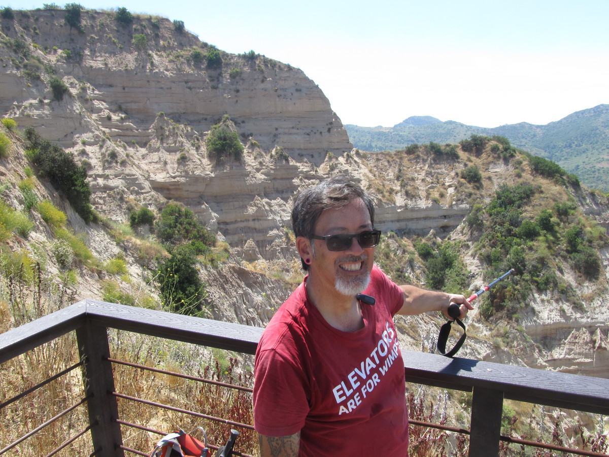
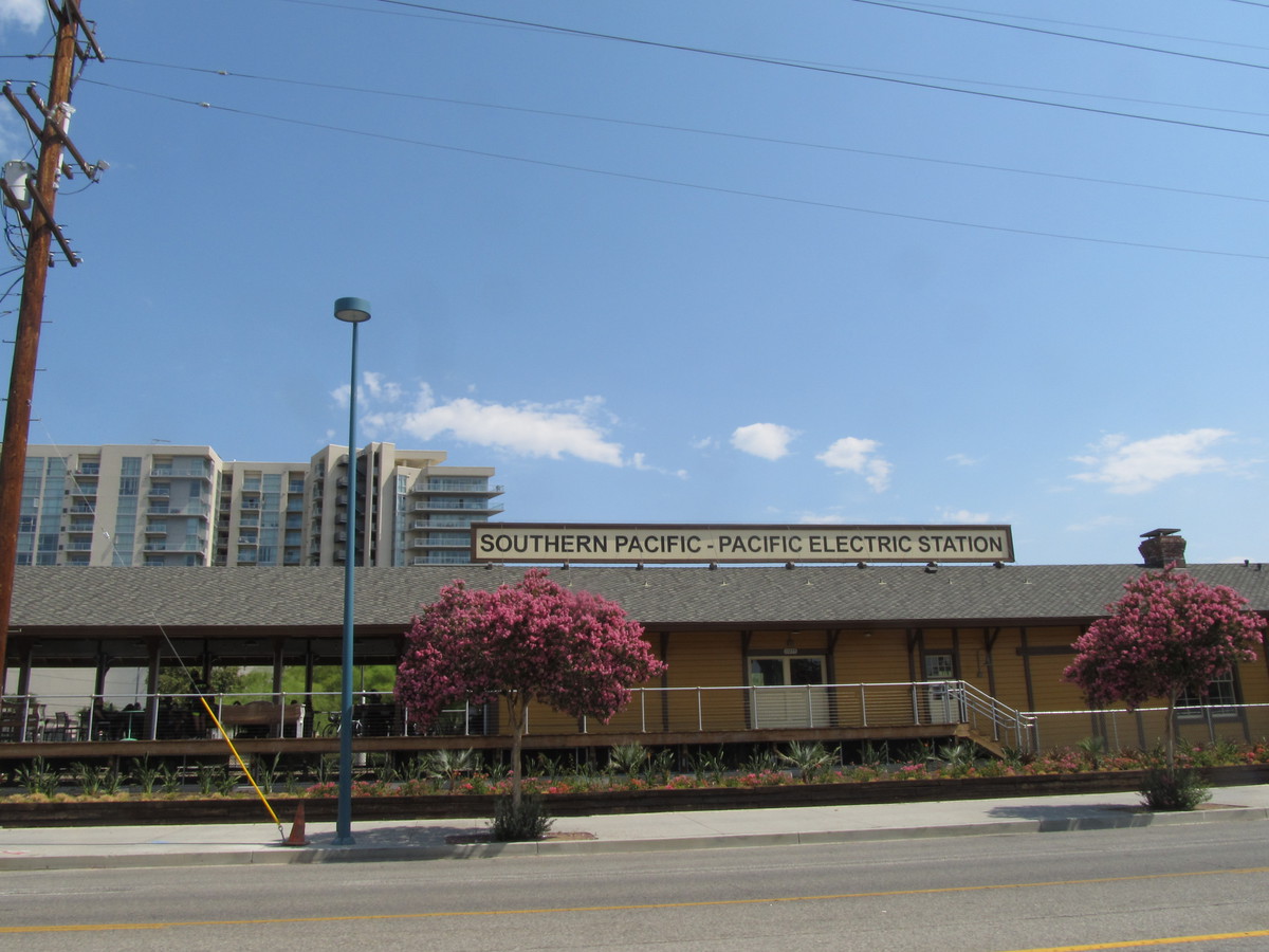
The park where they were playing is not really very far away, so we took a roundabout route to get there, going down to Atwater Village, over the L.A. River, and then up the river bike path and making a big loop through Studio City and North Hollywood. We stopped for drinks at Groundwork Coffee at the old Pacific Electric depot in North Hollywood. Then we rode back across Burbank and into Glendale to the park where they were doing the bubble soccer.
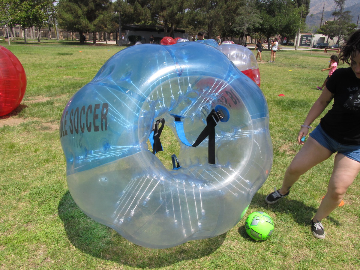
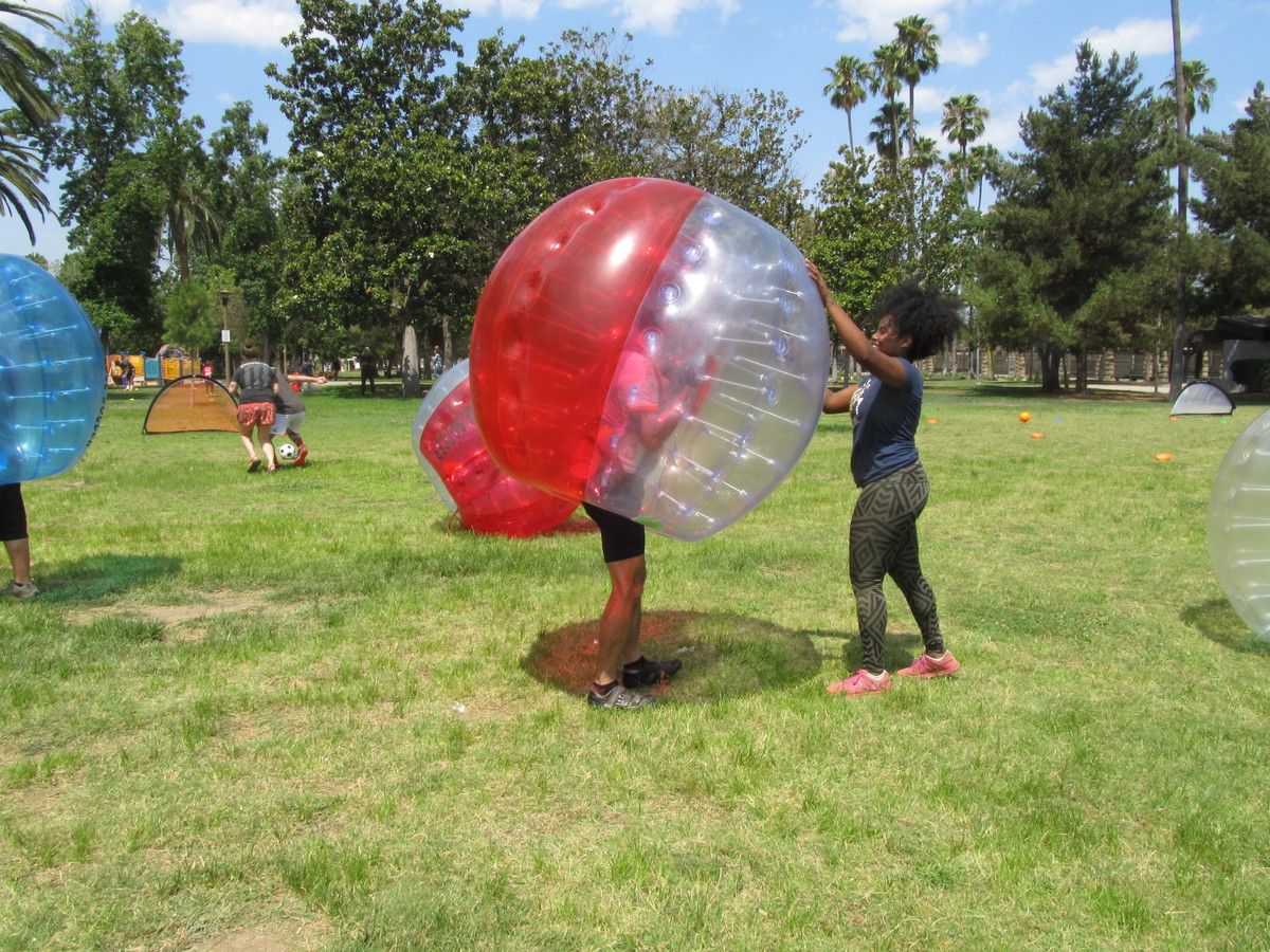
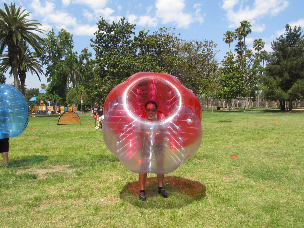
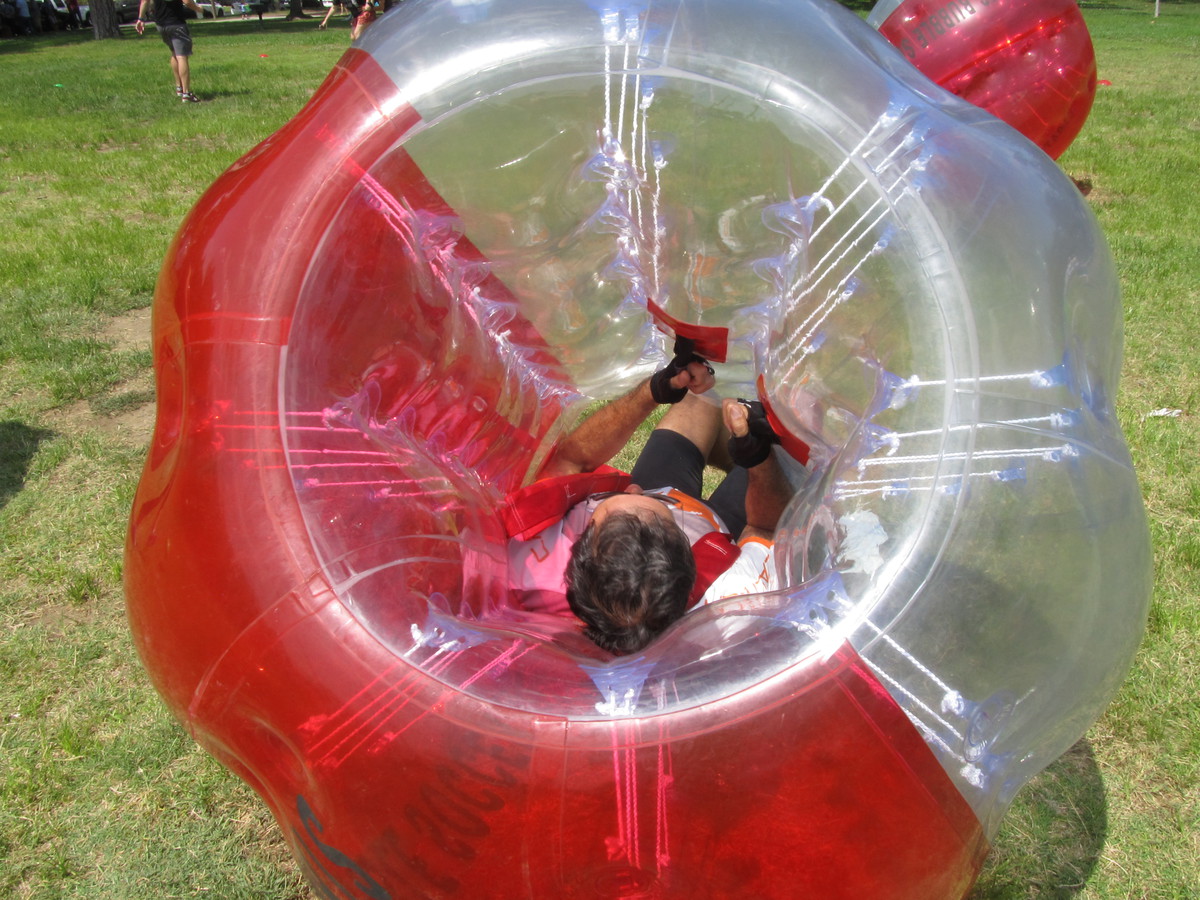
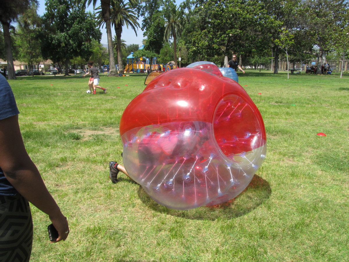
When we got there, there were two matches in progress, although the proceedings bore only a passing resemblance to soccer as we know it. But there was lots of running around and colliding and general hilarity. Besides, roller derby players are no strangers to colliding with each other. When the matches finished, one of the Dolls asked if I wanted to try on one of the bubbles to see what it was like. She helped me in to it, and then promptly body-slammed me so that I went rolling across the grass. And yes, it was pretty hilarious.
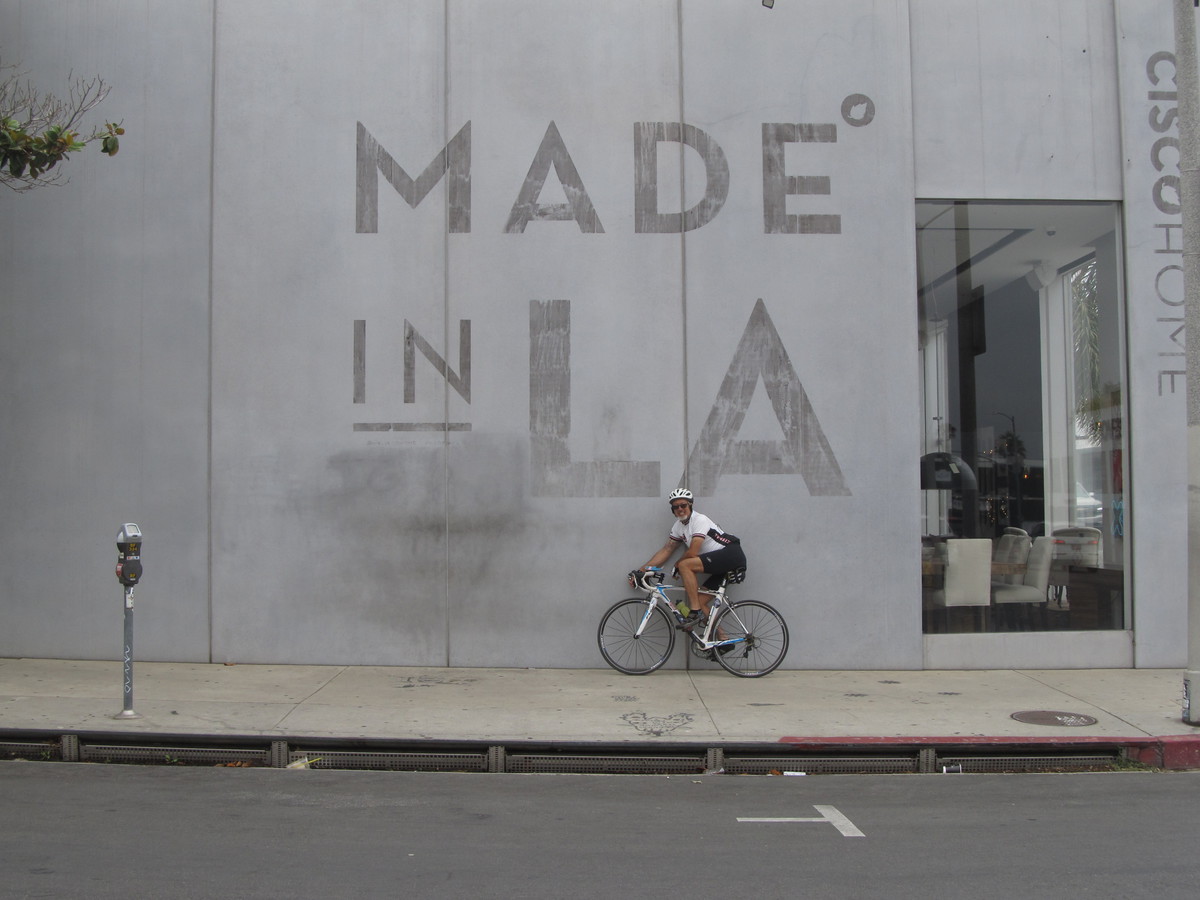
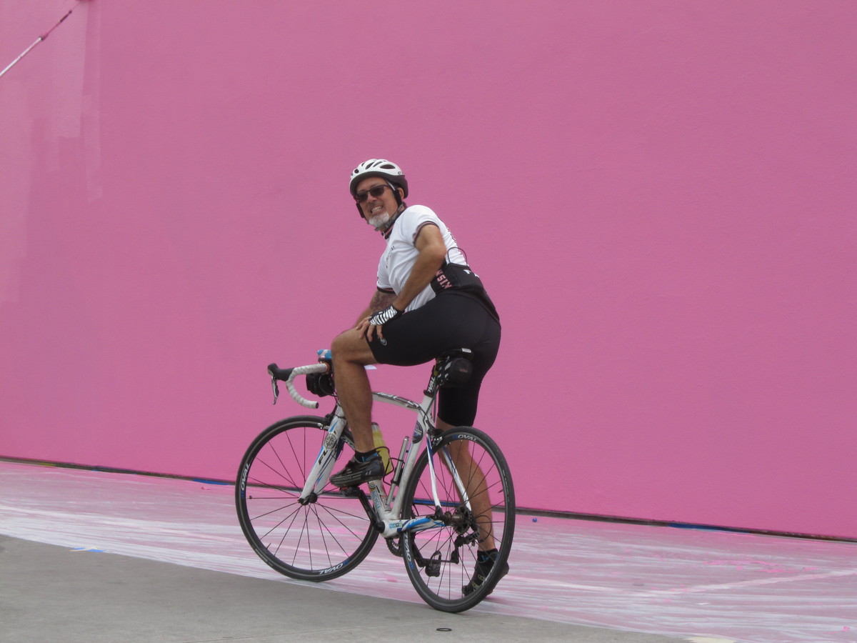
45 miles.