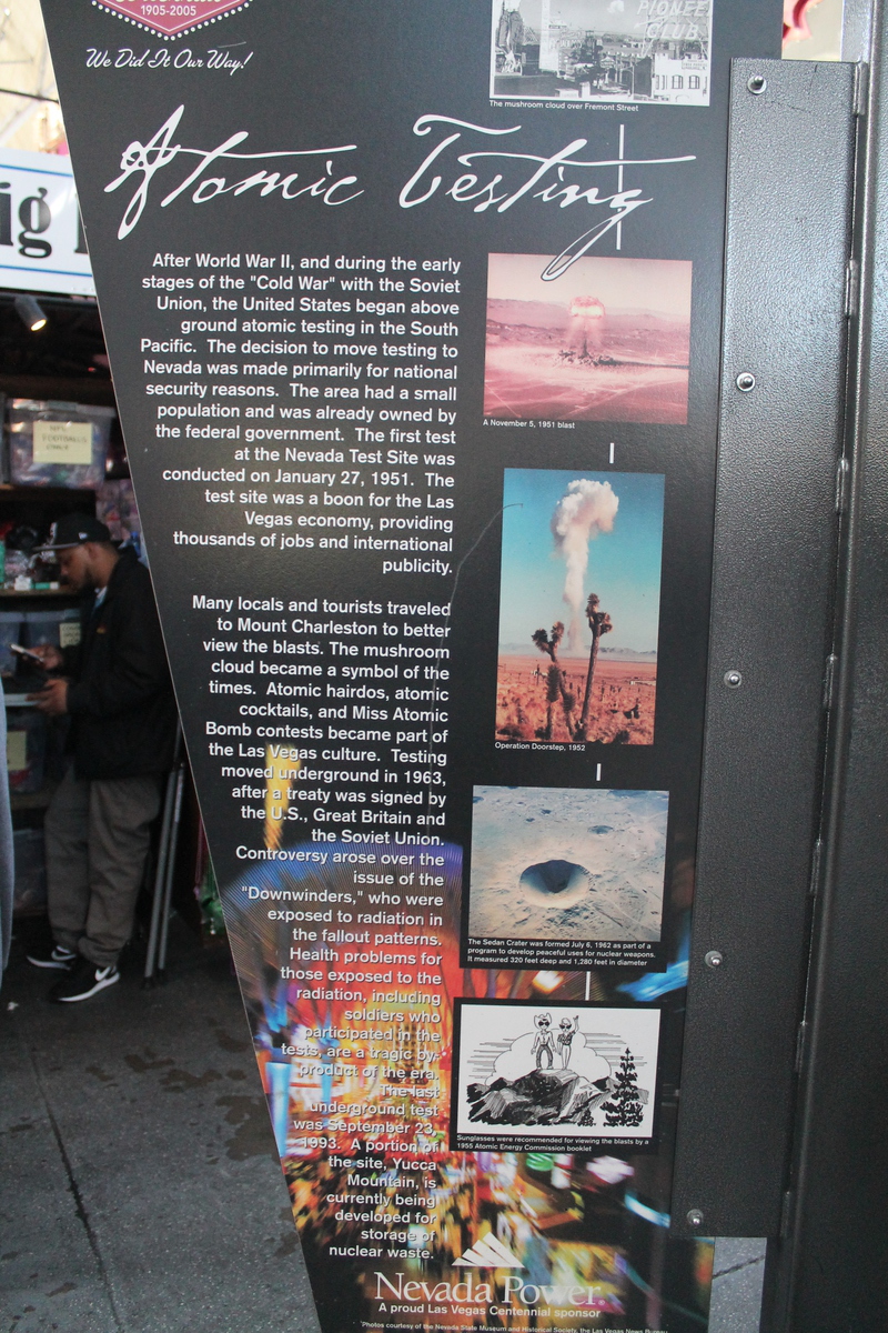
I first met my friend Gordon at our first job out of college, back in 1982. We were at McDonnell-Douglas in the department that dealt with modeling nuclear weapons effects. So we read and thought about nuclear weapons quite a bit in those days, and we both thought that it would be interesting to get a chance to see an actual nuclear test. Since above-ground testing ended in 1962, and even underground testing ended in 1992, it’s just not possible. But going to see the place where they did the tests back in the 1950s was the next best thing.
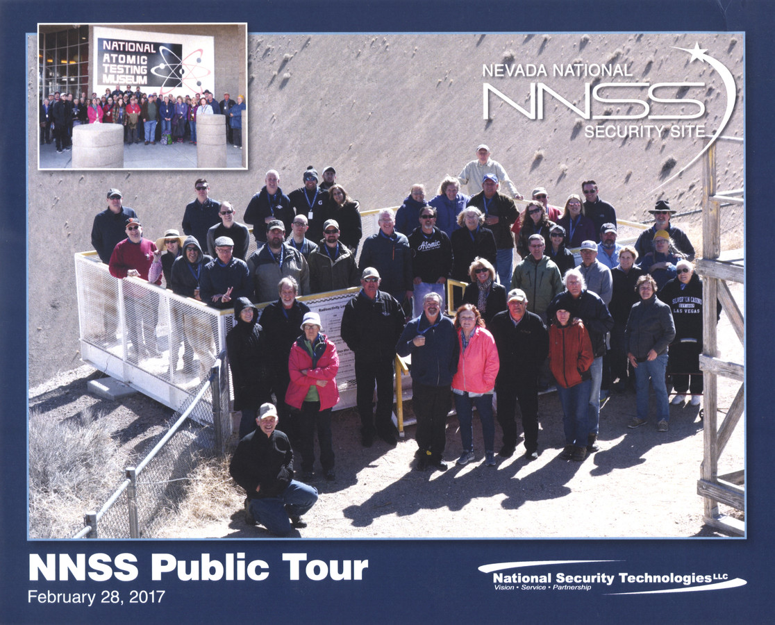
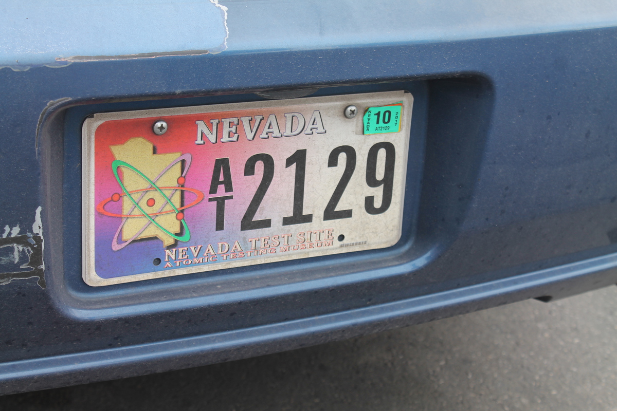
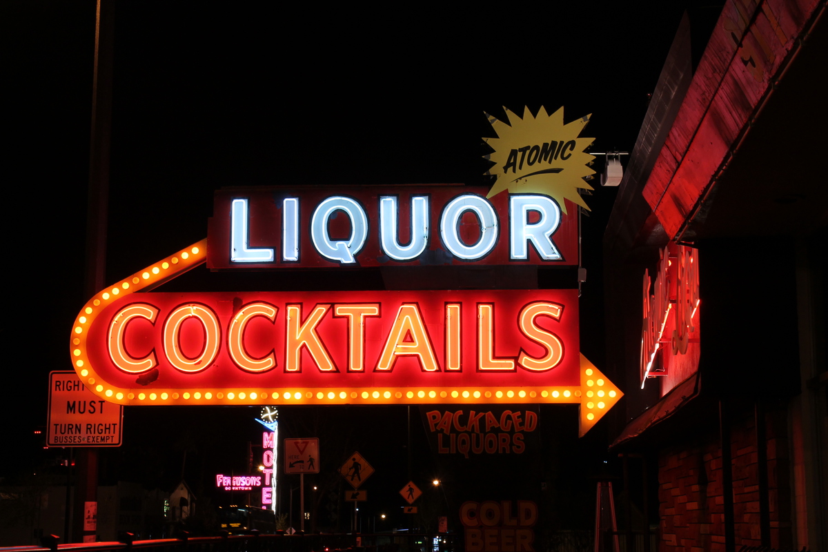
The tours of the test site are given once a month, and they fill up fast. I signed us up for this tour last July. And Tuesday morning, we headed over to the Atomic Testing Museum for the tour.
There were about 45 people on the tour. We all got on the bus for the long ride out of town to the test site. On the way there, we passed by Creech Air Force Base, where we saw a drone flying around and practicing touch-and-go landings. A little bit farther out, we finally got off the main road and entered the test site. The streets in that part of the base were all named for nuclear test series’ from the 1950s. Tumbler, Snapper, Ranger, et al. We had a snack stop there, and then we got back on the bus to head out to Yucca Valley.
On the way to Yucca Valley, our guide pointed out some old wooden benches next to the road. He said these were the benches that spectators sat on to watch the early tests at Frenchman Flat.
We rode the bus all the way through that valley and over a small pass to get to Yucca Flat. There, they took us to see the site of the last prepared underground test. It was put together and ready to go in 1992 when all nuclear testing was stopped. So we got to go inside the tower and see the test rig, complete with a small dummy warhead at the bottom and all the instruments to record the explosion mounted above it. The whole thing was suspended over the hole, ready to be lowered down for the test.
Continuing on in the bus, we stopped for our one photo-op of the tour. The guide had a camera, and he took a group picture of us on the observation platform at the edge of the crater left by the Sedan test in 1962. This test was supposed to be a demonstration of ‘nuclear earthmoving’, and there was actually a proposal to use this to dig a harbor in Alaska, and even talk of using nuclear bombs to dig a giant roadcut for Interstate 40 in California.
Getting back on the bus, we headed back toward Frenchman Flat, with a short side trip to see one of the houses that was built for the Apple 2 test in 1955.
We stopped for lunch at the cafeteria at the test site. In the hallway there, there were large photographs of some of the tests.
After lunch, we got back on the bus to go to Frenchman Flat. We saw the nuclear waste dump site there. And then we went to see the remains of the buildings and other structures built for the 1957 Priscilla test. The railroad bridge with the bent steel girders was particularly impressive.
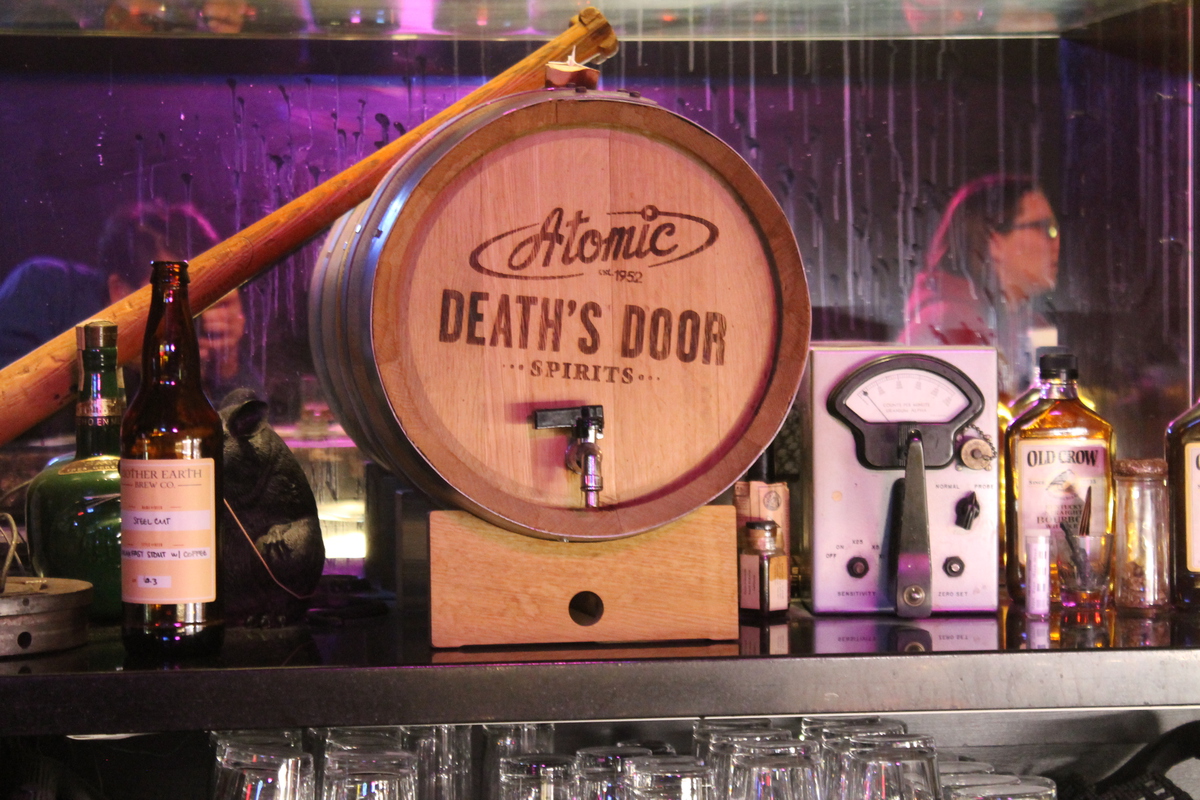
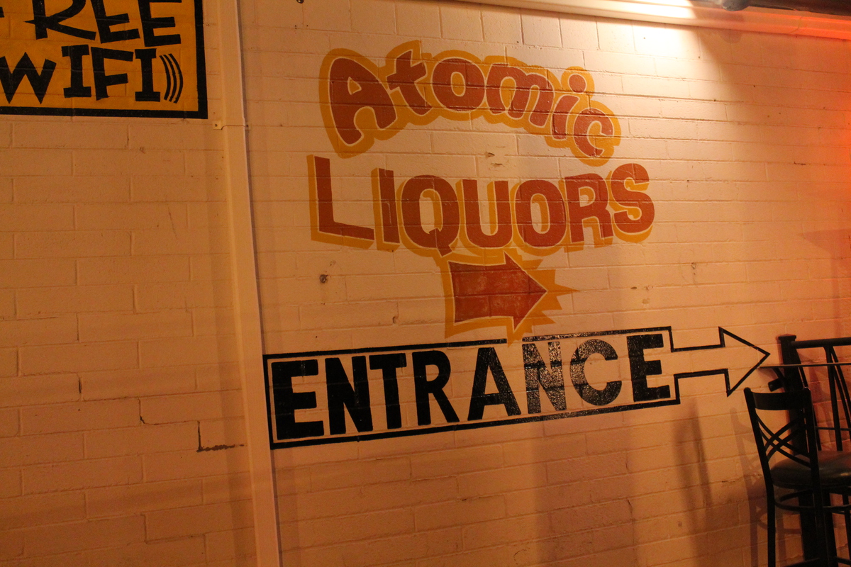
That was the end of the tour, and the bus headed back to Las Vegas. As always, one must exit through the gift shop, so we got to go to the Atomic Testing Museum’s gift shop at the end. It was an interesting and entertaining day.