Straight Outta Compton
 |
 |
 |
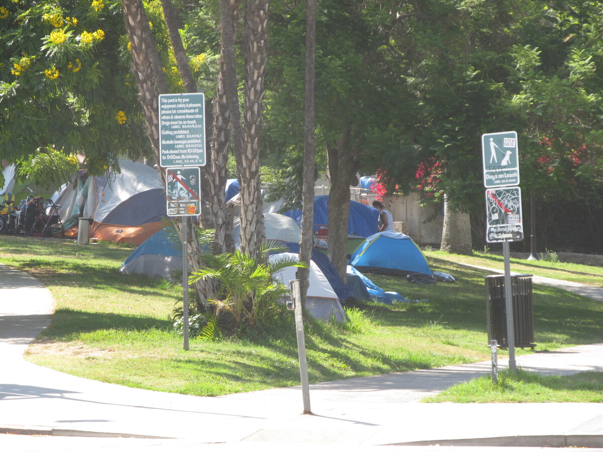
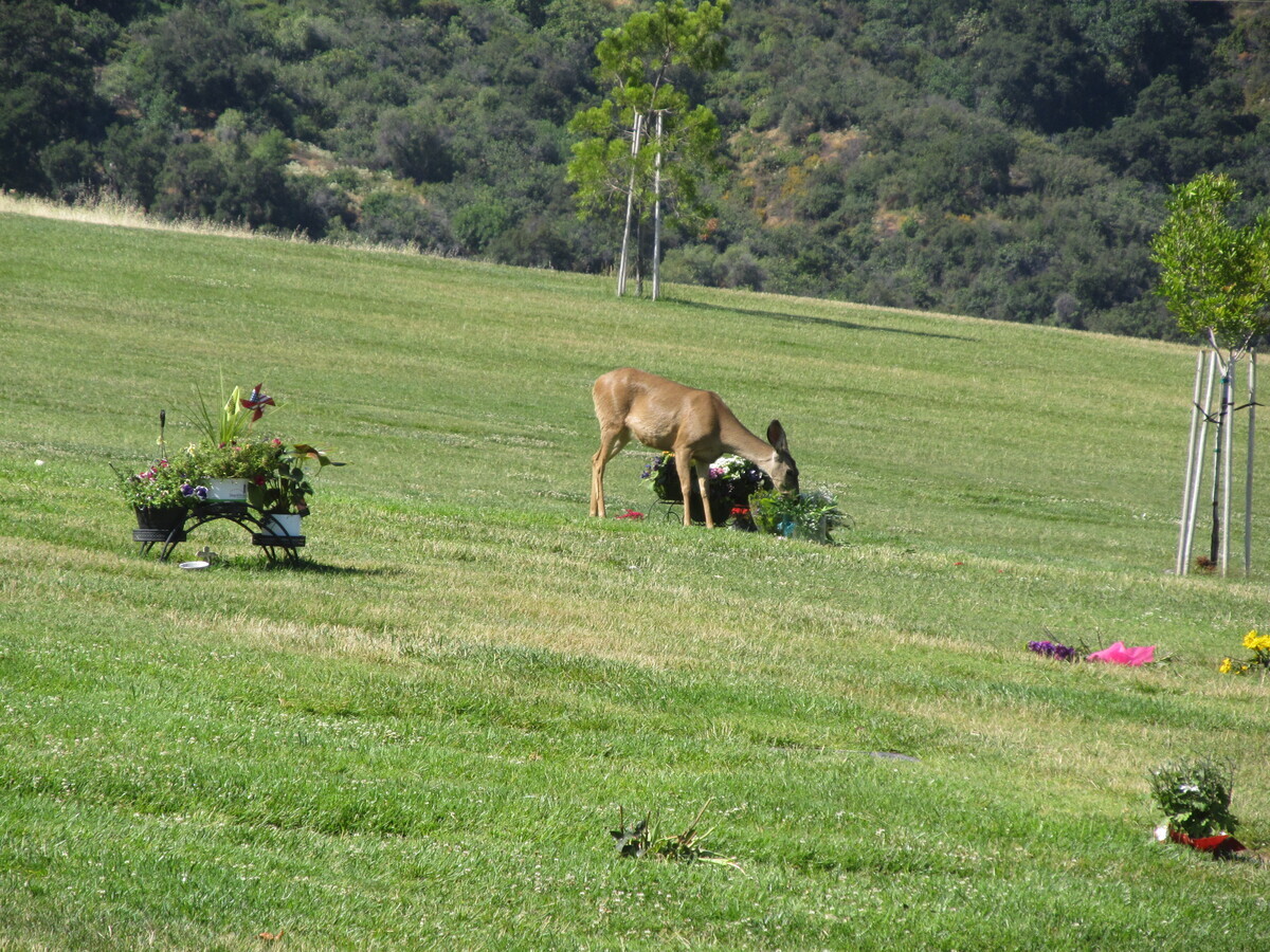
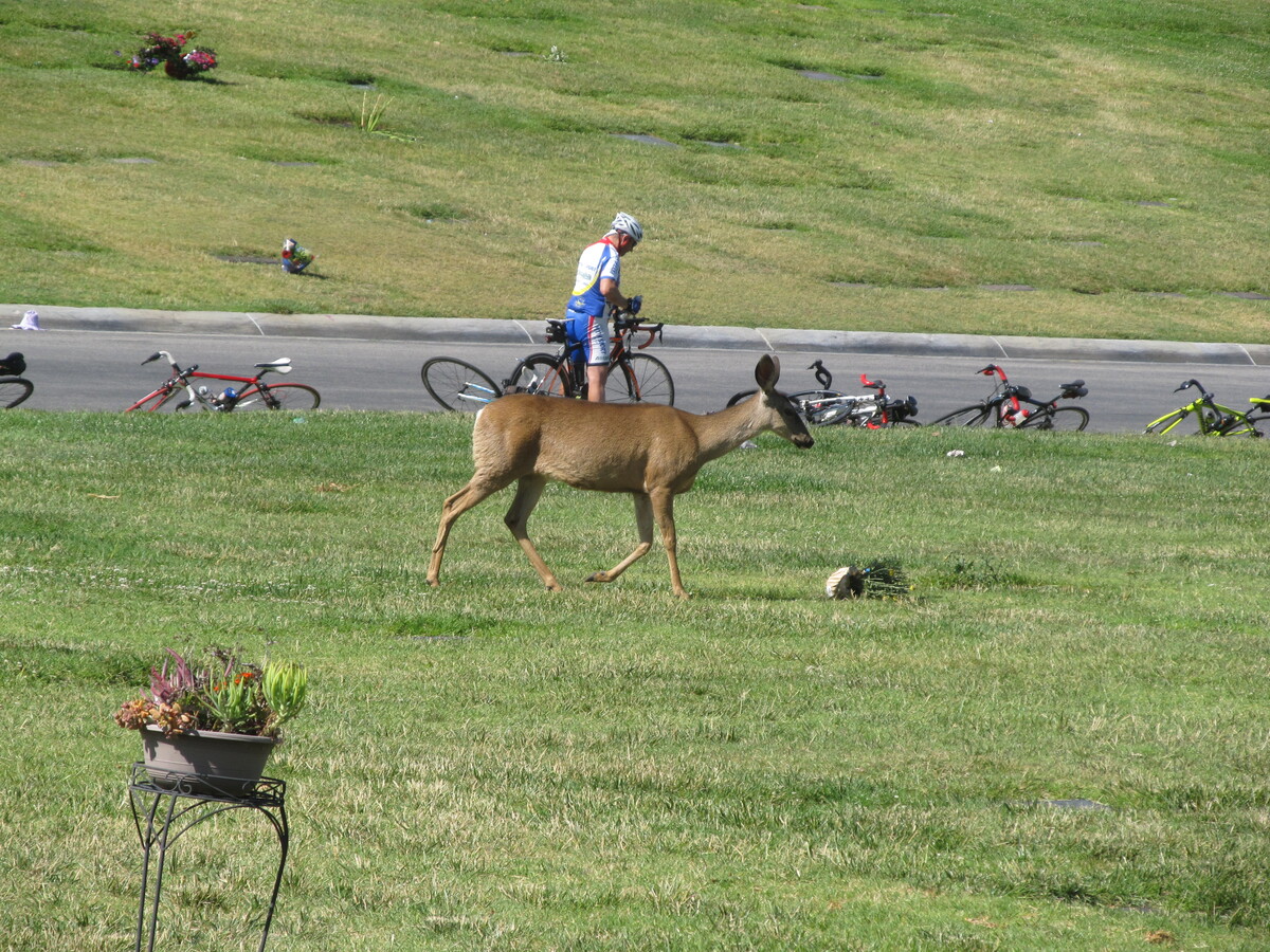
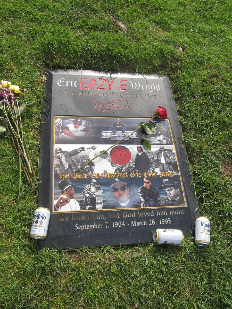
This week’s bike club ride was a visit to Rose Hills Cemetery in Whittier to see Eric “Eazy-E” Wright. We’ve been there before, but the last time was pretty grim. It was a brutally hot day, and really uncomfortable for riding. Today looked to be much better.
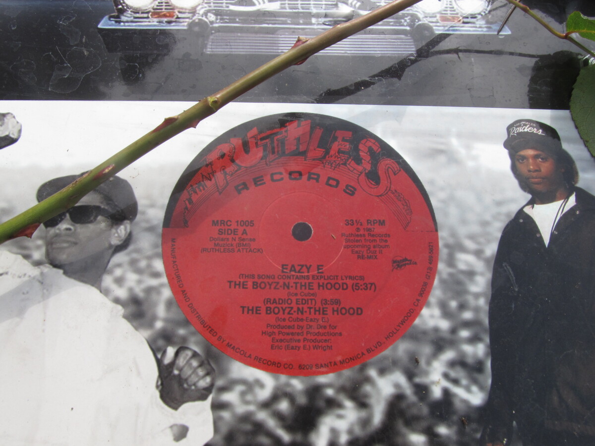
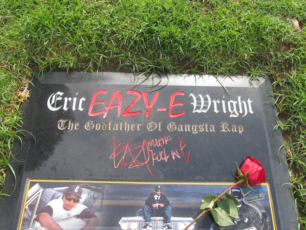
When we got to the cemetery, it was again a pretty hard climb up the hill. I guess they called it Rose Hills for a reason. But we got up there, and we saw that Eazy-E has a new and much nicer marker now. Photos, a record, and notes that he was “The Godfather of Gangsta Rap”. He certainly made a mark on the world. And the empty beer cans showed that he still gets a fair number of visitors.
On the way home, we stopped for snacks at Merengue in Monrovia, which is always good.
44 miles.
Comments Off on Straight Outta Compton