Biddy Mason
 |
 |
 |
 |
 |
 |
 |
 |
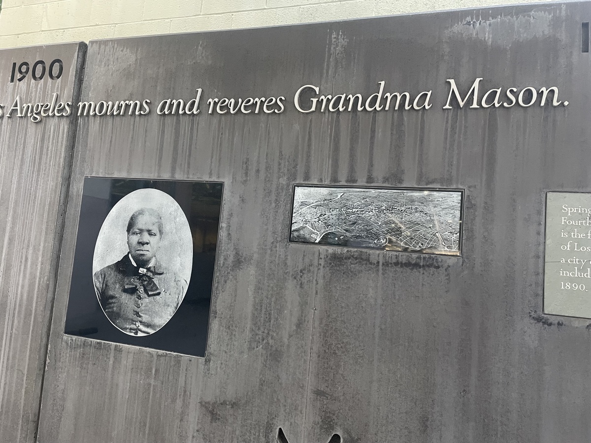 |
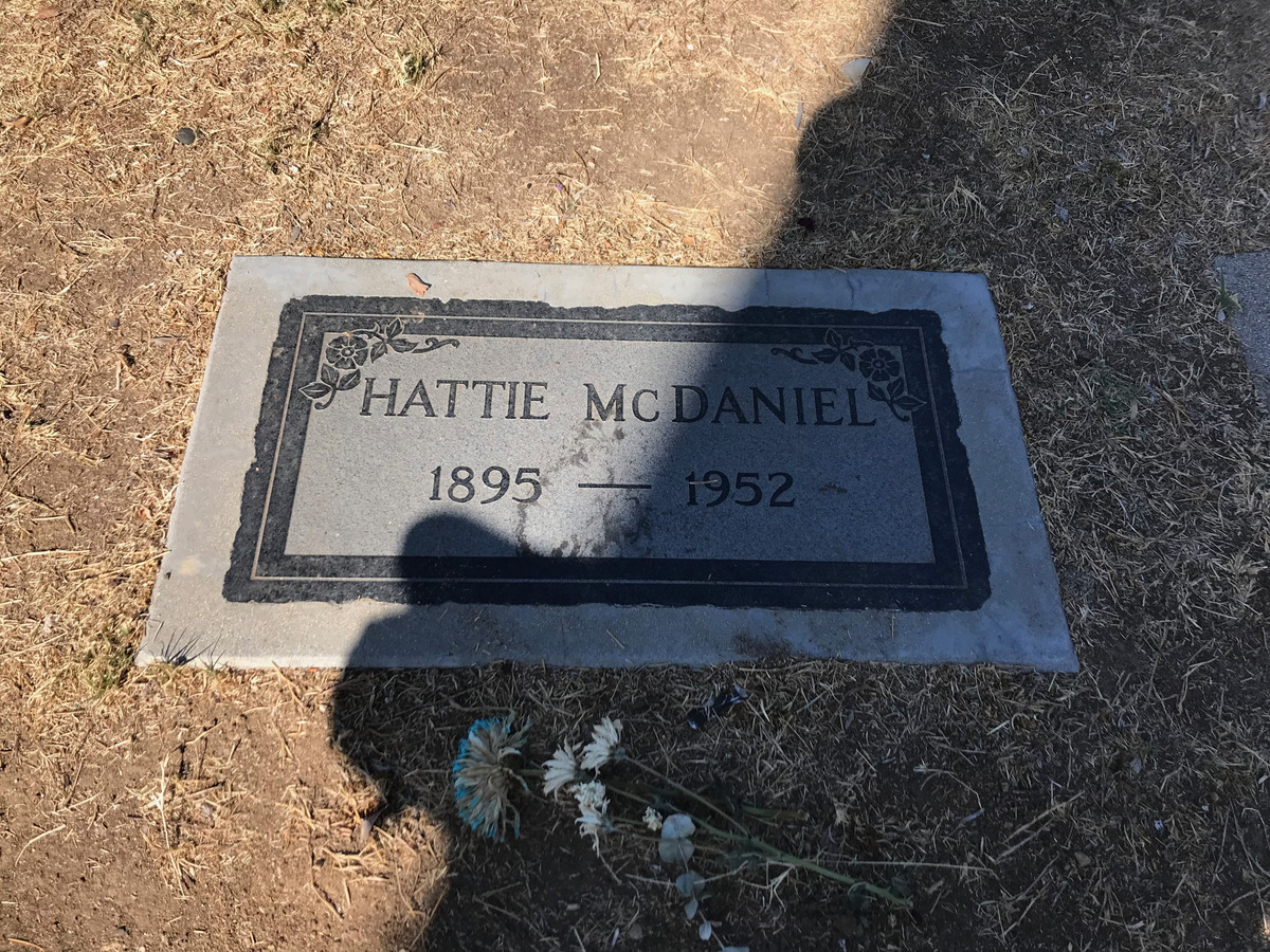
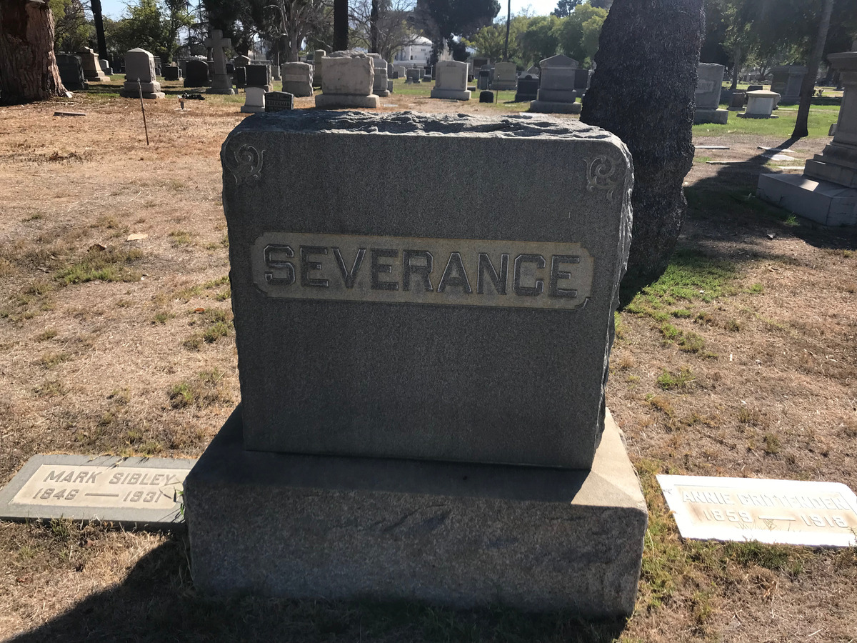
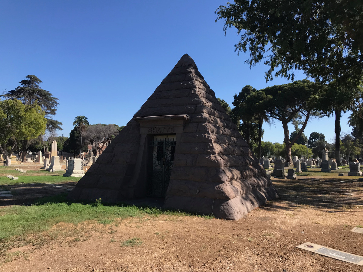
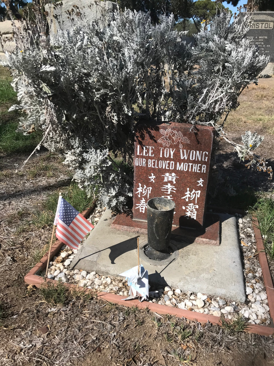
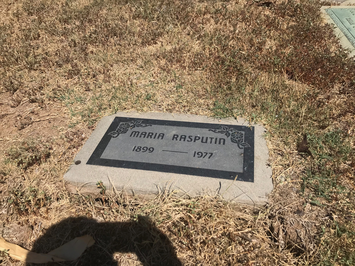
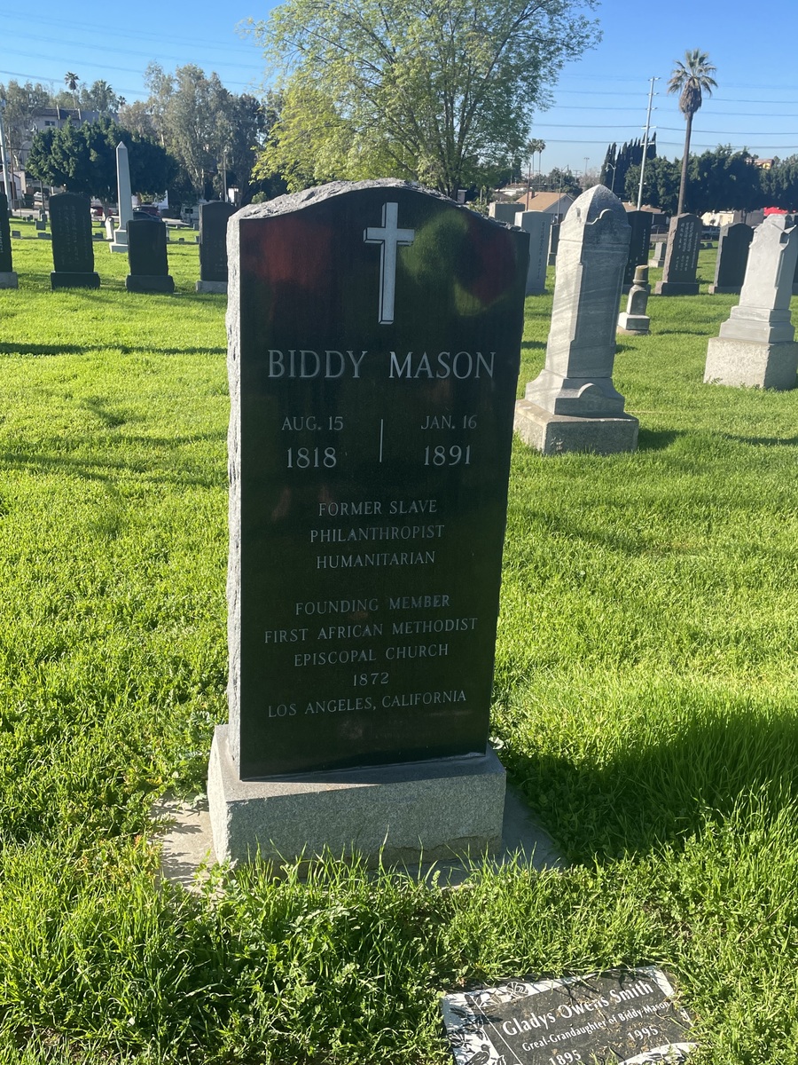
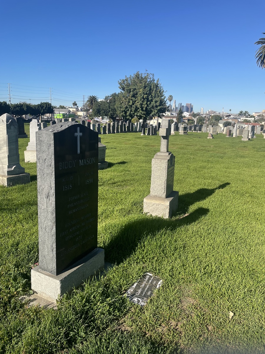
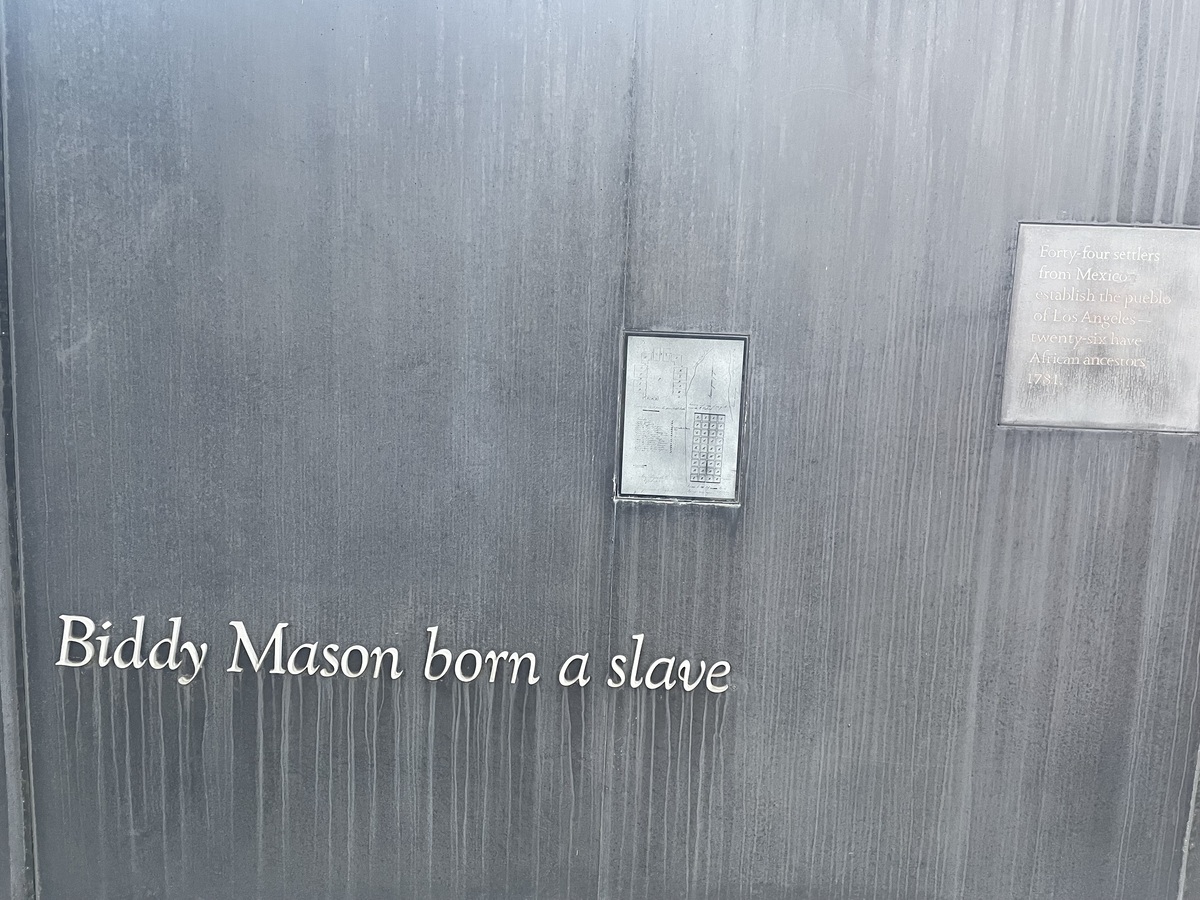
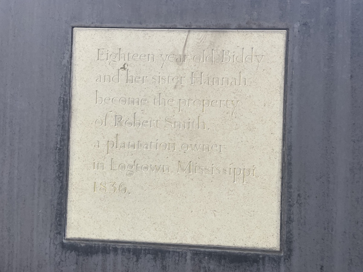
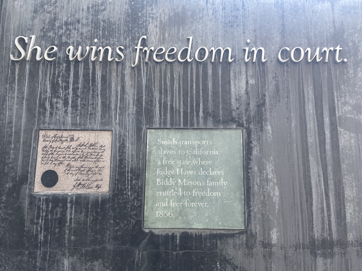
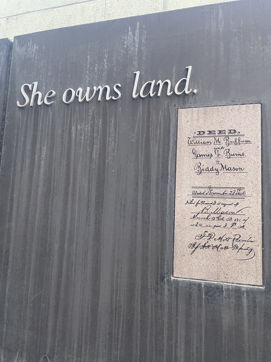
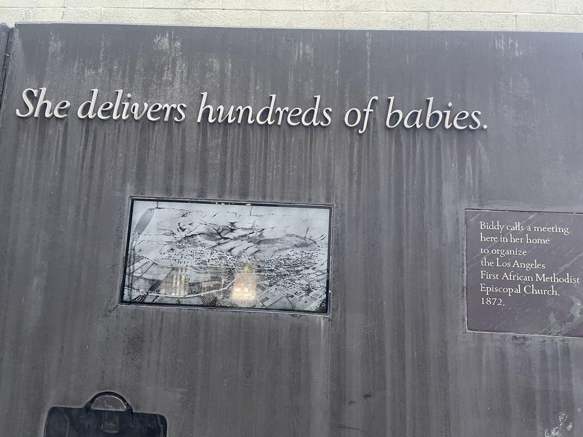
It’s Black History Month, so that led us to the theme for today’s bike club ride. Some years ago, I’d read an article about Biddy Mason, who had a really remarkable life story. Today’s bike ride was a visit to her grave at Evergreen Cemetery in East L.A., and then into downtown to see the memorial to her in the alley behind the buildings on Spring Street that stand on the property she owned back in the 1800s.
After that, we rode around and into Echo Park to see if the new Canyon Coffee location was open yet. It wasn’t, so we went a few blocks up the street to Valerie Confections. It had turned into a very nice day by then.
All told, it was a nice day and a nice ride.
42 miles.
Comments Off on Biddy Mason