A bit of Disney History
 |
 |
 |
 |
 |
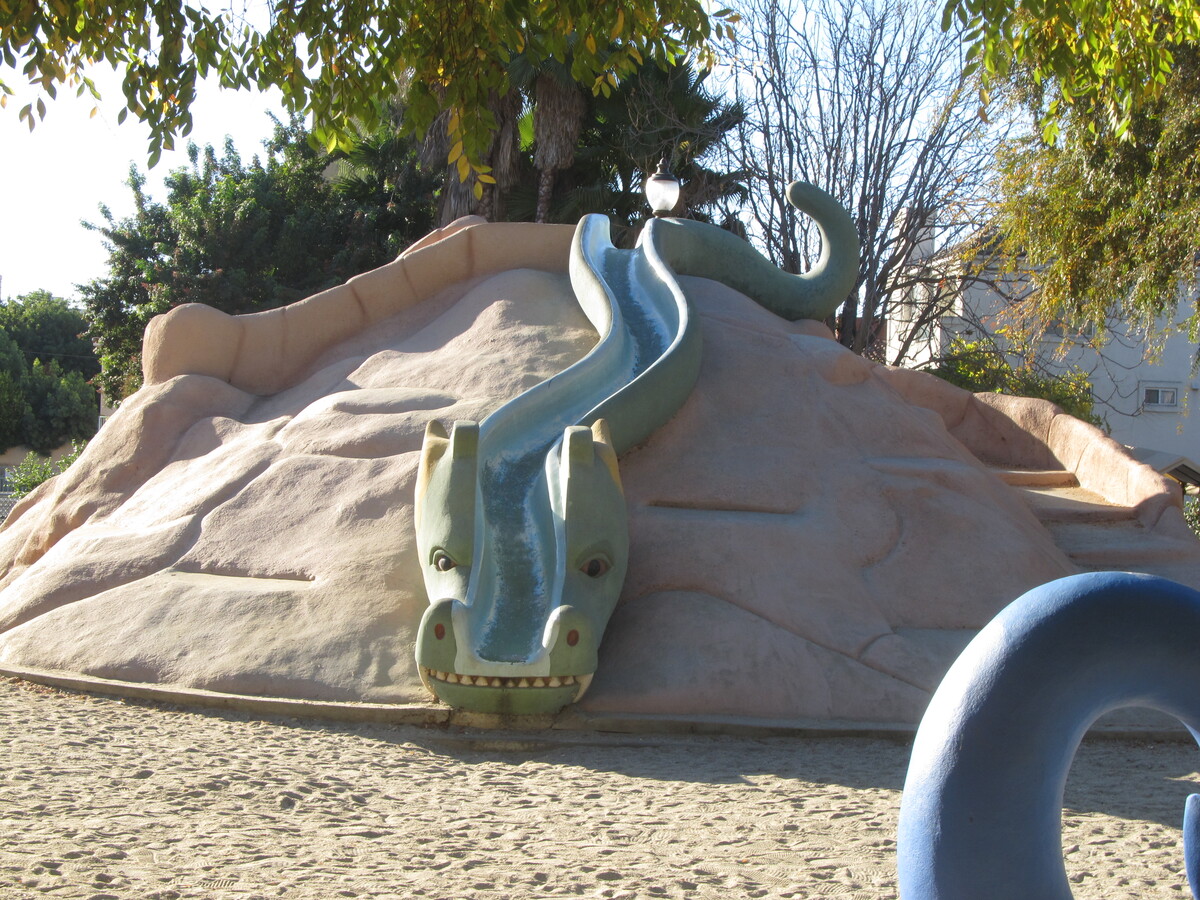
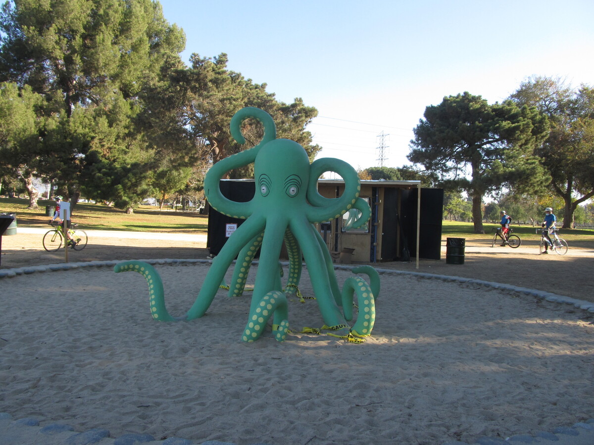
This is the bike club ride from August 29, 2021.
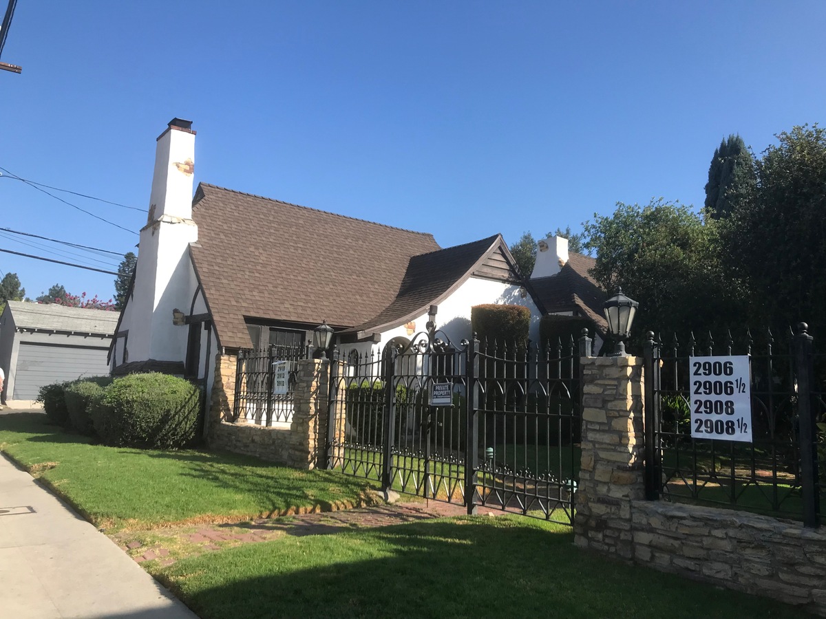
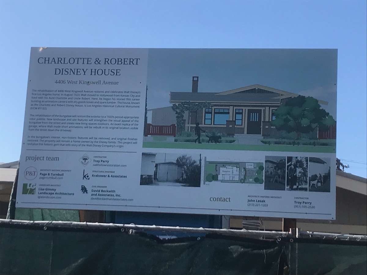
I’d read recently that the city of Los Angeles had bought and was refurbishing the house that Walt and Roy Disney lived in when they first moved here from Missouri.
So, of course I said, “I know where we’re riding this Sunday.”
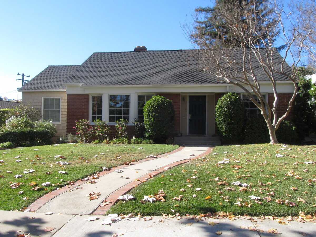
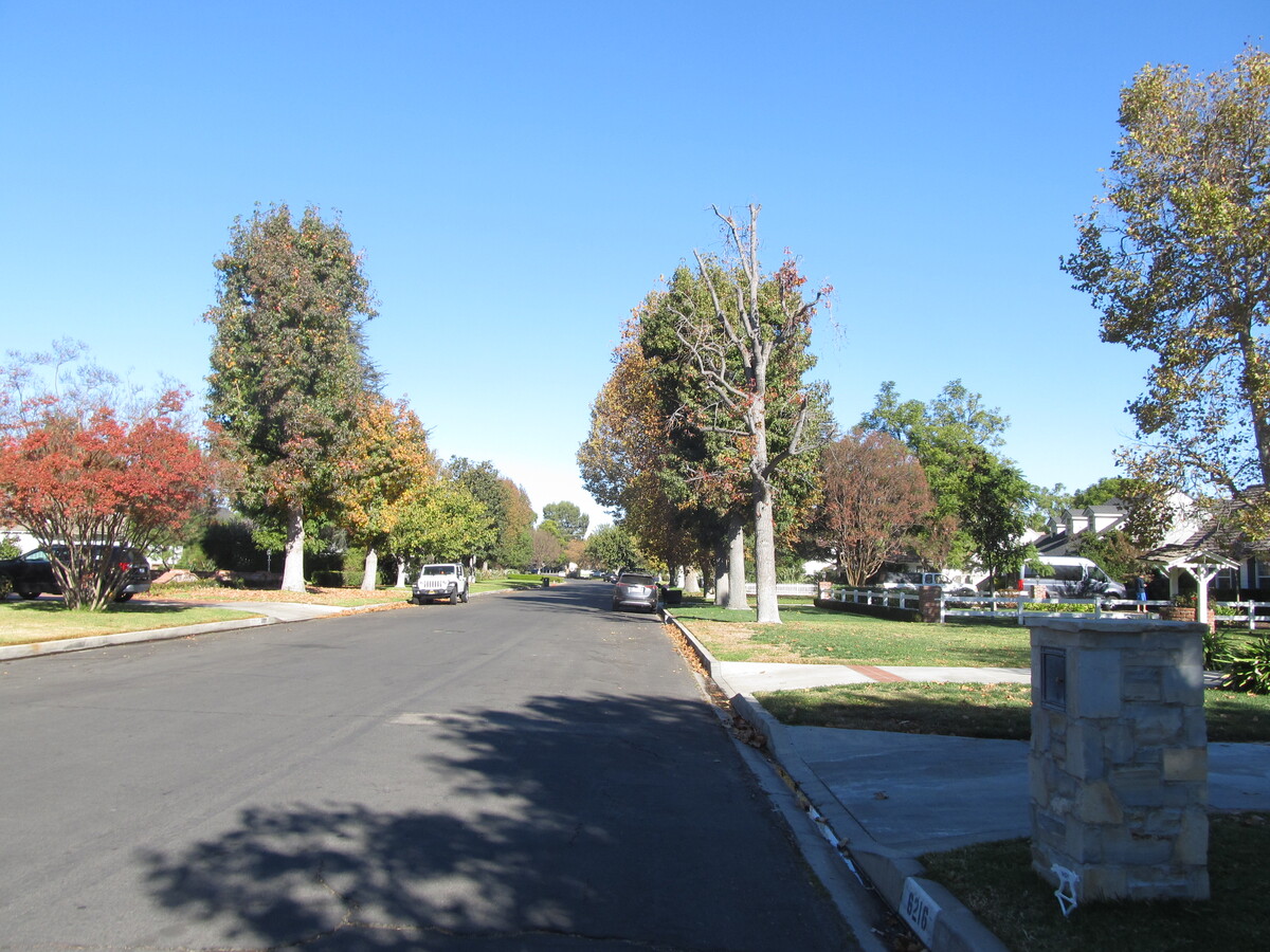
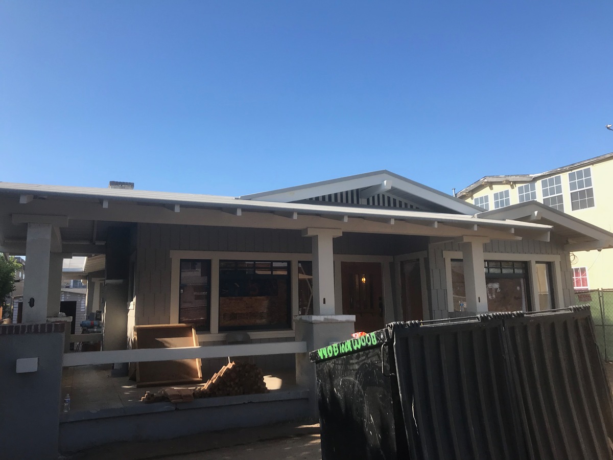
The house is in the Los Feliz area, and we’ve never been down that street, despite riding by a block away countless times over the years.
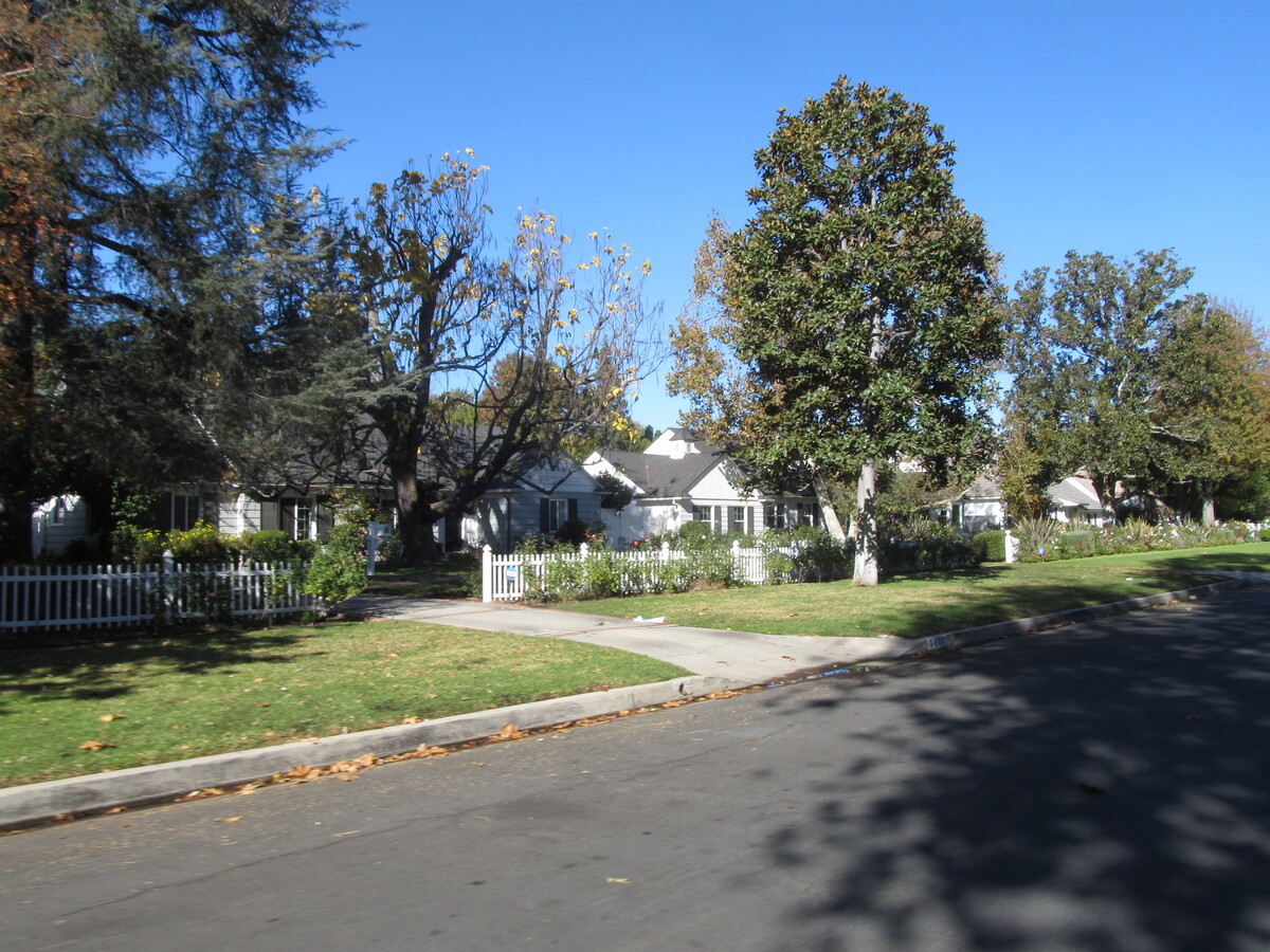
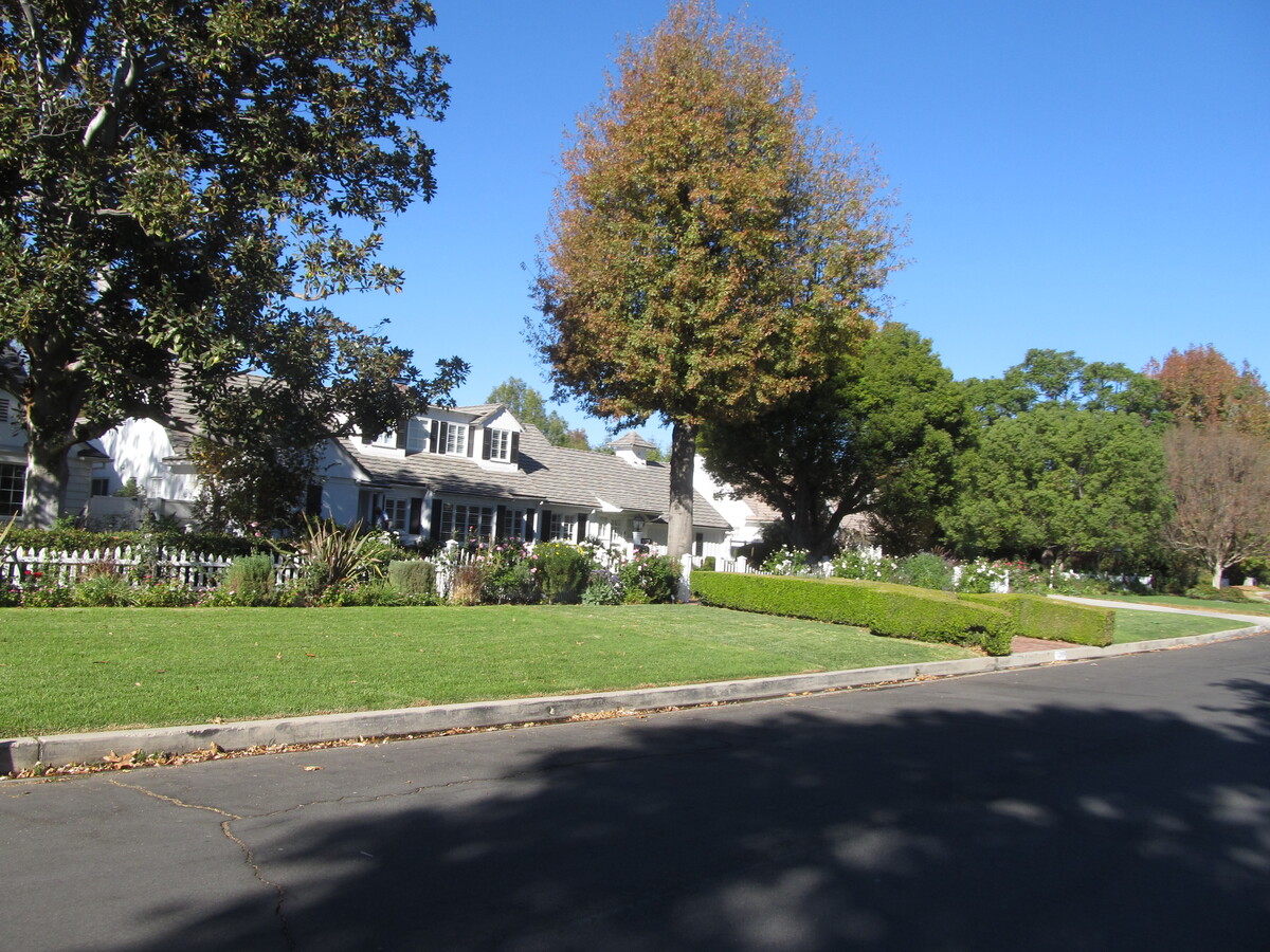
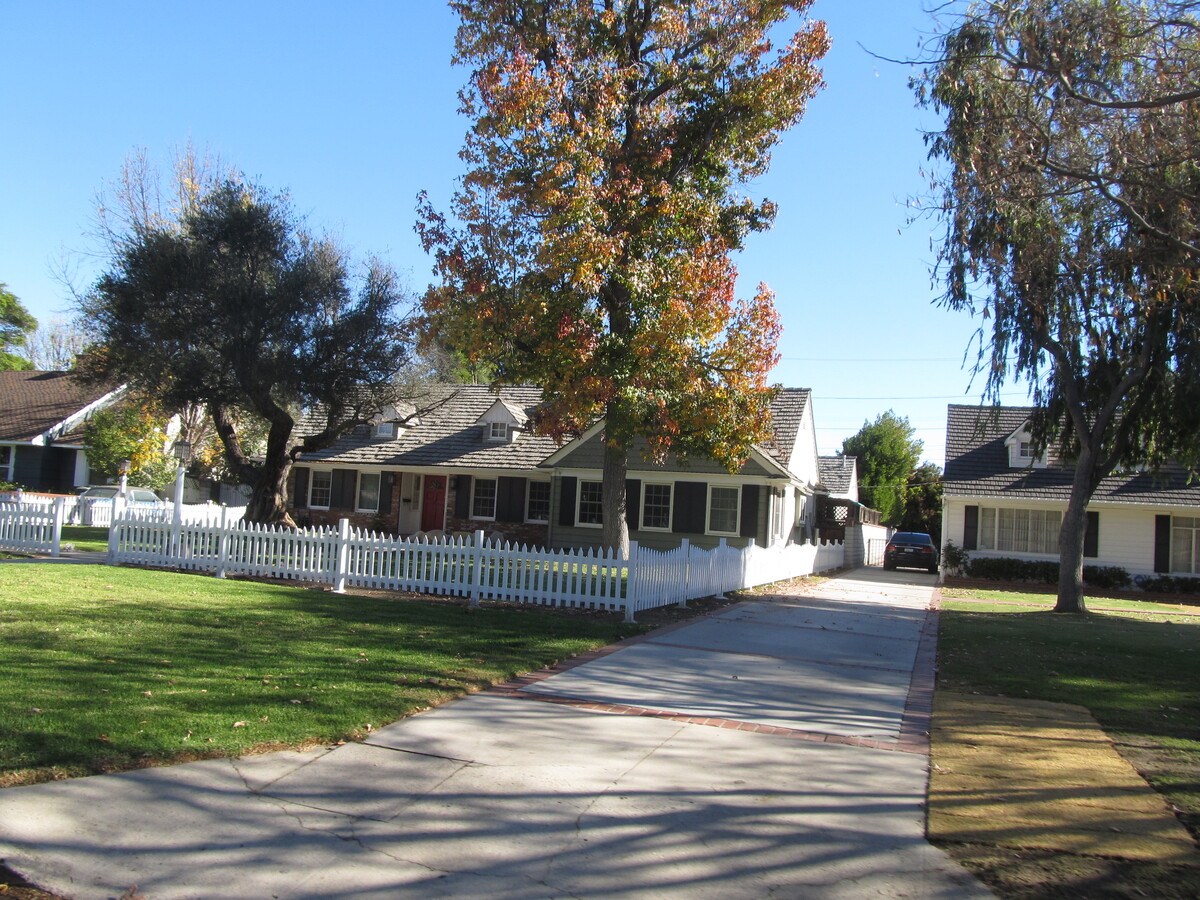
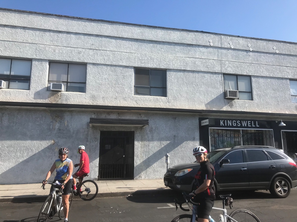
When we got near the house, we took a short side trip to see the “Snow White cottages”. The story is that Walt brought his animators over there to see those houses, and he told them that the house in “Snow White” should look that them. Then we headed over into Los Feliz to see the actual house. It’s a pretty typical house for the neighborhood, but now it’s special. And just a block or so down the same street is the building where Walt set up his first studio.
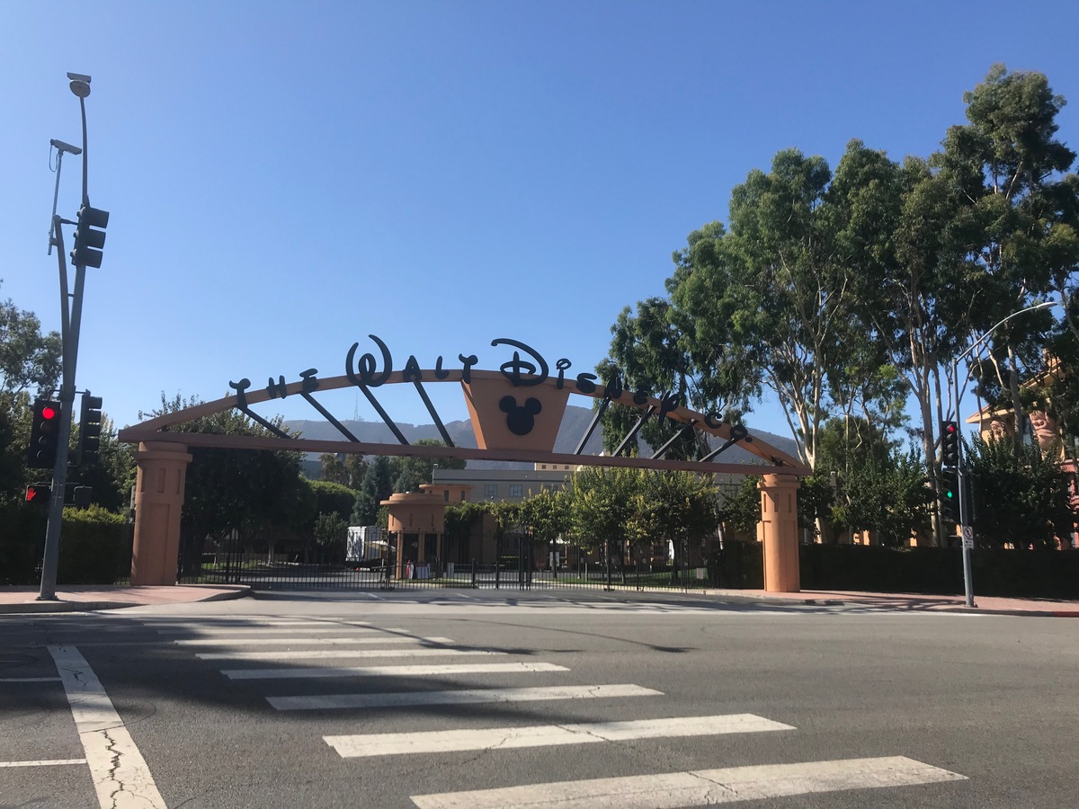
From there, we rode back into Griffith Park and then up to Burbank. We went down Alameda to see the giant imposing gate that is now the face of the corporate behemoth that Disney has become. They’ve planted trees that have grown quite large, so it’s difficult to see the main building with the Seven Dwarfs holding up the roof.
Anyway, no matter how you slice it, it’s an amazing success story. And a little piece of what makes living in Los Angeles tremendously entertaining.
42 miles.
Route map and elevation profile