Very chilly bike ride
 |
 |
 |
 |
 |
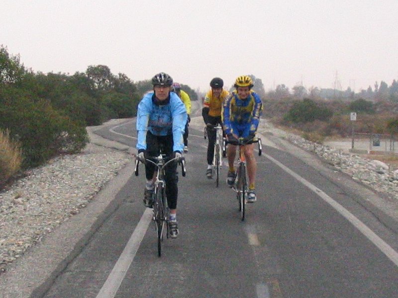
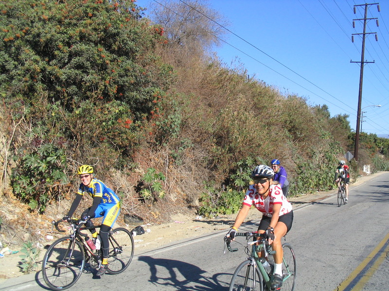
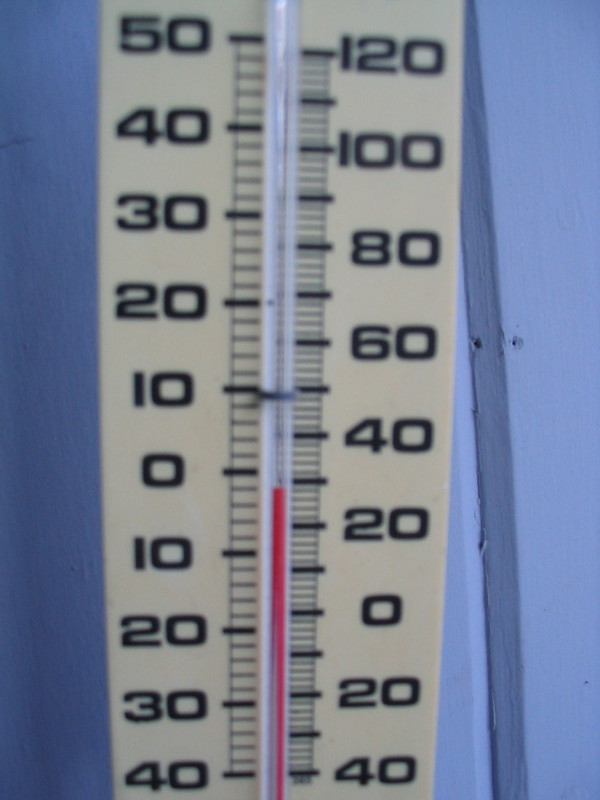
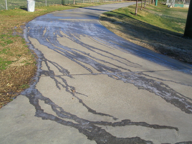
Today’s bike ride was held on what will probably be the coldest day of the year. It’s the coldest day I’ve ever seen here in L.A. since I moved here in 1982. It was 28 degrees on my back porch this morning. I wore almost everything I own to try to be warm, including my bagfoot. When I rode down to the park to meet the group, I slipped on some ice. That was shocking. I’ve never seen actual ice on the ground in L.A. before. It’s something that just Does Not Happen.
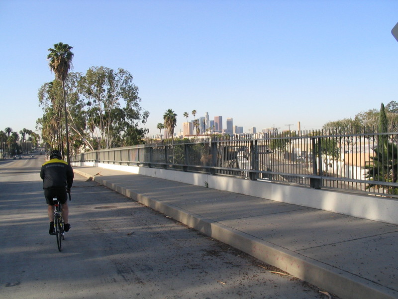
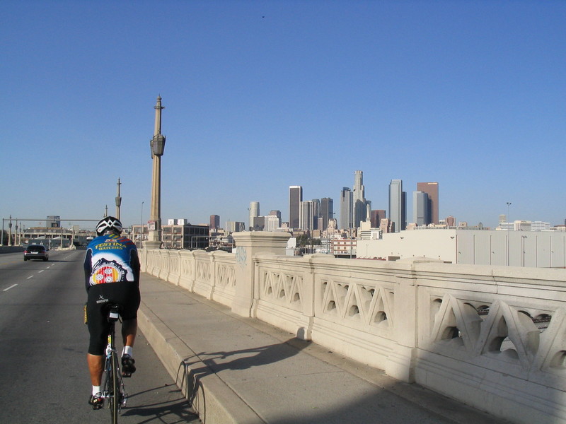
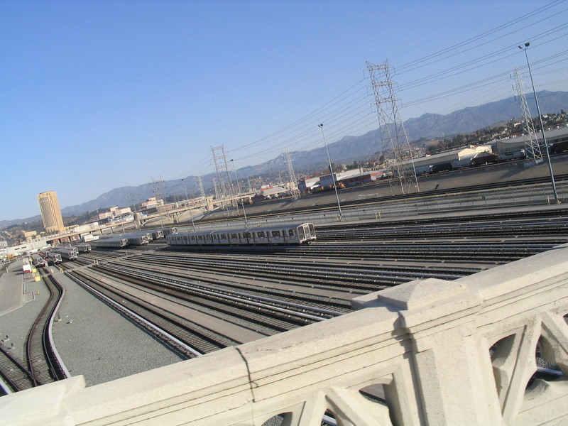
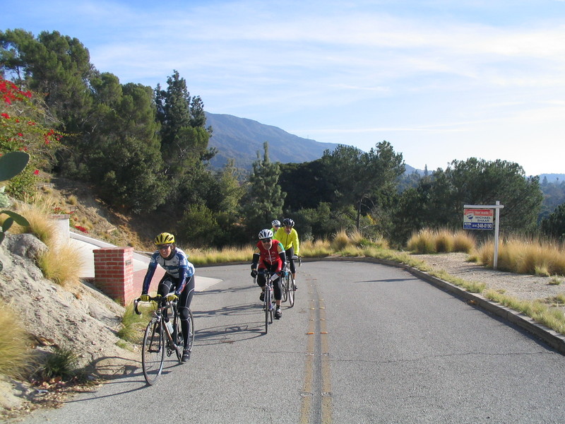
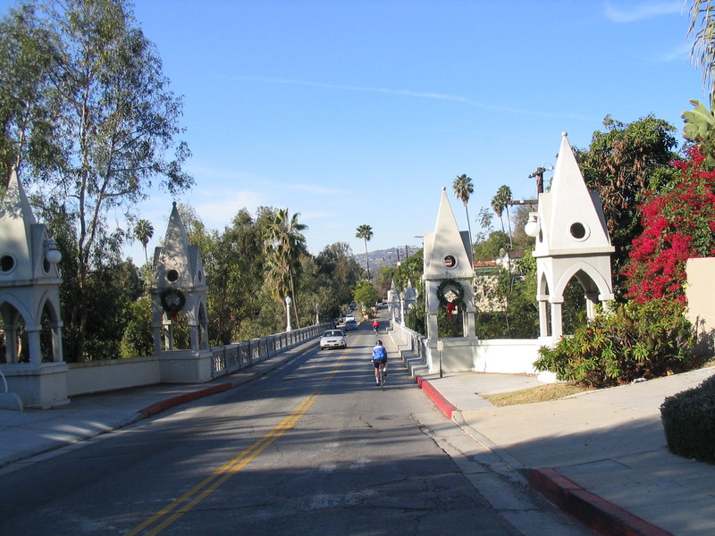
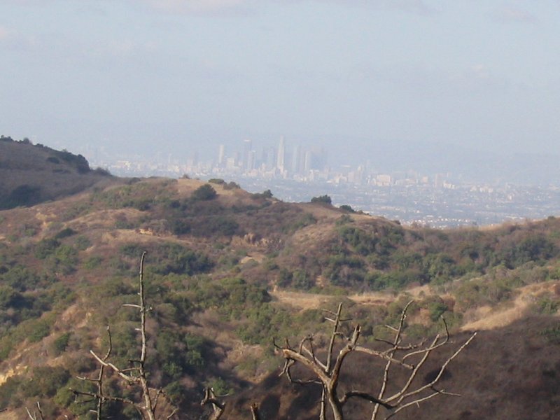
We started out from the park and rode over past the Rose Bowl, and then up into La Cañada. Then we went down Hospital Hill into Montrose.
In La Crescenta, we stopped to see the Rock Haven Sanitarium. Marilyn Monroe’s mother reputedly spent some time there, as well as other screen stars of bygone years.
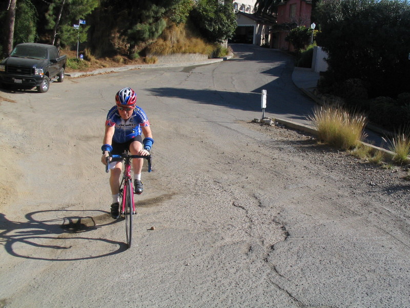
The ride was supposed to be through La Tuna Canyon, but none of us was looking forward to freezing on the four-mile downhill into Sunland. So we decided to do a different ride. We headed down Verdugo and into Glendale. Then we took Mountain and Kenneth over to Paradise Bakery.
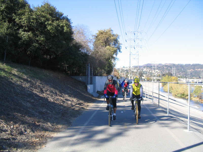
At Paradise, I had my usual two chocolate eclairs. They have the best chocolate eclairs there. Then we rode down Sonora to Riverside and got on the L.A. River bike path. We took the path all the way to Fletcher. At the little cul-de-sac at the end of the bike path, I saw another abandoned couch for the Abandoned Couches Blog.
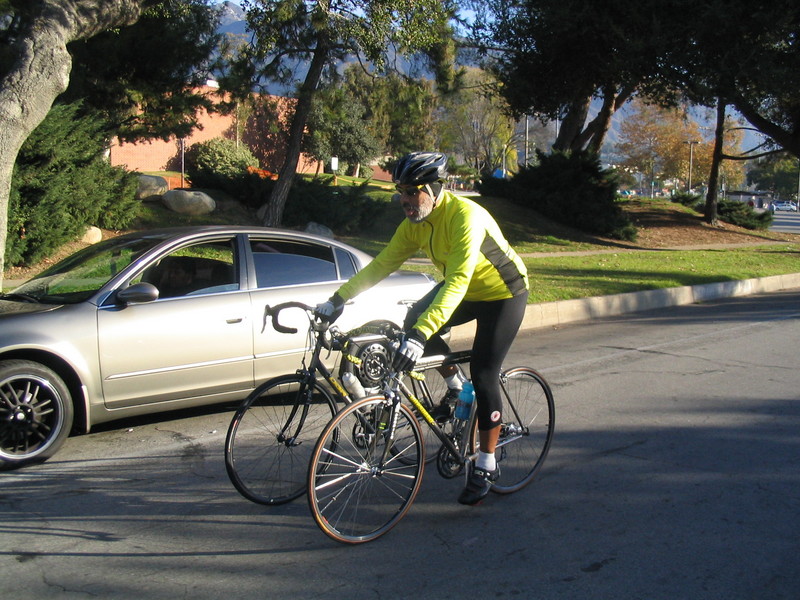
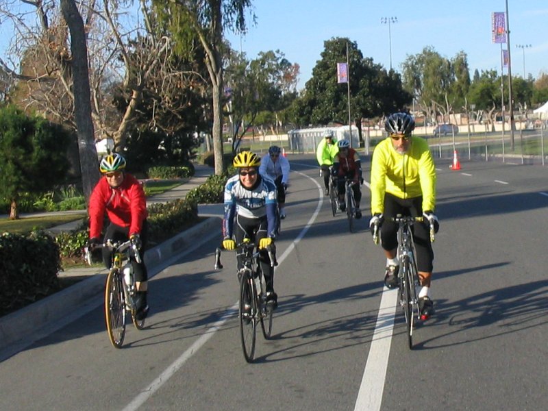
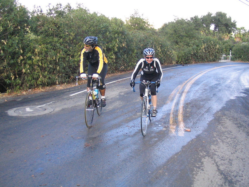
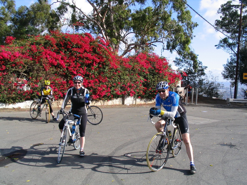
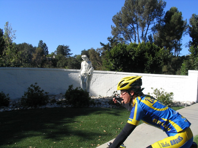
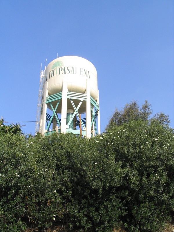
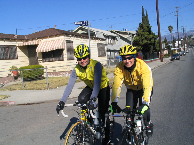
The way home went up Eagle Rock Blvd and then across on Meridian St. It was there that I noticed the Vikki and Newton were twinsies today, so I took a picture of them in their nearly-matching yellow helmets and jackets. Then we rode across South Pasadena and San Marino, and finally up Sierra Madre Blvd and back to Victory Park. When I rode home across the park, I saw that the ice had melted, so guess it warmed up a little bit today.
41 miles.