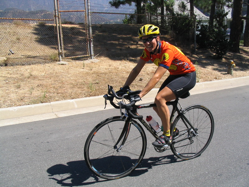
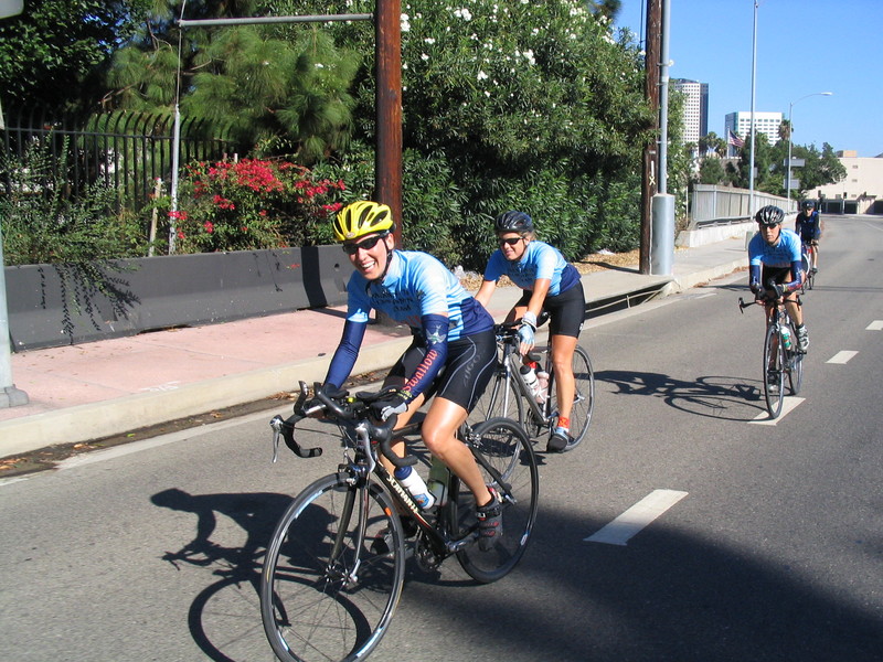
Route map and photo locations
Did I just call Crown Ave a “killer hill“? What was I thinking? Today we rode up the mountain that starts at the top of Crown Ave.
The plan was a sightseeing trip to see the remains of the old Nike Ajax antiaircraft missile site at Barley Flats. This involved climbing the mountains.
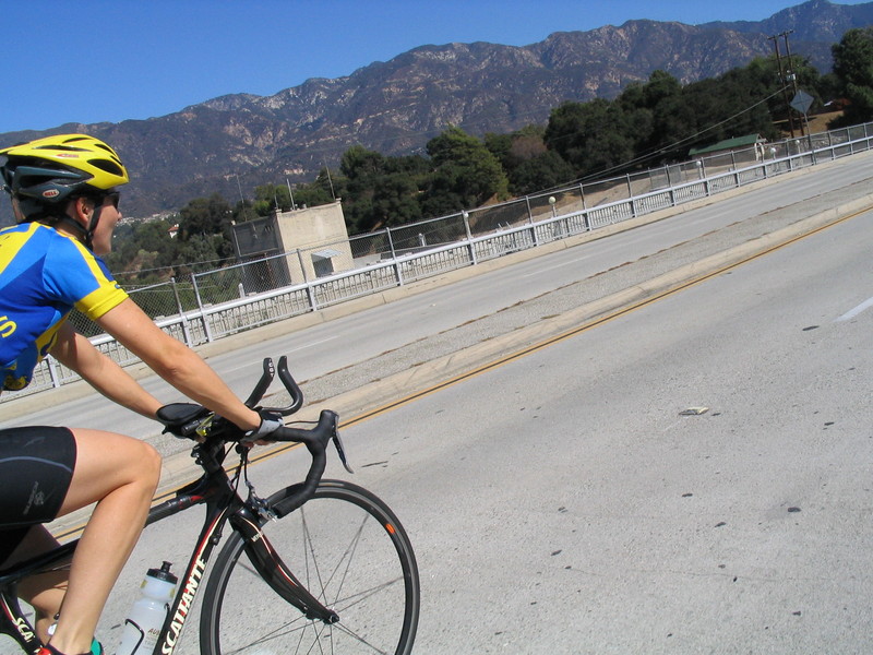
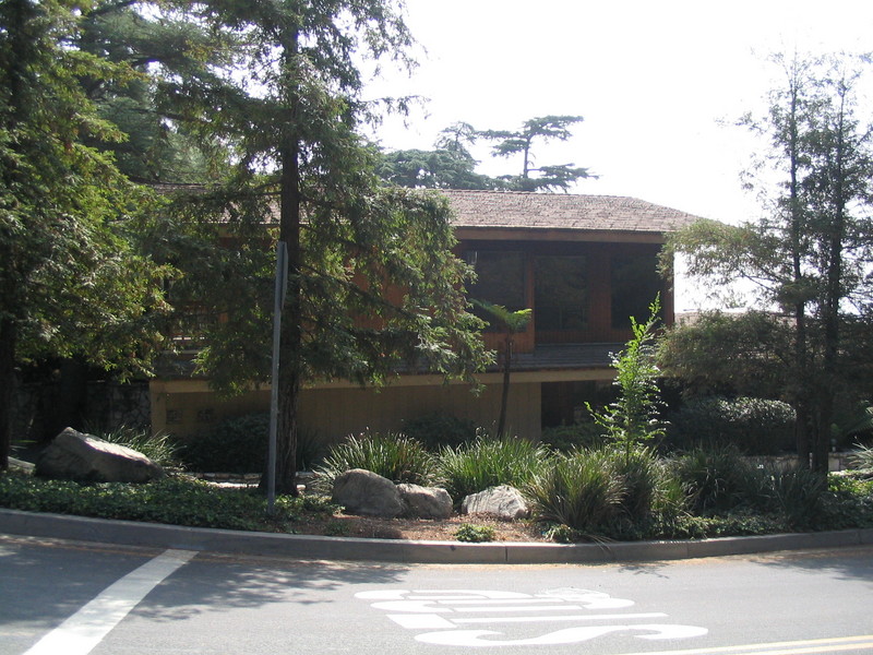
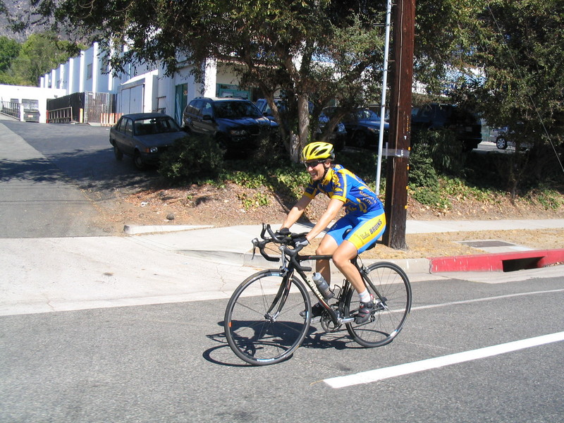
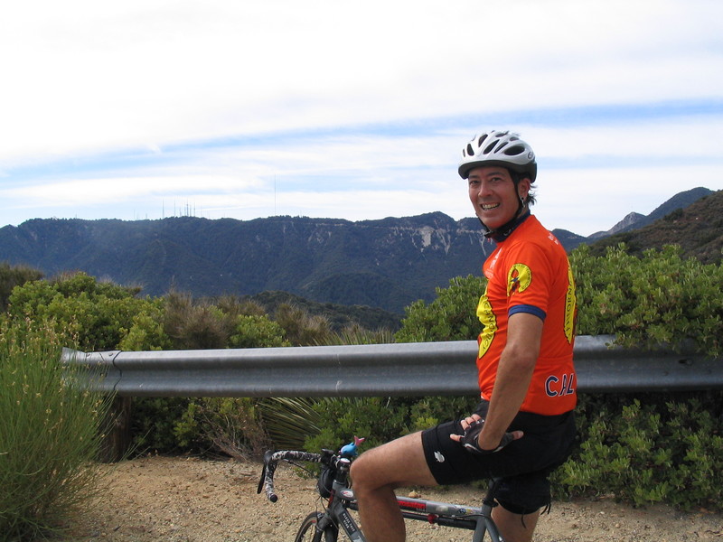
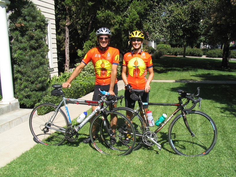
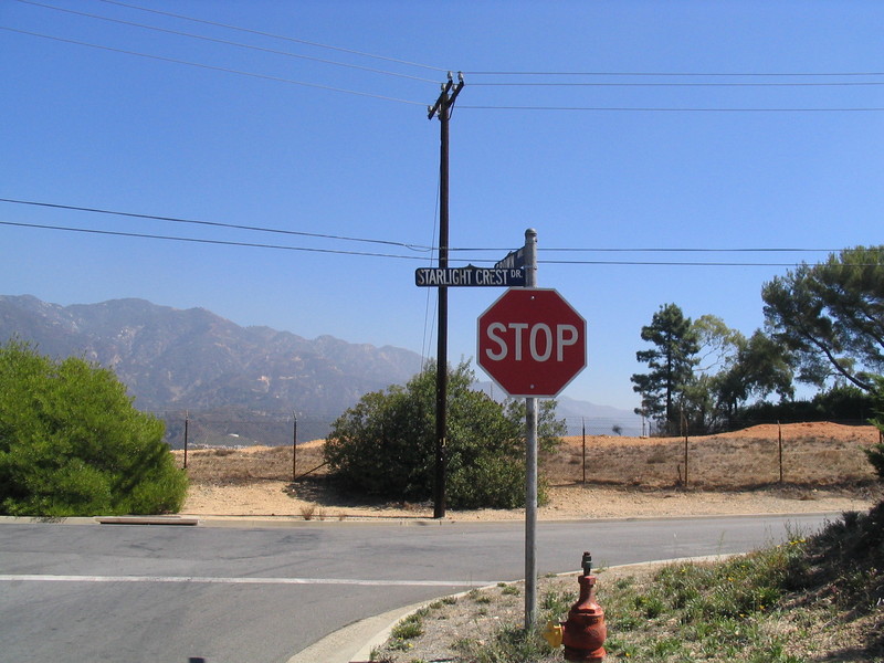
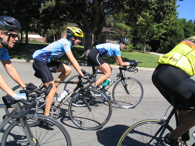
I met up with James in front of his house, and we headed up. We rode across Pasadena and La Cañada to get to Angeles Crest Highway. Right away, we passed Starlight Crest, which is the top of the big hill on the Wednesday lunchtime ride. Then we started climbing in earnest.
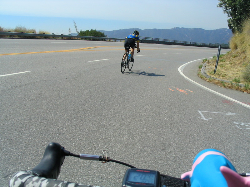
Angeles Crest is nice. It’s not steep, but it’s a consistent climb. Probably about 5% or so. This went on for about 9 miles until we got to the ranger station at Clear Creek. At this point, we stopped to refill water bottles, and then continued on. The road drops down a few hundred feet before starting a steeper climb up to the turnoff for Mt. Wilson at Red Box.
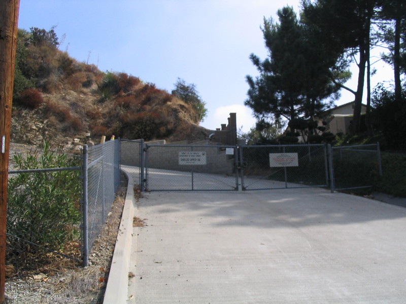
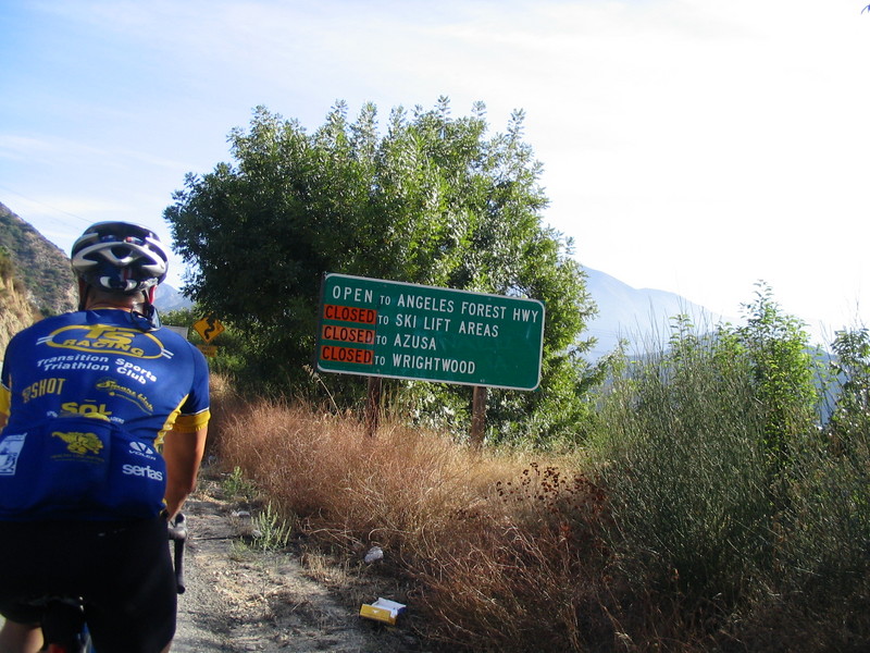
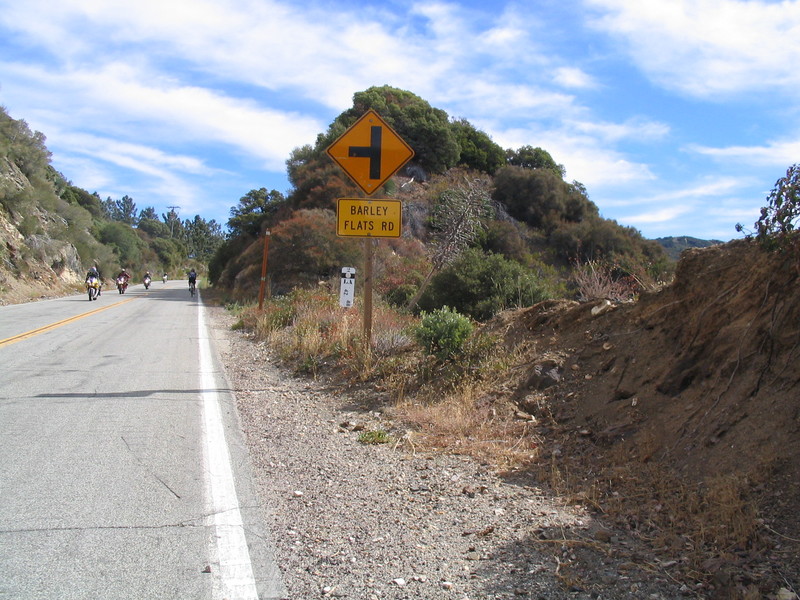
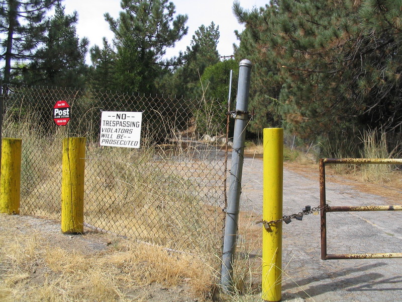
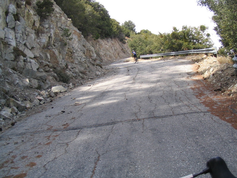
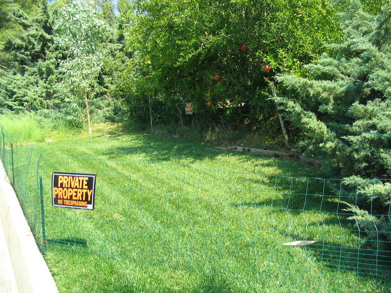
Then, we continued on to get to Barley Flats Road. This is a little turnoff that goes to the old missile launch site. As Gene says, “but it looked flat on the map!” This road was a steep hill, and it just went on and on. It was about half-way up this hill when I said ‘uncle’ and shifted to a lower gear. And to make matters worse, there were flies buzzing around our heads the whole way up. And because it was steep uphill, there was no way to go fast enough to outrun them. Finally, about two miles and 1000 vertical feet later, we came to the Flats and a locked gate with a big “NO TRESPASSING” sign on it. So this was the closest we got to the missile launch pads.
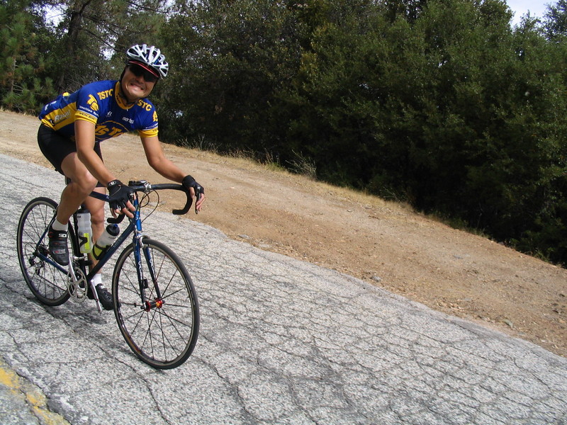
Next, it was time to go back down the big hill we’d just ridden up. Ordinarily, this would be the fun part, but the road was very rough, and littered with rocks and giant pine cones. So it was kind of a harrowing descent. Then, when we got to the bottom, we took Angeles Crest back to Red Box.
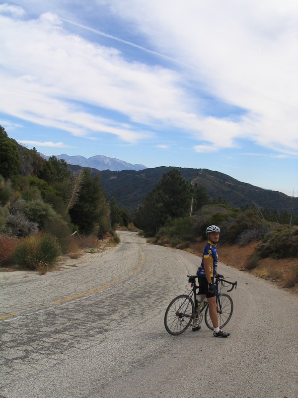
At Red Box, the sign said it was 5,600 feet, but I don’t believe that. If that were so, then it would only be about 400 feet of climbing to get to the top of Mt. Disappointment from there. And that road was two miles of uphill hell. First, we had to climb under a gate to get on the road. Then it was steep and littered with rocks. It was about two miles to get up the mountain, and I used my lowest gear the whole way.
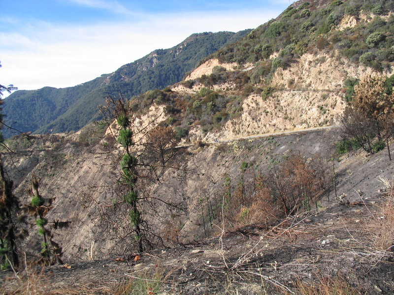
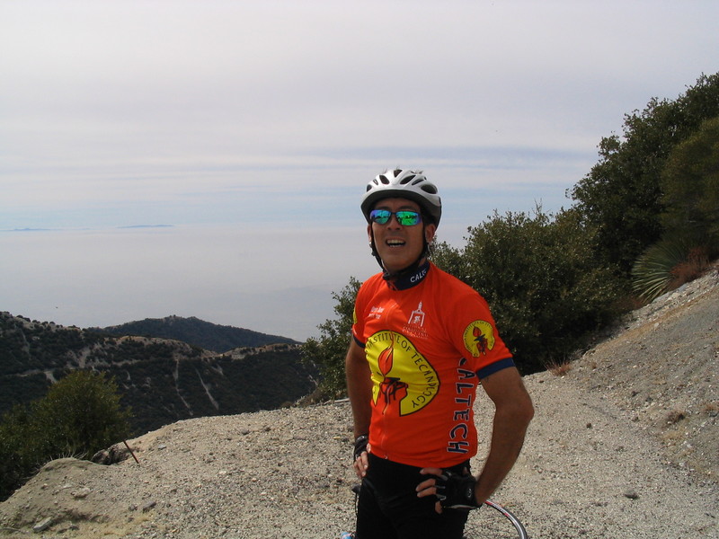
Mt Disappointment was the radar and command post for the Barley Flats missile site. There are the foundations of some buildings just below the summit, and some large concrete pads at the top where the radars were. But the whole thing is used for radio relay equipment now.
There is a small flat spot just before the final pitch to the summit. When I got there, James was sitting down and resting. I said something like, “we’re almost there and we can’t have come this far and not make the summit”. And I headed up the final steep hill. About half-way up, I had to stop and lie down. I was just fried. We rested a bit before tackling the final hundred yards to the top. When we got there, I finished my water and James gave me the last of his Gatorade. It wasn’t a hot day, but I was getting dehydration cramps on the last part of the hill.
After a brief rest and sightseeing at the top of the mountain, we headed back down. Again, it was a tricky descent, with big rocks all over the road. When we got back to Red Box, I refilled my water bottle. Then we headed for home.
After the long descent down to Colby Canyon, we had to do a short climb up to Clear Creek. This was hell. My legs were cramping the whole way, so I had to go slowly. But when we got to the Clear Creek ranger station, we knew it was literally downhill all the way home.
The descent on Angeles Crest is nice. The road is pretty good, and it’s enough of a grade that it’s a pleasant downhill without being scary. It’s 9 miles down to Foothill Blvd, and we didn’t have to pedal at all for that whole distance.
The last part of the ride was back home across Pasadena. James said that his bike computer estimated that he’d burned something like 5,000 calories. When I got home, I immediately ate all the leftovers in the refrigerator.
It was a nice ride, but it turned out to be much harder than I’d expected.
66 miles and about 7,000 feet of climbing.
cycling