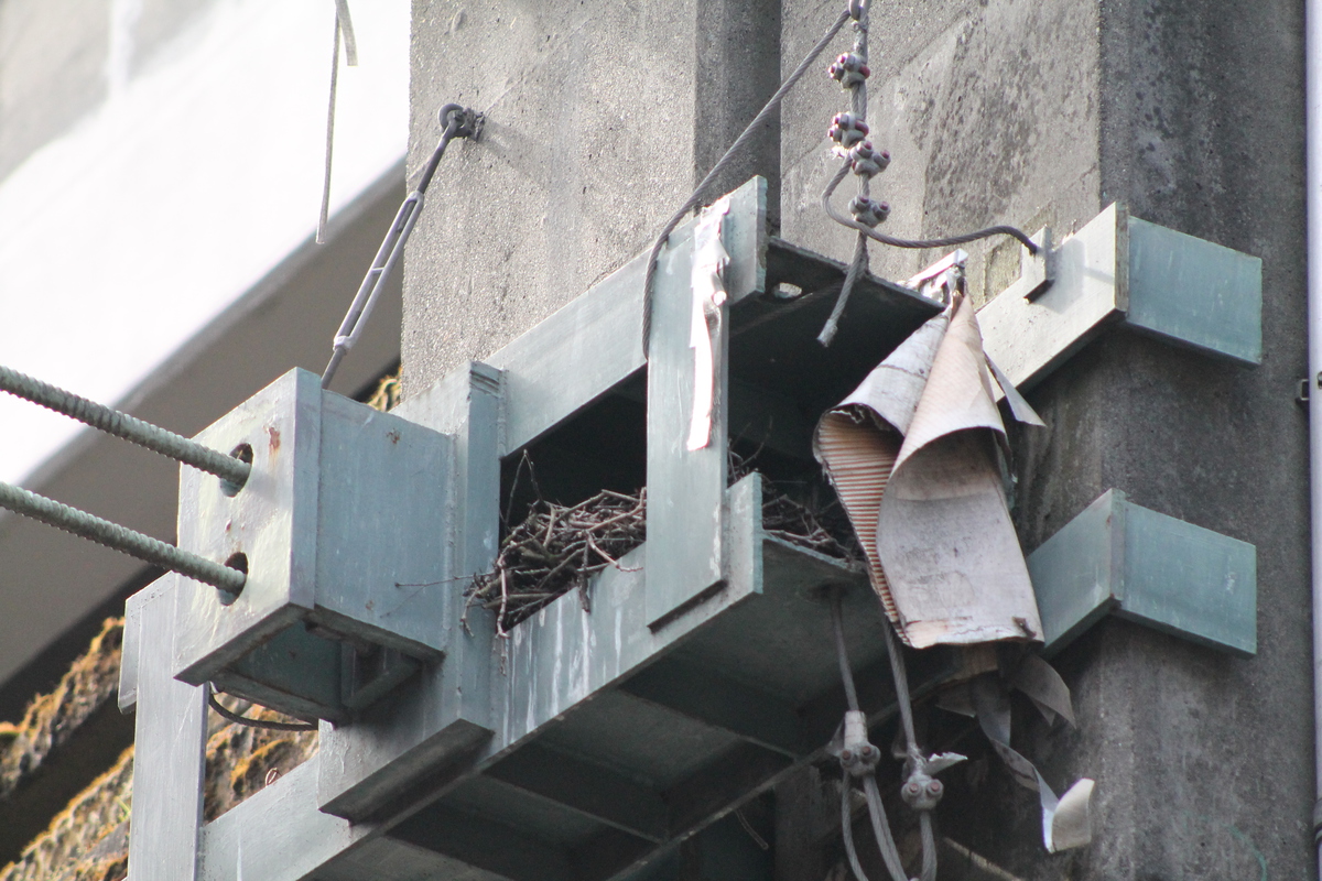
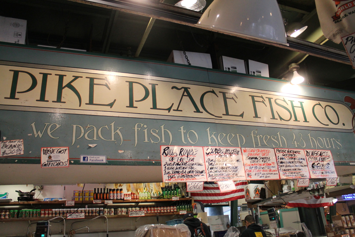
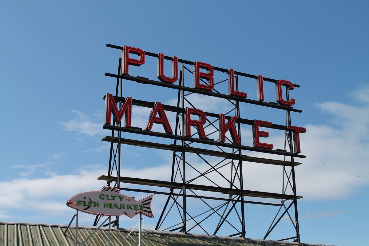
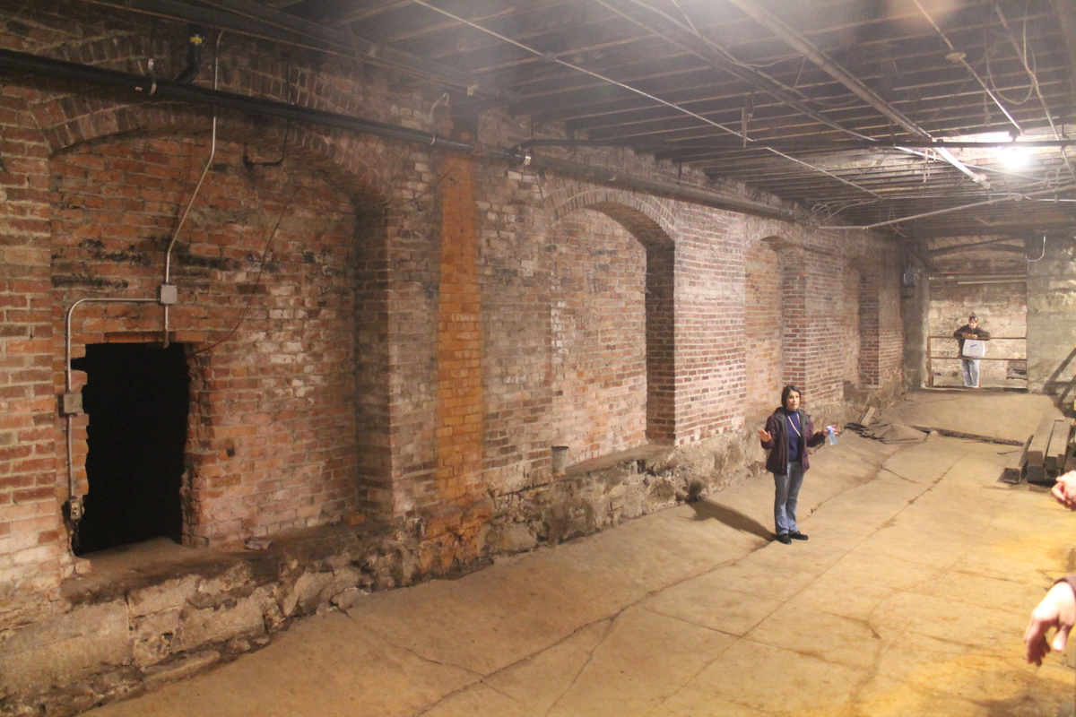
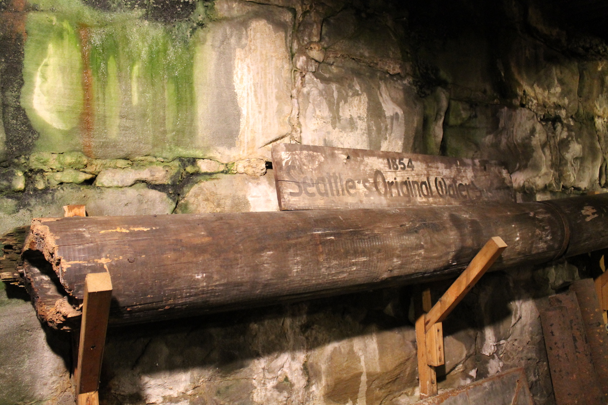
Climbing the tower
 |
 |
 |
 |
 |
 |
 |
 |
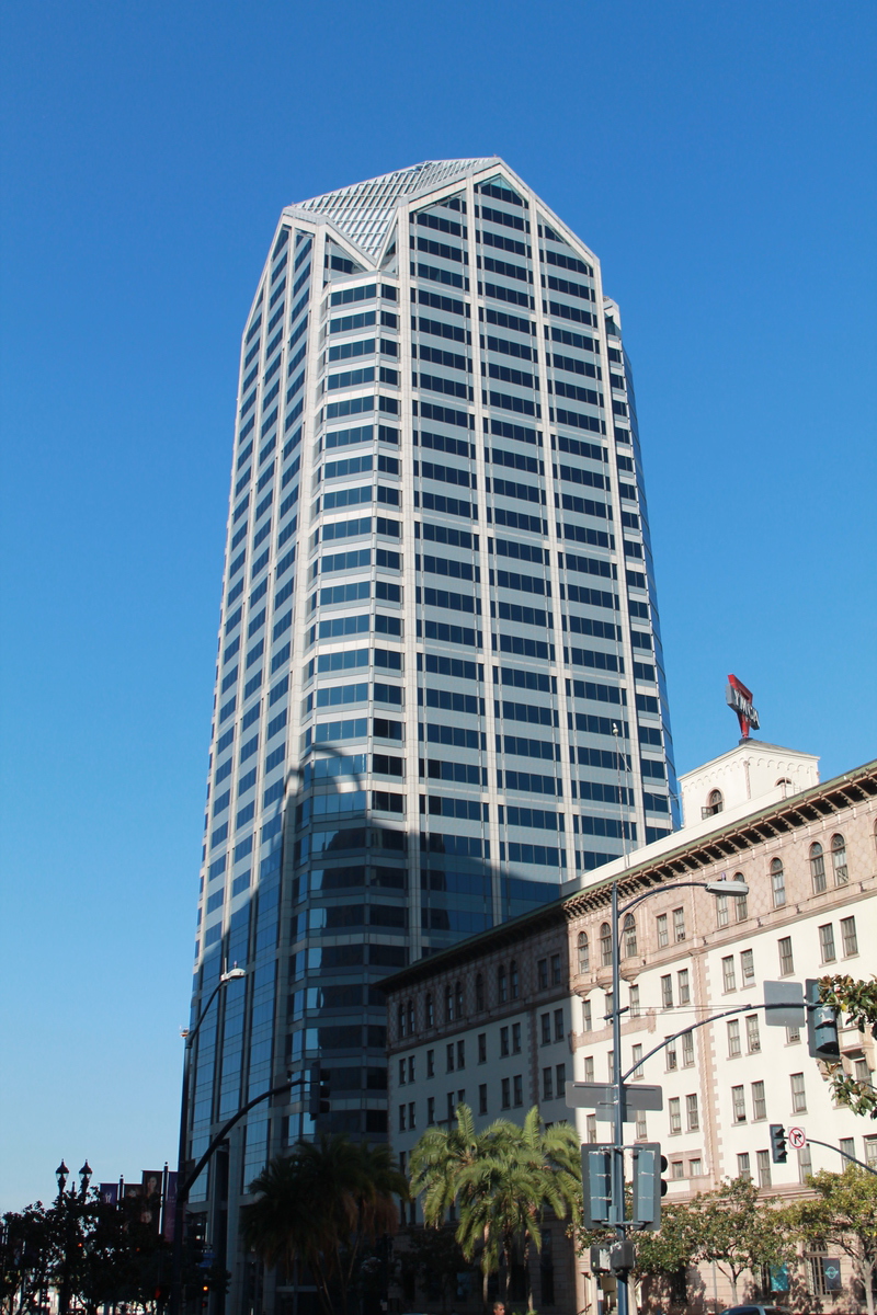
Sunday was the big day. We got up early and got dressed to climb lots of stairs. We walked over to the building from our hotel. When we got there, we met up with our group and got ready to go. This event is very well-run. It has to be, since they have something like 6,000 people doing it. We went off in the first group to go up, which was nice, since it meant that the stairwell was relatively clear. Pretty much everyone in front of me was going faster, so I really didn’t see anyone on the way up, aside from a few people who passed me. As I’ve been doing, I didn’t go particularly fast. But I maintained a steady pace, and I didn’t stop. I figure there’s no point stopping. There’s no scenery to look at in a stairwell. So I just kept going until I got to the top.
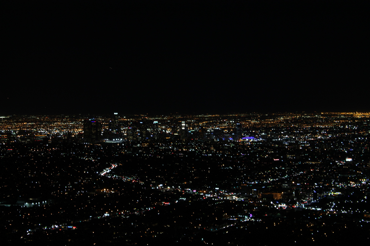
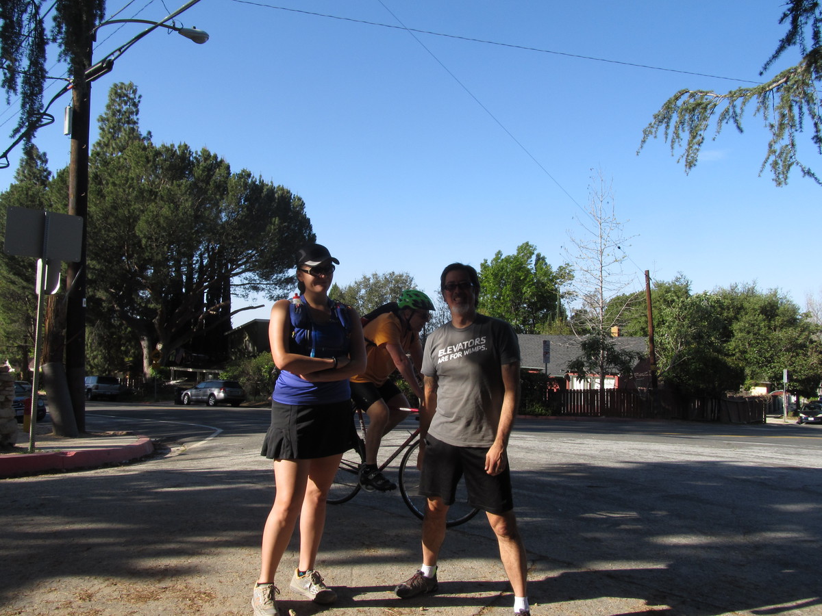
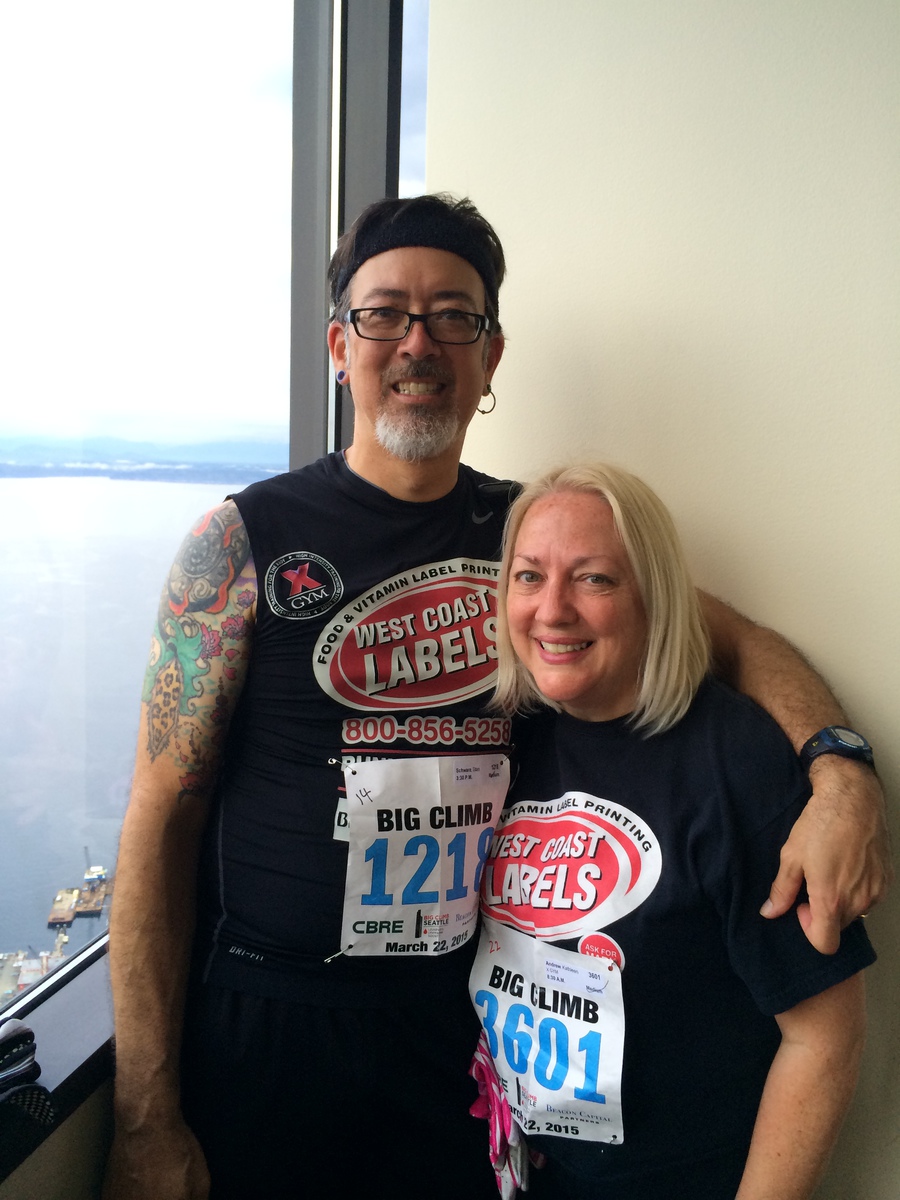
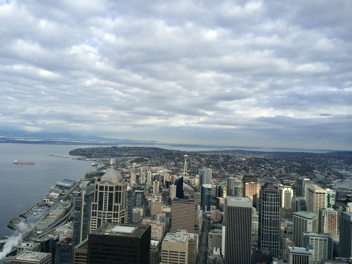
When I got to the top, I walked around and looked at the views. This is one of the few races where we come out in an observation deck level in the building, so there are views to look at on all sides. So I just hung out there until Kathleen came out of the stairs. Then we took a picture together before heading back down.
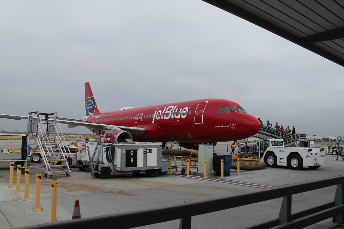
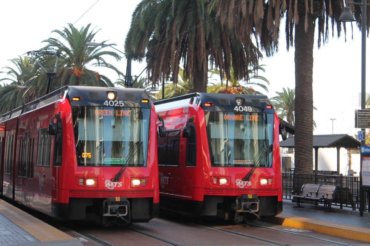
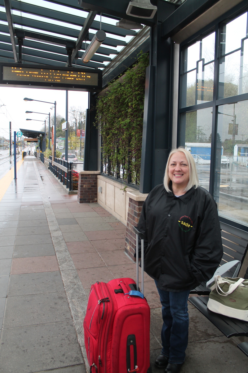
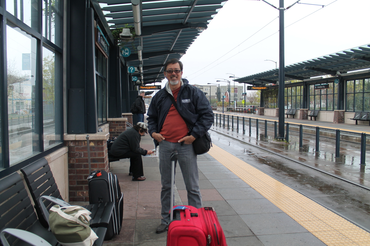
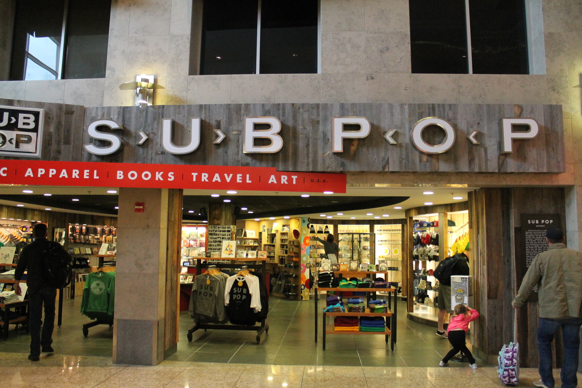
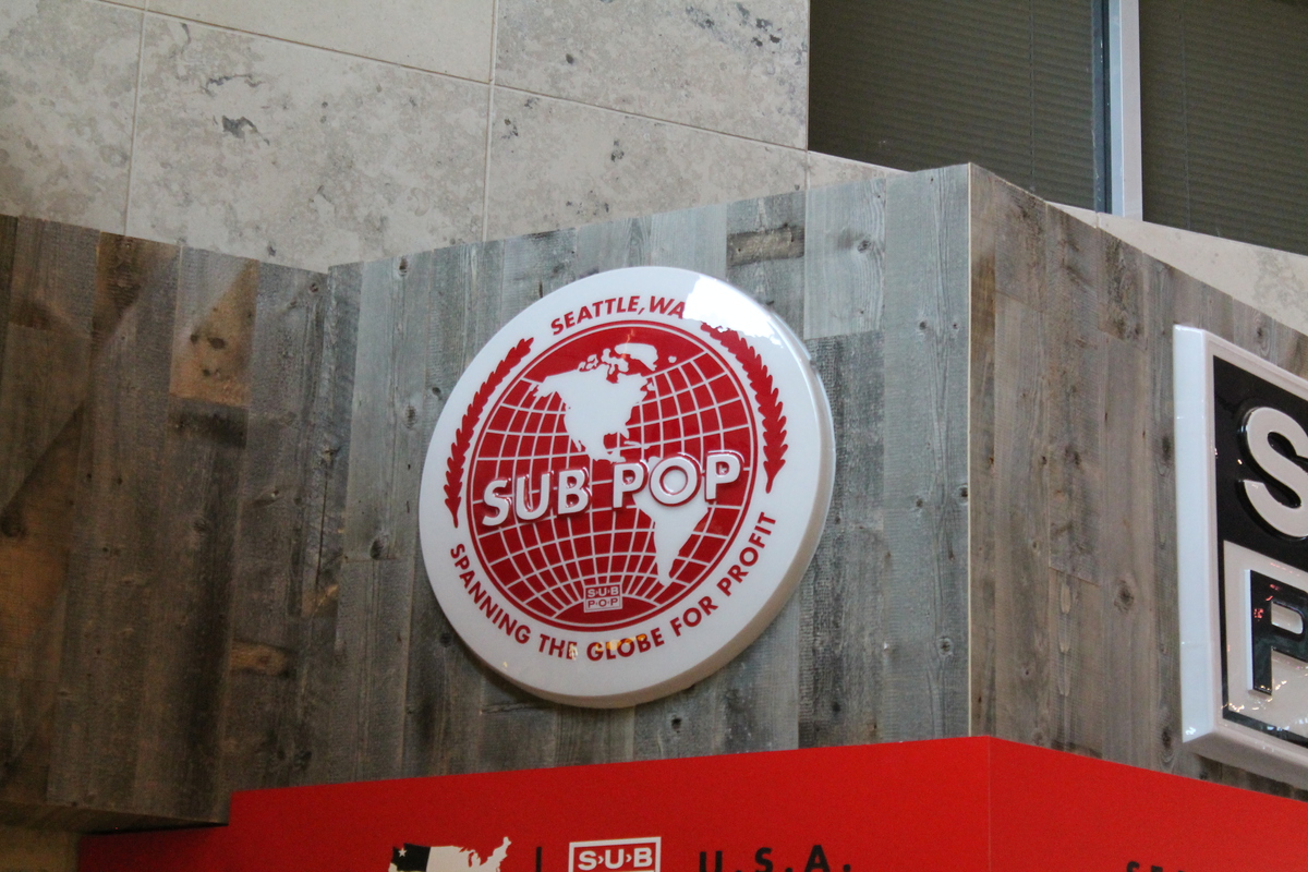
At the bottom, we didn’t hang out for very long. We had to get back to our hotel to get cleaned up and checked out. And then we were going to meet my cousin Irene for lunch before heading back to the airport. We rode the train to near where she lives, and then we went to lunch from there. Afterward, we got back on the train for the short ride to the airport. When we got there, we went looking for some food we could get to bring aboard with us, since it was going to be dinnertime when we were in the air. In the process of scouting out the SeaTac airport, I was very amused to see that Sub Pop had a store there. Overall, it was a fun trip.
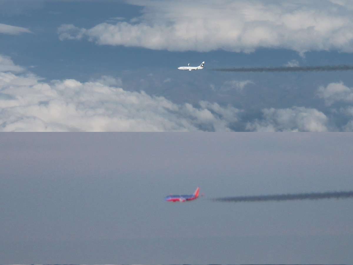
One thing I thought was a bit odd, though. On the way back, at least four times, we passed very close by other airplanes flying the other way at nearly the same altitude as us. I thought it was unusual for air traffic to pass close enough that we could look out the window and recognize the airline flying by.