Mt Lowe
 |
 |
 |
 |
 |
 |
 |
 |
 |
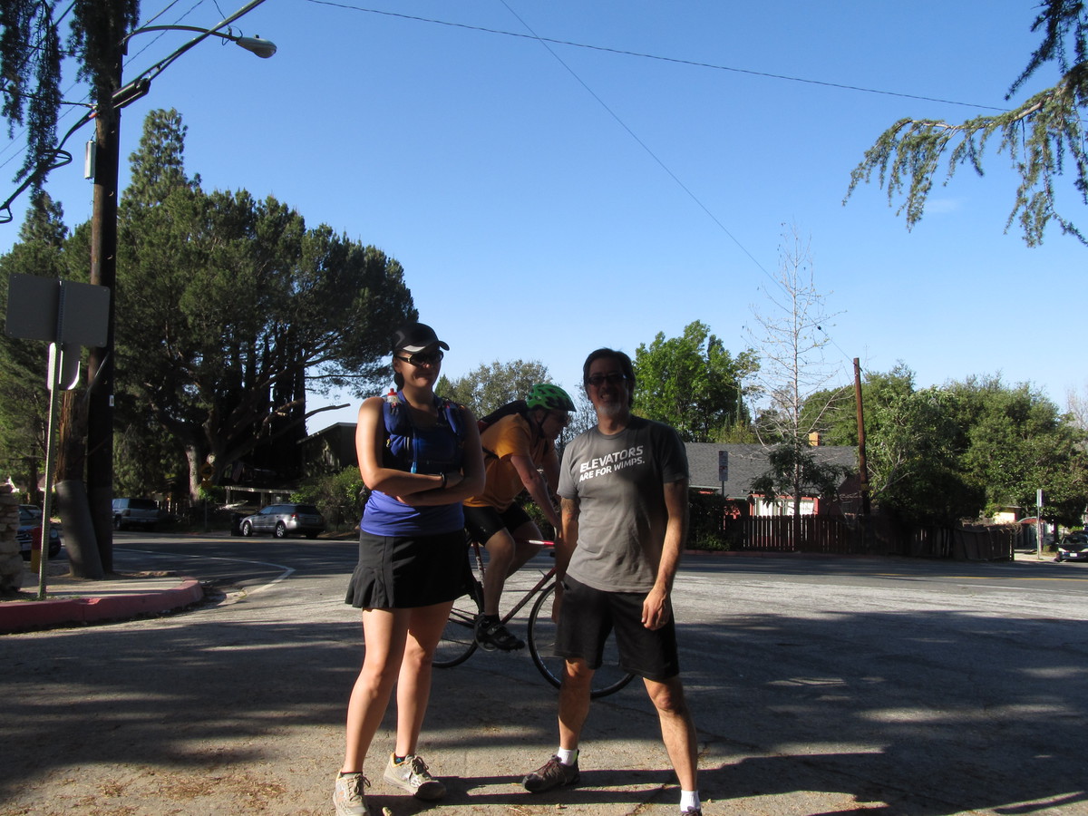
I’ve been wanting to hike to the actual summit of Mt. Lowe for some time. I did it once, back in about 1985 or so, but that time, we started at Eaton Saddle, over by Mt. Wilson, so it was a very easy hike. This time, we were going to do it the harder way, starting at Lake Ave in Pasadena. Still, it turned out to be quite a bit harder than I’d anticipated.
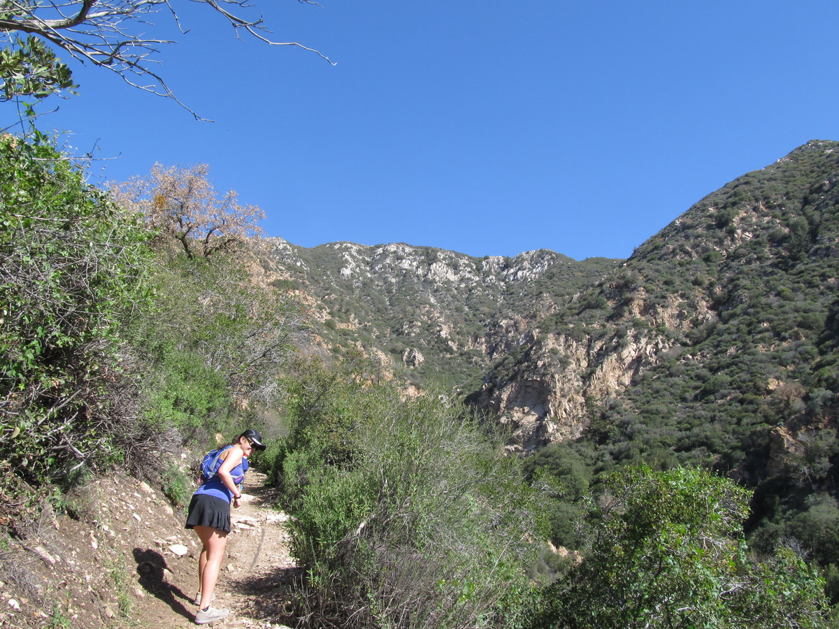
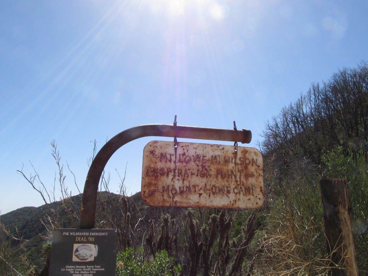
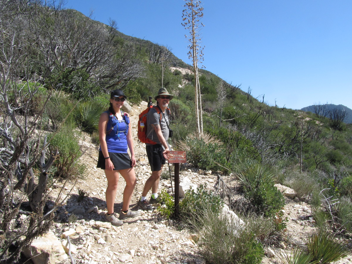
The hike up to Echo Mountain was pretty easy. We’ve done that plenty of times before, and there’s not much to it. From there, we headed up the Castle Canyon trail to Inspiration Point. I’ve only done that once before, so I didn’t remember much about it. I didn’t remember that the hike from Echo Mountain to Inspiration Point is actually a bit harder than the hike to Echo Mountain. And it’s really quite steep at the end. But we made it just fine, and spent a few minutes looking at the view from up there before continuing on to Mt Lowe.
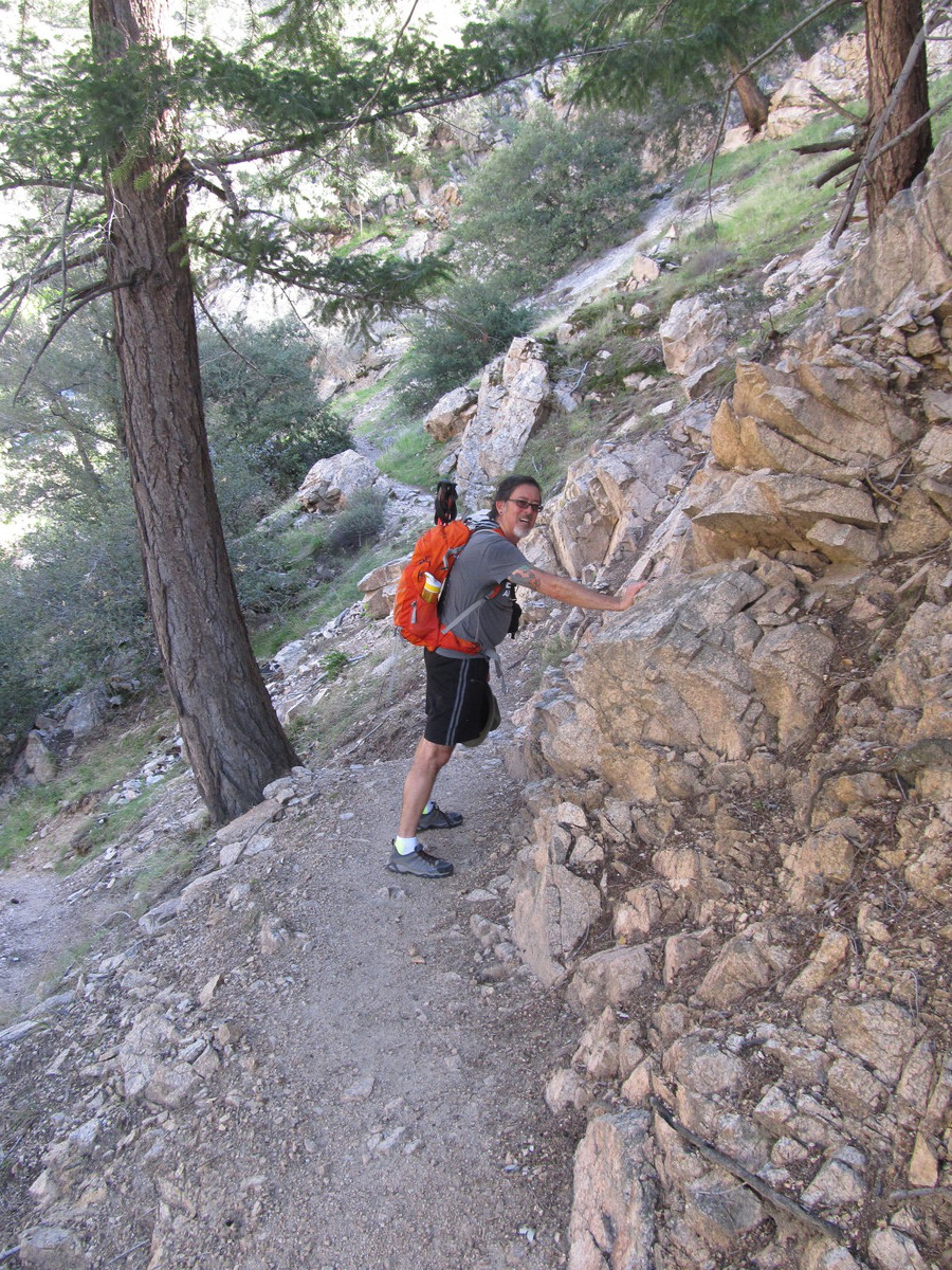
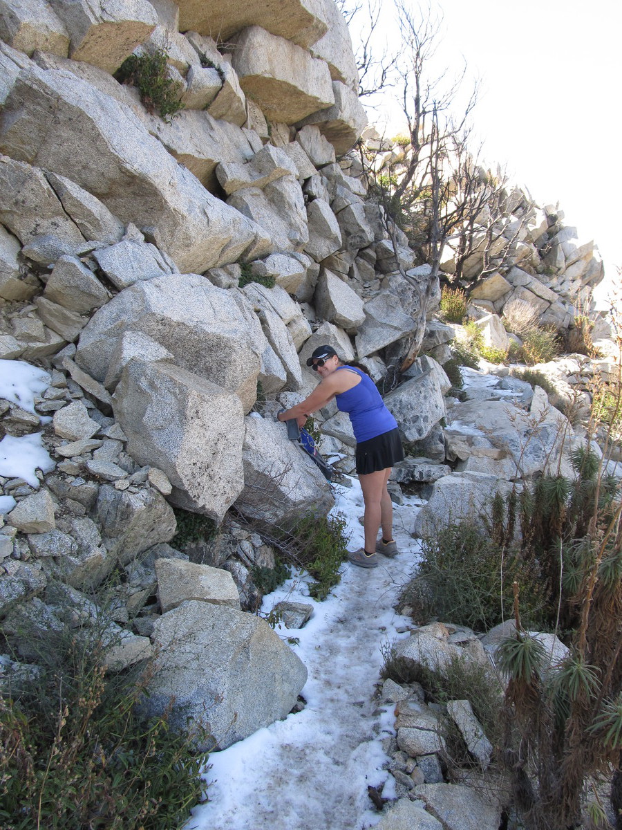
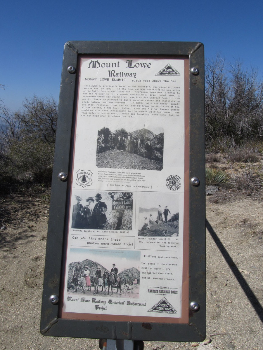
According to the map, it’s about 1 3/4 miles from Inspiration Point to the top of Mt Lowe. And as it turned out, it was reasonably steep, too. The trail wraps around the north side of the mountain, and there was even some snow on the trail there. But when we got to the top, there was a bench to sit on, and a very nice view in all directions. Looking down into the valley, I could see the Caltech campus, so the net time I’m stair-climbing at Millikan Library, I’ll have to take a minute to look up and see which peak is Mt Lowe.
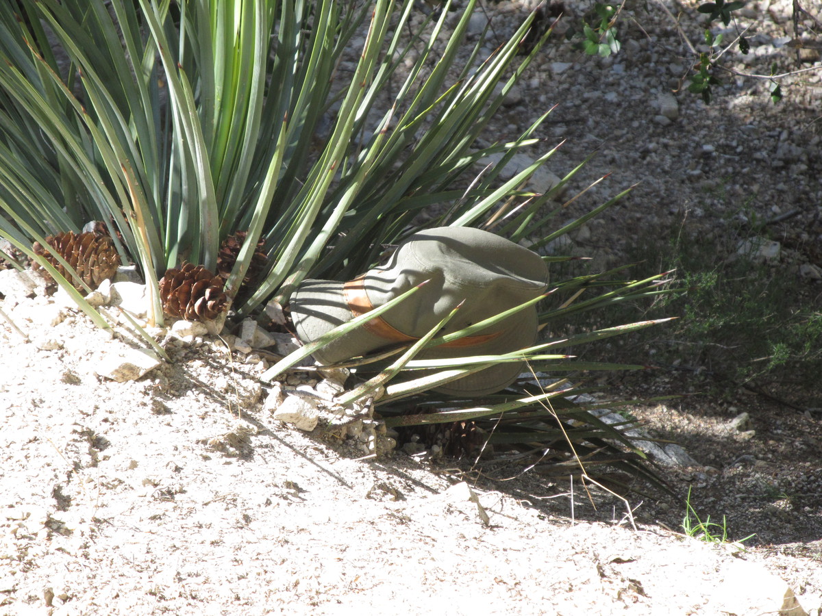
On the way down, I fell once. It was the usual thing of slipping on some sand on a steep part of the trail. But this time, after slipping just about a foot, my foot caught on a rock, and I ended up rolling forwards. For a brief moment, I thought I might end up rolling down the hill, but I was able to stop the roll and avoid going over the edge of the steep slope. Still, my hat came off and rolled down the slope, where it ended up impaled on a yucca plant. I had to walk down to the next switchback, which was below the yucca plant, and then I was able to climb up on a tree and rescue my hat by knocking it loose with one of the hiking poles. Sheesh. But I figured that Indiana Jones never left his hat behind, either.
When we got back down, we had 12 1/2 miles, and I know I’m going to be sore from this. Here’s the route map and the elevation profile.
http://1134.ddns.net/routemap.php?xmlfile=MtLowe

