Chicago 2014
 |
 |
 |
 |
 |
 |
 |
 |
 |
 |
 |
 |
 |
This weekend was our yearly trip to Chicago to visit, play tourist, and to climb the stairs up the Sears Willis Tower. After the ordeal we had last year on this trip, we were hoping that things would go smoother this time. Last time, our trip out was delayed a day by the shootings at LAX, so the odds seemed to be in our favor this time. We got to the airport at about 9:45 for our 11:05 flight, and everything seemed all right. But almost immediately, they said that the flight was delayed to 12:15. And a little while later, that was pushed back to 1:20. So we had some lunch and waited some more.
The next time I checked, our flight was listed as ‘Canceled’. It was about this time that we started to hear talk of bad weather in Chicago, and that air traffic bound there from all over the country was being delayed. I went to one of the check-in kiosks to see what I could find out. It told me that we’d been rescheduled for a new flight at 3:41. So that didn’t seem too bad. It was about this time that I finished reading the book I’d brought along. And since we weren’t going anywhere any time soon, I went looking for something else to read. I picked up a copy of The Martian and started reading it.
When it came time to get on the airplane, as soon as we were all aboard, they said that we were going to be delayed another hour, and that if we wanted to, we could get off and walk around some. But soon after that, they announced that we were going to push back from the gate. We weren’t leaving. But they needed the gate for another flight coming in. So we got to sit in the airplane for about an our, parked out on the taxiway. I was glad that I’d found an entertaining book to read, otherwise the waiting would have been even worse.
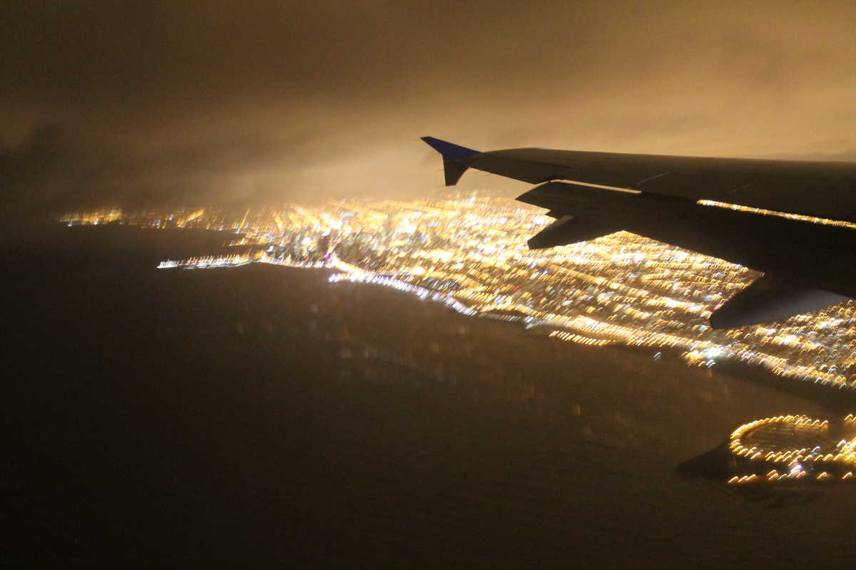
We finally got under way at about 5:30. The flight was pretty uneventful, and we got to Chicago at about 11:45 Friday night. By now, it was far too late to go for dinner, and almost everything in the airport was closed. So we walked over to the Airport Hilton, where they had a bar and restaurant still open. We stayed there for a short time, and then rode the train to our hotel.
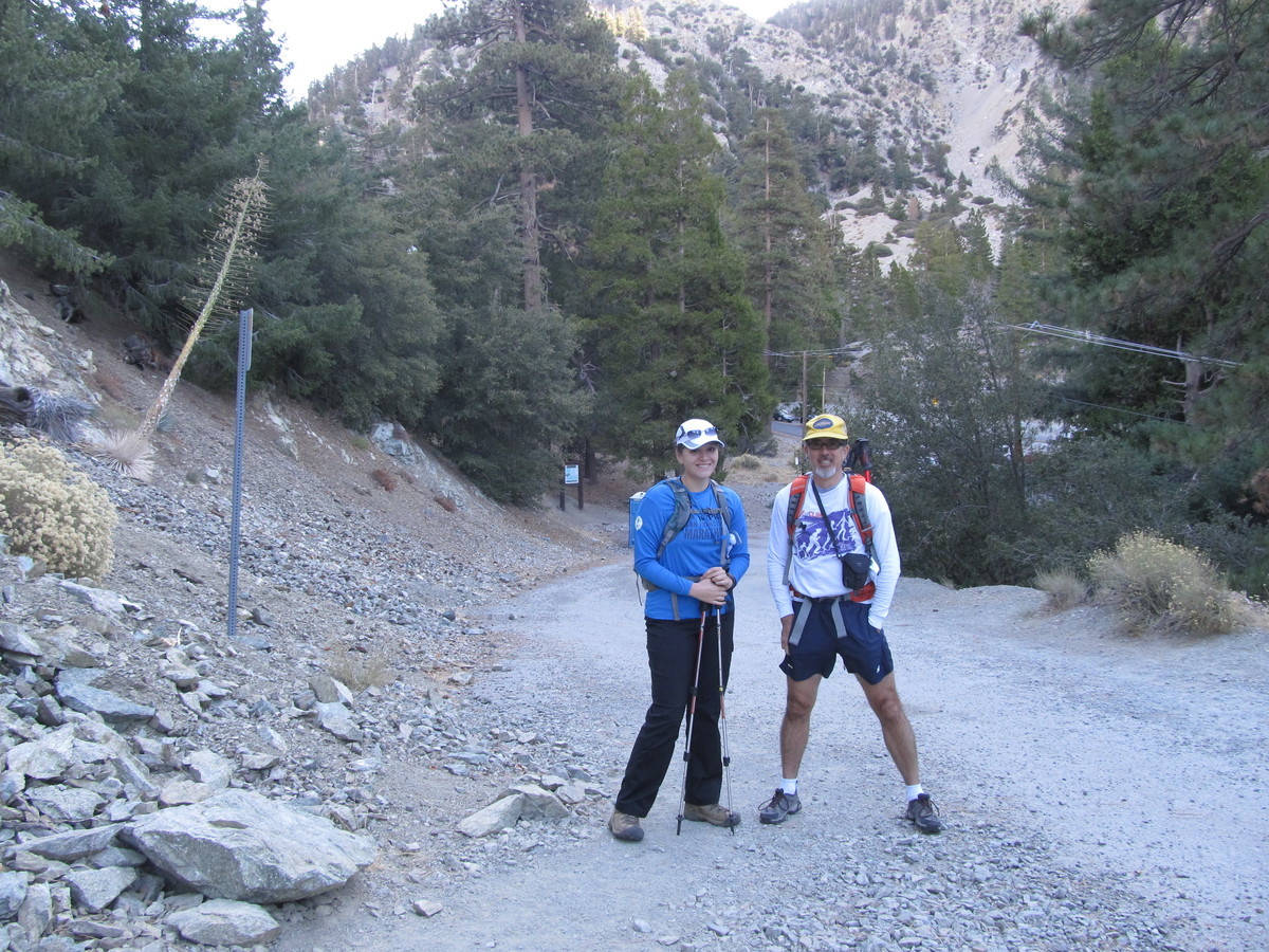
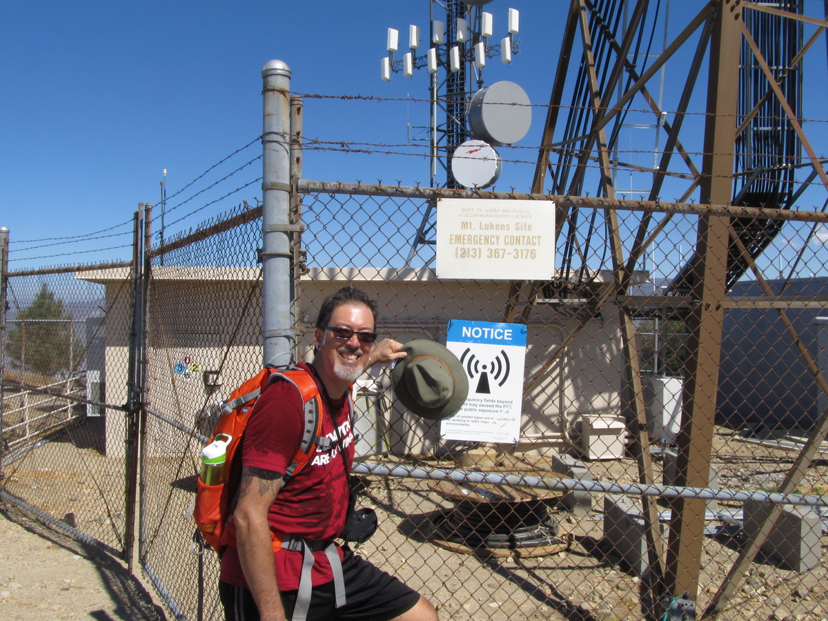
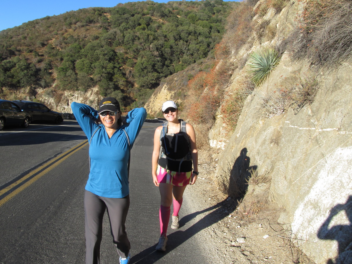
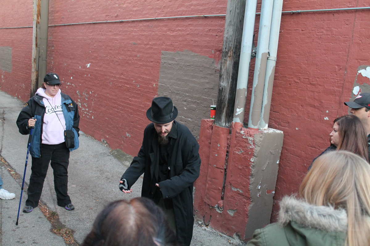
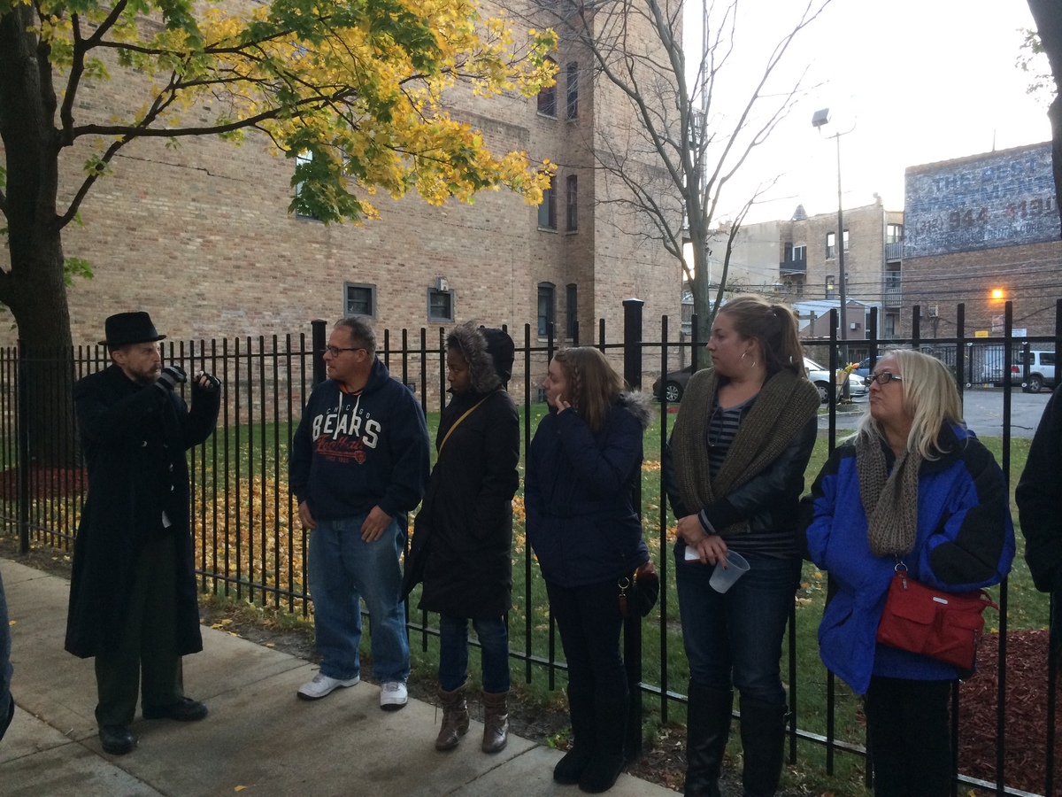
Saturday morning, we went downstairs and got breakfast. Then we rode the train downtown to pick up our race packets at the Sears Willis Tower. And after that, we had to immediately head over to the Weird Chicago tour we’d signed up for. It was three hours on a bus, traveling around the city, visiting sites significant to the city’s Mob history. It made a nice companion piece to the time we went to the Mob Museum in Las Vegas. After the tour, we got on the train and headed over to the West Loop neighborhood to meet up with all our stair climbing friends for dinner.
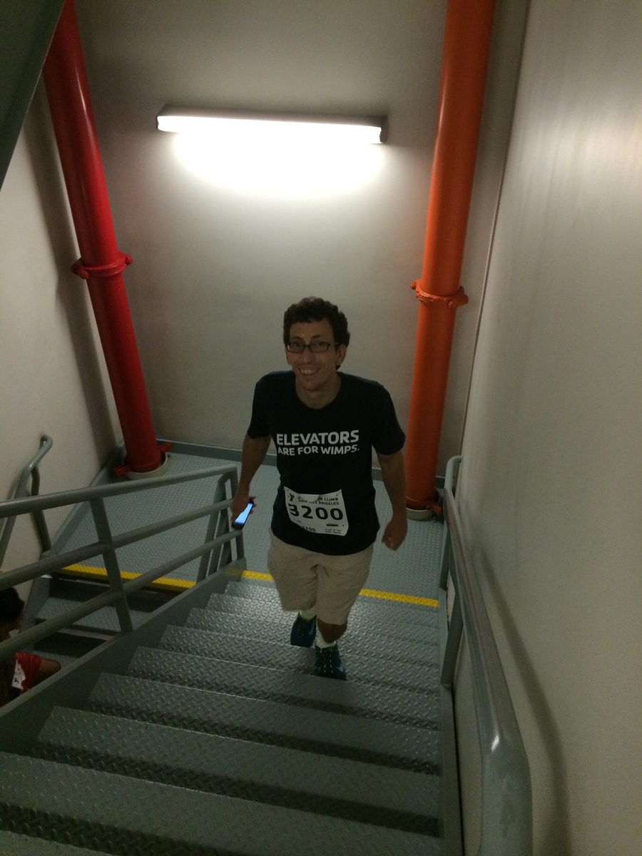
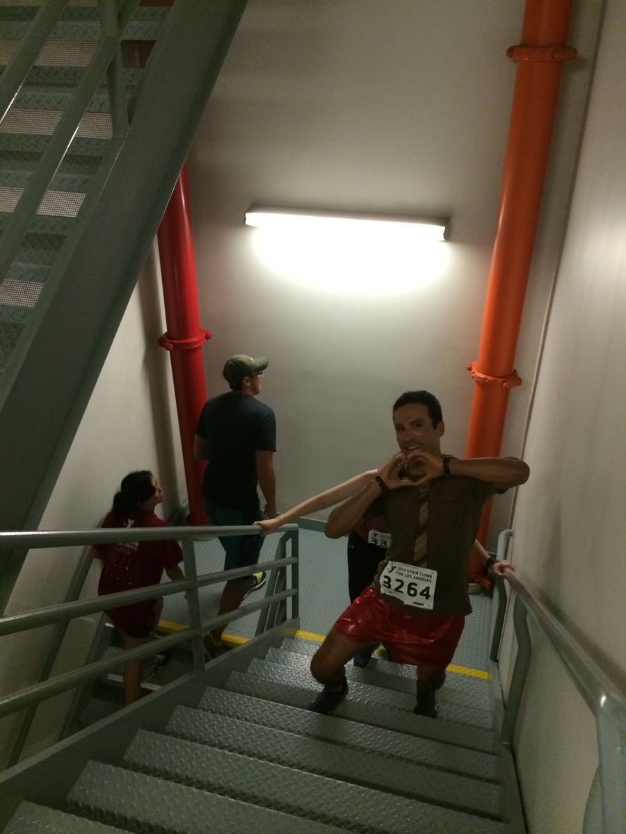
On Sunday morning, we got up bright and early and headed downtown. We got to the building at about 8:15, and I got right in line to climb. There was kind of a lot of traffic in the stairwell. On several occasions, I had to push through groups of people. There were a few people who were climbing who were obviously handicapped, using canes and such. For them, I went around the outside. But they were going slow enough that going around wasn’t a big problem. For everyone else, I just pushed through, up the inside railing.
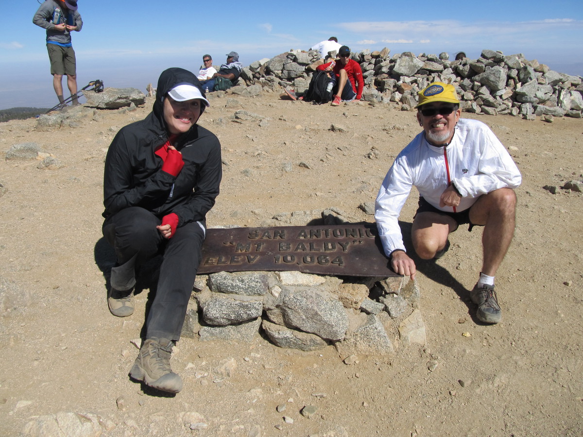
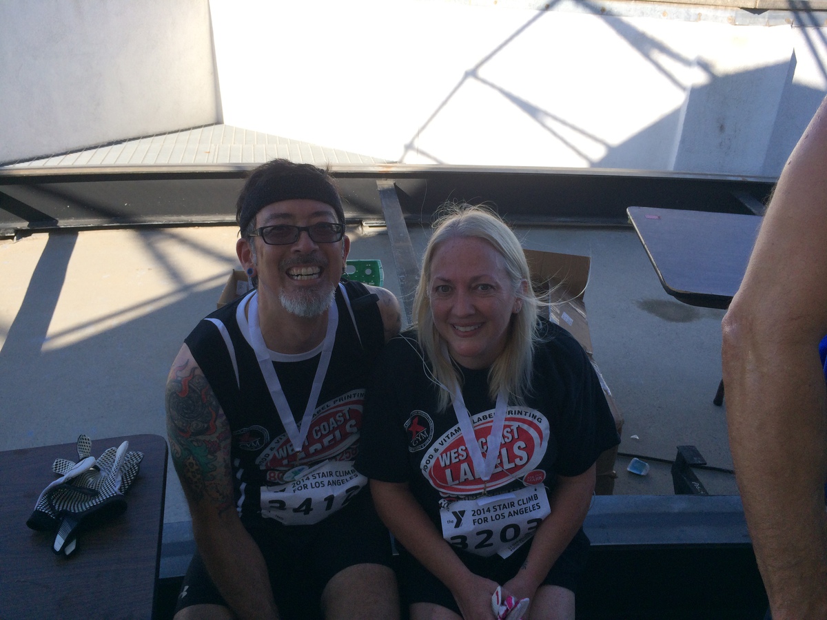
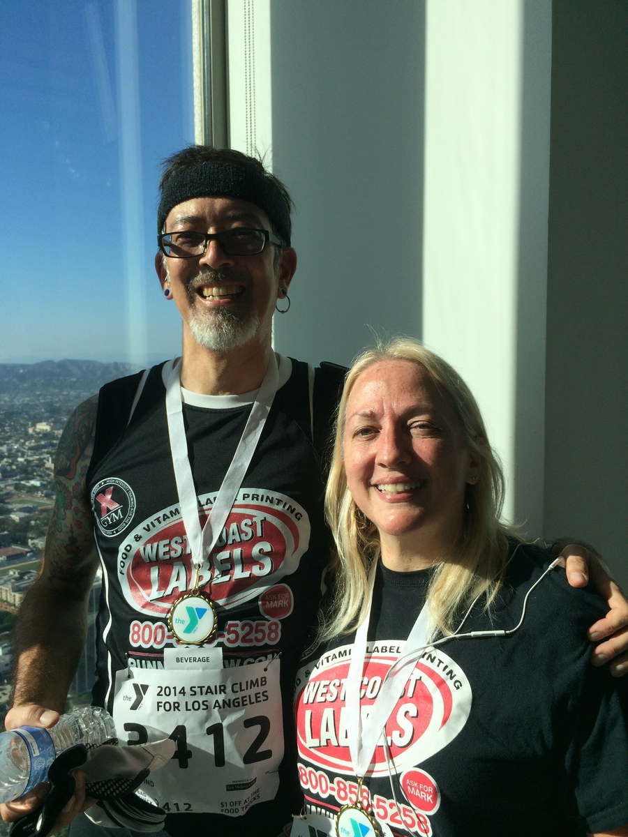
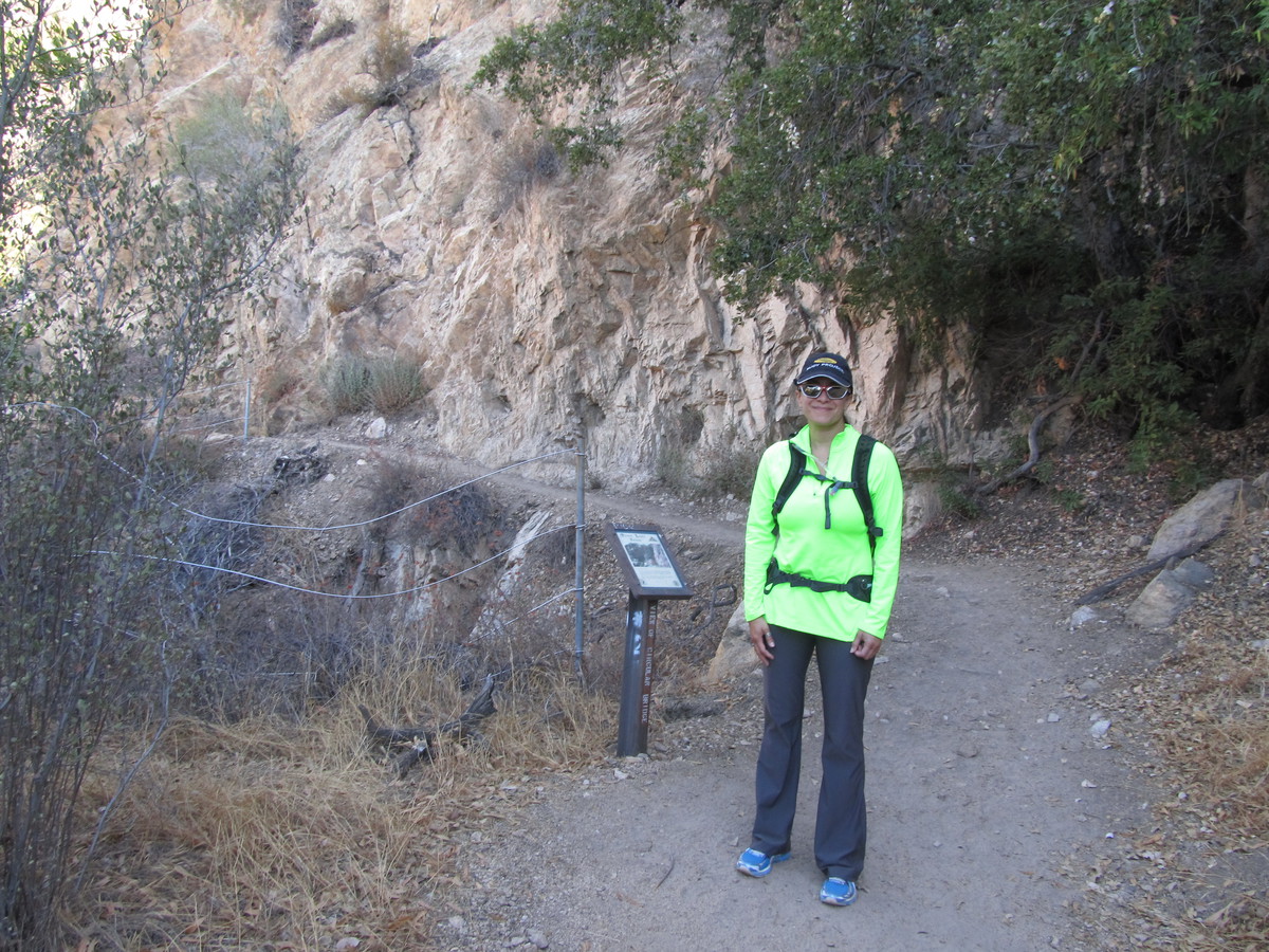
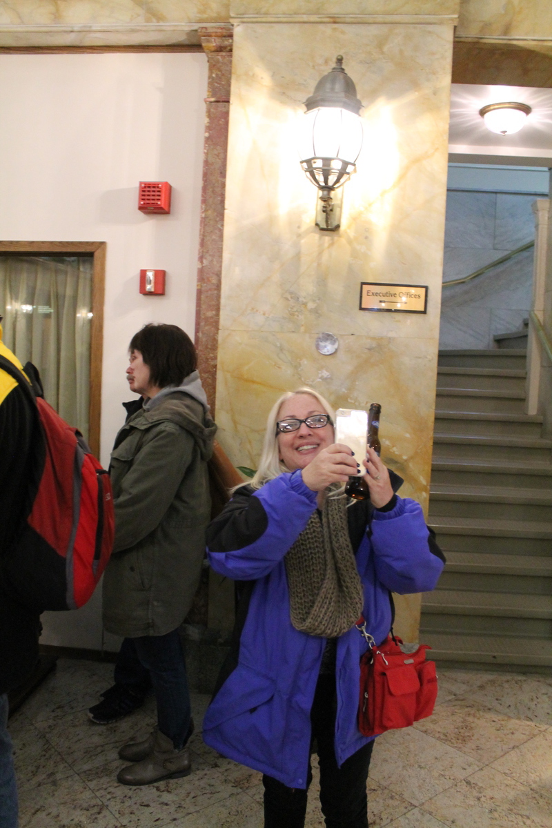
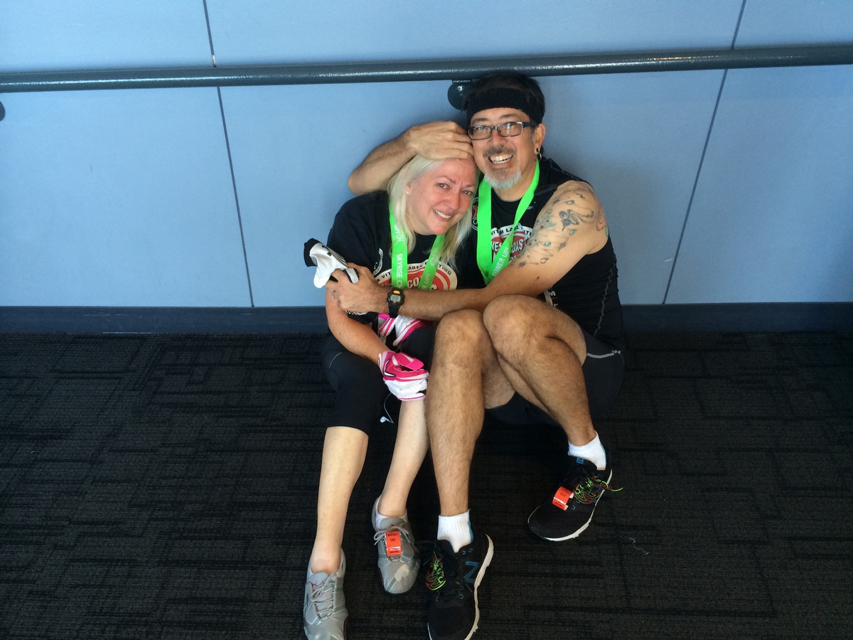
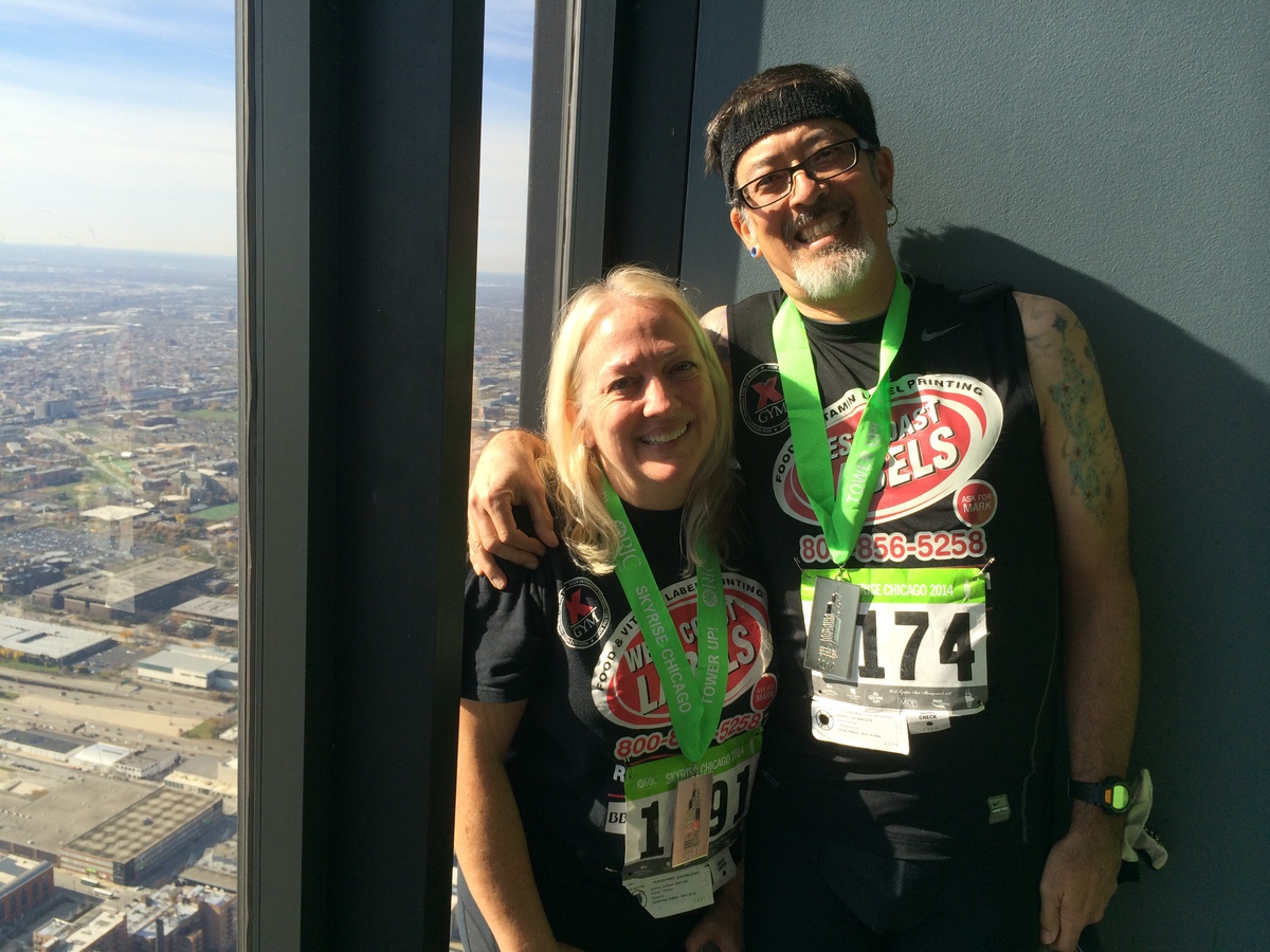
I managed to maintain my target pace of five floors per minute up to about 65 or so. Then I started to slow down a bit. In the end, I made it to the top in 23:10. Not blazing fast, but not bad, either. That works out to something like 4.6 floors per minutes average. It was pretty close. I was originally planning on going back down and walking up with Kathleen, but my knee was not feeling good, so I just sent her a message that I’d just stay at the top until she got there. I took a guess at when she’d get there, and I made a point to go over near the door then. And when she came out, she started crying. It was a hard climb. The stairs there are steeper than most normal office building stairs, and psychologically, that’s hard. But she perked up pretty fast. We went around and looked at the view, and we got our picture taken on the south side of the building, where the sun came in. That way, we could get a picture of us with the view, but without us being just silhouettes against the window. Most of the time, when people try and take those pictures, it ends up looking like Witness Protection climbed the tower.
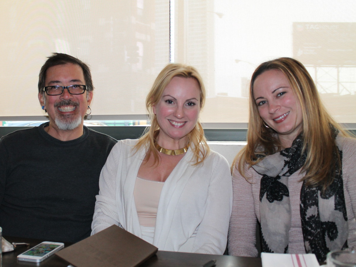
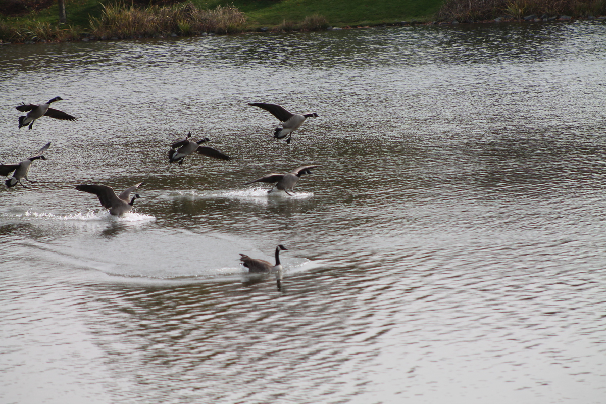
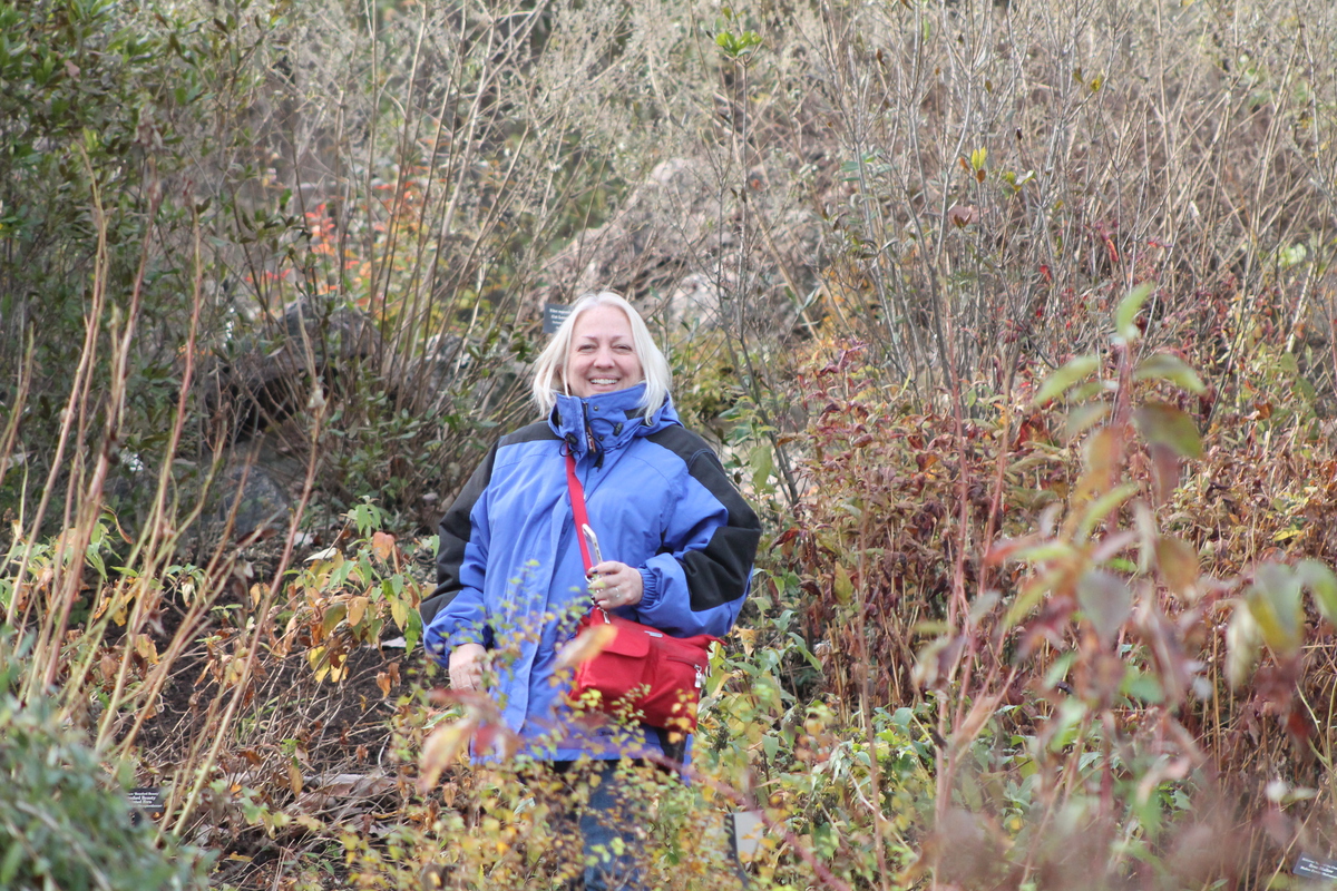
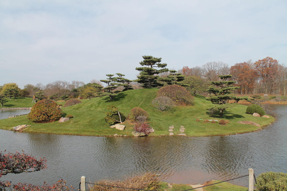
After the climb, we went back to our hotel and got cleaned up. After that, we went back downtown to meet up with my old friend Laura. She’s in the restaurant business and recently moved to Chicago to oversee the setup and opening of the restaurants in the soon-to-be-opened Virgin Hotel there. We had a nice lunch, and after that, we went to Union Station to get the train to Libertyville to visit Kathleen’s aunt and uncle there. We spent the night at their house, and we all went to the Chicago Botanic Garden the next day. And after that, they dropped us off at O’Hare for our flight home.
Our flight home was not delayed like Friday’s flight out. In fact, the delay coming back was only about an hour or so. Still delayed, but nowhere near as much as on Friday. So all told, it was a fun trip, aside from the actual traveling part. And yes, I liked The Martian. It’s not that often I chew through a 350+ page book in under 24 hours.