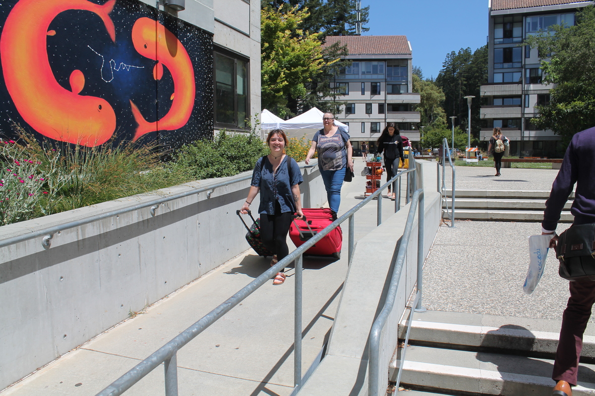
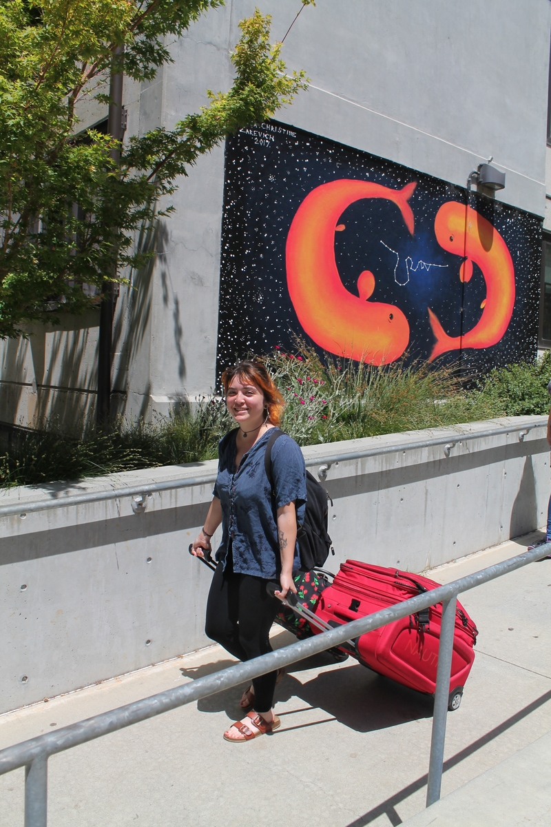
Last September, we took a trip to Santa Cruz to move Lucinda into her new home-away-from-home at UC Santa Cruz. And today was the other bookend for that experience.
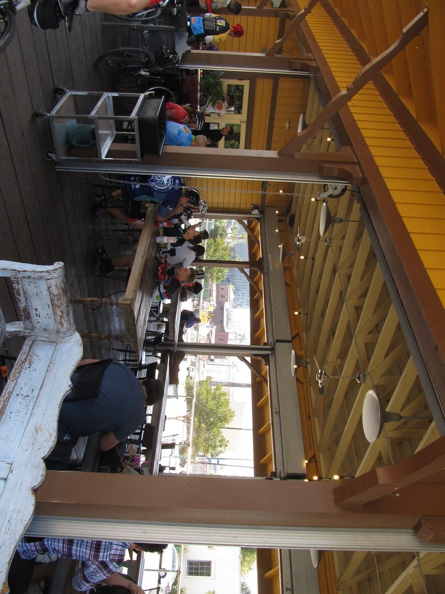
A couple weeks ago, Lucinda asked if I would come to Santa Cruz to help her move out and bring her home. At first I thought this would make for a grueling day or two days, but at the same time, I realized it was an opportunity to spend a day with her. As she’s growing up, opportunities for things like that become more rare. So I worked out a plan. I would fly to San Jose in the morning, and then rent a car there. I was able to set it up with Hertz that I could rent the car at San Jose Airport, and then bring it back the next day to their office in Pasadena. So the plan was to pick up the car and drive it over the hill to Santa Cruz. Then we loaded up all her stuff into the car. We stopped off in downtown Santa Cruz for lunch, and then we headed for home.
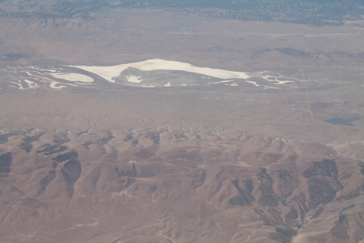
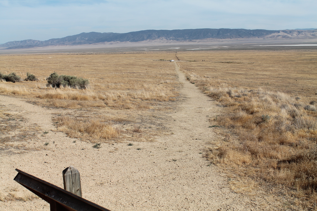
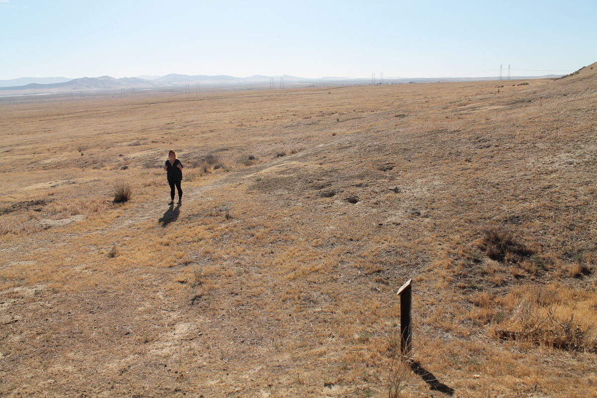
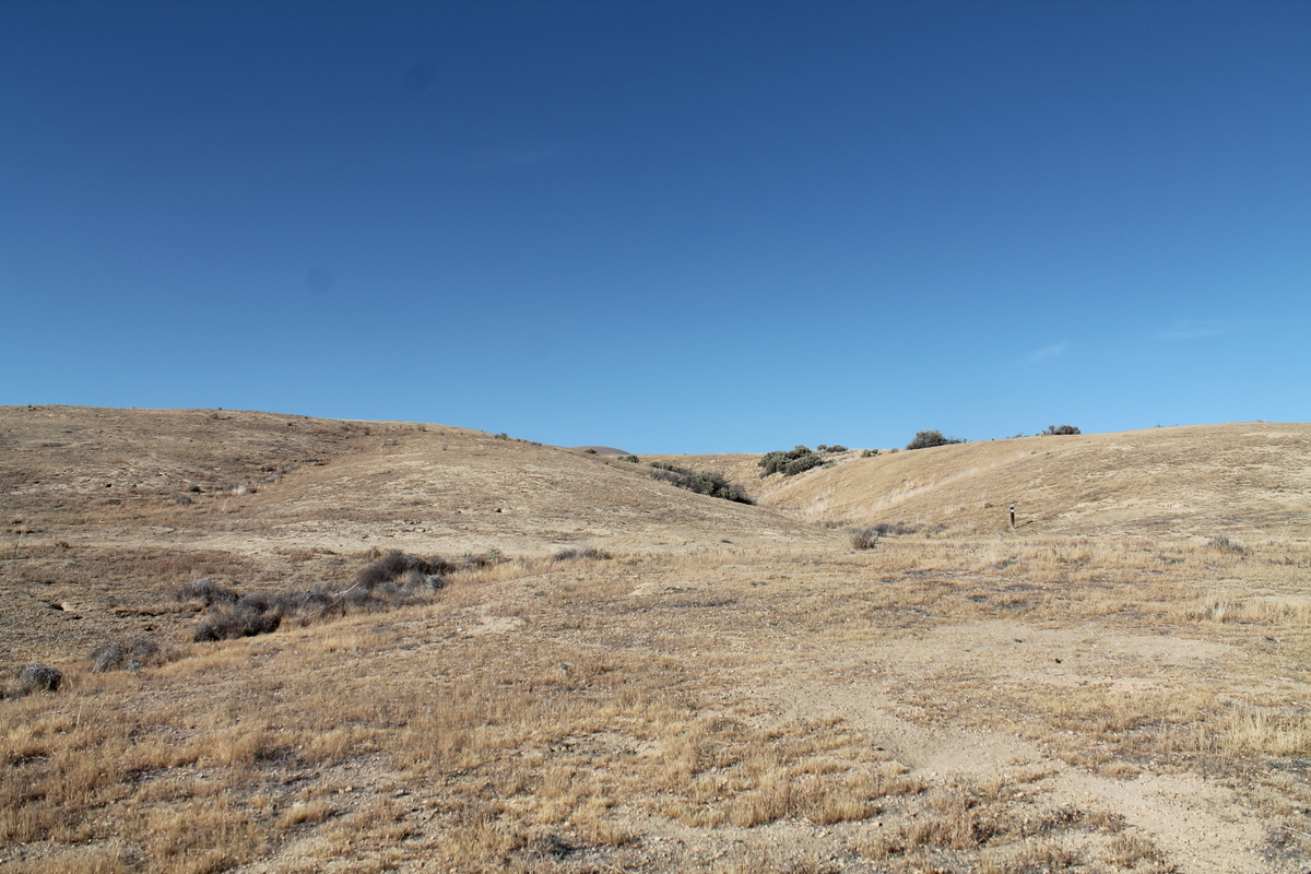
We took the 101 south for a good bit of the trip. We had to take some small roads to pick up the 101 in Prunedale. Then we went south on the 101 for what seemed like forever. Along the way, I told Lucinda that I wanted to take a short side trip to the Carrizo Plain to see Wallace Creek. That’s a very desolate and remote place that is famous among seismologists. To get there, we had to take Highway 58, which I expected to be like Highway 46 that I took home last fall. But no. Highway 46 was divided and almost like a freeway, while Highway 58 was like a narrow, winding country road. We took that for a very long time before we came to the turnoff. That was a small, but well-paved road. But we were only on that for a short distance before we had to turn off onto a small dirt road. At least it was pretty well-graded, so it wasn’t a big deal. But as city people, we’re just not used to be out in the middle of nowhere and being all alone for as far as we could see in any direction.
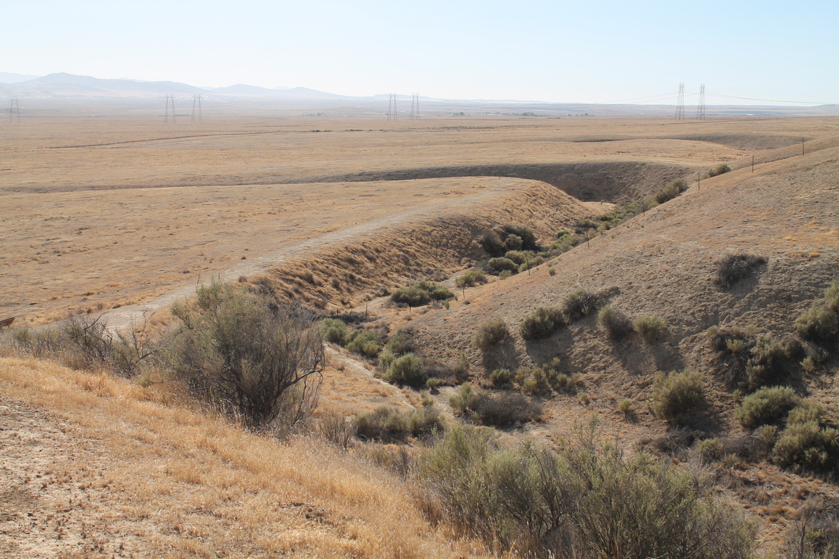
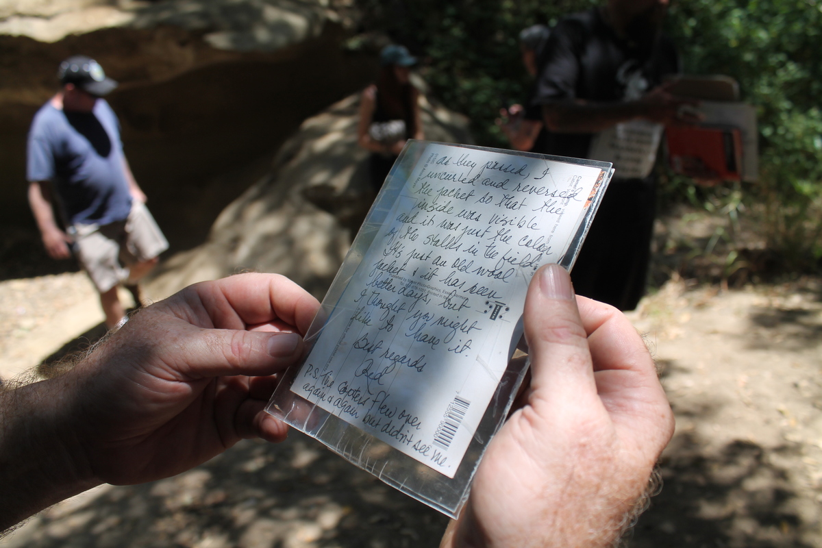
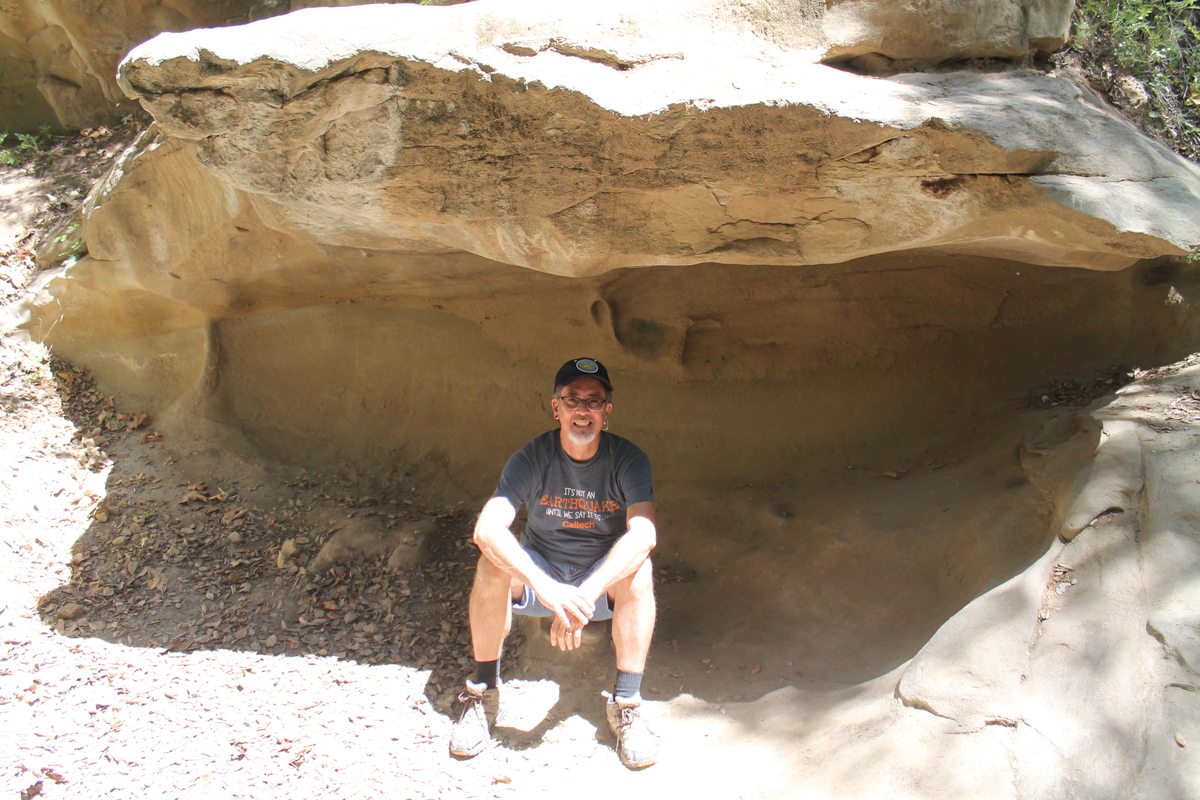
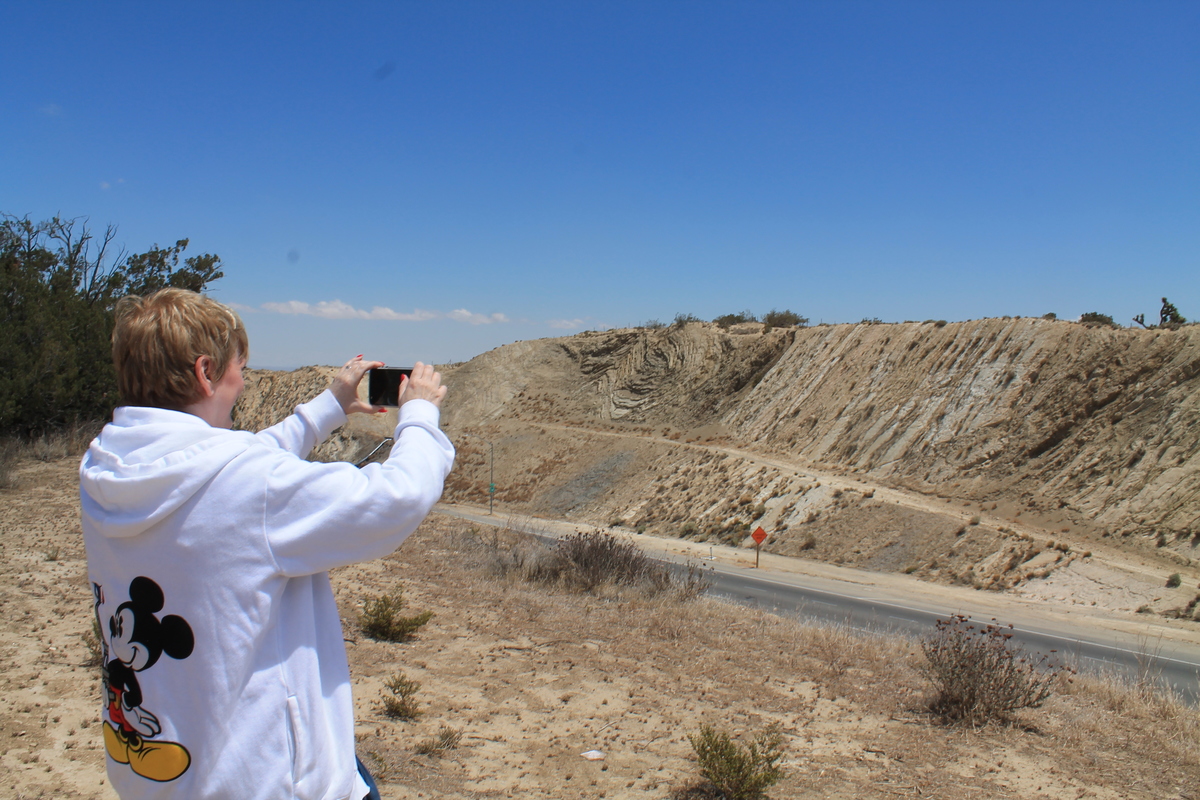
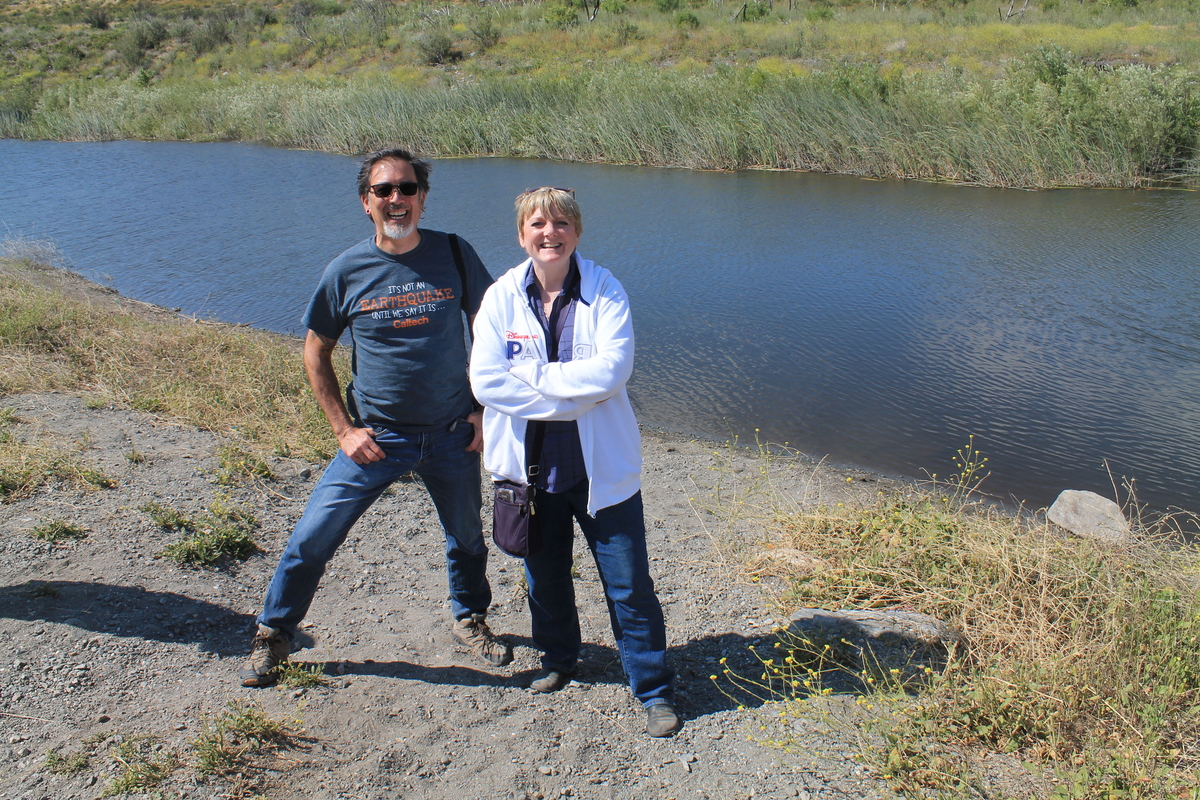
There’s a small guest book at the site, and it looks like it gets a visit about once every week or two on average. I wrote us into it, and then we walked up the trail to go see the famous creek. Well, actually, ‘creek-bed’. It only has water in it on fairly rare occasions when it rains. But it was impressive. The channel is pretty deep, and the offset where it crosses the fault is really obvious. The sign said that they figured out that the offset of that creek-bed represents 3,800 years of earthquakes, and that led to knowing that the San Andreas is moving an average of about 1 1/3 inches a year.
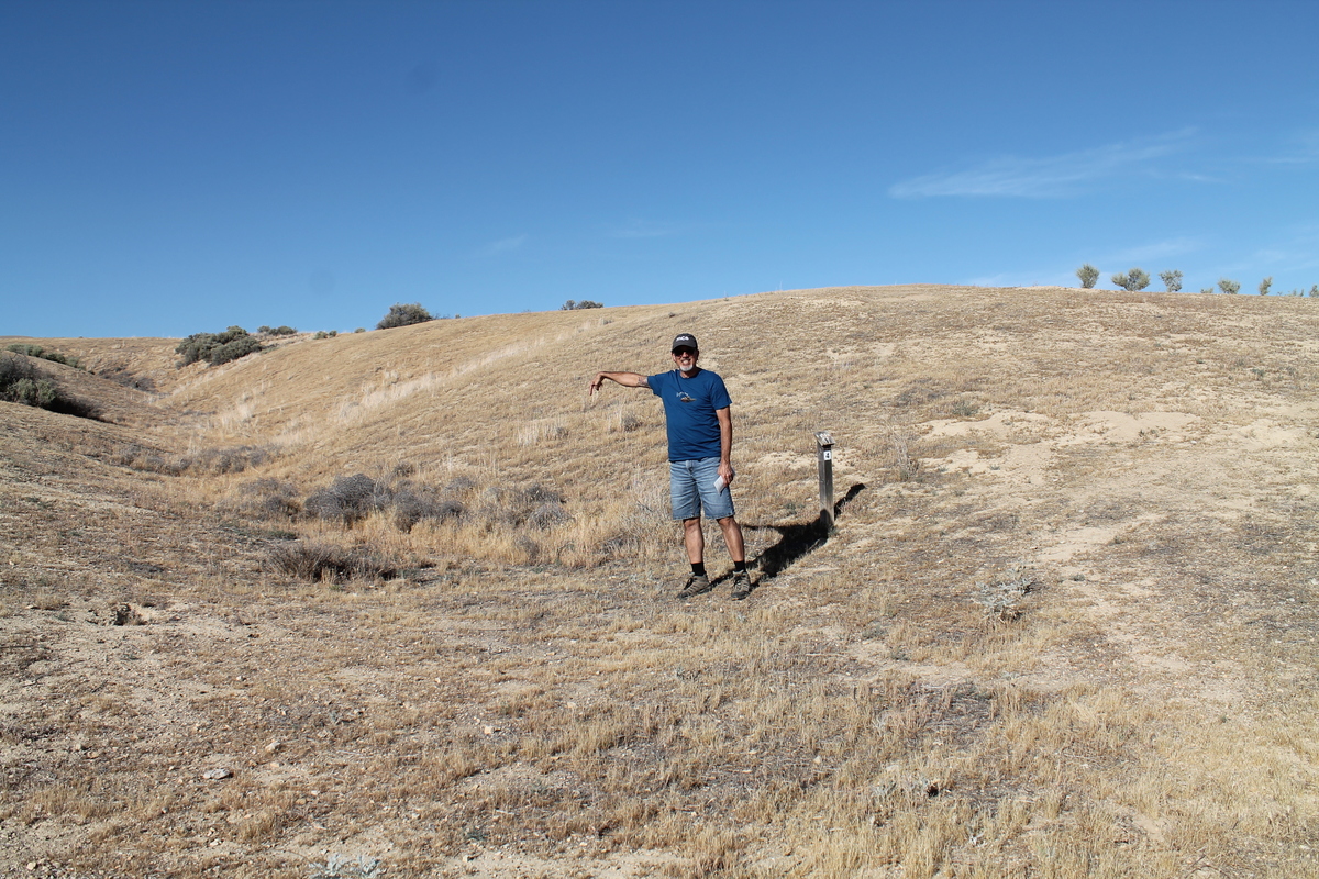
We walked a little bit down the trail to see a pair of smaller offset creek-beds. They were channels that were offset by about 30 feet in the 1857 Fort Tejon earthquake. They weren’t as big and obvious as Wallace Creek, but it was still impressive to be able to see how much the ground moved in one event in 1857.
When we finished at Wallace Creek, we continued east on the 58 to get to the 5 freeway at the Buttonwillow offramp. That’s a little cluster of gas stations and food places to cater to people traveling between northern and southern California. We had some dinner there, filled the car up with gas, and then we headed home. And yes, it was nice to get to spend a day with her doing this.