Stan’s Obligatory Blog

8/5/2018

The Whittier Greenway Trail

Filed under: — stan @ 2:54 pm

Today’s ride was our old Whittier Greenway Trail route. Not a lot special to see along the way, but a pleasant ride. And we stopped for the obligatory photo-op at Dork Street in Pico Rivera.

44 miles.

Route map and elevation profile

7/22/2018

“Here’s a story…”

Filed under: — stan @ 2:29 pm

Last week, I saw an article in the L.A. Times about how the house from :”The Brady Bunch” is on the market again for the first time in 45 years. Needless to say, when I saw this, I knew where we were going to ride this Sunday. For a route, I started with the route we used for the Amelia Earhart tour last March.

When we got to the house, there were two other groups of people already there to look at it. Apparently, it’s supposedly the second-most-photographed house in the country. So we took our photos and moved on. We stopped for snacks and drinks at Sweet Salt in Toluca Lake.

Usually, we’d take the L.A. River bike trail on the way home, but the stretch of the river trail by Griffith Park is closed for the construction of the North Atwater Bridge. So we rode through the park and got on the bike path at Los Feliz. Then we headed home by way of Highland Park and South Pasadena, with one brief stop at my office to have some ice water from the water cooler.

46 miles.

Route map and elevation profile

7/15/2018

Mack Sennett Studios

Filed under: — stan @ 1:58 pm

This past week, I saw an article in Atlas Obscura about Mack Sennett Studios and how they were behind pie fights becoming a comedy staple back in the 1920s:

www.atlasobscura.com/articles/why-do-people-throw-pies

It said that one of the buildings from the old studio still exists, and that it has a small historical marker out in front of it. So with that, we had a bit of sightseeing for today’s ride.

We took a slightly roundabout route to get to Huntington Drive for the ride into downtown. Along the way, we saw that the wrecked car we saw last Sunday was gone, and most of the debris was cleaned up, but I still made a point of staying as far away from that crushed glass as I could. Then we rode the last bit into downtown. We stopped briefly to look at the construction site where Metro is building the entrance to the tunnel on 1st St for the Regional Connector.

We rode across downtown and then up to Echo Park. We took the small side trip to see the old Mack Sennett Studios building. Then we doubled back, passing by Randyland to our snack stop at Pollen. We’re all still a bit shell-shocked by Chango Coffee closing, so we d wanted to try yet another place in the same neighborhood. It was nice, but table service only, which is a little inconvenient from our point of view.

On the way out of Echo Park, we saw yet another car that looked like it was wrecked while being peacefully parked.

At the south end of the L.A. River bike path, we got on Figueroa St, only to ride right into a monumental traffic jam. We later found out it was caused by some guy who was threatening to jump off the Ave 26 bridge over the Pasadena Freeway. So both sides of the freeway were closed, and all the traffic spilled over onto Figueroa. It was a mess, although I read later that they managed to save the guy.

40 miles.

Route map and elevation profile

7/8/2018

Santa Monica

Filed under: — stan @ 2:41 pm

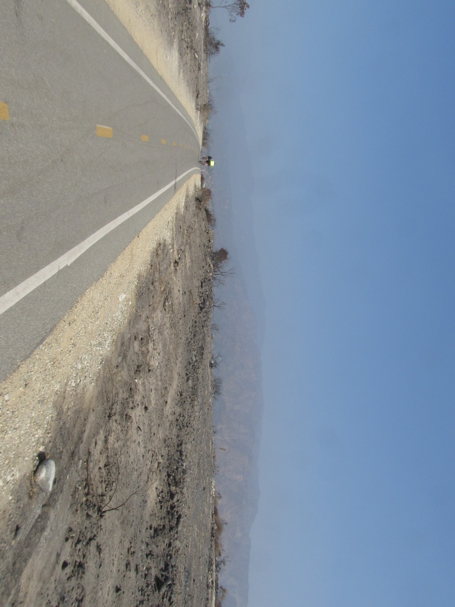
This past Friday, the temperature in my back yard peaked at 120 degrees. While it’s not supposed to be that hot today, it’s going to be seriously hot. So we’re doing the one-way ride to Santa Monica to escape the heat.

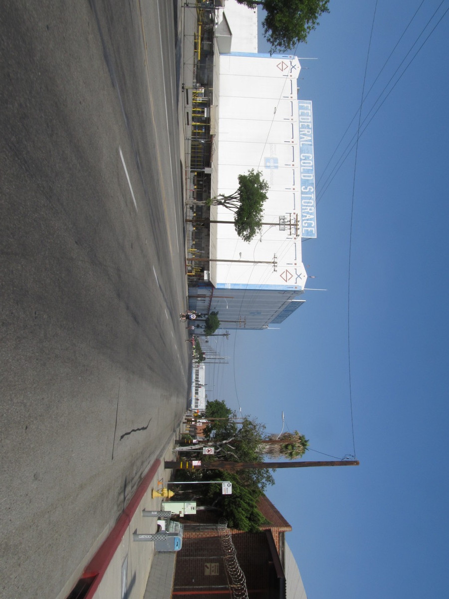
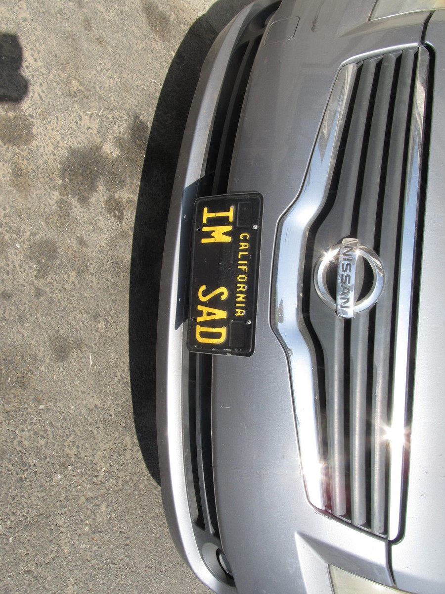
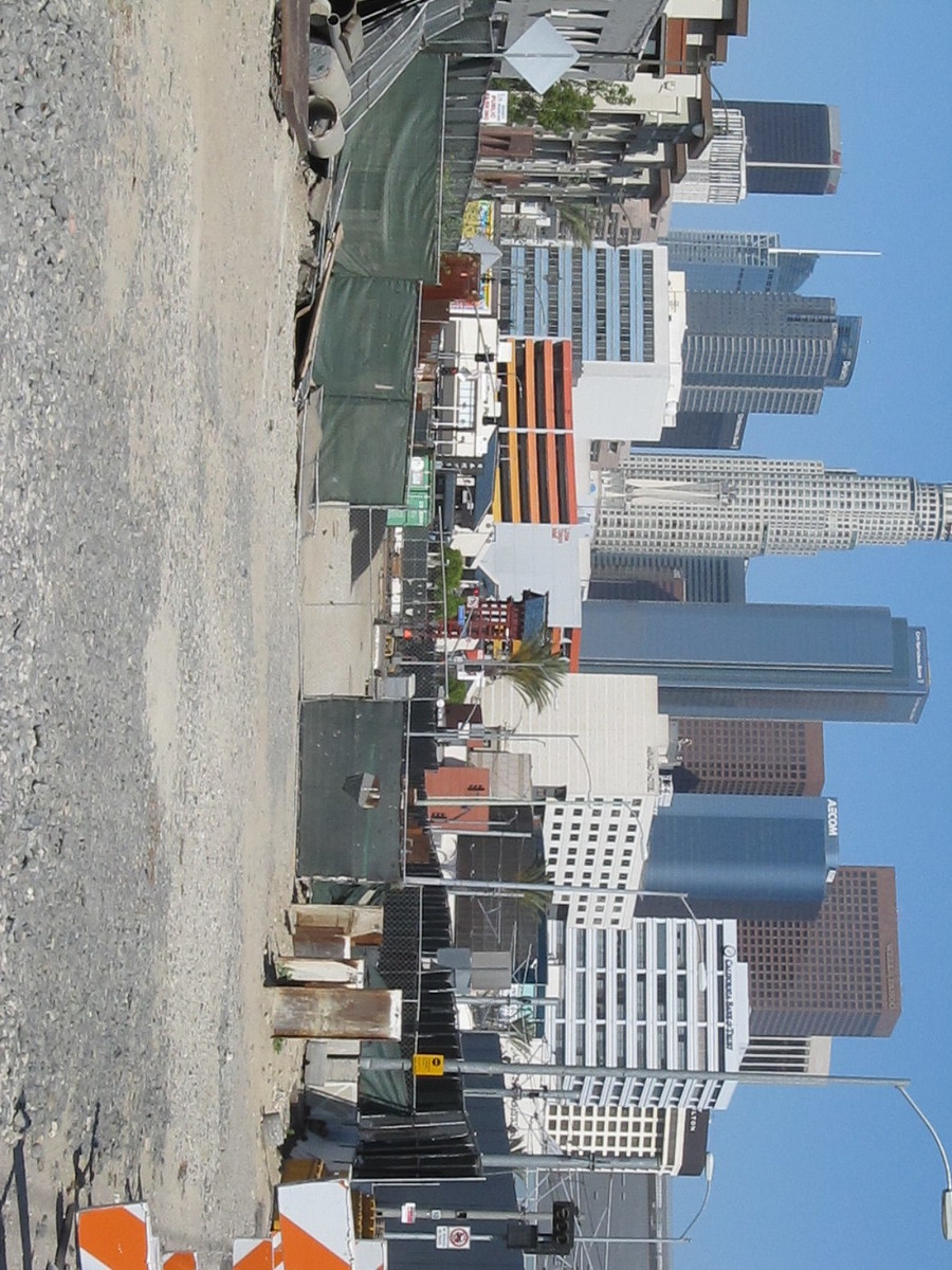
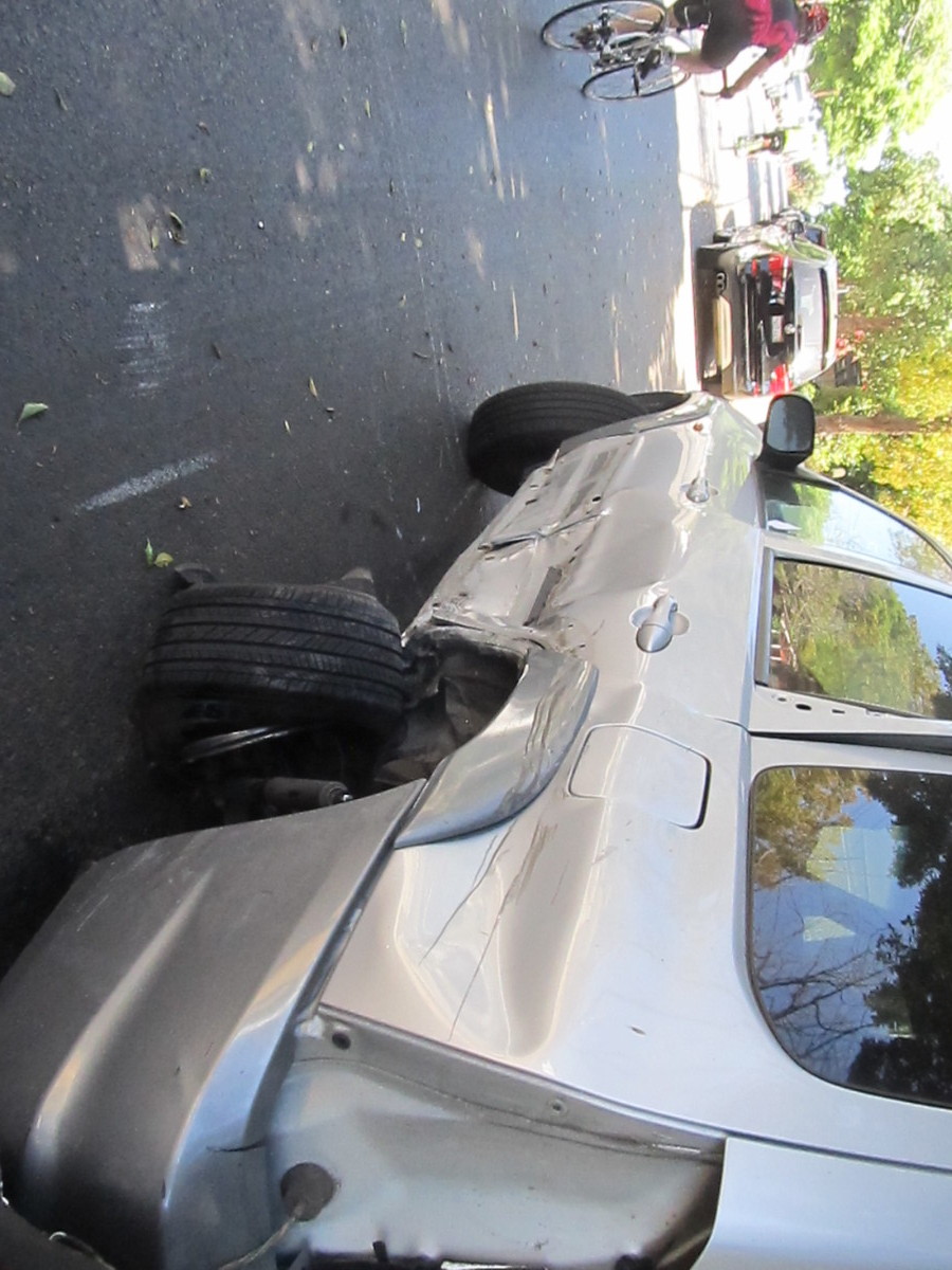
We headed down Sierra Madre to Huntington Drive for the first leg, into downtown. At Soto St, we saw a car that apparently had been parked on the side of the road and then hit very hard. There was glass and little pieces of car all over the road. More on that later.

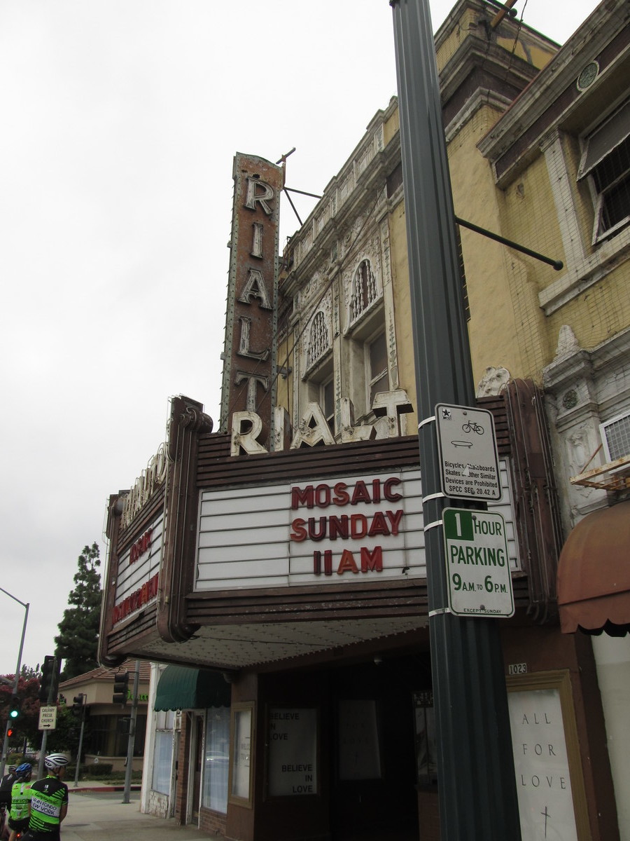
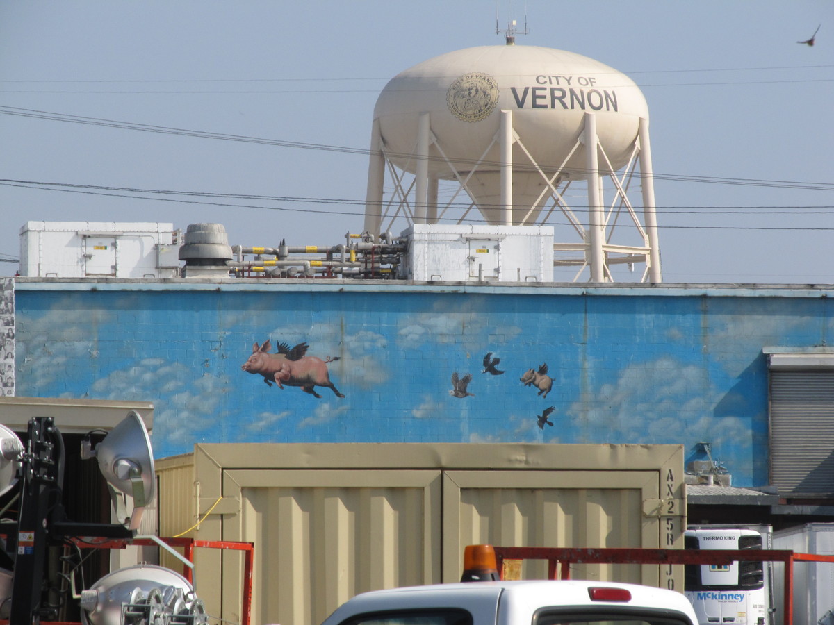
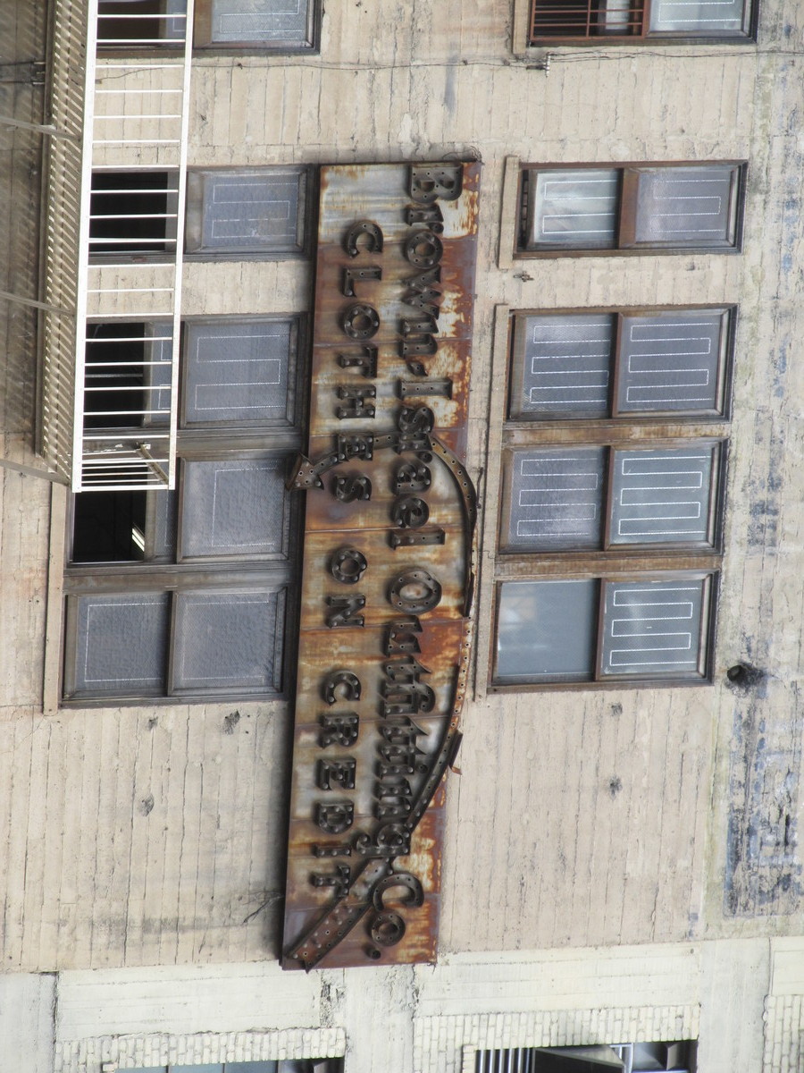
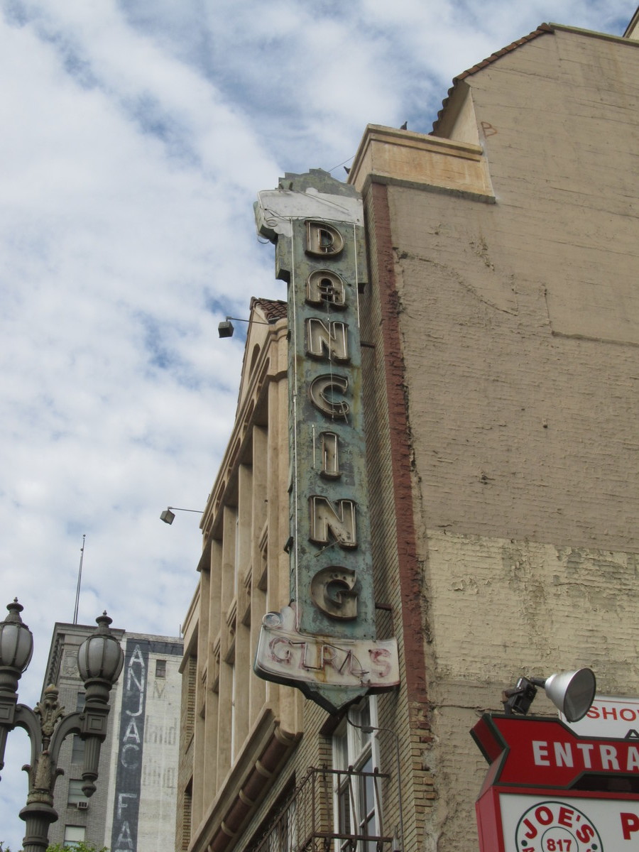
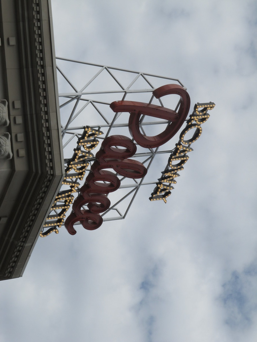
When we were going through downtown, I took a few pictures of some old neon and electric signs, and one new electric sign that was designed in the same style as the old ones.

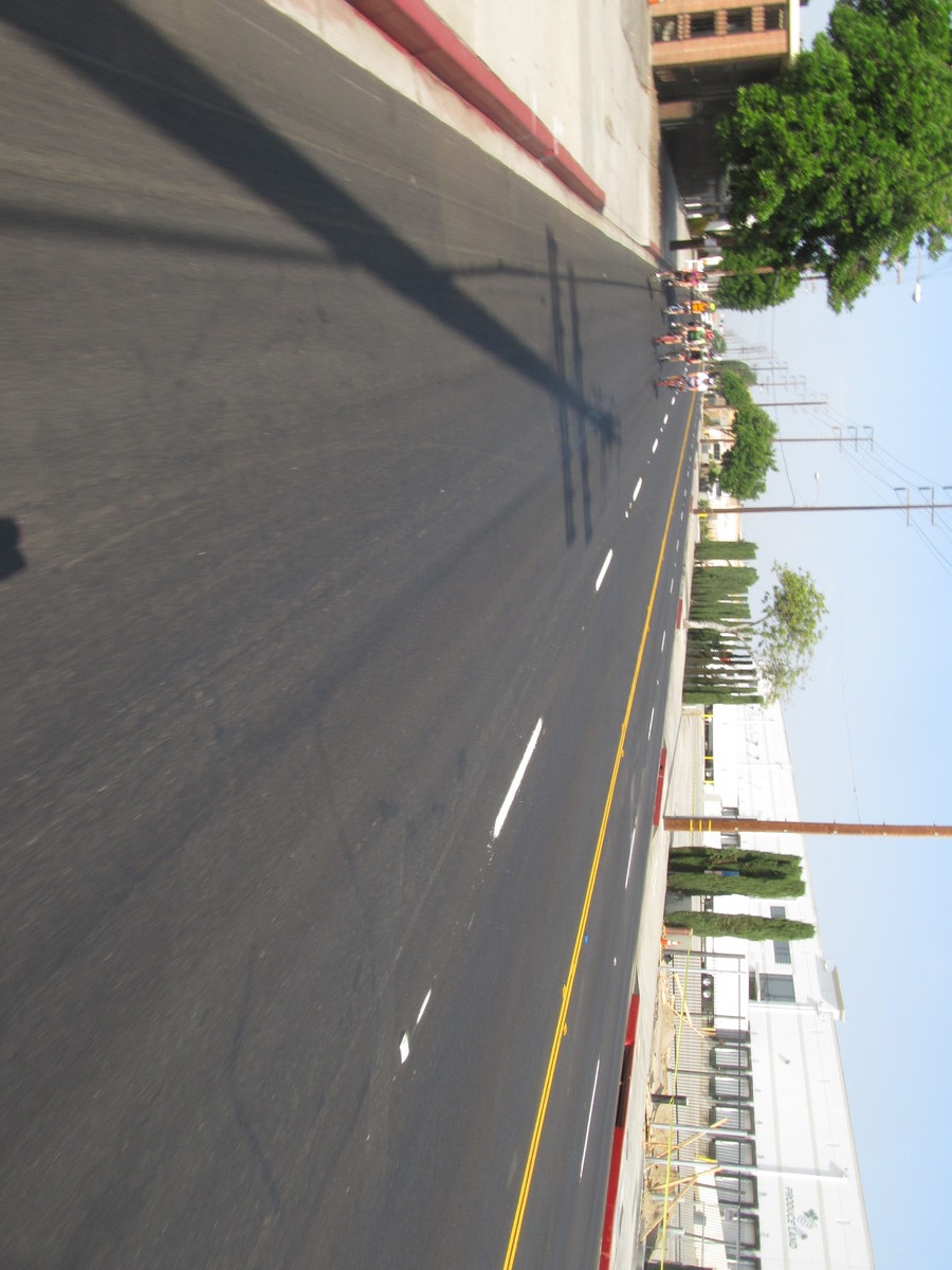
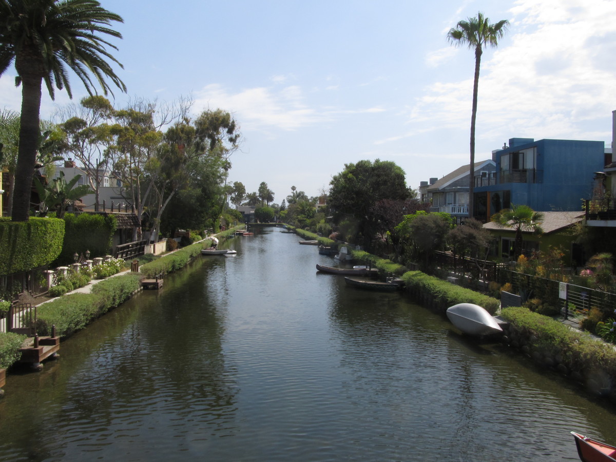
We rode out to the west side on the bike lanes that parallel the Metro Expo Line, and then down Ballona Creek to the ocean at Marina Del Rey. As it got later in the day, the heat rose, but as we got closer to the ocean, it got cooler. And the two effects roughly canceled each other out. So when we got to Marina Del Rey, it felt nice and cool to us, but it was still hot enough that the locals were all suffering. We rode the Braude bike path to Venice, and then took a short detour to go by the canals. And then up Main St to our snack stop at Dogtown Coffee.

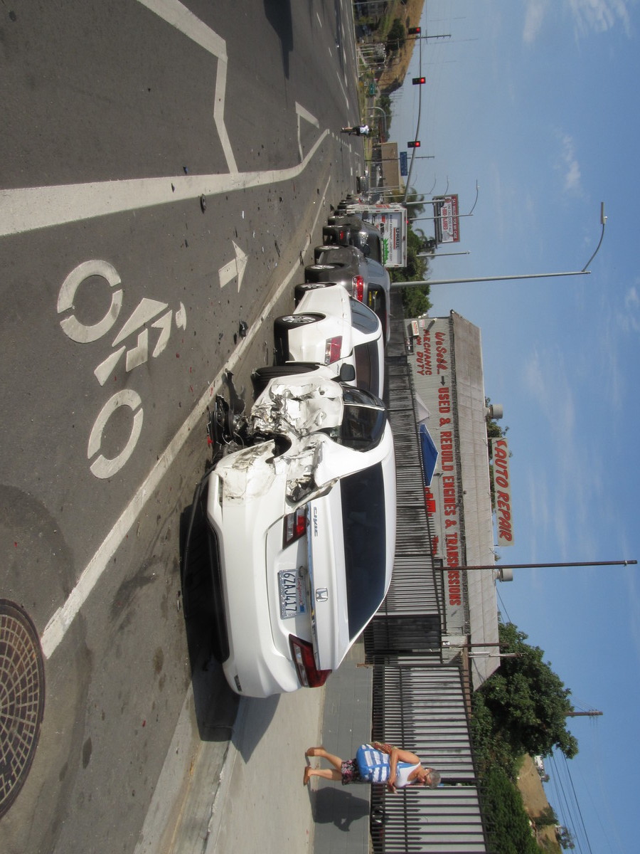
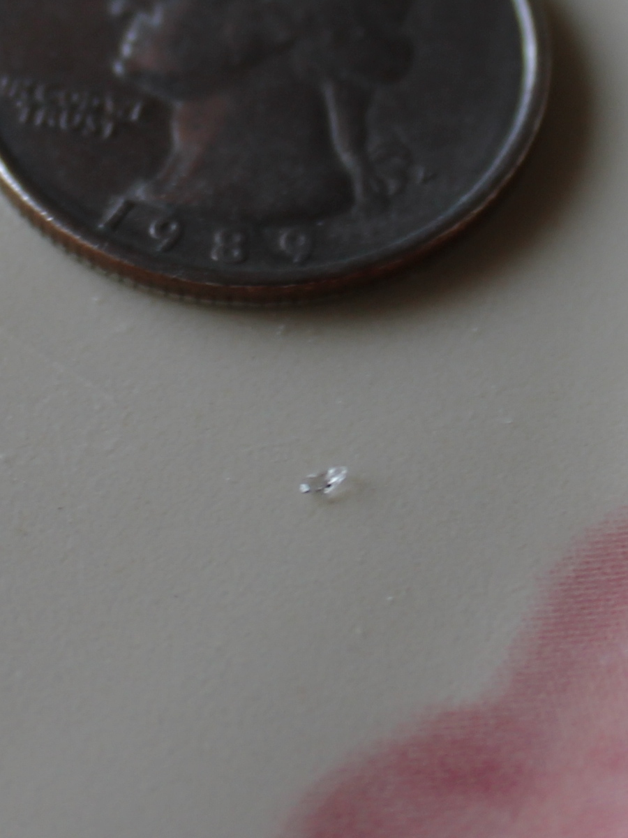
When we finished at Dogtown, I discovered that my front tire was flat. I fixed it, and discovered that one tiny flake of glass, probably from the wrecked car, was embedded in the tire and had worked its way through. You can see in the photo how small it was. But I got my tire fixed, and then we rode the last mile or so to Santa Monica, and we got on the Expo Line for the ride home.

37 miles, including the two miles home from the Metro station in Pasadena.

Route map and elevation profile

7/7/2018

More Failure

Filed under: — stan @ 8:56 pm

Last February, we went to see the Museum of Failure when it was set up in an old warehouse in the Arts District. I recently found out that after that closed, they set it up at Hollywood and Highland. So today we went to see it. A lot of the exhibits were the same as before, but there were a good number of pieces that were not in the old museum. Each one had a card next to it that described what it was and why it failed. And always snarky comments about each failure.

One good bit was the small room at the back with pens and Post-It notes so that people could anonymously confess to their own personal failures. Some of them were really hilarious. Kind of like PostSecret.

After that, we went and had a very nice dinner in Hollywood at Off Vine.


7/1/2018

More Word on the Street

Filed under: — stan @ 1:43 pm

Last fall, we did a ride to go see some of the installations of the “Word on the Street” art project. At the time, not all of the signs had been installed. So today, we did another ride to go see some of the signs that have been installed since then.

The first part of the ride took us down to the L.A. River, and then up through Griffith Park, ultimately to end up at Groundwork Coffee in the old Pacific Electric depot in North Hollywood. There was another big bike riding group there, as well as the usual assortment of people with their dogs.

After snacks and drinks, we started back. We stopped at the Glendale Narrows Riverwalk, as well as in two small parks in Glendale to see the street signs. Then we came home by way of going up and over Chevy Chase and Linda Vista.

47 miles.

Route map and elevation profile

6/24/2018

The Former Lockheed Factory

Filed under: — stan @ 2:14 pm

For years, I’ve noticed that there’s a giant shopping center next to the 5 freeway in Burbank, and it has big cutout models of famous Lockheed airplanes on top of the signs. I recently found out that that land was the site of the main Lockheed airplane factory, so I wanted to go see it, just to appreciate just how enormous it was.

Along the way, we took a short detour to see the F-104-on-a-stick in the park in Burbank. That was one of the planes built in the old Lockheed factory. Then we took the short ride down Empire Ave to the site of the former factory. It’s a huge piece of land. I’ve seen pictures of lines of B-17 bombers being built inside there during the war.

After that, we headed west, passing by Burbank Airport and the airplane topiary at the entrance. The new topiary is jasmine, and it was blooming. An airplane covered in flowers looks a bit odd, but it smelled nice. On the way down Clybourn Ave, we saw that it looks like the kiddie-ride boneyard has been cleaned out. No more killer clowns, I guess.

The route home went down the L.A. River bike path. When we got there, we found out it was closed from the end near the zoo all the way to Los Feliz. So we ended up riding through Griffith Park to get to where we could start on the path again. Apparently, they’re building some sort of bridge to connect the bike path to Atwater Village on the other side of the river.

46 miles.

Route map and elevation profile

6/17/2018

The Presidential Twitter Library

Filed under: — stan @ 12:36 pm

Last Friday, I went out to West Hollywood to see the Daily Show’s Donald J. Trump Presidential Twitter Library, and I thought it was funny enough that it was our destination for the Sunday bike ride today.

The route was nearly identical to the route we took when we went to see the places that are “Instagrammed to death.” When we got there, there was already a line of people waiting to go in, so I guess word gets around. After that, we went for bagels at Noah’s in Larchmont, and then home by way of downtown L.A. All told, it was about 46 miles.

6/15/2018

The Donald J. Trump Presidential Twitter Library

Filed under: — stan @ 3:47 pm

Last week on “The Daily Show”, Trevor Noah mentioned that they were going to have the Donald J. Trump Presidential Twitter Library in Los Angeles for two weekends. Since I took Thursday off to go to Santa Cruz to fetch Lucinda, I also took Friday off, just because I have a ton of leave that needs to be used. So I figured that today would be a good day to make the trip to West Hollywood to go see this.

Right at the entrance, they had the Trump Nickname Generator. Everyone ran the generator, and then was given a little nametag. Mine said that my Trump nickname was “Total Amateur Stan”.

Next to the nickname generator, there was a timeline of Trump twitter, all the way back to his first tweet on May 4, 2009. There was a display analyzing his tweets by the number of mentions of people, of numbers of times he used particular words, and topics that tweets were about.

Possibly the highlight of the museum was the little Oval Office set, complete with American and Russian flags, a desk, and a golden toilet. Everyone wanted to get their picture taken sitting on the golden toilet.

In the corner, they had the Trump Inauguration cake. The cake was made of styrofoam, covered in fondant icing, with only a small sliver of actual cake in one spot on the bottom layer.

The “SAD!” retrospective was also very funny. Just a sampling of the many things Trump has deemed to be “SAD!” over the years.

Overall, this was all tremendously funny. It had to be, since the actual underlying reality of it is pretty horrifying.

6/14/2018

And then this happened…

Filed under: — stan @ 10:47 pm

Last September, we took a trip to Santa Cruz to move Lucinda into her new home-away-from-home at UC Santa Cruz. And today was the other bookend for that experience.

A couple weeks ago, Lucinda asked if I would come to Santa Cruz to help her move out and bring her home. At first I thought this would make for a grueling day or two days, but at the same time, I realized it was an opportunity to spend a day with her. As she’s growing up, opportunities for things like that become more rare. So I worked out a plan. I would fly to San Jose in the morning, and then rent a car there. I was able to set it up with Hertz that I could rent the car at San Jose Airport, and then bring it back the next day to their office in Pasadena. So the plan was to pick up the car and drive it over the hill to Santa Cruz. Then we loaded up all her stuff into the car. We stopped off in downtown Santa Cruz for lunch, and then we headed for home.

We took the 101 south for a good bit of the trip. We had to take some small roads to pick up the 101 in Prunedale. Then we went south on the 101 for what seemed like forever. Along the way, I told Lucinda that I wanted to take a short side trip to the Carrizo Plain to see Wallace Creek. That’s a very desolate and remote place that is famous among seismologists. To get there, we had to take Highway 58, which I expected to be like Highway 46 that I took home last fall. But no. Highway 46 was divided and almost like a freeway, while Highway 58 was like a narrow, winding country road. We took that for a very long time before we came to the turnoff. That was a small, but well-paved road. But we were only on that for a short distance before we had to turn off onto a small dirt road. At least it was pretty well-graded, so it wasn’t a big deal. But as city people, we’re just not used to be out in the middle of nowhere and being all alone for as far as we could see in any direction.

There’s a small guest book at the site, and it looks like it gets a visit about once every week or two on average. I wrote us into it, and then we walked up the trail to go see the famous creek. Well, actually, ‘creek-bed’. It only has water in it on fairly rare occasions when it rains. But it was impressive. The channel is pretty deep, and the offset where it crosses the fault is really obvious. The sign said that they figured out that the offset of that creek-bed represents 3,800 years of earthquakes, and that led to knowing that the San Andreas is moving an average of about 1 1/3 inches a year.

We walked a little bit down the trail to see a pair of smaller offset creek-beds. They were channels that were offset by about 30 feet in the 1857 Fort Tejon earthquake. They weren’t as big and obvious as Wallace Creek, but it was still impressive to be able to see how much the ground moved in one event in 1857.

When we finished at Wallace Creek, we continued east on the 58 to get to the 5 freeway at the Buttonwillow offramp. That’s a little cluster of gas stations and food places to cater to people traveling between northern and southern California. We had some dinner there, filled the car up with gas, and then we headed home. And yes, it was nice to get to spend a day with her doing this.

Powered by WordPress