Glendale hills and a pirate ship, too
 |
 |
 |
 |
 |
 |
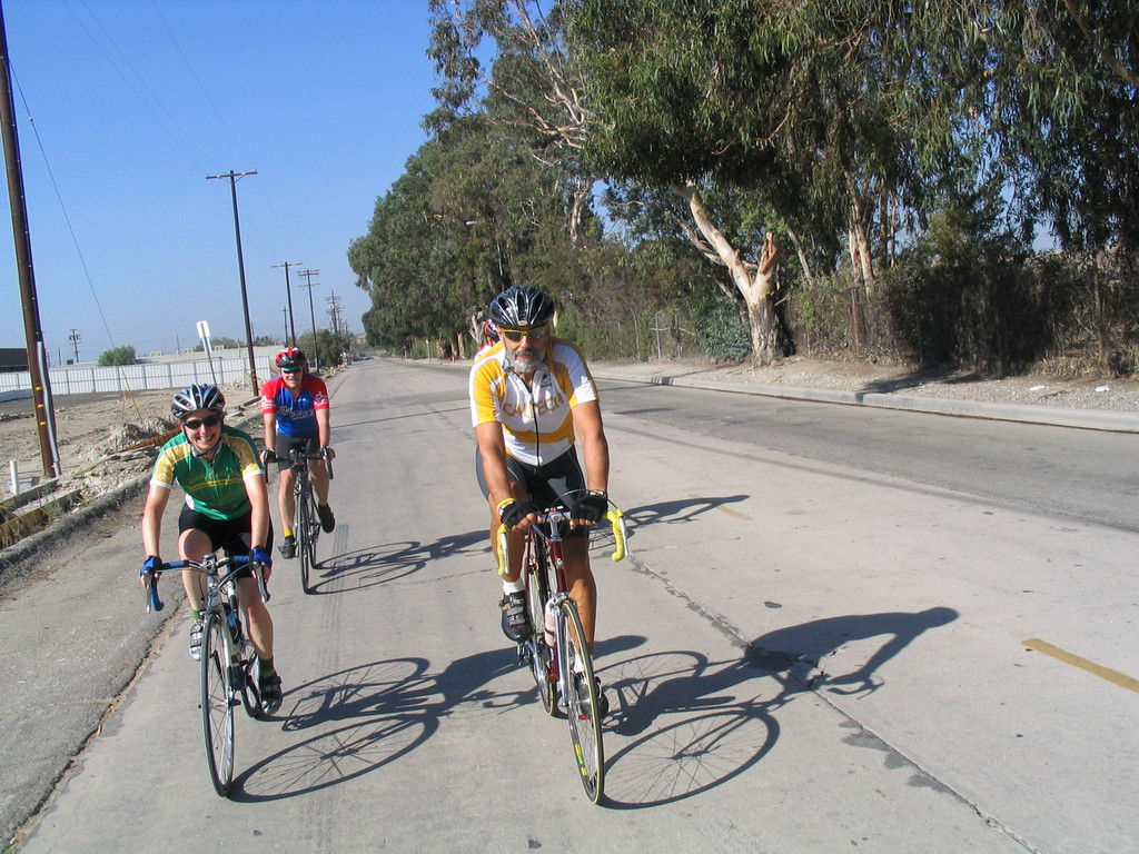
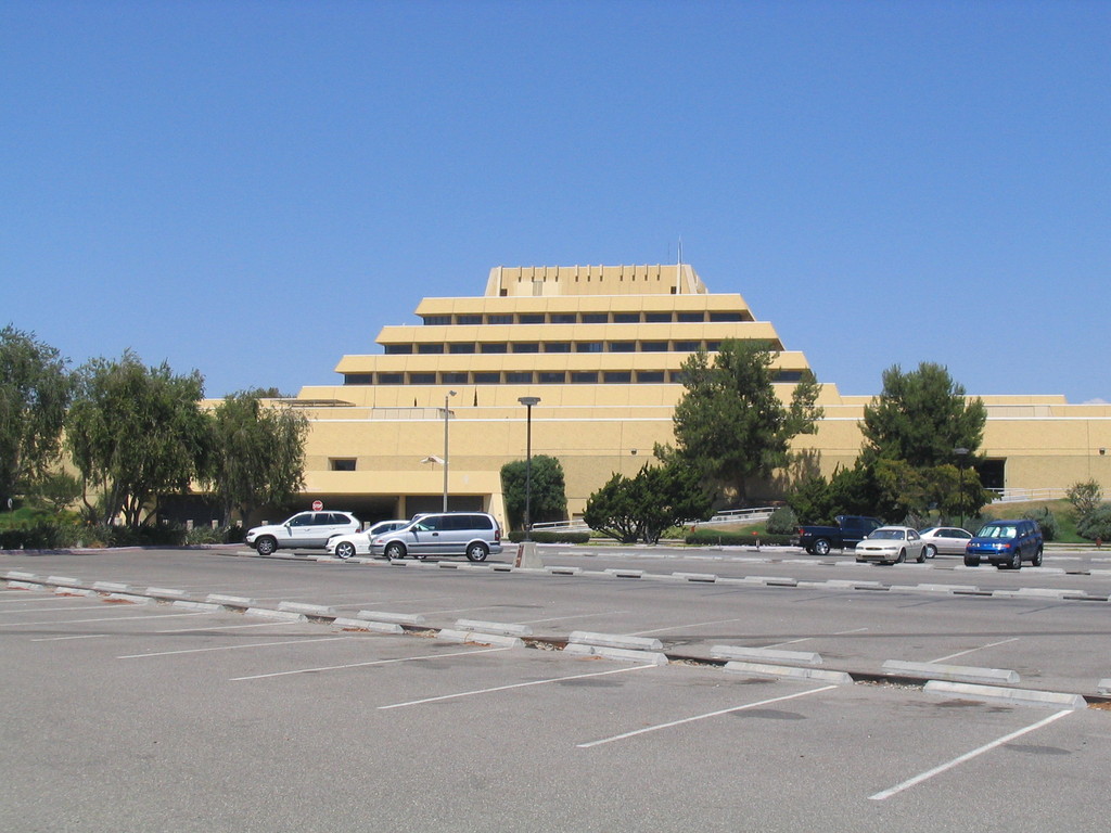
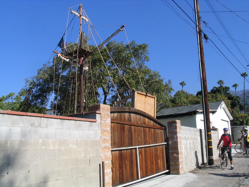
Last week, I saw an item on Curbed L.A. about a house in Burbank with a pirate ship in the back yard. So I mailed Gene and said we should go see it. So today we did the Glendale hills route, which goes right by there. We’ve done this ride before, and it’s always great fun.
It was a bit chilly when we started out in the morning, but it turned into a very nice day. And there was a lot of climbing on this route, so we warmed up pretty fast. And the sheet of bubble wrap I was wearing helped, too. I recently read that it’s the 50th anniversary of the invention of bubble wrap. It’s an amazing thing. Besides cushioning, it’s also a great insulator, and it even has other (Not Safe For Work) uses.
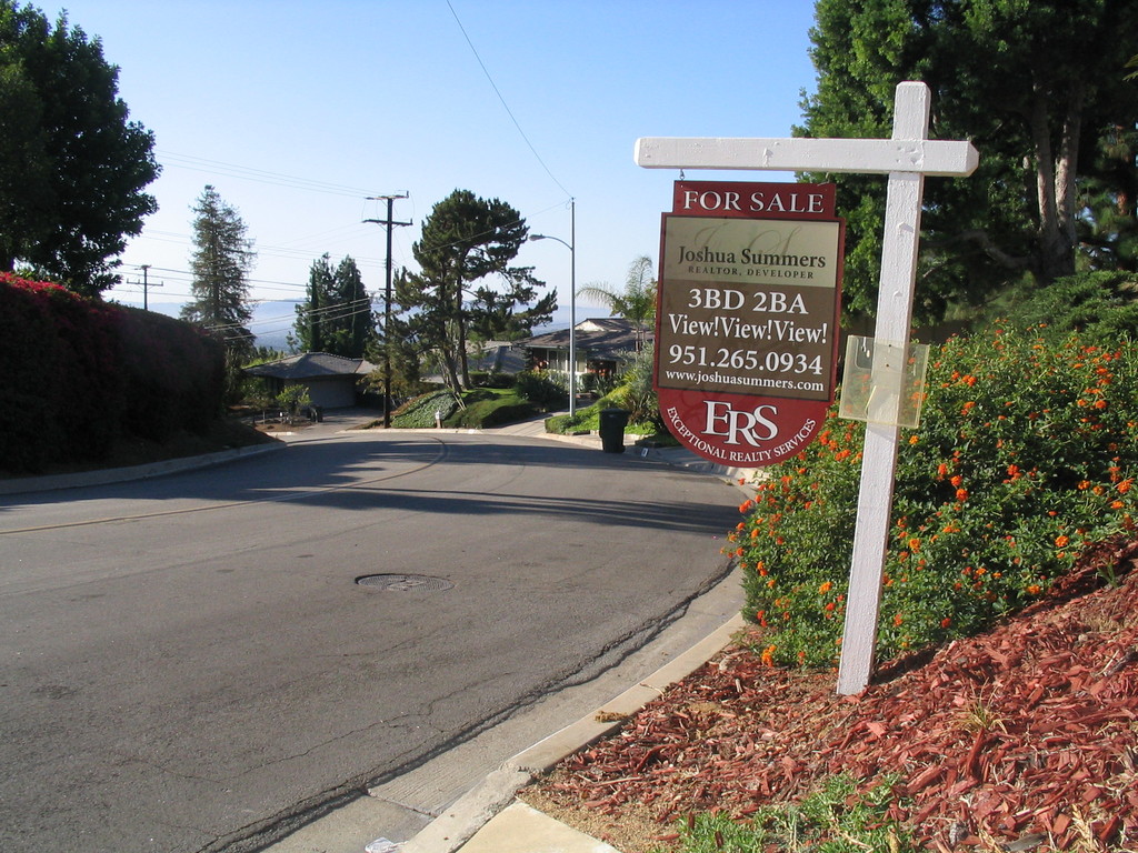
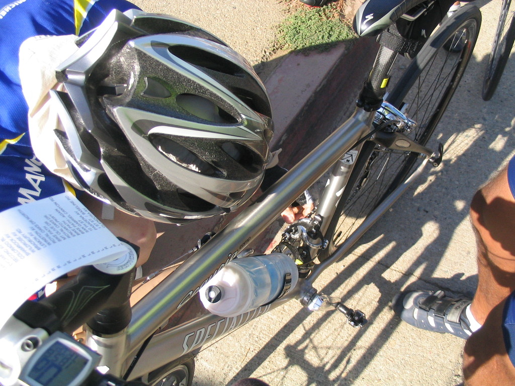
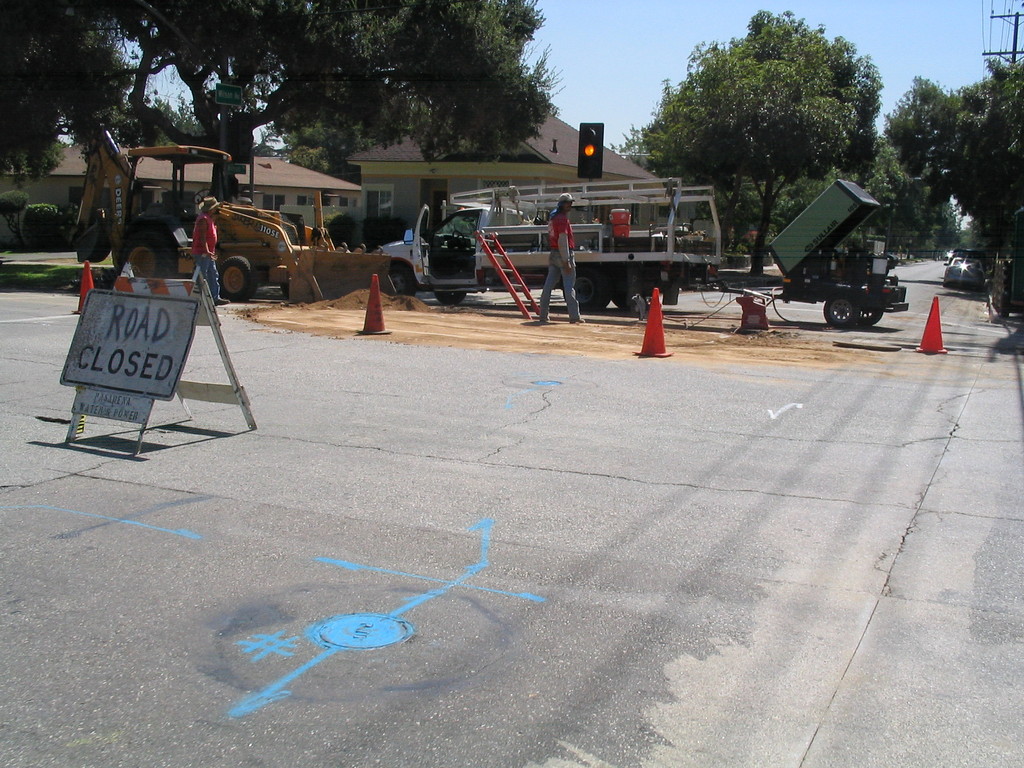
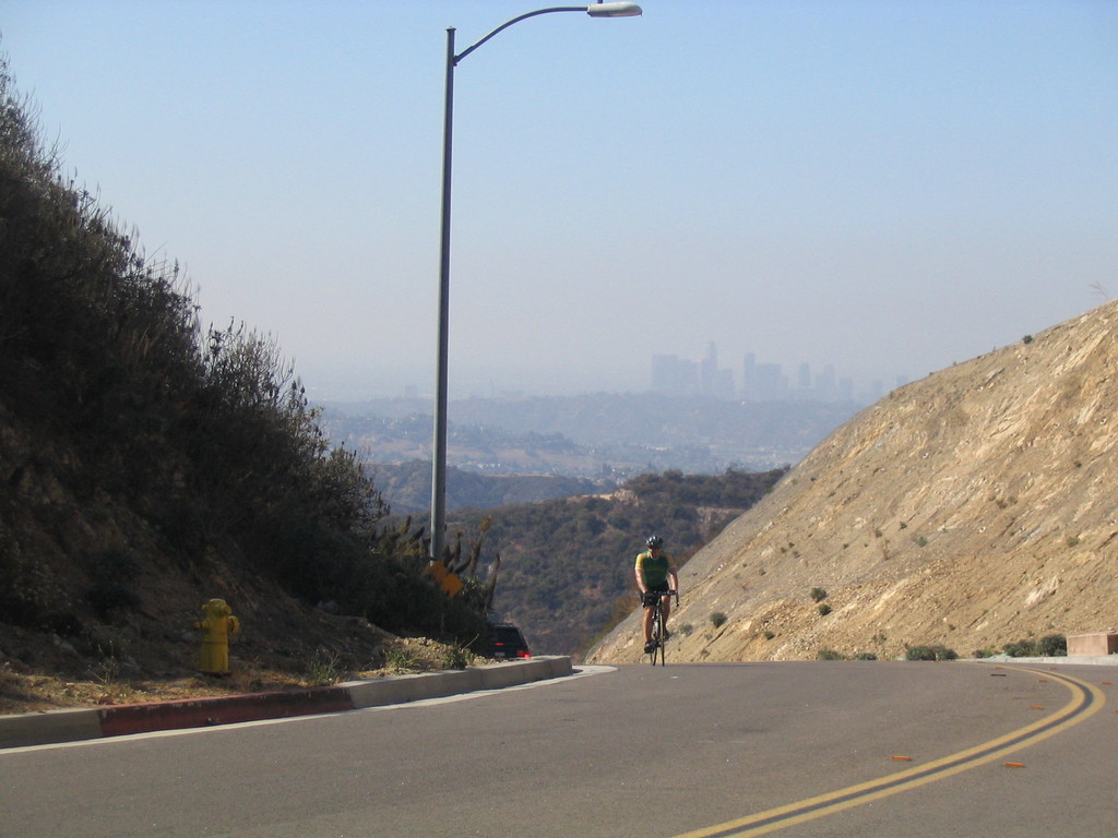
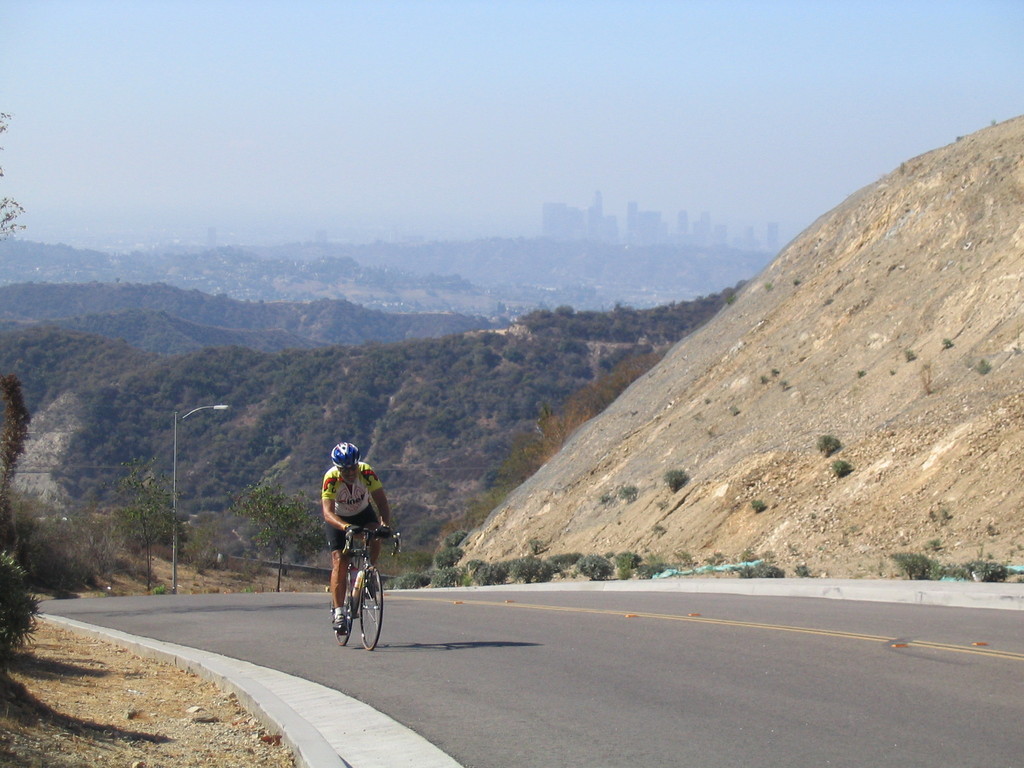
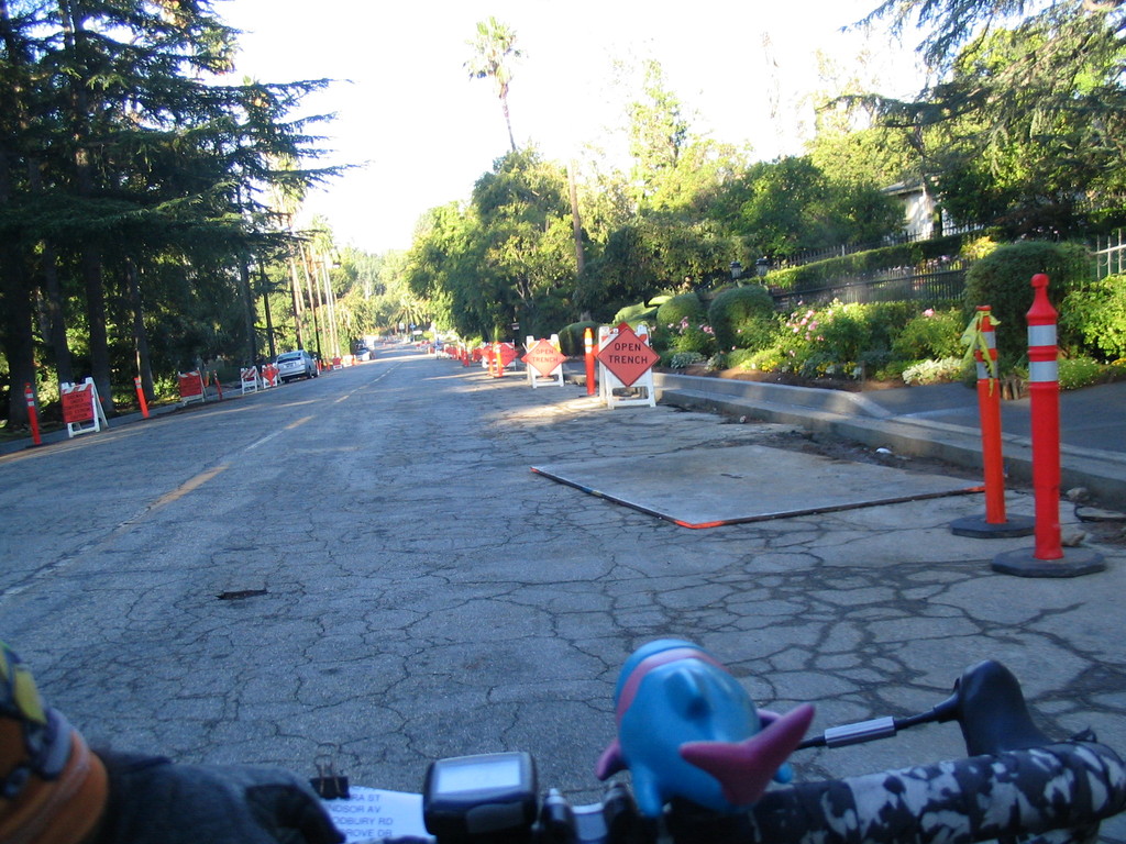
We had to pass through the part of Altadena Drive where they have the road closed for sewer repairs, so it was a bit of a bushwhack. But then we got past that and headed up the hill. Then Ben got a flat. I circled back to get a picture, but some moisture had gotten in the camera, and the picture was just a purple smear. So he missed his chance to be in the Flat Tire Gallery this time.
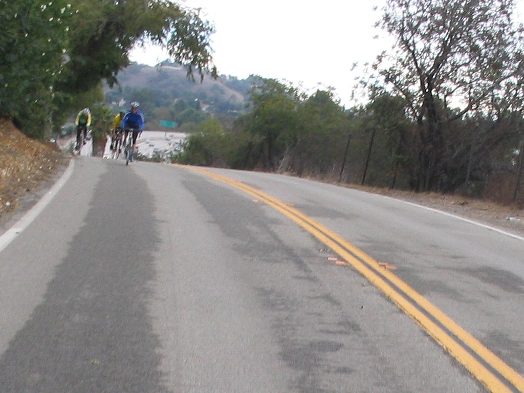
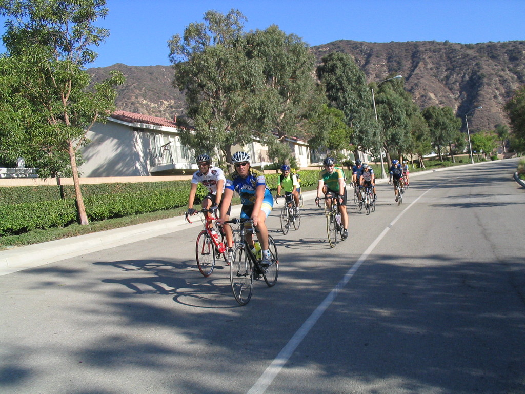
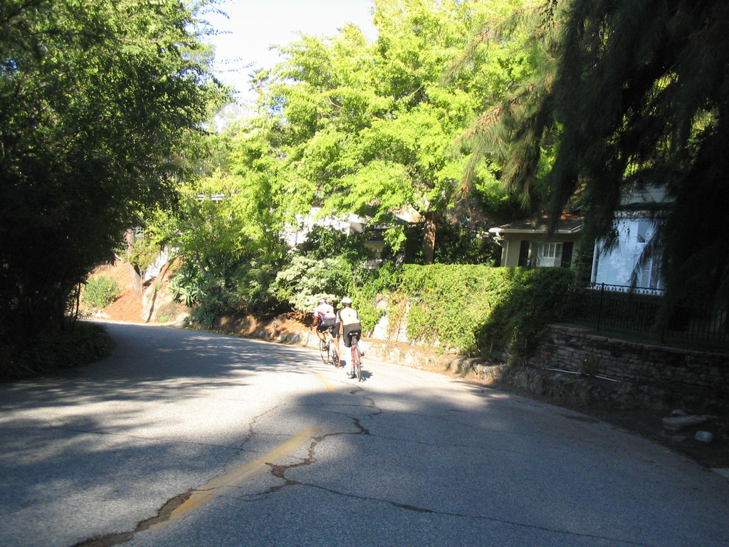
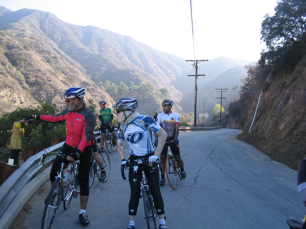
On the way up the hill, Om led the charge. I recently have been remembering my racing days, and I’ve been trying to again be King of the Hill. So we had some fun racing up the hill. Then we regrouped at the top and headed down the big hill on Mountain Ave. I find this downhill to be frankly terrifying. I guess I’m getting old.
At the bottom, we crossed Verdugo Wash and headed up the hills on the other side. More nice climbing, with some pitches up to 12%. We rambled through the hills and looked at the views before coming down into Glendale.
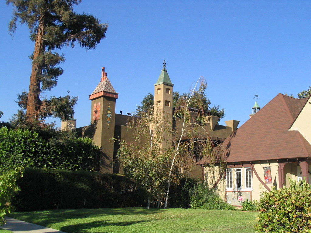
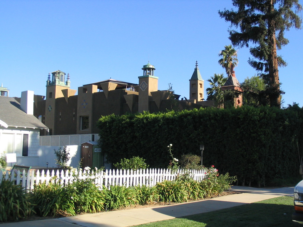
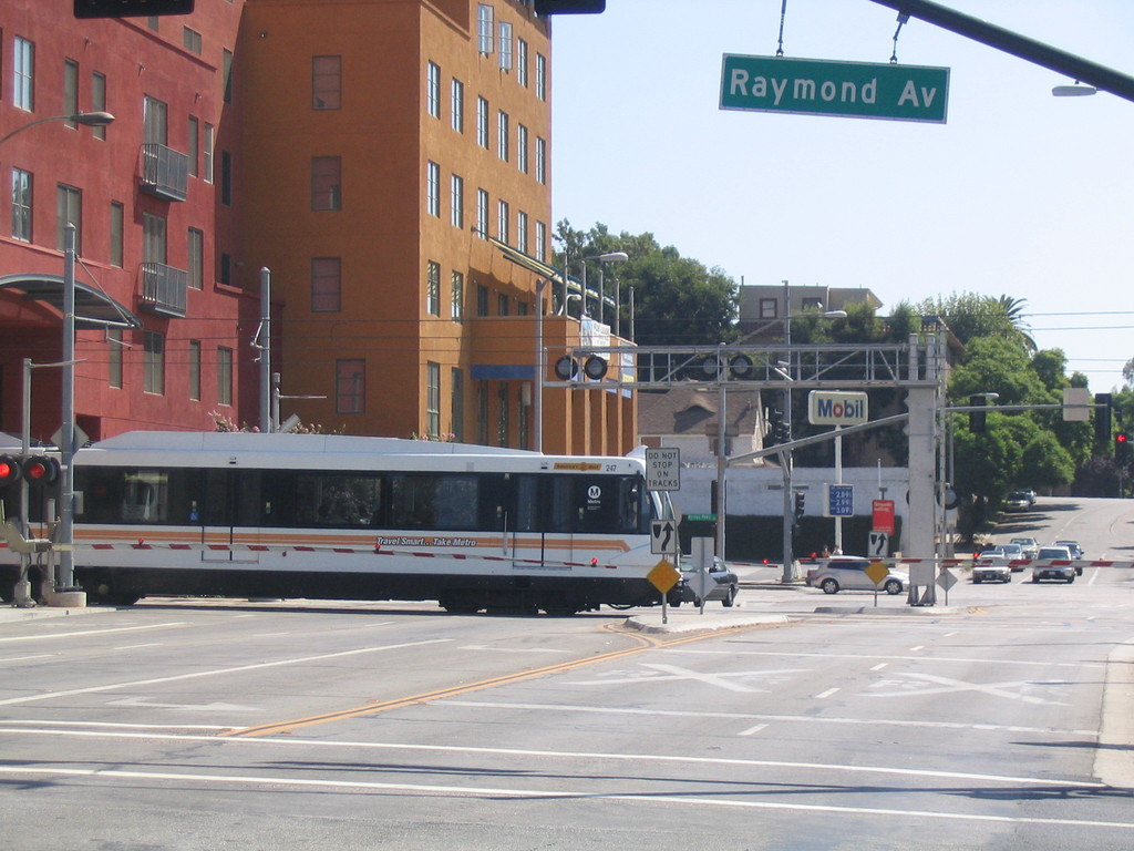
We rode out into Burbank a bit and then doubled back on Kenneth. Then we turned off on Angeleno to see the pirate ship. And it was impressive. Sort of like a playhouse gone mad.
Our stop was at Paradise Bakery. I had my usual chocolate éclair. And when we left, I saw two different abandoned couches right around the corner.
The route back went up and over the Lida hill back to Pasadena. By this time, I was pretty tired. Newton beat all of us to the top. Then we rode down to the Rose Bowl and up Washington to Arroyo.
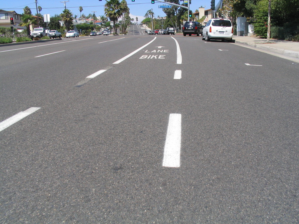
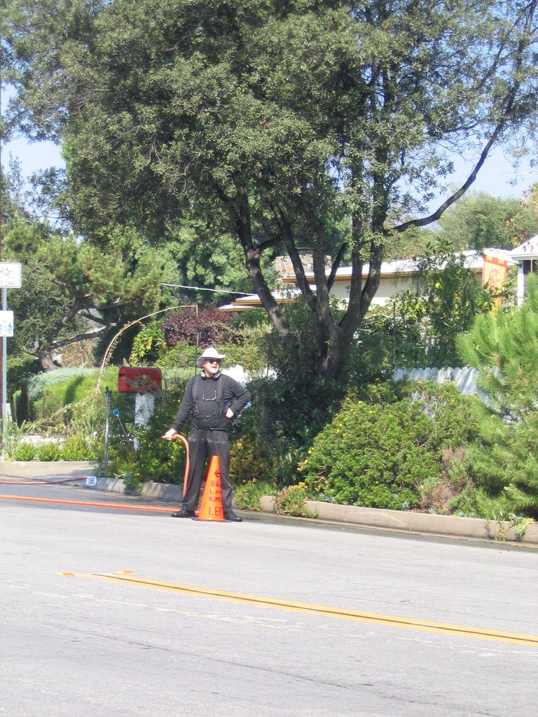
We took a small detour to see the house with the cone in front. There is a house on Arroyo where the owner has apparently decided that he doesn’t like bikes riding in the bike lane. The city has gone to the trouble of painting and signing a bike lane on that street, and this particular homeowner places a traffic cone out at the bike lane line and wants us to go around it. It is unclear why he thinks we should not be riding in the space that the city has provided for us. The man in front of the house claimed to know nothing about the cone, but it was pretty obvious that it was his. So perhaps a letter to the city street department is in order.
By the time I got home, I was pretty tired and moving slowly. But it was a fun time.
42 miles.