Stan’s Obligatory Blog

Page 5 of 93« First...«34567»102030...Last »

9/20/2020

Remembering 9/11

Filed under: — stan @ 7:40 pm

This week’s bike club ride was a visit to two different 9/11 memorials in the L.A. area. We were supposed to do this ride last week, but the ride was canceled due to smoke from the Bobcat Fire.

The first memorial is in the city of Rosemead:

https://www.roadsideamerica.com/tip/51182

From there, we headed to downtown L.A. and then out to near MacArthur Park before turning north to Echo Park. Along the way, we passed Angelino Heights, which is yet another place we’ve visited on the Sunday bike ride. The 9/11 memorial is at the L.A. Fire Department training center near Dodger Stadium:

https://www.roadsideamerica.com/tip/35370

Our snack and drink stop was at Chimney Coffee House, just outside downtown L.A. It was a pretty nice place.

41 miles.

Route map and elevation profile

8/30/2020

Straight Outta Compton

Filed under: — stan @ 7:56 pm

This week’s bike club ride was a visit to Rose Hills Cemetery in Whittier to see Eric “Eazy-E” Wright. We’ve been there before, but the last time was pretty grim. It was a brutally hot day, and really uncomfortable for riding. Today looked to be much better.

When we got to the cemetery, it was again a pretty hard climb up the hill. I guess they called it Rose Hills for a reason. But we got up there, and we saw that Eazy-E has a new and much nicer marker now. Photos, a record, and notes that he was “The Godfather of Gangsta Rap”. He certainly made a mark on the world. And the empty beer cans showed that he still gets a fair number of visitors.

On the way home, we stopped for snacks at Merengue in Monrovia, which is always good.

44 miles.

Route map and elevation profile

8/16/2020

The George Harrison Tree

Filed under: — stan @ 4:38 pm

Today’s bike club ride was a visit to Griffith Park to see the George Harrison Tree. We’ve been to see this before, but it’s been a while. This tree made the news a few years ago, when it was reported that the original tree had been killed by and infestation of beetles. Go figure.

On the way there, we passed Little Dom’s in Los Feliz. I’ve been watching the HBO documentary “I’ll Be Gone in the Dark”, and in it, Michelle McNamara and Patton Oswalt mentioned several times about how much they liked the food there. So I thought I should make a note of where it is for future reference.

We rode up Hillhurst and Vermont into the park. At the top, we saw the tree, and the (currently closed) observatory. Then we continued on, over Mt Hollywood to Burbank and snacks and drinks at Priscilla’s.

The ride home was pretty uneventful. It was a nice ride.

44 miles.

Route map and elevation profile

8/9/2020

The Vineland Drive-In

Filed under: — stan @ 3:36 pm

This past week, I found out that there are still just a few operating drive-in theaters in Southern California. I thought they’d all gone away decades ago. Apparently, they have been mostly operating as swapmeet locations, but now with Covid-19, they have started showing films again. So today’s bike ride was to go visit the one in City of Industry.

We rode out through Duarte and Azusa to get to Panera in West Covina for snacks and drinks. Then we headed over to Industry to see the drive-in. On the way back, we passed by Rose Hills, which we’d visited before to see the traveling Vietnam Memorial, and to see Eazy-E, and also Jaime Escalante.

42 miles.

Route map and elevation profile

8/2/2020

Farmer John

Filed under: — stan @ 1:46 pm

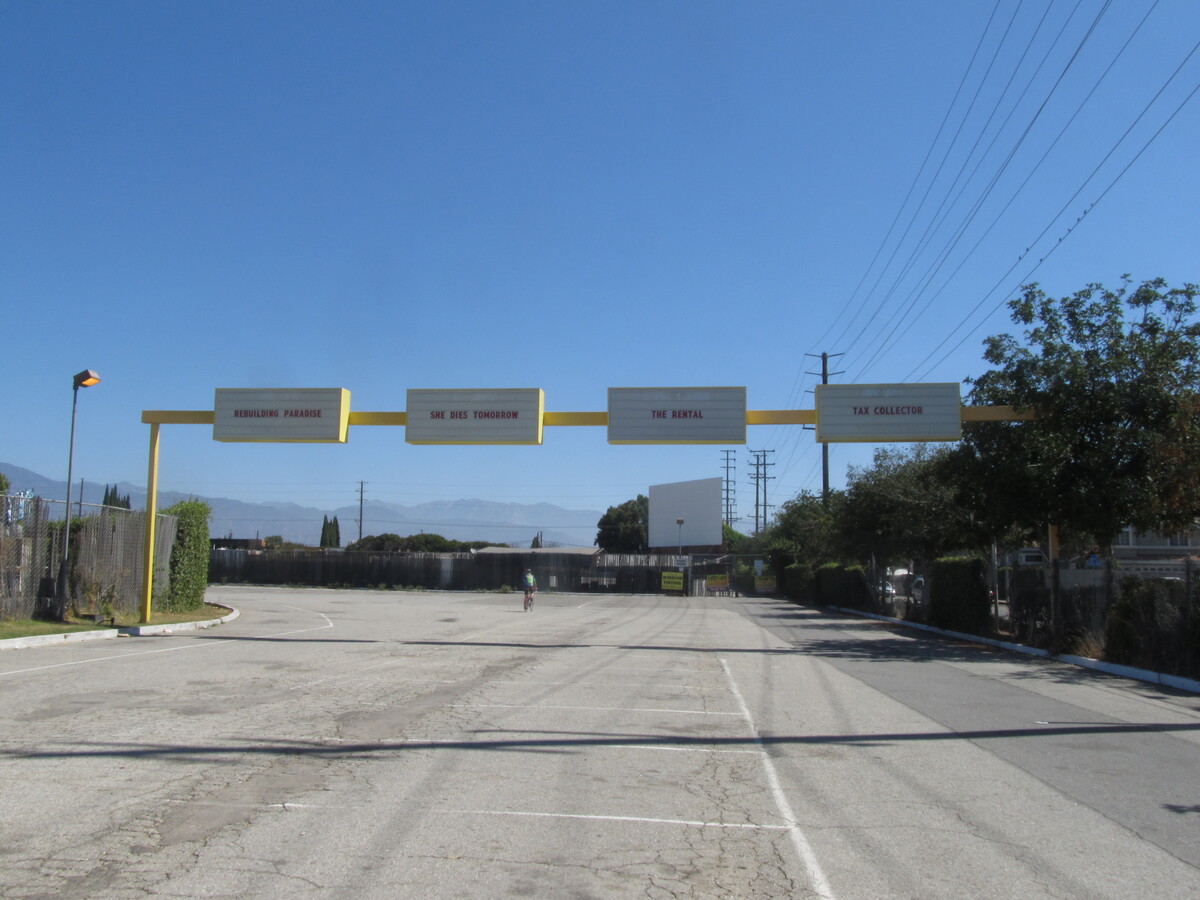
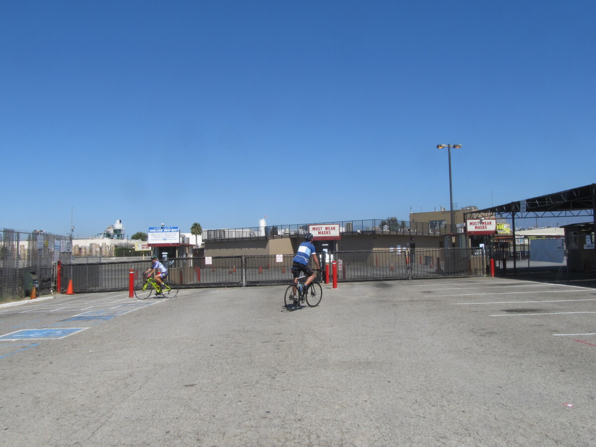
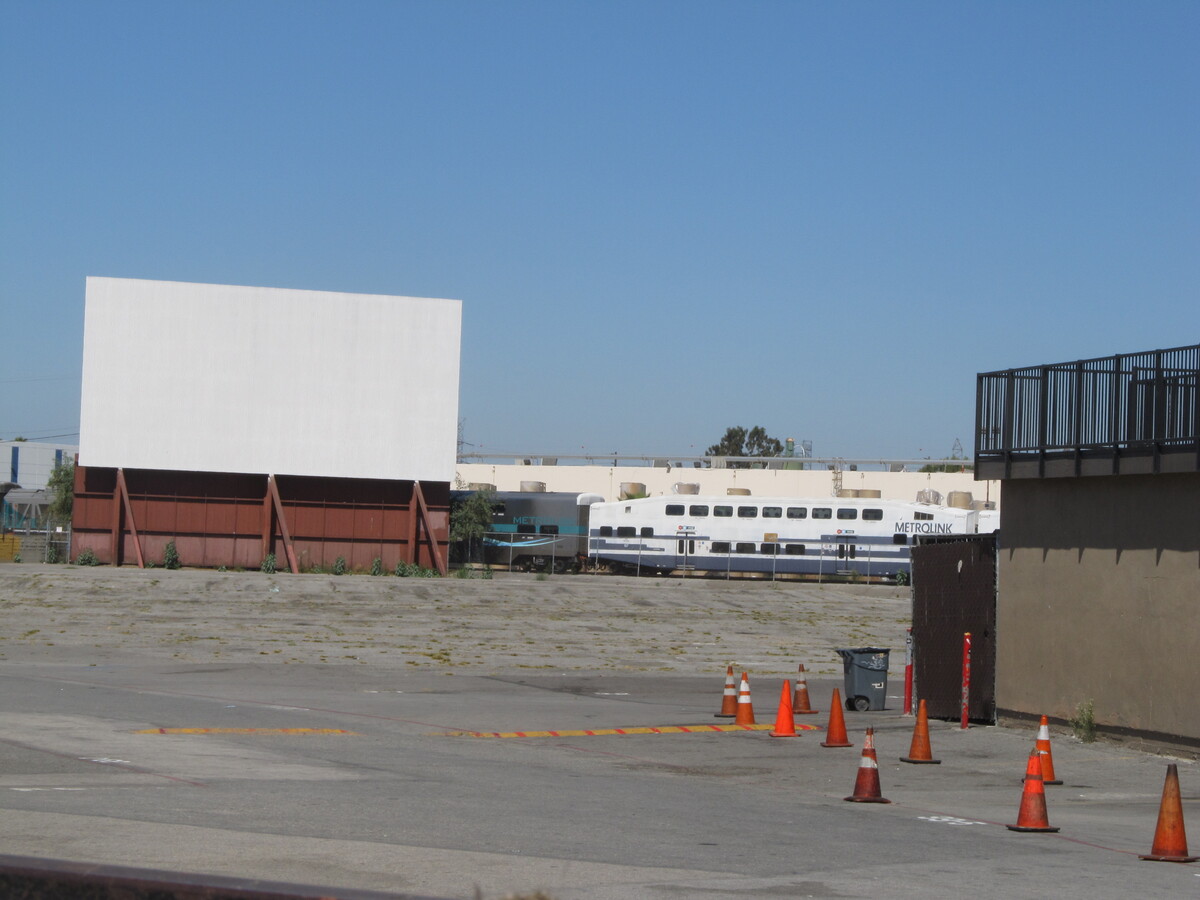
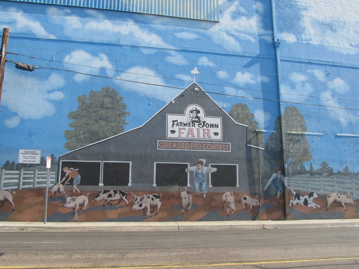
Today’s bike club ride was a trip down to Vernon to see the big mural painted on the outside of the Farmer John meat packing plant. We’ve been to see this before, but this is the first time in a long time.

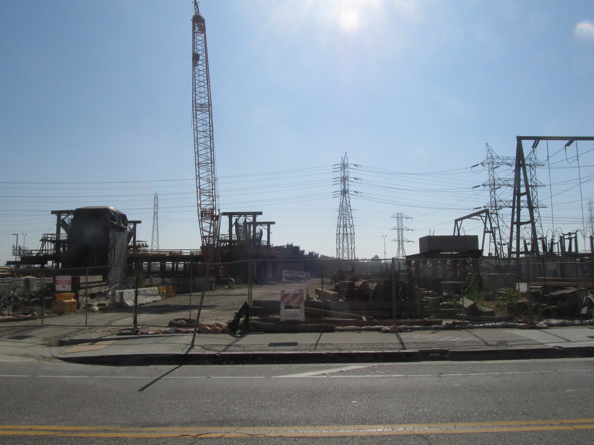
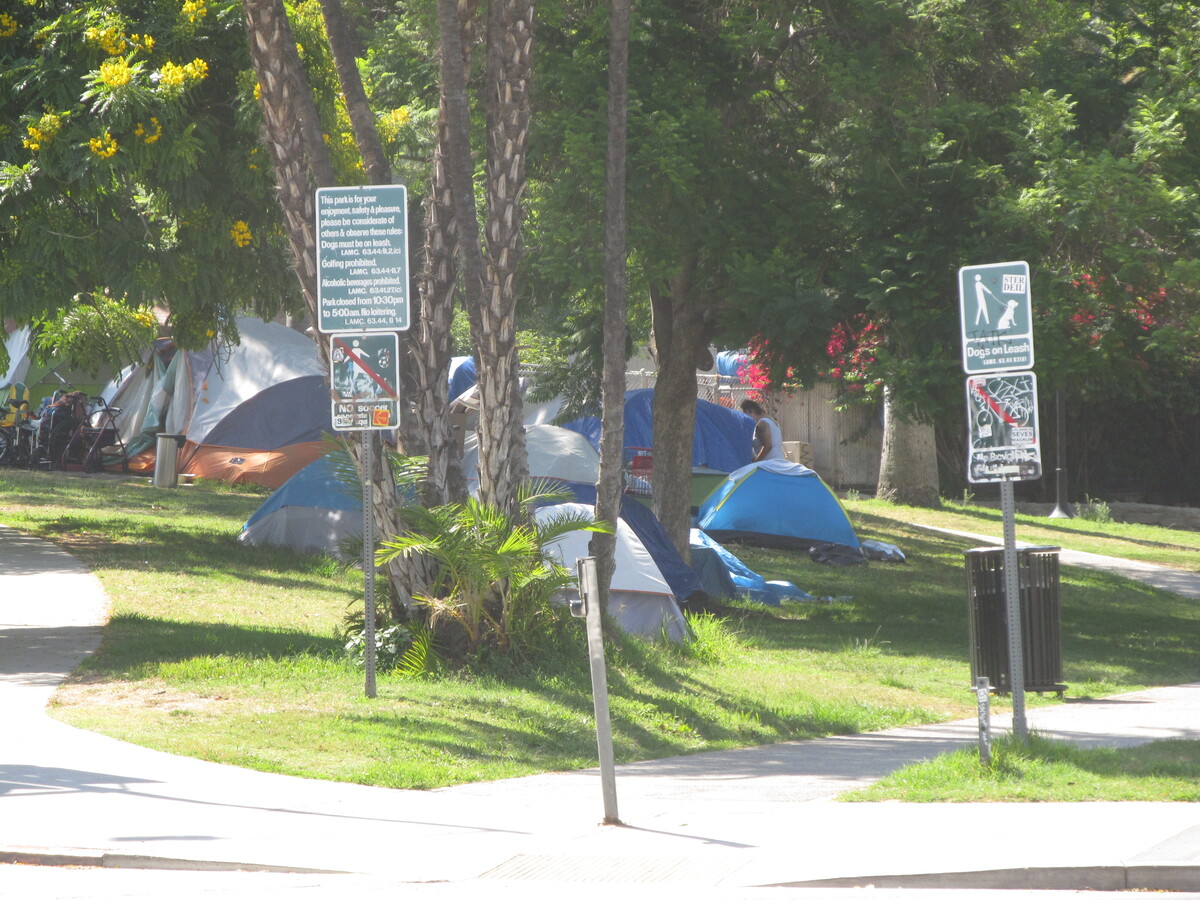
The route brought us through downtown Los Angeles. Along the way, we saw several large homeless camps in El Sereno. When we got to downtown, we took a short side trip to see how the construction is coming along for the tunnel entrance for the Regional Connector on 1st St. We also paused briefly to see how the new 6th St bridge is coming along.

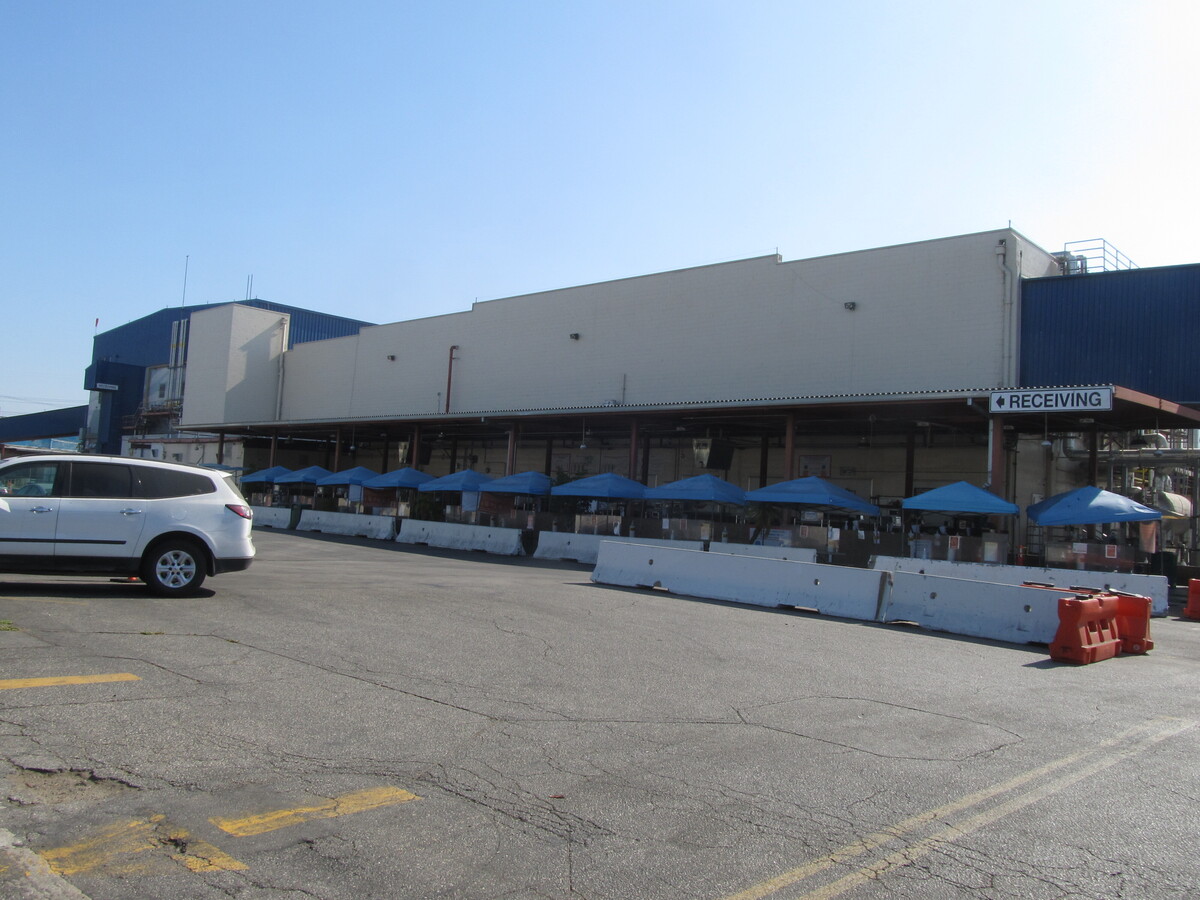
In Vernon, we stopped to admire the hog mural. We tried to see inside the gate and see the mural of the big angels flying off to hog heaven, but there was so much stuff set up inside the gate, we couldn’t see it.

We rode back through downtown and then up to Echo Park. There was yet another big homeless camp next to the lake in Echo Park. There really seem to be more of them than ever before, which is disturbing.

We rode through Elysian park, and I was soft of glad that I didn’t have to check to make sure there wasn’t a Dodger game today, although that’s because of Covid-19, which is far from a Good Thing.

We stopped for drinks at Antigua Coffee, and then headed home up the Arroyo Seco bike path.

42 miles.

Route map and elevation profile.

7/26/2020

Holodeck 9

Filed under: — stan @ 5:16 pm

This past week, I saw a little item in the news about how someone had decorated some stainless steel things in a park in North Hollywood to turn them into “Star Trek” holodeck control panels.

https://www.cnet.com/news/star-trek-fan-re-creates-holodeck-controls-in-los-angeles-public-park/

Of course, I immediately said, “I know where we’re riding this Sunday!”

The ride out there was pretty straightforward. There’s still a detour on the LA River bike path in Frogtown, but aside from that, we just cruised all the way to North Hollywood. It turned out that the guy who made the holodeck control panels made two sets of them. Both are along the walking path that runs along Tujunga Ave. One is just south of Magnolia, and the other is about a half-block south from there. We all agreed that the simulation of a Los Angeles city park, circa early-21st-century was very realistic. The only thing wrong was the coronavirus pandemic, but we couldn’t find the power switch to turn it off and back on.

We stopped for drinks at Groundwork Coffee in NoHo, and then headed home. The route home went up and over the Linda Vista hill, which felt much harder today for some reason. But no matter. We made it back just fine.

47 miles

Route map and elevation profile

6/7/2020

Remembering Rodney King

Filed under: — stan @ 2:48 pm

Watching the news these past two weeks has been surreal. Seeing protests and riots in cities around the world brings back the memory of the 1992 Los Angeles riots, and so, it seemed appropriate that we should go to Forest Lawn and pay respects to Rodney King. He was the original guy-beat-up-by-police-on-video.

When we got to the cemetery, there was a deer wandering around. It was just strolling around and eating the flowers that had been left at graves. The cemetery is right next to Griffith Park, so I guess it’s probably not surprising that wildlife from the park would wander in.

After the cemetery, we continued on to Priscilla’s for snacks. Along the way, we saw a bit advertisement for “Wonder Woman 1984″. It said, “Only in theaters, June 5″, which seems a bit improbable, since all the theaters are still closed right now. I see in the entry for it in IMDB, the release has been pushed back to August.

Coming home, we did a route we haven’t done in some time. Up Verdugo and home through La Cañada. That was nice climb.

45 miles.

Route map and elevation profile

5/31/2020

The Glendora Bougainvillea

Filed under: — stan @ 2:16 pm

This has been a weird week. Protests erupting in the streets around the world. So it seemed appropriate that we should avoid going anywhere near downtown Los Angeles today. So the other direction took us east to go see the Glendora Bougainvillea. We’ve been to see it before, but this is the prime season for bougainvillea flowers, so it’s generally a good time to go see it. And it worked out well. We didn’t see any street protests along the way, and the flowers were nice.

43 miles.

Route map and elevation profile

5/24/2020

The Giant Tamale

Filed under: — stan @ 2:22 pm

Today’s bike ride was a trip down to East L.A. to see the giant tamale on Whittier Blvd. This is one of the relatively few remaining examples of programatic architecture in Los Angeles. Also, on the way there, we took a short side trip to see the sea monsters playground at Vincent Lugo Park in San Gabriel. On the way back, we stopped at Merengue in Monrovia. For some reason, there was no line there today, so we were able to go in and get some snacks.

39 miles.

Route map and elevation profile

5/22/2020

A Bit of History

Filed under: — stan @ 3:46 pm

This whole retirement thing is still very novel. It means that I can go on weekday bike rides, and being on lockdown at home means I have time to watch a lot of TV and movies. Lately, I found a new PBS show called “Lost L.A.”. One of the episodes is called “Discovering the Universe”, about how the Mt Wilson observatory was the site of one of the single greatest astronomical discoveries. So while I was out riding with Carla today, we decided to go by and see the Carnegie building in Pasadena where they have the archive of the glass photo plates where Edwin Hubble figured out that the universe was far, far larger than the Milky Way galaxy. It was this bit of history that was why I was willing to fork over a fair amount of money to Atlas Obscura for a chance to go look through the 100-inch telescope.

30 miles.

Route map and elevation profile

Page 5 of 93« First...«34567»102030...Last »

Powered by WordPress