A slightly-damp CicLAvia
 |
 |
 |
 |
 |
 |
 |
 |
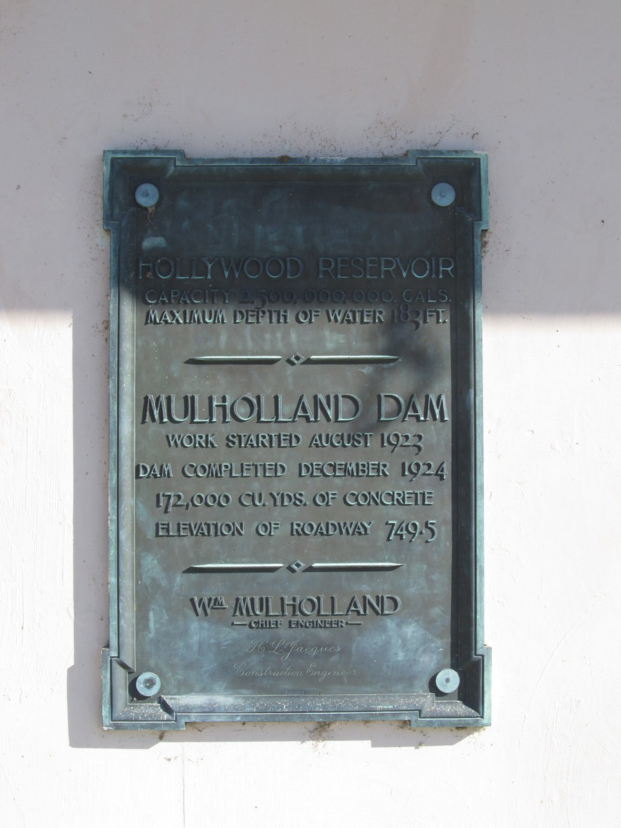
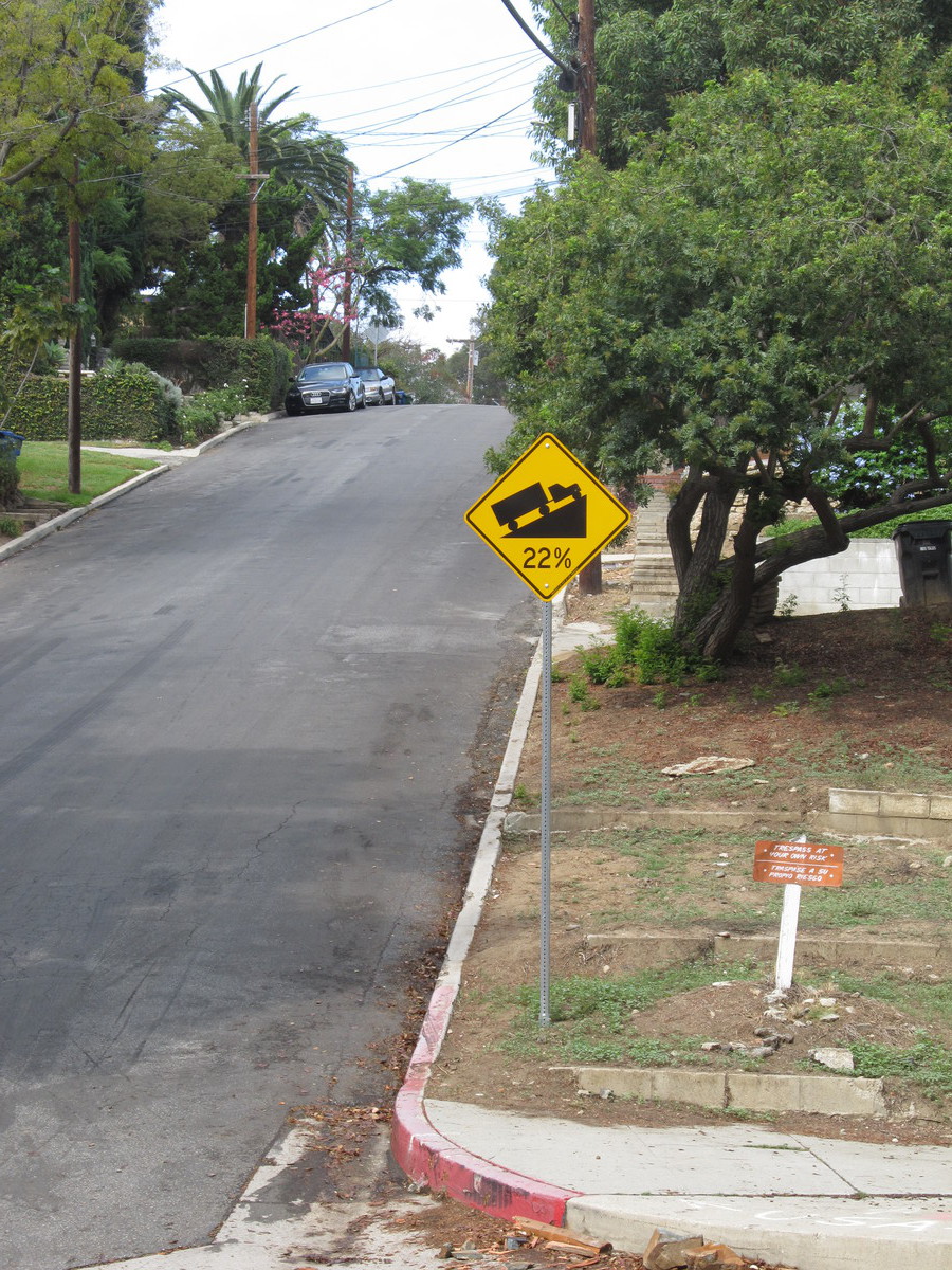
This week’s bike club ride was planned to be a visit to yet another downtown CicLAvia, followed by a side trip to Echo Park to see some abandoned oil wells there. The weather was threatening rain, and this route would also keep us close to Metro Rail stations, just in case we needed to bail out.
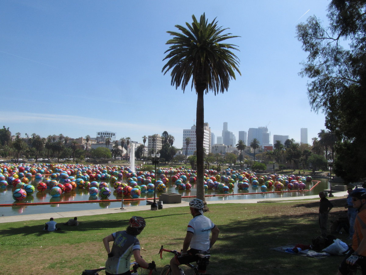
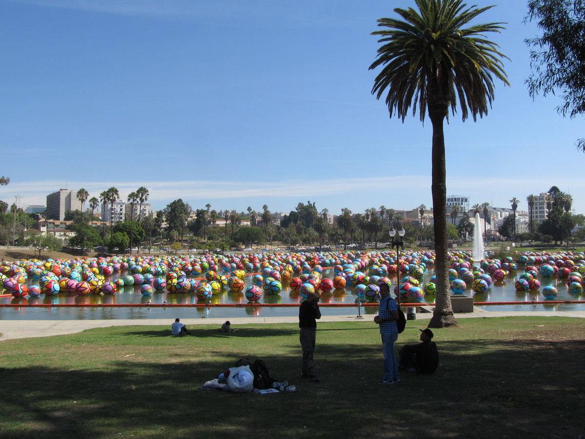
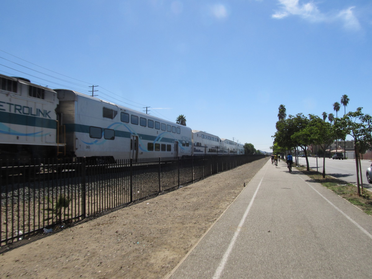
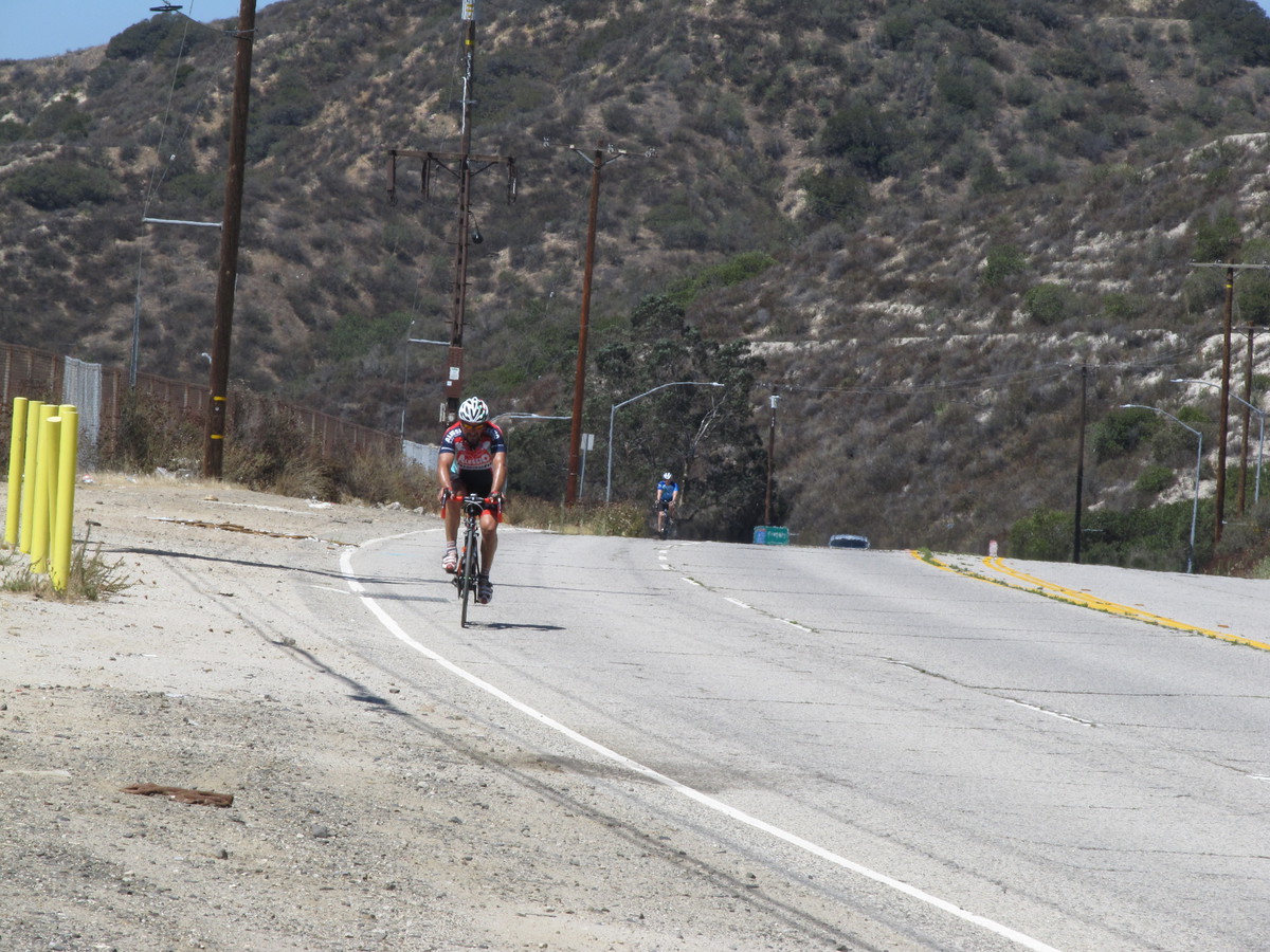
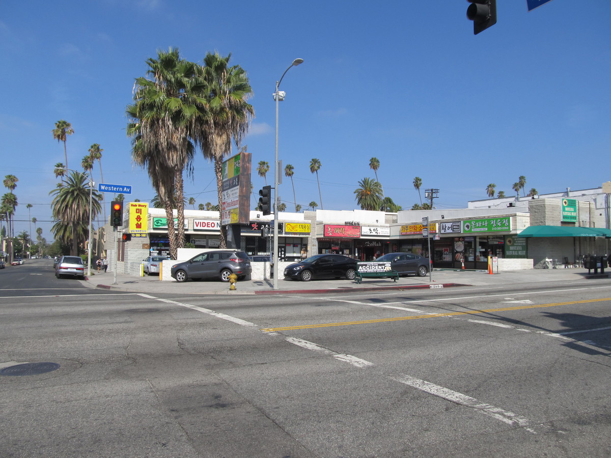
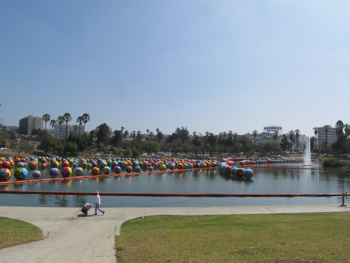
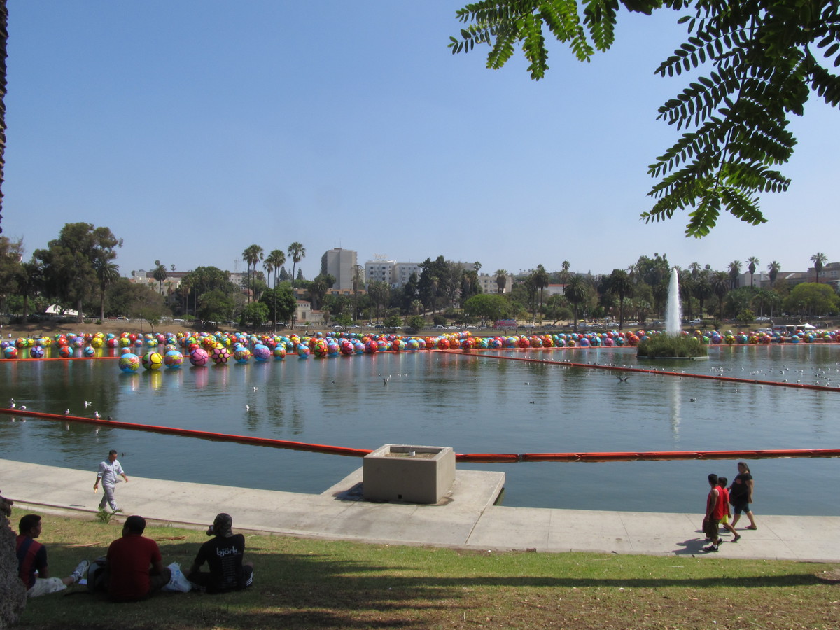
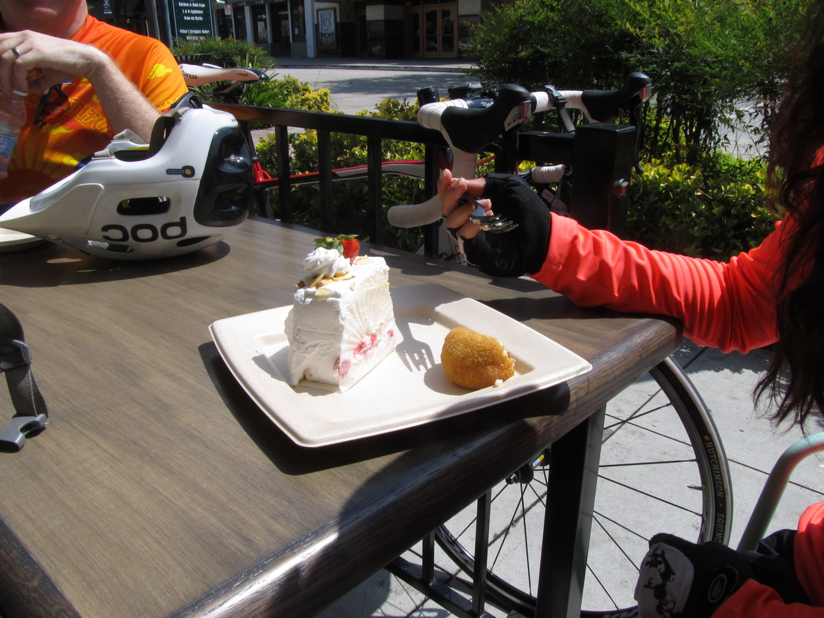
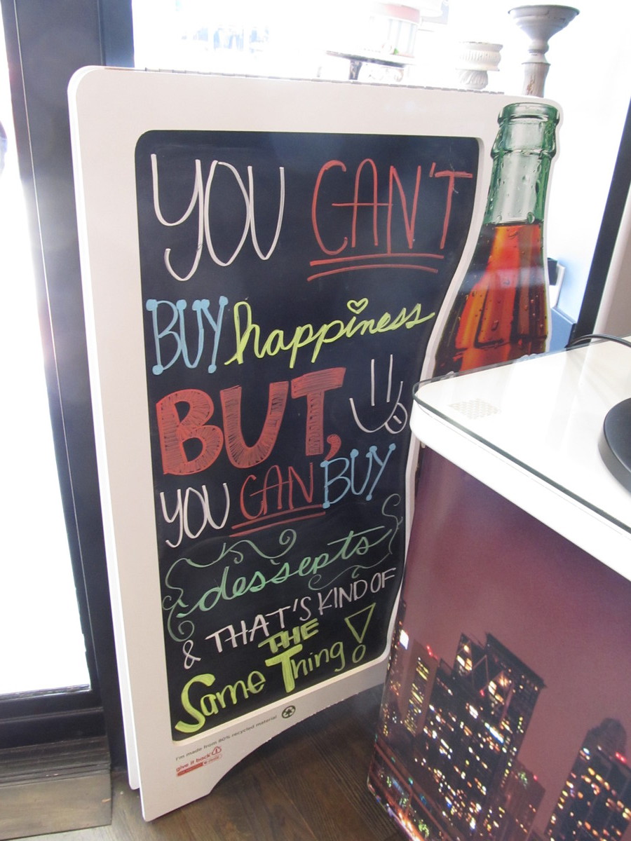
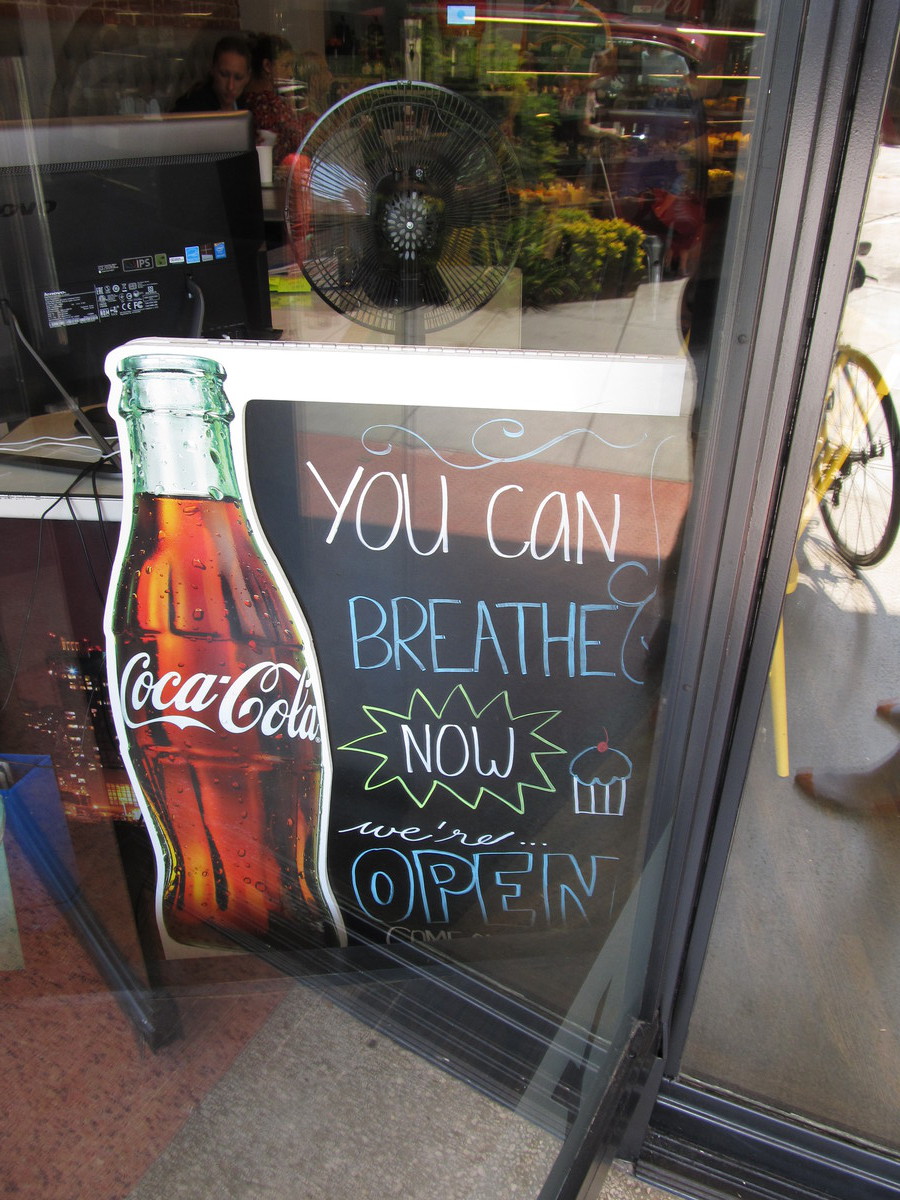
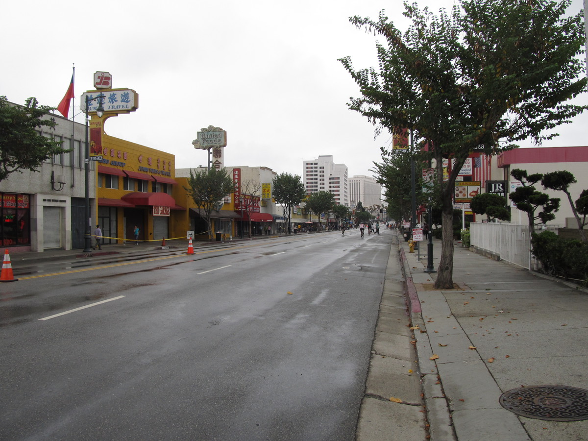
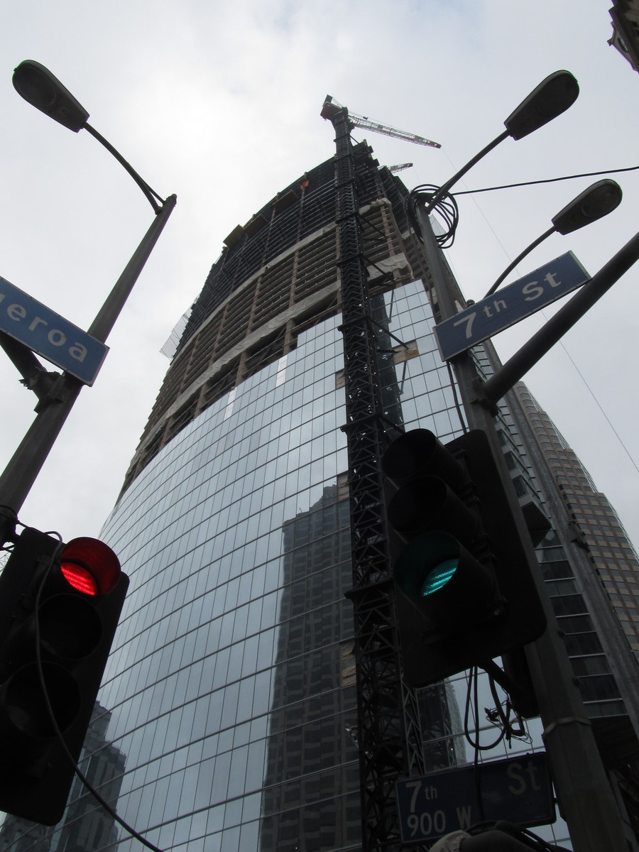
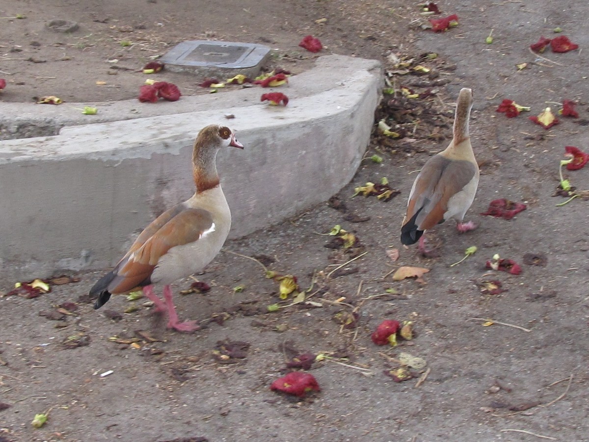
Pretty much as soon as we started out, we felt a few raindrops. It got wetter as we headed down Sierra Madre Blvd, and when we got to Huntington Drive, Carla turned around and bailed out. The rest of us continued on. I figured we could go a few more miles, and if it got worse, we’d just go the South Pasadena Metro station and take the train back. But as we continued on, the rain got lighter, and by the time we were coming in to downtown L.A., it has stopped. The streets were still wet, but it wasn’t actively raining any more. So we joined up with the CicLAvia route in Chinatown and rode it all the way to the other end by MacArthur Park. It was actually kind of nice, since the rain meant that a lot of people stayed away, and it wasn’t too crowded. We stopped to look at the Spheres art installation again, and I also noticed a few Egyptian Geese wandering around in the park. We’d seen some of them when we visited the Japanese Garden in Van Nuys, and I recognized them, since they kind of look like they’re wearing Lucha Libre masks. Since it still wasn’t too crowded on the streets, we decided to skip the side trip to the oil wells, and ride back to Chinatown. By the time we got there, word was getting around that the rain had stopped and streets had dried, and the route started to get crowded a bit. So we left it in Chinatown and headed up the hill by Dodger Stadium and the 9/11 memorial by the Fire Department training center to get to Echo Park and Chango Coffee. We had some snacks and drinks there.
By now, it was pretty clearly finished raining for the day, so we headed home by our regular route up Eagle Rock Blvd and then across Highland Park on York. And in the end, it turned out to be a pretty pleasant ride.
40 miles.